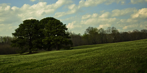
Elevation of Farm to Market Rd Hwy, Maud, TX, USA
Location: United States > Texas > Bowie County > Maud >
Longitude: -94.294181
Latitude: 33.298366
Elevation: 81m / 266feet
Barometric Pressure: 100KPa
Related Photos:
Topographic Map of Farm to Market Rd Hwy, Maud, TX, USA
Find elevation by address:

Places near Farm to Market Rd Hwy, Maud, TX, USA:
Maud
4209 Fm 2149
Arkadelphia Baptist Church
Douglassville
5544 Tx-8
TX-8, Douglassville, TX, USA
Hooks
200 Rex Ave
100 James Carlow Dr Bldg 412
100 James Carlow Dr Bldg 412
US-67, Simms, TX, USA
100 Armory Rd
810 Co Rd 2228
New Boston
Cass County
Simms
Bowie County
568 Co Rd 2361
FM, Marietta, TX, USA
Marietta
Recent Searches:
- Elevation of Corso Fratelli Cairoli, 35, Macerata MC, Italy
- Elevation of Tallevast Rd, Sarasota, FL, USA
- Elevation of 4th St E, Sonoma, CA, USA
- Elevation of Black Hollow Rd, Pennsdale, PA, USA
- Elevation of Oakland Ave, Williamsport, PA, USA
- Elevation of Pedrógão Grande, Portugal
- Elevation of Klee Dr, Martinsburg, WV, USA
- Elevation of Via Roma, Pieranica CR, Italy
- Elevation of Tavkvetili Mountain, Georgia
- Elevation of Hartfords Bluff Cir, Mt Pleasant, SC, USA


