Elevation of Fancy Gap Hwy, Hillsville, VA, USA
Location: United States > Virginia > Carroll County > Hillsville >
Longitude: -80.6980285
Latitude: 36.7169022
Elevation: 866m / 2841feet
Barometric Pressure: 0KPa
Related Photos:
view-
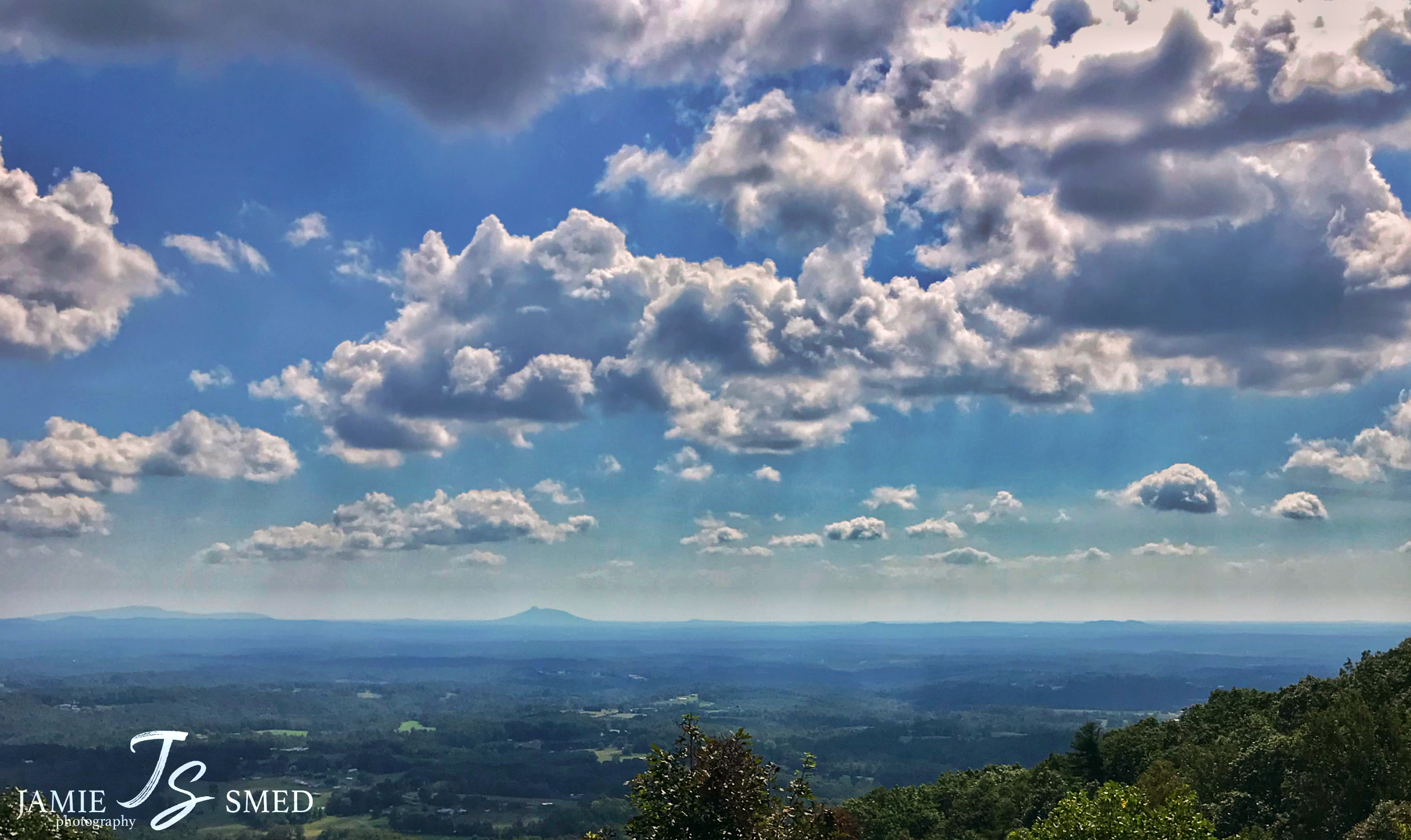
PARKWAY VIEW
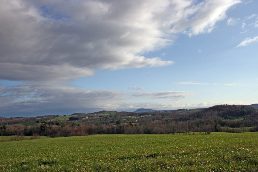
The Rolling Blue Ridge Mountians
View from the J. Sidna Allen House, Fancy Gap, Virginia

Wicker Rocking Chairs--Hale-Wilkinson-Carter Home, Hillsville, Va 10
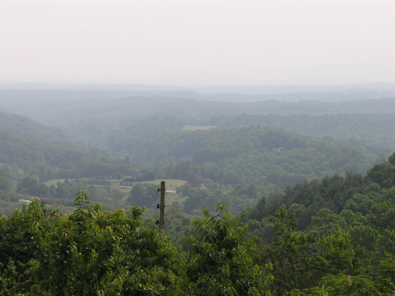
Nice view
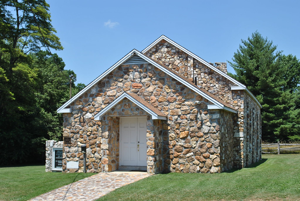
BLUEMONT PRESBYTERIAN CHURCH
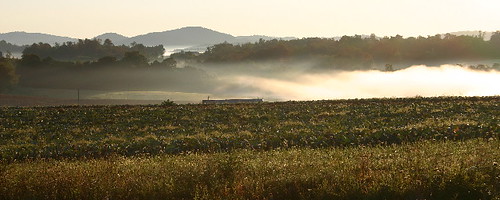
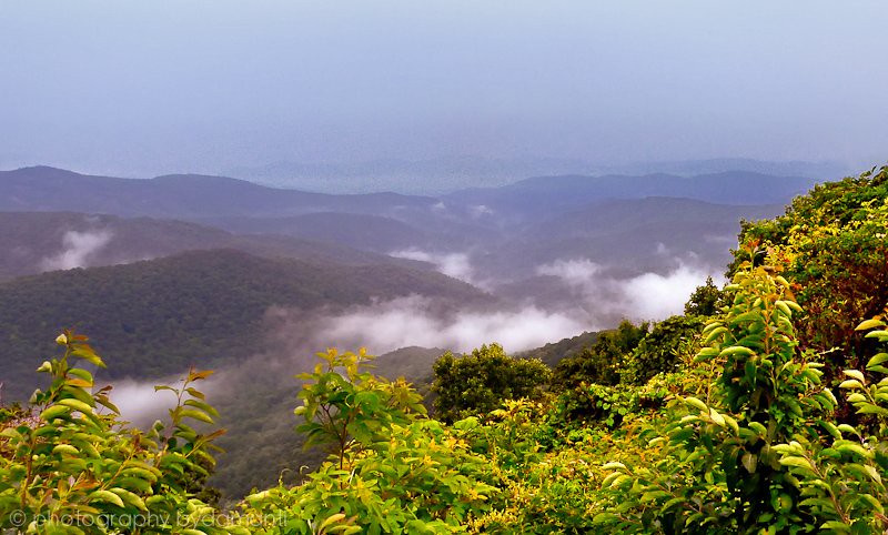
the morning fog
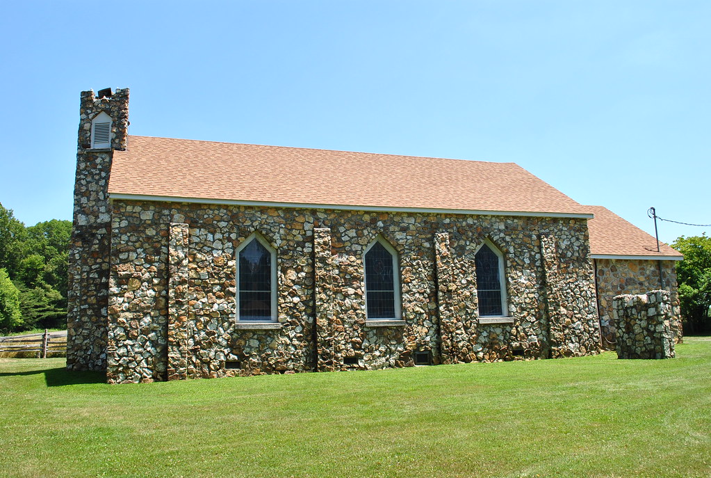
BLUEMONT PRESBYTERIAN CHURCH
View from the porch
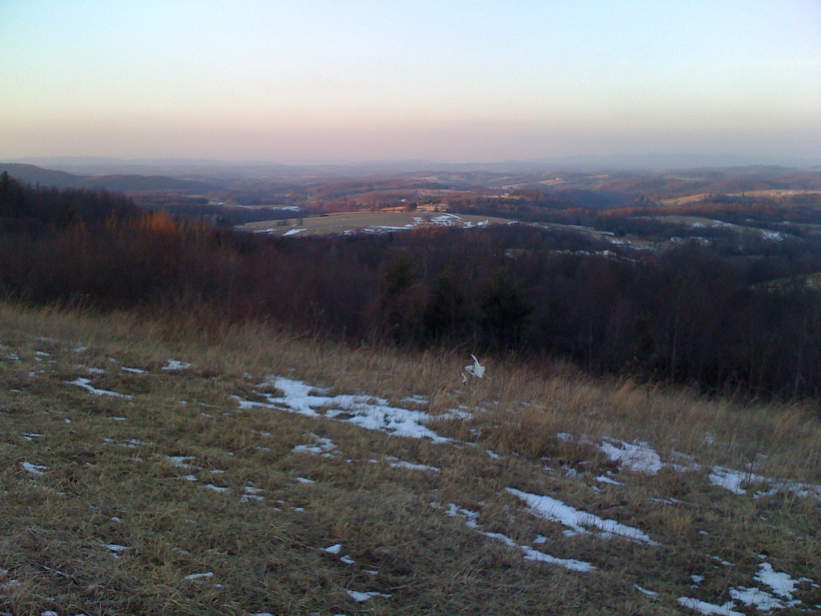
View from Beamer's Knob
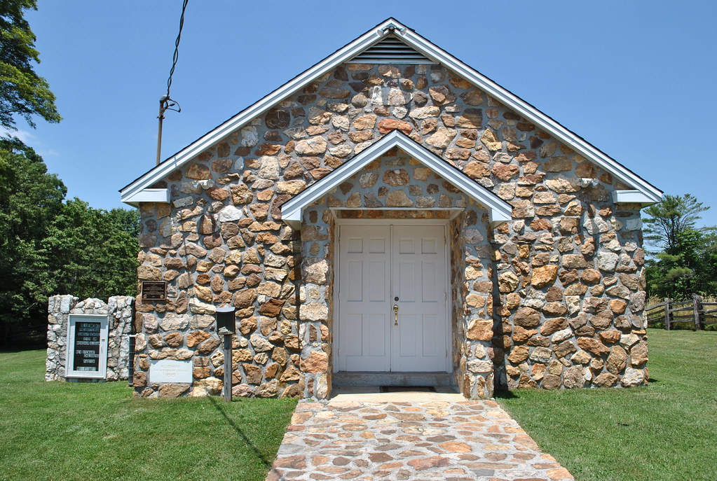
BLUEMONT PRESBYTERIAN CHURCH
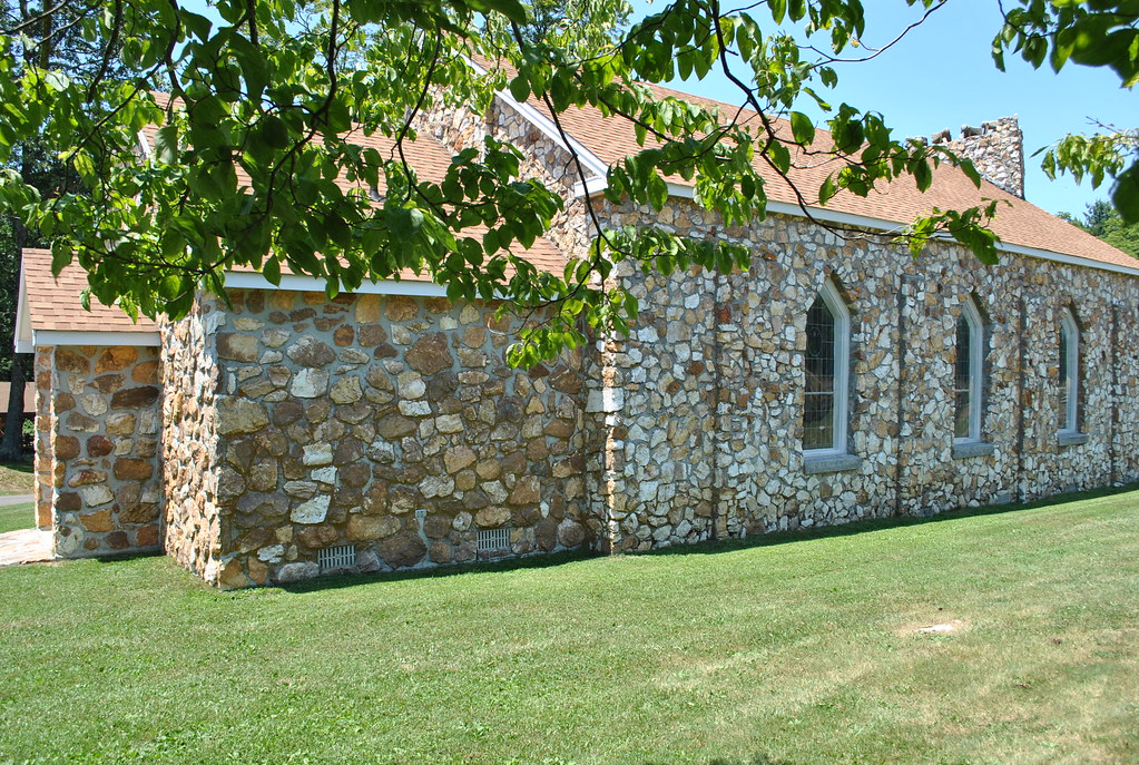
BLUEMONT PRESBYTERIAN CHURCH

1500 ft up. I absolutely love this view! I wish there was a scenic lookout. #coffmanclan
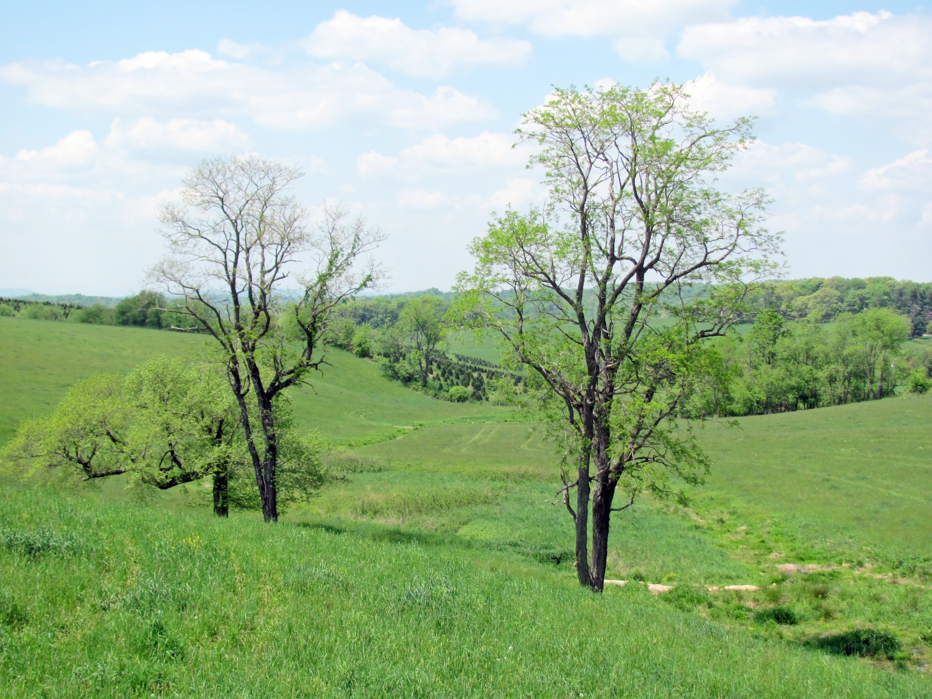
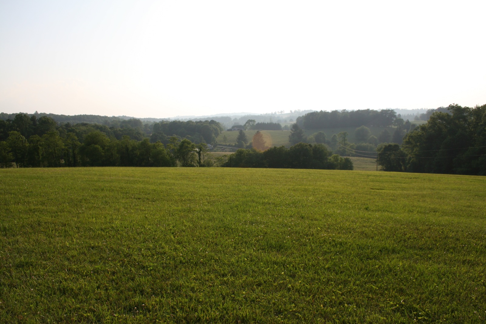
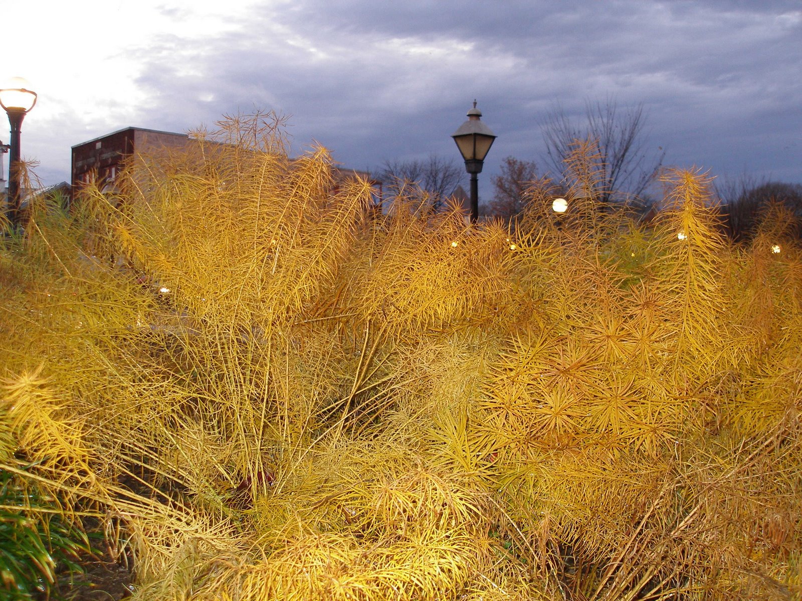
View from the Orchard
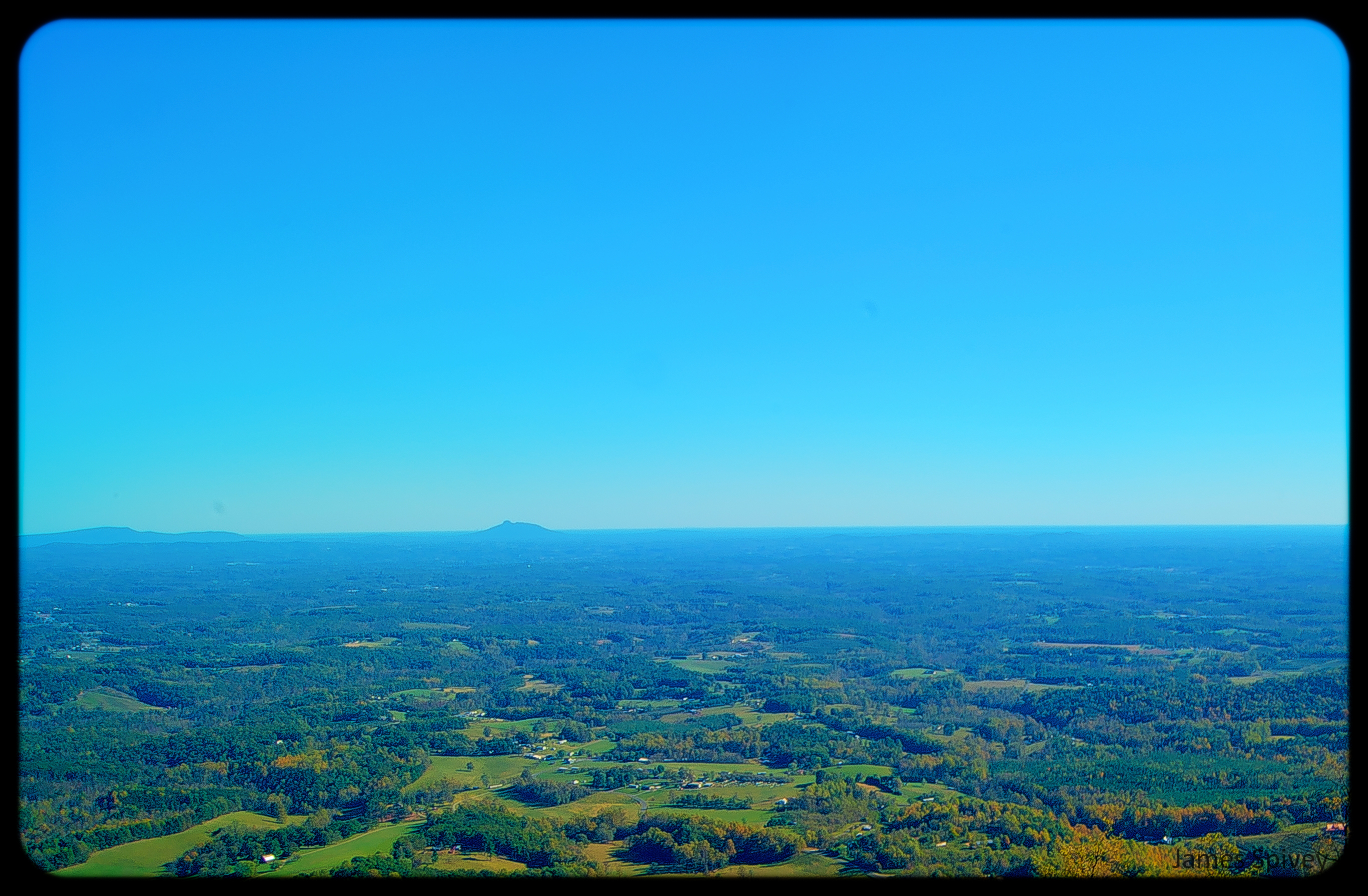
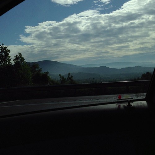
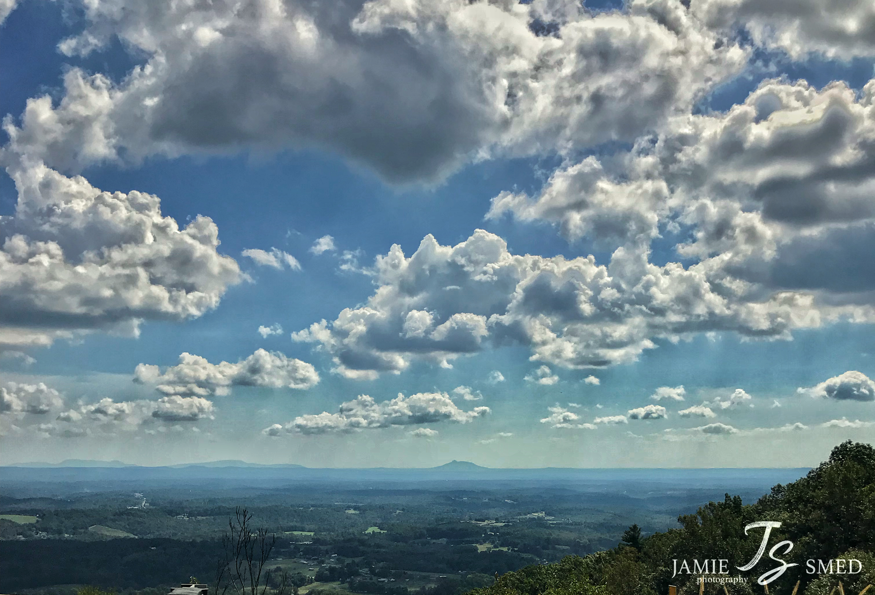
This is a view from one of the scenic overlooks along the Blue Ridge Parkway when I came back to Virginia from Winston-Salem. On the way north on I-77 as you leave North Carolina and approach the Virginia border the Blue Ridge clearly rises above the plai

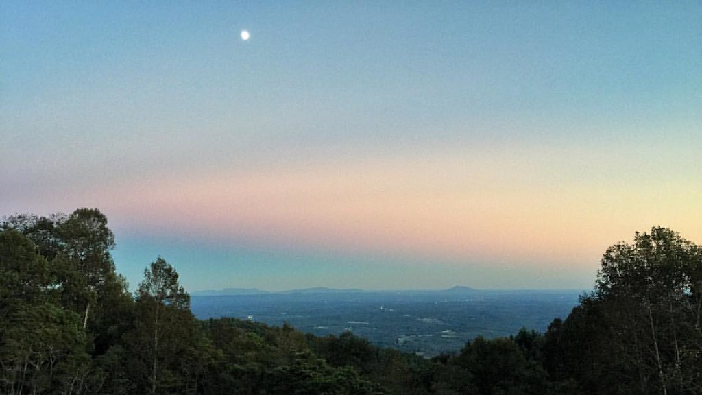
Dreamy sunset
img000925.png
IMG_5968.JPG

bee balm and daisies
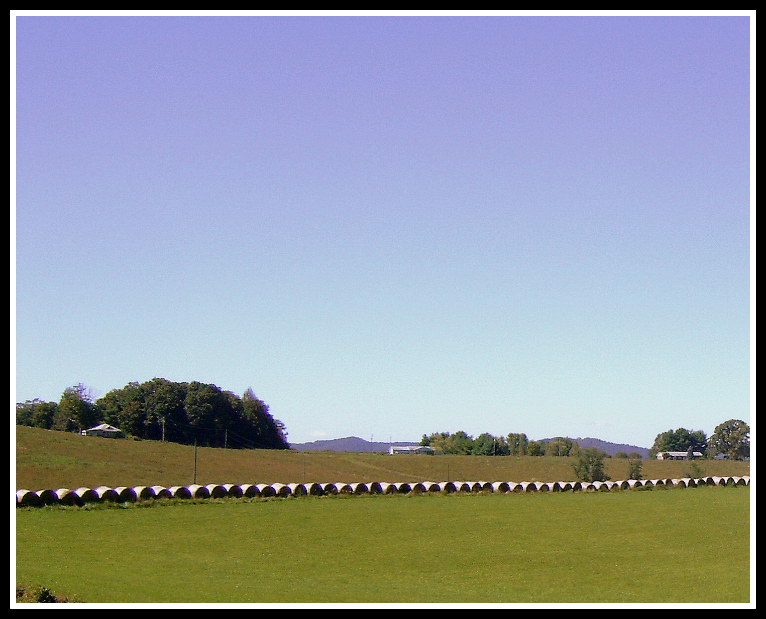
Hay Rolls, Fancy Gap Va, Carroll County

IMG_6092.JPG
IMG_4125.JPG

Hillsville, West Virginia. #theroadlesstraveled # landscape

IMG_2201.JPG
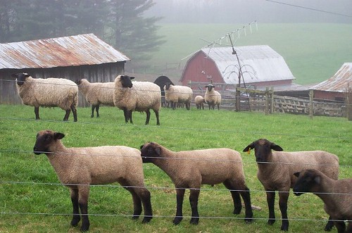
Foggy Spring Day

IMG_3931.JPG

img000916.png
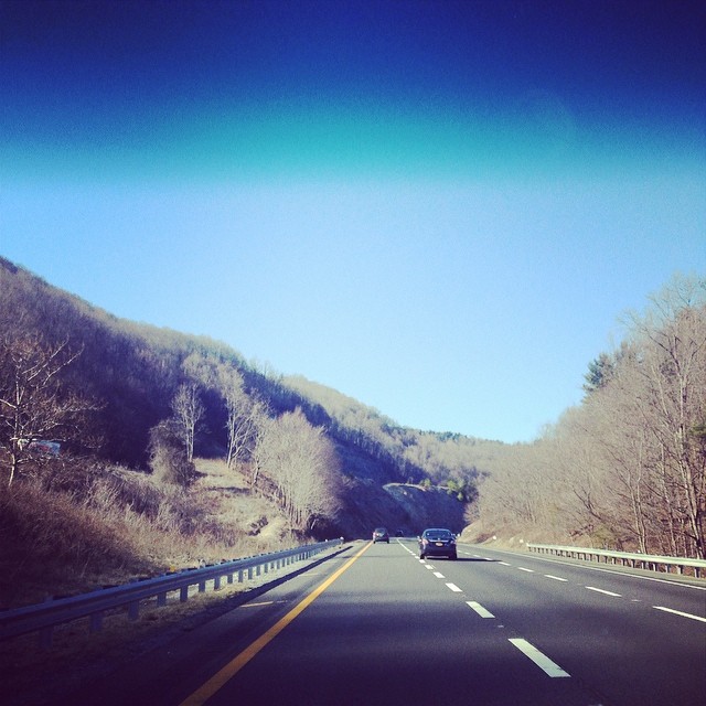
The mountains of... Not sure which state I am in. Beautiful though!
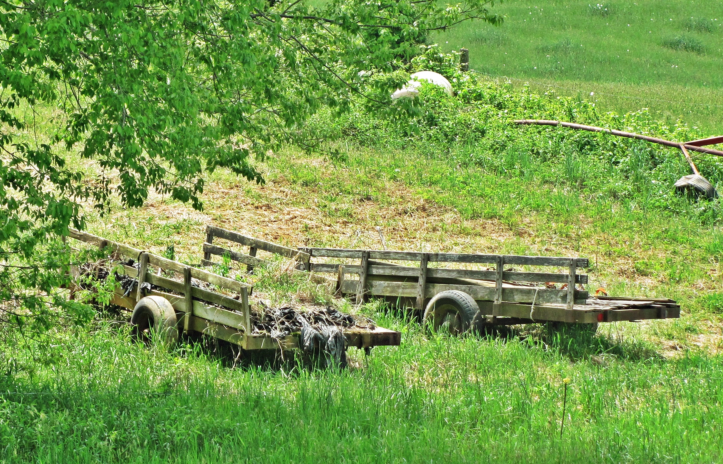
Farm Wagons

img000904.png
img000903.png

img000930.png
Topographic Map of Fancy Gap Hwy, Hillsville, VA, USA
Find elevation by address:

Places near Fancy Gap Hwy, Hillsville, VA, USA:
297 Sawyers Ln
614 Mountain Plains Rd
Scarey Lane
687 Whispering Ridge
387 Cherokee Rd
East Fork Little Reed Island Creek
Skyview Road
8630 Chances Creek Rd
Fancy Gap Realty
72 Sy Trail
Carroll County
Mountain Top Motel
7833 Fancy Gap Hwy
Fancy Gap
5665 Chances Creek Rd
47 Fox Trl Lp
217 State Rd 921
857 Red Hill Rd
706 Beamers Knob Rd
774 Carrollview Rd
Recent Searches:
- Elevation map of Greenland, Greenland
- Elevation of Sullivan Hill, New York, New York, 10002, USA
- Elevation of Morehead Road, Withrow Downs, Charlotte, Mecklenburg County, North Carolina, 28262, USA
- Elevation of 2800, Morehead Road, Withrow Downs, Charlotte, Mecklenburg County, North Carolina, 28262, USA
- Elevation of Yangbi Yi Autonomous County, Yunnan, China
- Elevation of Pingpo, Yangbi Yi Autonomous County, Yunnan, China
- Elevation of Mount Malong, Pingpo, Yangbi Yi Autonomous County, Yunnan, China
- Elevation map of Yongping County, Yunnan, China
- Elevation of North 8th Street, Palatka, Putnam County, Florida, 32177, USA
- Elevation of 107, Big Apple Road, East Palatka, Putnam County, Florida, 32131, USA
- Elevation of Jiezi, Chongzhou City, Sichuan, China
- Elevation of Chongzhou City, Sichuan, China
- Elevation of Huaiyuan, Chongzhou City, Sichuan, China
- Elevation of Qingxia, Chengdu, Sichuan, China
- Elevation of Corso Fratelli Cairoli, 35, Macerata MC, Italy
- Elevation of Tallevast Rd, Sarasota, FL, USA
- Elevation of 4th St E, Sonoma, CA, USA
- Elevation of Black Hollow Rd, Pennsdale, PA, USA
- Elevation of Oakland Ave, Williamsport, PA, USA
- Elevation of Pedrógão Grande, Portugal