Elevation of Falling Creek Rd, Huddleston, VA, USA
Location: United States > Virginia > Bedford County > Lakes > Huddleston >
Longitude: -79.406448
Latitude: 37.2501818
Elevation: 250m / 820feet
Barometric Pressure: 98KPa
Elevation Map:
Satellite Map:
Related Photos:

2019 04-20 1223-2 UP-CNW SD70ACe-1995 E/B 188 Bedford, VA

Ground Assault Tableau, National D-Day Memorial 11/10/2013

2019 04-20 1222-1 UP-CNW SD70ACe-1995 E/B 188 Bedford, VA

2019 04-20 1223-92 UP-CNW SD70ACe-1995 E/B 188 Bedford, VA

Spring Storms in Central Virginia

Virginia Road

Forest VA_0753

RAD2013.05.20.19 BPO Elks Home
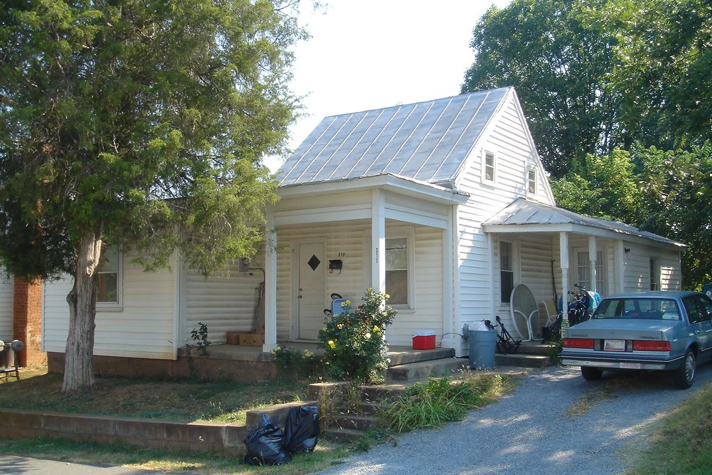
Last view of 313 South St

RAD2013.05.20.20 BPO Elks Home

view west in Forest, Virginia with rain clouds approaching

RAD2013.05.20.21 BPO Elks Home

RAD2013.05.20.18 BPO Elks Home

Rubatex Plant

National D-Day Memorial

National D-Day Memroial

National D-Day Memorial
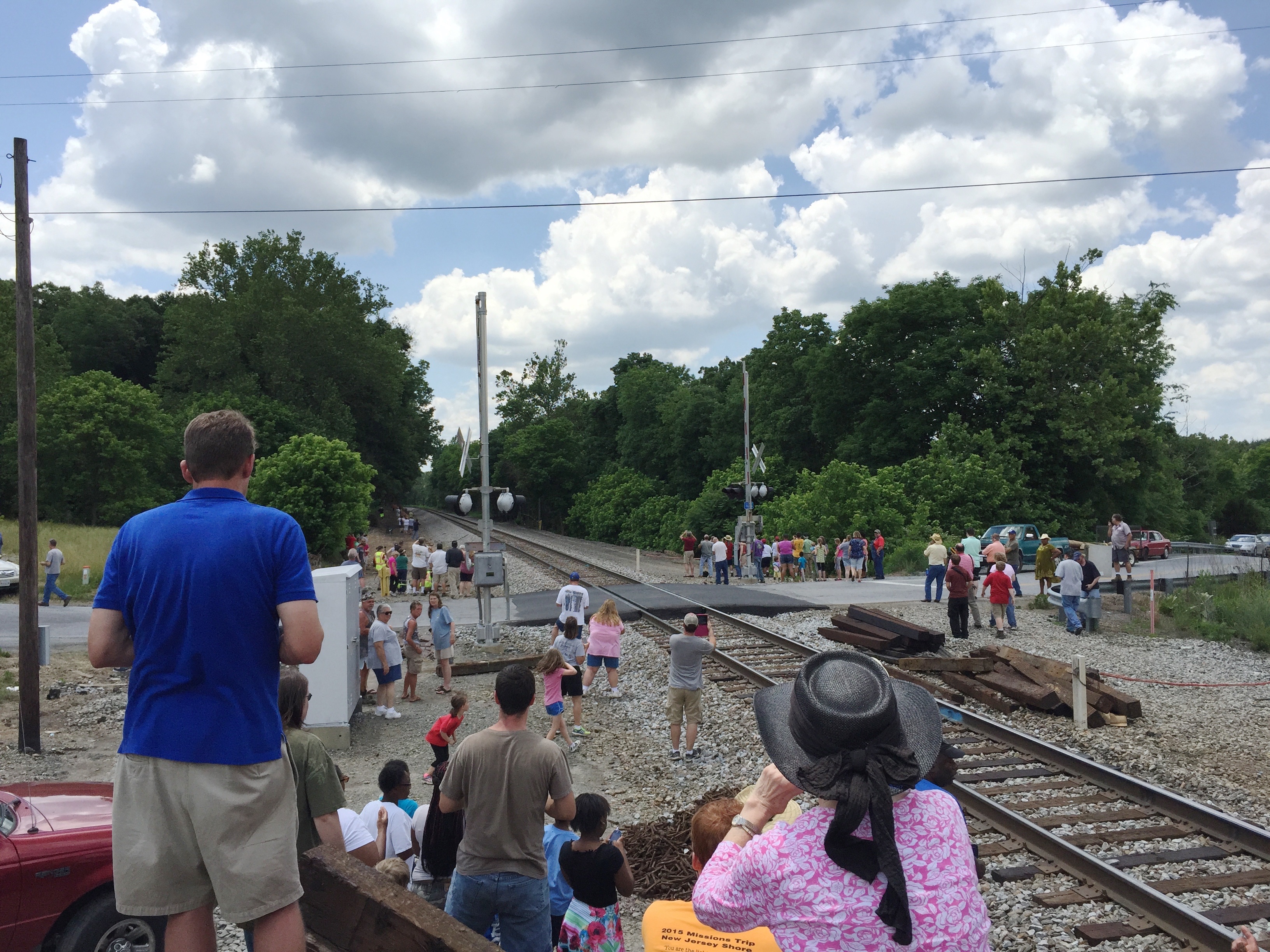
1-6 611 Steam Locomotive

view from Forest Square, Forest, Virginia

view in Mt. Haven, Bedford County

Swansons' View

A Shower of Meteors

Fabulous Fog

Sunset over the Blue Ridge

Bedford Factory

Sun Rays at Sunset
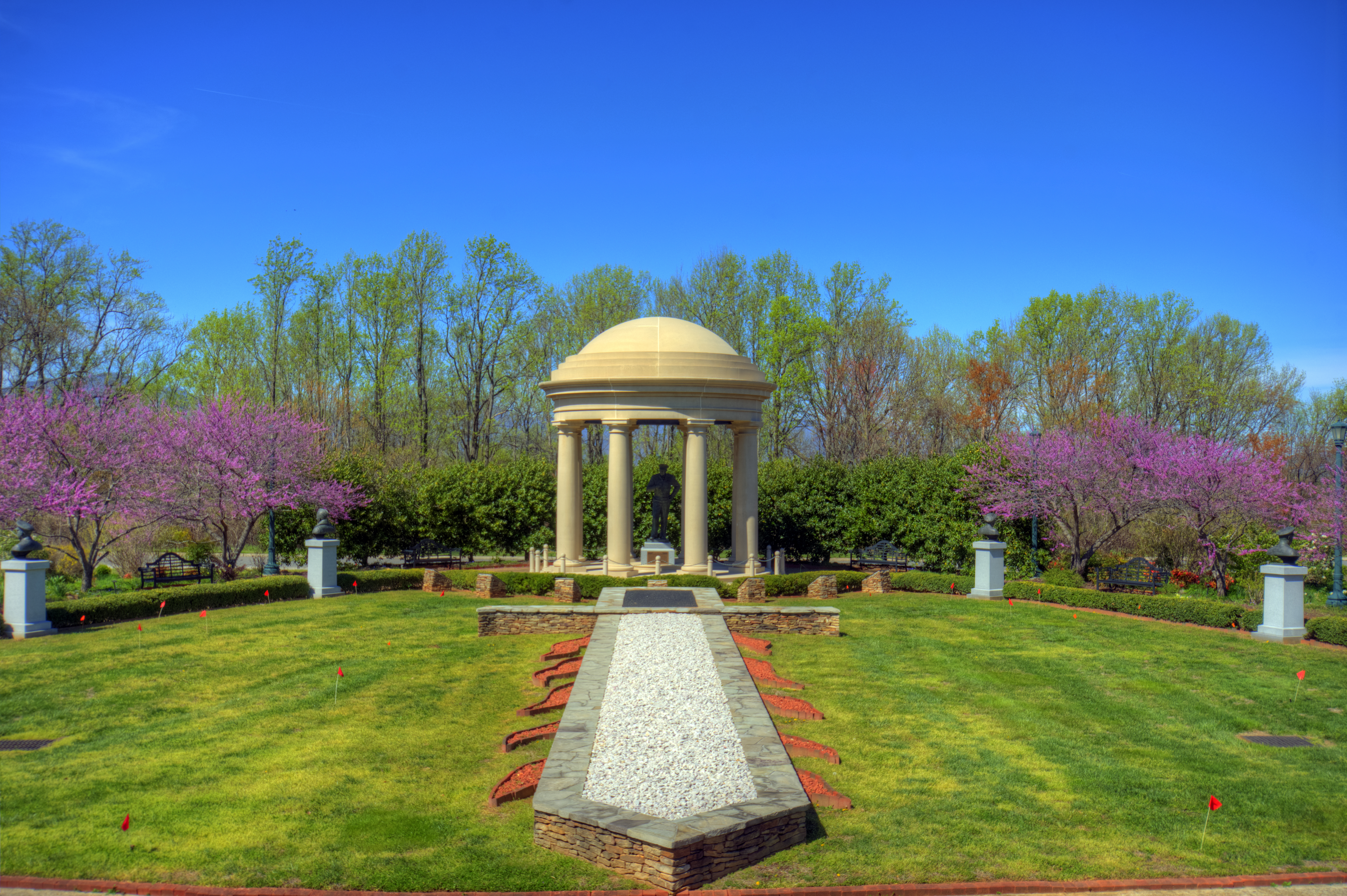
Richard S. Reynolds Sr. Garden

Little Shed

Sky waves

Rainbow Oak

Peaks of Otter
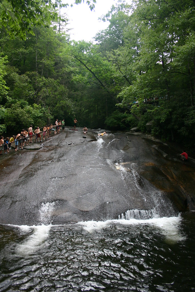
"Slippery Rock" Pisgah Nat.Forest

Awesome "Slippery Rock" North Carolina

Pisgah National Forest

Another shot of the Peaks

Looking towards Bedford D Day Memorias

Peaks of Otter, Dusk

Big otter River
Topographic Map of Falling Creek Rd, Huddleston, VA, USA
Find elevation by address:

Places near Falling Creek Rd, Huddleston, VA, USA:
11722 Falling Creek Rd
Leesville Rd, Huddleston, VA, USA
Evington
Altavista
Langdon Road
Bedford Hwy, Lynch Station, VA, USA
Flat Creek Pet Care
165 Falkland Place Rd
809 Falkland Place Rd
Lynch Station
91 Hogan Hill Ln
Frazier Road
519 Autumn Dr
1201 Bedford Ave
319 Myrtle Ln
1201 Avondale Dr
1201 Avondale Dr
29 Arrington Dr
Altavista
3rd Street
Recent Searches:
- Elevation of Corso Fratelli Cairoli, 35, Macerata MC, Italy
- Elevation of Tallevast Rd, Sarasota, FL, USA
- Elevation of 4th St E, Sonoma, CA, USA
- Elevation of Black Hollow Rd, Pennsdale, PA, USA
- Elevation of Oakland Ave, Williamsport, PA, USA
- Elevation of Pedrógão Grande, Portugal
- Elevation of Klee Dr, Martinsburg, WV, USA
- Elevation of Via Roma, Pieranica CR, Italy
- Elevation of Tavkvetili Mountain, Georgia
- Elevation of Hartfords Bluff Cir, Mt Pleasant, SC, USA