Elevation of Falkland, BC V0E, Canada
Location: Canada > British Columbia > Columbia-shuswap > Columbia-shuswap D >
Longitude: -119.55276
Latitude: 50.500051
Elevation: 600m / 1968feet
Barometric Pressure: 94KPa
Elevation Map:
Satellite Map:
Related Photos:

FalklandBC Tuesday April 16th 1045PDT
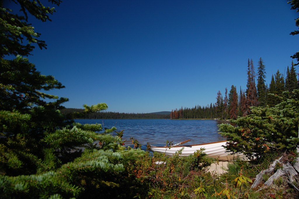
Arthur Lk. B.C.

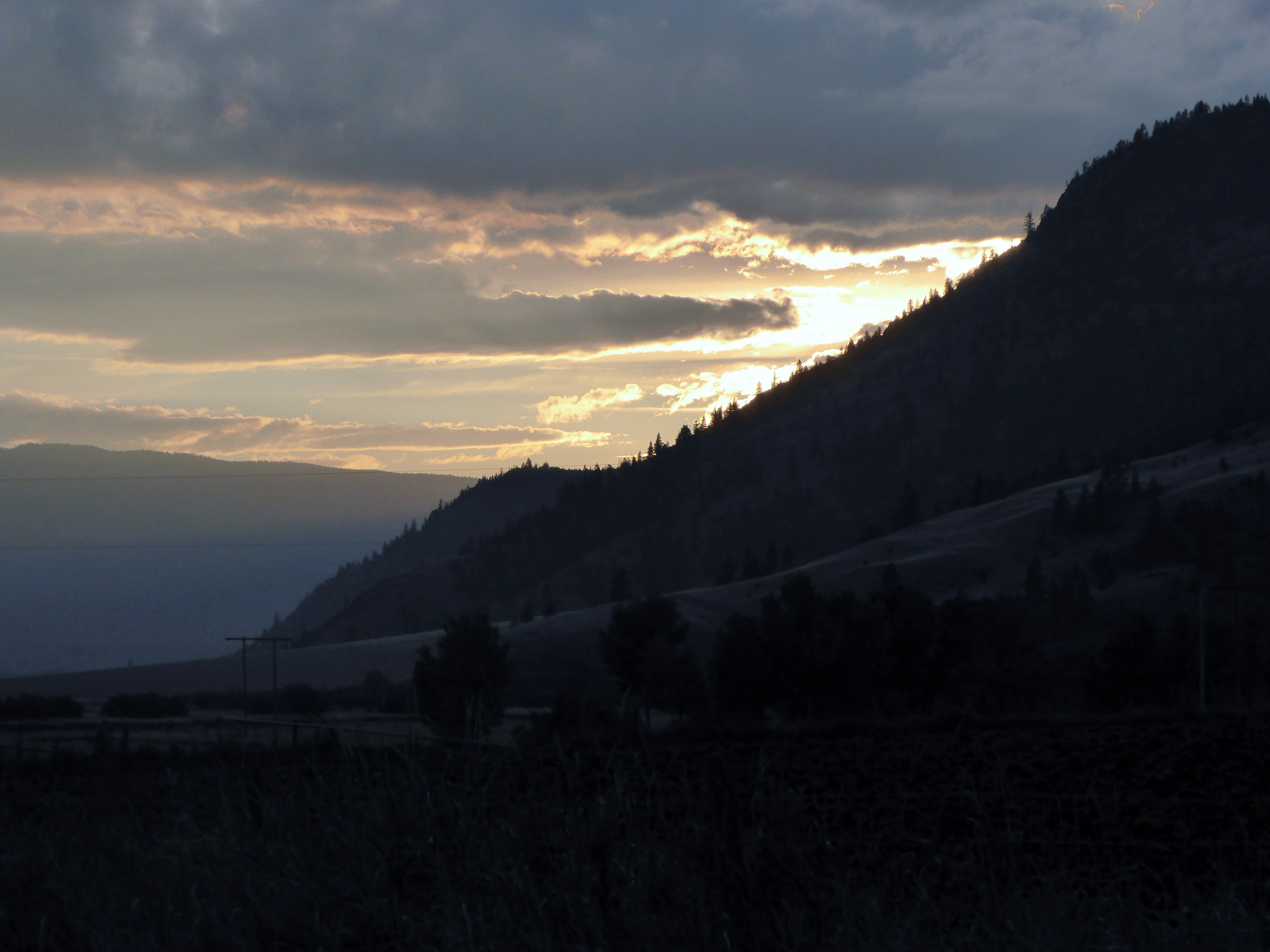
The Pillar
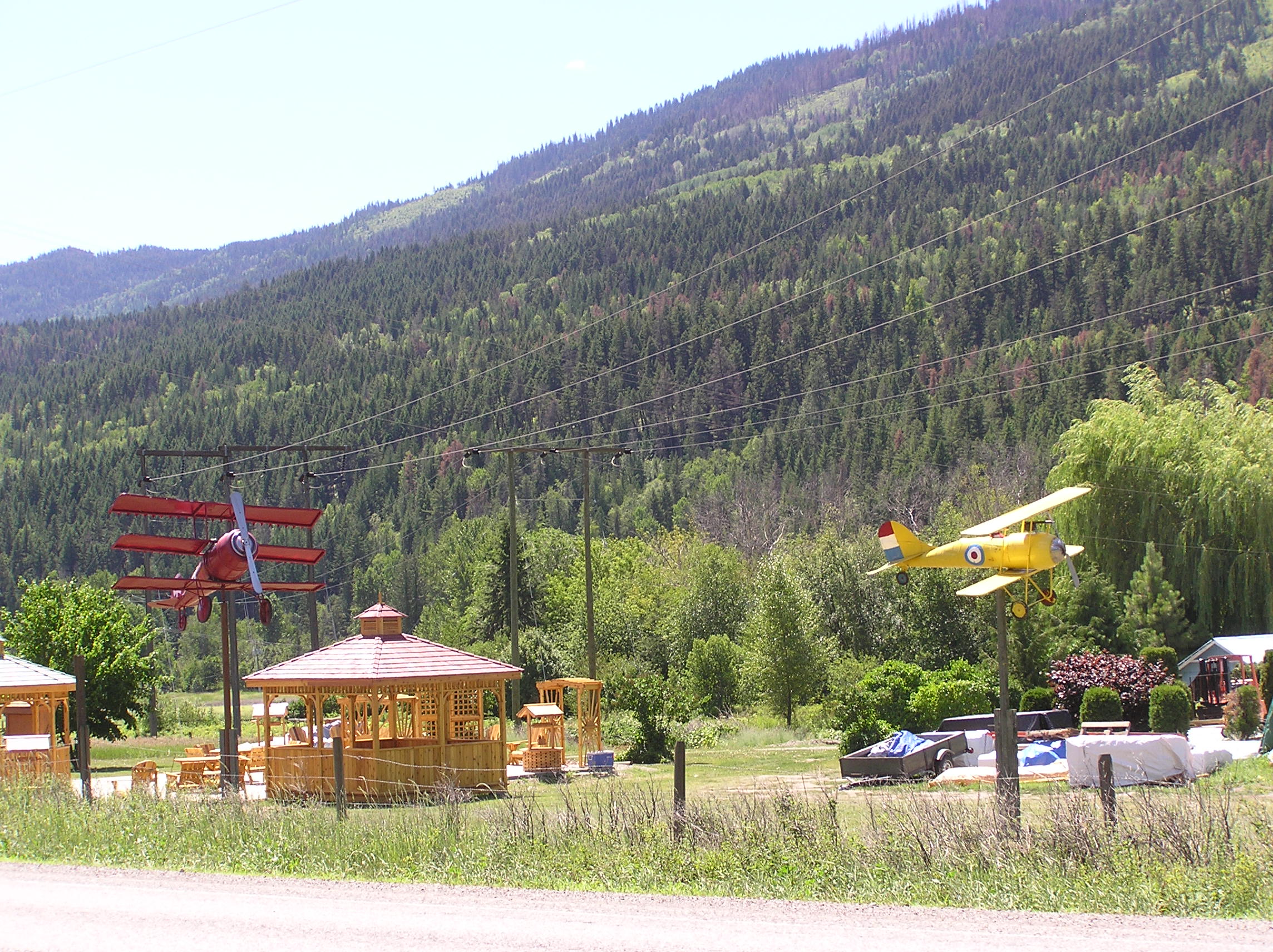
Road side attraction

Pinantan BC
P1010516 (2)

Train Trestle
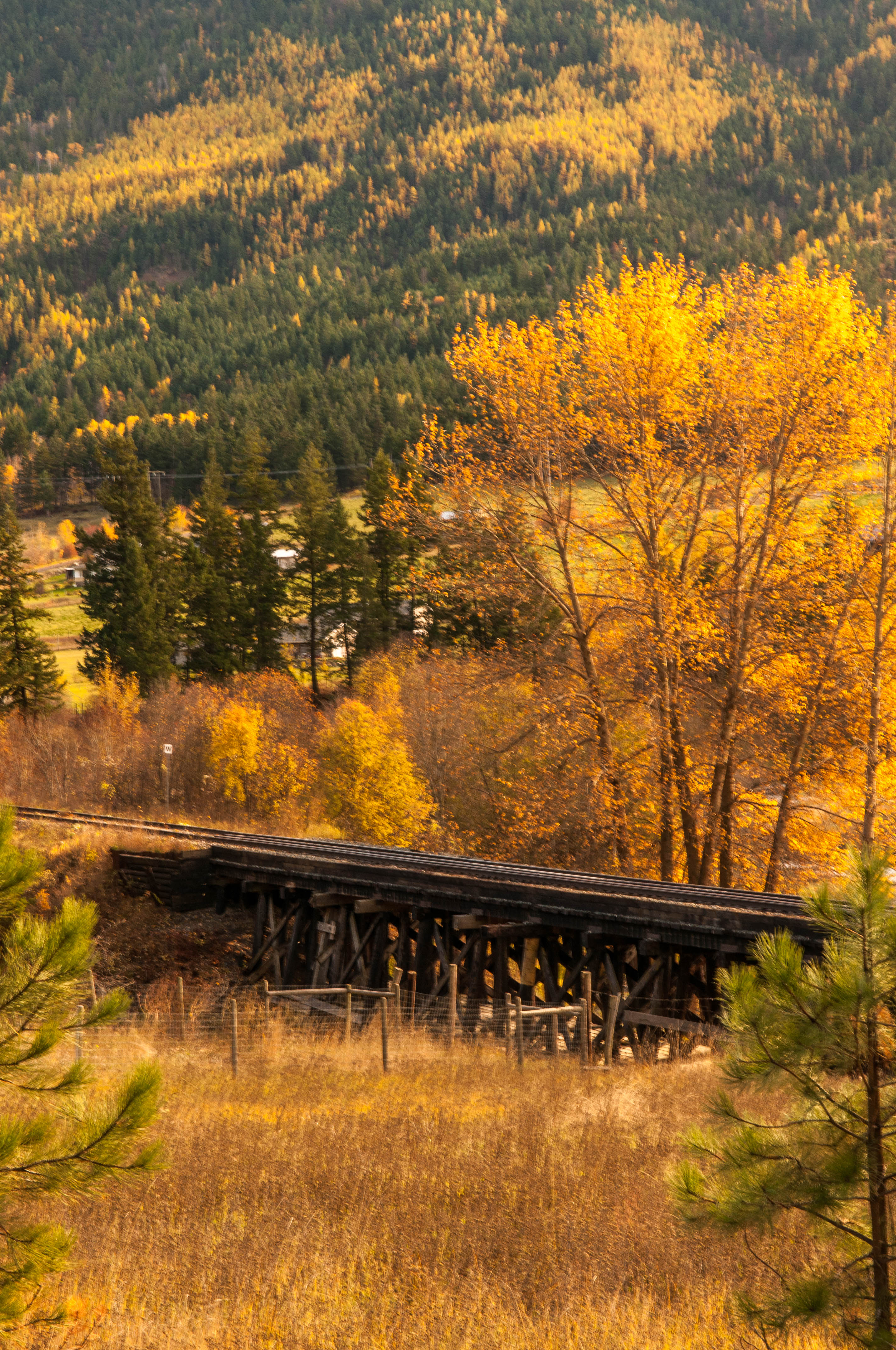
Train Trestle
Topographic Map of Falkland, BC V0E, Canada
Find elevation by address:

Places near Falkland, BC V0E, Canada:
5488 Lynes Rd
Westwold
6825 Paxton Valley Rd
Monte Lake
Thompson-nicola L
Central Okanagan G
Central Okanagan
Rose Valley Road
West Kelowna Road
1579 Blackwood Dr
1759 Diamond View Drive
855 Keloka Way
921 Pinewood Pl
1900 Diamond View Drive
1924 Horizon Dr
850 Horizon Ct
1989 Spyglass Way
2170 Sunview Dr
930 Westview Way
5880 Campbell Creek Rd
Recent Searches:
- Elevation of Corso Fratelli Cairoli, 35, Macerata MC, Italy
- Elevation of Tallevast Rd, Sarasota, FL, USA
- Elevation of 4th St E, Sonoma, CA, USA
- Elevation of Black Hollow Rd, Pennsdale, PA, USA
- Elevation of Oakland Ave, Williamsport, PA, USA
- Elevation of Pedrógão Grande, Portugal
- Elevation of Klee Dr, Martinsburg, WV, USA
- Elevation of Via Roma, Pieranica CR, Italy
- Elevation of Tavkvetili Mountain, Georgia
- Elevation of Hartfords Bluff Cir, Mt Pleasant, SC, USA