Elevation of Fairway Dr, Kingsland, GA, USA
Location: United States > Georgia > Camden County > Kingsland >
Longitude: -81.615904
Latitude: 30.815554
Elevation: 6m / 20feet
Barometric Pressure: 0KPa
Related Photos:

Crossing Into Florida II

step into the light

Augusts Showers

Two Generations Of Steel
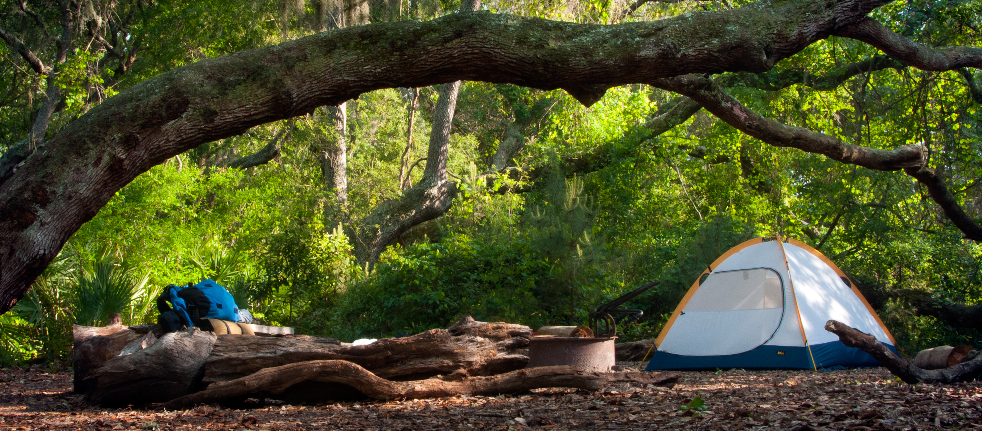
cat's meow campsite

the last to know

SWFLANT_Glow_IMG_8912 View full screen.

DON'T FORGET THE SOUVENIRS
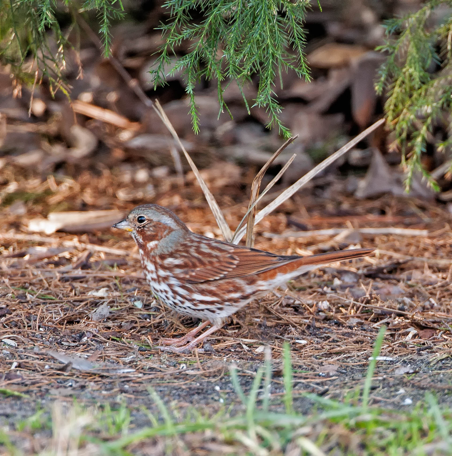
Fox Sparrow (Red)
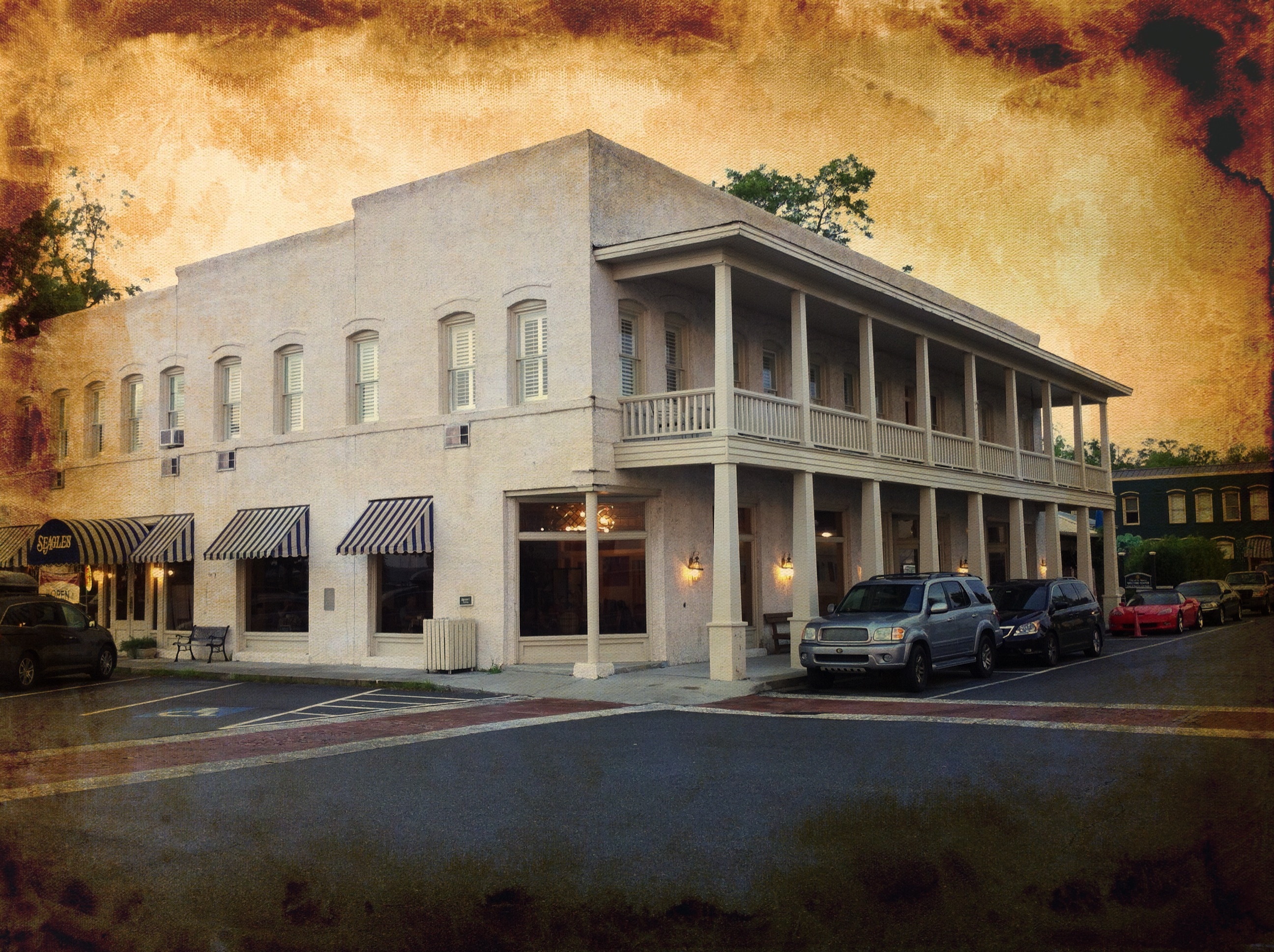
River View Hotel
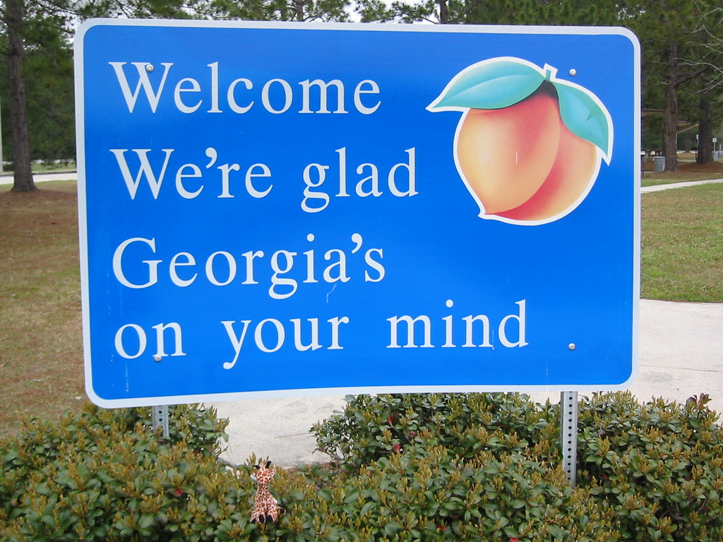
We're Glad Georgia's On Your Mind

Claude-Marie Ferrier - Cottage, Hameau de la Reine, Versailes, 1852-54

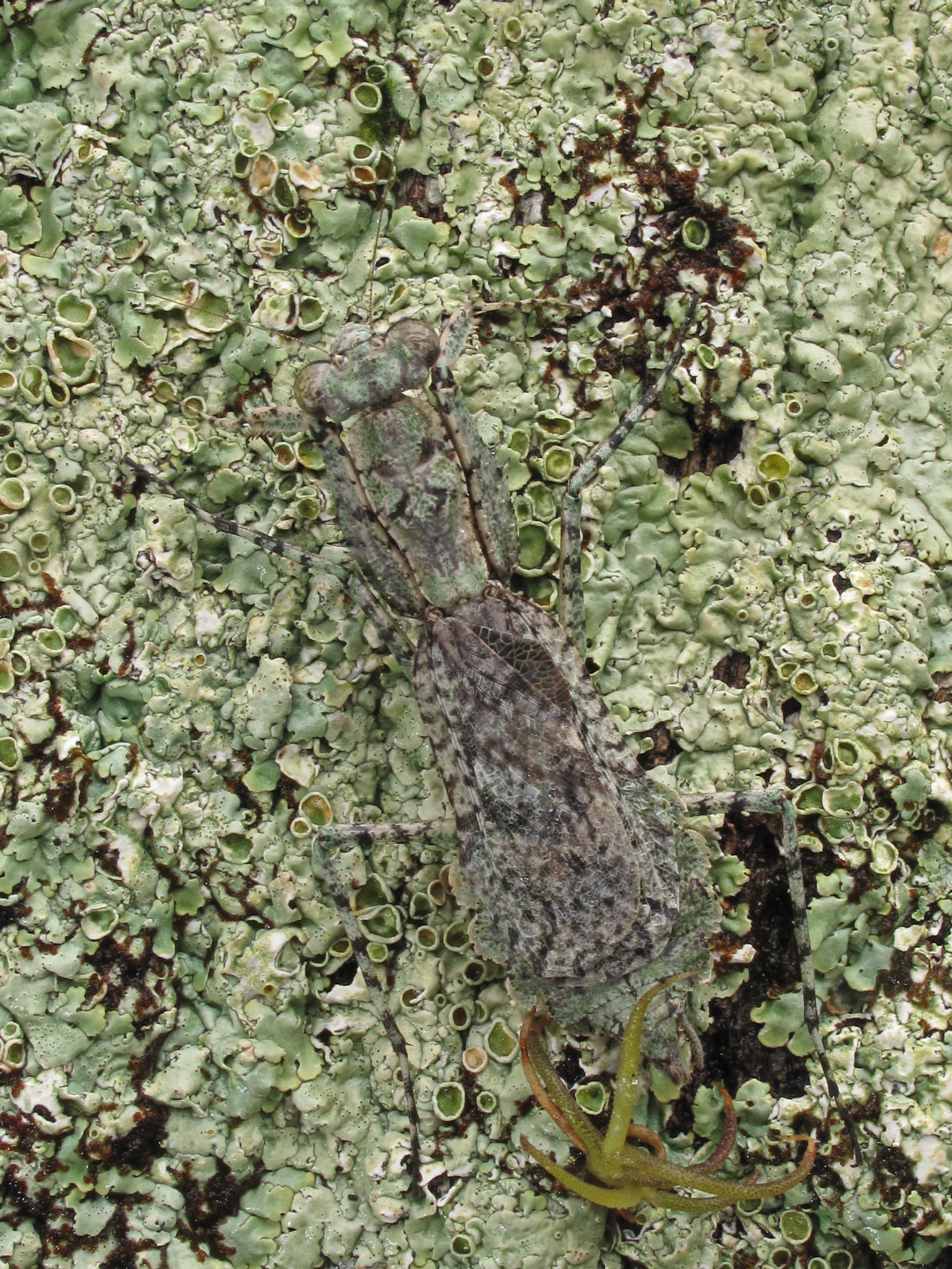
Gonatista grisea (female), Plum Orchard, Cumberland Island National Seashore, Camden County, Georgia 2
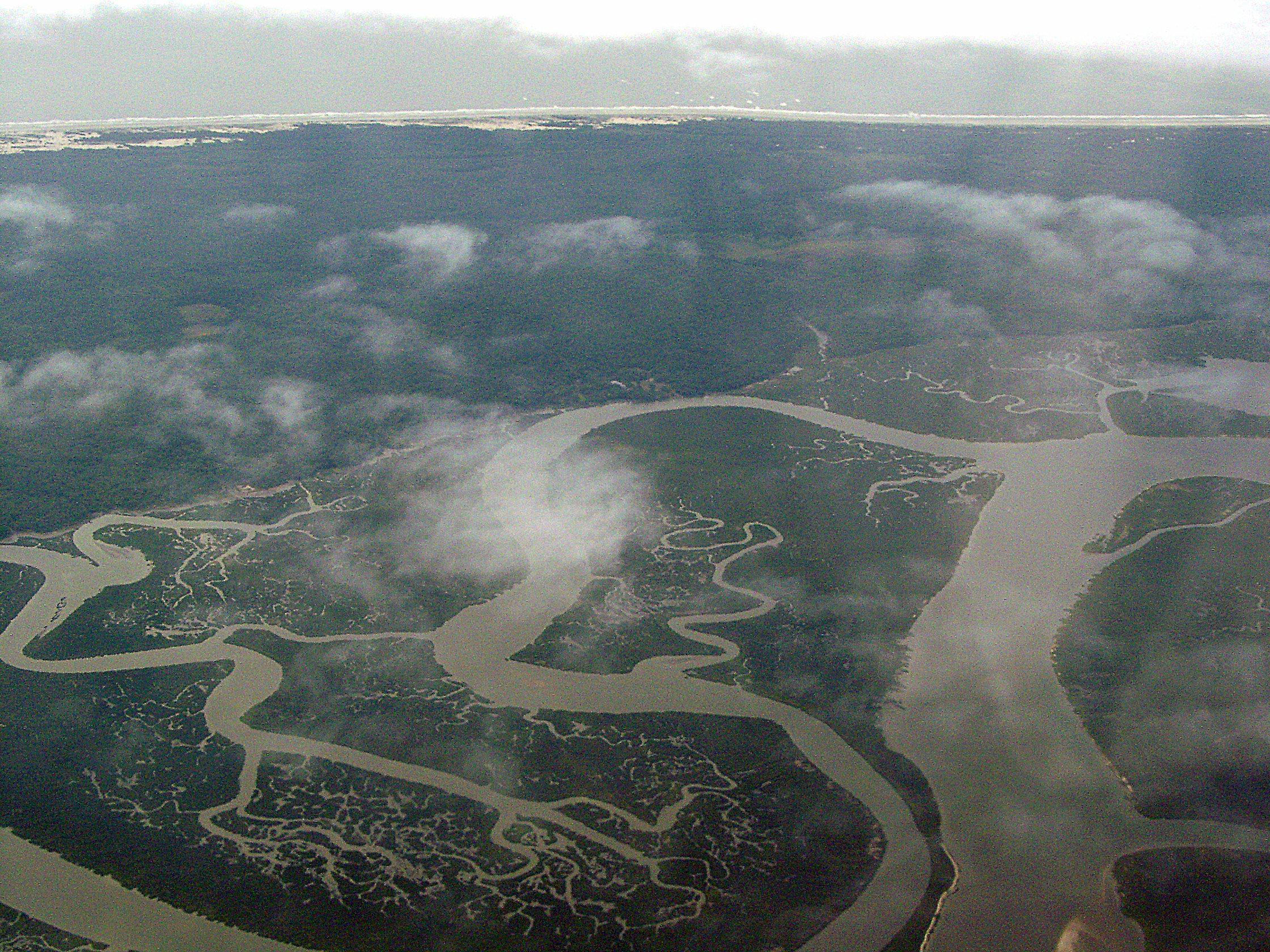
Cumberland River, Brickhill River, and Cumberland Island, Georgia
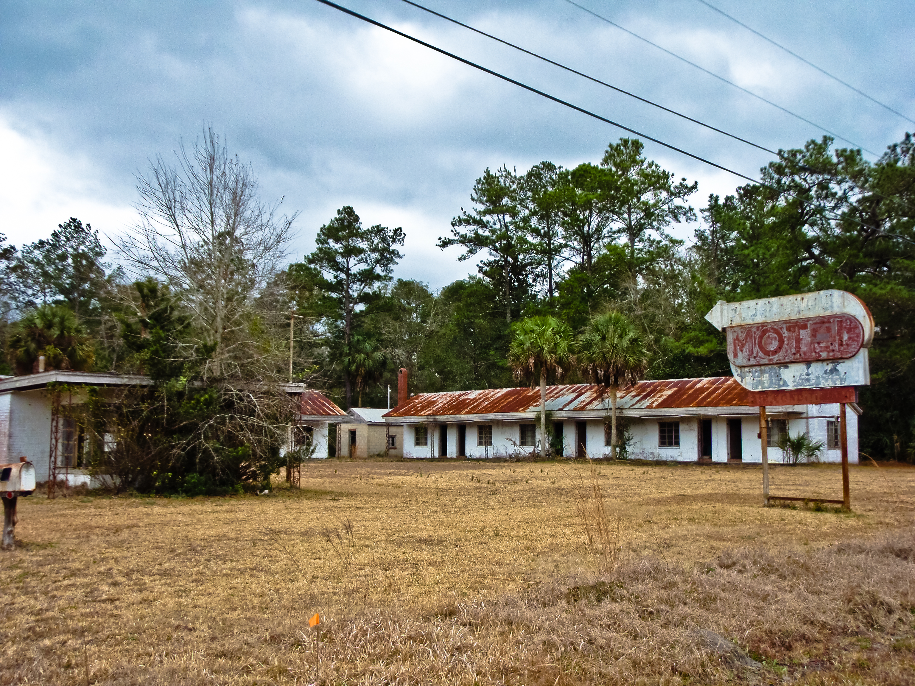
BORDER MOTEL
Deeper than Any Forest Primeval...
Gonatista grisea (female), Plum Orchard, Cumberland Island National Seashore, Camden County, Georgia 1

Day 1, Cumberland Island

Day 1, Cumberland Island
Day 1, Cumberland Island
Day 1, Cumberland Island

Last northbound run across the Marshes

Reflection IMG_0903_HDR

A Good Sunday

Morning Calm_IMG_7410

Lines IMG_0994

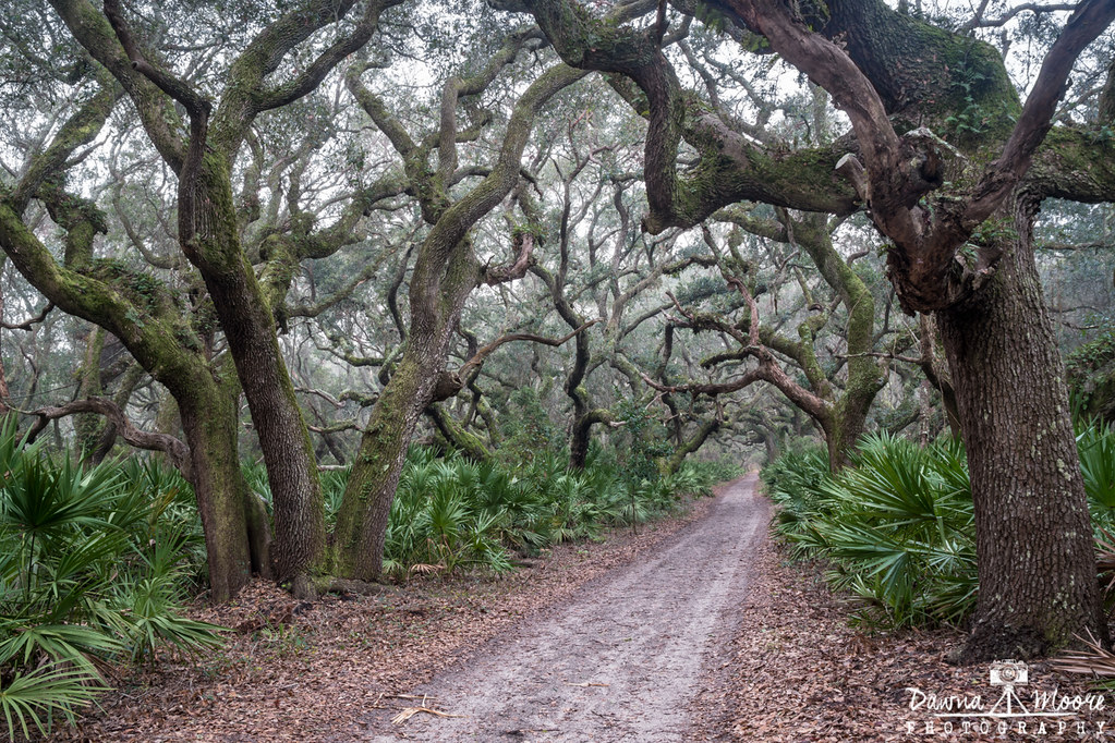
Forest Path

Sunrise on the River_IMG_0173

Road to Dungeness, Cumberland Island, Georgia

Tree of Life
St Mary's Steam Express

Wide open road

Like a Dream
Cumberland Sunset, Cumberland Island, Georgia

Face to Face
Cumberland Island Maritime Forest, Cumberland Island, Georgia

Marsh at High Tide_IMG_0979

Sea Camp Beach

Crooked River State Park 16

Crooked River Before Sunrise_IMG_8562

Calm Morning IMG_8588
Topographic Map of Fairway Dr, Kingsland, GA, USA
Find elevation by address:

Places near Fairway Dr, Kingsland, GA, USA:
110 Fairway Dr
Eagle Boulevard
104 Cove Way
126 Brookshire Ct
214 Miller Dr
210 Miller Dr
209 Laurel Landing Blvd
210 Laurel Landing Blvd
285 Laurel Landing Blvd
360 Laurel Landing Blvd
286 Laurel Landing Blvd
126 Somerset Dr
Somerset Drive
422 Brooklet Cir
208 Serpentine Dr
208 Serpentine Dr
Cason Noah Drive
321 Daniel Trent Way
Riley Hunter Dr, Kingsland, GA, USA
113 Hydrangea Rd
Recent Searches:
- Elevation map of Greenland, Greenland
- Elevation of Sullivan Hill, New York, New York, 10002, USA
- Elevation of Morehead Road, Withrow Downs, Charlotte, Mecklenburg County, North Carolina, 28262, USA
- Elevation of 2800, Morehead Road, Withrow Downs, Charlotte, Mecklenburg County, North Carolina, 28262, USA
- Elevation of Yangbi Yi Autonomous County, Yunnan, China
- Elevation of Pingpo, Yangbi Yi Autonomous County, Yunnan, China
- Elevation of Mount Malong, Pingpo, Yangbi Yi Autonomous County, Yunnan, China
- Elevation map of Yongping County, Yunnan, China
- Elevation of North 8th Street, Palatka, Putnam County, Florida, 32177, USA
- Elevation of 107, Big Apple Road, East Palatka, Putnam County, Florida, 32131, USA
- Elevation of Jiezi, Chongzhou City, Sichuan, China
- Elevation of Chongzhou City, Sichuan, China
- Elevation of Huaiyuan, Chongzhou City, Sichuan, China
- Elevation of Qingxia, Chengdu, Sichuan, China
- Elevation of Corso Fratelli Cairoli, 35, Macerata MC, Italy
- Elevation of Tallevast Rd, Sarasota, FL, USA
- Elevation of 4th St E, Sonoma, CA, USA
- Elevation of Black Hollow Rd, Pennsdale, PA, USA
- Elevation of Oakland Ave, Williamsport, PA, USA
- Elevation of Pedrógão Grande, Portugal