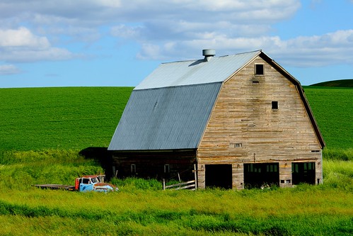
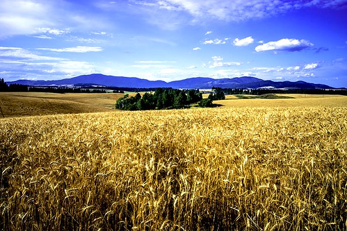
Elevation of Fairfield, WA, USA
Location: United States > Washington > Spokane County >
Longitude: -117.17157
Latitude: 47.3851752
Elevation: 787m / 2582feet
Barometric Pressure: 92KPa
Related Photos:
Topographic Map of Fairfield, WA, USA
Find elevation by address:

Places in Fairfield, WA, USA:
Places near Fairfield, WA, USA:
17313 E Morris Rd
E Prairie View Rd, Fairfield, WA, USA
E Valley Chapel Rd, Fairfield, WA, USA
Mica
W Setters Rd, Worley, ID, USA
10814 S Sands Rd
Lovell Valley Rd, Plummer, ID, USA
8012 S Jackson Rd
7404 S Jackson Rd
S Main St, Spangle, WA, USA
Spangle
West Jennings Road
6024 S Zuni Dr
14907 E Aurora Ln
5227 S Dishman Mica Rd
4816 S Low Way Ct
4816 S Low Way Ct
4816 S Low Way Ct
3711 Wa-27
3723 S Virginia Ln
Recent Searches:
- Elevation of Corso Fratelli Cairoli, 35, Macerata MC, Italy
- Elevation of Tallevast Rd, Sarasota, FL, USA
- Elevation of 4th St E, Sonoma, CA, USA
- Elevation of Black Hollow Rd, Pennsdale, PA, USA
- Elevation of Oakland Ave, Williamsport, PA, USA
- Elevation of Pedrógão Grande, Portugal
- Elevation of Klee Dr, Martinsburg, WV, USA
- Elevation of Via Roma, Pieranica CR, Italy
- Elevation of Tavkvetili Mountain, Georgia
- Elevation of Hartfords Bluff Cir, Mt Pleasant, SC, USA
