Elevation of Fairfield, NY, USA
Location: United States > New York > Herkimer County > Fairfield >
Longitude: -74.913209
Latitude: 43.1372919
Elevation: 386m / 1266feet
Barometric Pressure: 97KPa
Elevation Map:
Satellite Map:
Related Photos:

Little Falls - New York - Main Street -- View from City Hall

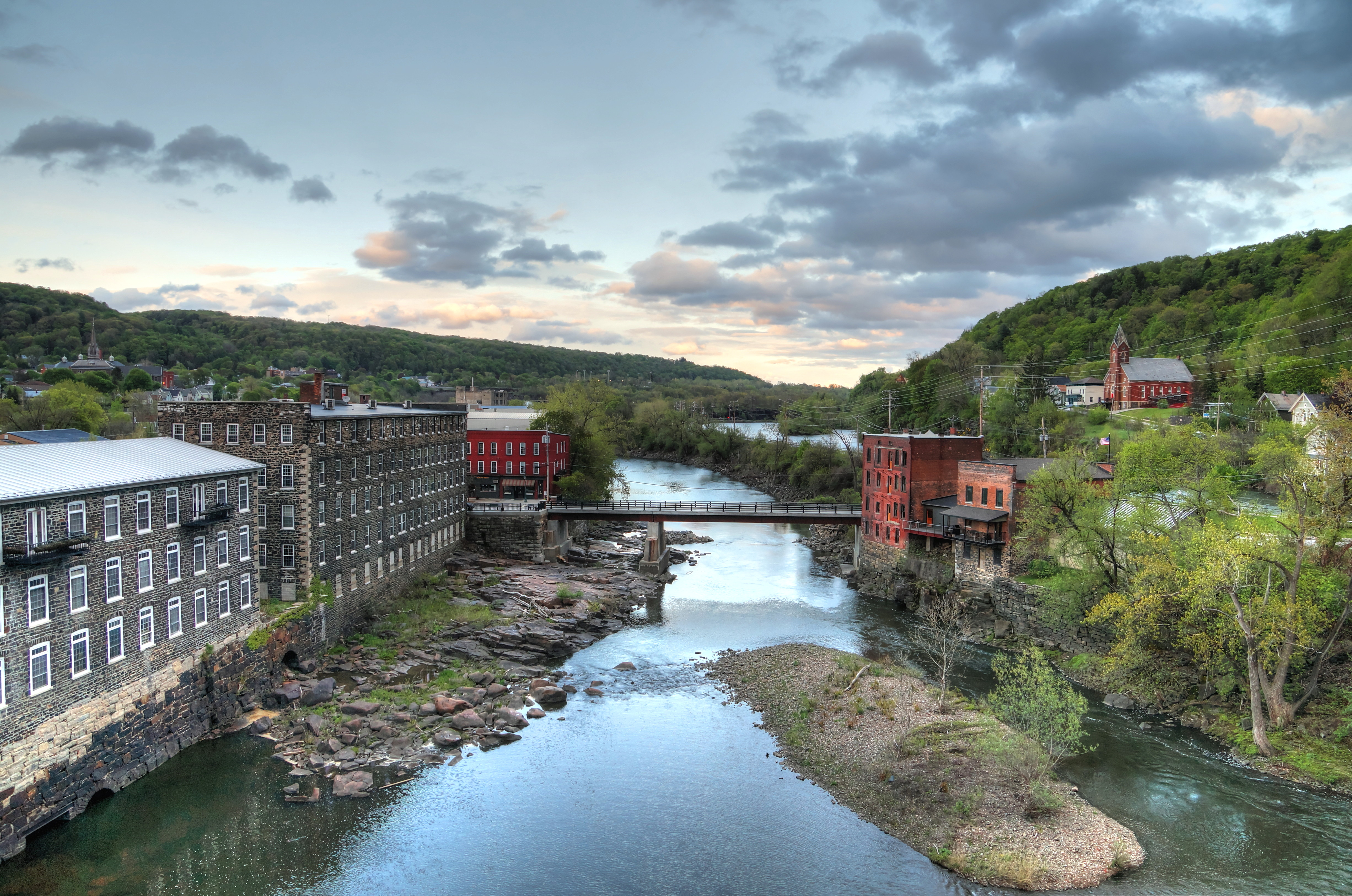
Canal Place

A view of some of the houses and The First Assembly of God Church on East Jefferson Street in Little Falls.

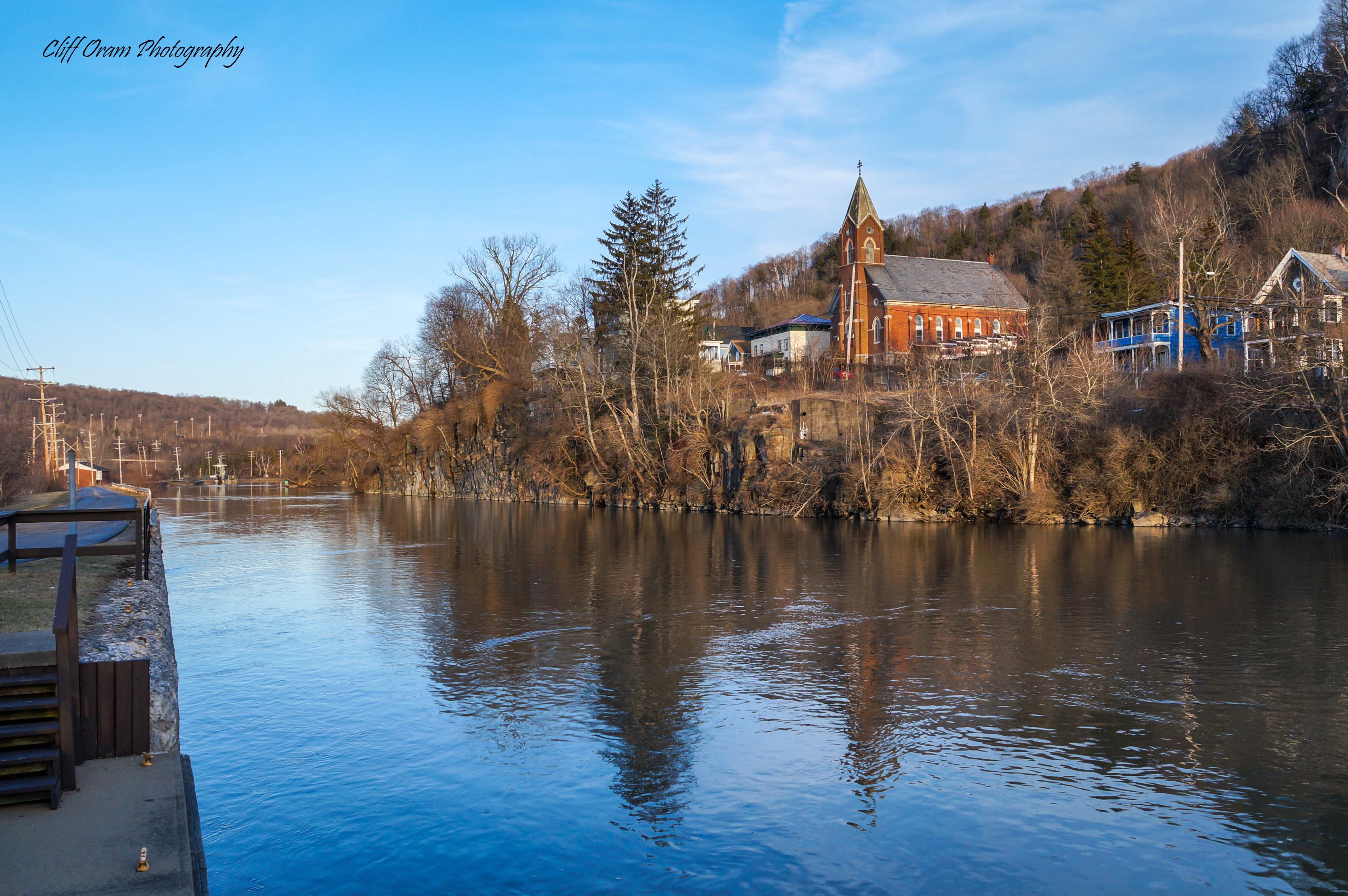
Mohawk River
A View East on The Erie Canal
A View Along The Mohawk

Out For A Walk

A View of Little Falls

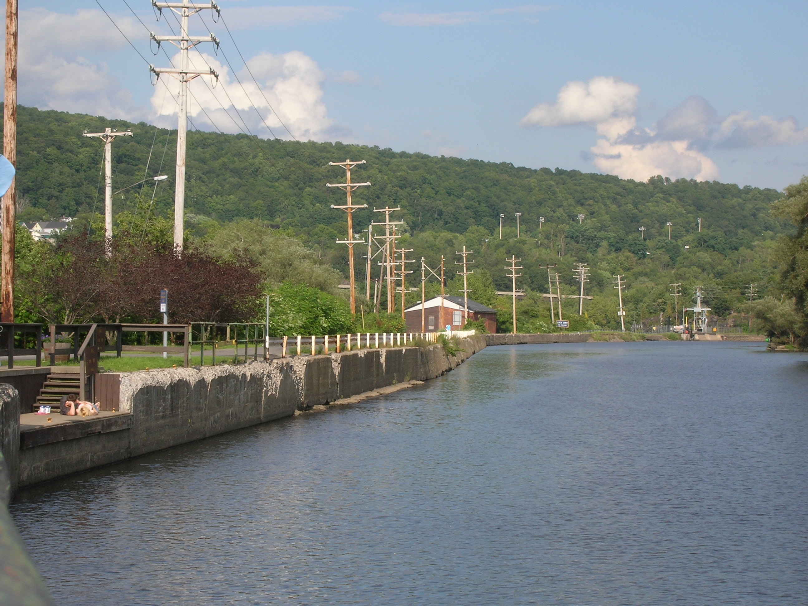
Little Falls Harbor

Dolgeville Mill
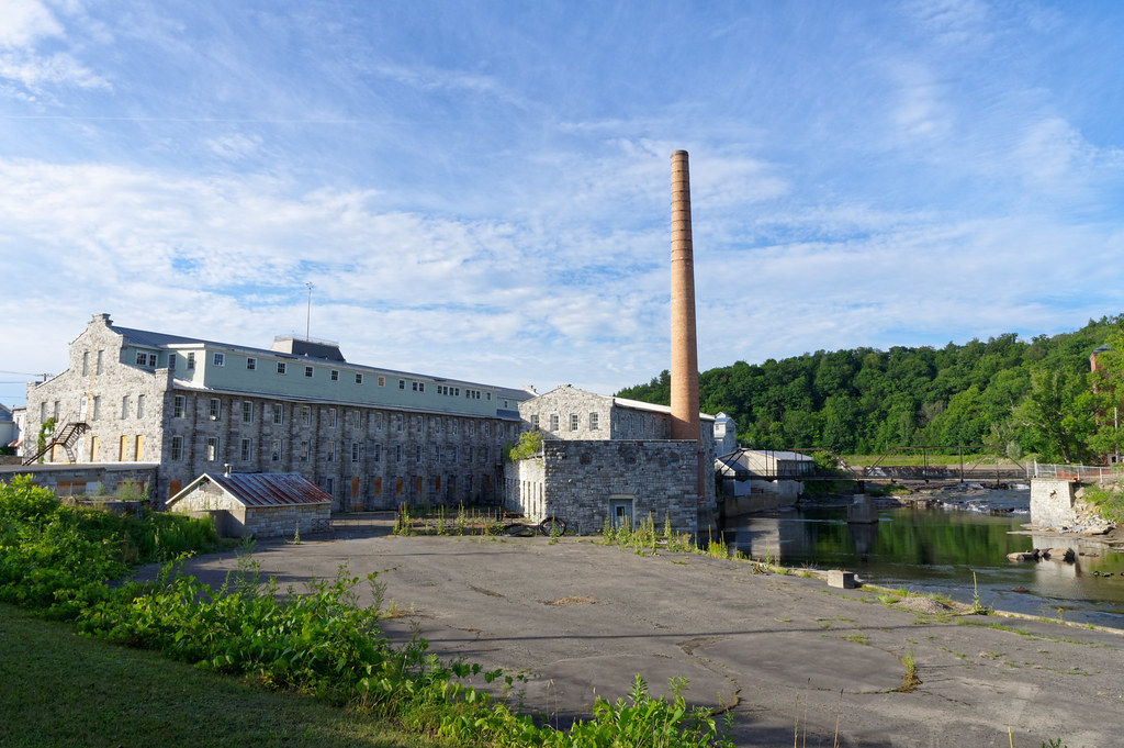
Dolgeville Mill

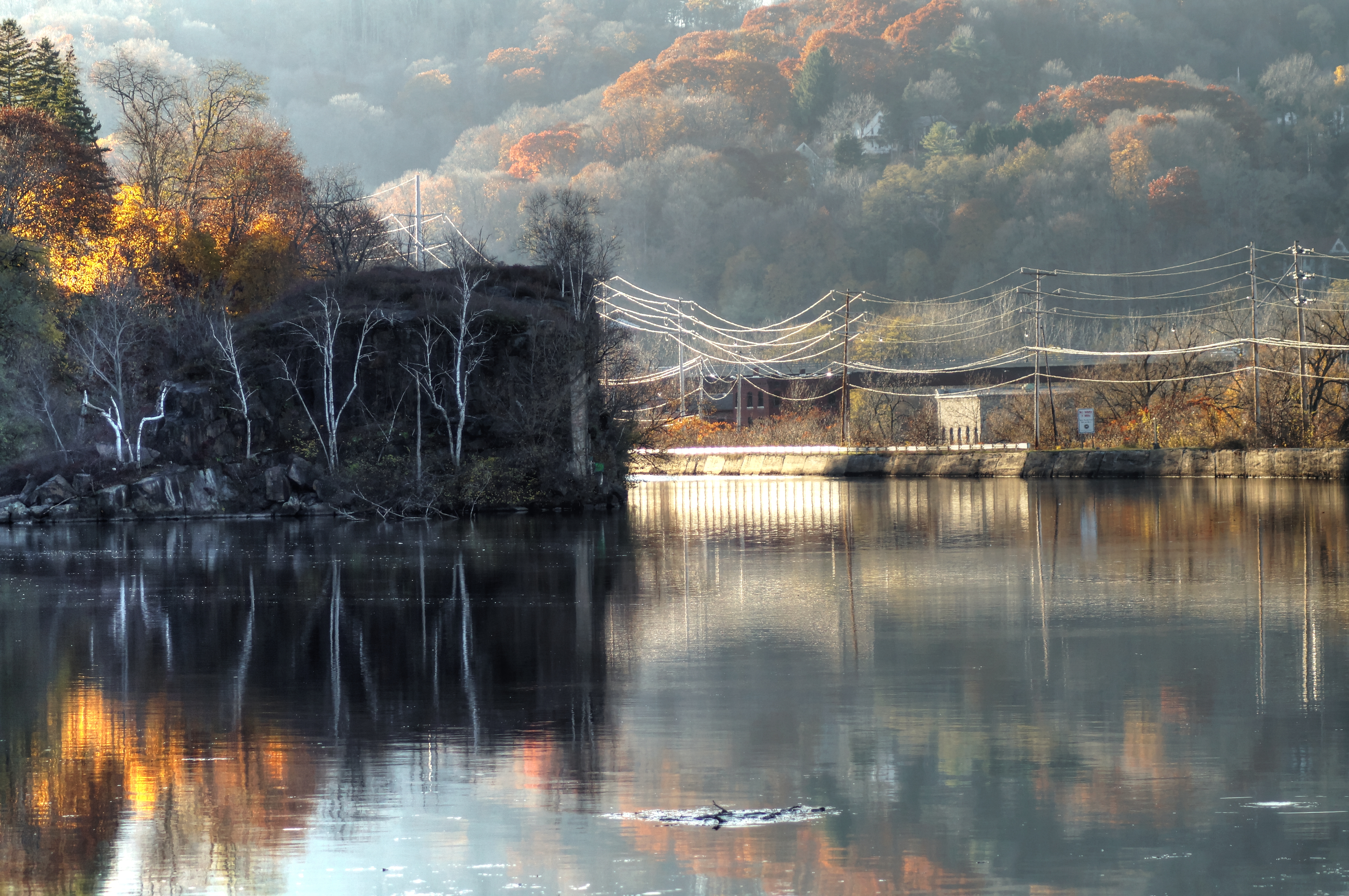
Mohawk River View

Gulf Curve Train Wreck, Memorial Plaque, Little Falls, NY
House on Green Street
Lock 38 - Little Falls

Old Erie Canal Lock 36 - Little Falls

Lock 41 - Plantation Island

Resnick's
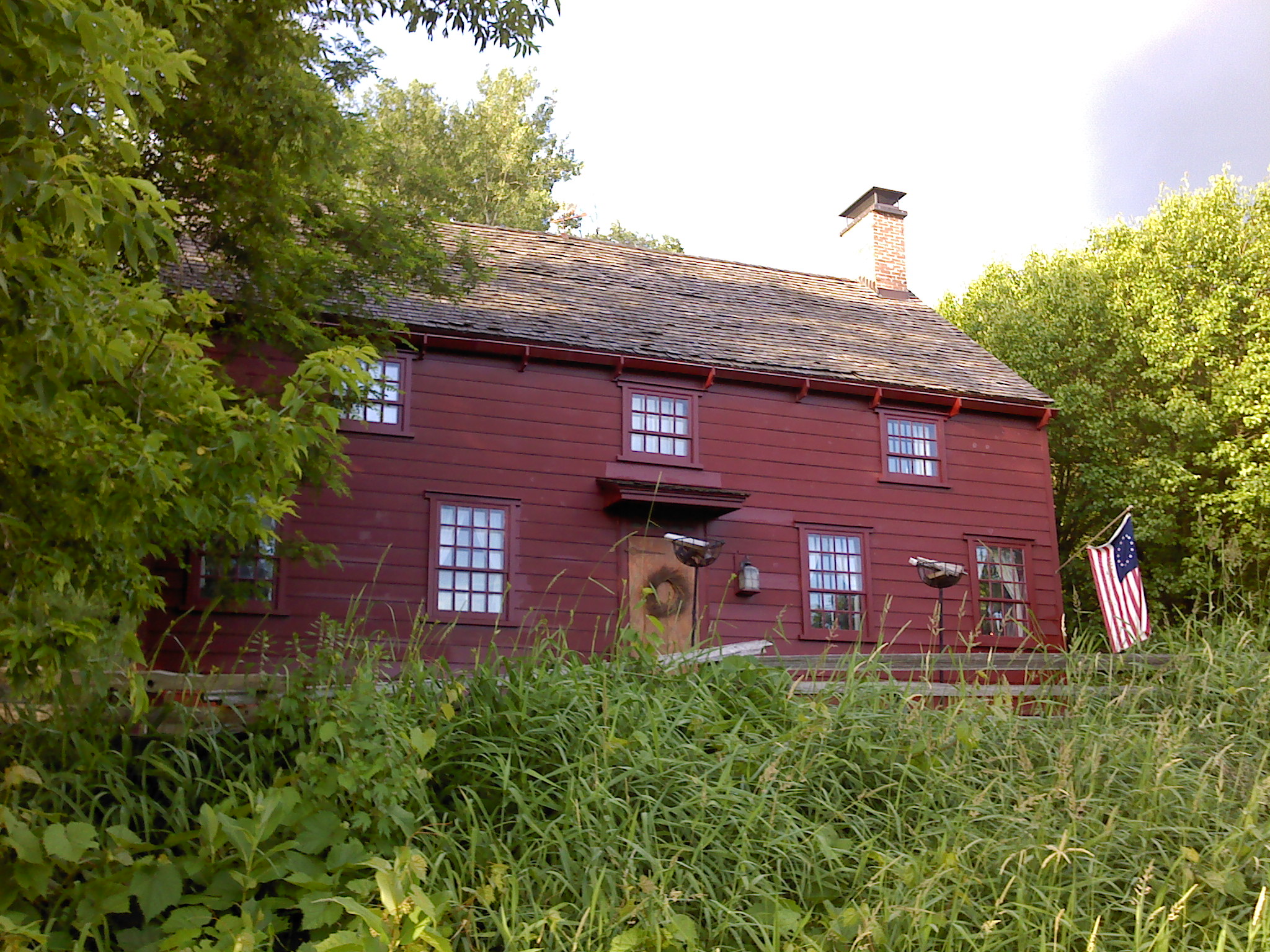
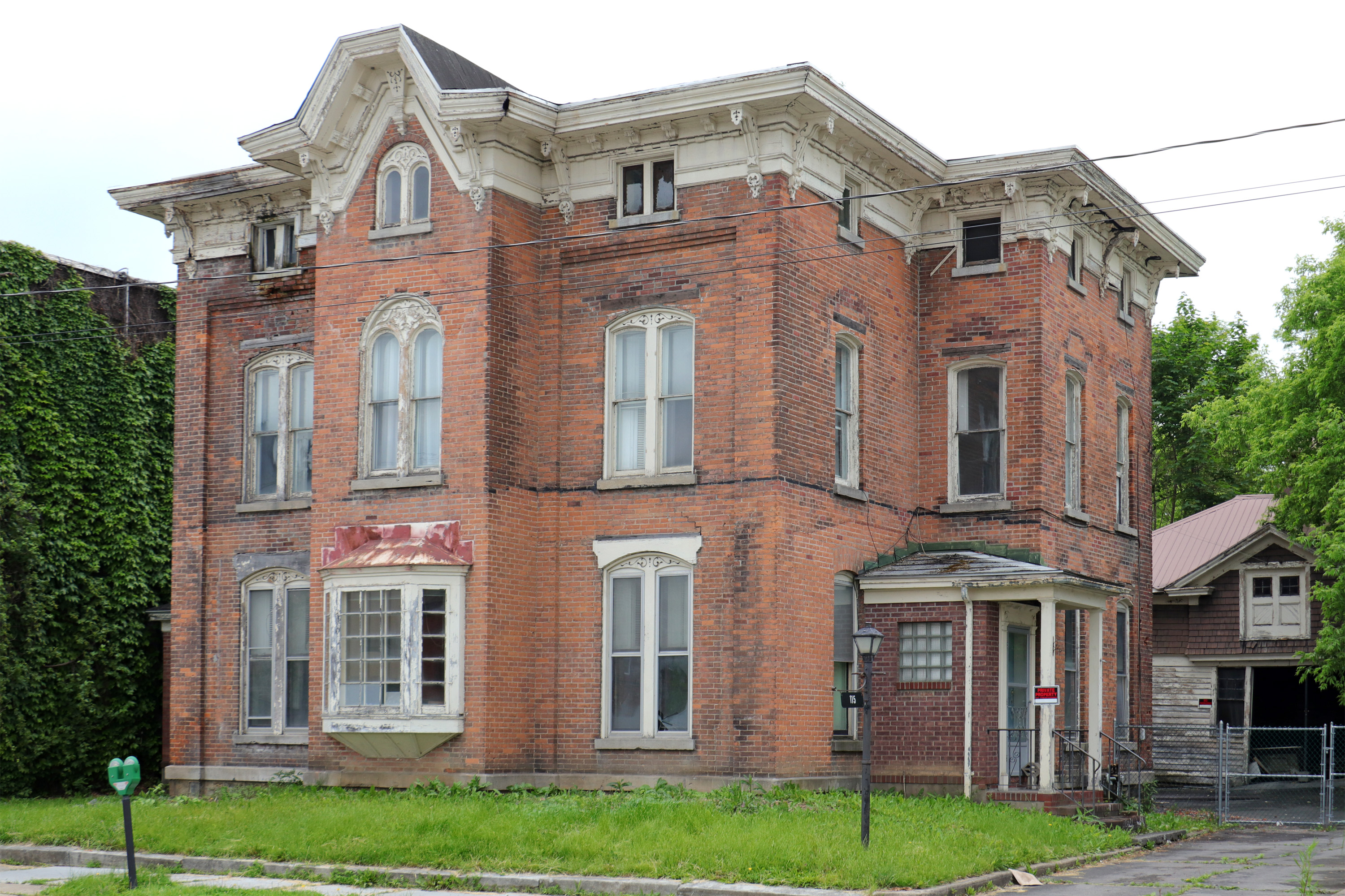
Wohleben House

Old Erie Canal lock No. 36/Barge Canal Lock No. 17 & West Shore Railroad
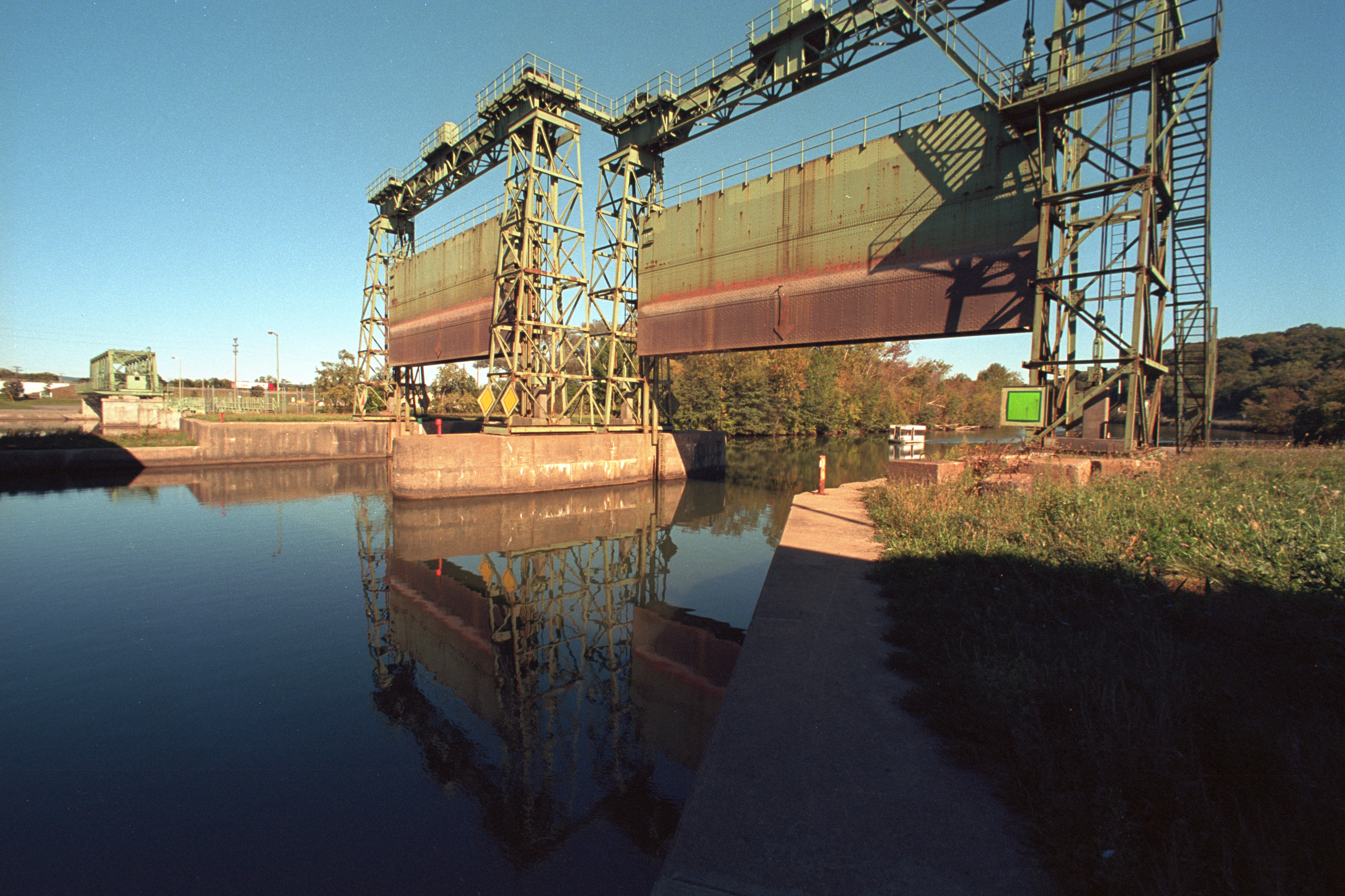
Erie Canal gates

Mohawk River ~ Erie Canal
Across The Erie canal

Sunset In The West

Gems Along The Mohawk on the Mohawk River

The Beauty Of The West Canada Creek
West Canada Creek

Bridge Over Spruce Creek

Faville Falls

A Peaceful River

Taking It All In

Lighting The Landscape

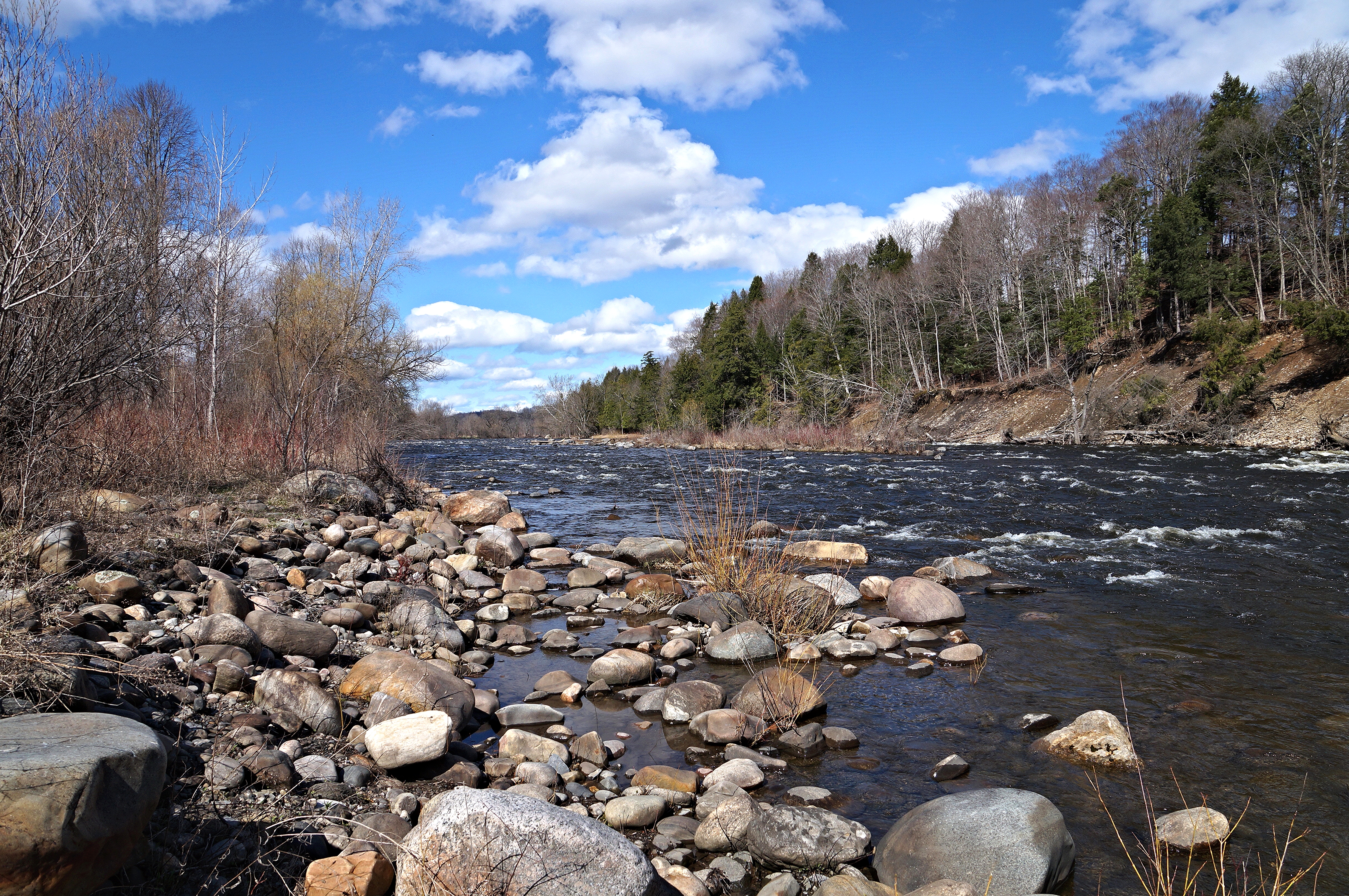
Spruce Creek Rapids

A Country Landscape

Spruce Creek Rapids

Smooth Flow

Winters Landscape
Topographic Map of Fairfield, NY, USA
Find elevation by address:

Places near Fairfield, NY, USA:
1323 Co Rd 142
Teall Road
Casler Road
Barto Hill
Fairfield
206 Reservoir Rd
Middleville
37 N Main St
357 Cole Rd
1772 Co Rd 36
1689 Co Rd 36
1755 Dairy Hill Rd
Voelkle Road
226 Black Creek Rd
Norway
374 Summit Rd
Norway
Snyder Fuel Service Inc
Newport
Newport
Recent Searches:
- Elevation of Corso Fratelli Cairoli, 35, Macerata MC, Italy
- Elevation of Tallevast Rd, Sarasota, FL, USA
- Elevation of 4th St E, Sonoma, CA, USA
- Elevation of Black Hollow Rd, Pennsdale, PA, USA
- Elevation of Oakland Ave, Williamsport, PA, USA
- Elevation of Pedrógão Grande, Portugal
- Elevation of Klee Dr, Martinsburg, WV, USA
- Elevation of Via Roma, Pieranica CR, Italy
- Elevation of Tavkvetili Mountain, Georgia
- Elevation of Hartfords Bluff Cir, Mt Pleasant, SC, USA