Elevation of Faceville, GA, USA
Location: United States > Georgia > Decatur County > Bainbridge >
Longitude: -84.639915
Latitude: 30.753247
Elevation: 93m / 305feet
Barometric Pressure: 100KPa
Elevation Map:
Satellite Map:
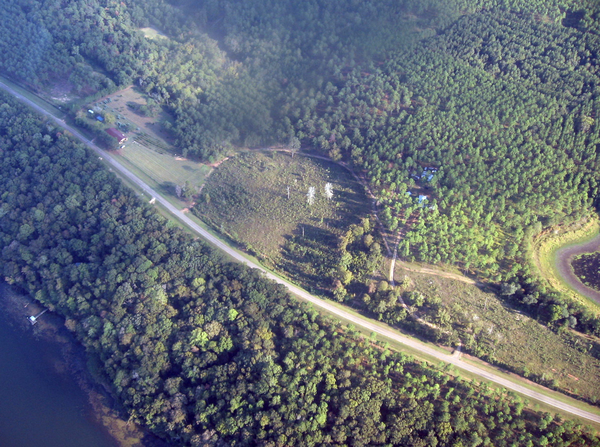
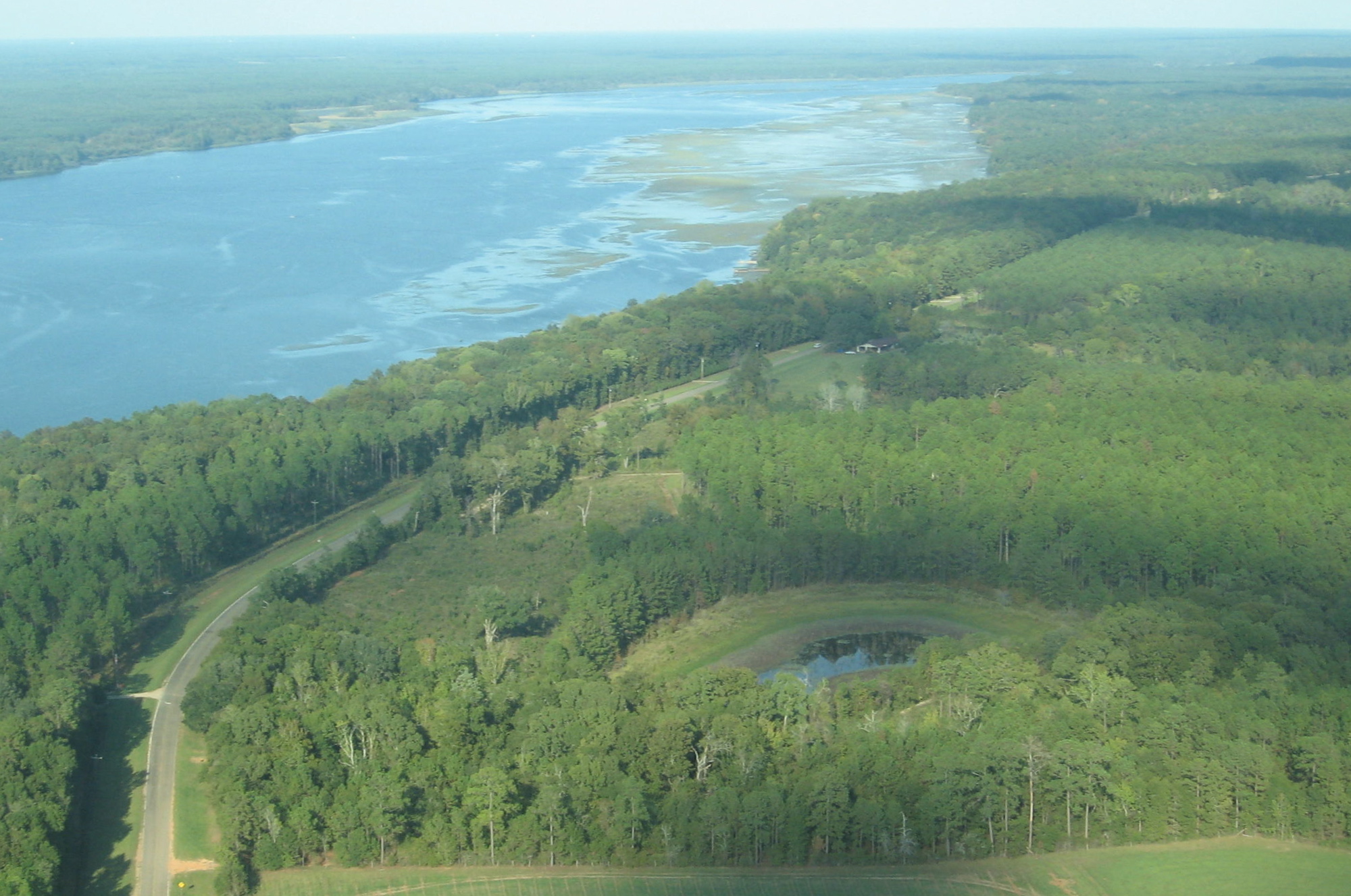
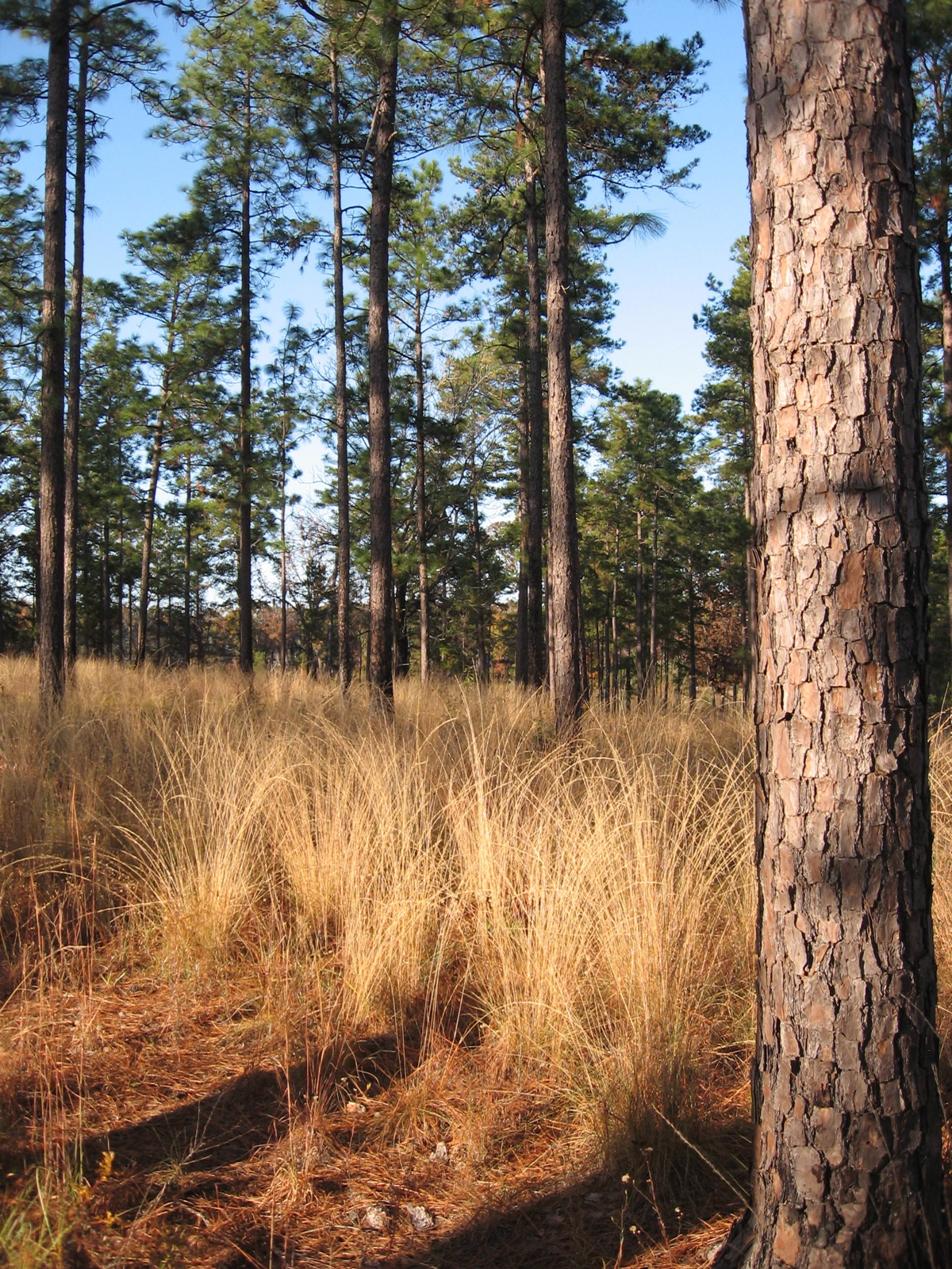
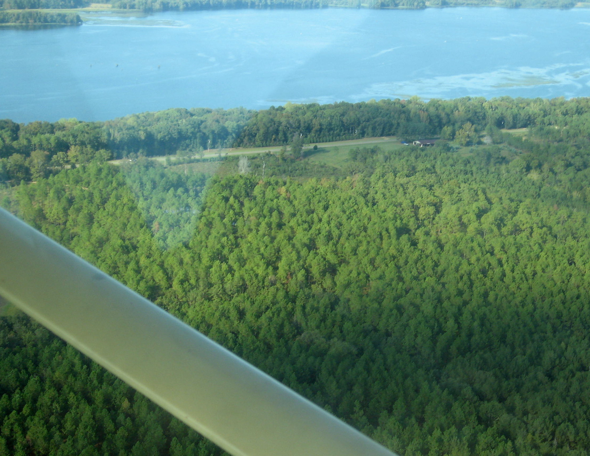
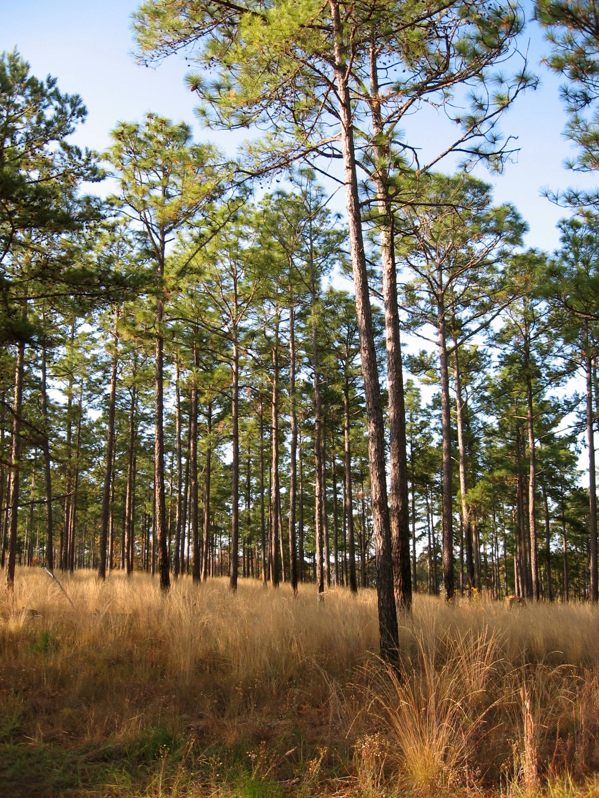
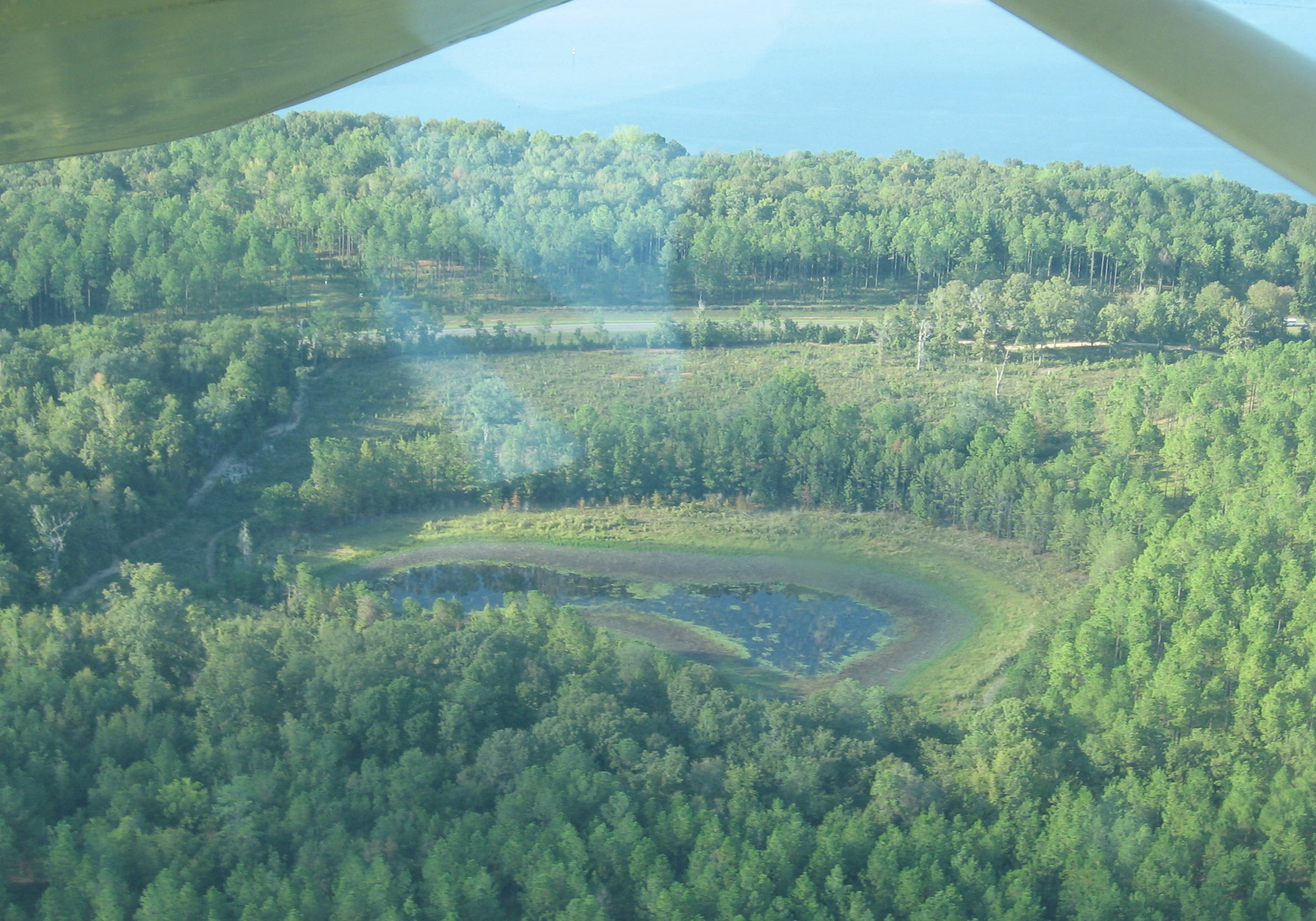
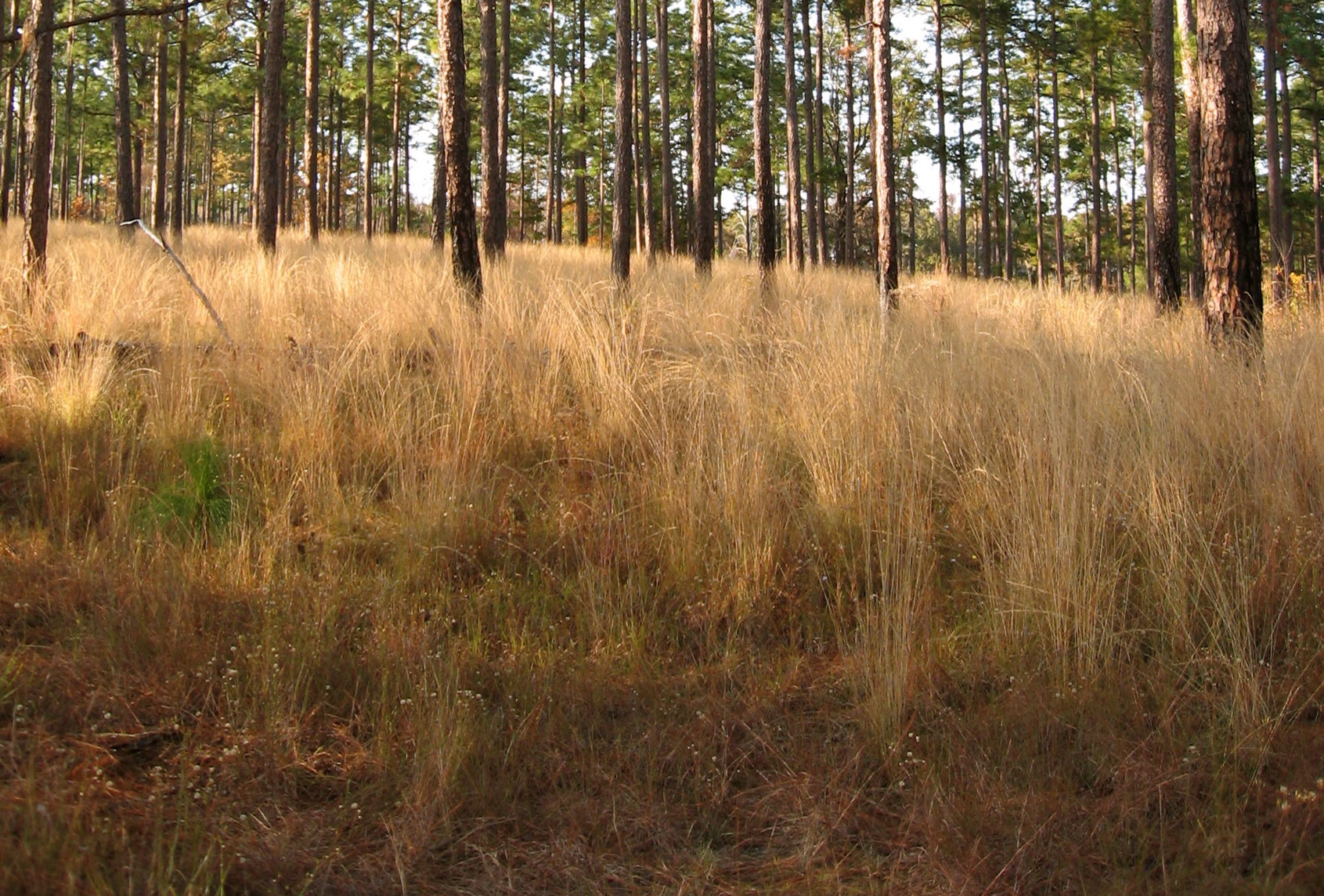
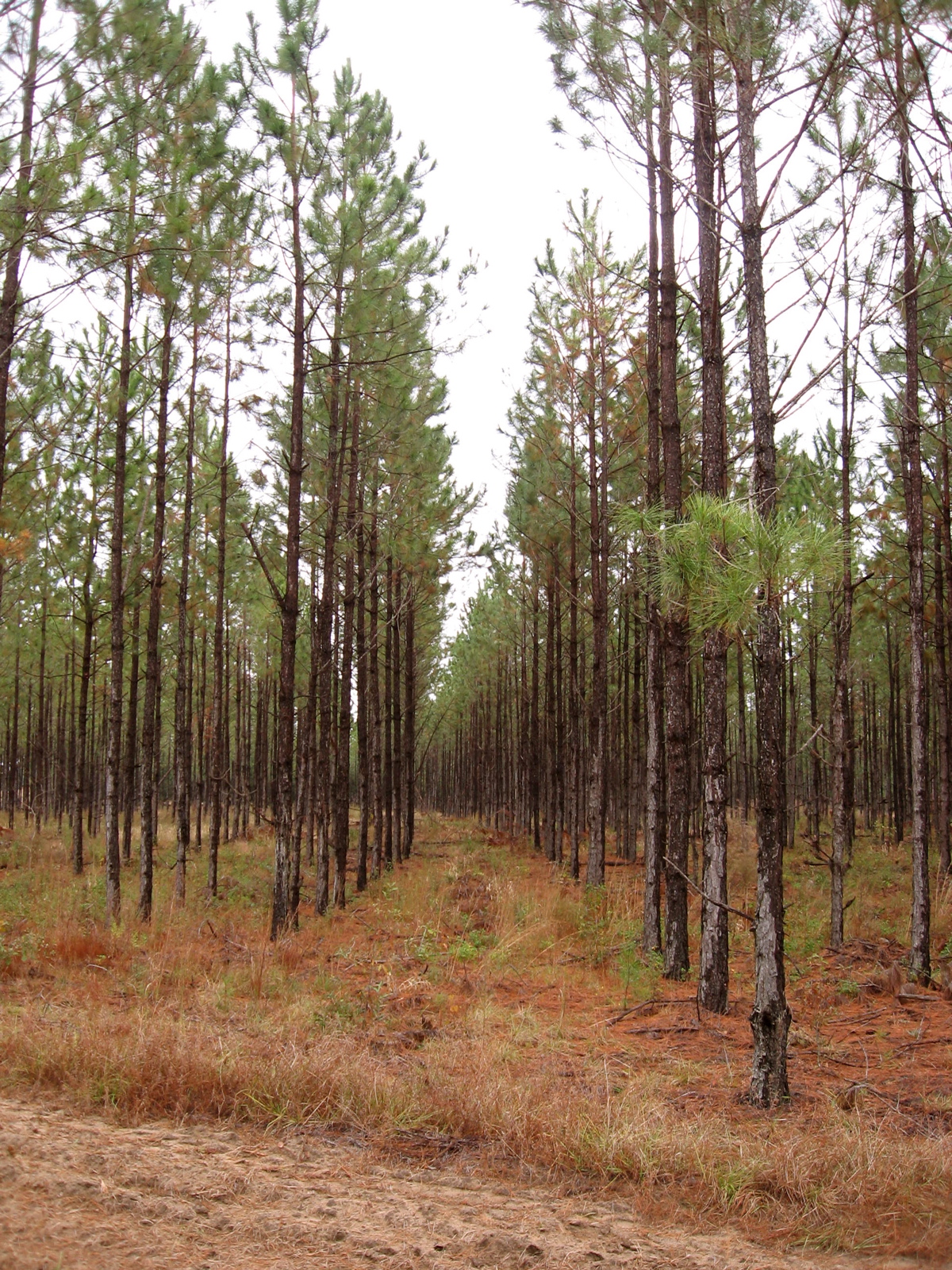
Related Photos:

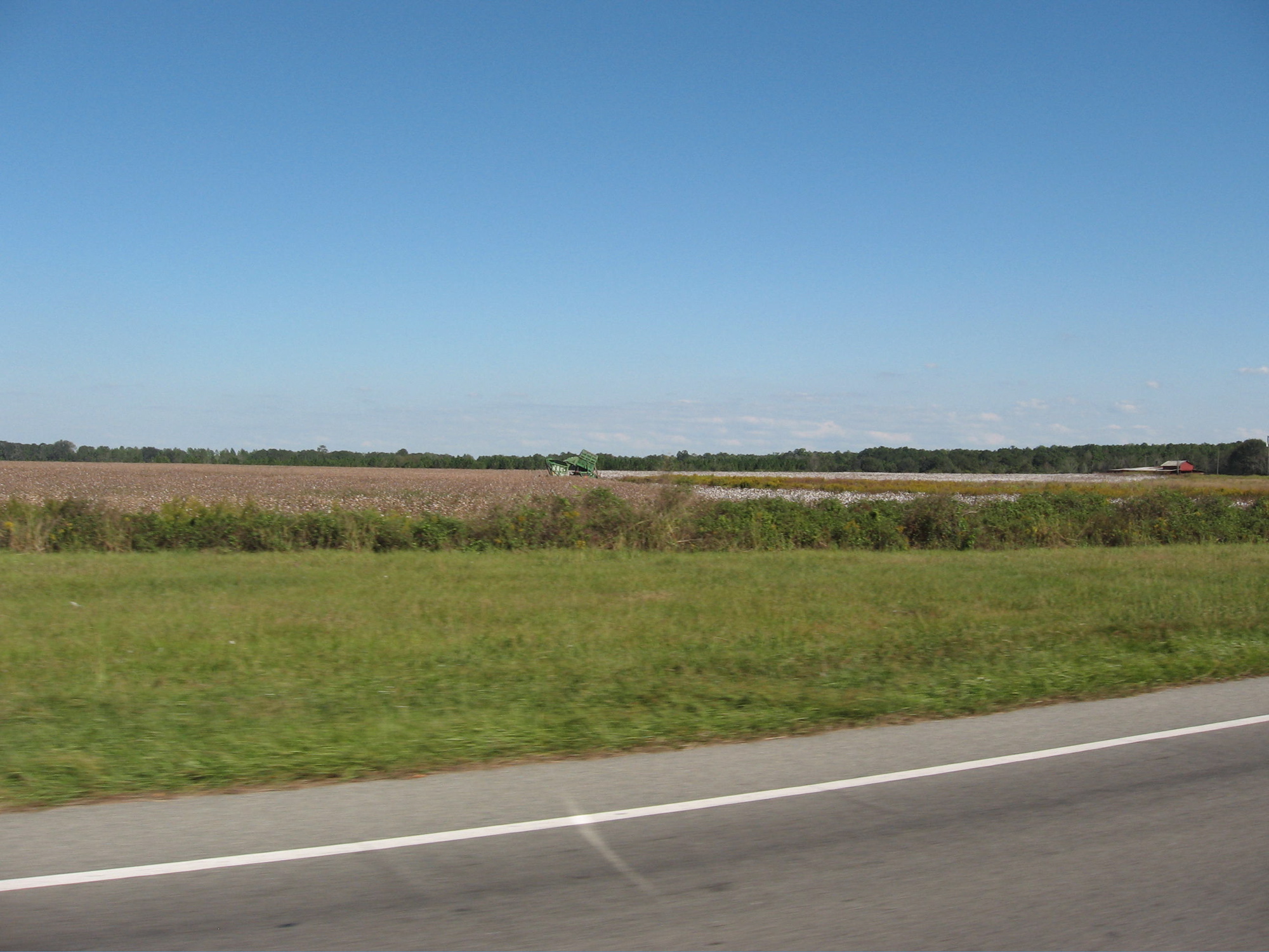
Duck Hunters
IMG_4389.JPG
IMG_4404.JPG

IMG_0981.jpg

Storms Coming
IMG_1190.JPG
IMG_4405.JPG
IMG_1187.JPG
IMG_4406.JPG
IMG_1188.JPG
IMG_1212.JPG
IMG_4503.JPG
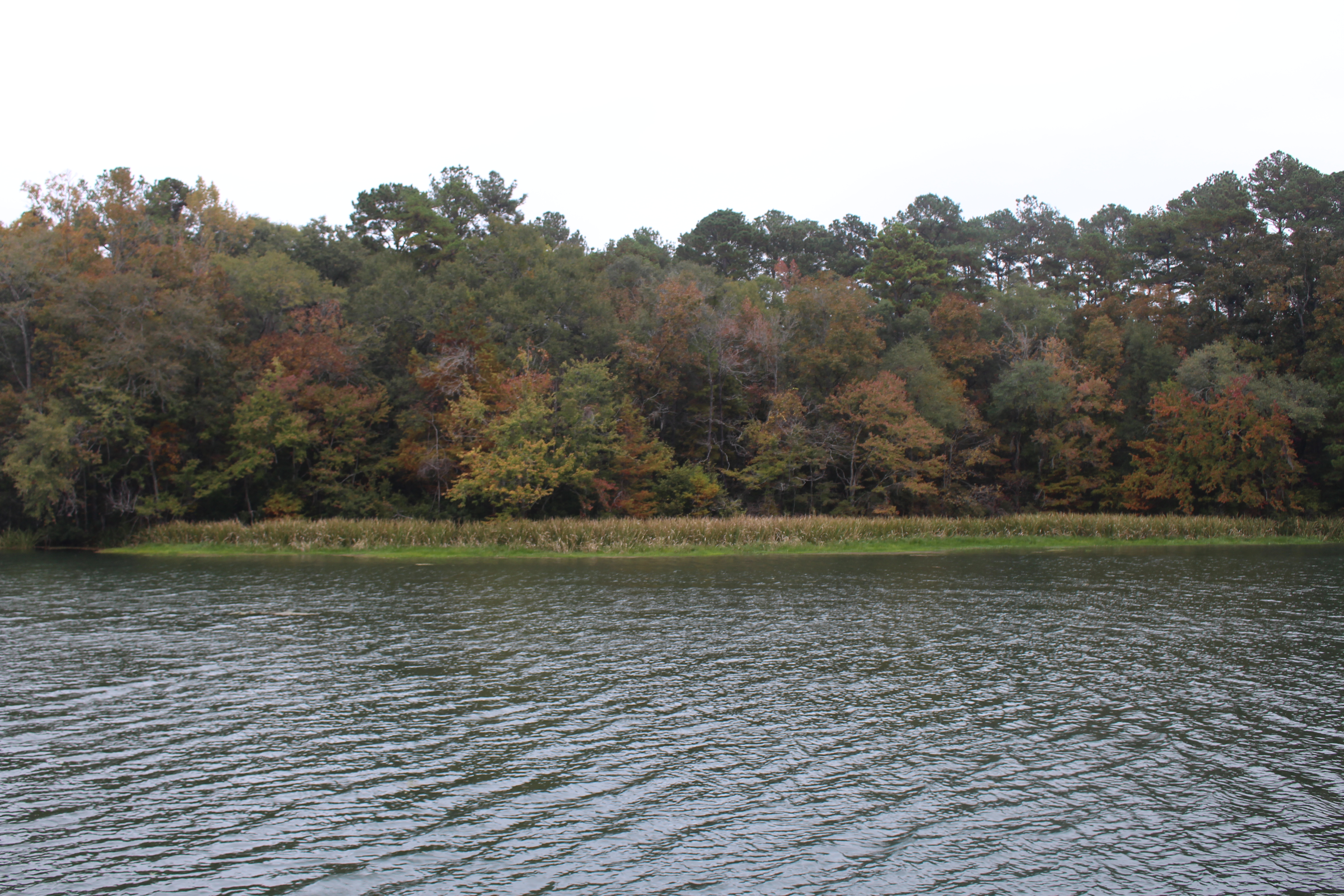
Faceville Landing Park, Lake Seminole c
Topographic Map of Faceville, GA, USA
Find elevation by address:

Places near Faceville, GA, USA:
Faceville Hwy, Bainbridge, GA, USA
860 Cool Springs Rd
McMillan Rd, Bainbridge, GA, USA
64 M And M Ln
Mount Pleasant
257 Charlie Harris Loop
Solomon Dairy Road & Luten Road
Salem Rd, Quincy, FL, USA
Attapulgus
Quincy Hwy, Attapulgus, GA, USA
Blue Star Hwy, Quincy, FL, USA
Historic District
Quincy
Point Milligan Rd, Quincy, FL, USA
Havana Hwy, Quincy, FL, USA
Havana Hwy, Havana, FL, USA
Havana Hwy, Havana, FL, USA
70 Millwood Dr
Country Club Drive
104 Greenway Dr
Recent Searches:
- Elevation of Corso Fratelli Cairoli, 35, Macerata MC, Italy
- Elevation of Tallevast Rd, Sarasota, FL, USA
- Elevation of 4th St E, Sonoma, CA, USA
- Elevation of Black Hollow Rd, Pennsdale, PA, USA
- Elevation of Oakland Ave, Williamsport, PA, USA
- Elevation of Pedrógão Grande, Portugal
- Elevation of Klee Dr, Martinsburg, WV, USA
- Elevation of Via Roma, Pieranica CR, Italy
- Elevation of Tavkvetili Mountain, Georgia
- Elevation of Hartfords Bluff Cir, Mt Pleasant, SC, USA