Elevation of Eti Osa, Nigeria
Location: Nigeria > Lagos >
Longitude: 3.6015207
Latitude: 6.4589849
Elevation: 10m / 33feet
Barometric Pressure: 101KPa
Elevation Map:
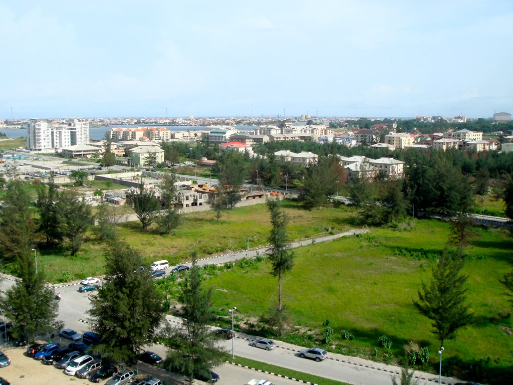
Satellite Map:
Related Photos:

Stranger 11
Banana Island View

Banana Island View

Banana Island View

Emmanuel Chudi Chukwurah - Animal Voice Project

Lagos Beach View

Shipwrecked at Elegushi...

Lekki Expressway

Beach in action @ Lagos,Nigeria

The journey just started
Topographic Map of Eti Osa, Nigeria
Find elevation by address:

Places near Eti Osa, Nigeria:
Eti-osa
Lekki
Lagos
Unnamed Road
Lekki Phase I
Lekki Phase 1
Igbogbo Ii
5 Admiralty Rd
Lekki - Epe Expressway
Ayo Jagun Street
Ikorodu
Ikorodu
Federal Housing Estate Primary School, Victoria Island
Ikoyi
Ikoyi
Lagos Island
Terra Kulture, Victoria Island Lagos
1004 Estate
Victoria Island
Victoria Island, Lagos
Recent Searches:
- Elevation of Corso Fratelli Cairoli, 35, Macerata MC, Italy
- Elevation of Tallevast Rd, Sarasota, FL, USA
- Elevation of 4th St E, Sonoma, CA, USA
- Elevation of Black Hollow Rd, Pennsdale, PA, USA
- Elevation of Oakland Ave, Williamsport, PA, USA
- Elevation of Pedrógão Grande, Portugal
- Elevation of Klee Dr, Martinsburg, WV, USA
- Elevation of Via Roma, Pieranica CR, Italy
- Elevation of Tavkvetili Mountain, Georgia
- Elevation of Hartfords Bluff Cir, Mt Pleasant, SC, USA