Elevation of Estadio Bicentenario de Villa Tunari, Villa Tunari, Bolivia
Location: Bolivia > Cochabamba Department >
Longitude: -65.399819
Latitude: -16.951123
Elevation: 290m / 951feet
Barometric Pressure: 98KPa
Elevation Map:
Satellite Map:
Related Photos:
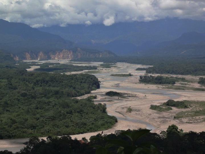
the view from the top of the park

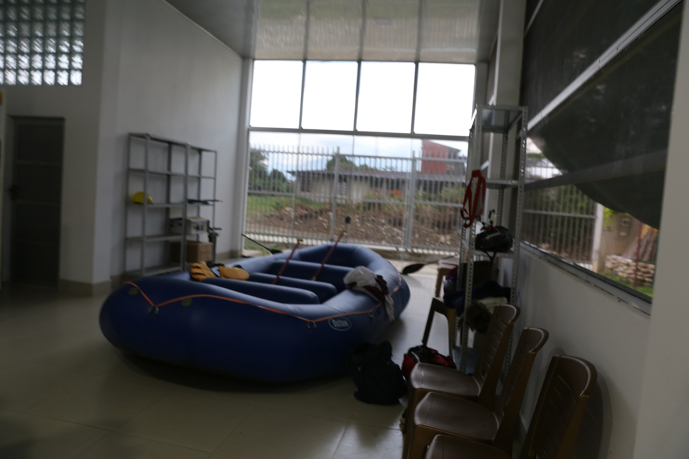
'Room' with a view

Villa Tunari, Bolivia

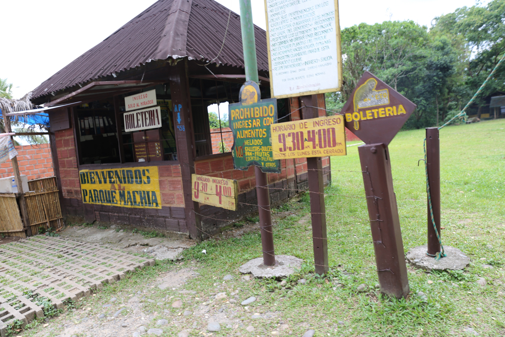
The road to the park, que lindo

KLR 650 Trip Bolivia 213

IMG_9769.jpg

IMG_9877.jpg

IMG_9876.jpg

IMG_9875.jpg
IMG_9871.jpg

IMG_9812.jpg

IMG_9808.jpg

IMG_9783.jpg

IMG_9766.jpg

IMG_9758.jpg

IMG_9753.jpg

IMG_9745.jpg
IMG_9743.jpg
IMG_9726.jpg

IMG_9724.jpg

IMG_9720.jpg

IMG_9718.jpg

IMG_9686.jpg

IMG_9678.jpg
Topographic Map of Estadio Bicentenario de Villa Tunari, Villa Tunari, Bolivia
Find elevation by address:

Places near Estadio Bicentenario de Villa Tunari, Villa Tunari, Bolivia:
Recent Searches:
- Elevation of Corso Fratelli Cairoli, 35, Macerata MC, Italy
- Elevation of Tallevast Rd, Sarasota, FL, USA
- Elevation of 4th St E, Sonoma, CA, USA
- Elevation of Black Hollow Rd, Pennsdale, PA, USA
- Elevation of Oakland Ave, Williamsport, PA, USA
- Elevation of Pedrógão Grande, Portugal
- Elevation of Klee Dr, Martinsburg, WV, USA
- Elevation of Via Roma, Pieranica CR, Italy
- Elevation of Tavkvetili Mountain, Georgia
- Elevation of Hartfords Bluff Cir, Mt Pleasant, SC, USA