Elevation of Eslamabad, Khuzestan Province, Iran
Location: Iran > Khuzestan Province >
Longitude: 48.5162223
Latitude: 32.3031444
Elevation: 104m / 341feet
Barometric Pressure: 100KPa
Elevation Map:
Satellite Map:
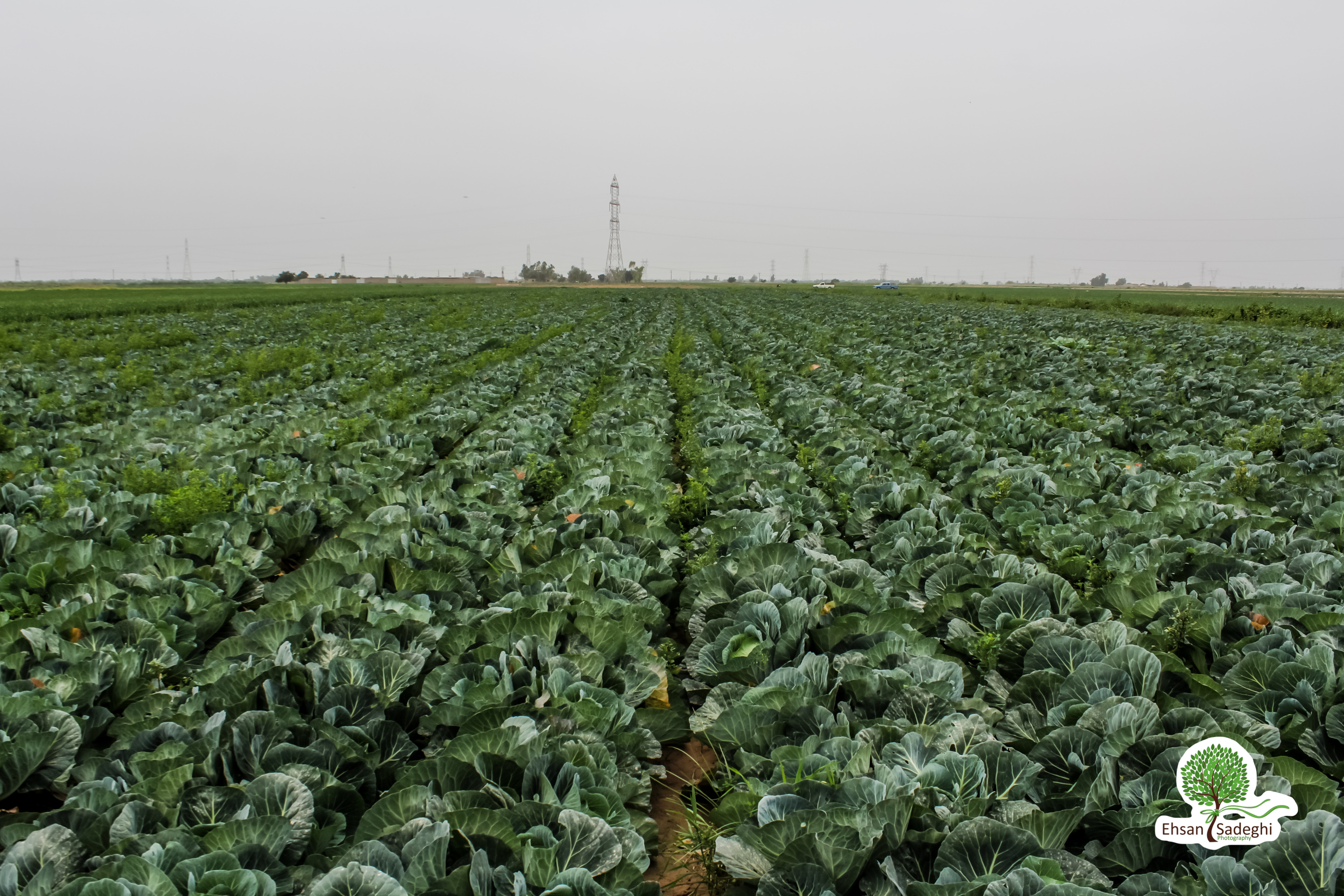
Related Photos:

1977.03-31a Dezful 1977, sunset دزفول

Ehasn_20160328_IMG_1735.jpg

Alef - Memorizing Defzul being under severe attacks during the "7 year holy defense"

شوش - علی کله

Defzul watermills from above

Morgh Polow with love

20171030-145922

Dez river at night

Ehasn_20160328_IMG_1939.jpg

Ehasn_20160328_IMG_1935.jpg

Ehasn_20160328_IMG_1907.jpg

Ehasn_20160328_IMG_1897.jpg

Ehasn_20160328_GOPR8489.jpg
Ehasn_20160328_IMG_1803.jpg
Topographic Map of Eslamabad, Khuzestan Province, Iran
Find elevation by address:

Places near Eslamabad, Khuzestan Province, Iran:
Shush
Apadana Castle Shush
Gotvand
Shooshtar
Lali
Mollasani
Susangerd
Hoveyzeh
Maroonbana-co
Ahvaz
Khuzestan Province
Dashte Azadeghan
Jongiyeh
Recent Searches:
- Elevation of Corso Fratelli Cairoli, 35, Macerata MC, Italy
- Elevation of Tallevast Rd, Sarasota, FL, USA
- Elevation of 4th St E, Sonoma, CA, USA
- Elevation of Black Hollow Rd, Pennsdale, PA, USA
- Elevation of Oakland Ave, Williamsport, PA, USA
- Elevation of Pedrógão Grande, Portugal
- Elevation of Klee Dr, Martinsburg, WV, USA
- Elevation of Via Roma, Pieranica CR, Italy
- Elevation of Tavkvetili Mountain, Georgia
- Elevation of Hartfords Bluff Cir, Mt Pleasant, SC, USA