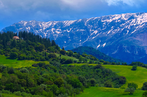
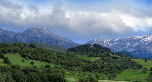
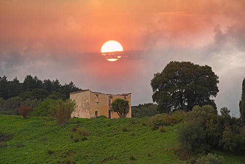
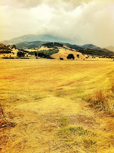
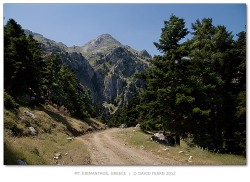
Elevation of Erymanthos, Greece
Location: Greece > Achaea >
Longitude: 21.7853143
Latitude: 38.0072526
Elevation: 733m / 2405feet
Barometric Pressure: 93KPa
Related Photos:
Topographic Map of Erymanthos, Greece
Find elevation by address:

Places near Erymanthos, Greece:
Messatida
Vrachneika
Achaia Clauss
Patra
Demenika
Achaea
Zaloggou 16, Demenika 00, Greece
Patra
Theriano
Profiti Ilia 49, Theriano 02, Greece
Epar.Od. Patras-Kalavriton 34, Kalavrita 01, Greece
Kokkinos Milos
Theofilopoulou 5, Patra 32, Greece
Panachaiko
Korinthou 299
Patras
Mornou 15
West Achaea
Rio
25is Martiou 7, Kato Kastritsi 04, Greece
Recent Searches:
- Elevation of Corso Fratelli Cairoli, 35, Macerata MC, Italy
- Elevation of Tallevast Rd, Sarasota, FL, USA
- Elevation of 4th St E, Sonoma, CA, USA
- Elevation of Black Hollow Rd, Pennsdale, PA, USA
- Elevation of Oakland Ave, Williamsport, PA, USA
- Elevation of Pedrógão Grande, Portugal
- Elevation of Klee Dr, Martinsburg, WV, USA
- Elevation of Via Roma, Pieranica CR, Italy
- Elevation of Tavkvetili Mountain, Georgia
- Elevation of Hartfords Bluff Cir, Mt Pleasant, SC, USA

