Elevation of Erie Township, IL, USA
Location: United States > Illinois > Whiteside County >
Longitude: -90.121423
Latitude: 41.6510005
Elevation: 177m / 581feet
Barometric Pressure: 99KPa
Elevation Map:
Satellite Map:
Related Photos:

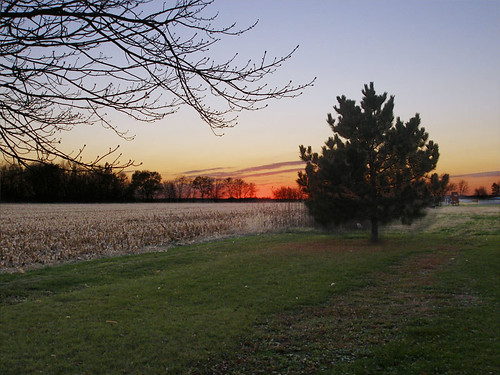
snowy dawn
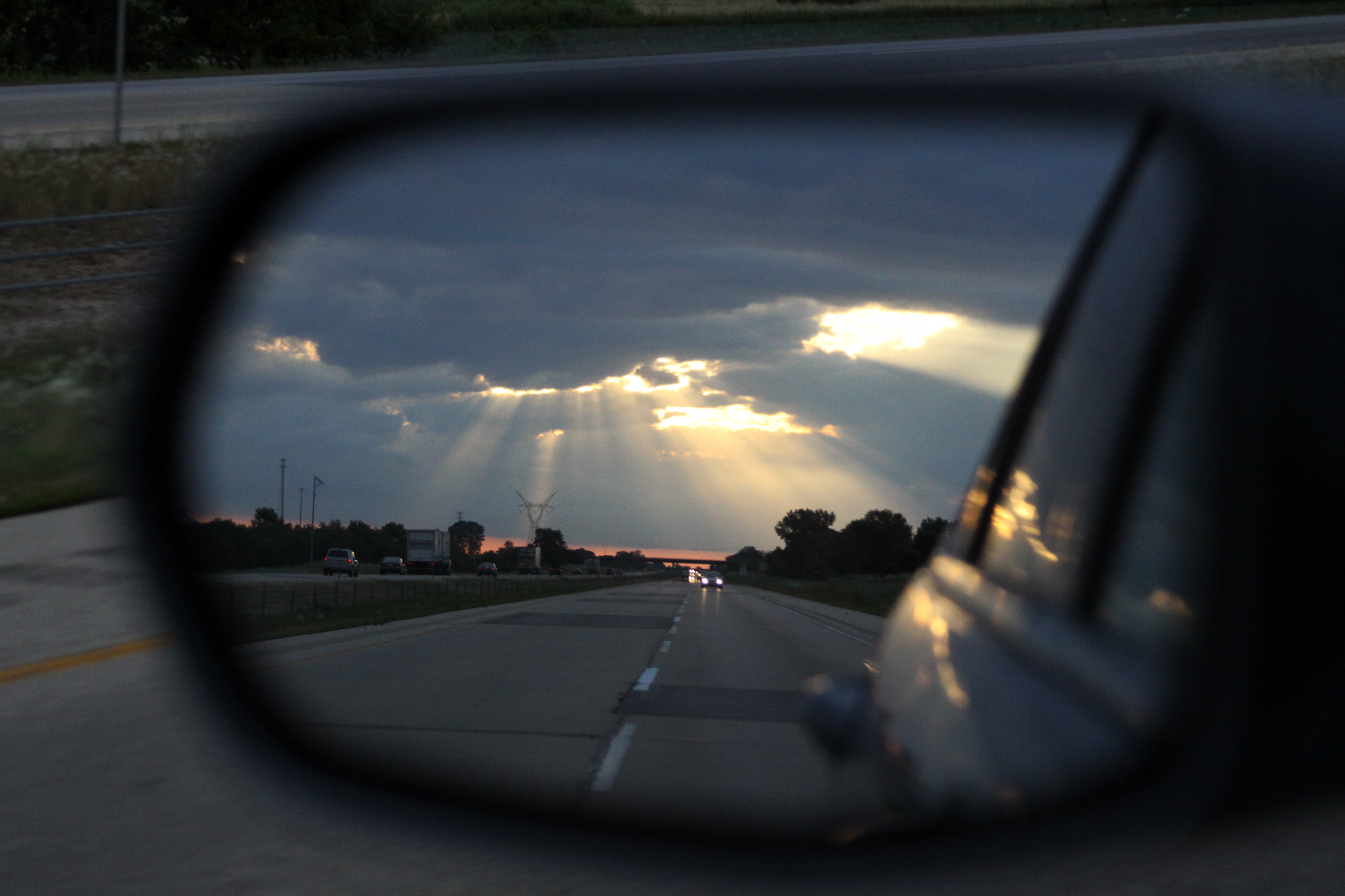
Objects in the Mirror Are Closer Than They Appear
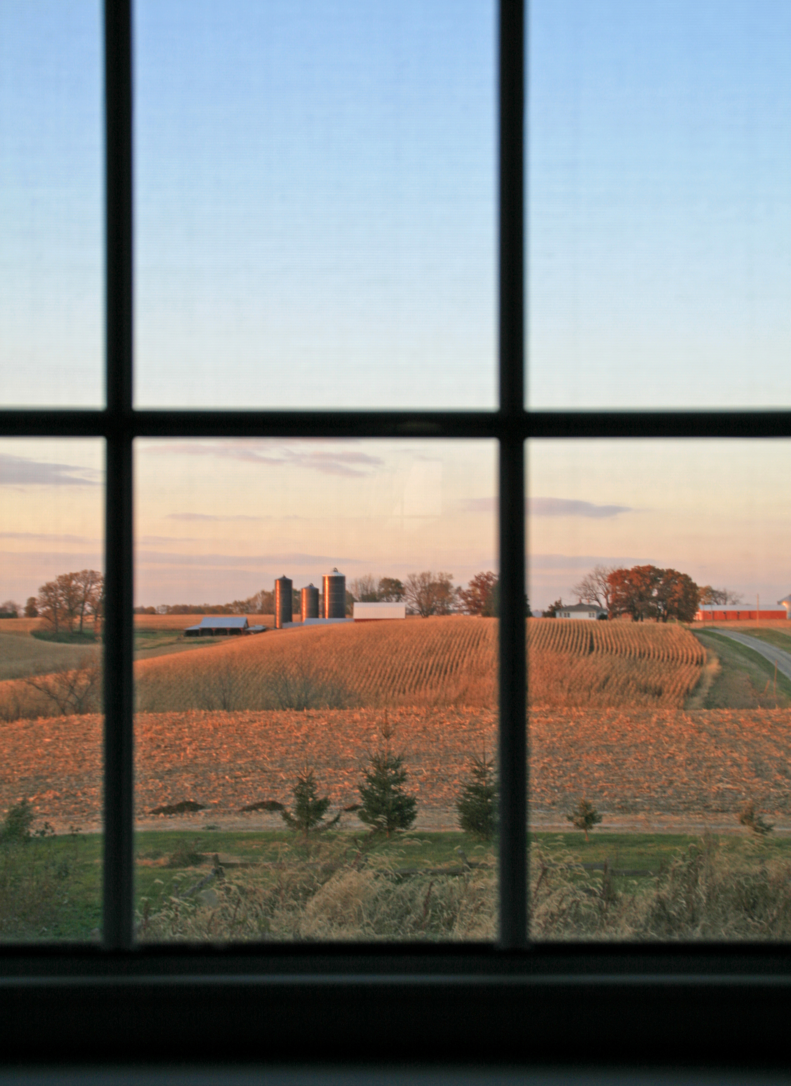
country view out a window
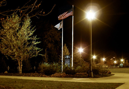
Eclipse Square Park; Prophetstown, Illinois

Campaña

Flood Plain Near Fulton, Illinois

In the Wind
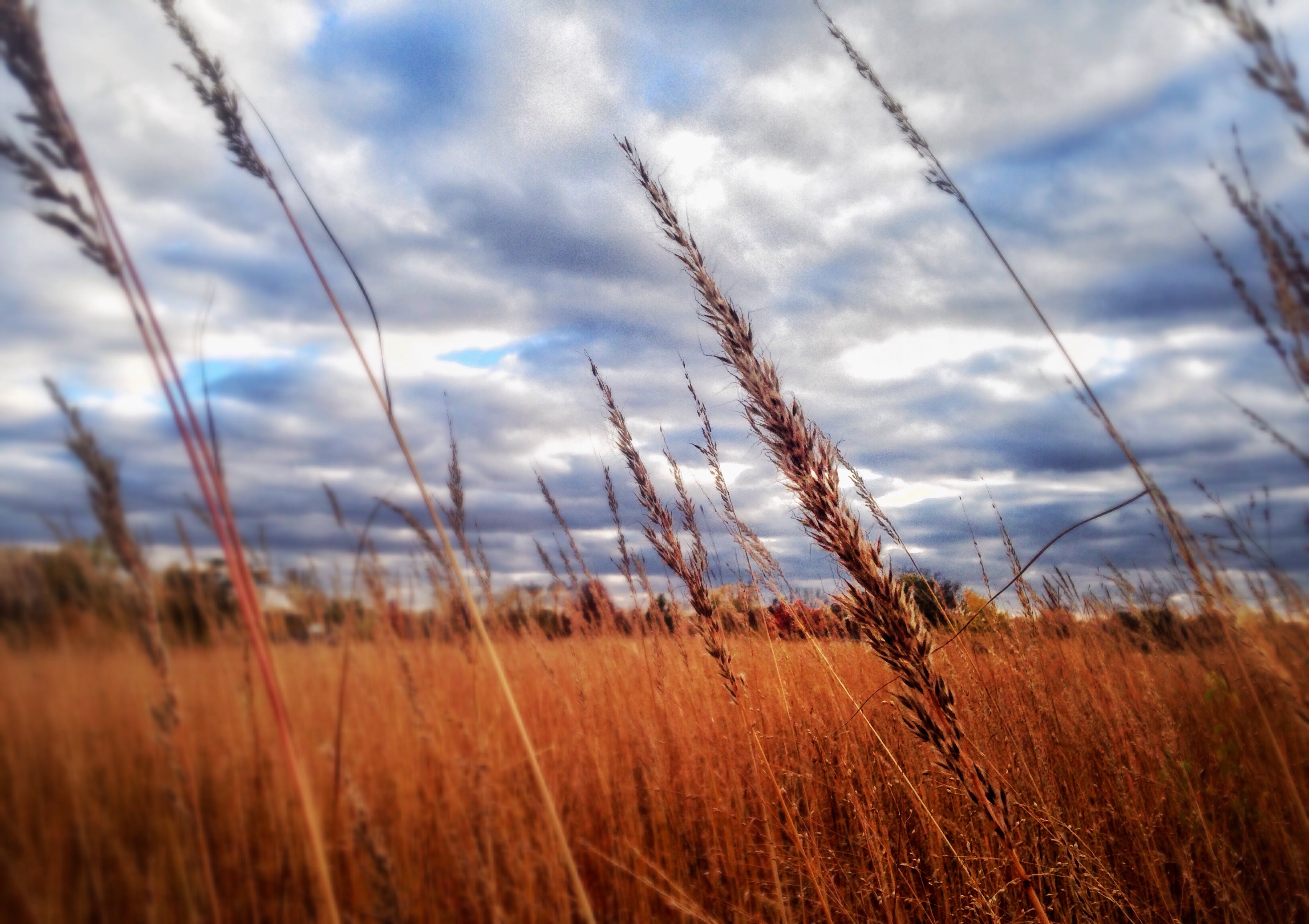
In the Wind

harvest day
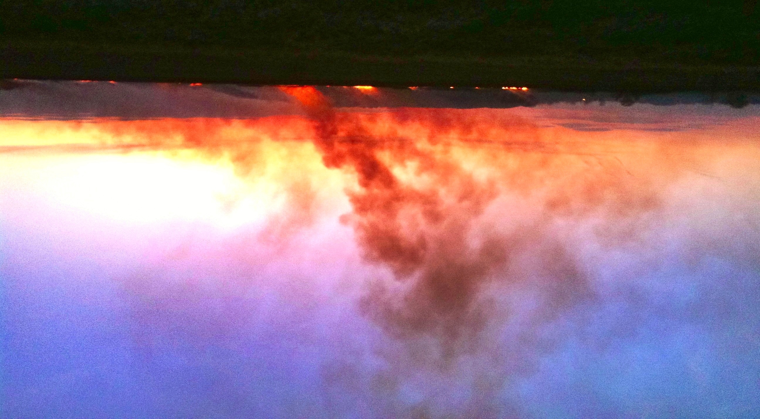
Burning Fields at Sunset

mud season
Twilight on the South Edge of Town; Prophetstown, Illinois
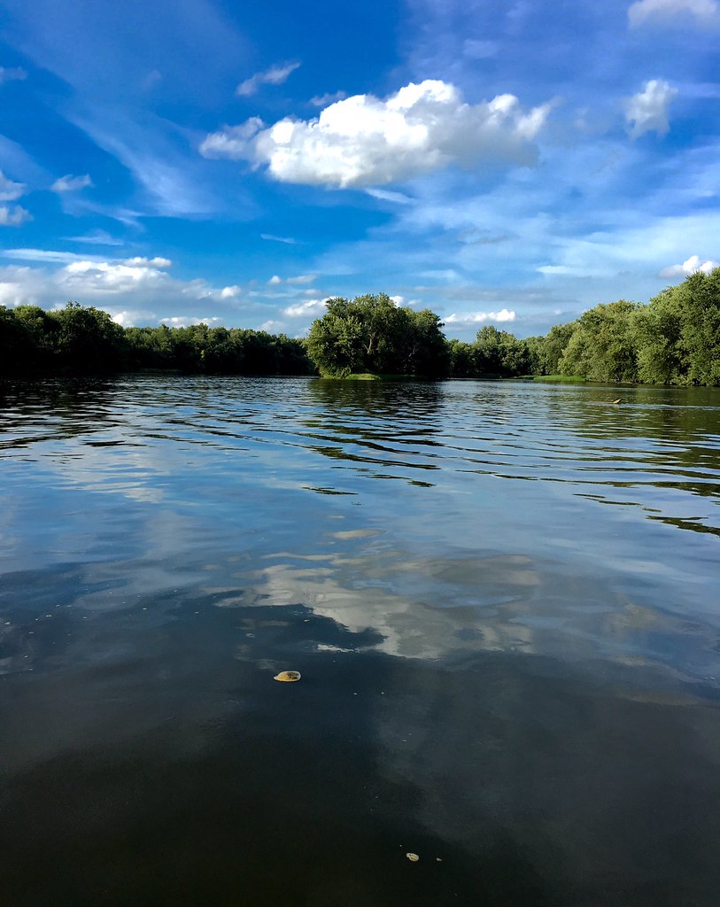
Rock River

snowy street

here the summers are green and blue
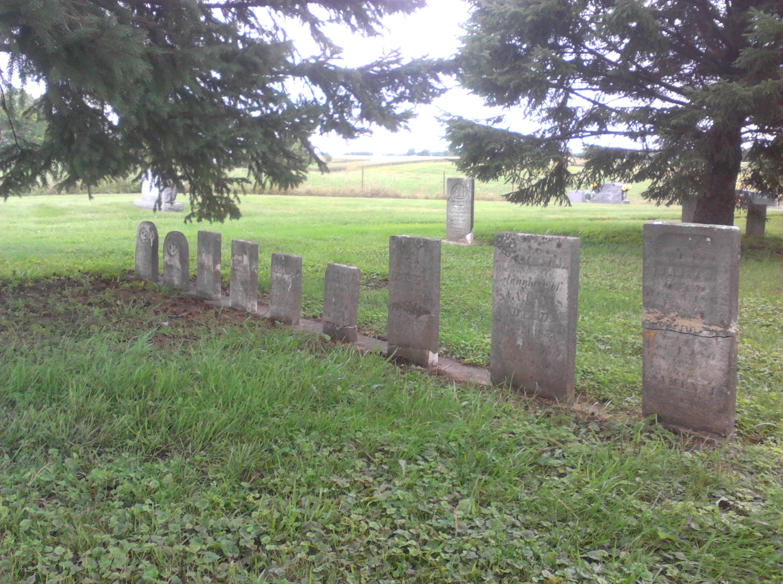
Zuma Cemetery
Topographic Map of Erie Township, IL, USA
Find elevation by address:

Places in Erie Township, IL, USA:
Places near Erie Township, IL, USA:
Erie
Main St, Erie, IL, USA
Hillsdale
Co Hwy 3, Erie, IL, USA
Portland Township
38th Ave N, Hillsdale, IL, USA
23835 E 1200th St
Zuma Township
Hanna Township
Co Hwy 4, Hillsdale, IL, USA
Hickory Hills Rd, Geneseo, IL, USA
Port Byron Township
218 S High St
Cherry St, Port Byron, IL, USA
Port Byron
2507 214th St N
2507 214th St N
2507 214th St N
2507 214th St N
26119 283 Ave Pl
Recent Searches:
- Elevation of Corso Fratelli Cairoli, 35, Macerata MC, Italy
- Elevation of Tallevast Rd, Sarasota, FL, USA
- Elevation of 4th St E, Sonoma, CA, USA
- Elevation of Black Hollow Rd, Pennsdale, PA, USA
- Elevation of Oakland Ave, Williamsport, PA, USA
- Elevation of Pedrógão Grande, Portugal
- Elevation of Klee Dr, Martinsburg, WV, USA
- Elevation of Via Roma, Pieranica CR, Italy
- Elevation of Tavkvetili Mountain, Georgia
- Elevation of Hartfords Bluff Cir, Mt Pleasant, SC, USA