Elevation of Erding, Germany
Location: Austria > Bavaria > Upper Bavaria > Erding >
Longitude: 11.9188758
Latitude: 48.3114648
Elevation: 459m / 1506feet
Barometric Pressure: 96KPa
Elevation Map:
Satellite Map:
Related Photos:

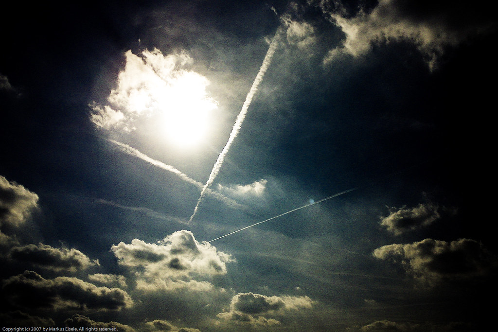
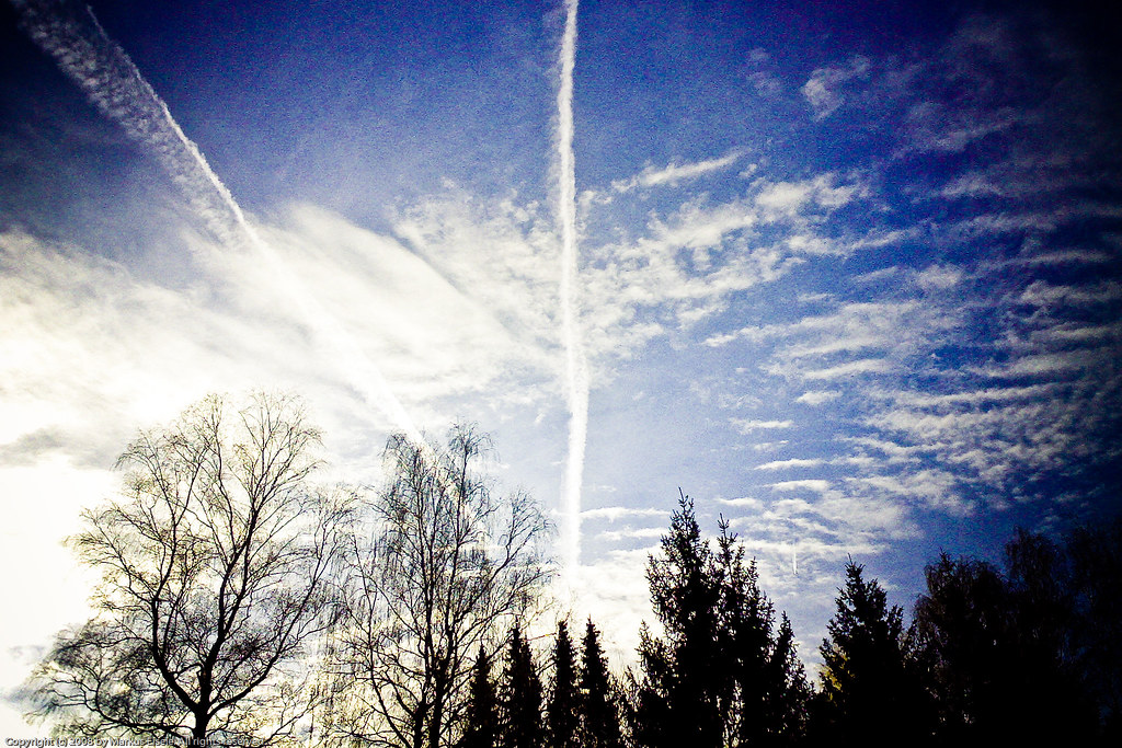
tears in the sky
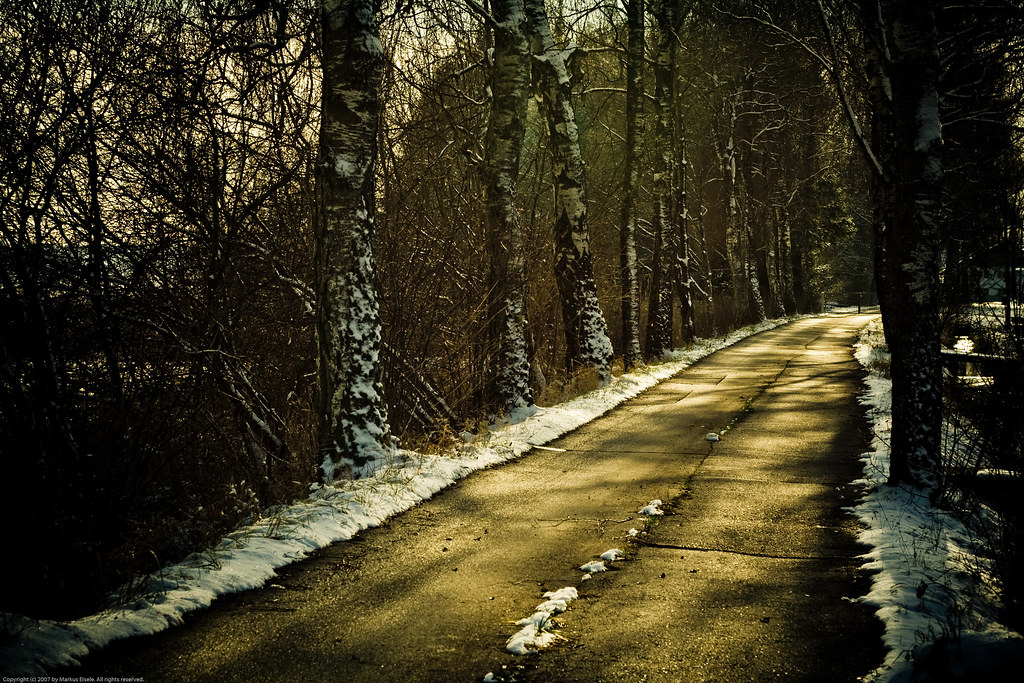
Wintertag im Isental
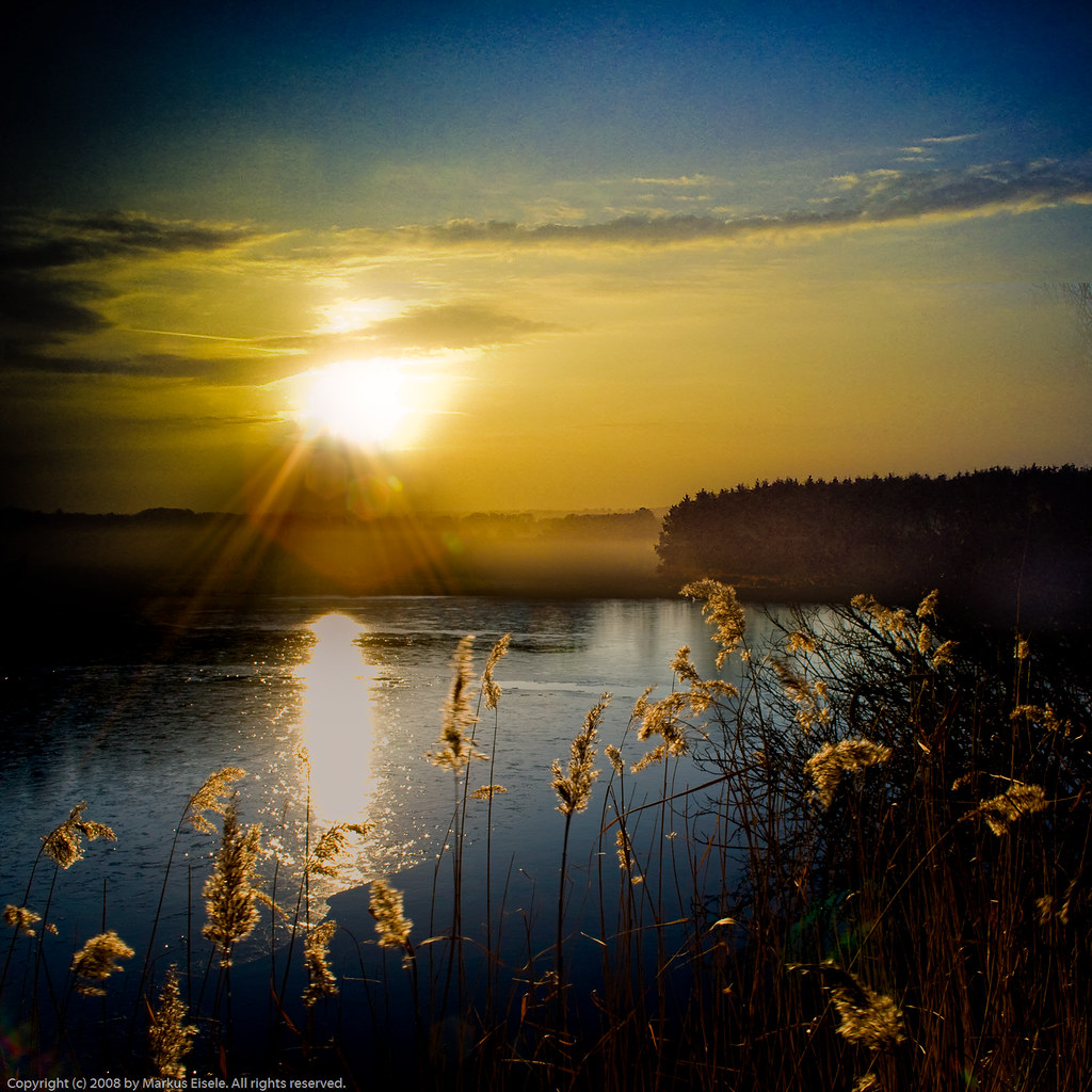
light at dawn
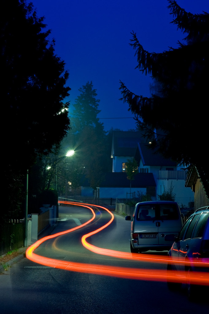
25 seconds for myfear
reaching out
distant blue

dreaming of ...
apocalyptic view

sunday sundown walk

cold as ice

I like long walks

one thing
crossing minds

two in two
they are watching us ...
upside down

daramatic sky *
approaching munich
shining light

four :)

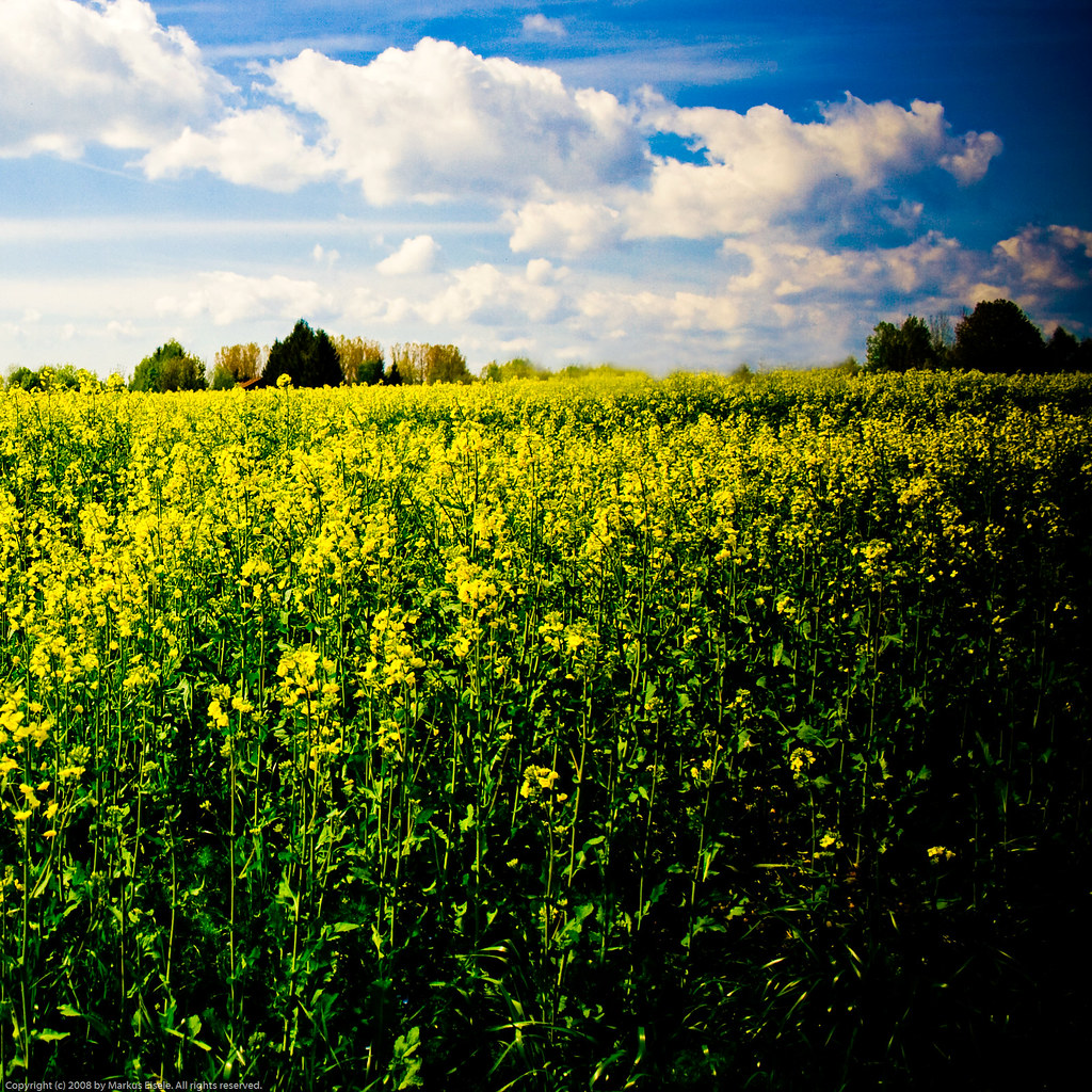
wedding flowers

looks like munich :o)
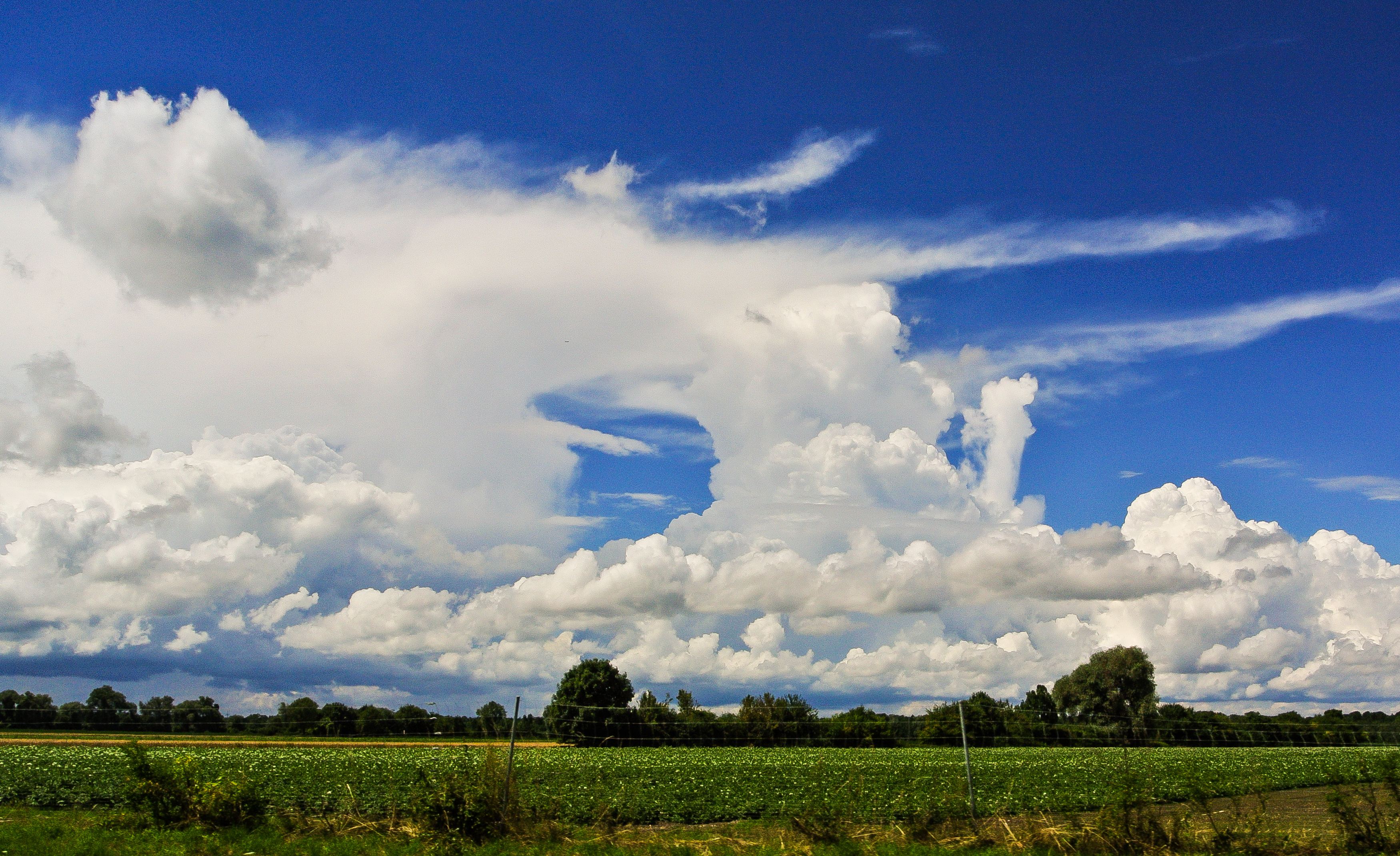
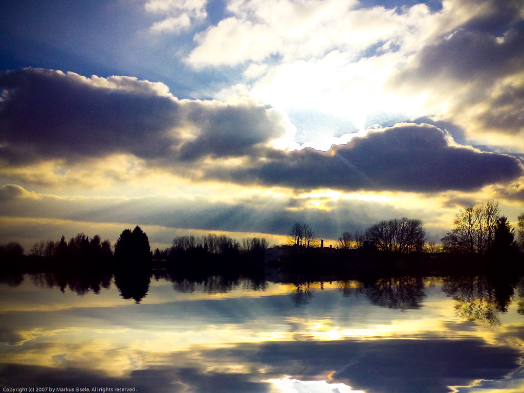
Magnificent clouds ...

endless sky

Painting II
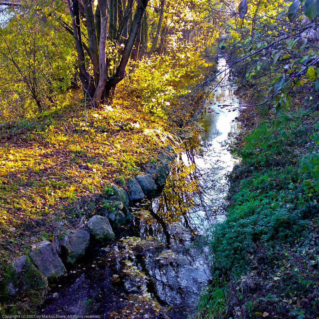
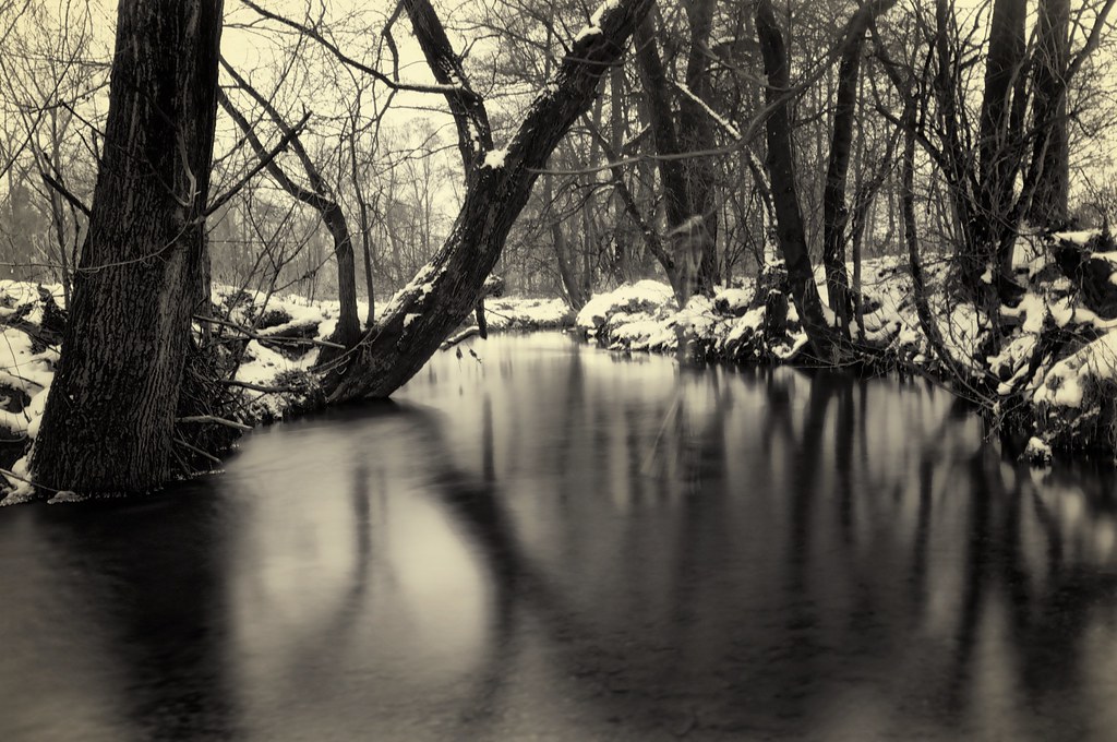
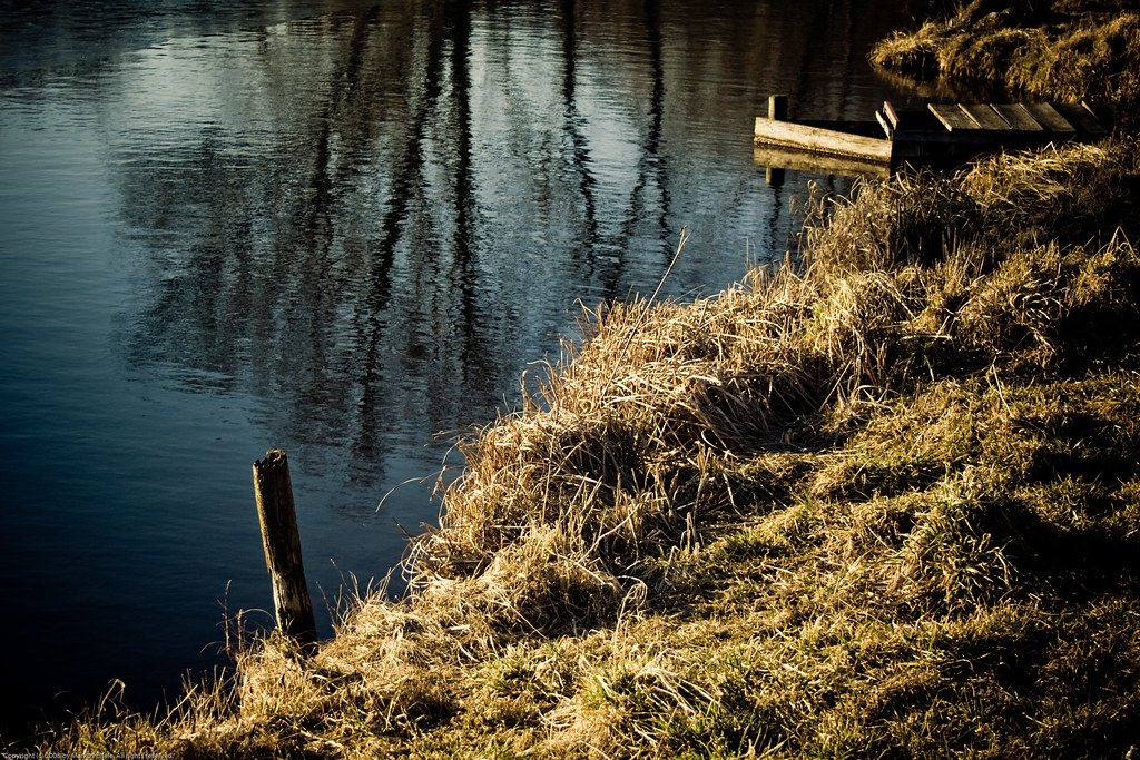
wild river reflection

perfect time
Sunrays II

Sunrise Part 2
no flood today

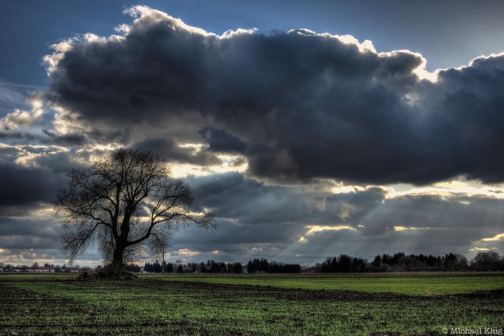
Spring Storm
mistaken for a dawn

flying high
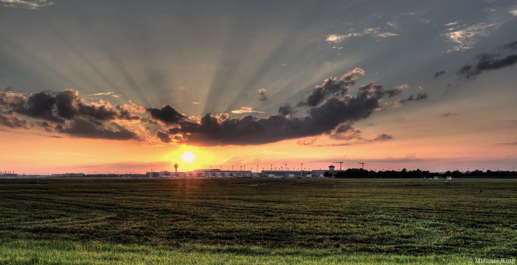
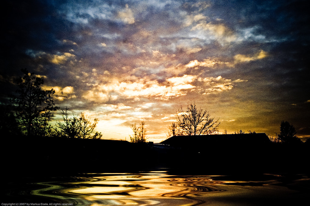
MUC Sunset

DSC_0033.jpg
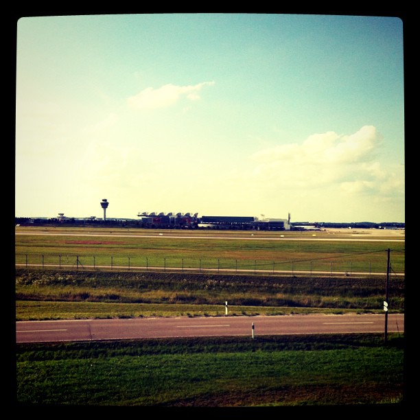
At the AirPort

four horespower

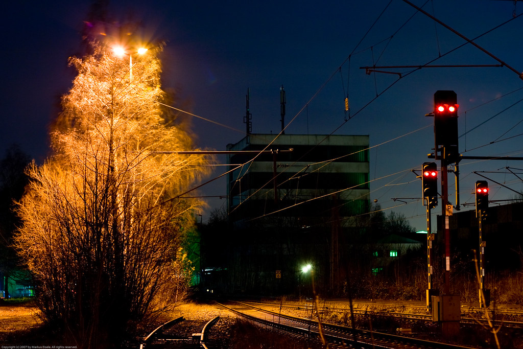
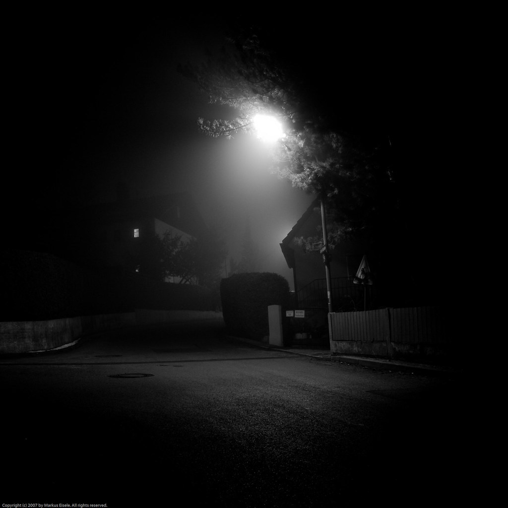
si·lence

winter afternoon
Topographic Map of Erding, Germany
Find elevation by address:

Places in Erding, Germany:
Places near Erding, Germany:
Langengeisling
Alte Römerstraße, Erding, Germany
Heed Eventlogistik Gmbh
Hofmarkpl. 9, Erding, Germany
Altenerding
Ziegelstatt 1, Erding, Germany
Riexing 13, Moosinning, Germany
Riexing
Moosinning
Neuching
1a
Schloßpl. 2, Markt Schwaben, Germany
Markt Schwaben
Finsing
12b
Hauptstraße 5, Finsing, Germany
Neufinsing
Golfclub München Eichenried
Pliening
Ottersberg
Recent Searches:
- Elevation of Corso Fratelli Cairoli, 35, Macerata MC, Italy
- Elevation of Tallevast Rd, Sarasota, FL, USA
- Elevation of 4th St E, Sonoma, CA, USA
- Elevation of Black Hollow Rd, Pennsdale, PA, USA
- Elevation of Oakland Ave, Williamsport, PA, USA
- Elevation of Pedrógão Grande, Portugal
- Elevation of Klee Dr, Martinsburg, WV, USA
- Elevation of Via Roma, Pieranica CR, Italy
- Elevation of Tavkvetili Mountain, Georgia
- Elevation of Hartfords Bluff Cir, Mt Pleasant, SC, USA