Elevation of Enterprise, AL, USA
Location: United States > Alabama > Coffee County >
Longitude: -85.855216
Latitude: 31.3151708
Elevation: 108m / 354feet
Barometric Pressure: 100KPa
Elevation Map:
Satellite Map:
Related Photos:

Peanut Wagon

Storage Building 6008 - Fort Rucker

Five Hueys - Fort Rucker

UH-1 Huey line-up - Fort Rucker
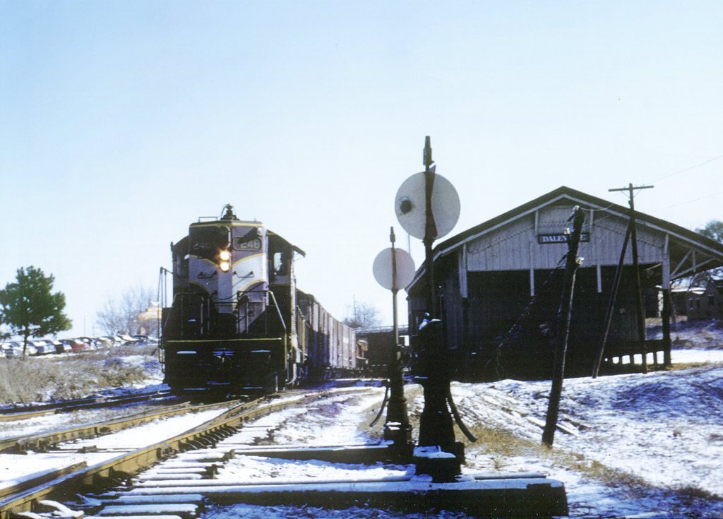
ACL 248
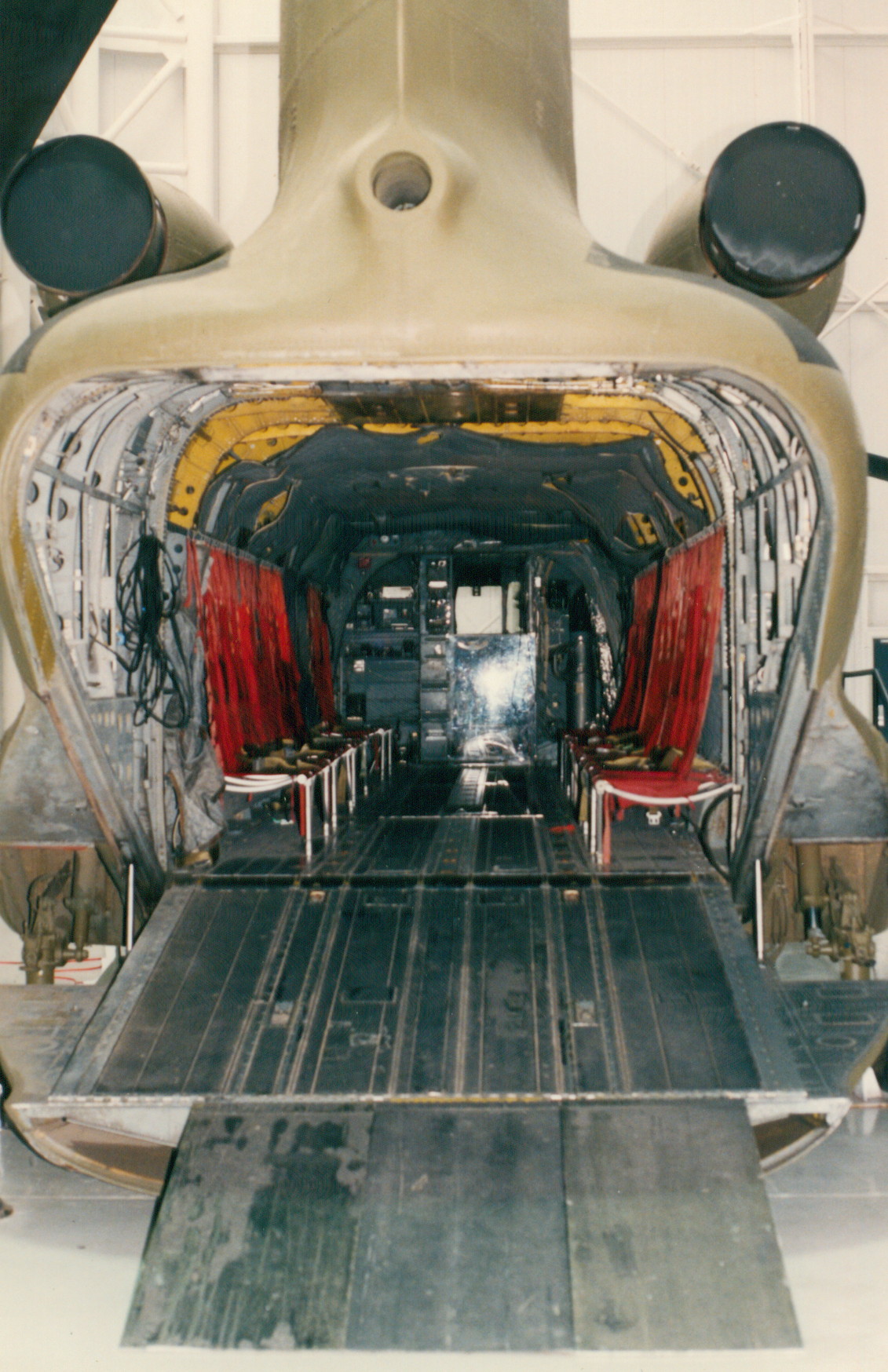
CH-47A

IMG_4936.JPG

IMG_4935.JPG

Streetside view

Partly Cloudy

Partly Cloudy

Cotton field back home

Partly Cloudy
Topographic Map of Enterprise, AL, USA
Find elevation by address:

Places in Enterprise, AL, USA:
Coppinville Rd, Enterprise, AL, USA
AL-27, Enterprise, AL, USA
Lake Oliver Dr, Enterprise, AL, USA
Woodbridge Rd, Enterprise, AL, USA
Wynn Rd, Enterprise, AL, USA
Co Rd, Enterprise, AL, USA
West Kingswood Drive
Places near Enterprise, AL, USA:
Wynn Rd, Enterprise, AL, USA
Woodbridge Rd, Enterprise, AL, USA
Lake Oliver Dr, Enterprise, AL, USA
West Kingswood Drive
Coppinville Rd, Enterprise, AL, USA
117 E Pondella Dr
AL-51, New Brockton, AL, USA
New Brockton
73 Co Rd, New Brockton, AL, USA
AL-51, New Brockton, AL, USA
7972 Al-51
Brunson Street
Elba
Reese Avenue
1247 Co Rd 407
1247 Co Rd 407
1462 Co Rd 407
Elba Elementary School
19770 Al-189
AL-, Elba, AL, USA
Recent Searches:
- Elevation of Corso Fratelli Cairoli, 35, Macerata MC, Italy
- Elevation of Tallevast Rd, Sarasota, FL, USA
- Elevation of 4th St E, Sonoma, CA, USA
- Elevation of Black Hollow Rd, Pennsdale, PA, USA
- Elevation of Oakland Ave, Williamsport, PA, USA
- Elevation of Pedrógão Grande, Portugal
- Elevation of Klee Dr, Martinsburg, WV, USA
- Elevation of Via Roma, Pieranica CR, Italy
- Elevation of Tavkvetili Mountain, Georgia
- Elevation of Hartfords Bluff Cir, Mt Pleasant, SC, USA