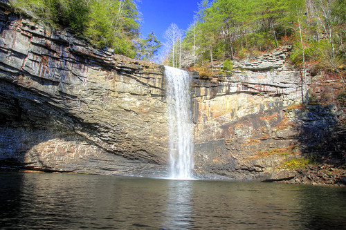
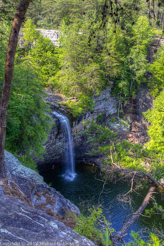
Elevation of English Cove Road, English Cove Rd, Whitwell, TN, USA

Location: United States > Tennessee > Marion County > Whitwell >

Longitude: -85.545725

Latitude: 35.1998314

Elevation: 603m / 1978feet

Barometric Pressure: 94KPa

Elevation Map:

elevation map of English Cove Road, English Cove Rd, Whitwell, TN, USA
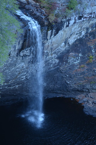
Satellite Map:

Satellite map of English Cove Road, English Cove Rd, Whitwell, TN, USA
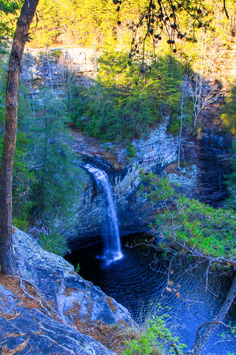
Related Photos:

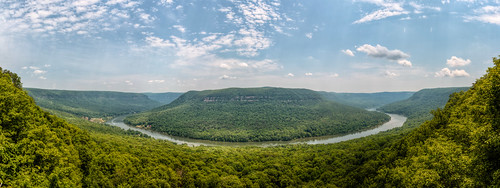
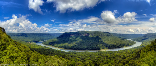
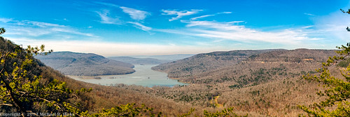
panorama usa chattanooga geotagged unitedstates tennessee stanley hdr tennesseeriver hik ptgui photomatix cumberlandtrail tennesseestateparks cumberlandtrailstatepark mullenscove geo:lat=3510187443 geo:lon=8542464167 prenticecooperstateforest tennesseerivergorgesegment mullenscoveloop
Mullen's Cove
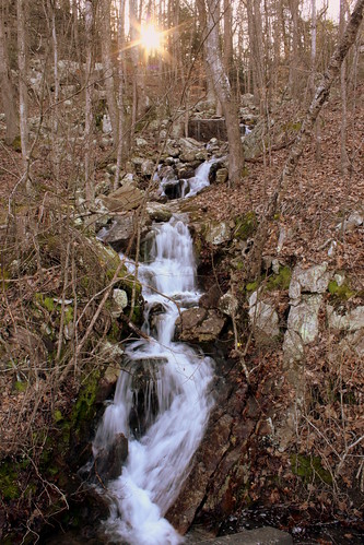
waterfall tn tennessee marioncounty dixiehighway waldenridge waldensridge bmok tn27 prenticecooperstateforest bmok101 suckcreekrd
Unnamed waterfall two seen along the old Dixie Highway
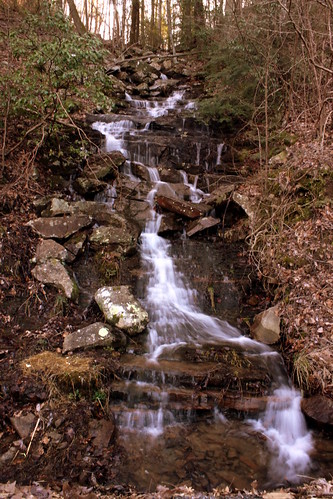
waterfall tn tennessee marioncounty dixiehighway waldenridge waldensridge bmok tn27 prenticecooperstateforest suckcreekrd
Unnamed waterfall one seen along the old Dixie Highway
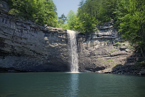
landscape waterfall tennessee
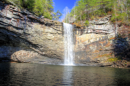
Foster Falls
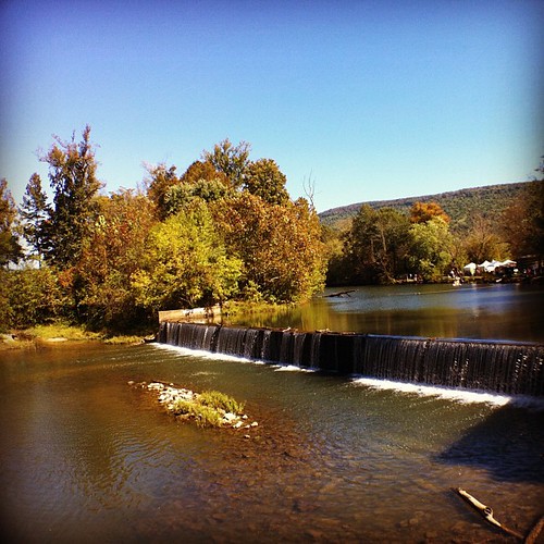
square squareformat hefe iphoneography instagramapp uploaded:by=instagram foursquare:venue=4cb9e7694495721e462c4d7a
Weekend Festival - view from the Mill.
thechallengefactory
Enjoying the View
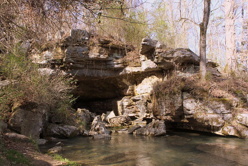
tn tennessee cave sna marioncounty cavespring sequatchie statenaturalarea bmok bmok2 bmok101 sequatchiecave
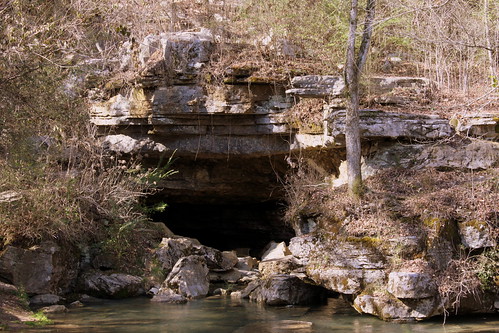
Sequatchie Cave
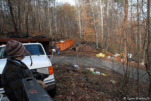
us garbage tn tennessee volunteers caves restore caving smg cccp whitwell southeastern cavers horshoebend sktf sktfiorg karstcleanupwhitwelltn roadsidecleanupmarioncotn marioncountytennessee downthroughtheagespeopleshabitsarealwaysfamiliar volunteercleaning
Karst Clean Up Whitwell TN
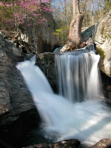
stone creek forest waterfall stream cove falls foster fiery redbud grundy gizzard
Waterfalls and Redbuds
waterfall tennessee fostersfalls april2010 southcumberlandstaterecreationarea fostersfallswildarea
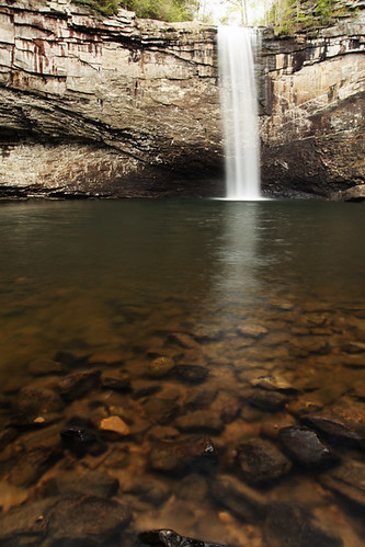
Fosters Falls' Pool
church tn tennessee victoria marioncounty tn28 bmok bmokchurch
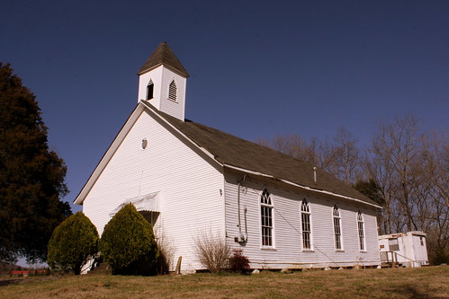
Bethel Church - Victoria, TN
tn tennessee cave sna marioncounty cavespring sequatchie statenaturalarea bmok bmok2 sequatchiecave
Sequatchie Cave
jasper tn tennessee courthouse 1925 marioncounty countycourthouse bmok bmok2
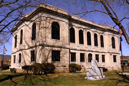
Marion County Courthouse Rear View - Jasper, TN
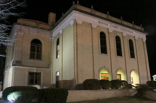
night jasper tn tennessee courthouse 1925 marioncounty countycourthouse bmok bmok2
Marion County Courthouse Front Corner View at Night - Jasper, TN
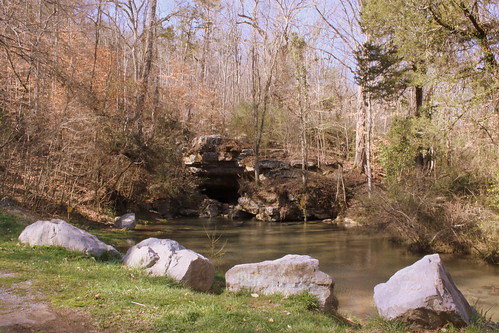
tn tennessee cave sna marioncounty cavespring sequatchie statenaturalarea bmok bmok2 sequatchiecave
Sequatchie Cave
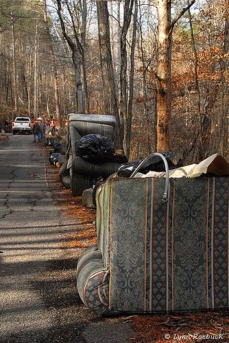
garbage tennessee pit caves caving cccp whitwell marioncounty cavers dirtyjobs horshoebend sktf serakarsttaskforce ©lynnroebuck sewaneemtngrotto sktfvolunteers allvolunteer downthroughtheagespeopleshabitsarealwaysfamiliar volunteercleaning
Whitwell TN Garbage
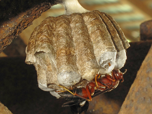
ketnersmill polistesannularis redpaperwasp
Polistes metricus, Ketner's Mill, Sequatchie Valley, Marion County, Tennessee 1
waterfall tennessee tva fosterfalls marioncounty bmok
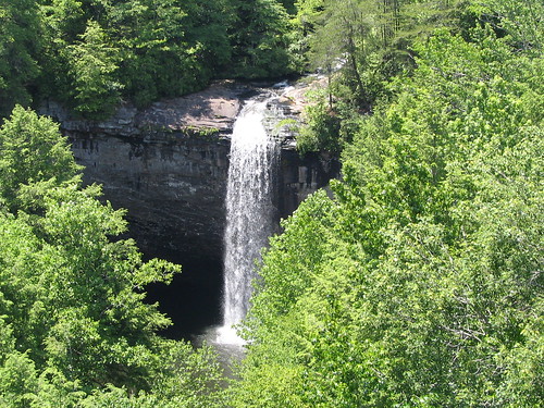
Foster Falls - as seen from above.
waterfall tennessee fosterfalls
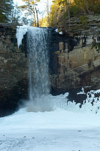
The Cold Plunge
FosterFalls New Years Day 2012
station tn tennessee victoria depot marioncounty ketnersmill ncstl sequatchievalley sequatchievalleyrailroad tn28 bmok bmok2 bmokdepot valleyviewhighway
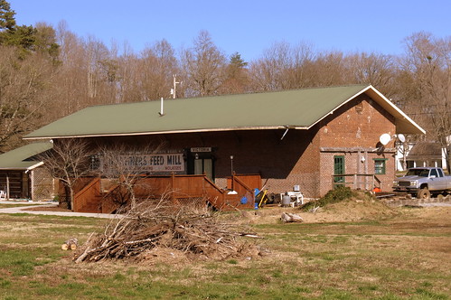
Victoria, TN train depot
usa chattanooga geotagged unitedstates tennessee stanley tennesseeriver ptgui photomatix cumberlandtrail tennesseestateparks cumberlandtrailstatepark geo:lat=3510186243 geo:lon=8542412945 potpointloop tennesseerivergorgesegment
Pot Point Loop - Snooper's Rock Overlook
usa chattanooga geotagged unitedstates tennessee stanley tennesseestateparks cumberlandtrailstatepark prenticecooperstateforest geo:lat=3510186134 geo:lon=8542418605 tennesseerivergorgesegment mullenscoveloop
Mullens Cove Loop
usa chattanooga geotagged unitedstates tennessee stanley ptgui photomatix cumberlandtrail tennesseestateparks sigma18200mmf3563dc snoopersrock cumberlandtrailstatepark mullenscove canont2i prenticecooperstateforest geo:lat=3510186167 geo:lon=8542418667 tennesseerivergorgesegment mullenscoveloop
Mullens Cove Loop
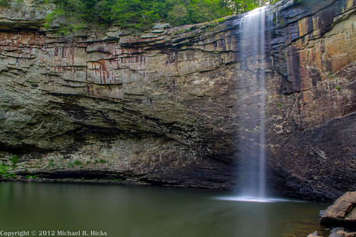
usa geotagged waterfall unitedstates hiking tennessee waterfalls fosterfalls oakgrove sequatchie tennesseestateparks fierygizzard southcumberlandstatepark nashvillehikingmeetup geo:lat=3518144638 geo:lon=8567589764 fosterfallstvssmallwildarea
Foster Falls
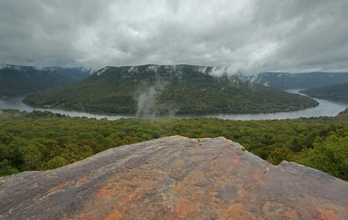
tennesseerivergorge snoopersrock prenticecooperstateforest
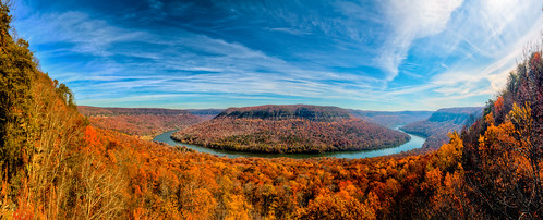
Tennessee River Gorge (Cash Canyon), from Snoopers Rock, Prentice Cooper State Forest, Marion County, Tennessee 2
usa geotagged unitedstates tennessee fosterfalls oakgrove sequatchie tennesseestateparks fierygizzard southcumberlandstatepark geo:lat=3518136667 geo:lon=8567581833 fosterfallstvssmallwildarea
South Cumberland State Park - Foster Falls
chattanooga geotagged unitedstates hiking tennessee stanley shakerag tennesseestateparks cumberlandtrailstatepark prenticecooperstateforest geo:lat=3510179642 geo:lon=8542419866 tennesseerivergorgesegment mullenscoveloop
Mullens Cove Loop
chattanooga unitedstates hiking tennessee stanley shakerag cumberlandtrail tennesseestateparks exif:isospeed=100 geo:state=tennessee cumberlandtrailstatepark geo:countrys=unitedstates exif:aperture=ƒ10 tennesseehikinggroup potpointloop prenticecooperstateforestwma geo:city=chattanooga ransomhollowoverlook geo:lat=35090833333333 geo:lon=85439166666667 tennesseerivergorgesegment
Ransom Hollow Overlook - Pot Point Loop - February 9, 2013
chattanooga geotagged unitedstates hiking tennessee stanley shakerag tennesseestateparks cumberlandtrailstatepark prenticecooperstateforest geo:lat=3510179642 geo:lon=8542419866 tennesseerivergorgesegment mullenscoveloop
Mullens Cove Loop
chattanooga geotagged unitedstates hiking tennessee stanley shakerag cumberlandtrail tennesseestateparks camera:make=canon exif:make=canon exif:focallength=18mm geo:state=tennessee cumberlandtrailstatepark exif:isospeed=250 geo:countrys=unitedstates camera:model=canoneos7d exif:model=canoneos7d exif:lens=18200mm exif:aperture=ƒ63 tennesseehikinggroup geo:lat=3509079837 geo:lon=8543904313 geo:lon=85439043333333 geo:lat=35090798333333 potpointloop prenticecooperstateforestwma geo:city=chattanooga tennesseerivergorgesegment
Pot Point Loop - February 9, 2013
usa geotagged unitedstates hiking tennessee fosterfalls oakgrove sequatchie tennesseestateparks fierygizzard southcumberlandstatepark nashvillehikingmeetup geo:lat=3518146568 geo:lon=8567581268 fosterfallstvssmallwildarea
Foster Falls
usa geotagged unitedstates hiking tennessee fosterfalls oakgrove sequatchie tennesseestateparks fierygizzard southcumberlandstatepark nashvillehikingmeetup geo:lat=3518154899 geo:lon=8567578978 fosterfallstvssmallwildarea
Foster Falls
usa geotagged unitedstates tennessee fosterfalls oakgrove sequatchie tennesseestateparks fierygizzard southcumberlandstatepark geo:lat=3518128452 geo:lon=8567593109 fosterfallstvssmallwildarea
South Cumberland State Park - Foster Falls
fosterfalls tennesseewaterfalls fierygizzardcreek
Foster Falls
Foster falls falling
usa unitedstates tn oakgrove tennesseestateparks fierygizzard southcumberlandstatepark tracycity grundyforeststatenaturalarea lankfordtown
Fiery Gizzard-216_7_8.jpg
usa unitedstates tn fosterfalls oakgrove tennesseestateparks fierygizzard southcumberlandstatepark tracycity fosterfallstvssmallwildarea
Foster Falls-034_5_6.jpg
usa unitedstates tn fosterfalls oakgrove tennesseestateparks fierygizzard southcumberlandstatepark tracycity fosterfallstvssmallwildarea
Foster Falls-028_29_30.jpg
usa unitedstates tn fosterfalls oakgrove tennesseestateparks fierygizzard southcumberlandstatepark tracycity fosterfallstvssmallwildarea
Foster Falls-037_8_9.jpg
usa geotagged unitedstates hiking tennessee fosterfalls oakgrove sequatchie tennesseestateparks fierygizzard southcumberlandstatepark nashvillehikingmeetup geo:lat=3518144287 geo:lon=8567614699 fosterfallstvssmallwildarea
Foster Falls