Elevation of England Bridge, Robbinsville, NC, USA
Location: United States > North Carolina > Graham County > Cheoah >
Longitude: -83.7671535
Latitude: 35.3382491
Elevation: 675m / 2215feet
Barometric Pressure: 0KPa
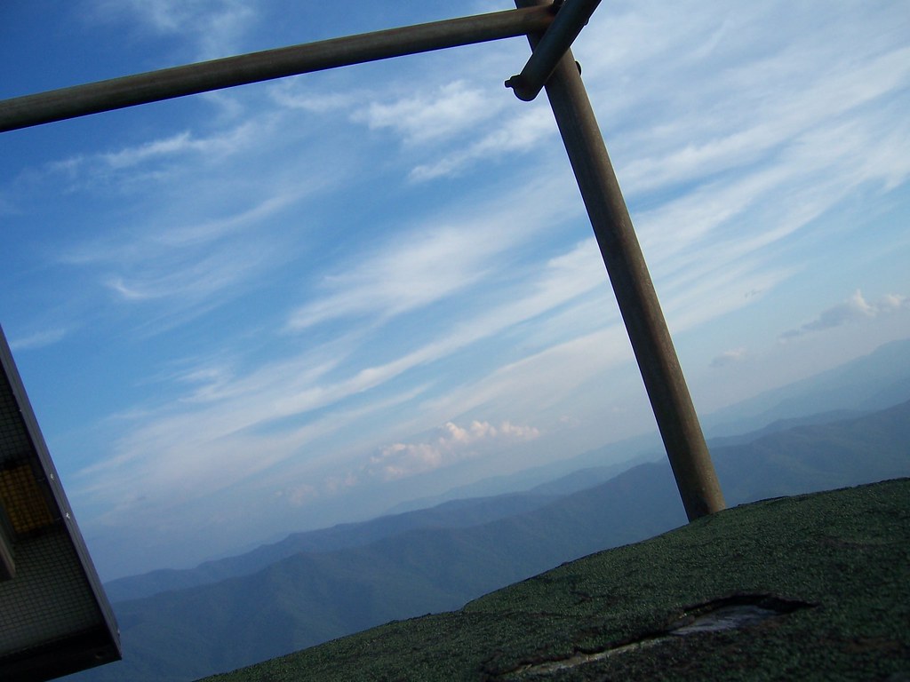
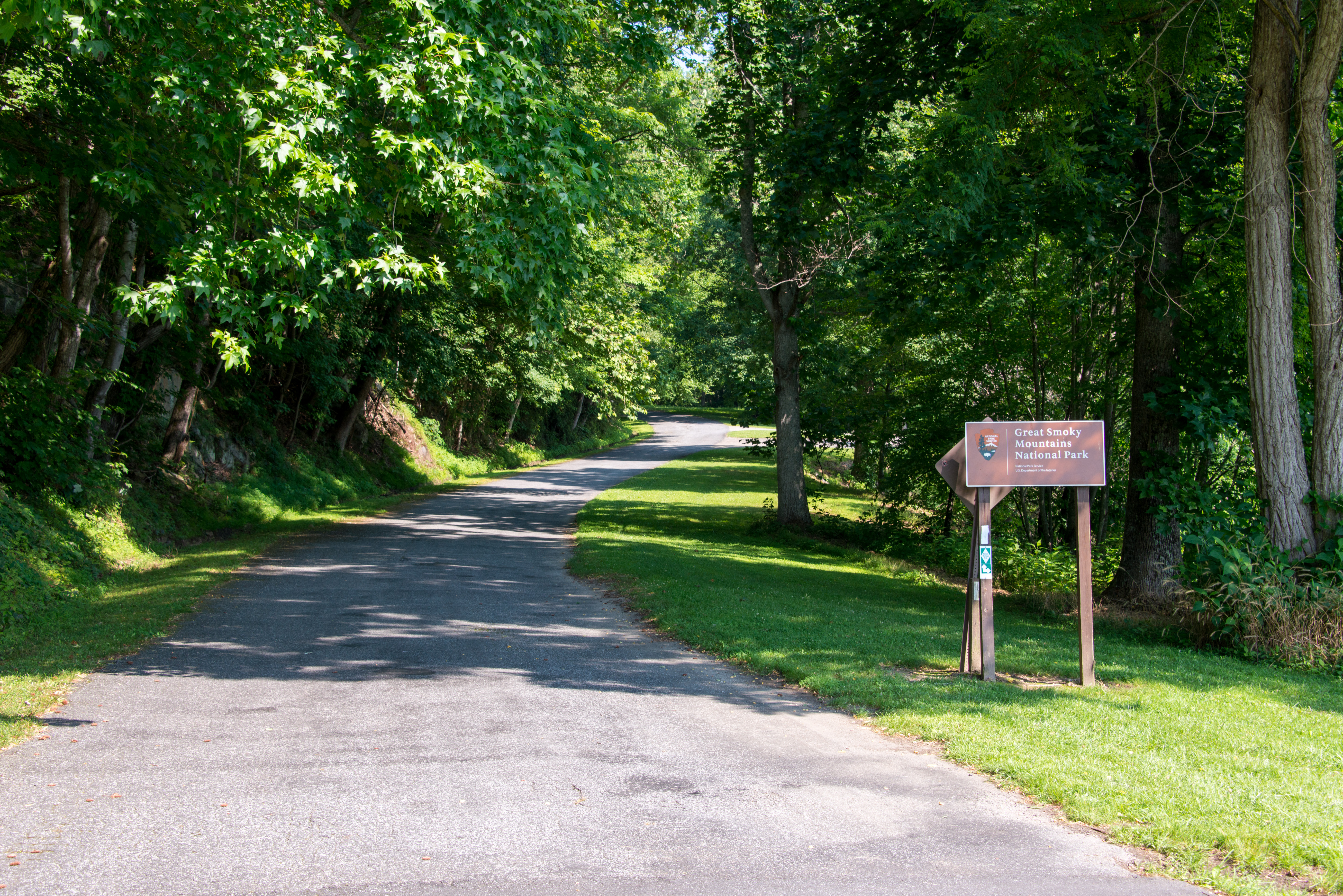
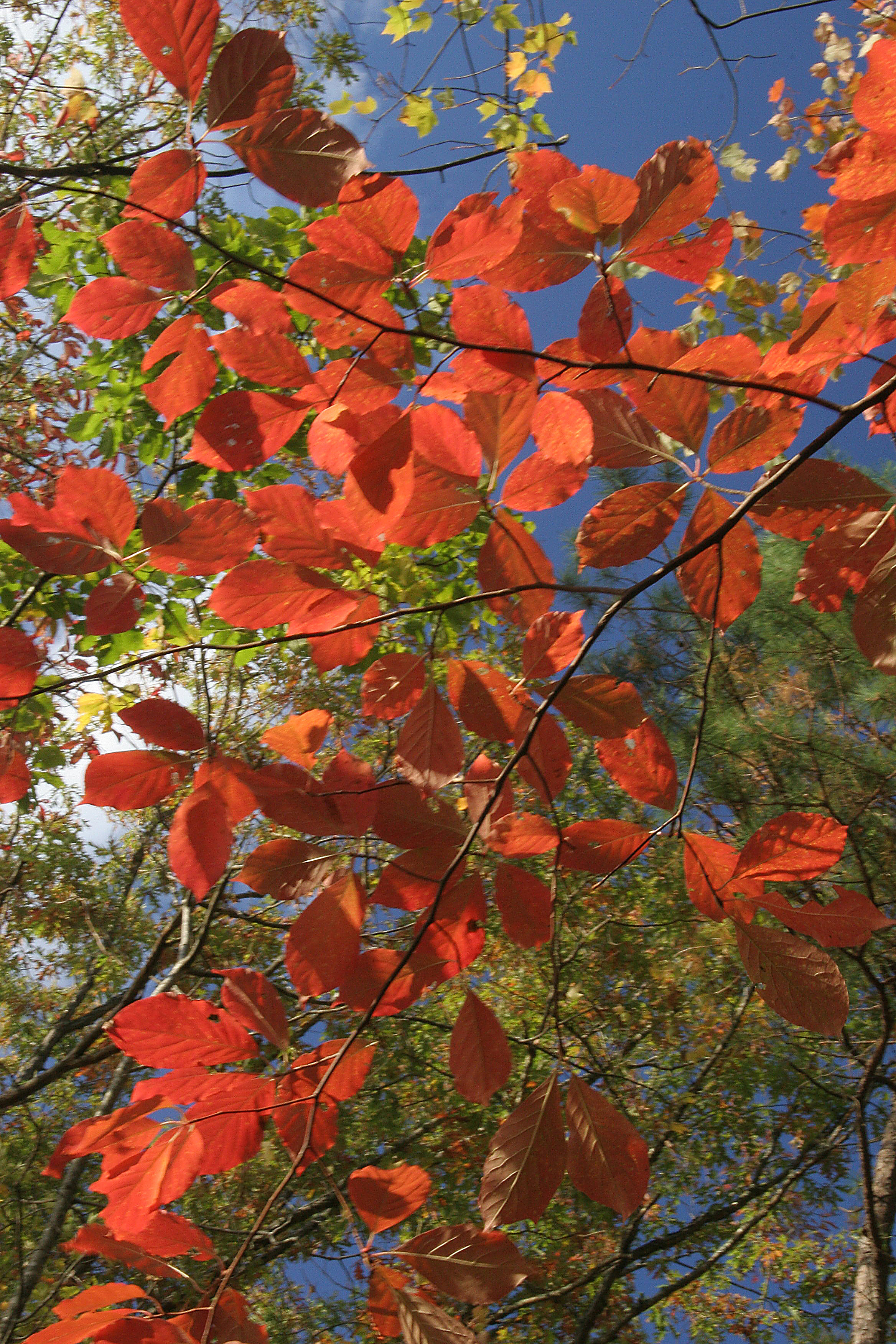
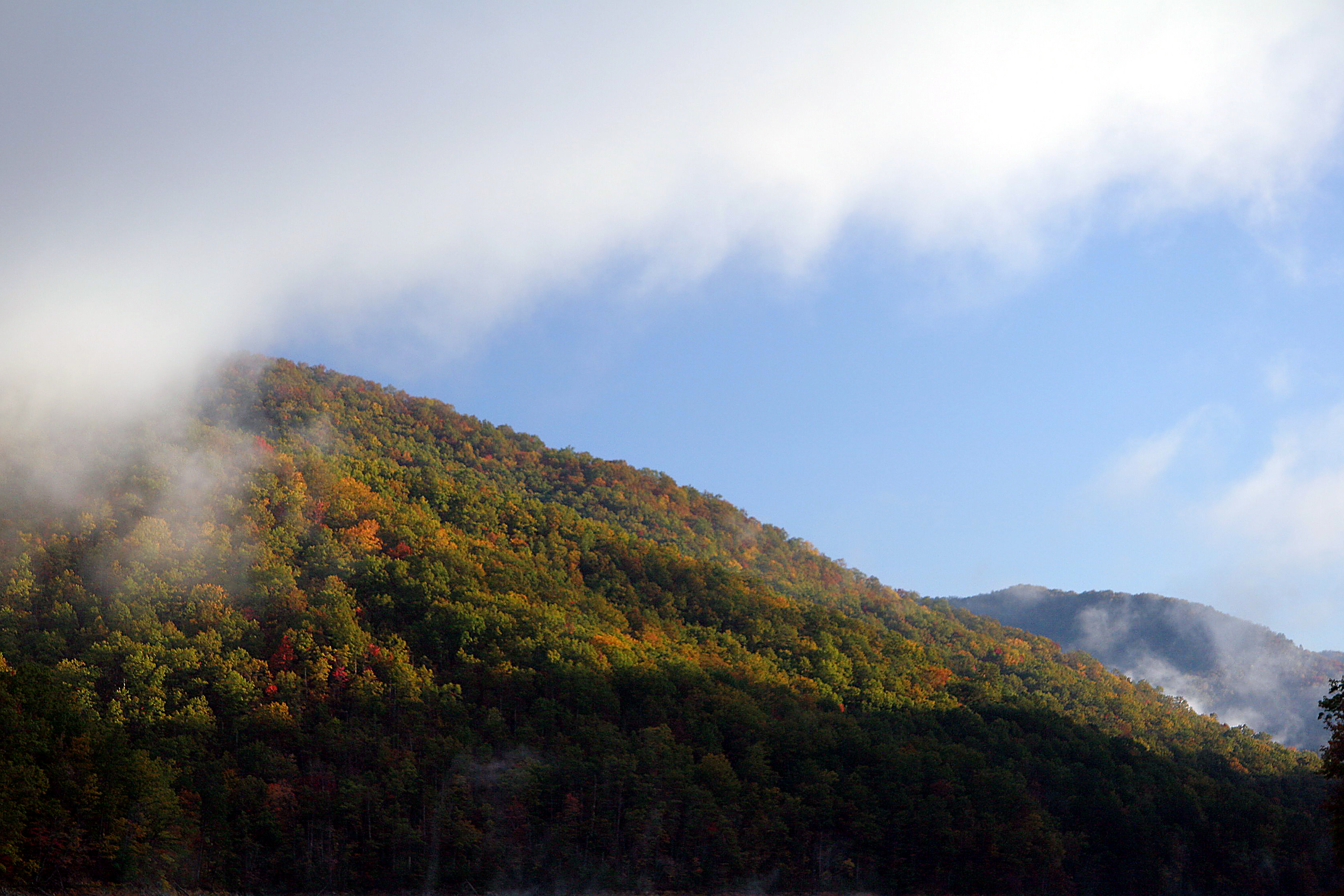
Related Photos:
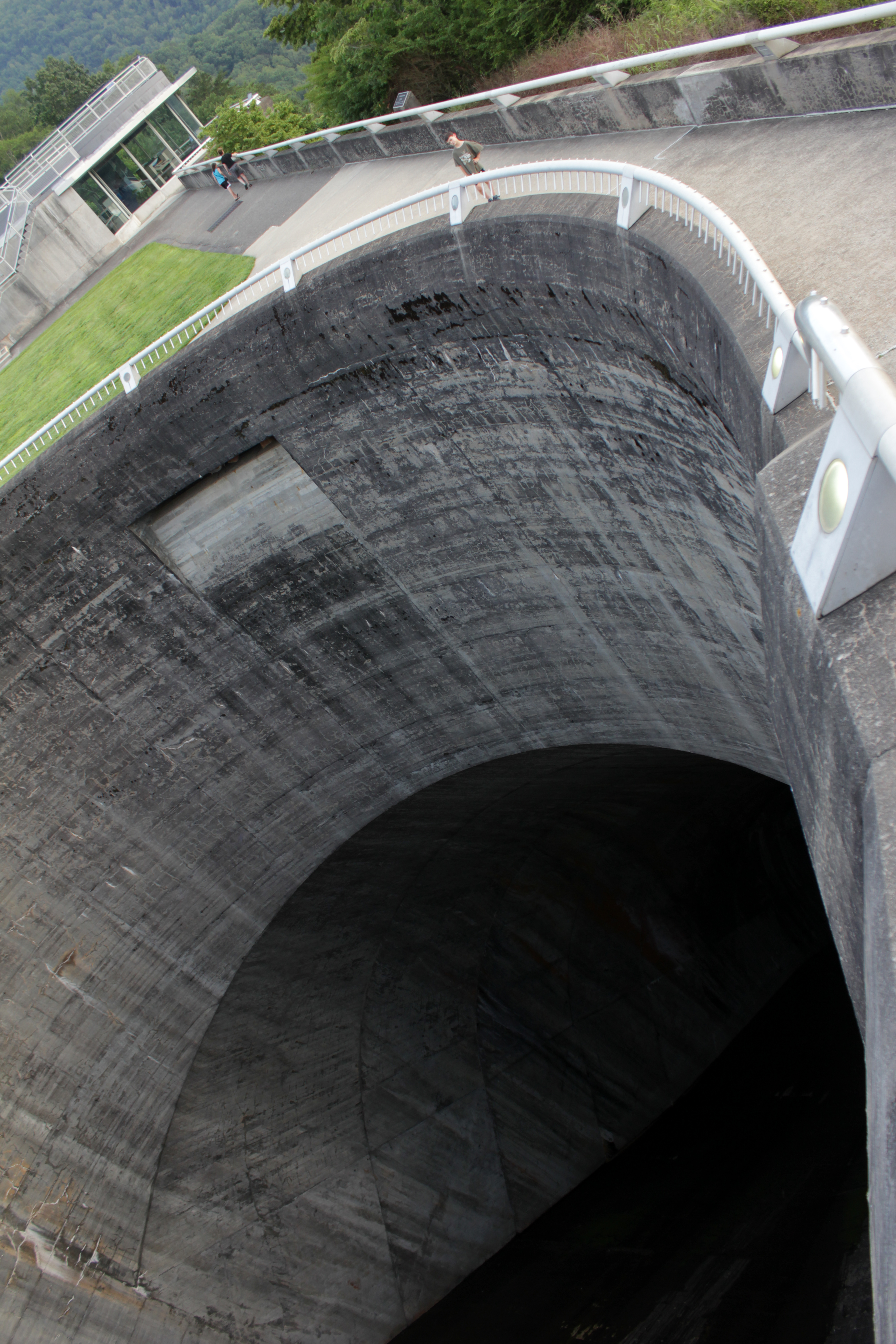
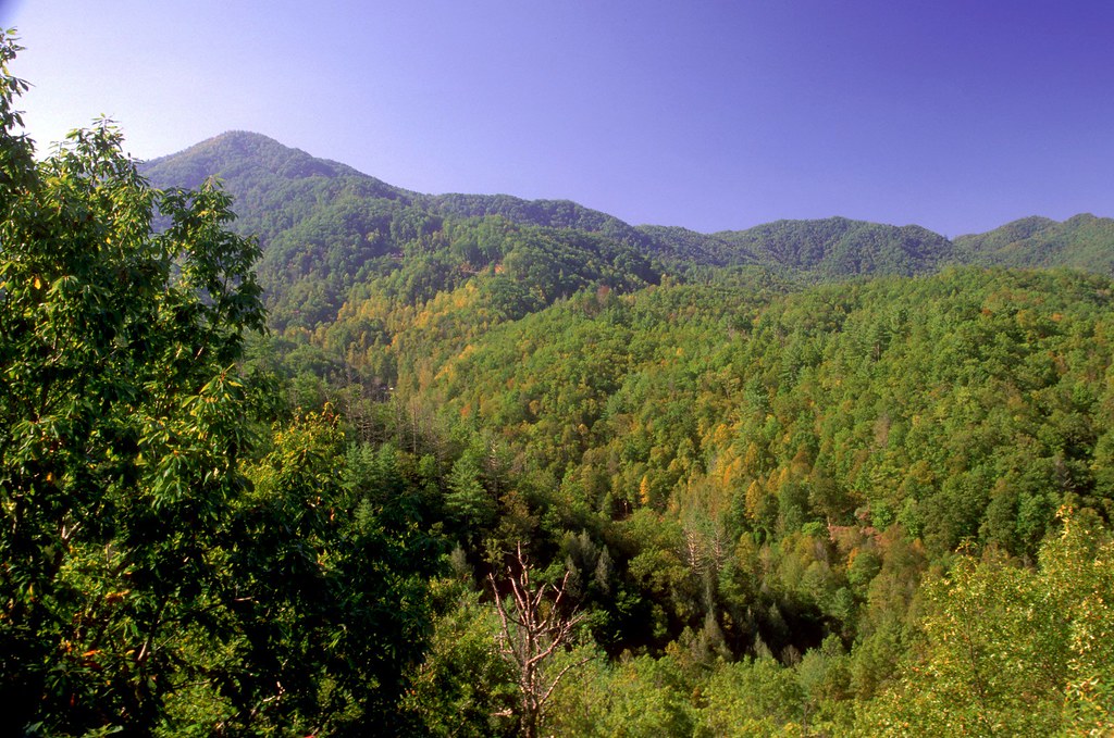
scariest hole in the world: fontana dam spillway
Views from the train
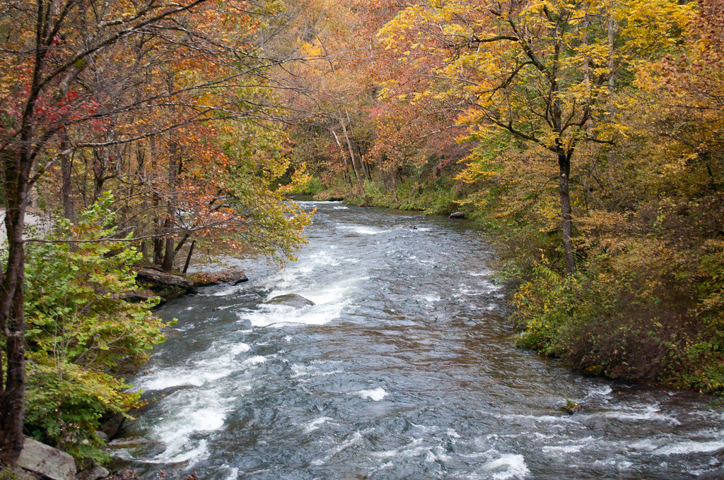
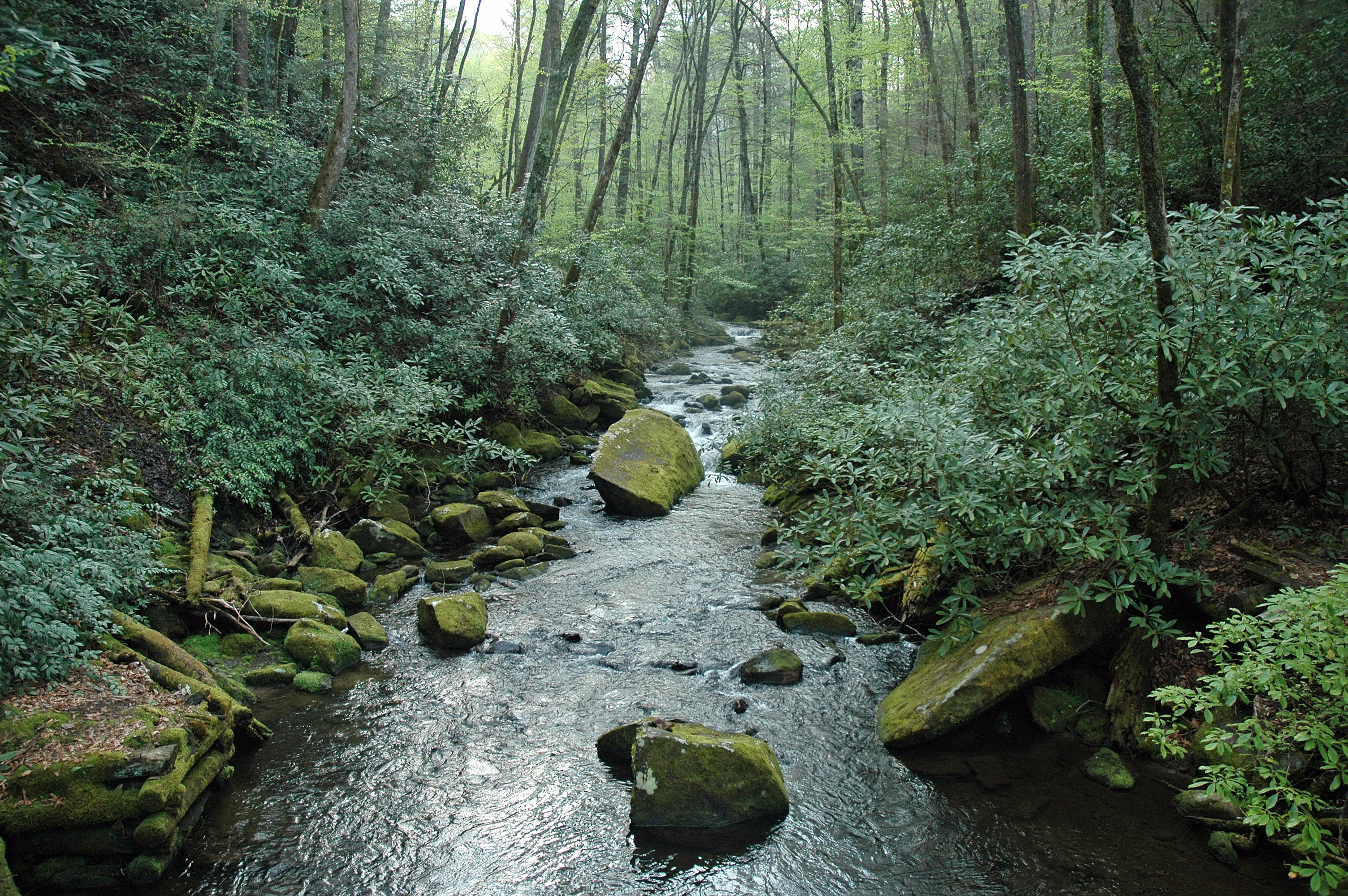
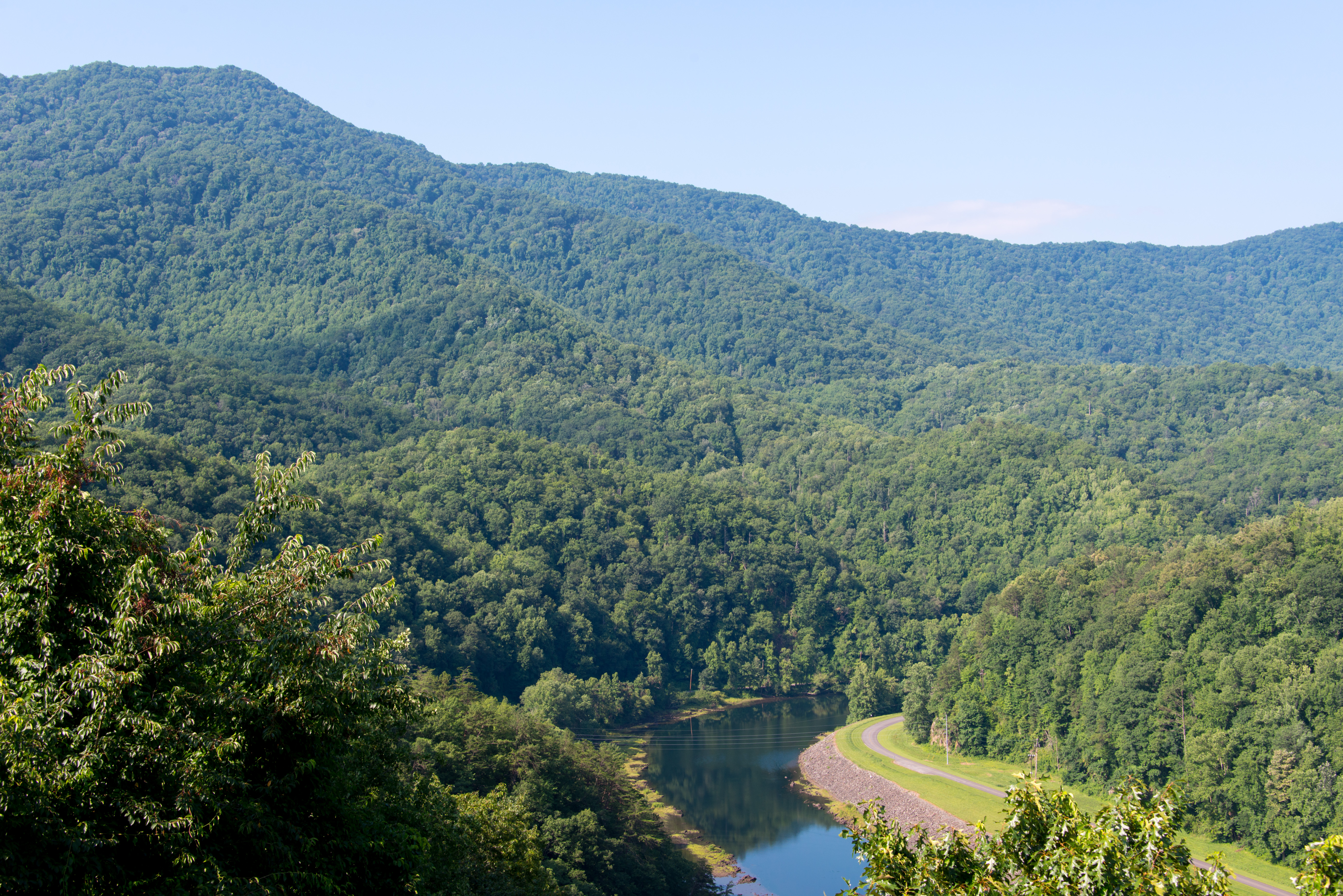
View of the Little Tennessee River
Nantahala River Gorge - Land of the Noon Day Sun
GSMNP Backpack Day 6 - June 28, 2014 - View Downstream of Fontana Dam

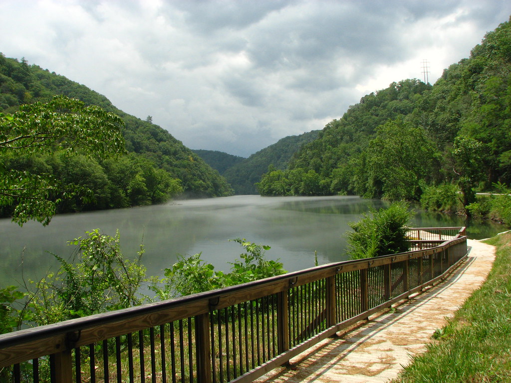
View from the Dam
Back to the Smokies in 33 days and counting

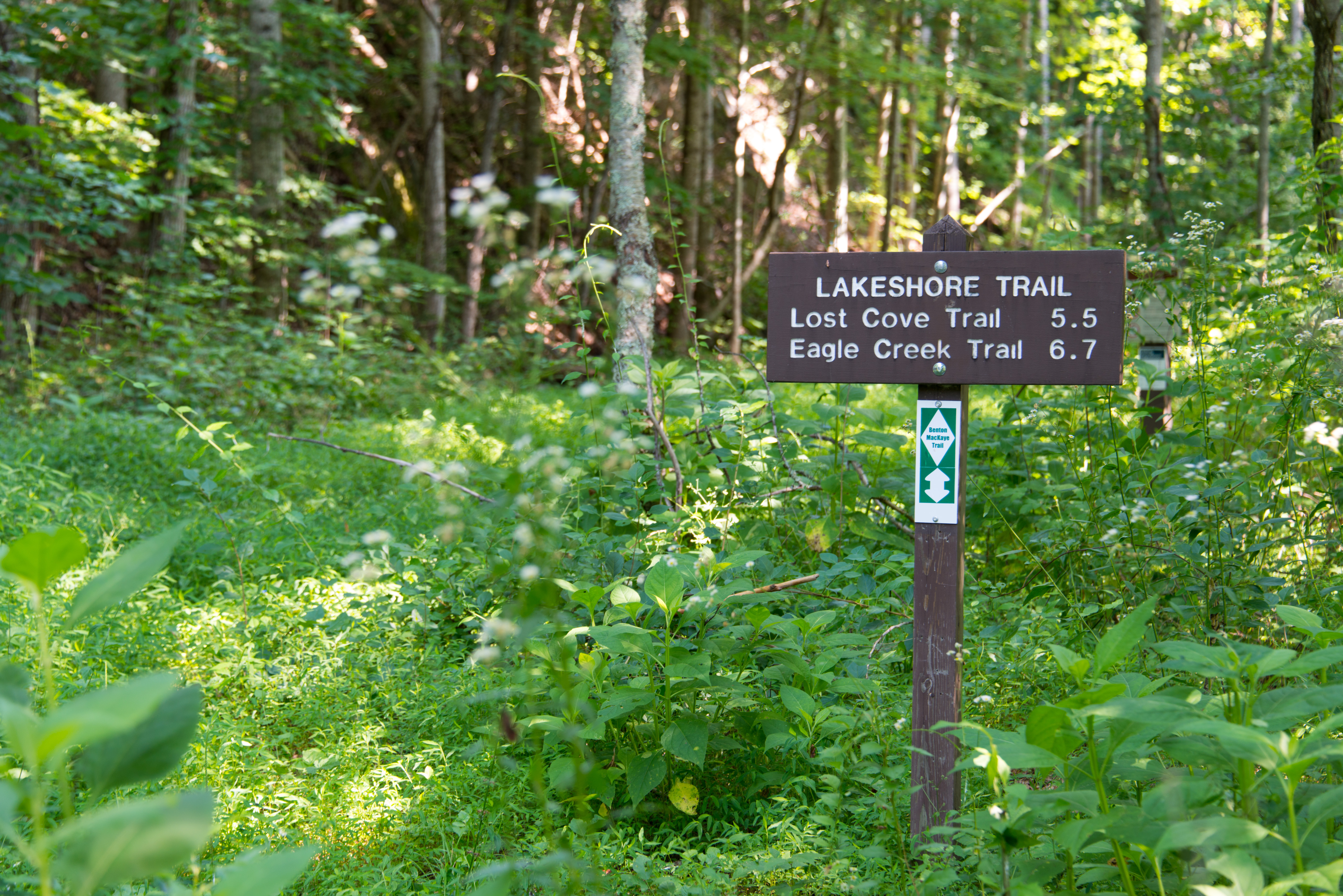
Where the Paths Parted

Our sunset view from the Parsons' cabin in #brysoncity #northcarolina #ttot #nofilter
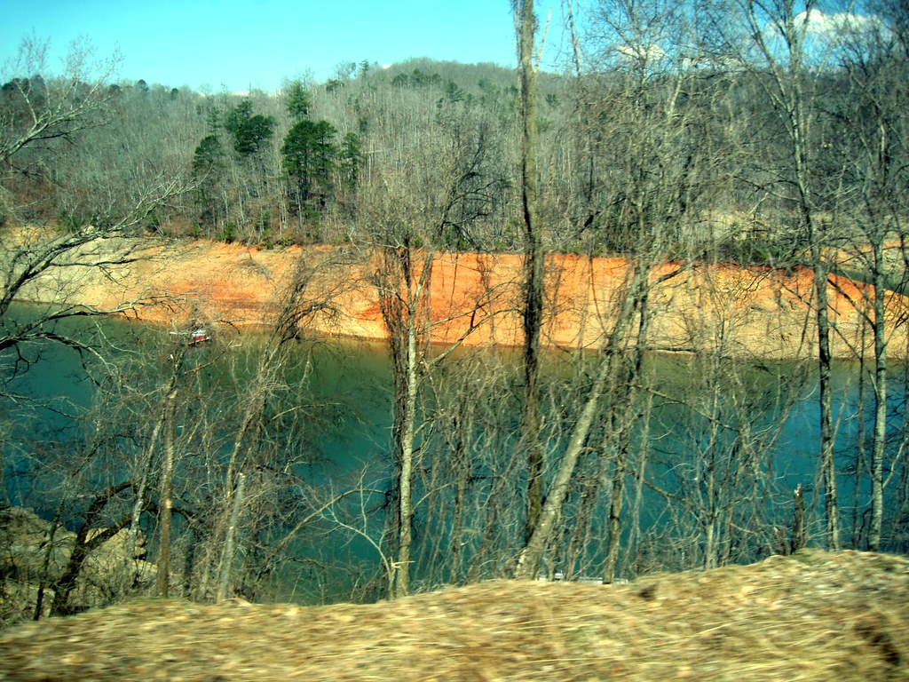
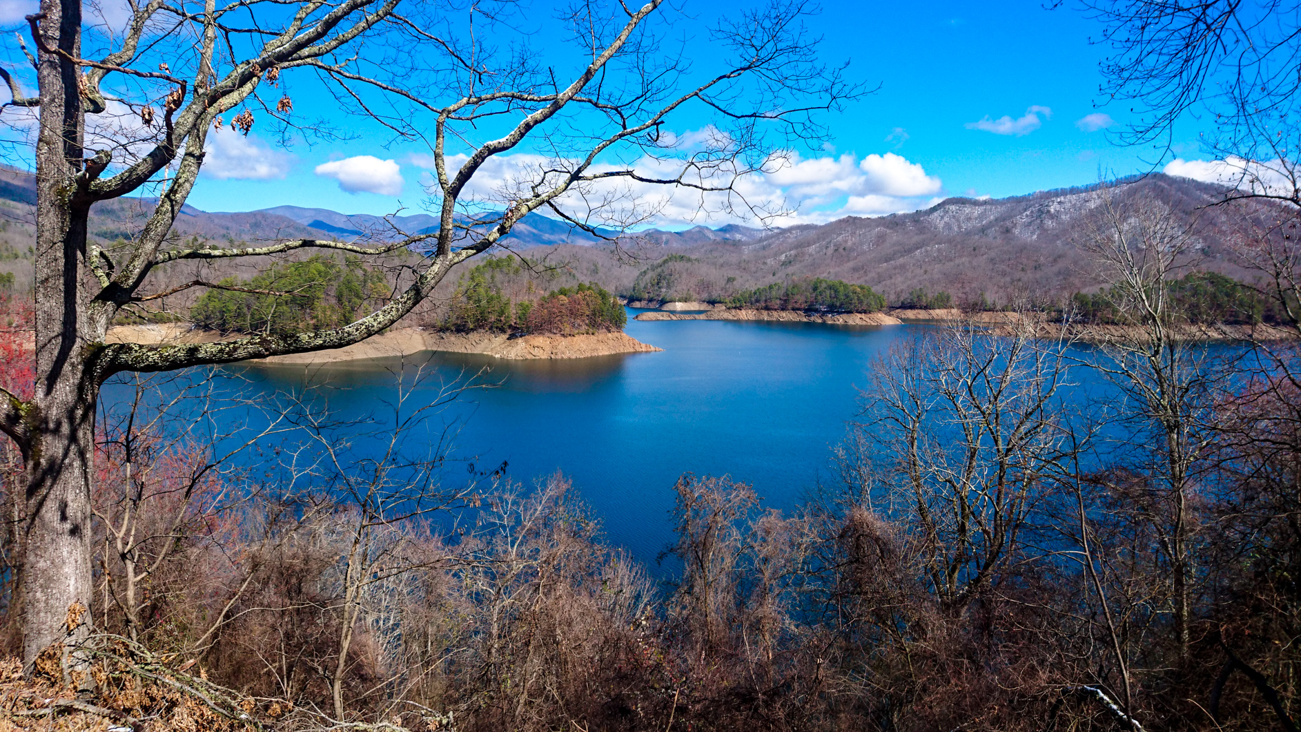
Fontana Lake in Western North Carolina - View From the Train
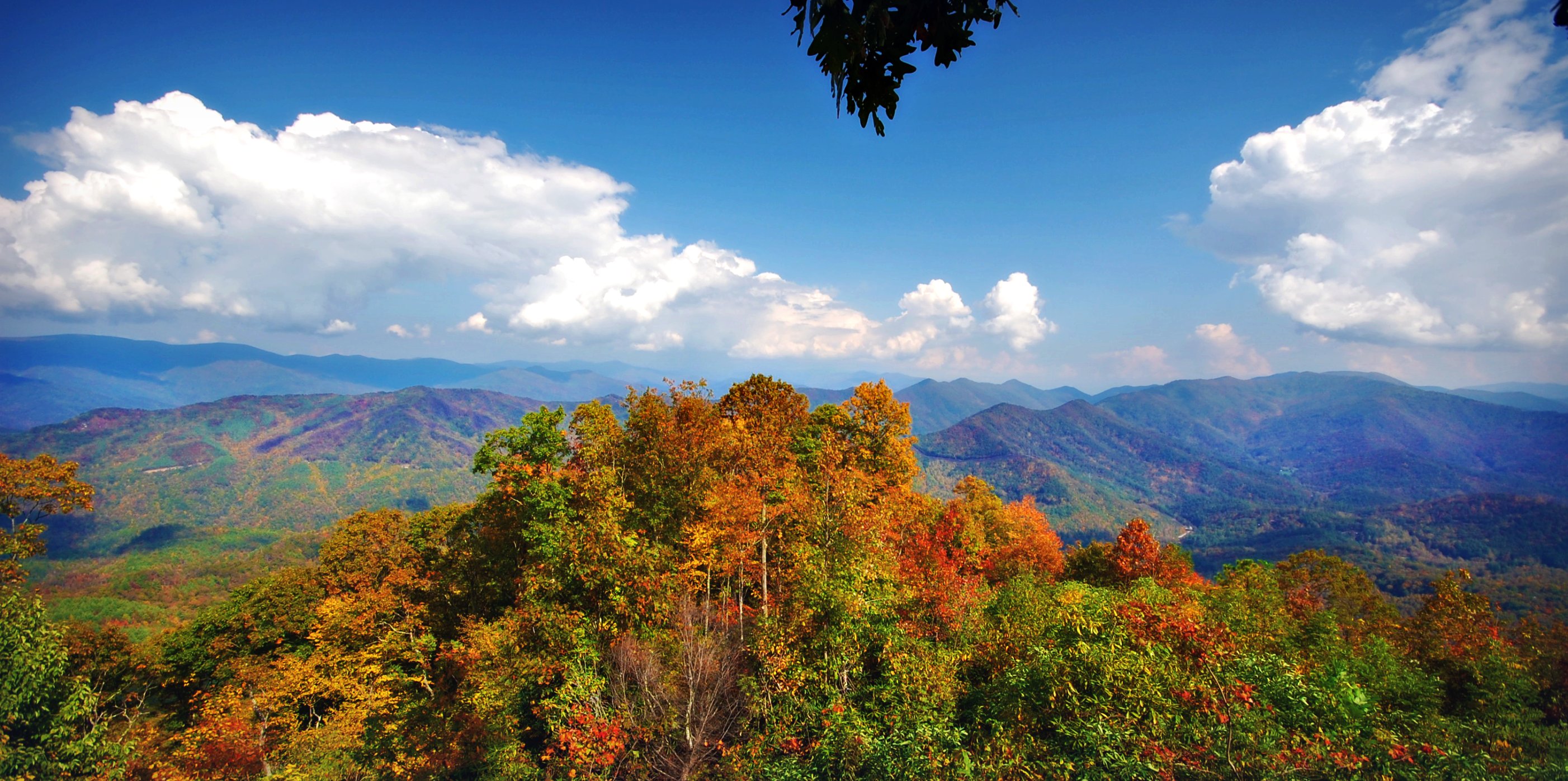
Cheoah Bald

Smokies-20110311-214.jpg
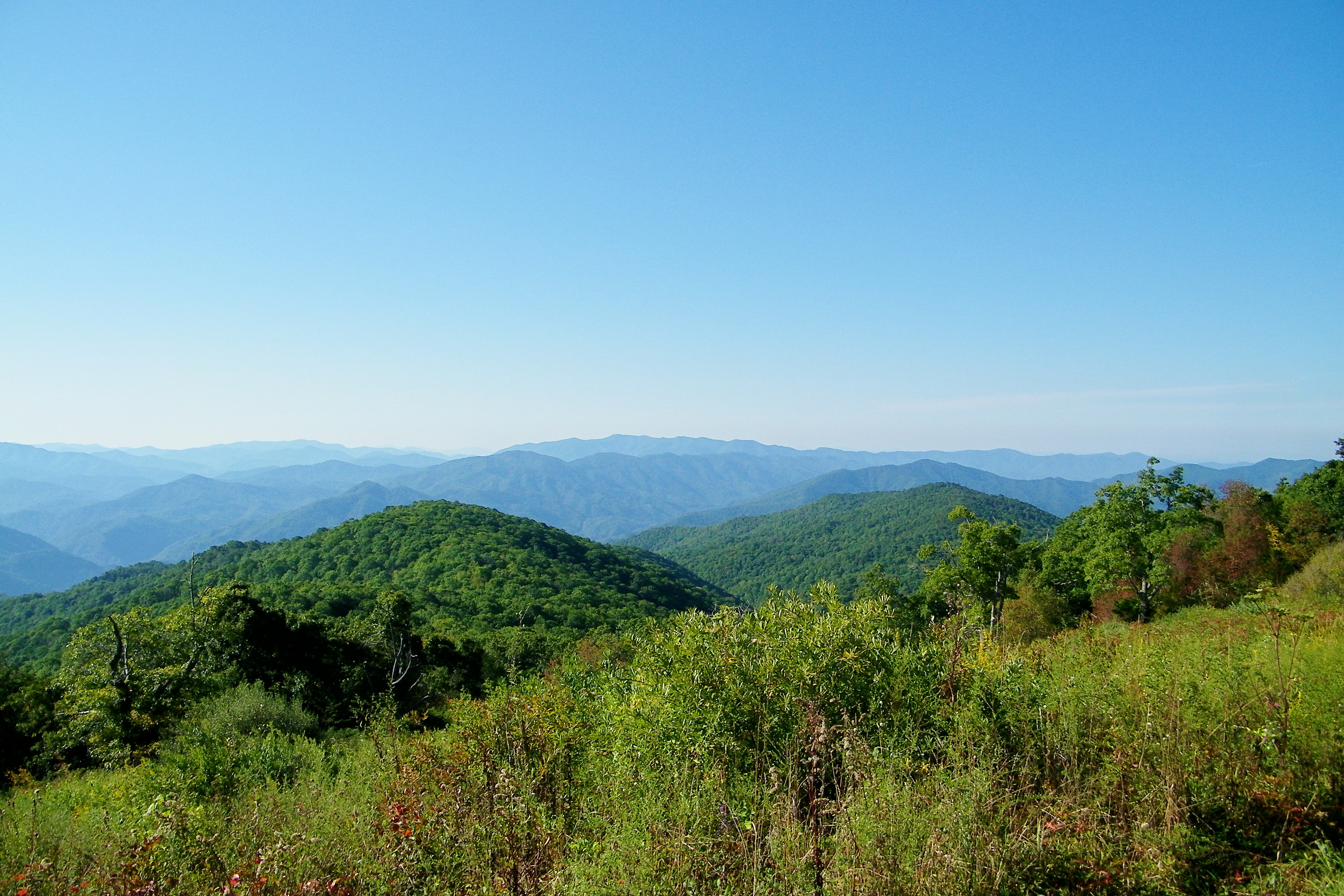
View From Shook Stack
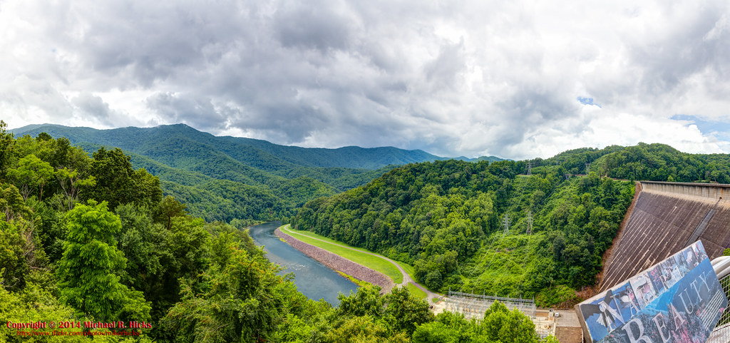
140706-3175 Fontana Dam

First Light

fontana view
view up
smoky mountains
View of Wesser Bald
the sylvan way
140706-3168 Fontana Lake
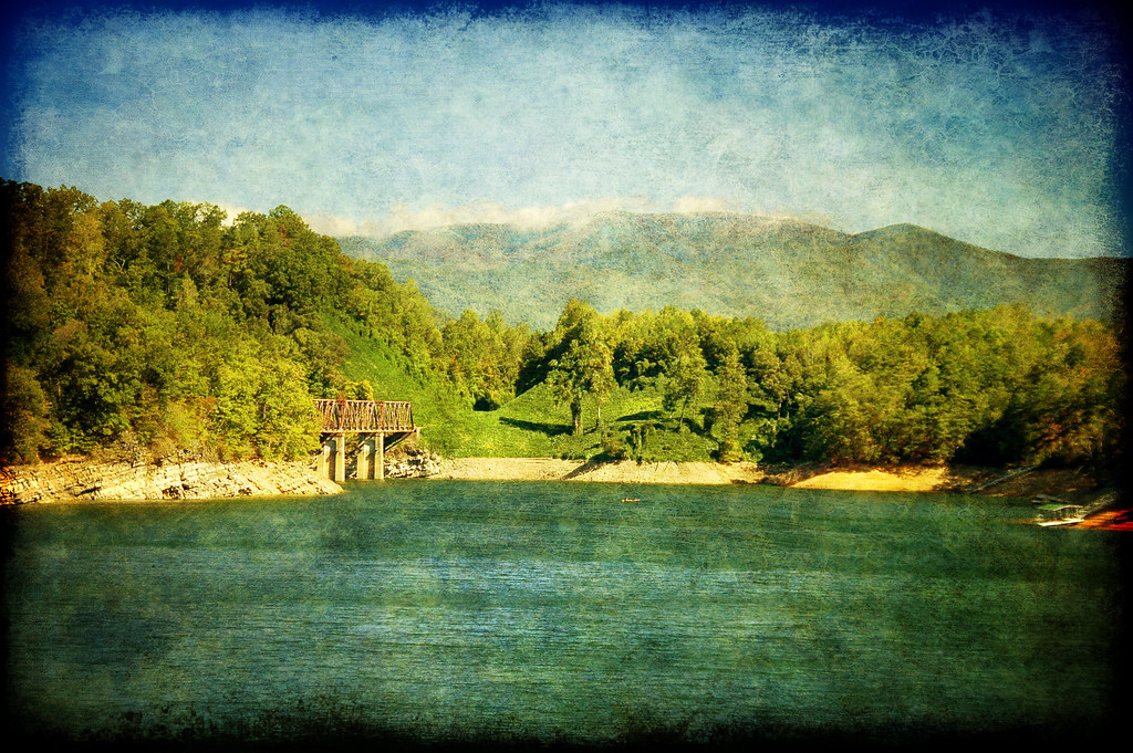
Fontana Dam II
A River's Twilight

One of my Favorite Spots
Into the Woods

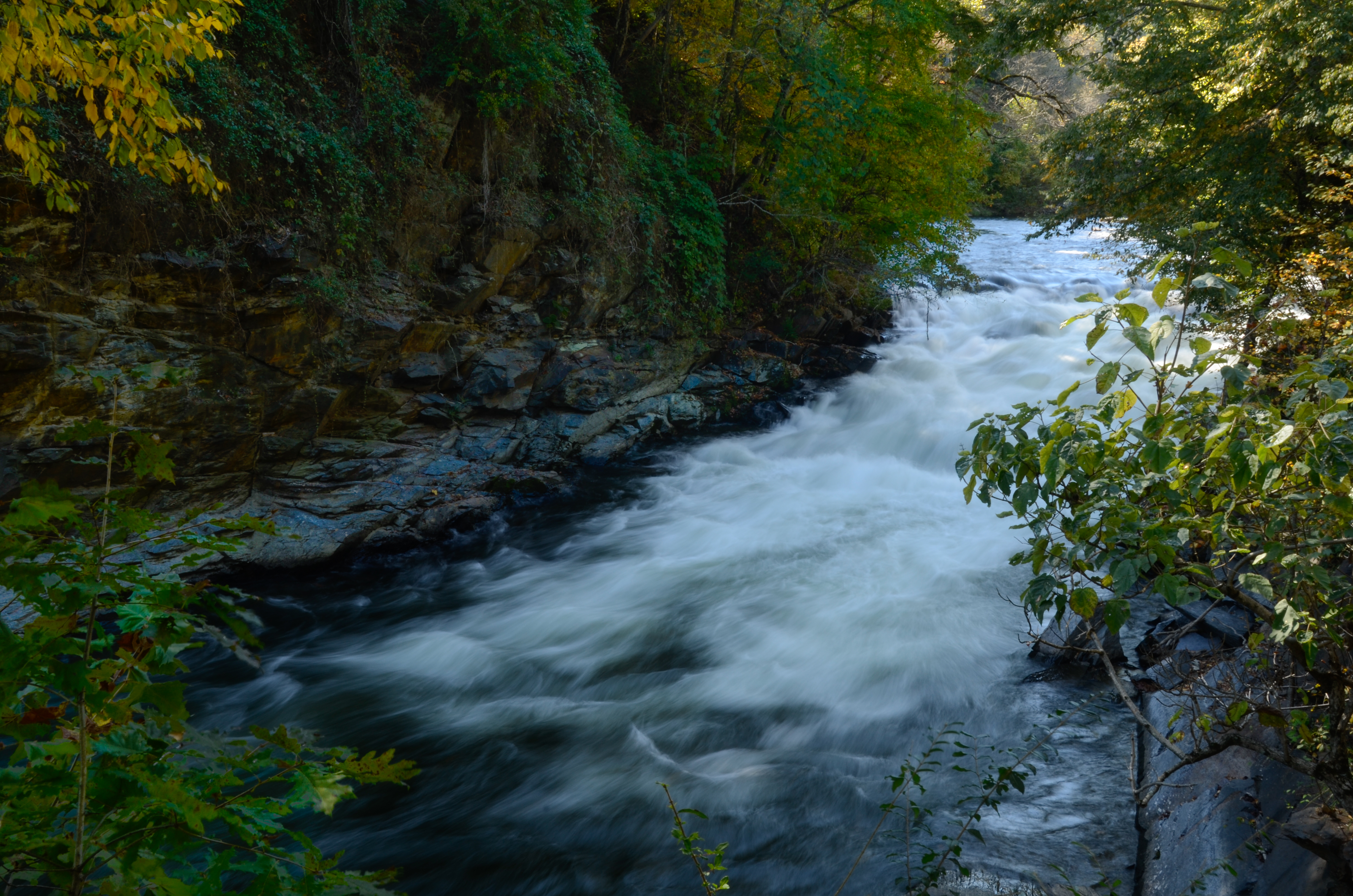
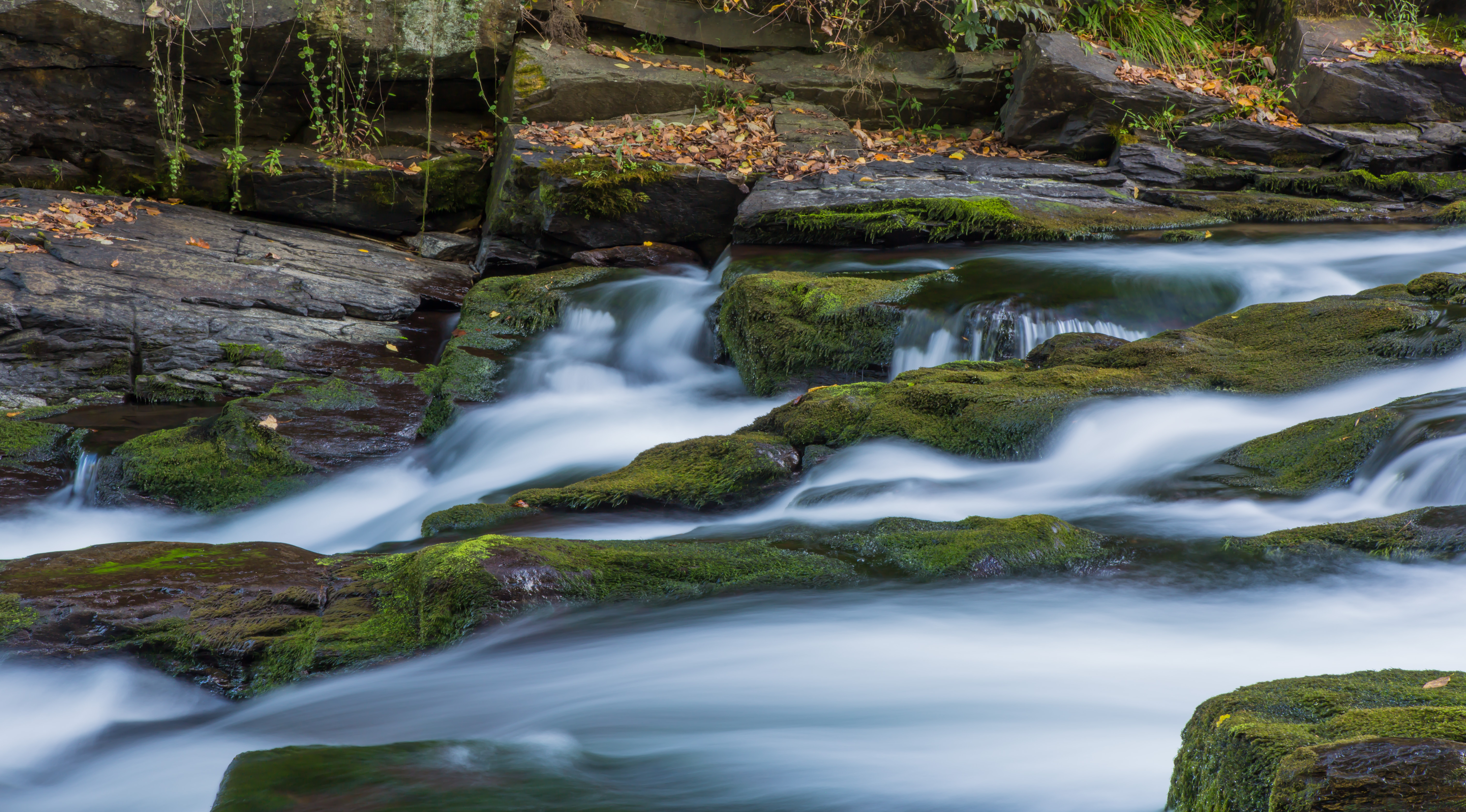
Creek of Fog
GSMNP Backpack Day 6 - June 28, 2014 - Approaching Fontana Dam

Fontana Dam

Graham County Railroad - Topton, North Carolina

Well, this is obviously going to be popular
Fontana Dam Island
Ahhhhh!

Fontana. #northcarolina #nature
140706-3151 Fontana Dam
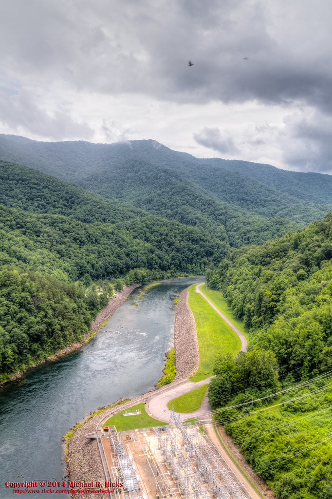
GSMNP Backpack Day 6 - June 28, 2014 - Downstream of Fontana Dam
GSMR Trestle Texture

Graham County Railroad - Robbinsville scale track
Topographic Map of England Bridge, Robbinsville, NC, USA
Find elevation by address:

Places near England Bridge, Robbinsville, NC, USA:
221 Connection Cir
Sweetwater Rd, Robbinsville, NC, USA
712 Mountain Creek Rd
671 Mountain Creek Rd
3975 Mountain Creek Rd
652 Shepherds Creek Rd
4272 Sweetwater Rd
802 Shepherds Creek Rd
348 Orr Bridge
Orr Branch Road
North Beech Creek Road
Robbinsville, NC, USA
Graham County
167 Green Gap Rd
944 Ollies Creek Rd
941 Ollies Creek Rd
1160 Samcove Rd
701 Golf Course Cir
1605 Cherohala Skyway
300 Steve Dr
Recent Searches:
- Elevation of 4655, Krischke Road, Schulenburg, Fayette County, Texas, 78956, USA
- Elevation of Carnegie Avenue, Downtown Cleveland, Cleveland, Cuyahoga County, Ohio, 44115, USA
- Elevation of Walhonding, Coshocton County, Ohio, USA
- Elevation of Clifton Down, Clifton, Bristol, City of Bristol, England, BS8 3HU, United Kingdom
- Elevation map of Auvergne-Rhône-Alpes, France
- Elevation map of Upper Savoy, Auvergne-Rhône-Alpes, France
- Elevation of Chamonix-Mont-Blanc, Upper Savoy, Auvergne-Rhône-Alpes, France
- Elevation of 908, Northwood Drive, Bridge Field, Chesapeake, Virginia, 23322, USA
- Elevation map of Nagano Prefecture, Japan
- Elevation of 587, Bascule Drive, Oakdale, Stanislaus County, California, 95361, USA
- Elevation of Stadion Wankdorf, Sempachstrasse, Breitfeld, Bern, Bern-Mittelland administrative district, Bern, 3014, Switzerland
- Elevation of Z024, 76, Emil-von-Behring-Straße, Marbach, Marburg, Landkreis Marburg-Biedenkopf, Hesse, 35041, Germany
- Elevation of Gaskill Road, Hunts Cross, Liverpool, England, L24 9PH, United Kingdom
- Elevation of Speke, Liverpool, England, L24 9HD, United Kingdom
- Elevation of Seqirus, 475, Green Oaks Parkway, Holly Springs, Wake County, North Carolina, 27540, USA
- Elevation of Pasing, Munich, Bavaria, 81241, Germany
- Elevation of 24, Auburn Bay Crescent SE, Auburn Bay, Calgary, Alberta, T3M 0A6, Canada
- Elevation of Denver, 2314, Arapahoe Street, Five Points, Denver, Colorado, 80205, USA
- Elevation of Community of the Beatitudes, 2924, West 43rd Avenue, Sunnyside, Denver, Colorado, 80211, USA
- Elevation map of Litang County, Sichuan, China