Elevation of Elmira Township, IL, USA
Location: United States > Illinois > Stark County >
Longitude: -89.7942892
Latitude: 41.1801944
Elevation: 222m / 728feet
Barometric Pressure: 0KPa
Related Photos:
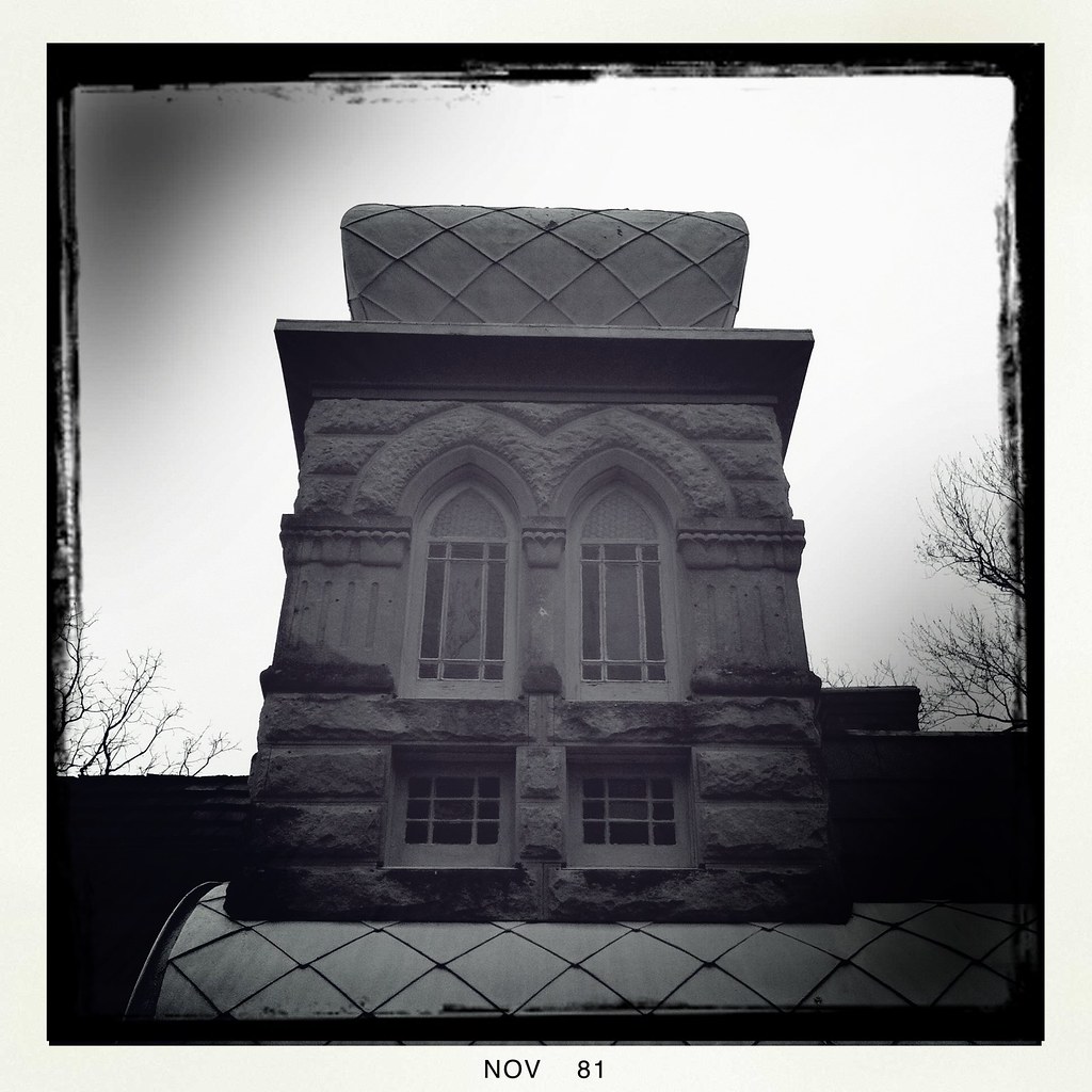
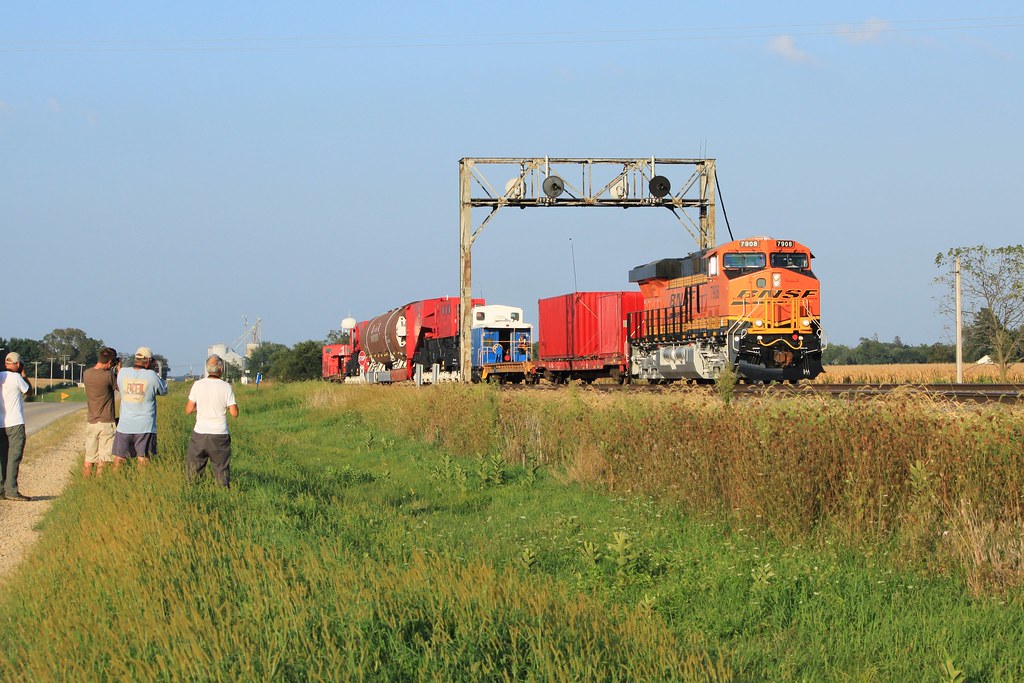
Francis Park No. 2

Kewanee No. 31
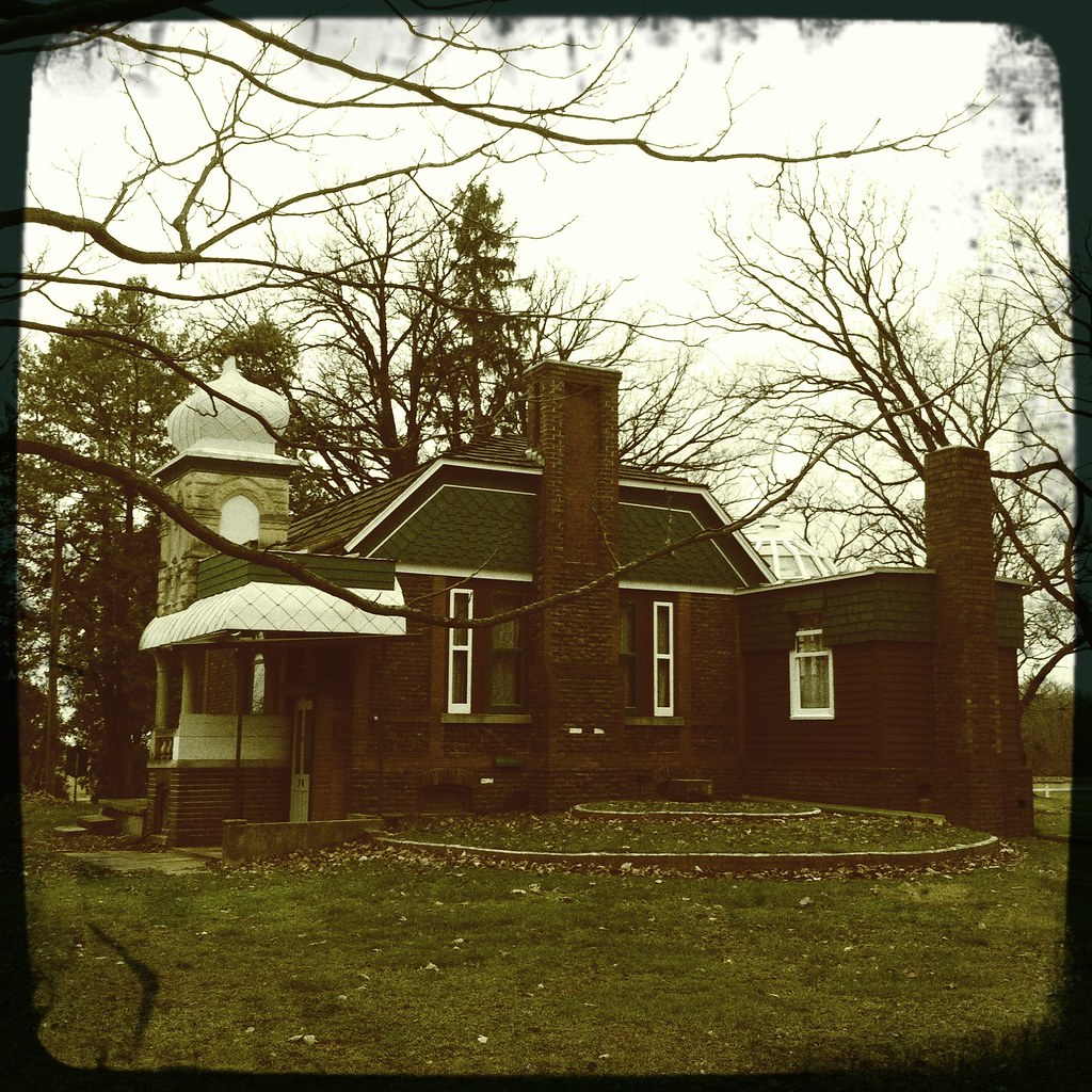
Francis Park No. 3
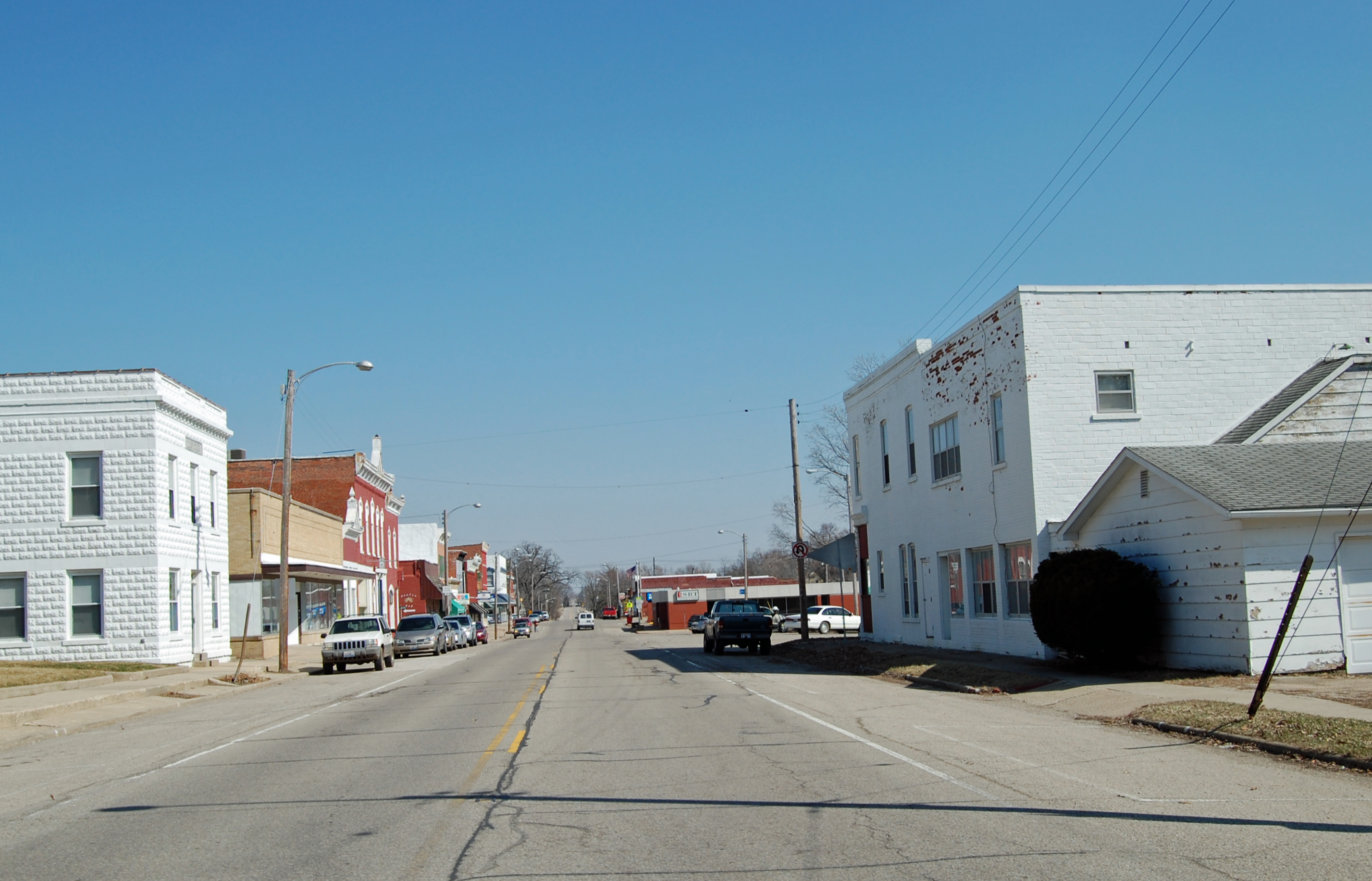
Toulon - Main St.
Gate hinge

Inspiration, Move Me Brightly
Horses are for viewing only.
RI038219.JPG
2010-08-14 19.46.51

Kewanee No. 24

RI038218.JPG
Down the Hill
"Get the hell down from there!"
Neponset No. 1
-Landscape

2010-08-14 19.46.32

Dragonfly & Queen Anne's Lace

2010-08-14 19.46.17
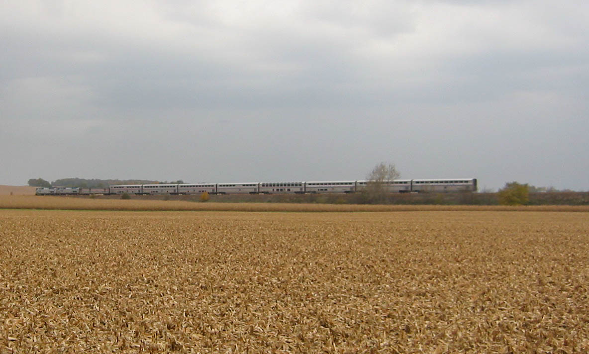
20061021 22 Amtrak, Buda, IL
Topographic Map of Elmira Township, IL, USA
Find elevation by address:

Places in Elmira Township, IL, USA:
Places near Elmira Township, IL, USA:
IL-93, Toulon, IL, USA
Neponset Township
Toulon Township
Toulon Township
Toulon Township
Toulon Township
Toulon Township
Toulon Township
Toulon Township
Toulon Township
Stark County
Stark County
Stark County
Stark County
Stark County
Stark County
Stark County
Stark County
Stark County
Stark County
Recent Searches:
- Elevation map of Greenland, Greenland
- Elevation of Sullivan Hill, New York, New York, 10002, USA
- Elevation of Morehead Road, Withrow Downs, Charlotte, Mecklenburg County, North Carolina, 28262, USA
- Elevation of 2800, Morehead Road, Withrow Downs, Charlotte, Mecklenburg County, North Carolina, 28262, USA
- Elevation of Yangbi Yi Autonomous County, Yunnan, China
- Elevation of Pingpo, Yangbi Yi Autonomous County, Yunnan, China
- Elevation of Mount Malong, Pingpo, Yangbi Yi Autonomous County, Yunnan, China
- Elevation map of Yongping County, Yunnan, China
- Elevation of North 8th Street, Palatka, Putnam County, Florida, 32177, USA
- Elevation of 107, Big Apple Road, East Palatka, Putnam County, Florida, 32131, USA
- Elevation of Jiezi, Chongzhou City, Sichuan, China
- Elevation of Chongzhou City, Sichuan, China
- Elevation of Huaiyuan, Chongzhou City, Sichuan, China
- Elevation of Qingxia, Chengdu, Sichuan, China
- Elevation of Corso Fratelli Cairoli, 35, Macerata MC, Italy
- Elevation of Tallevast Rd, Sarasota, FL, USA
- Elevation of 4th St E, Sonoma, CA, USA
- Elevation of Black Hollow Rd, Pennsdale, PA, USA
- Elevation of Oakland Ave, Williamsport, PA, USA
- Elevation of Pedrógão Grande, Portugal