Elevation of Ellenville, NY, USA
Location: United States > New York > Ulster County > Wawarsing >
Longitude: -74.395709
Latitude: 41.7170379
Elevation: 101m / 331feet
Barometric Pressure: 100KPa
Elevation Map:
Satellite Map:
Related Photos:
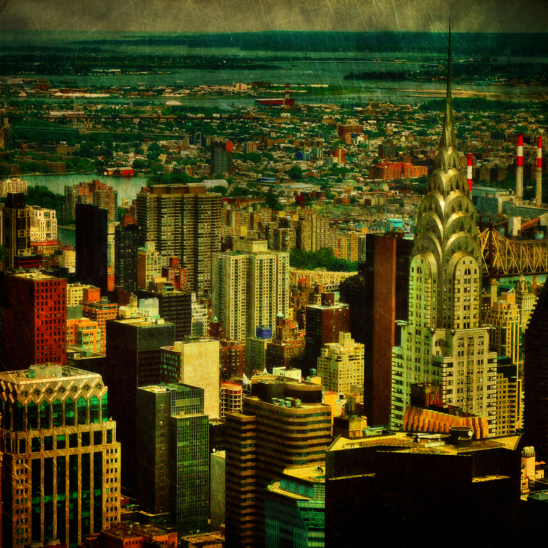
The colors of Manhattan
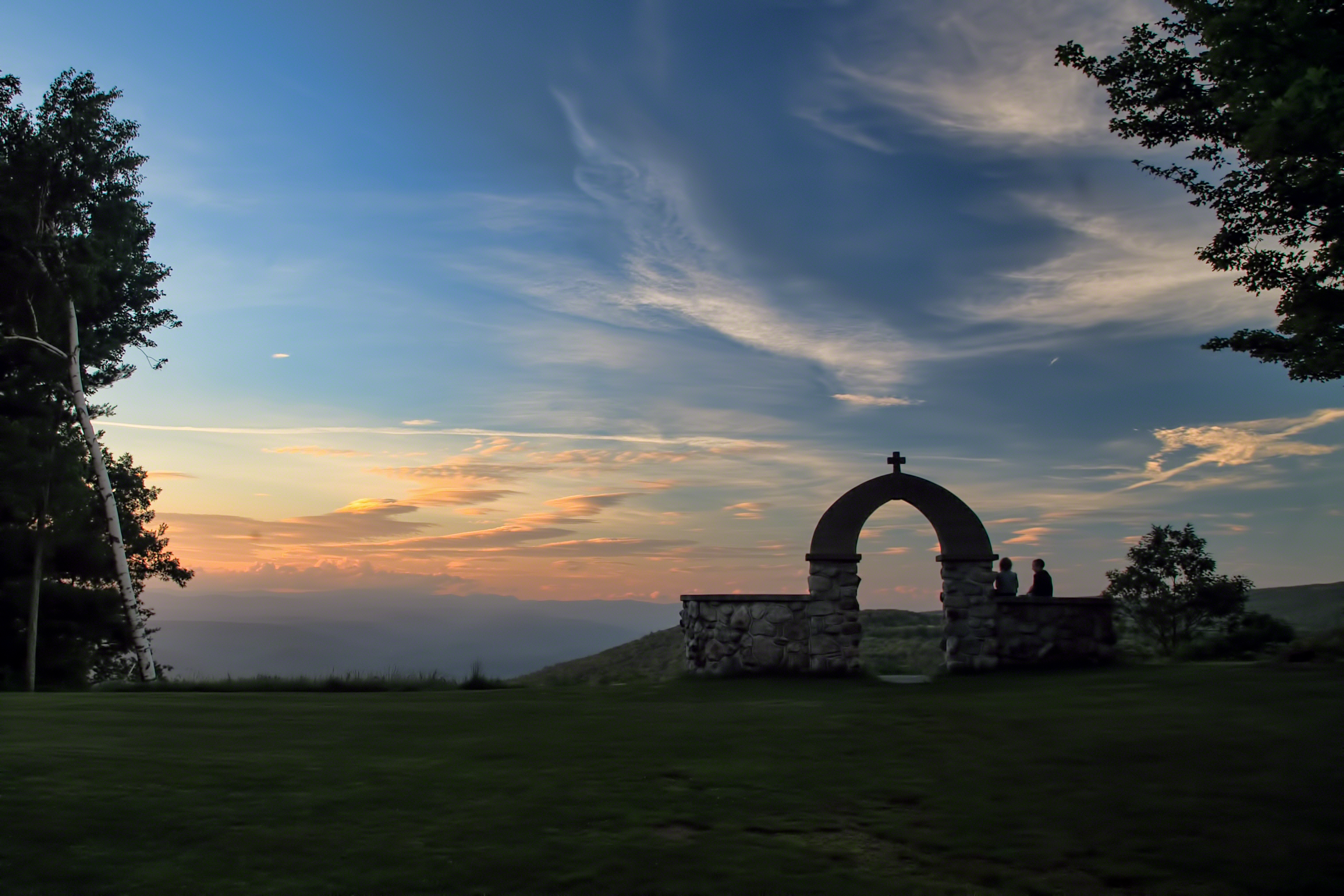
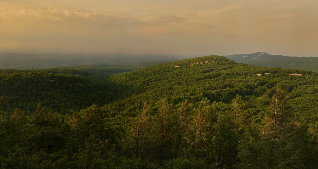
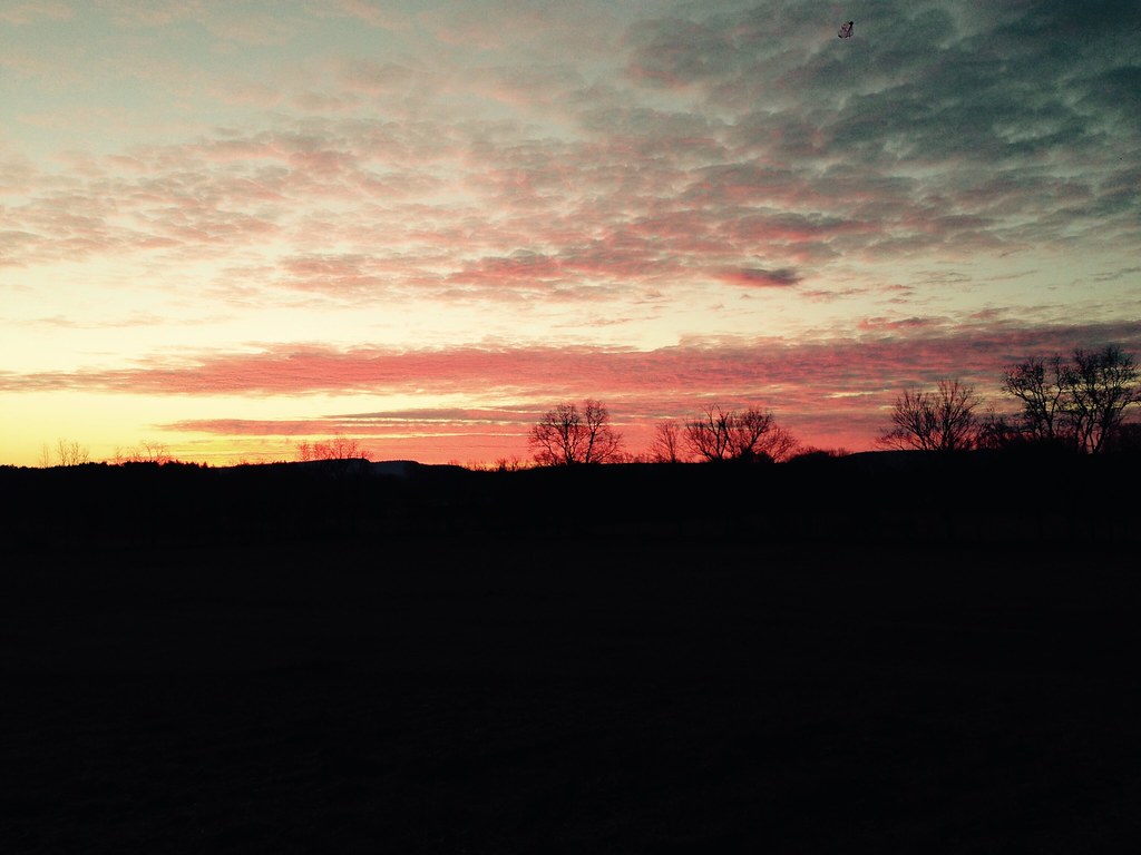
Mountain Sunset
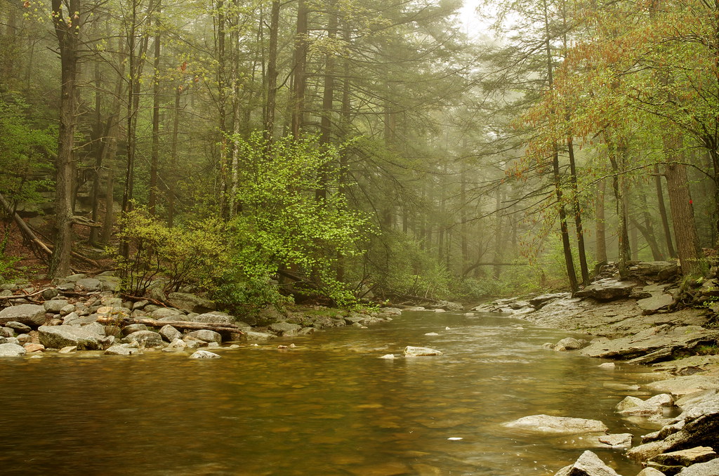
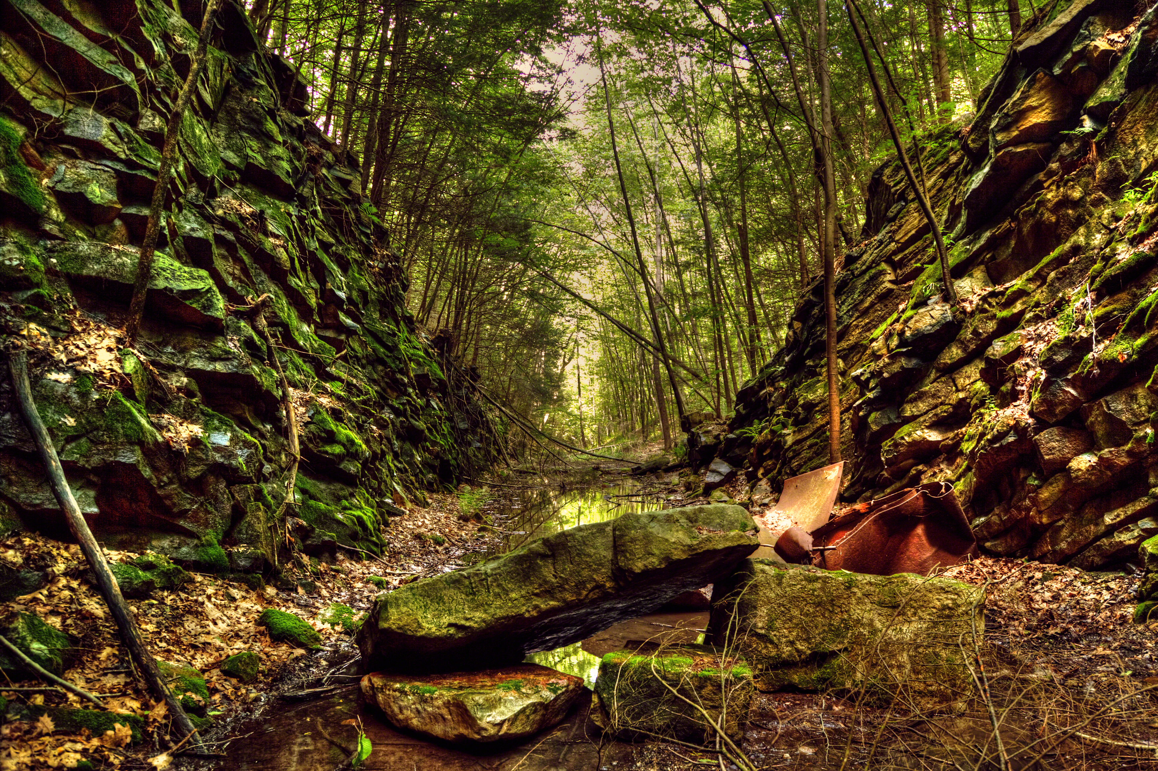
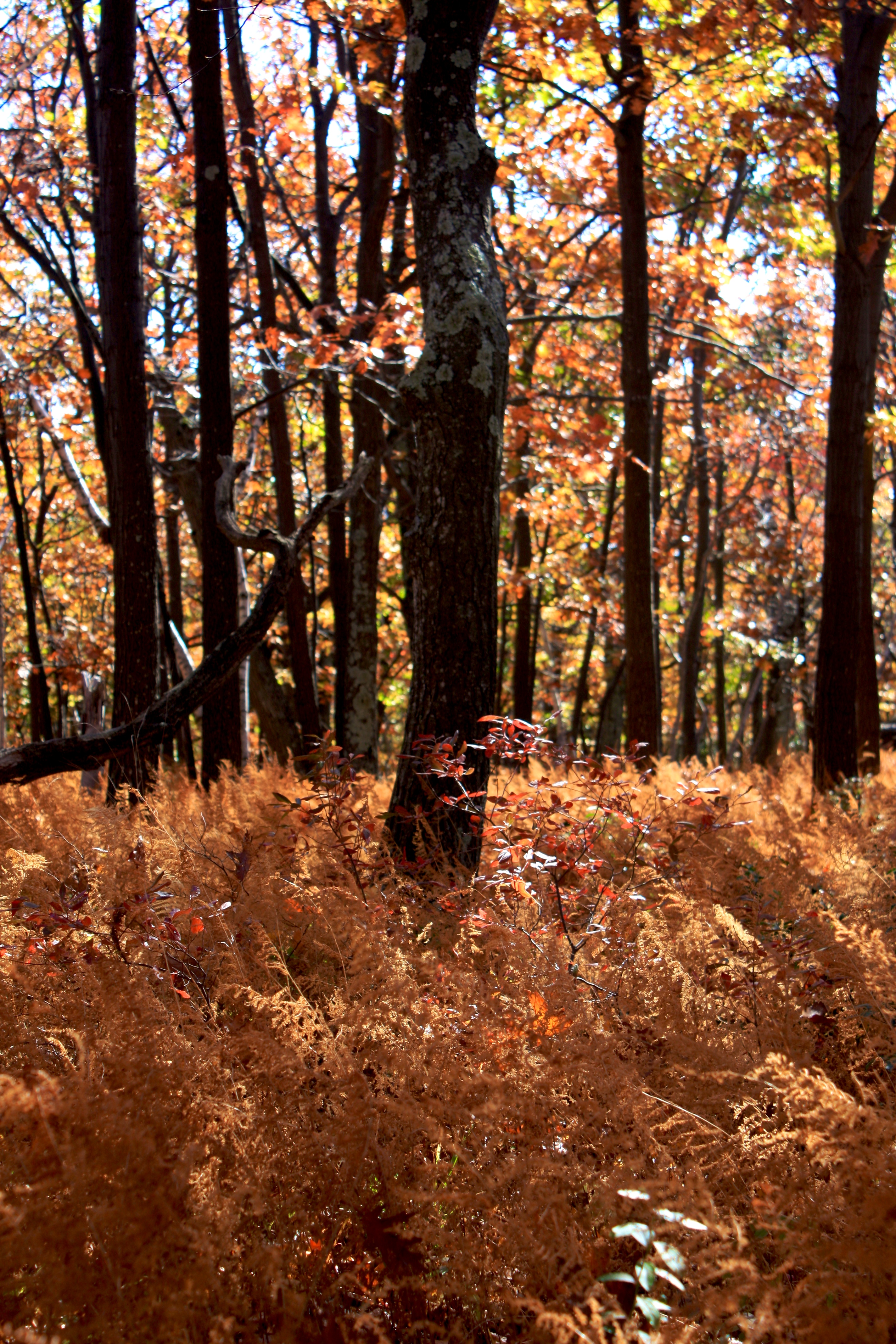
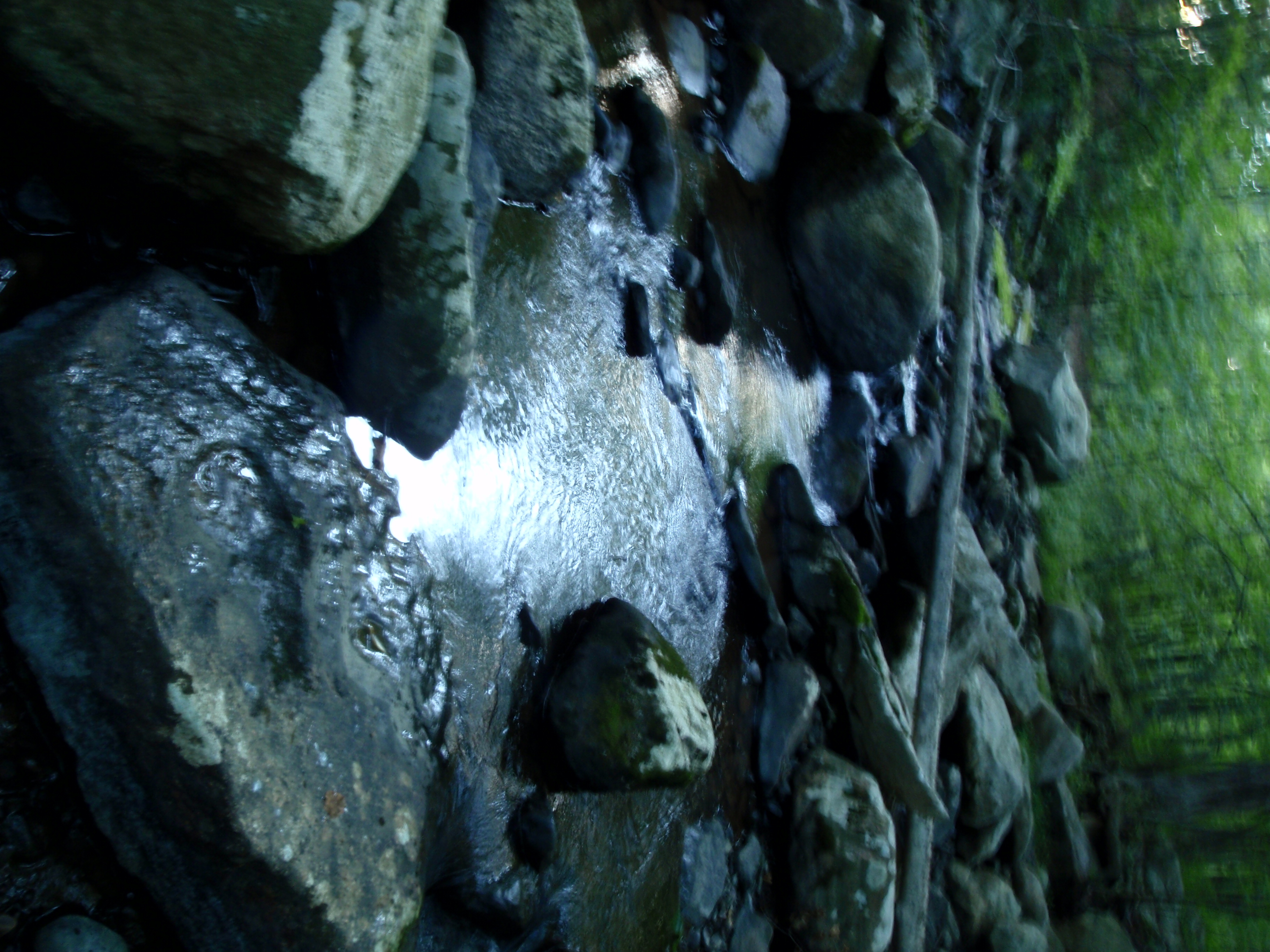
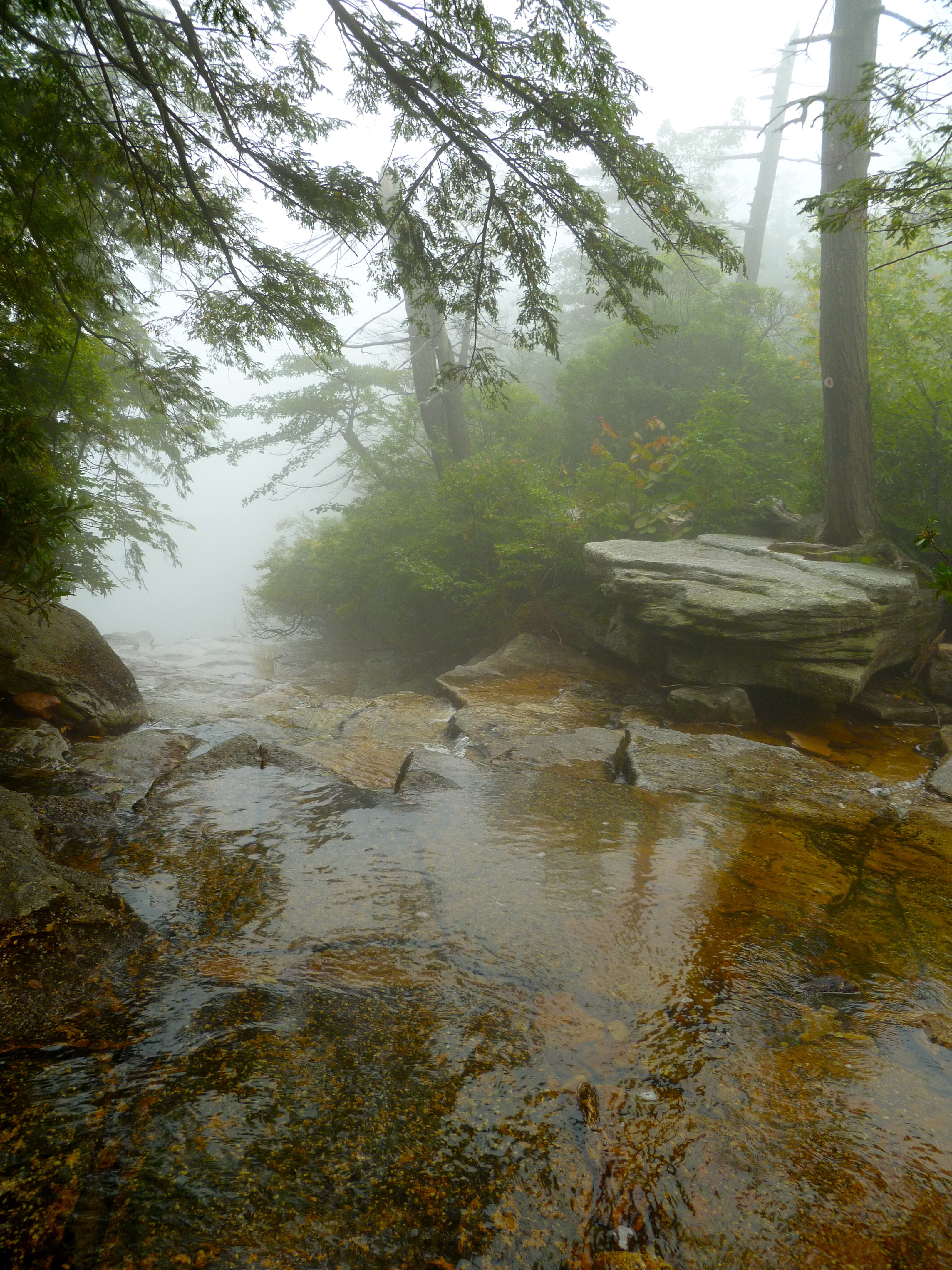
River in the Woods
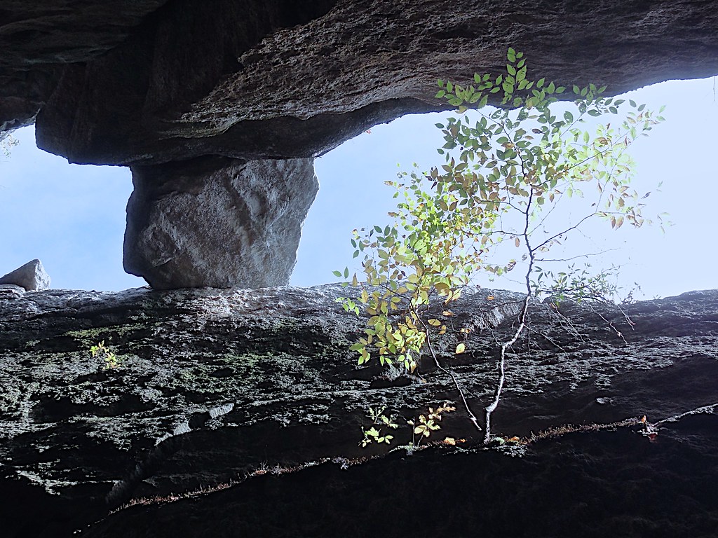
Slot Perspective
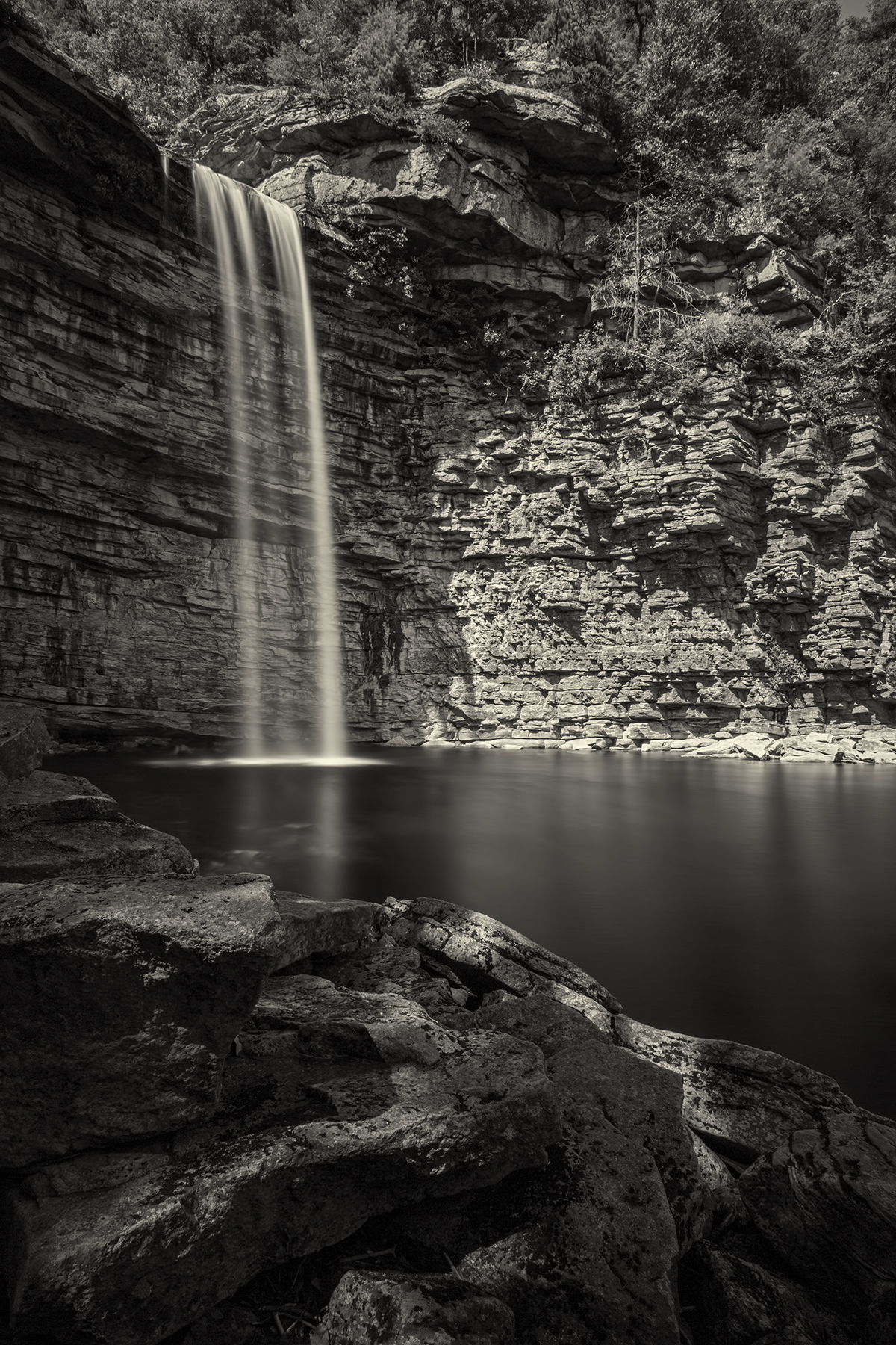
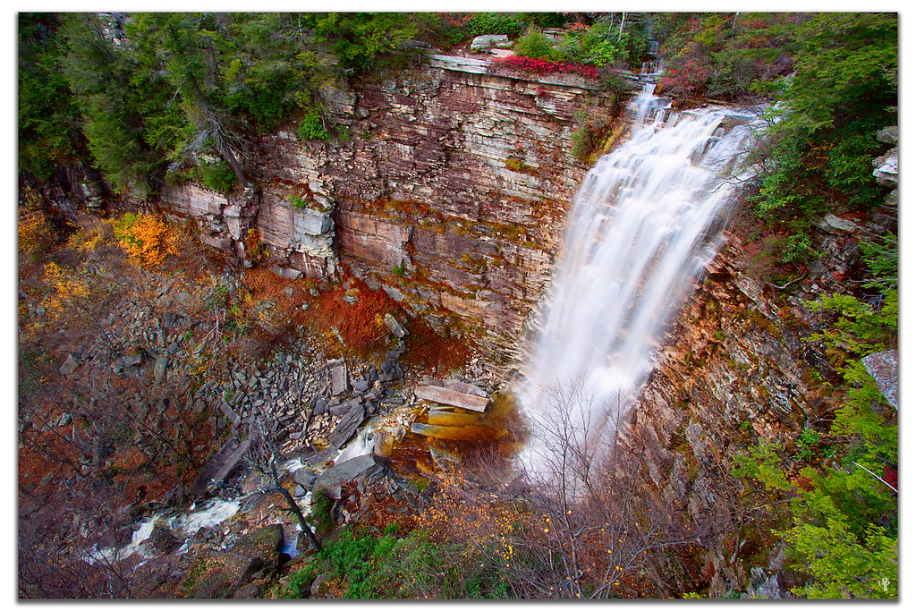
Awosting Falls
Remnants of an Abandoned Railroad
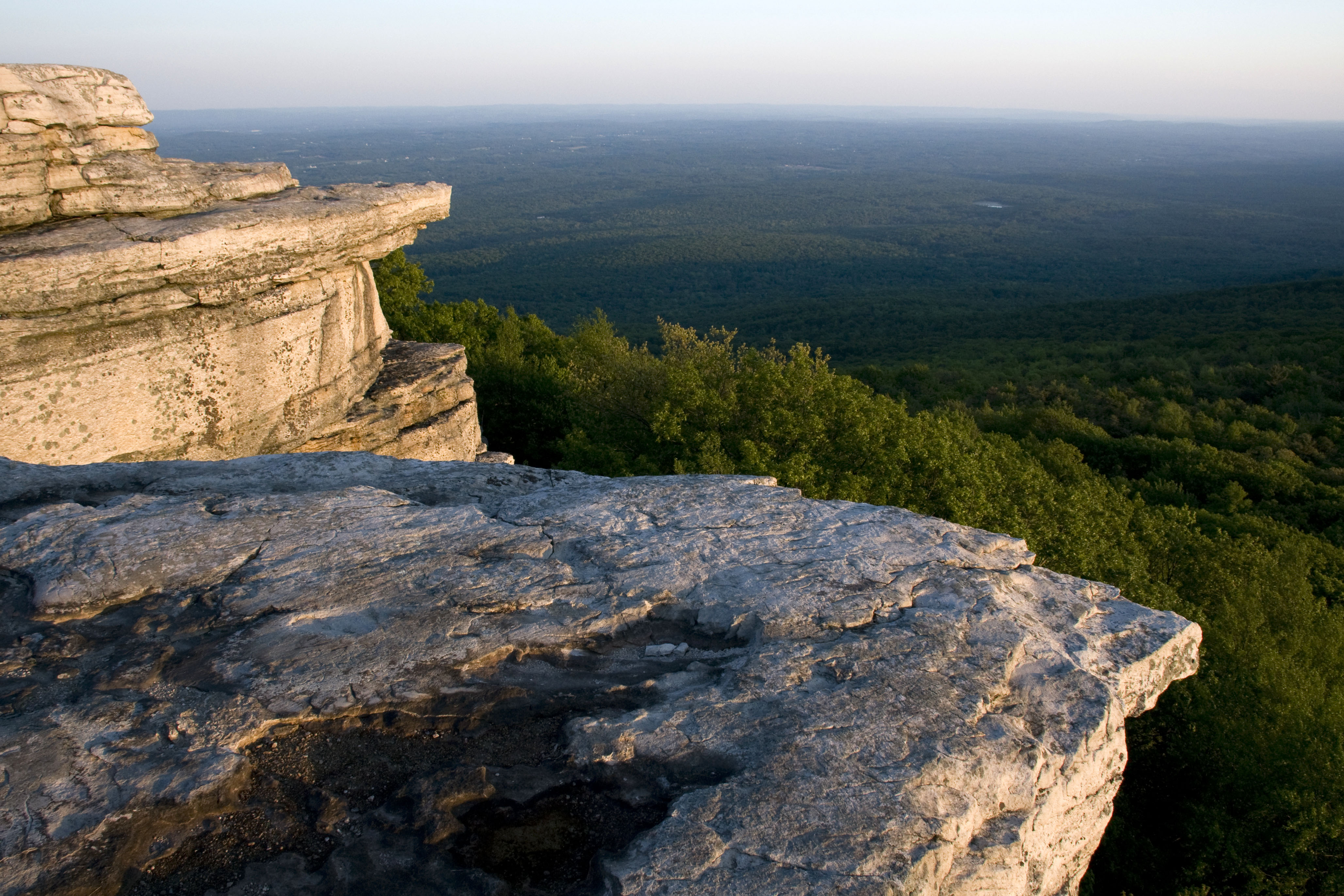
Hamilton Point
Abandoned but not forgotten by the light
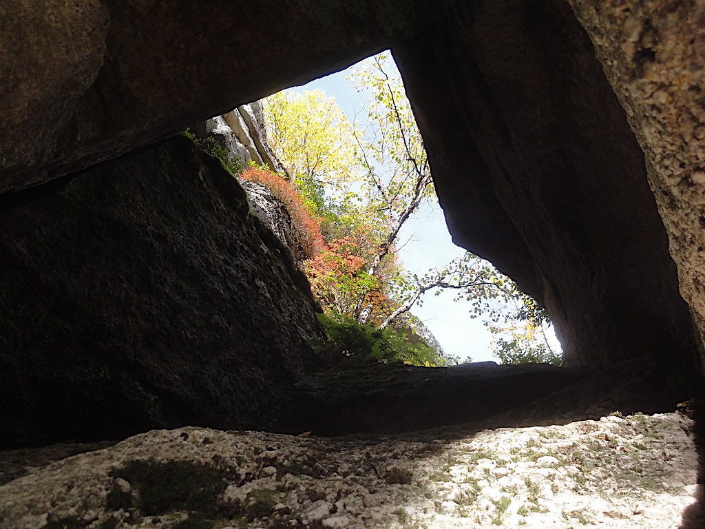
Rock Window View
Beacon Hill 1
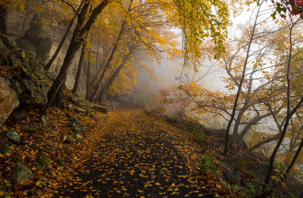
Foggy morning view
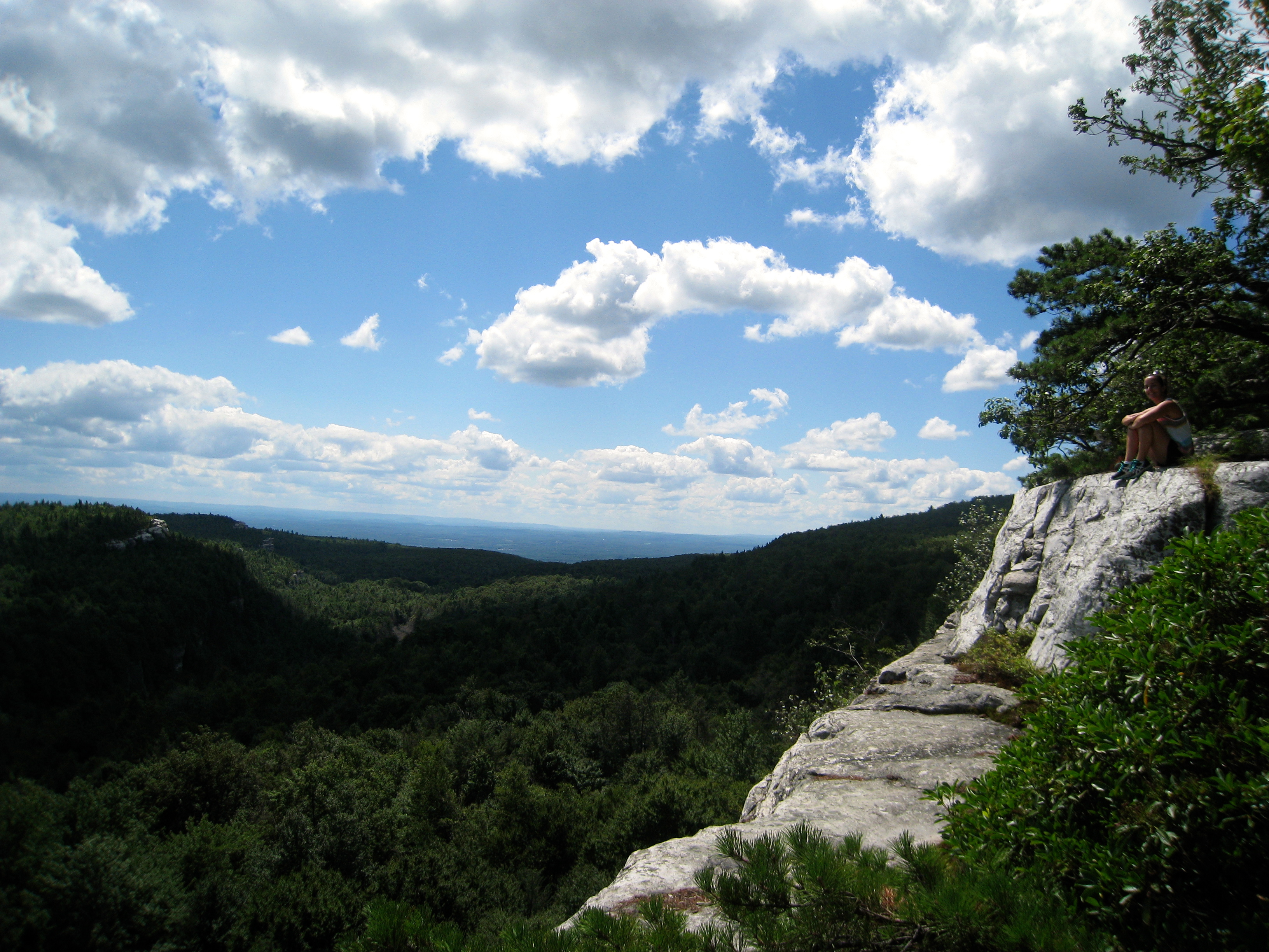
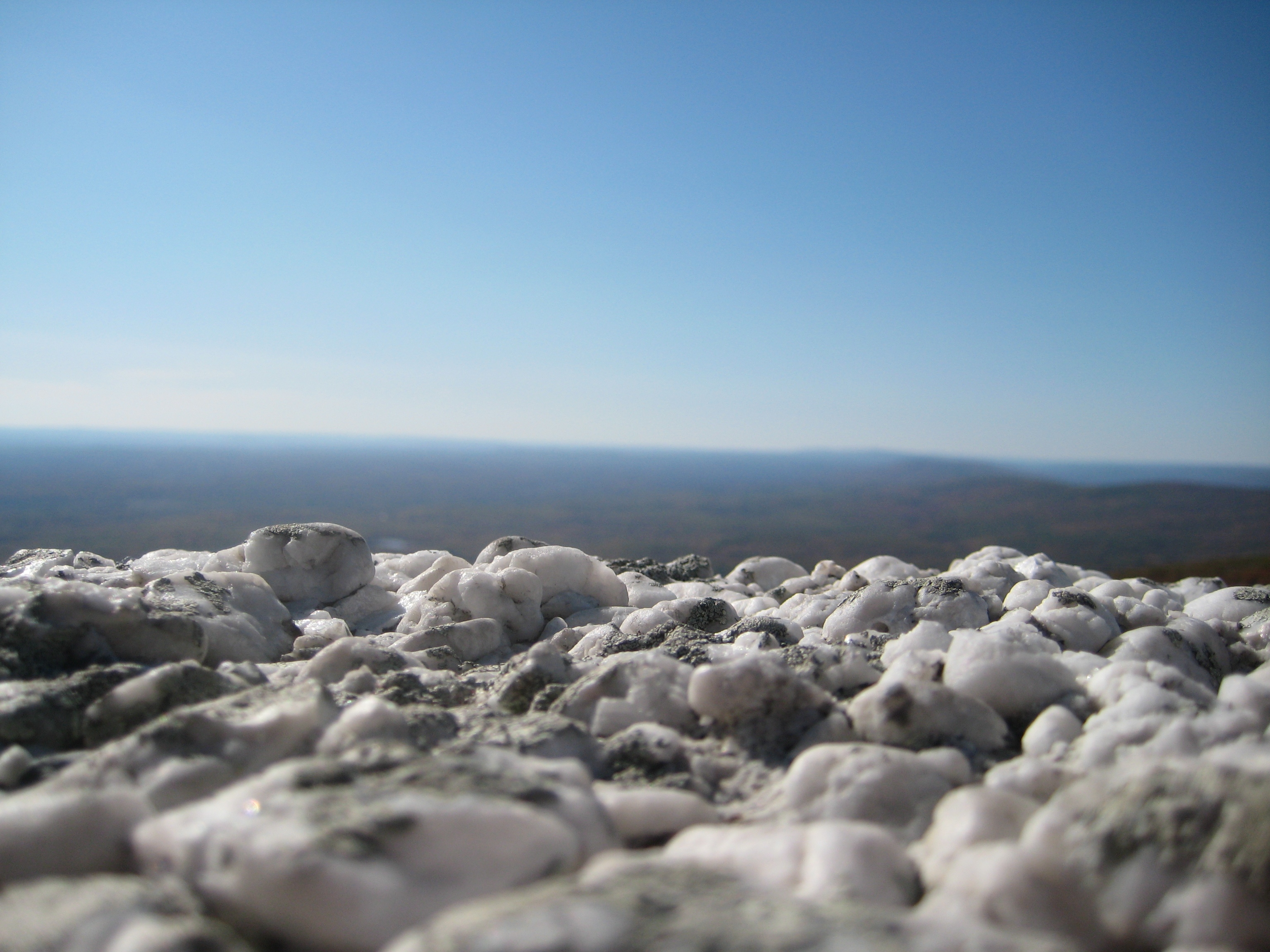
On top of the world
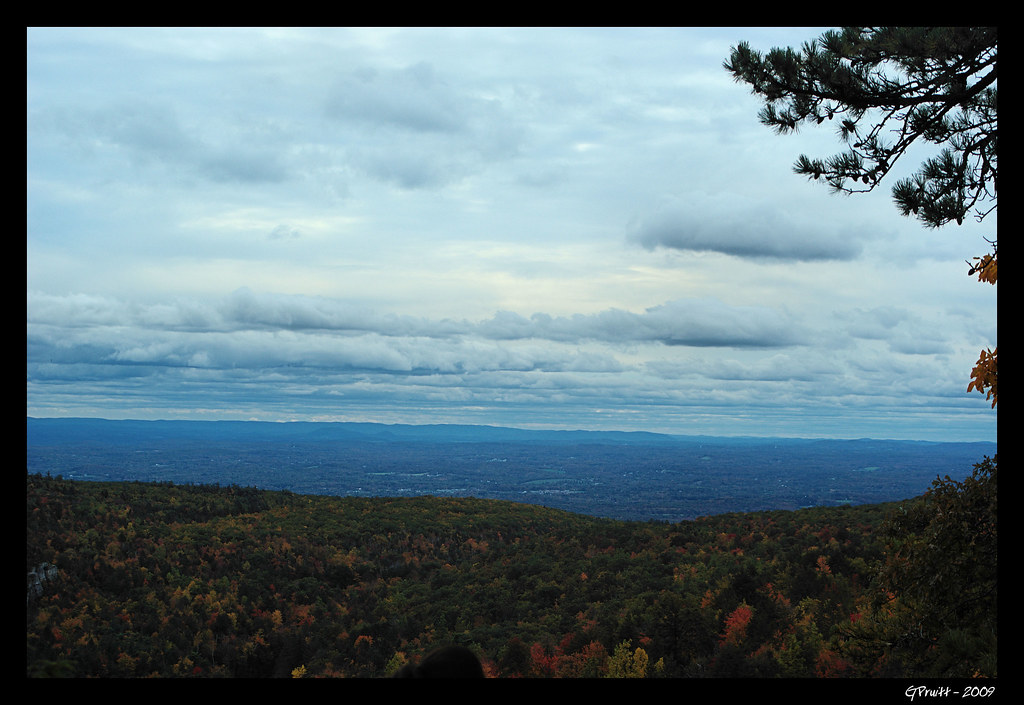
The View from on High
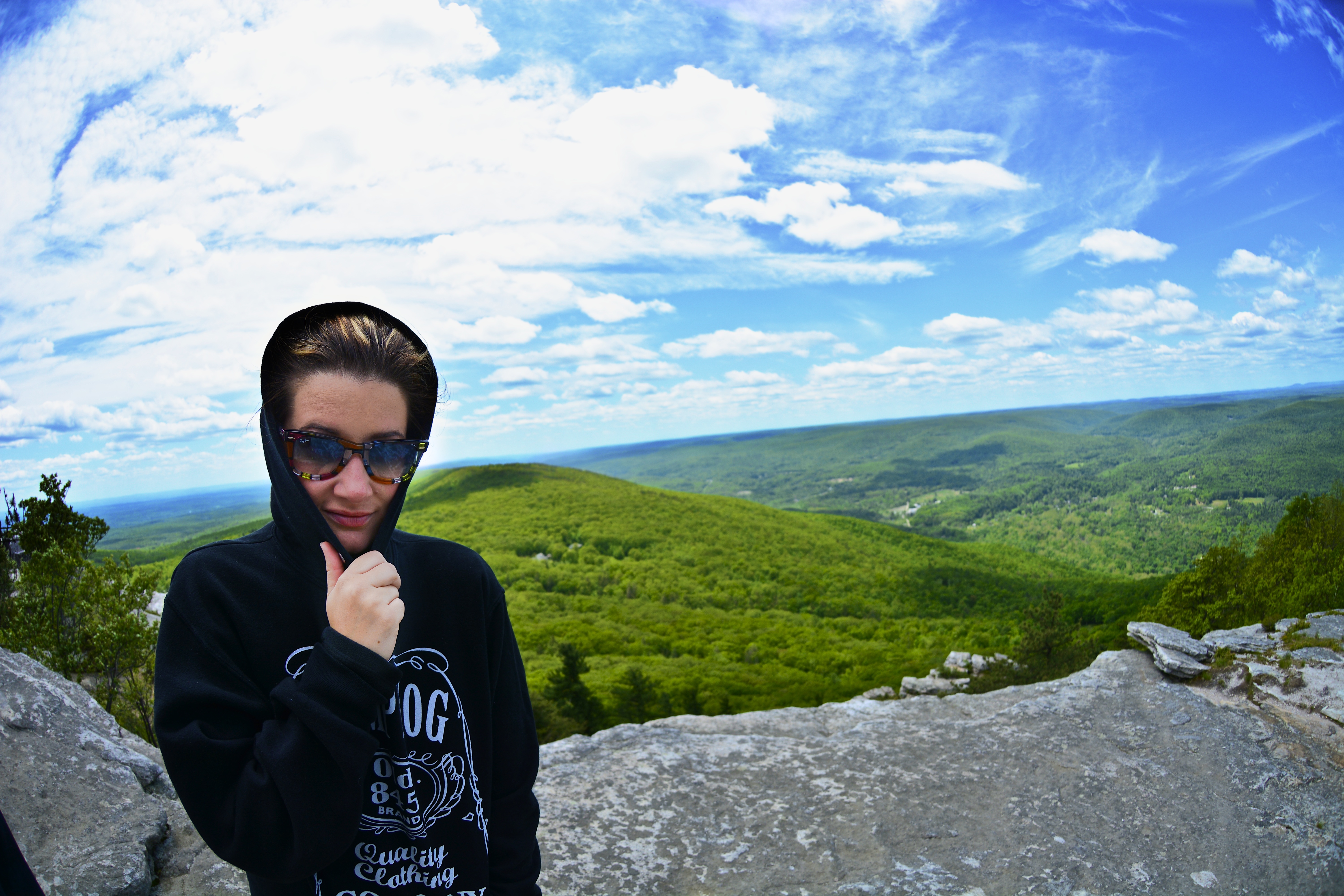
Fish eye 1
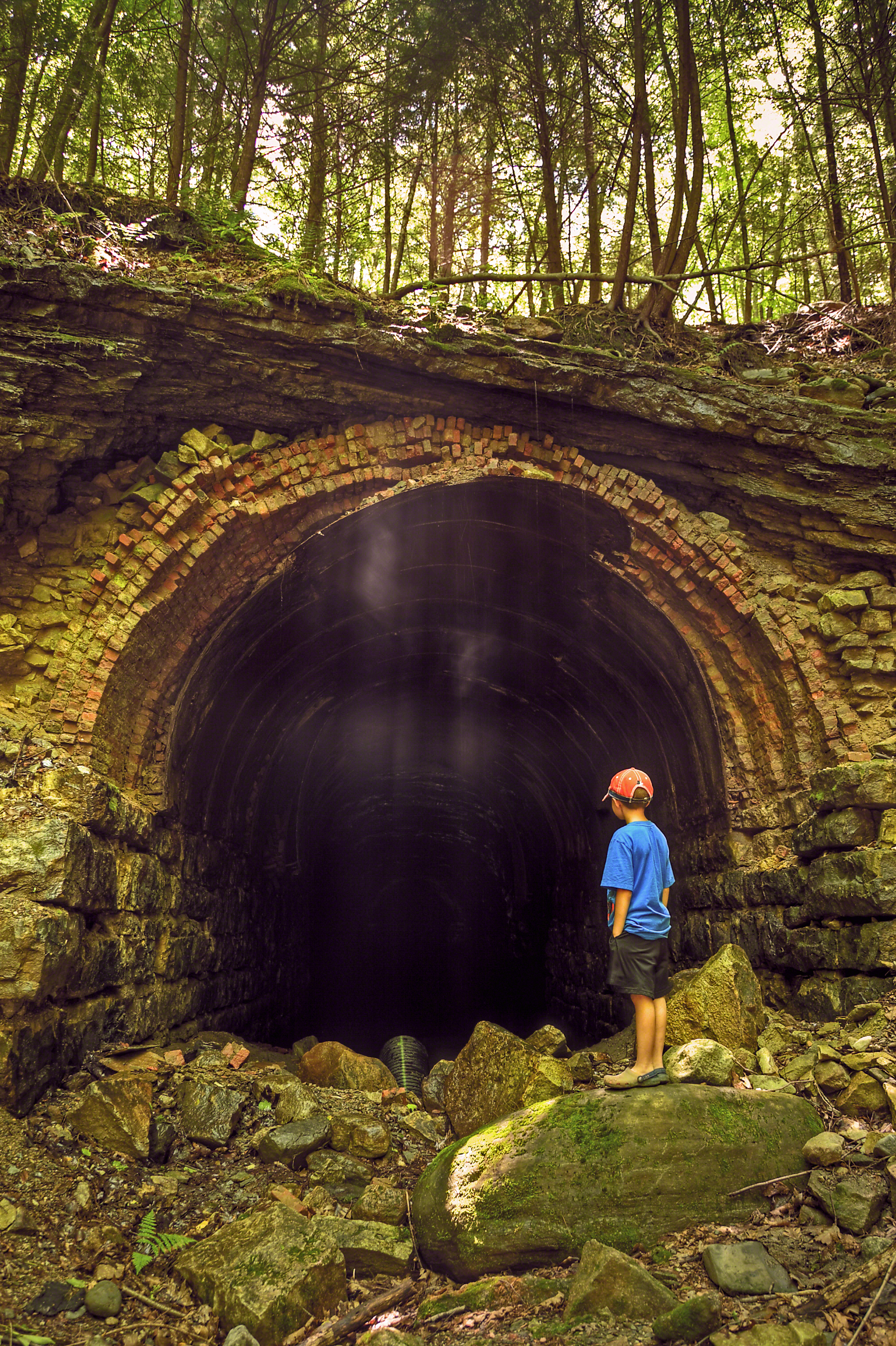
The Forgotten Tunnel
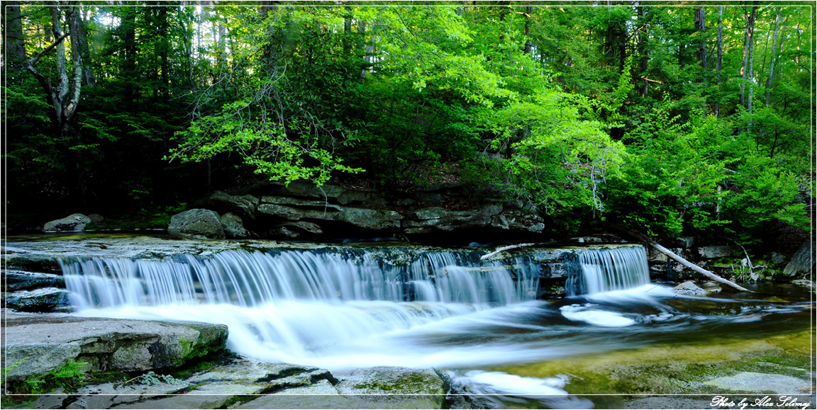
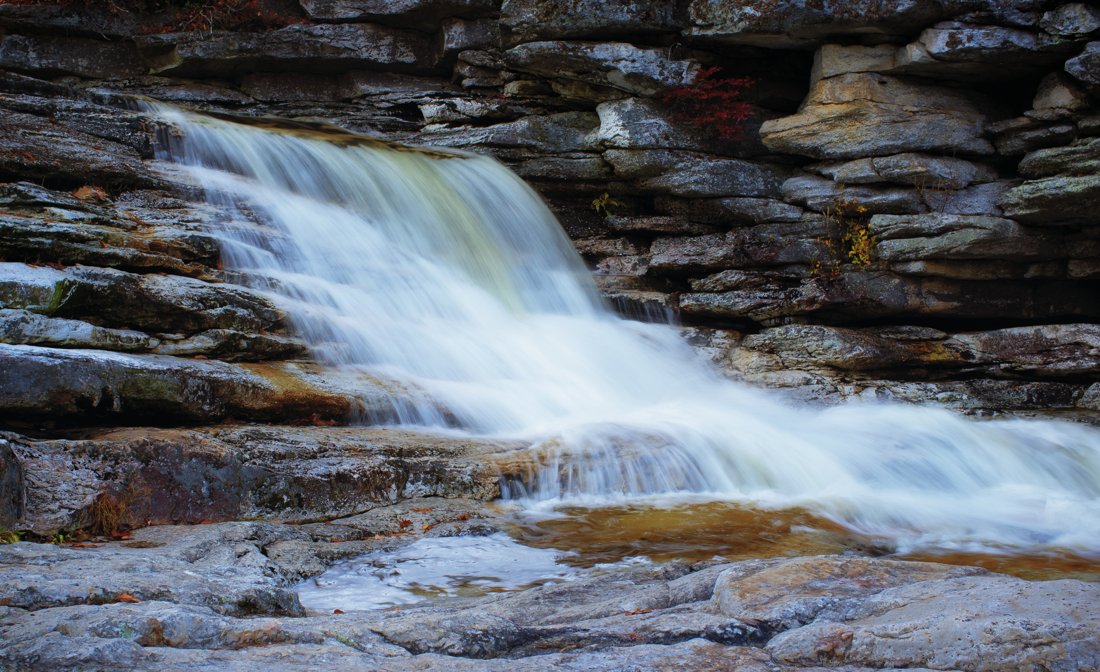
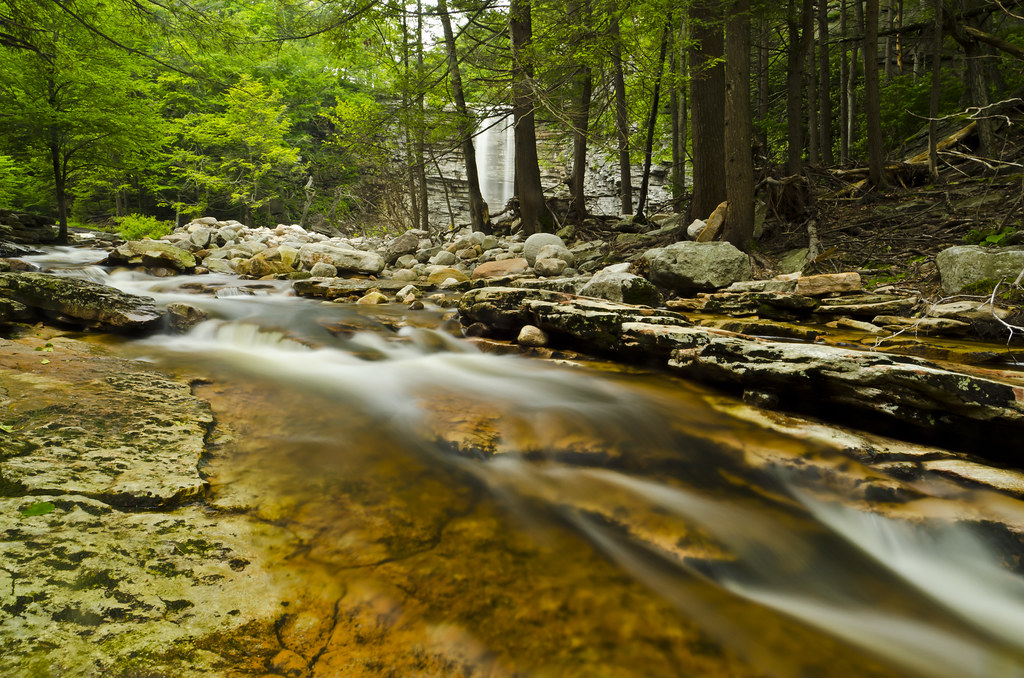
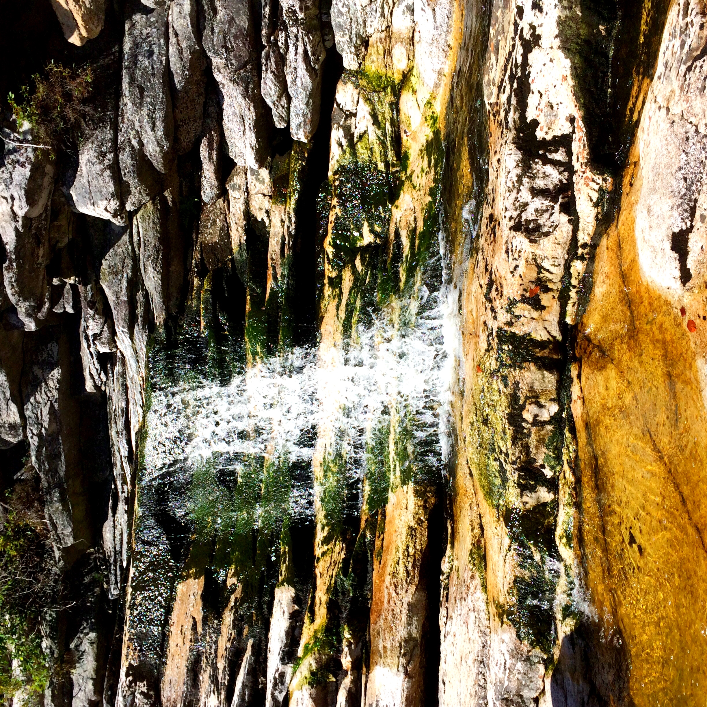
Flowing profusely
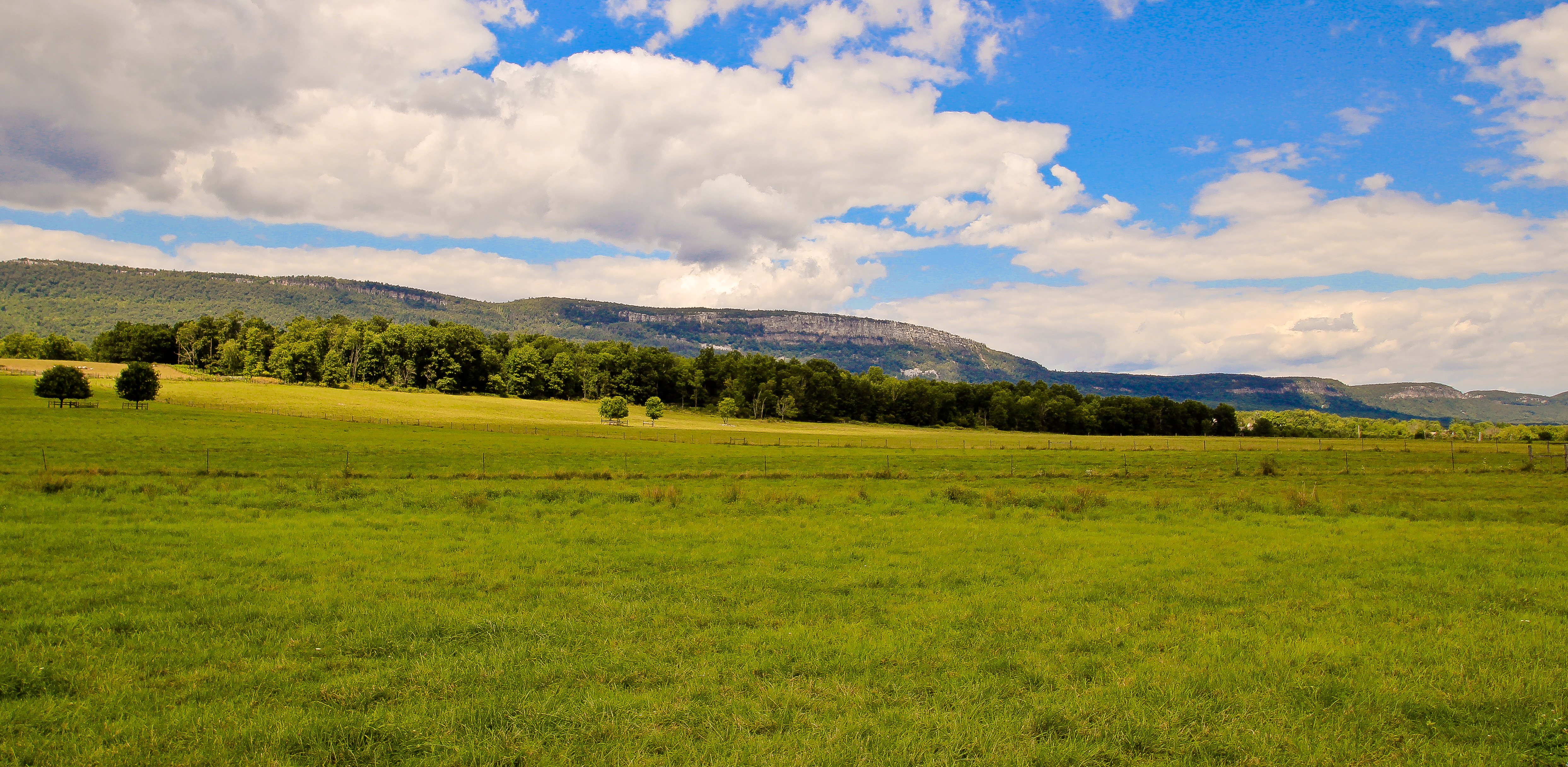
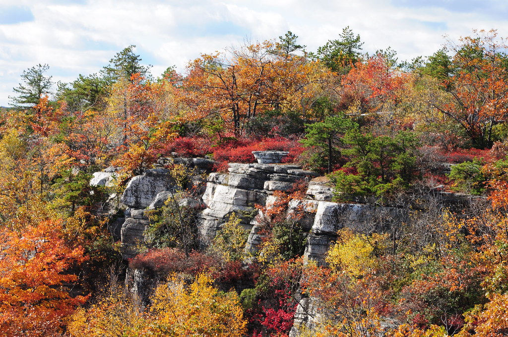
The Gunks
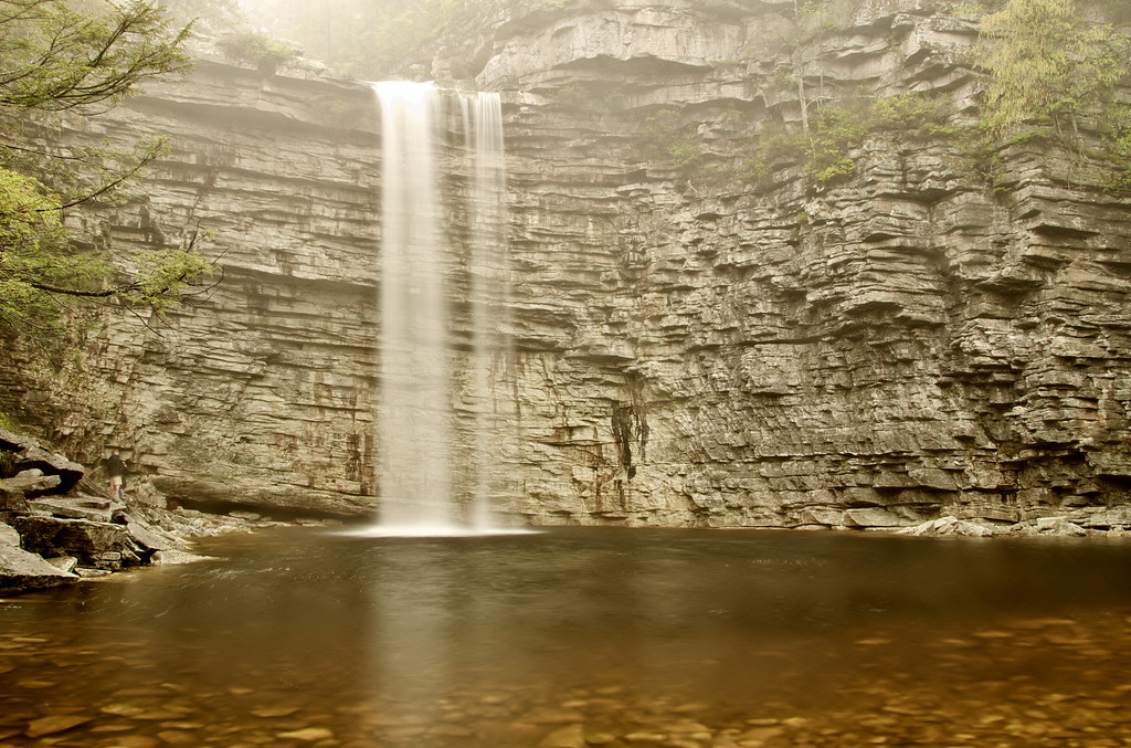
Awosting Falls
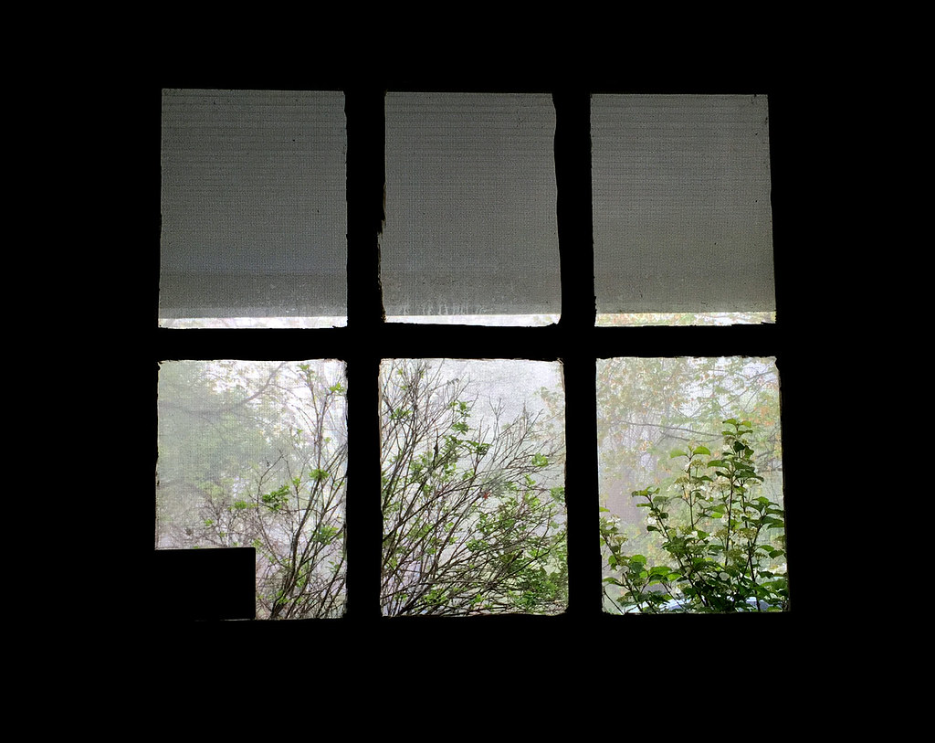
View From Hotel Window
Sam's Point

Lake Minnewaska

Springtime Blues

wild deers

Around Lock 20 D&H Canal
Falls at Minnewaska
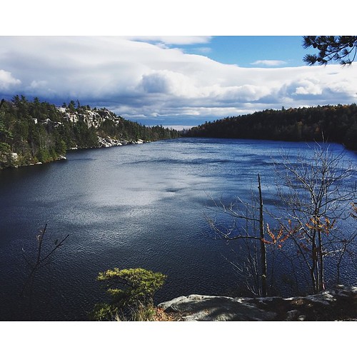
The lake
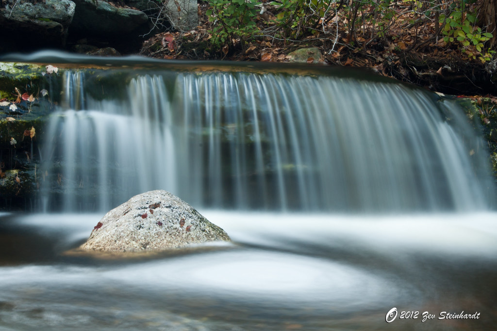
Waterfall on Peters Kill at Minnewaska State Park
VerKeerderkill Falls
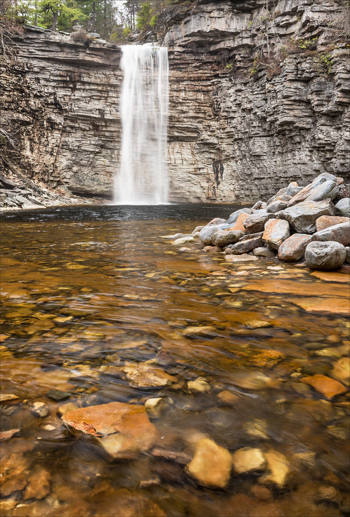
Awosting Falls
Samspointae 3005
Samspoint 2760 (2)
Here lies one whose name was writ in water...
Minnewaska State Park
Mohonk4742.jpg

Sunday hike.
Falls Edge
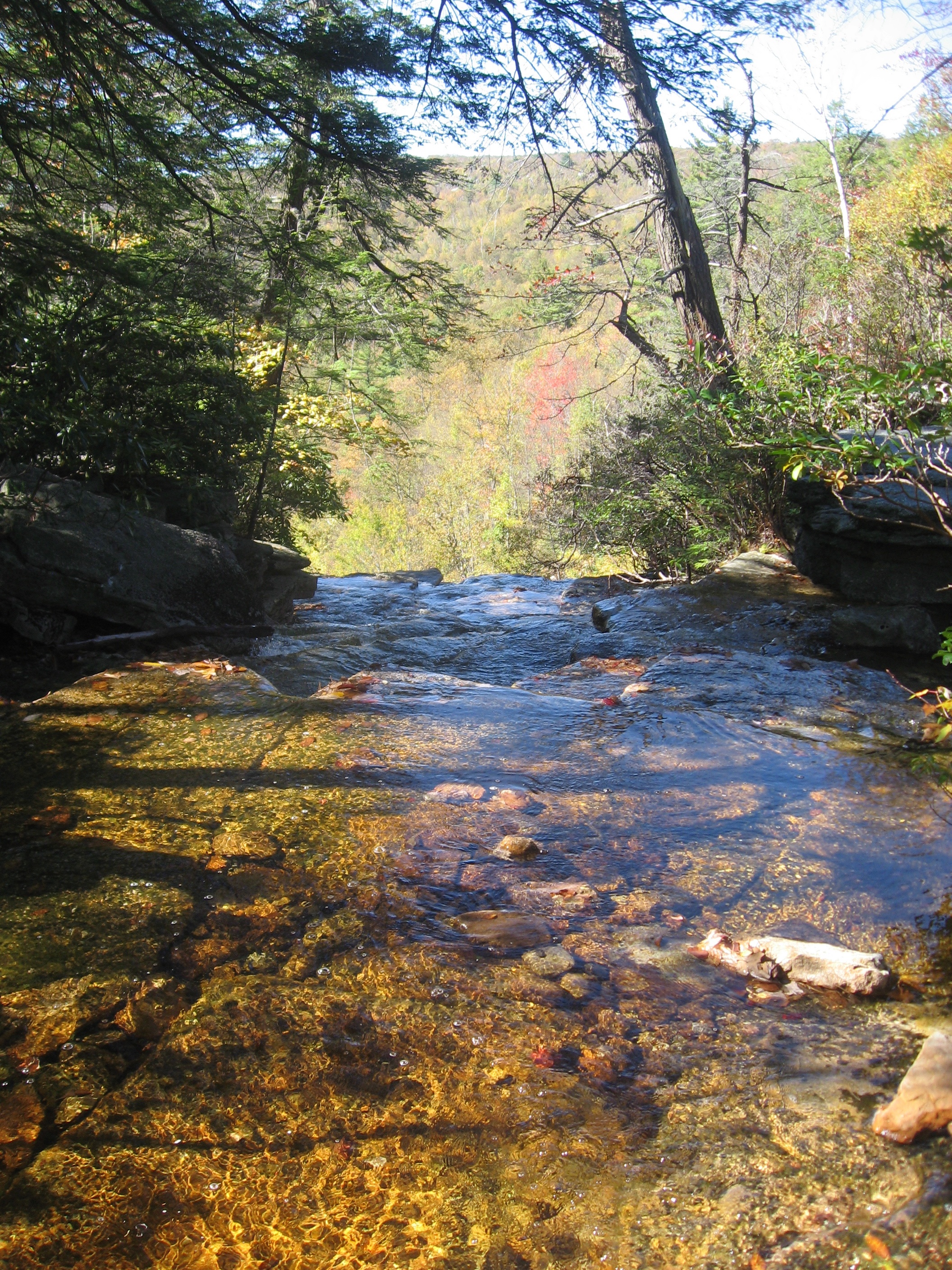
The Creek by the Cabin
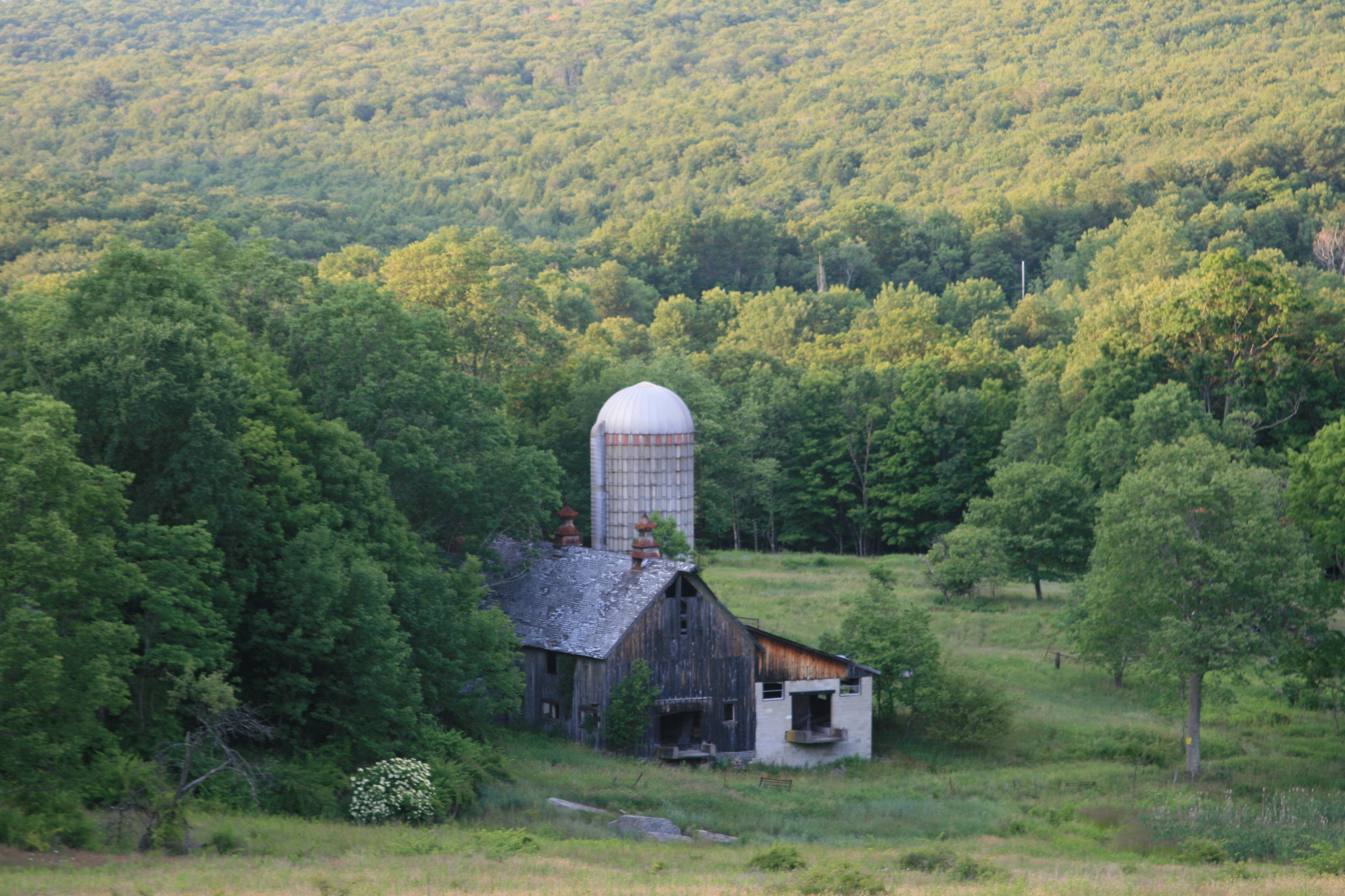
Dog In Countrry
Top of Falls
Topographic Map of Ellenville, NY, USA
Find elevation by address:

Places in Ellenville, NY, USA:
17 Camp Rd, Ellenville, NY, USA
Mc Dole Road
Otens Road
Greenfield Park
Lake Maratanza
Hamilton Point Trail
Places near Ellenville, NY, USA:
Ellenville High School
70 Church St
202 Berme Rd
134 Irish Cape Rd
290 Irish Cape Rd
8418 Us-209
8418 Us-209
56 Main St
Napanoch
Cragsmoor Stone Church
Mc Dole Road
Cragsmoor, NY, USA
81 Otens Rd
Cragsmoor
48-52 Henry Rd
Beech Lane
Cragsmoor Historical Society
Wawarsing, NY, USA
25 Rd A
Wawarsing
Recent Searches:
- Elevation of Corso Fratelli Cairoli, 35, Macerata MC, Italy
- Elevation of Tallevast Rd, Sarasota, FL, USA
- Elevation of 4th St E, Sonoma, CA, USA
- Elevation of Black Hollow Rd, Pennsdale, PA, USA
- Elevation of Oakland Ave, Williamsport, PA, USA
- Elevation of Pedrógão Grande, Portugal
- Elevation of Klee Dr, Martinsburg, WV, USA
- Elevation of Via Roma, Pieranica CR, Italy
- Elevation of Tavkvetili Mountain, Georgia
- Elevation of Hartfords Bluff Cir, Mt Pleasant, SC, USA