Elevation of Elizaville Rd, Lebanon, IN, USA
Location: United States > Indiana > Boone County > Center Township > Lebanon >
Longitude: -86.461489
Latitude: 40.0665492
Elevation: 289m / 948feet
Barometric Pressure: 98KPa
Elevation Map:
Satellite Map:
Related Photos:
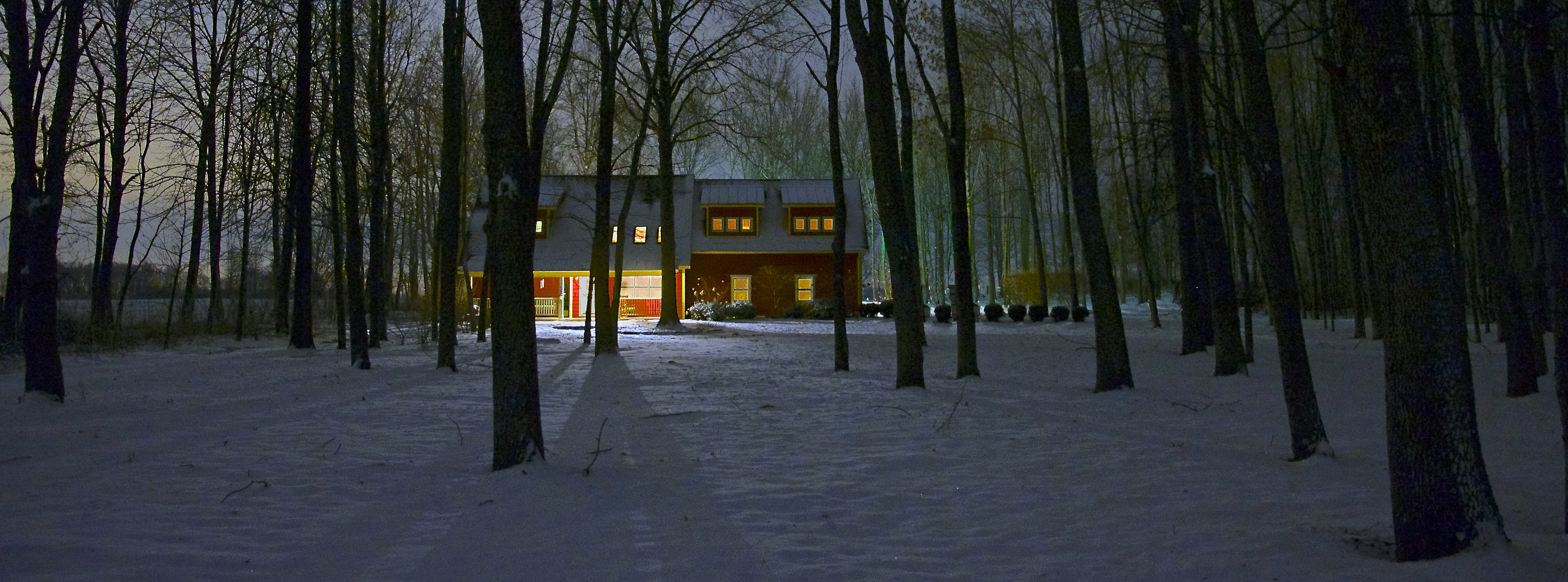
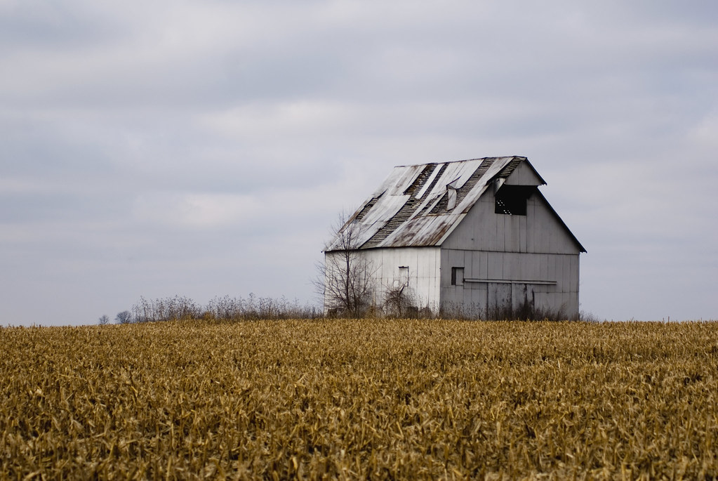
Winter Farm House (fb crop)

Winter Farm House

Alleyside View

Film Positive

Window Without A View

Lego Ford Shelby Mustang

My view this morning...he's so jealous I'm giving my attention to all of you and not HIM.

overhead view
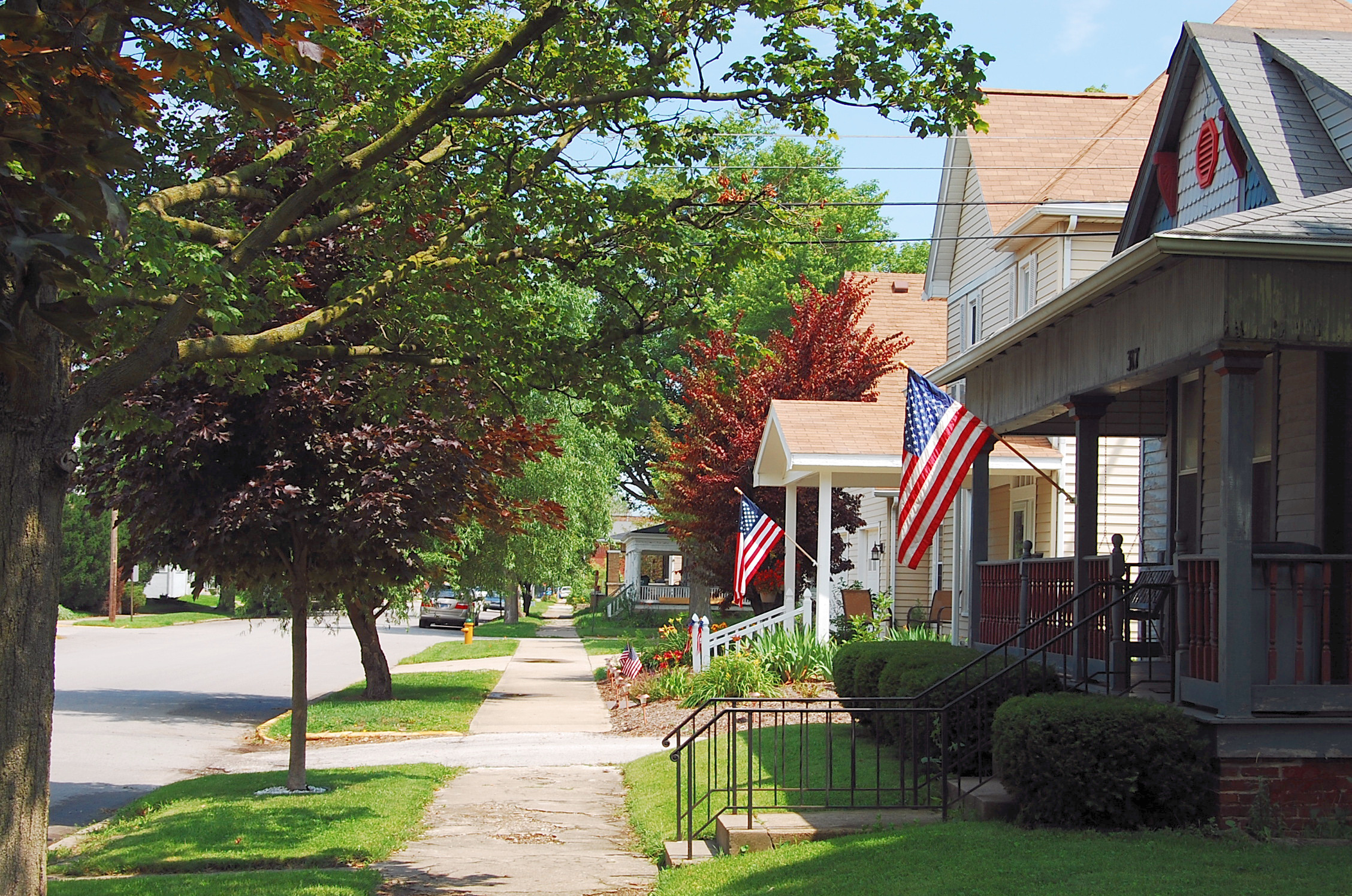
Flags on the 4th-1
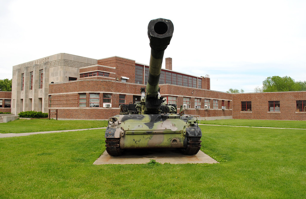
M110A2 SN BMY005 in Lebanon
IMG_2077.JPG (2)
In The Distance
This is the day the Lord hath made, so #SmileUp, ppl!!
20101003 IN between Purdue and airport140614534.jpg

Country Bridge

...And Then There Were Three.
Towards Whitestown...

Helllooooo, Friday! #takemeaway!!

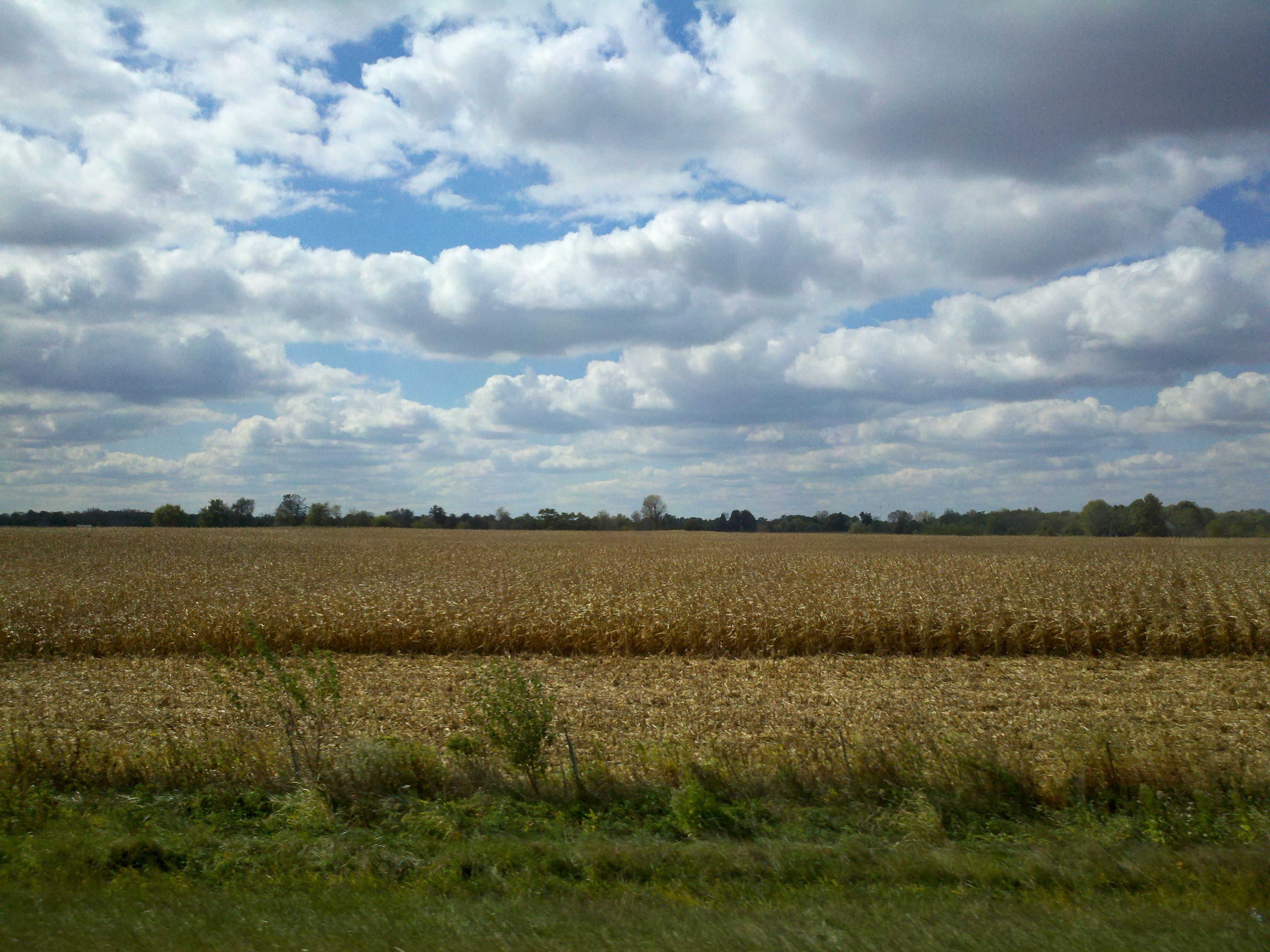
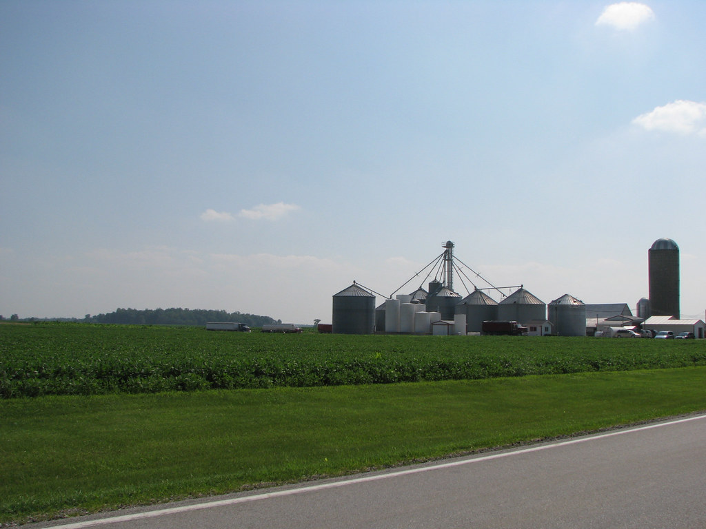
Field Corn

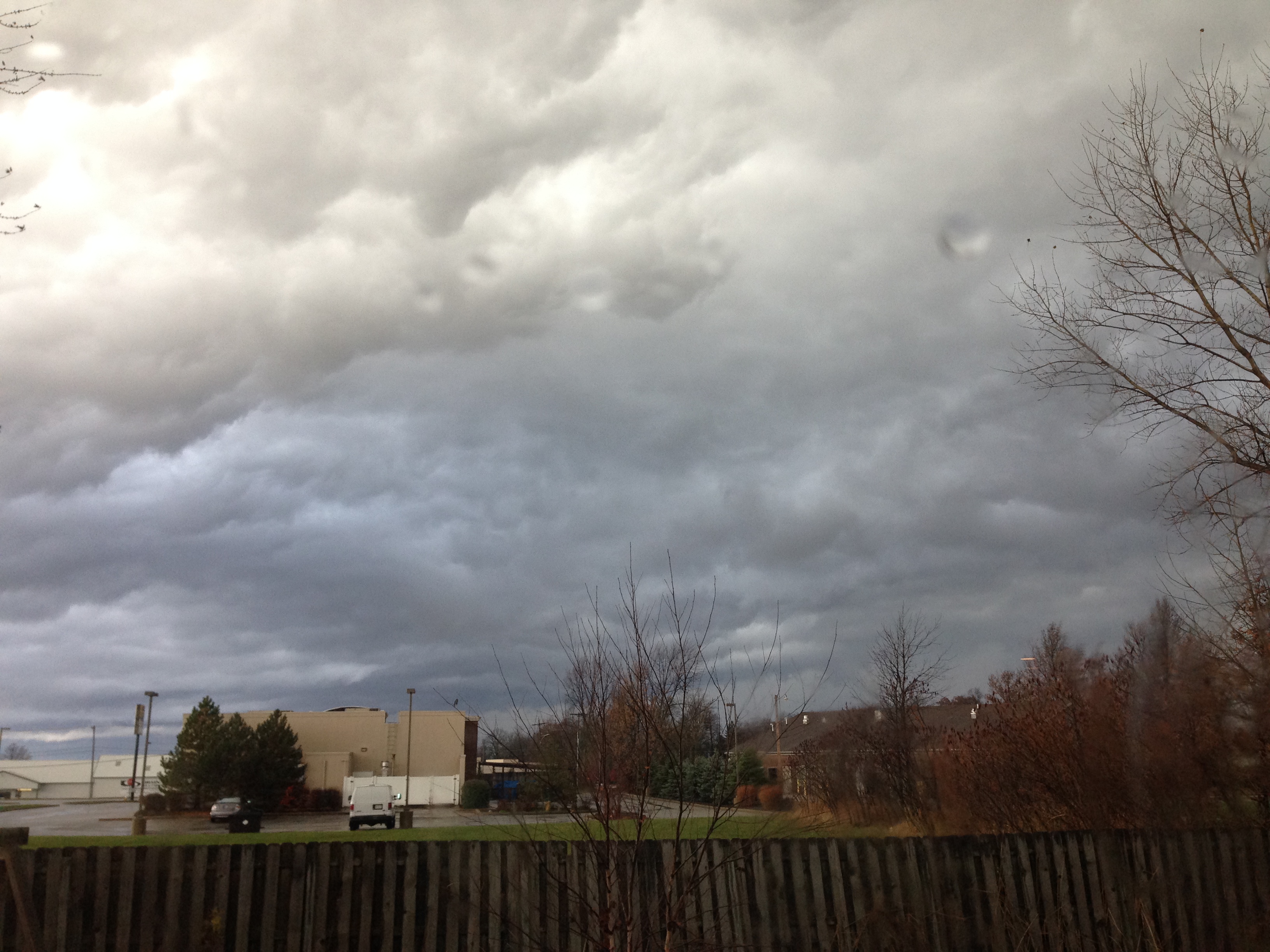
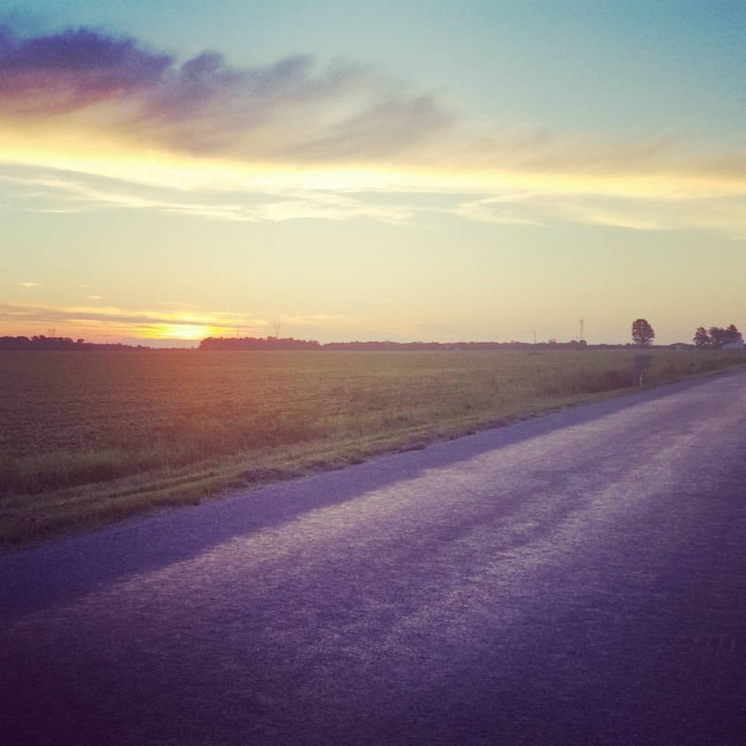
sunset over Indiana

Prairie Creek Flood 2013
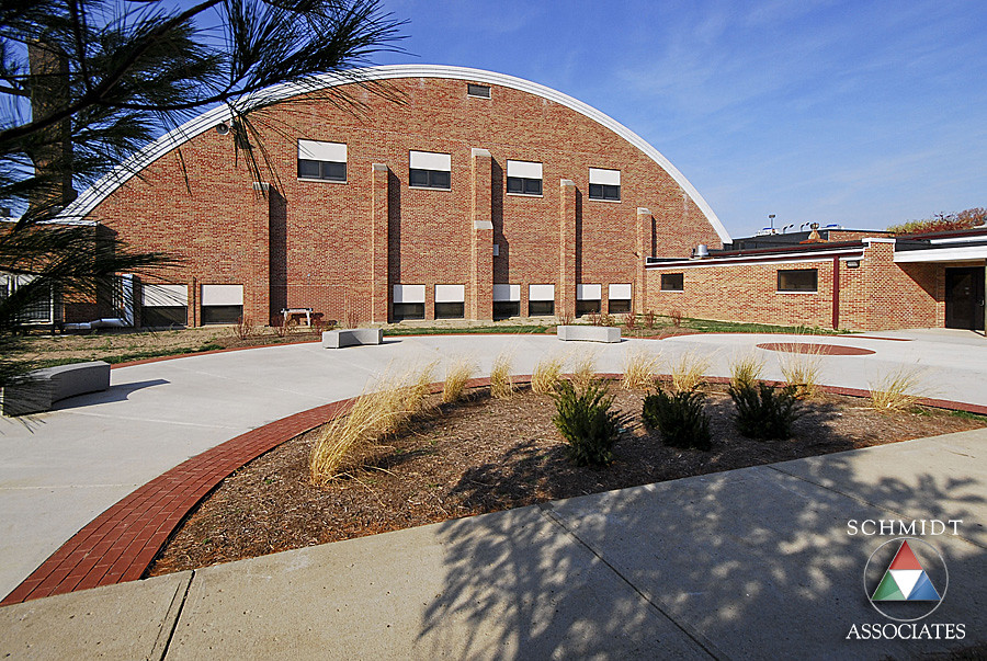
Exterior Courtyard and Landscape
What a great day for golf.

Maybe Next Year

20130921-Flag Football-Florida vs Ball State
Out to Pasture
Traffic jam in the country
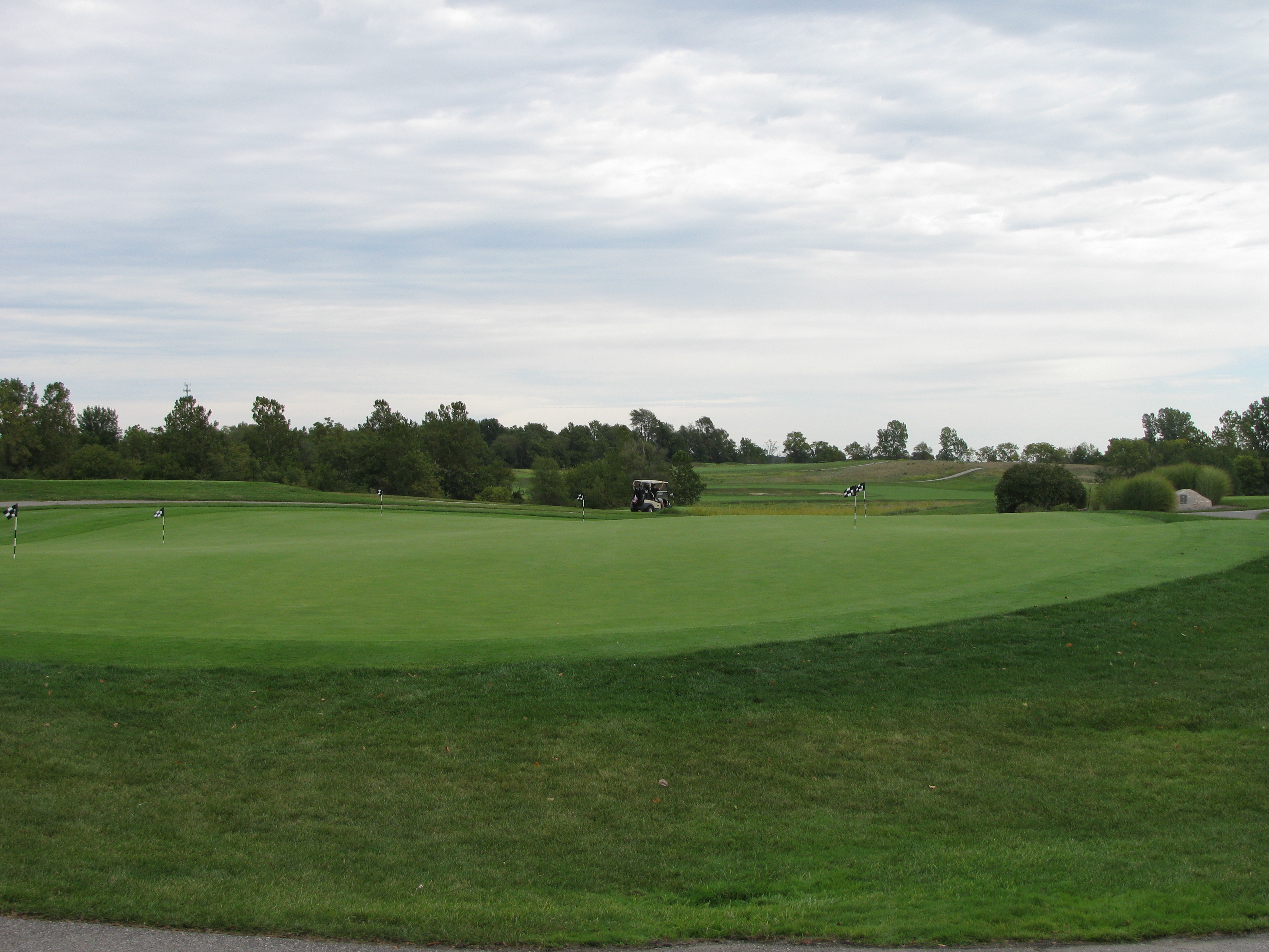
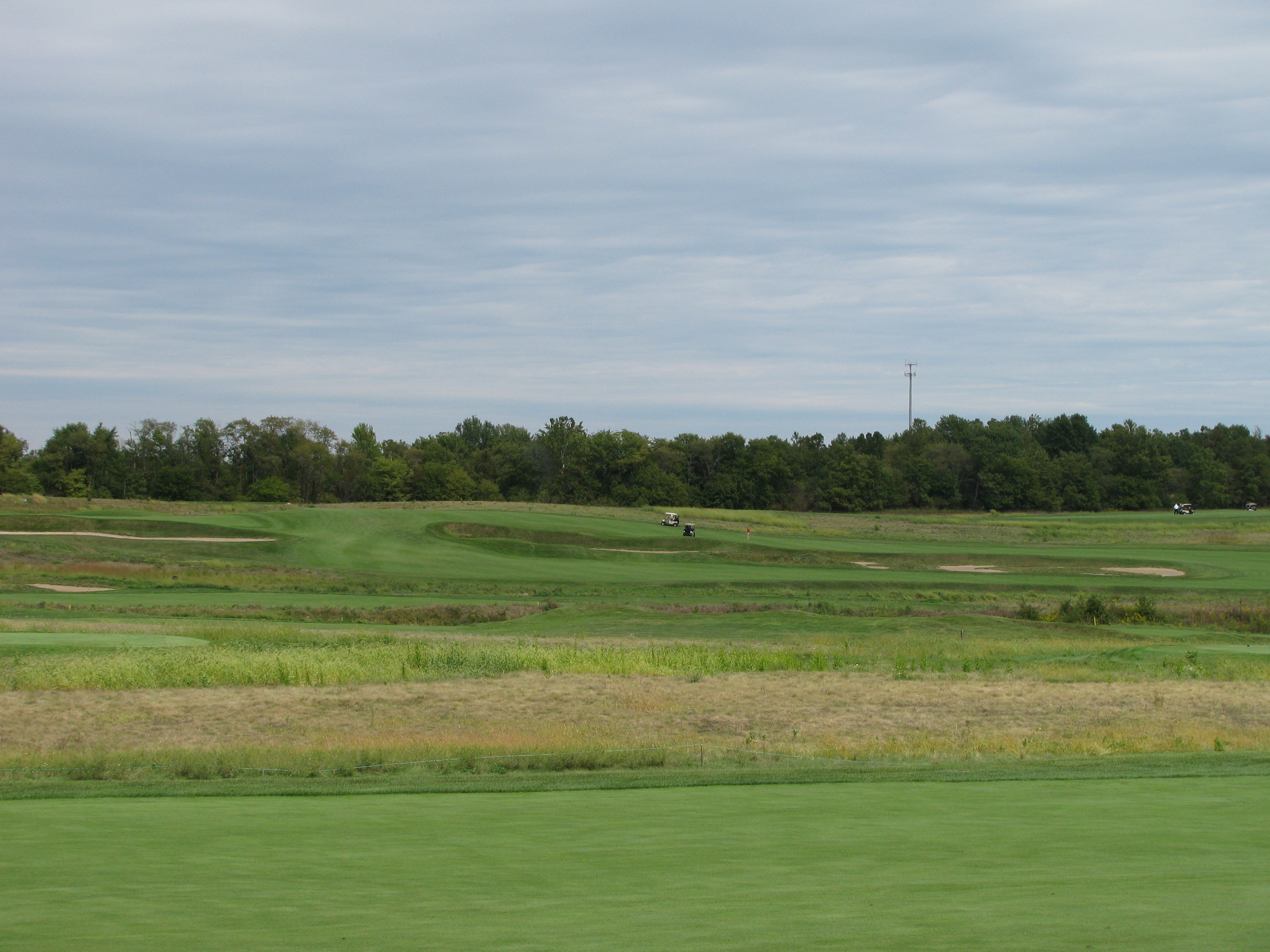
Golfers leave the practice green to compete
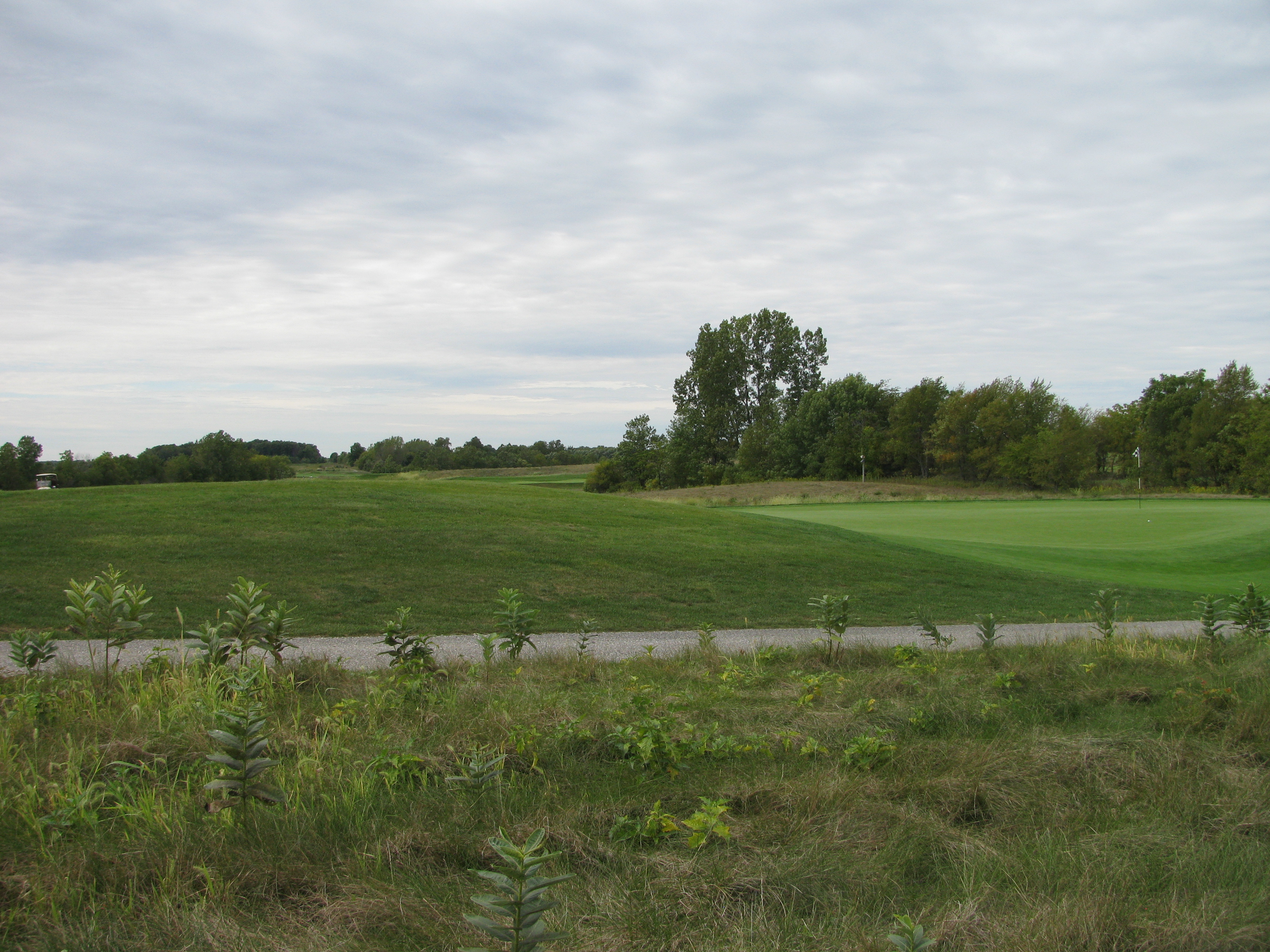
The terrain of The Trophy Club

201209-ParkerSoccer-005

201209-ParkerSoccer-003
Topographic Map of Elizaville Rd, Lebanon, IN, USA
Find elevation by address:

Places near Elizaville Rd, Lebanon, IN, USA:
Center Township
402 N Park St
Garfield St, Lebanon, IN, USA
Lebanon
S, Lebanon, IN, USA
3468 Firethorn Drive
4 N Main St, Whitestown, IN, USA
Whitestown
N Michigan Rd, Zionsville, IN, USA
266 S Michigan Rd
US-, Zionsville, IN, USA
Union Township
W Russell Lake Dr, Zionsville, IN, USA
802 S 1100 E
Zionsville, IN, USA
Eagle Township
900 W Pine St
900 W Pine St
S Meadow Ln, Zionsville, IN, USA
Zionsville
Recent Searches:
- Elevation of Corso Fratelli Cairoli, 35, Macerata MC, Italy
- Elevation of Tallevast Rd, Sarasota, FL, USA
- Elevation of 4th St E, Sonoma, CA, USA
- Elevation of Black Hollow Rd, Pennsdale, PA, USA
- Elevation of Oakland Ave, Williamsport, PA, USA
- Elevation of Pedrógão Grande, Portugal
- Elevation of Klee Dr, Martinsburg, WV, USA
- Elevation of Via Roma, Pieranica CR, Italy
- Elevation of Tavkvetili Mountain, Georgia
- Elevation of Hartfords Bluff Cir, Mt Pleasant, SC, USA