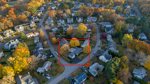
Elevation of Eliot St, Natick, MA, USA

Location: United States > Massachusetts > Middlesex County > Natick >

Longitude: -71.321686

Latitude: 42.2678148

Elevation: -10000m / -32808feet

Barometric Pressure: 295KPa

Elevation Map:

elevation map of Eliot St, Natick, MA, USA

Satellite Map:

Satellite map of Eliot St, Natick, MA, USA

Related Photos:

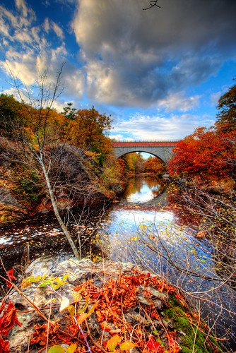
bridge autumn fall colors leaves day cloudy massachusetts echo foliage hdr stas burdan newtonupperfalls
Scenic Weather at Echo Bridge, Newton Upper Falls, Mass
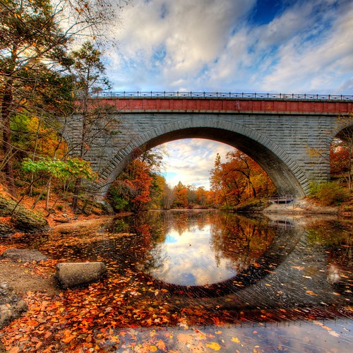
bridge reflection landscape massachusetts echo falls foliage upper hdr newton stas upperfalls echobridge burdan hemlockgorge stasburdan
Echo Bridge Reflections
morning light sunset summer portrait sky dog sun green colors beautiful field night clouds sunrise puppy dawn evening stuffed twilight afternoon dusk dry stuffedanimal goldenhour timelaps snugg snugglepup
Now This is the Life
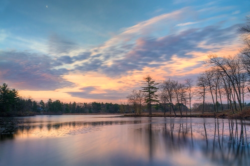
pink sunset sky lake nature colors evening purple lakeside photostream
Evening Colors, Holliston MA
sunset boston night bc hill chestnut hbppix lx3 mygearandme mygearandmepremium mygearandmebronze flickrstruereflectionlevel1 pwpartlycloudy
Sunset At The Res
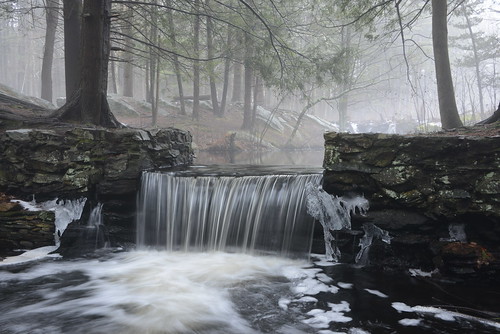
winter mist snow nature ma waterfall massachusetts january sanctuary broadmoor millpond audubon natick indianbrook bestcapturesaoi thomasswain thomasswain’smill
In the mist
plants nature nikon grasses audubon naturephotography broadmoorwildlifesanctuary wildgrasses d3100 nikond3100
Housing in the fields
steeple church flying sun bird late afternoon vein photoshop flickr google bing daum yahoo image stumbleupon facebook getty national geographic magazine creative creativity montage composite manipulation color hue saturation flickrhivemind pinterest reddit flickriver t pixelpeeper blog blogs openuniversity flic twitter alpilo commons wiki wikimedia worldskills oceannetworks ilri comflight newsroom fiveprime photoscape winners all people young photographers paysage artistic photo pin android colourful red blue green white air eye art landscape tinder tumbler unique unusual fascinating
Church Steeple
church believer unbeliever religion hdr paint photoshop flickr google bing daum yahoo image stumbleupon facebook getty national geographic magazine creative creativity montage composite manipulation color hue saturation flickrhivemind pinterest reddit flickriver t pixelpeeper blog blogs openuniversity flic twitter alpilo commons wiki wikimedia worldskills oceannetworks ilri comflight newsroom fiveprime photoscape winners all people young photographers paysage artistic photo pin android colourful red blue green white air eye art landscape interesting surreal avant guarde tinder tumbler
Church of the True Believer and Untrue Believer
summer sky lake nature water clouds landscape massachusetts newengland wellesley lakewaban nex7 sonyalphanex7
Lake Waban
brooks brooksbos landscape river charlesriver dam water falls 360 panorama panoramic natick massachusetts newengland clouds sky trees woods scenic nature
Charles River Dam, South Natick - 360 Panorama
sky cloud green grass golf ma raw course brookline
Golf Course at Brookline MA Photograph By Bimal Nepal April 29, 2011 all right reserved
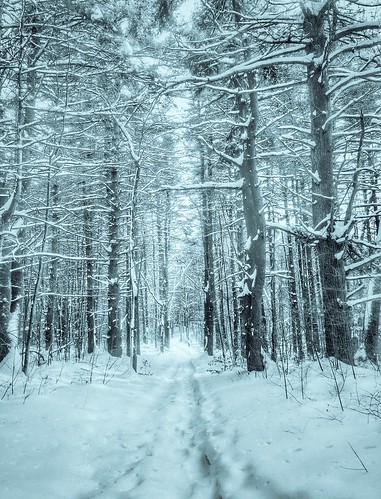
winter mountain snow cold nature forest outdoor walk 365 iphone medfield
Snow Forest, Noon Hill
framingham massachusetts millwoodfarmsgolfcourse usa
On the Course
The Metropolitan Water Works' Chestnut Hill High Service Pumping Station
fox cove
autumn trees nature landscape massachusetts newengland autumncolors waltham autumntrees walthamma lymanestate treesdiestandingup
Glorious Autumn
road homes moon tree boston landscape evening streetlamp massachusetts watertown pleasantstreet
Let Our Hearts Think Again While We Fall So Far
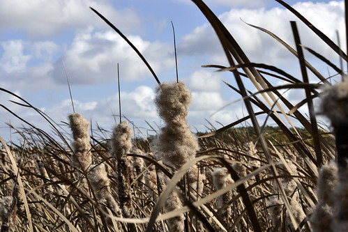
nikon massachusetts cattails cutlerpark needhammass d3100 nikond3100 cutlerparkneedhammass
Cattails gone to seed
149 Jarvis Aerial (7 of 8)
tree window water boston fog river landscape charlesriver adventure watertown smallsize stillburning
The Ember of Then, Now and Afterward