Elevation of Elevation Mountain, Montana, USA
Location: United States > Montana > Powell County > Helmville >
Longitude: -113.26007
Latitude: 46.8513222
Elevation: 2127m / 6978feet
Barometric Pressure: 78KPa
Elevation Map:
Satellite Map:
Related Photos:
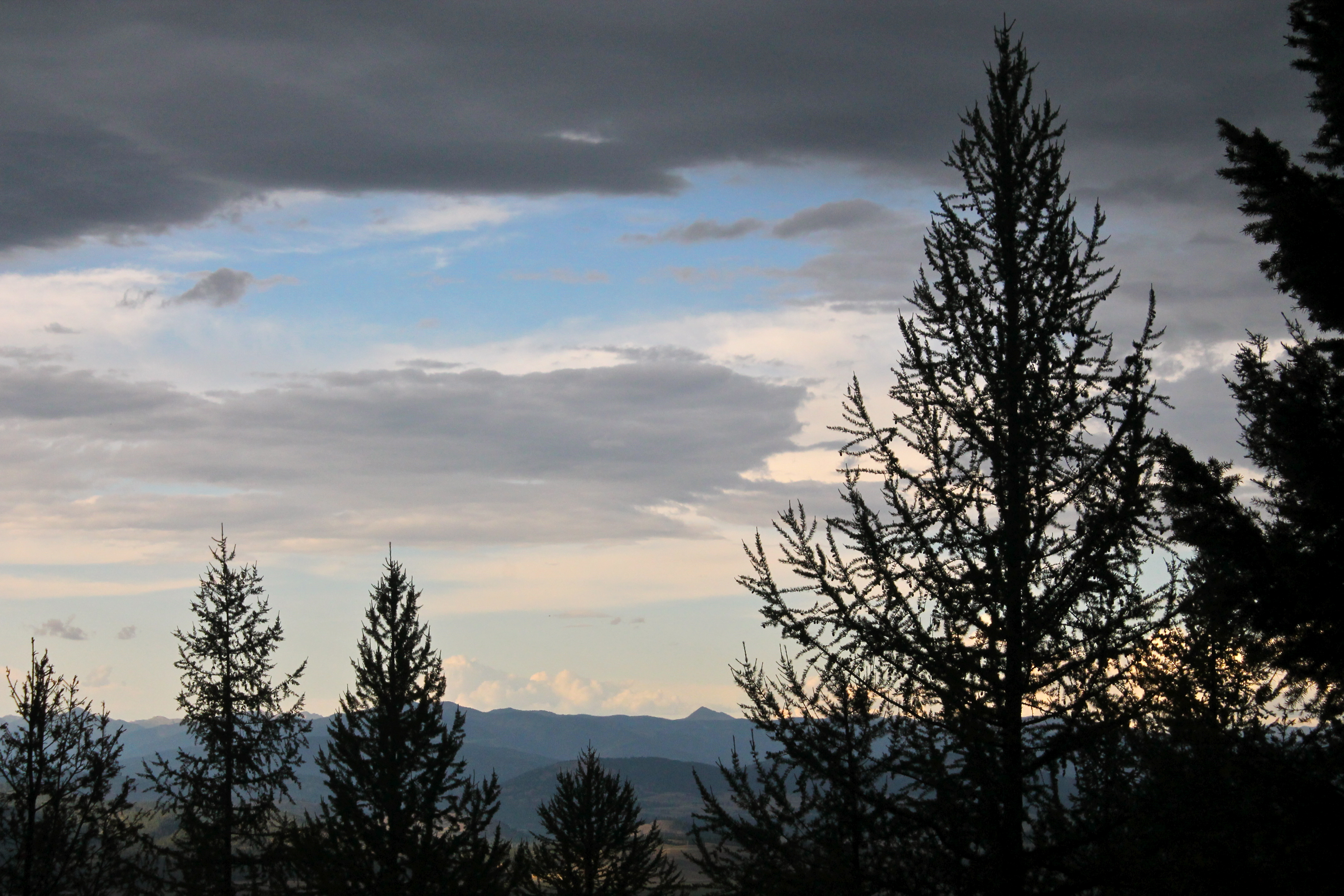
Mountain View
Topographic Map of Elevation Mountain, Montana, USA
Find elevation by address:

Places near Elevation Mountain, Montana, USA:
Anderson Hill
S Elk Creek Rd, Greenough, MT, USA
15611 S Sperry Grade Rd
40060 Paws Up Rd
Greenough
1444 Mt-83
Ovando
Drummond
1095 Mecate Ln
E Mullan Trail, Drummond, MT, USA
34280 Sheep Camp Rd
Horseshoe Hills Trail, Bonner, MT, USA
Harvey Point
Hall
Tyler Point
Cramer Creek Road
Monture Creek Campground
Powell County
Helmville
MT-1, Hall, MT, USA
Recent Searches:
- Elevation of Corso Fratelli Cairoli, 35, Macerata MC, Italy
- Elevation of Tallevast Rd, Sarasota, FL, USA
- Elevation of 4th St E, Sonoma, CA, USA
- Elevation of Black Hollow Rd, Pennsdale, PA, USA
- Elevation of Oakland Ave, Williamsport, PA, USA
- Elevation of Pedrógão Grande, Portugal
- Elevation of Klee Dr, Martinsburg, WV, USA
- Elevation of Via Roma, Pieranica CR, Italy
- Elevation of Tavkvetili Mountain, Georgia
- Elevation of Hartfords Bluff Cir, Mt Pleasant, SC, USA