Elevation of Ekebacken-Hjortsberg, Ljungby, Sweden
Location: Sweden > Kronoberg County > Ljungby >
Longitude: 13.9653306
Latitude: 56.8331398
Elevation: 143m / 469feet
Barometric Pressure: 100KPa
Elevation Map:
Satellite Map:
Related Photos:

Santa Claus brought me this
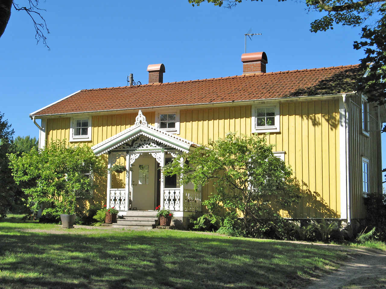
A little house in Småland
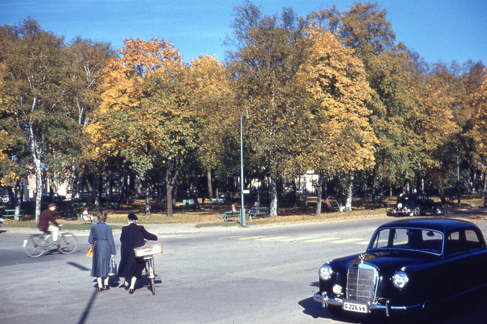
Ljungby - Stationsgatan (1958)
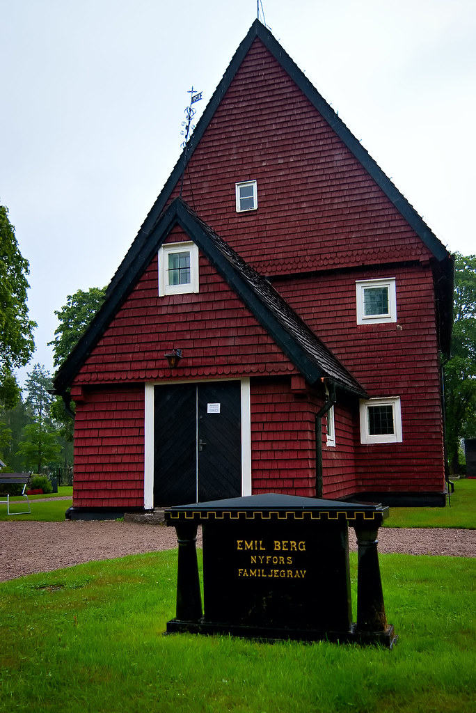
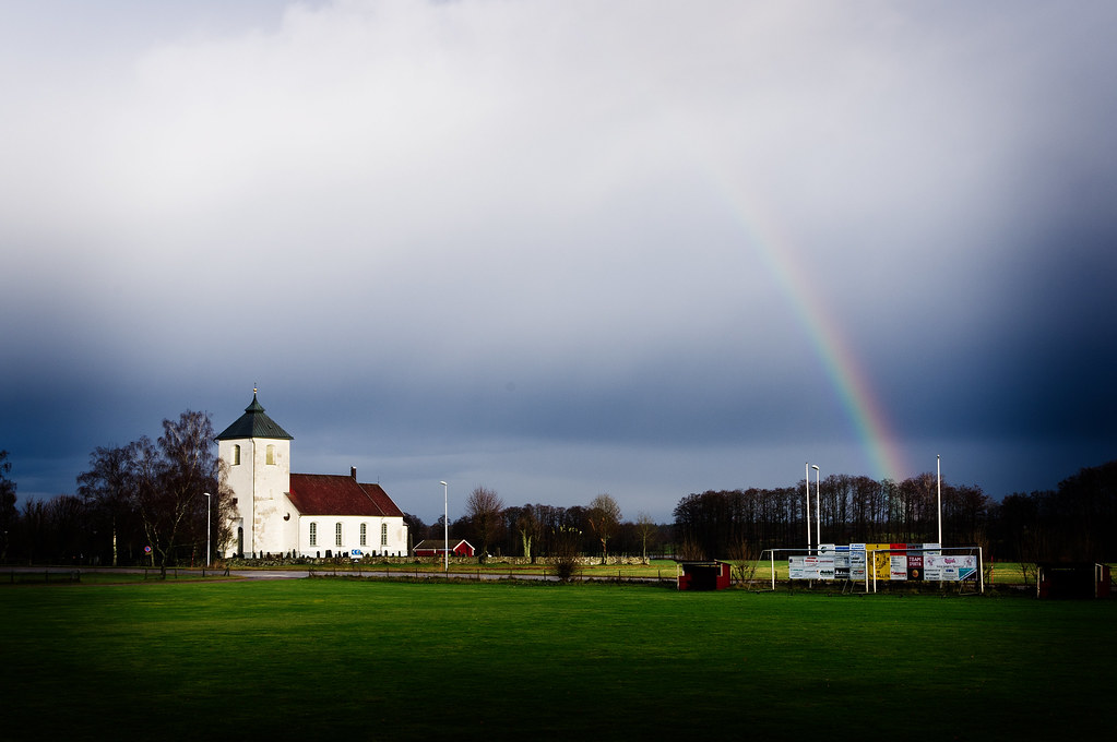
G8. The Church of Tutaryd
G9. The Gnome in Södra Ljunga manse
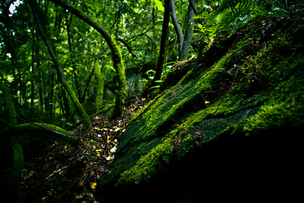
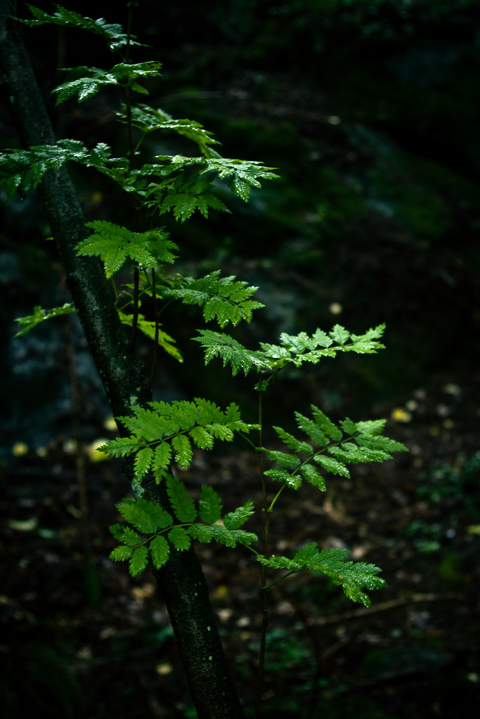
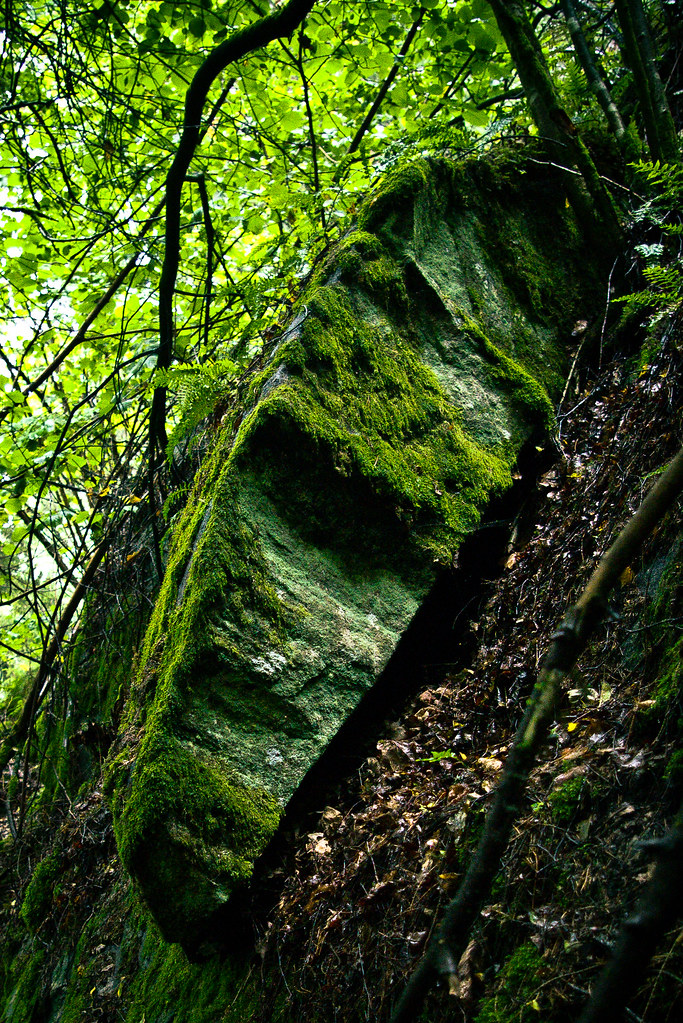
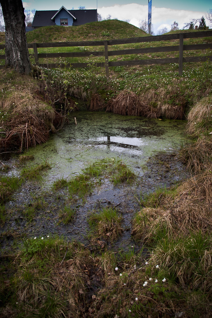
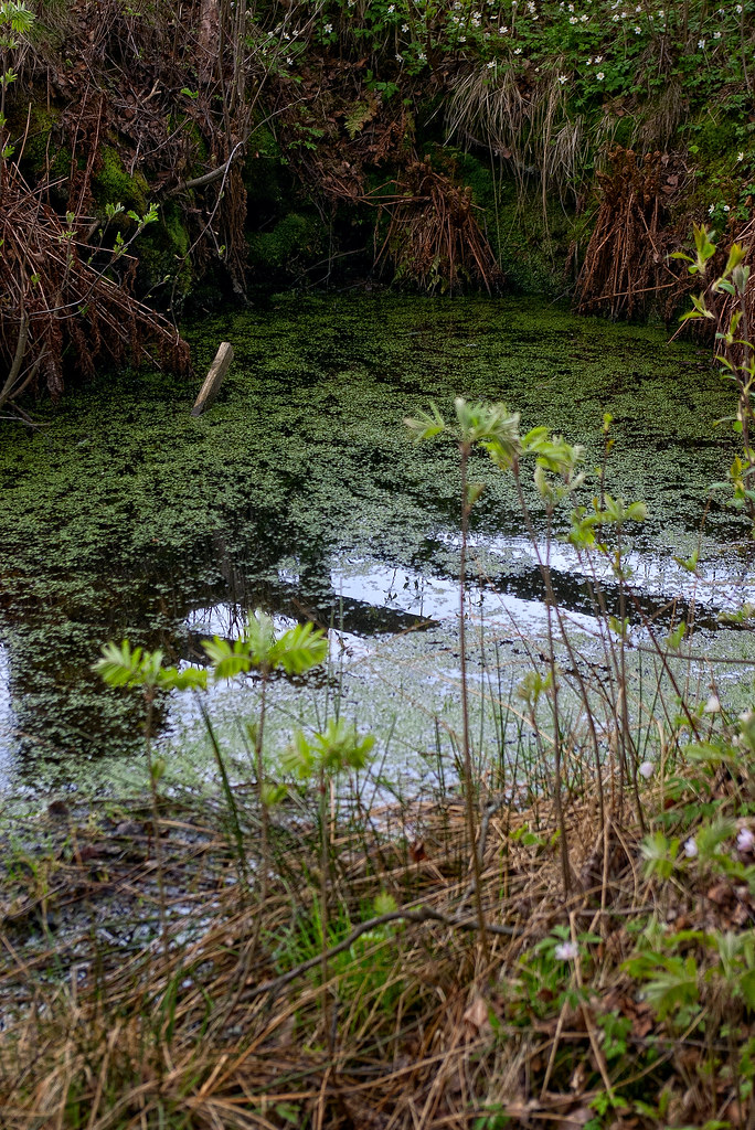
G7. Ättestupan at Sickinge
G7. Ättestupan at Sickinge
G7. Ättestupan at Sickinge
G9. The Gnome in Södra Ljunga manse
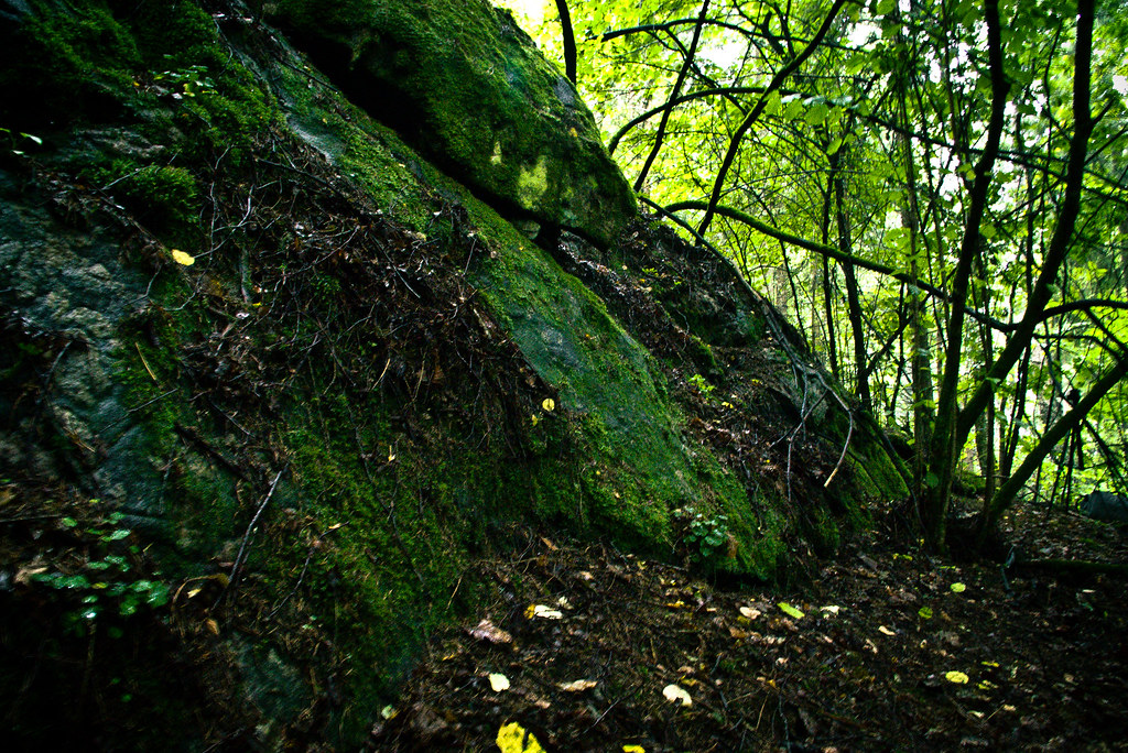
G7. Ättestupan at Sickinge

View from Kånna Kyrka
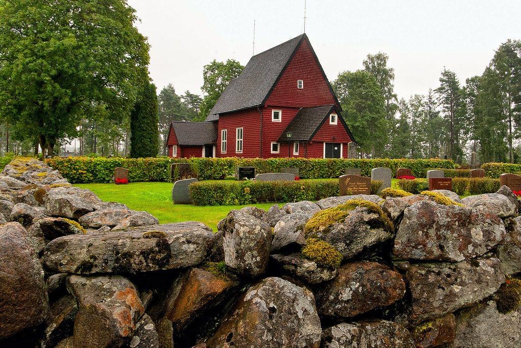
G8. The Church of Tutaryd
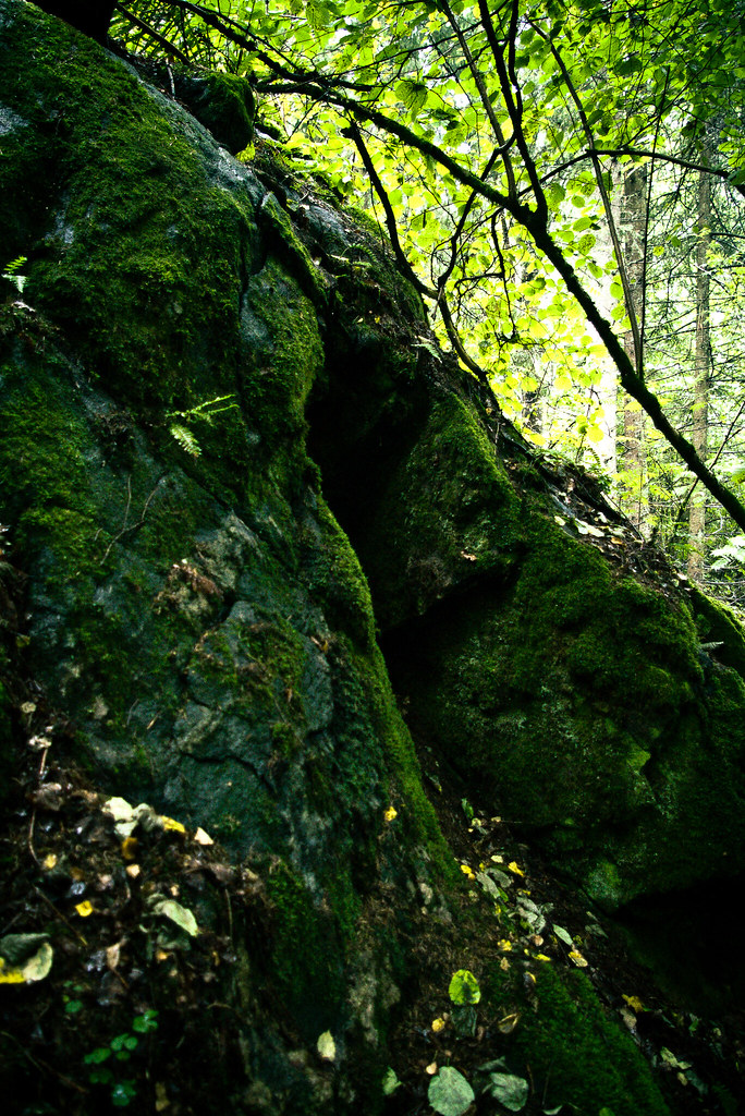
G7. Ättestupan at Sickinge
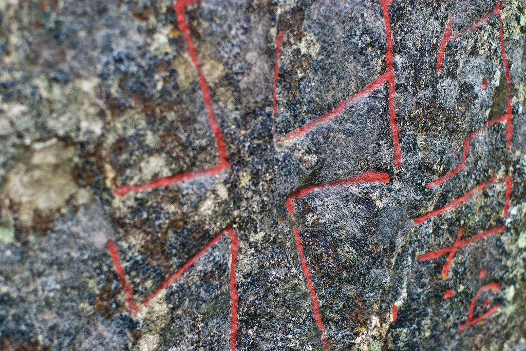
G6. Runstenen at Trotteslöv
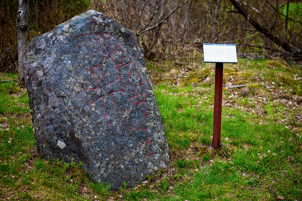
G6. Runstenen at Trotteslöv

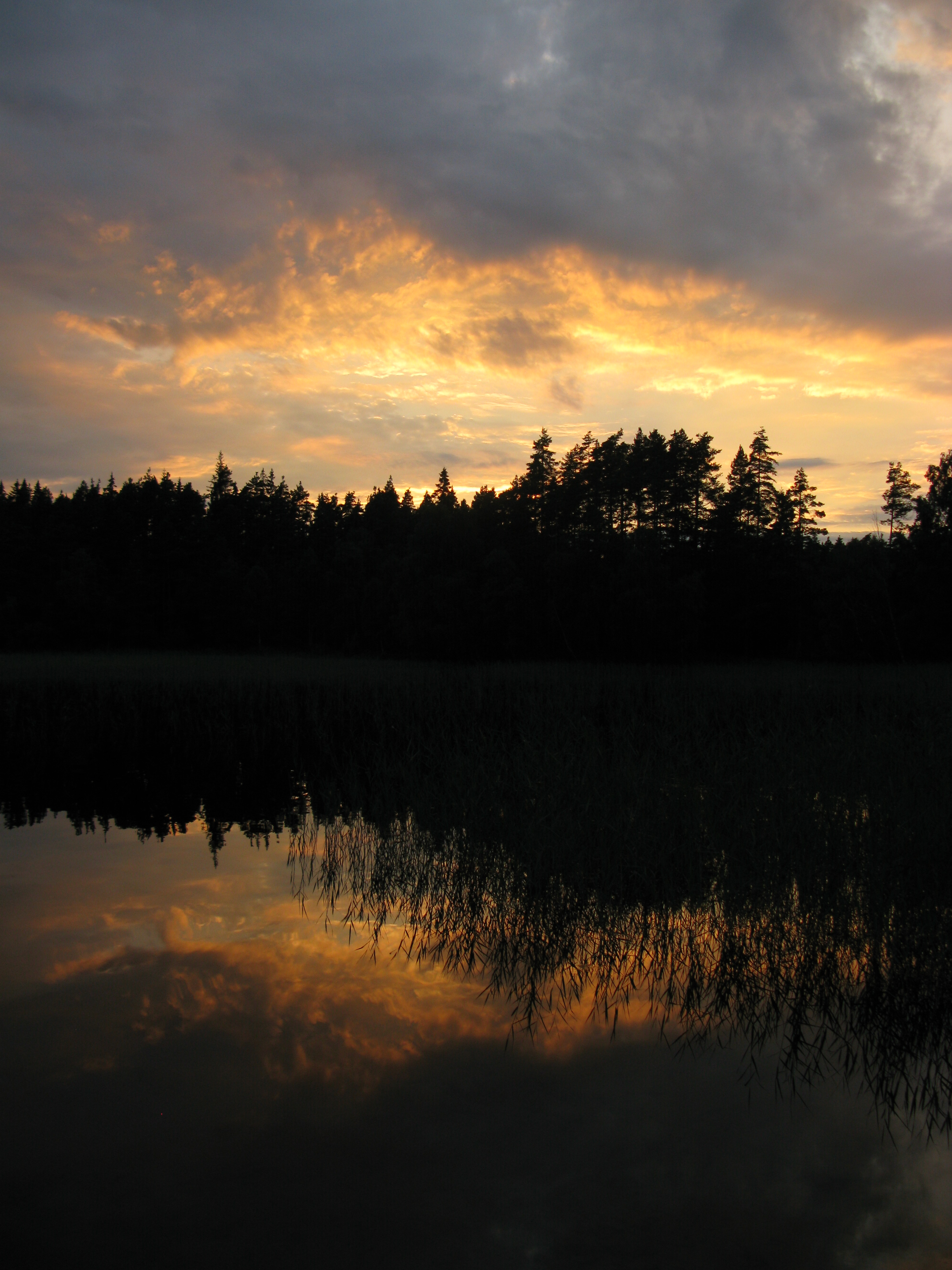
Morning Reflection

End of the road

Path To Autumn

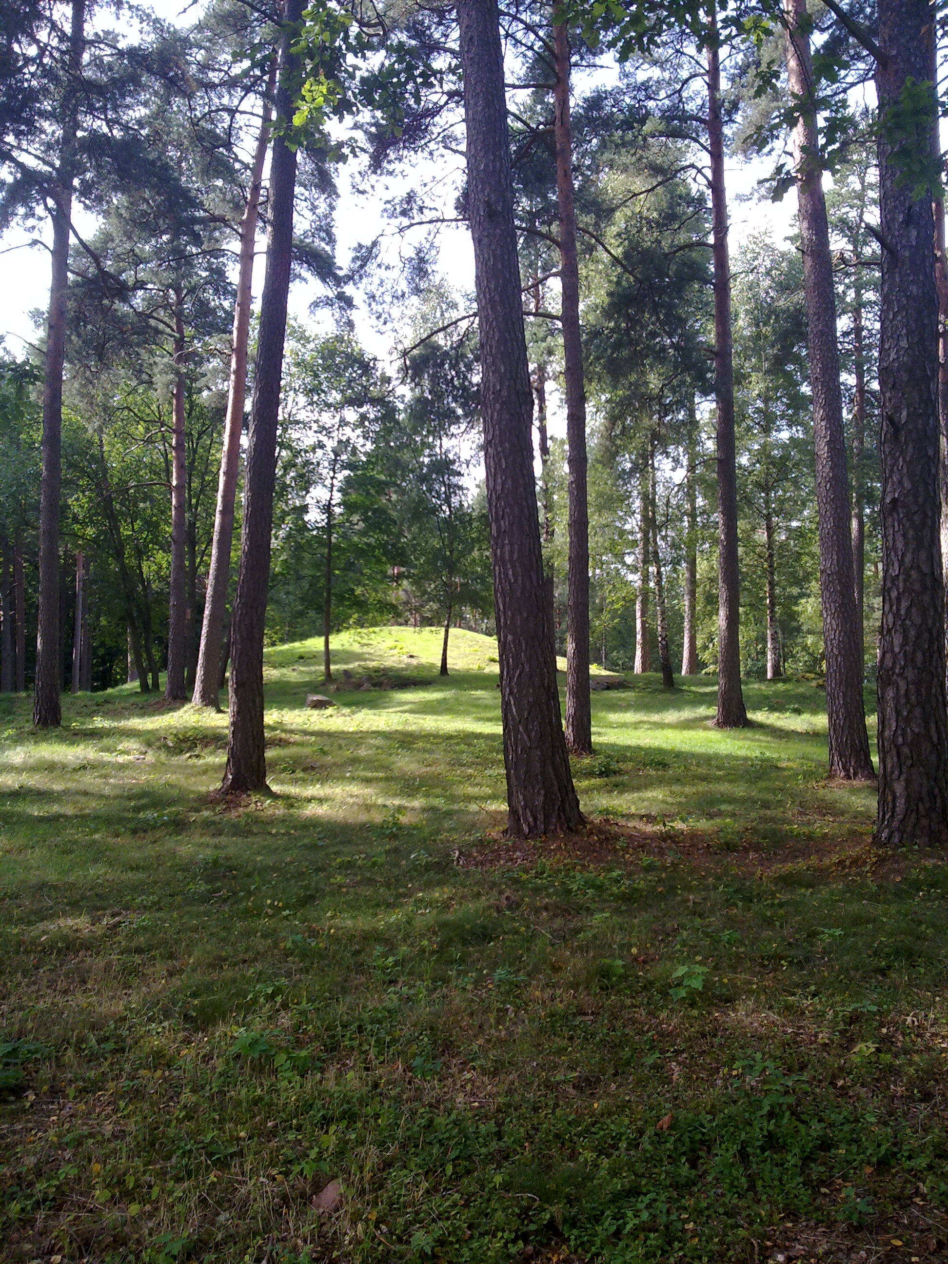
11. Pila kull
15. How the village of Hörda was populated after the Black Death

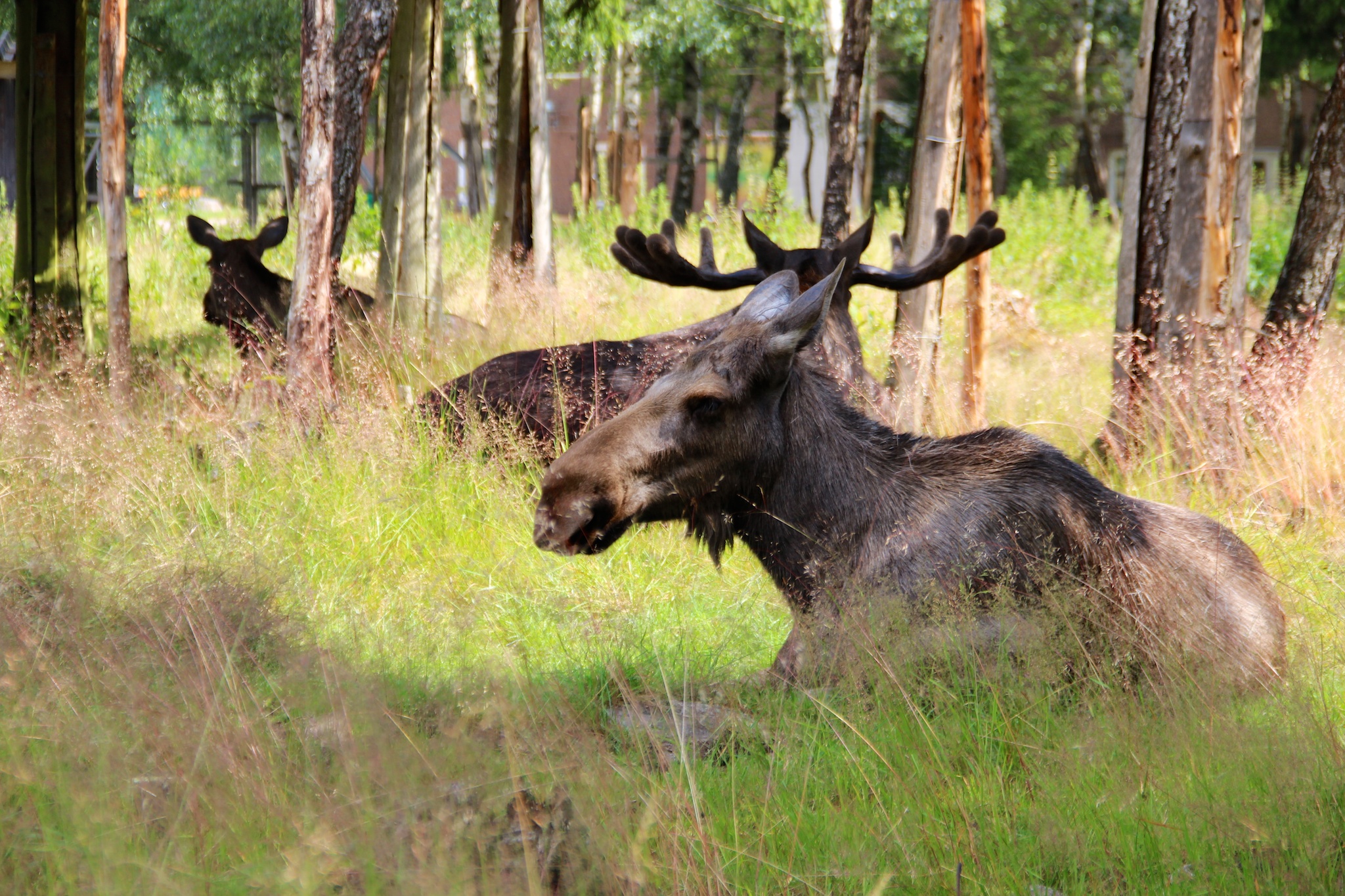
Movement in still life
Dark times ahead
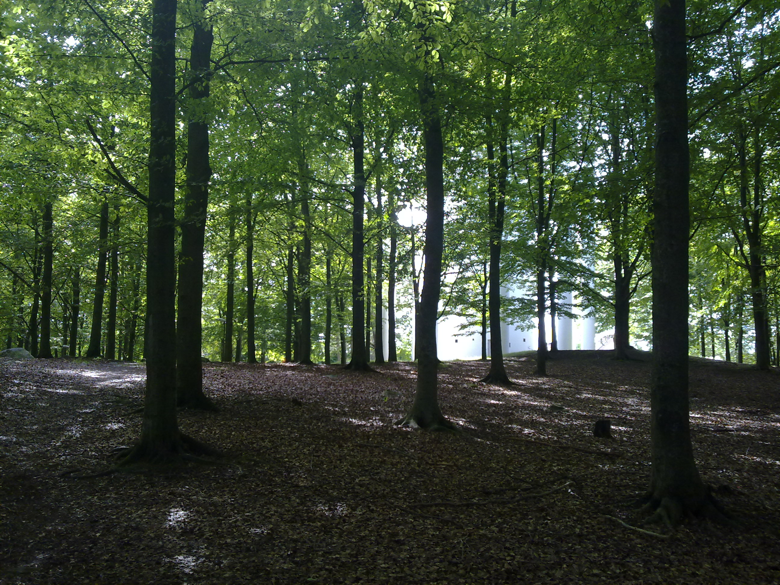
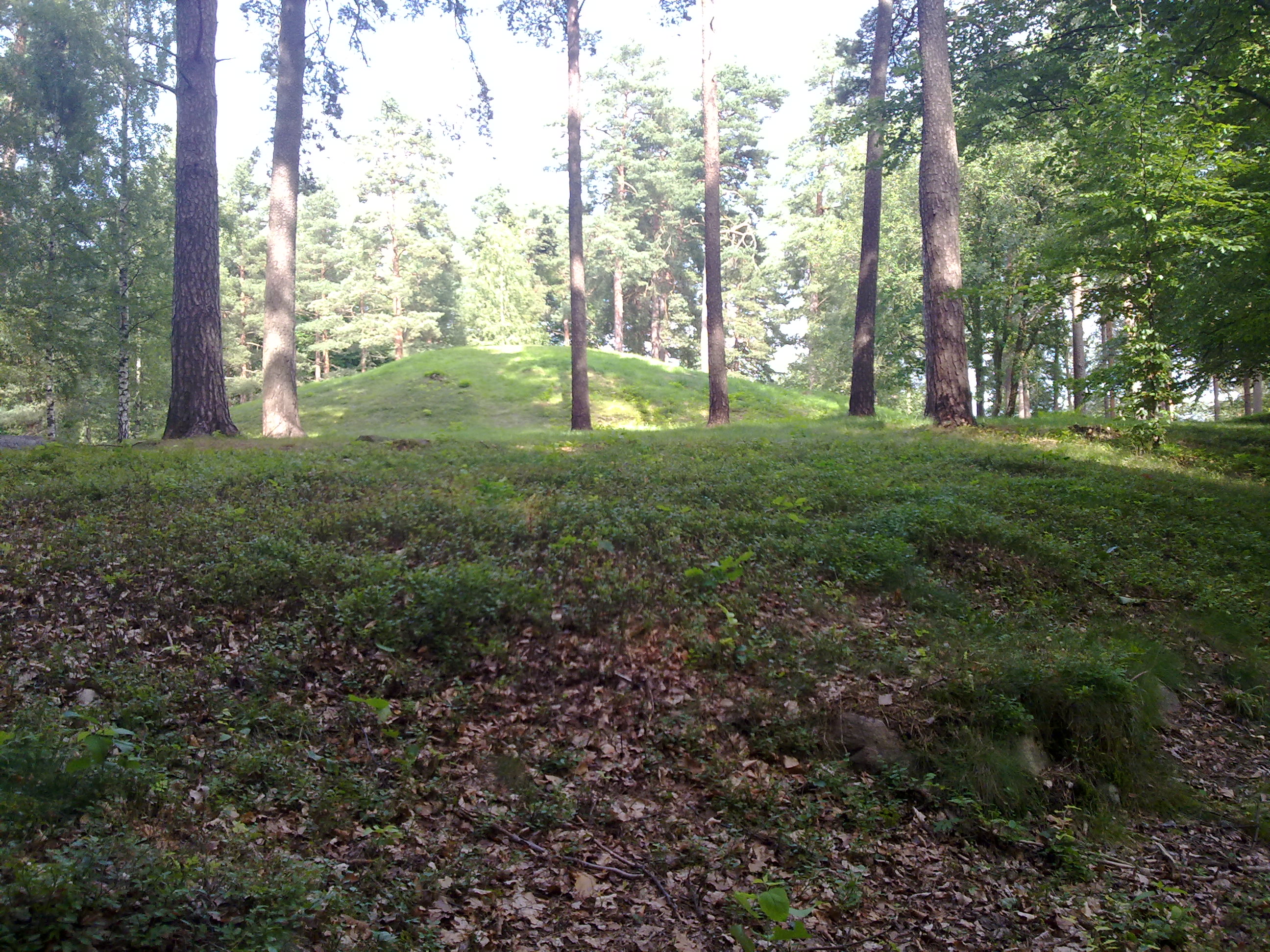
21. The treasure of Högarör
South Sweden
20140715 11-48-24 Schweden 281
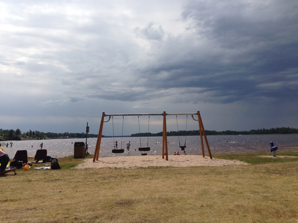
At Sjön Bolmen Camping
19. The Troll’s Blacksmith
16. The spring of Sankta Birte
16. The spring of Sankta Birte
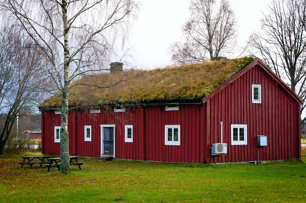
201008205574.jpg
201008205577.jpg
201008205575.jpg
Topographic Map of Ekebacken-Hjortsberg, Ljungby, Sweden
Find elevation by address:

Places in Ekebacken-Hjortsberg, Ljungby, Sweden:
Places near Ekebacken-Hjortsberg, Ljungby, Sweden:
Ljungby
2a
Ljungby S
Jägarstigen 4, 91 Ljungby, Sweden
Angelstads-bjärnaryd Skattegård 5, 94 Ljungby, Sweden
Ljungby N
Värnamo V
Kärdavägen 8, 95 Värnamo, Sweden
Värnamo
Elleböke, 96 Hallaryd, Sweden
Elleböke
Lagastigen
Nylund-rörstorp
Tallberga
Osby V
Osby
HESSLYCKE, 95 Visseltofta, Sweden
Realsbo, 83 Unnaryd, Sweden
Jälluntofta
Realsbo
Recent Searches:
- Elevation of Corso Fratelli Cairoli, 35, Macerata MC, Italy
- Elevation of Tallevast Rd, Sarasota, FL, USA
- Elevation of 4th St E, Sonoma, CA, USA
- Elevation of Black Hollow Rd, Pennsdale, PA, USA
- Elevation of Oakland Ave, Williamsport, PA, USA
- Elevation of Pedrógão Grande, Portugal
- Elevation of Klee Dr, Martinsburg, WV, USA
- Elevation of Via Roma, Pieranica CR, Italy
- Elevation of Tavkvetili Mountain, Georgia
- Elevation of Hartfords Bluff Cir, Mt Pleasant, SC, USA