Elevation of Edinburg Gap Rd, Edinburg, VA, USA

Location: United States > Virginia > Shenandoah County > > Edinburg >

Longitude: -78.527938

Latitude: 38.8122496

Elevation: 332m / 1089feet

Barometric Pressure: 97KPa

Elevation Map:

elevation map of Edinburg Gap Rd, Edinburg, VA, USA

Satellite Map:

Satellite map of Edinburg Gap Rd, Edinburg, VA, USA

Related Photos:

bridge rural virginia wooden country historic inside shenandoahriver coveredbridges interiorview mountjackson nikond60 ruralphotography backroadphotography
Interior View
virginia blueridgemountains skylinedrive shenandoahnationalpark
A view of the Blue Ridge Mountains and Shenandoah National Park, VA
mtview mountainview va virginia shenandoahcounty us11 leehighway court motel neon sign bmok forevermoorewed
Mt. View Court - US11 - Virginia
autumn mountains building beautiful architecture barn rural landscape virginia outdoor farm scenic va serene mountainview 2015 pagecounty jeremysrun
White Farm Next to Jeremys Run, Page County, VA
signs vintage court virginia cottage motel weathered roadside shenandoah northern edinburg mtview us11 us340 us211 us522 erjkprunczyk i81va
Virginia | Edinburg
flickrandroidapp:filter=none
The view through my windshield on I-81
shenandoahcounty va virginia mountains landscape vista farms guardrail 2016
Roadside View
sunset mountains virginia kennedypeak scenicviews pagevalley massanuttenmountain pagecounty
Tatum Hill Sunset, v. 2
sunset panorama mountain river virginia landscapes shenandoah woodstock shenandoahvalley woodstocktowerview
Woodstock_Va_towerview.jpg
mountains evening virginia kennedypeak scenicviews pagevalley massanuttenmountain pagecounty
Rainy Evening
sunset mountains virginia kennedypeak scenicviews tatumhill pagevalley massanuttenmountain pagecounty
Tatum Hill Sunset
trees summer greenleaves reflection water leaves river virginia rocks stream forrest falls rapids shenandoahvalley deadtrees movingwater naturescene calendarshots theworldthroughmyeyes easternnorthamericanature markschurig
Peters Mill Run upstream
Reverse Ring - Zs Pics
trees sunset summer sky mountains night clouds virginia forrest vista shenandoahvalley naturescene calendarshots theworldthroughmyeyes easternnorthamericanature top10nature markschurig
Woodstock Fire Tower
virginia agriculture shenandoahnationalpark
A view of Shenandoah National Park in the distance
2005 virginia may may2005 coveredbridges riversandstreams nrhp shenandoahcounty burrarchtruss northforkshenandoahriver virginiacoveredbridges meemsbottombridge
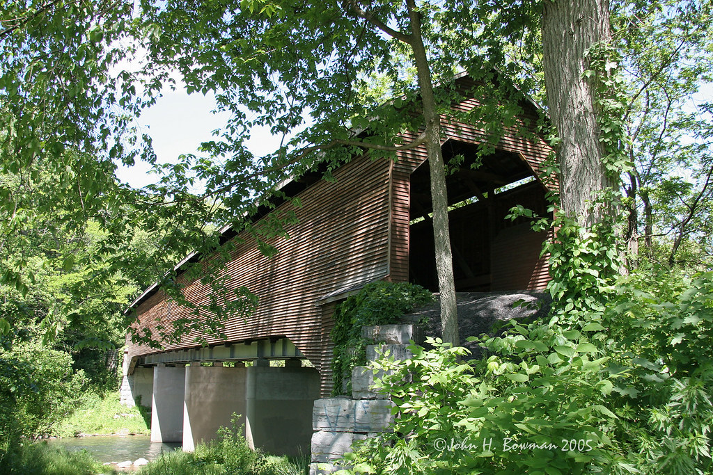
Meem's Bottom covered bridge - Virginia
coveredbridge outdoors naturallight meemsbottombridge shenandoahcounty virginia historic woodenstructure interior
A Bridge To The Past
usa virginia unitedstates northamerica hdr southernunitedstates 2px greatnorthmountain shenandoahcounty conicville ridgeandvalleyappalachians
View Of Great North Mountain From Conicville
virginia shenandoahvalley
Low light valley
virginia theater theatre movietheater mountjackson us11 shenandoahcounty nelsontheater
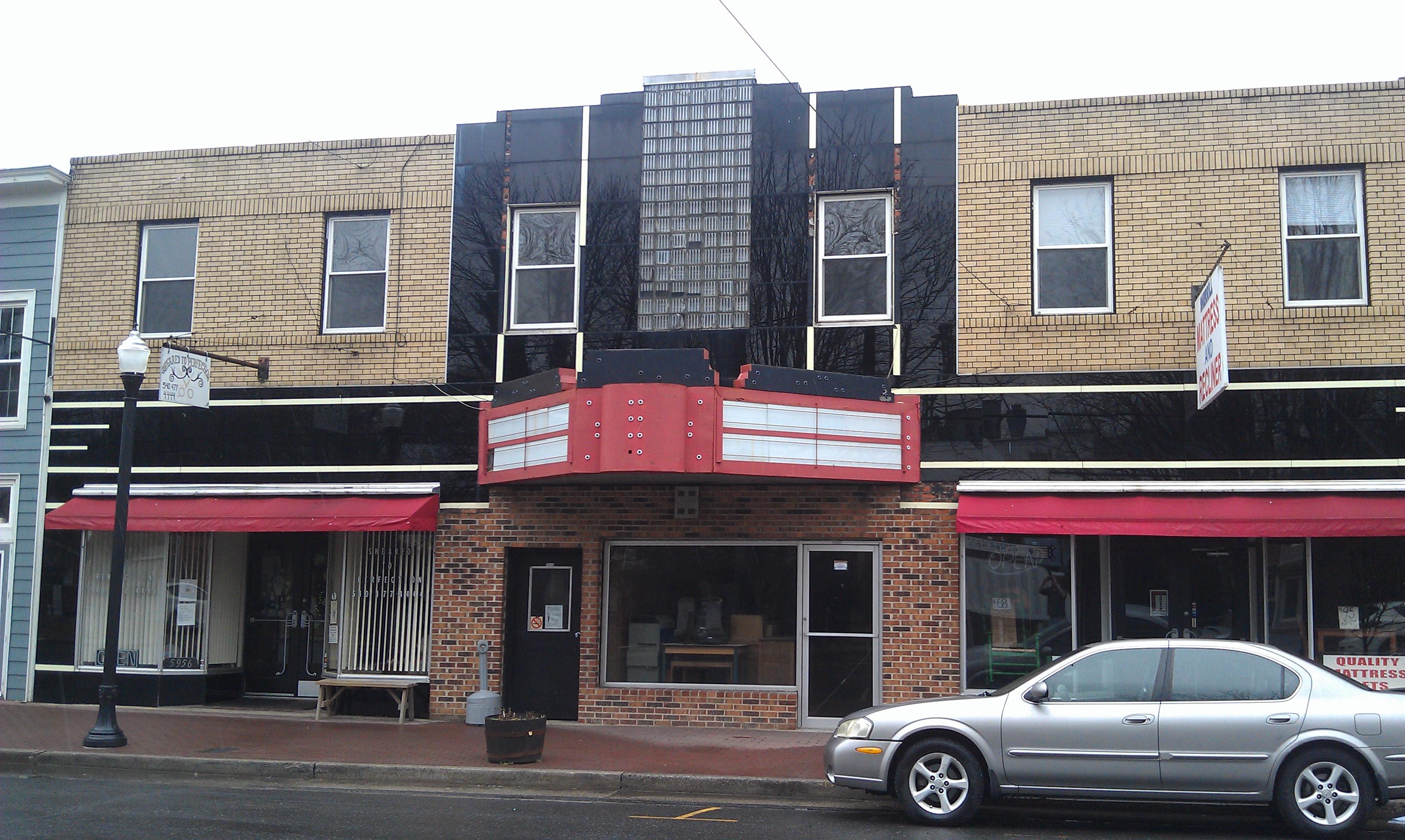
Nelson Theater- Mount Jackson VA (2)
morning sky clouds landscape virginia spring view hike westvirginia shenandoahvalley georgewashingtonnationalforest
Shenandoah Valley morning
IT'S RAINING IN COMPTON
georgewashingtonnationalforest sonynex3n virginia color fall foliage forest itscd landscape leaves nationalpark nature nps outdoor photographer photography prime shenandoah shenandoahnationalpark sony travel usa va
Fall colors
river virginia north fork jackson mount shenandoah
Virginia - Meems Bottom Covered Bridge - Mount Jackson Virginia - North Fork Shenandoah River 1995
rays morning sunrays landscape virginia nature mountains sky farm blueridgemountains apples clouds mountjackson unitedstatesofamerica
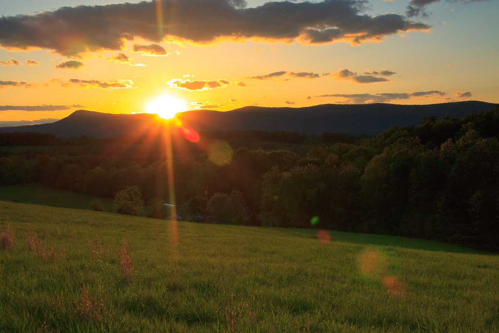
Blue Ridge Morning Sun
usa landscape sunset dirtroad weather luray clouds hdr locationrecorded lrhdr virginia building manipulations scenic lightroomhdr architecture mountains shed johnanddebrasesslersfarm road field highdynamicrange mountain us
Sunset at Sessler's Farm
autumn mountains beautiful river landscape virginia outdoor scenic va serene shenandoahriver 2015 warrencounty overallrun southbranch
South Fork of The Shenandoah River at Overall Run, Warren County, VA
fallfoliage blueridgeparkway skylinedrive shenandoahnationalpark
rain clouds over Shenandoah National Park, Massenuten Mountain
trees art field farmhouse barn forest landscape outside cow photo high cows image outdoor farm altitude stock over creative free commons silo license walt overhead graze wls stoneburner waltstoneburner
Over The Barn
wood trees mist tree green art forest landscape outside photo woods image outdoor stock creative free commons license greenery layers walt overhead wls stoneburner waltstoneburner
Over The Tree Tops
autumn fall forest virginia us unitedstates luray georgewashingtonnationalforest stricklerknob
Appalachian Forest in Fall
river virginia americathebeautiful
Burnshire Dam- Shenandoah Co VA 2005 (5)
river virginia americathebeautiful
Burnshire Dam- Shenandoah Co VA 2005 (2)