Elevation of Edgerton Hwy, Copper Center, AK, USA
Location: United States > Alaska > Valdez-cordova >
Longitude: -144.68522
Latitude: 61.6718157
Elevation: 338m / 1109feet
Barometric Pressure: 97KPa
Elevation Map:
Satellite Map:
Related Photos:

Liberty Falls

valdez_ DSC01222
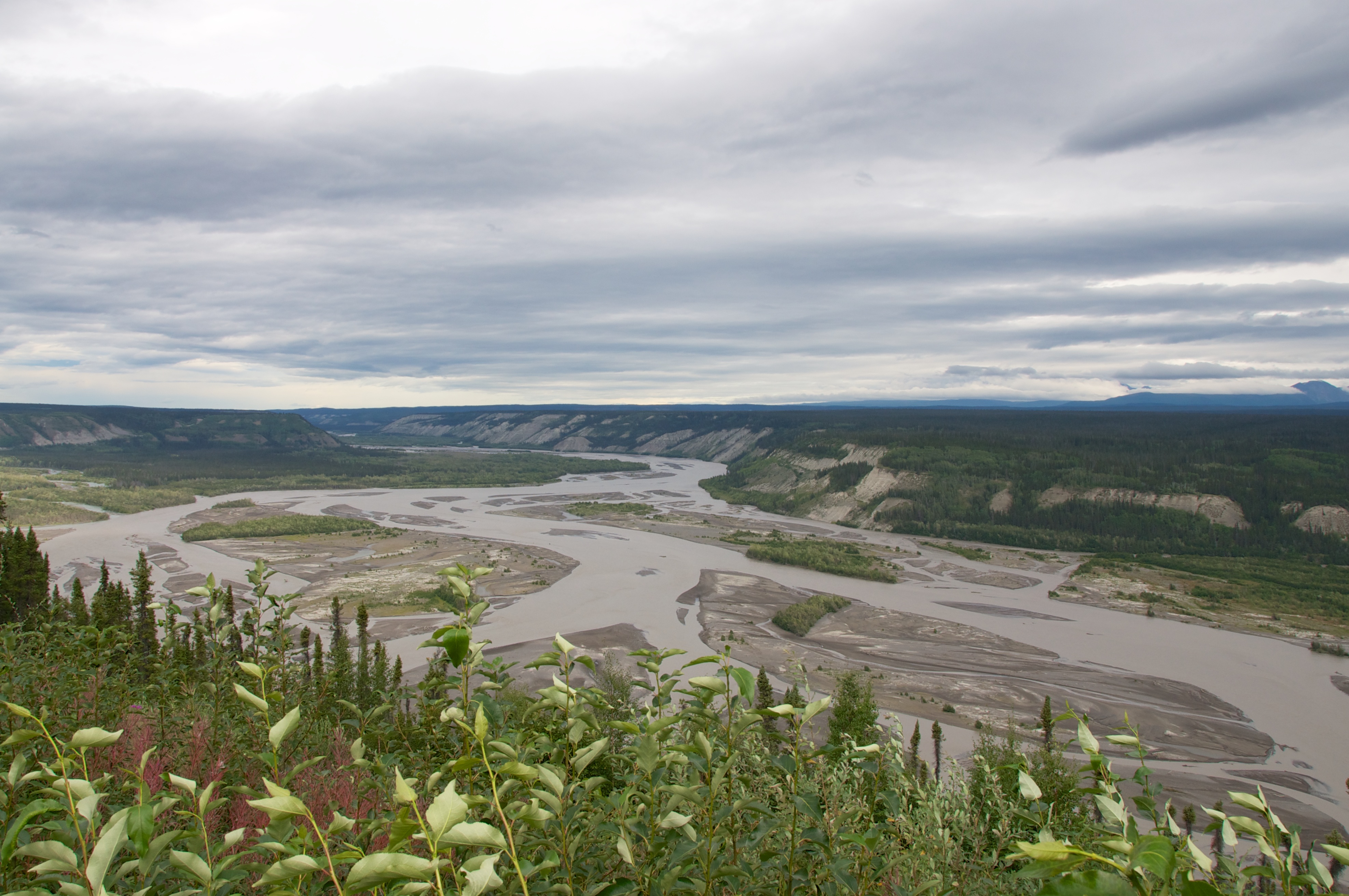
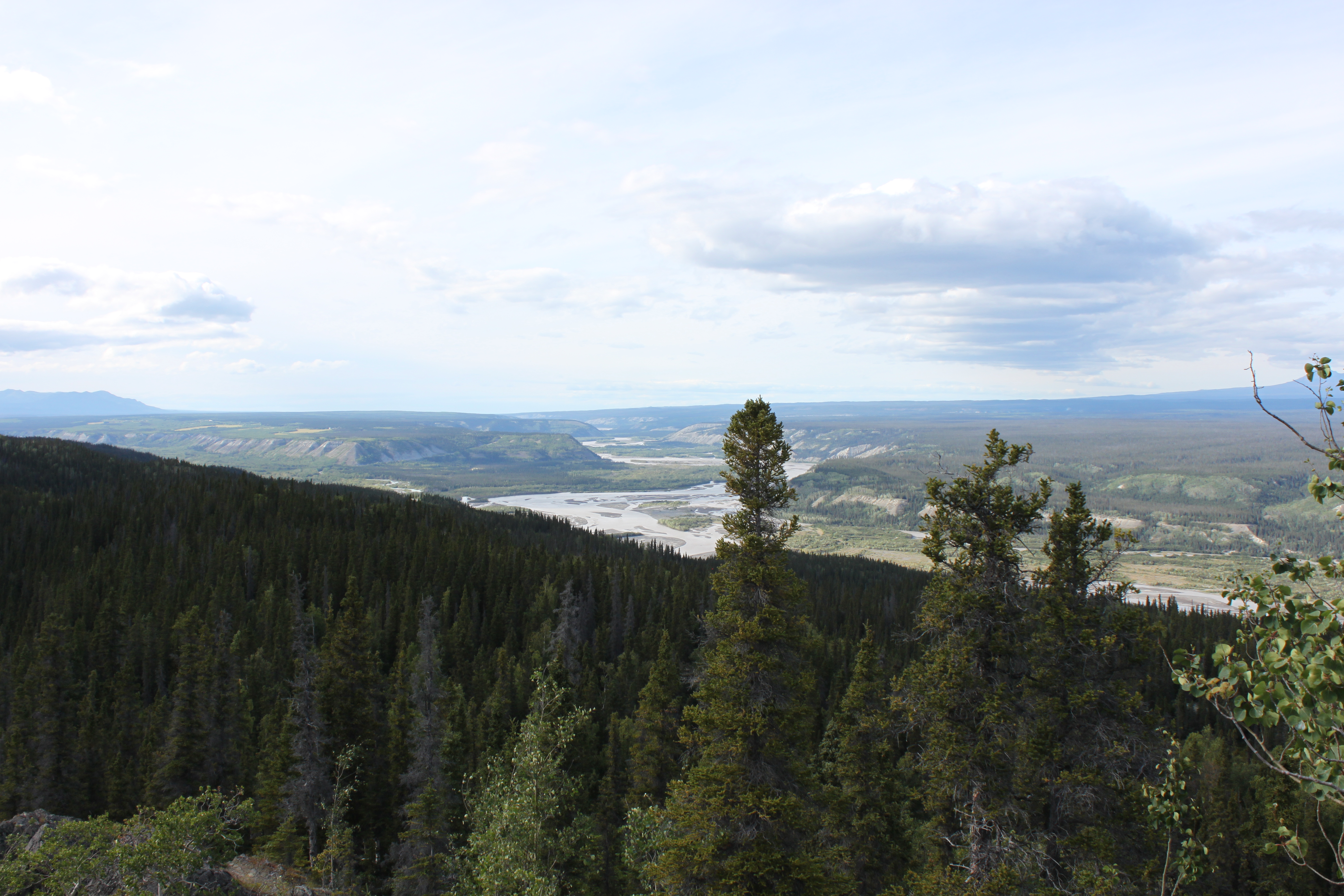
upon the river

To the East.

valdez_ DSC01219
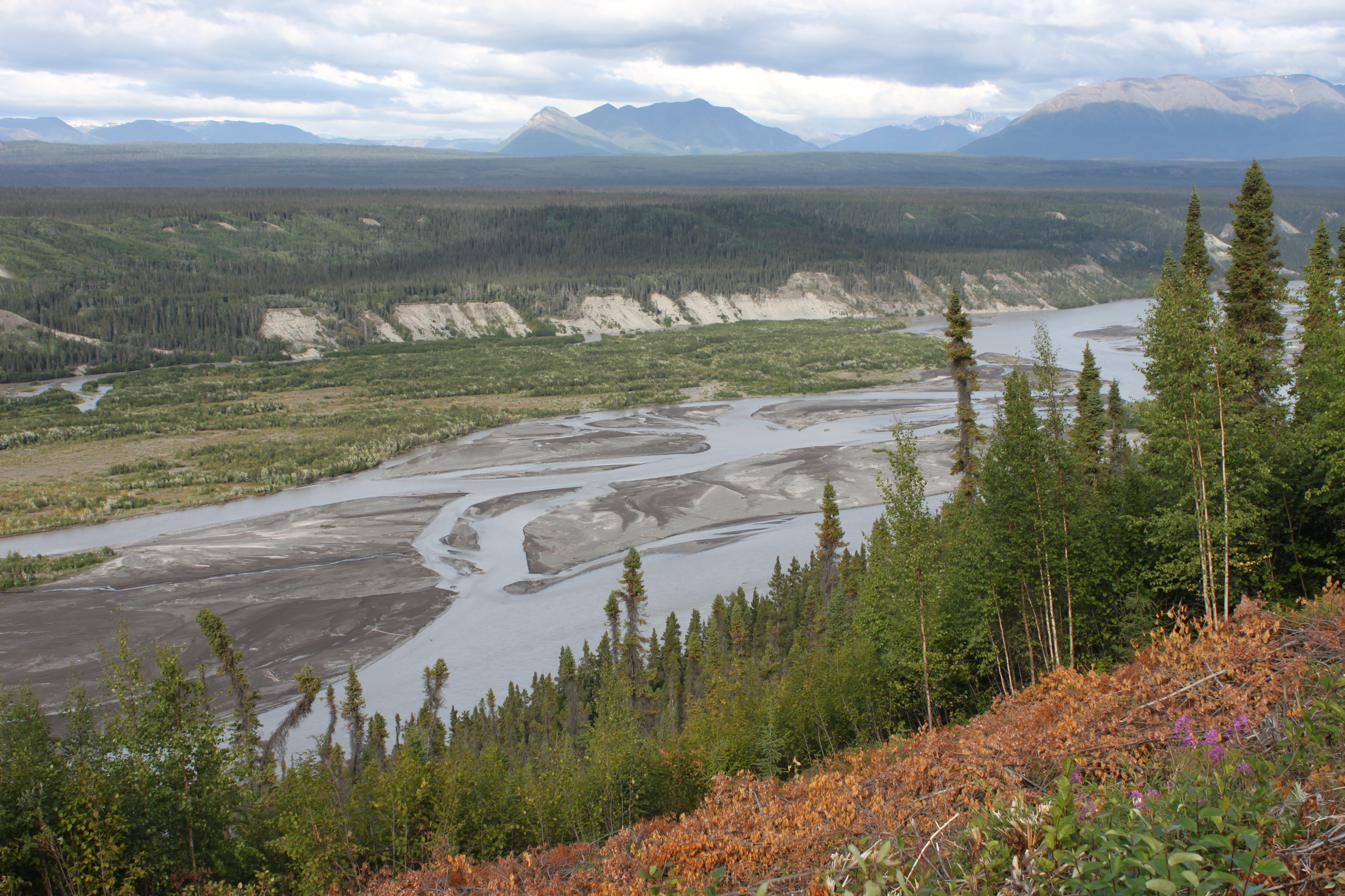
Copper River
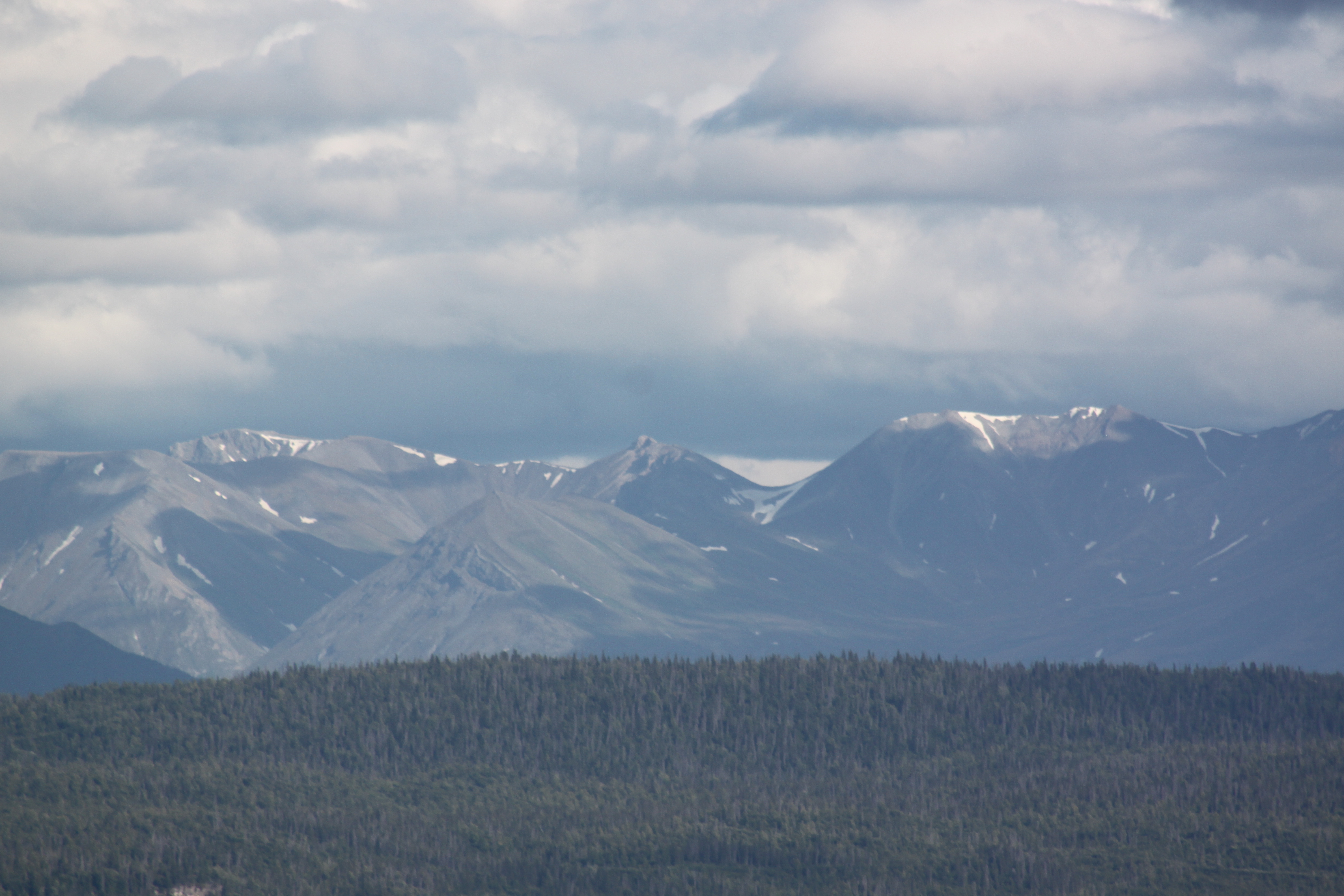
Wrangell St.Elias National Park
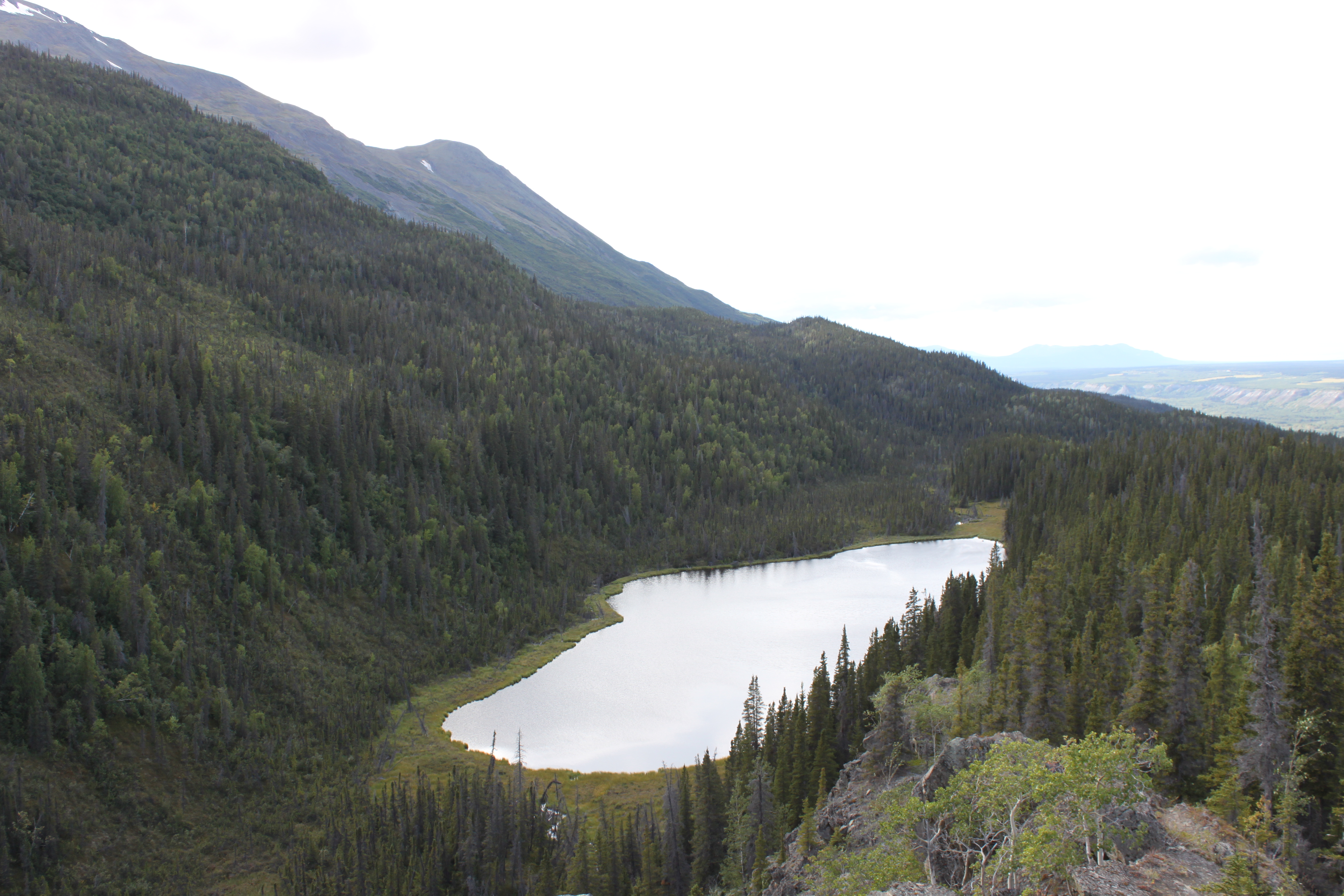
Small Lake
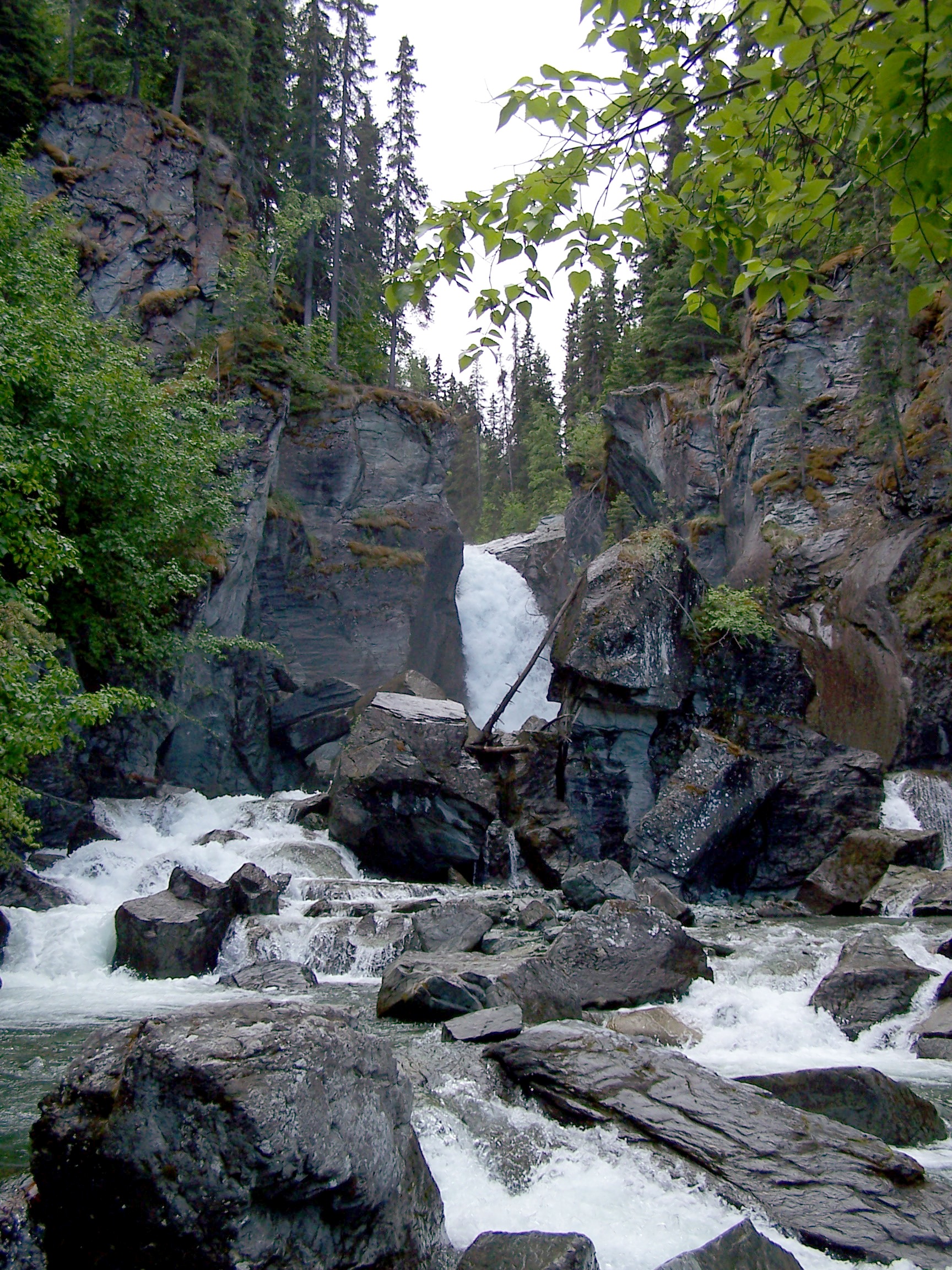
Liberty Falls
Liberty Falls Trail

Liberty Falls
Liberty Falls Trail
Liberty Falls Trail

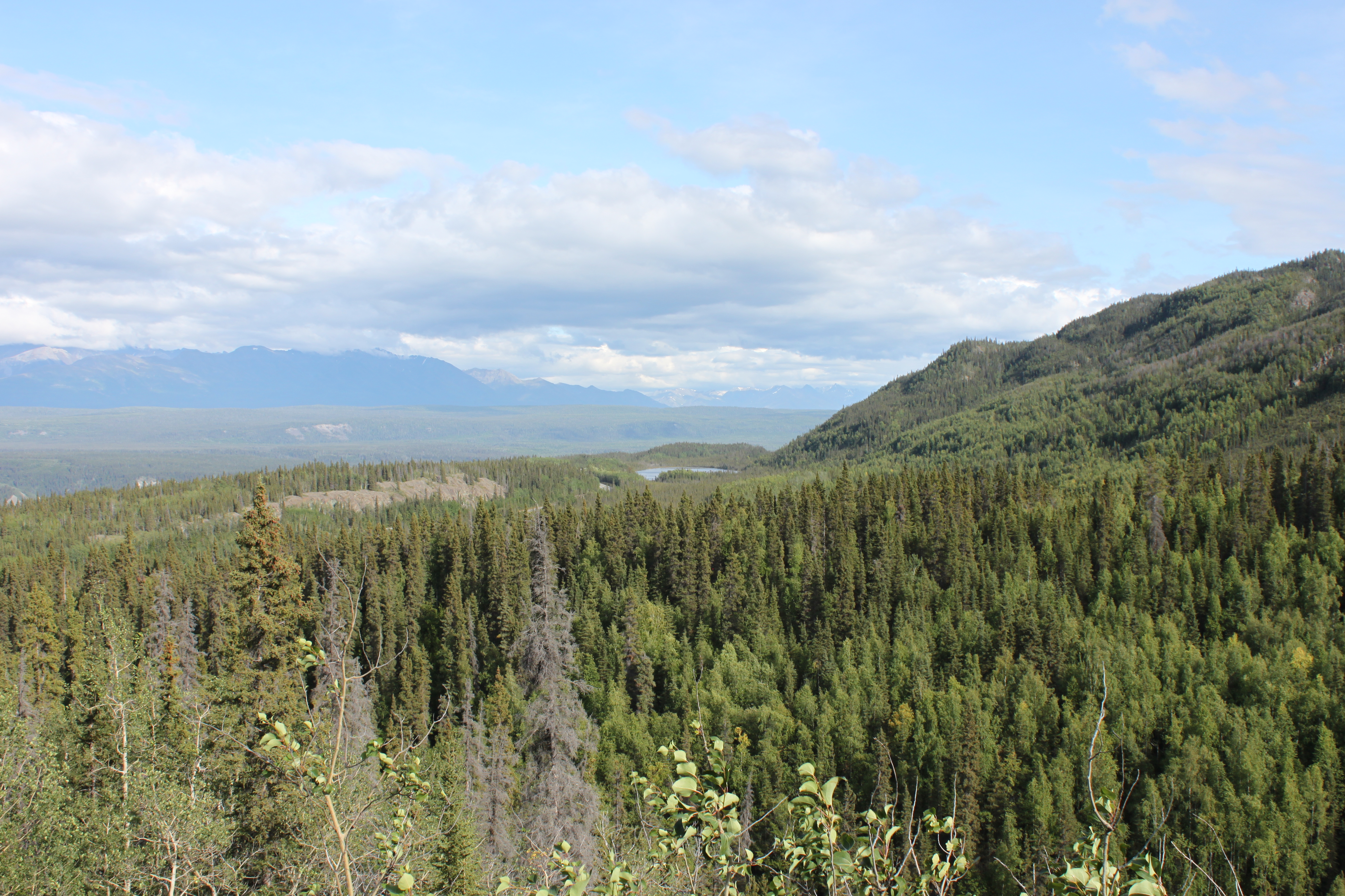
Road side.

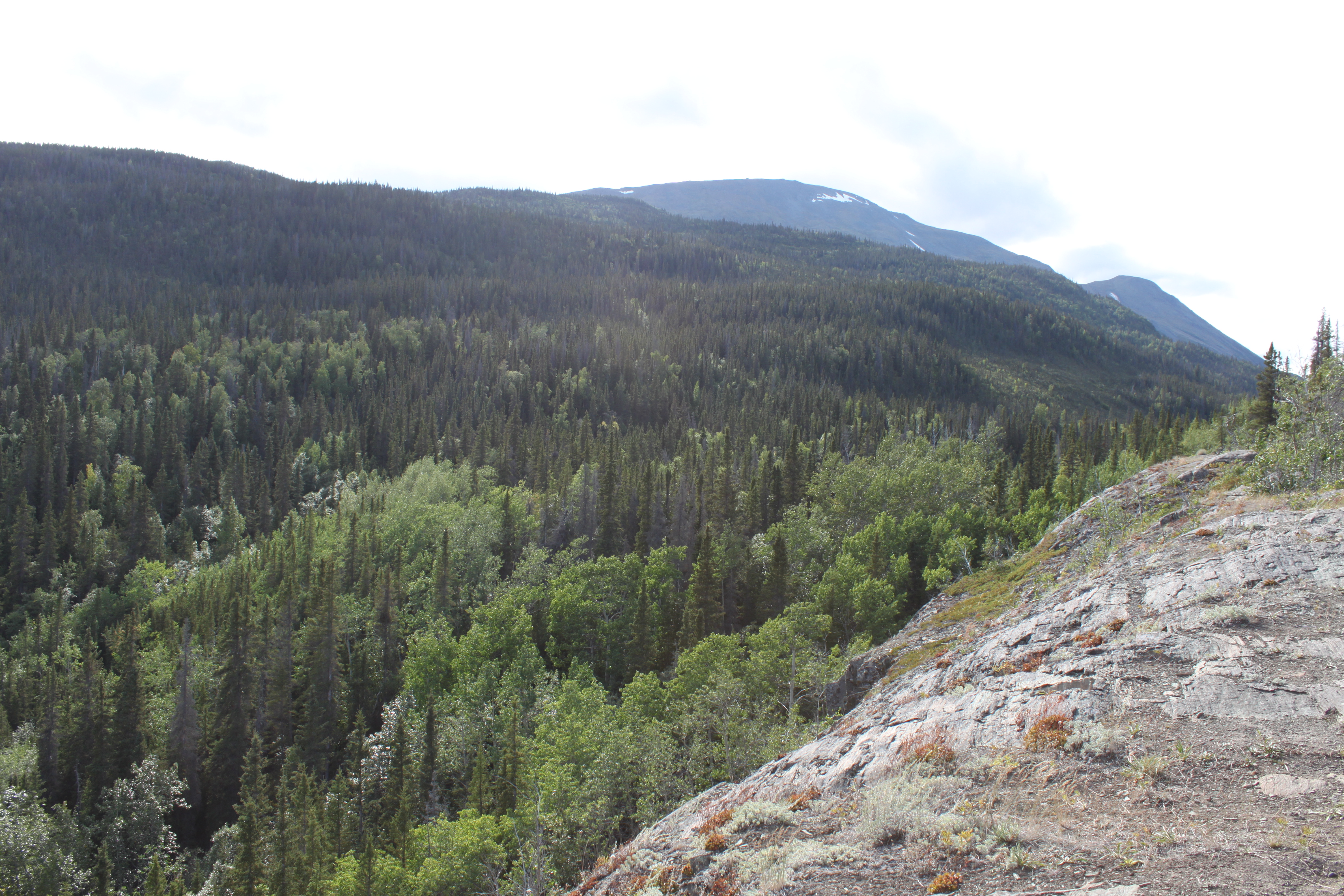
Tree Family.

alaska_4_jul-017

alaska_4_jul-032
Topographic Map of Edgerton Hwy, Copper Center, AK, USA
Find elevation by address:

Places near Edgerton Hwy, Copper Center, AK, USA:
Recent Searches:
- Elevation of Corso Fratelli Cairoli, 35, Macerata MC, Italy
- Elevation of Tallevast Rd, Sarasota, FL, USA
- Elevation of 4th St E, Sonoma, CA, USA
- Elevation of Black Hollow Rd, Pennsdale, PA, USA
- Elevation of Oakland Ave, Williamsport, PA, USA
- Elevation of Pedrógão Grande, Portugal
- Elevation of Klee Dr, Martinsburg, WV, USA
- Elevation of Via Roma, Pieranica CR, Italy
- Elevation of Tavkvetili Mountain, Georgia
- Elevation of Hartfords Bluff Cir, Mt Pleasant, SC, USA