Elevation map of Eastern Samar, Philippines
Location: Philippines > Eastern Visayas >
Longitude: 125.499990
Latitude: 11.5000731
Elevation: 6m / 20feet
Barometric Pressure: 101KPa
Elevation Map:
Satellite Map:
Related Photos:

easy grind

Sunset of the day

Fire sunset
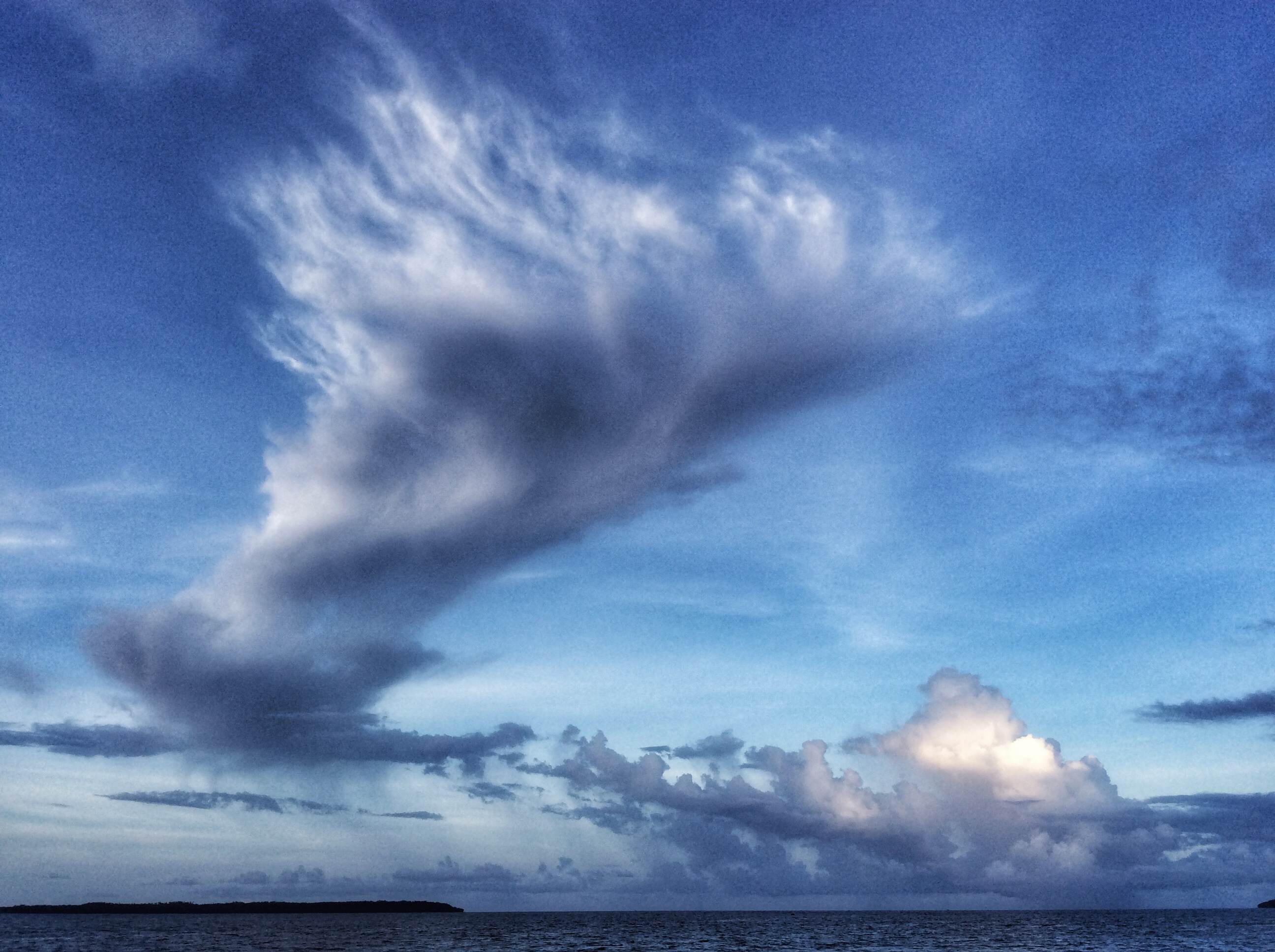
Angel cloud wing

Pano sunset

Calm sea

Good morning #Borongan!

S is for sinful. #ChocolateOverload #Sinful

Greg Gore Ray says, "Merry Christmas to all. " #GregGoreRay
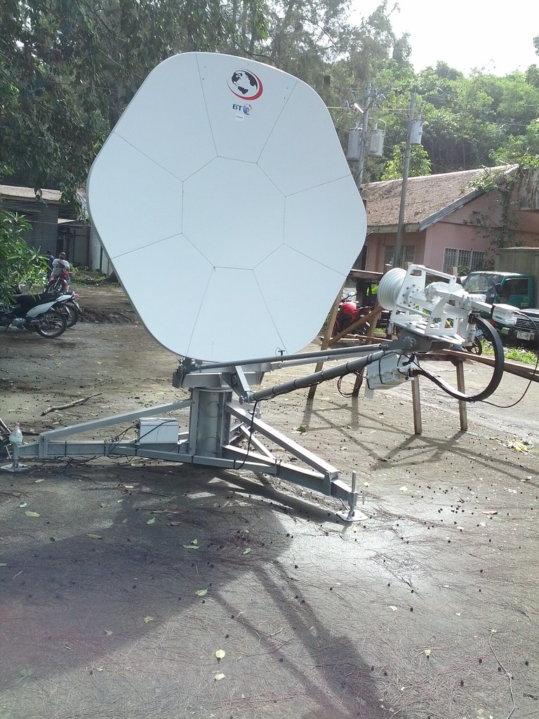
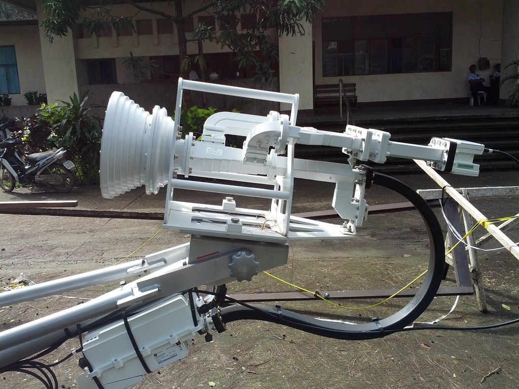
Complete Set Up
Donated Satellite
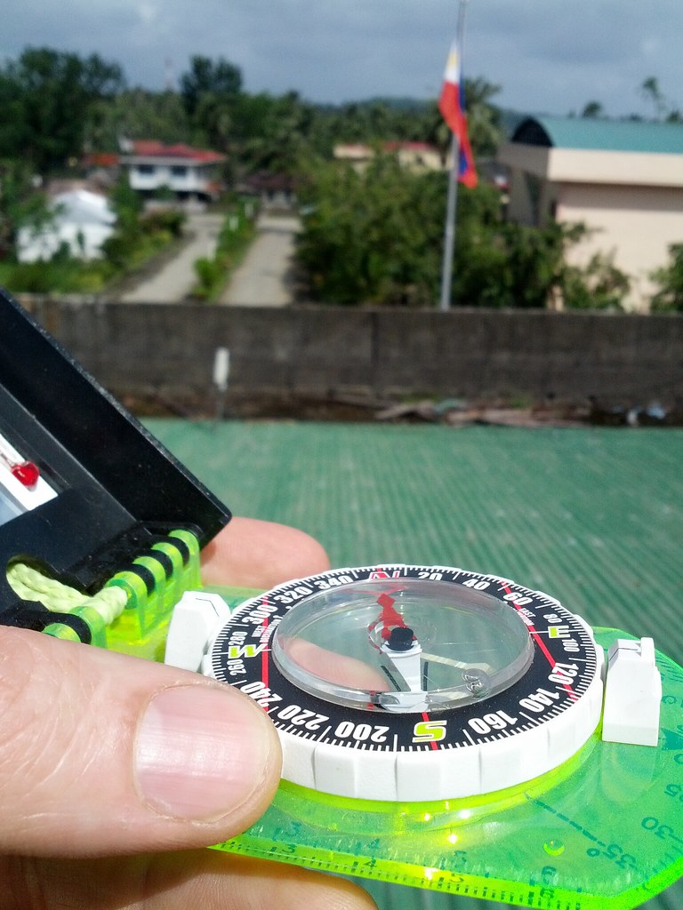
Site Surveys
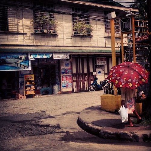
Old house, old street, old woman, new umbrella. :)
Topographic Map of Eastern Samar, Philippines
Find elevation by address:

Places in Eastern Samar, Philippines:
Places near Eastern Samar, Philippines:
Recent Searches:
- Elevation of Corso Fratelli Cairoli, 35, Macerata MC, Italy
- Elevation of Tallevast Rd, Sarasota, FL, USA
- Elevation of 4th St E, Sonoma, CA, USA
- Elevation of Black Hollow Rd, Pennsdale, PA, USA
- Elevation of Oakland Ave, Williamsport, PA, USA
- Elevation of Pedrógão Grande, Portugal
- Elevation of Klee Dr, Martinsburg, WV, USA
- Elevation of Via Roma, Pieranica CR, Italy
- Elevation of Tavkvetili Mountain, Georgia
- Elevation of Hartfords Bluff Cir, Mt Pleasant, SC, USA