Elevation map of Eastern Equatoria, South Sudan
Location: South Sudan >
Longitude: 33.438353
Latitude: 5.0692995
Elevation: 533m / 1749feet
Barometric Pressure: 95KPa
Elevation Map:
Satellite Map:
Related Photos:

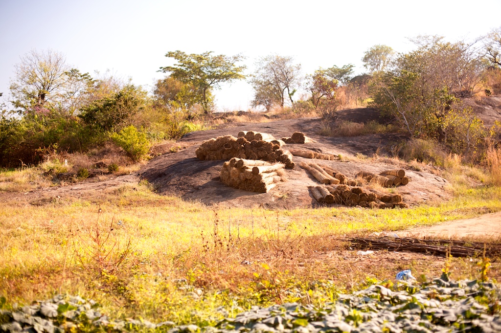
South Sudan 1998: Eastern Equatoria roadside
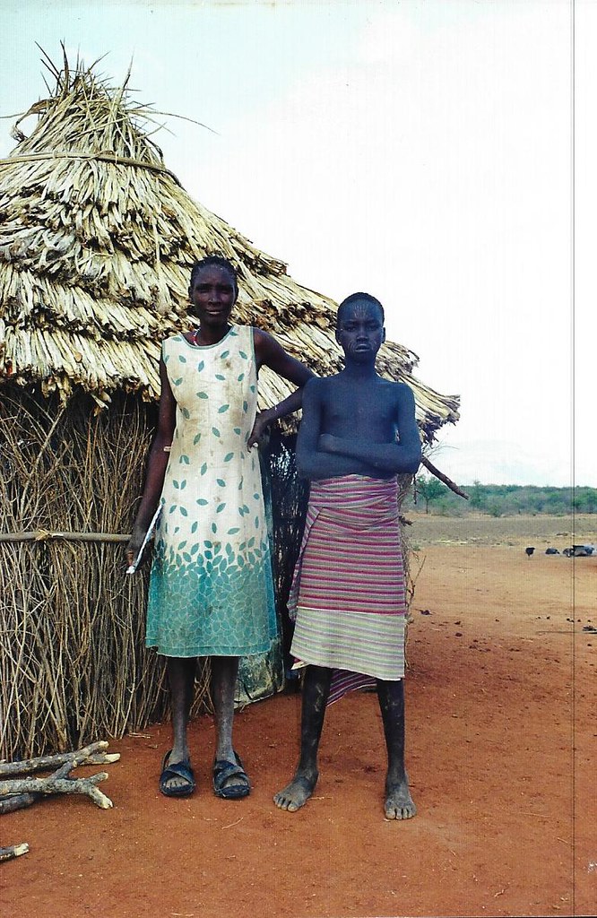
South Sudan 1998: Eastern Equatoria Toposa village

South Sudan 1998: Eastern Equatoria Toposa village

South Sudan 1998: Eastern Equatoria Toposa village

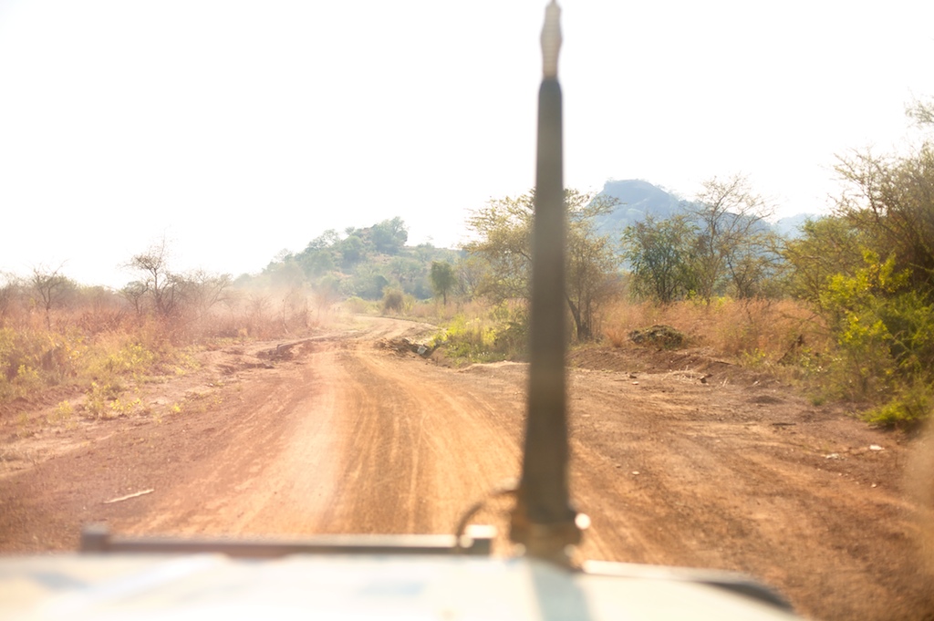
South Sudan 1998: Eastern Equatoria road

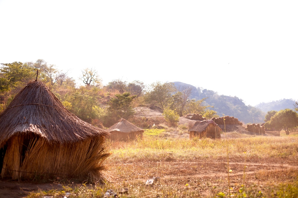
South Sudan 1998: Eastern Equatoria Toposa settlement

South Sudan 1998: Eastern Equatoria Toposa settlement

Local communities and cattle

Image from page 449 of "In darkest Africa; or, the quest, rescue, and retreat of Emin, governor of Equatoria" (1913)

White Nile outside Juba
British Library digitised image from page 198 of "Dieci anni in Equatoria e ritorno con Emin Pascia ... Con ... illustrazioni e ... carte, etc [With a portrait.]"
Local communities

Local communities in Kapoeta

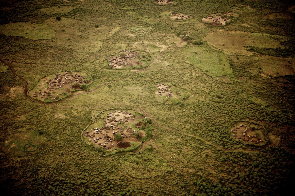
Plains of South Sudan

Image from page 988 of "In darkest Africa; or, the quest, rescue, and retreat of Emin, governor of Equatoria" (1913)

Dry river bed fading into the clouds

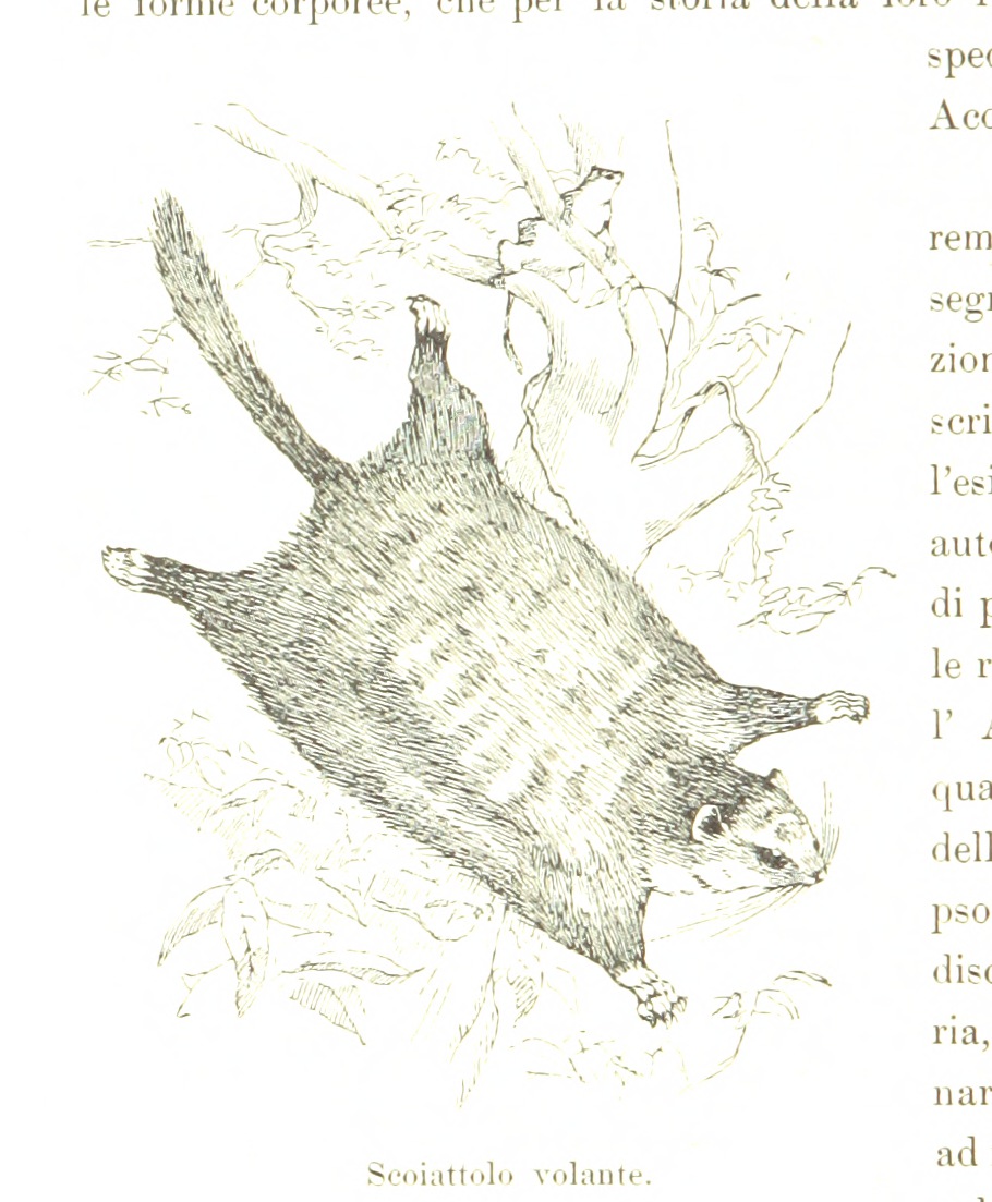
Image from page 74 of "The royal natural history" (1893)

Local communities and cultivated land

Dry river bed

Dry river bed

Cattle passing on a local road in inhabited area

Local communities in remote area

Dry river bed in Kapoeta South

The Eastern Equatoria region of South Sudan is filled with large hills.

Rocks (Kaviva, Kimatong, EES)

On the Watch (Kaviva, Kimatong, EES)

_MG_8480 | South Sudan landscape

_MG_8503 | South Sudan landscape

Can you see the fishermen

Hiyala ‘payam’ or district

_MG_8484 | South Sudan landscape
_MG_8502 | South Sudan landscape

_MG_8501 | South Sudan landscape

_MG_8498 | South Sudan landscape
_MG_8500 | South Sudan landscape

_MG_8495 | South Sudan landscape

_MG_8488 | South Sudan landscape

_MG_8487 | South Sudan landscape
_MG_8464 | South Sudan landscape

_MG_8461 | South Sudan landscape

_MG_8485 | South Sudan landscape

_MG_8455 | South Sudan landscape
Topographic Map of Eastern Equatoria, South Sudan
Find elevation by address:

Places in Eastern Equatoria, South Sudan:
Places near Eastern Equatoria, South Sudan:
Recent Searches:
- Elevation of Corso Fratelli Cairoli, 35, Macerata MC, Italy
- Elevation of Tallevast Rd, Sarasota, FL, USA
- Elevation of 4th St E, Sonoma, CA, USA
- Elevation of Black Hollow Rd, Pennsdale, PA, USA
- Elevation of Oakland Ave, Williamsport, PA, USA
- Elevation of Pedrógão Grande, Portugal
- Elevation of Klee Dr, Martinsburg, WV, USA
- Elevation of Via Roma, Pieranica CR, Italy
- Elevation of Tavkvetili Mountain, Georgia
- Elevation of Hartfords Bluff Cir, Mt Pleasant, SC, USA