Elevation of East Greenmount QLD, Australia
Location: Australia > Queensland > Toowoomba Regional >
Longitude: 151.95
Latitude: -27.783333
Elevation: 542m / 1778feet
Barometric Pressure: 95KPa
Elevation Map:
Satellite Map:
Related Photos:

Near Greenmount
The Edge
Near Greenmount

Wirths' Circus at Clifton Station ca 1917

Two horsedrawn buggies traversing some water at Clifton

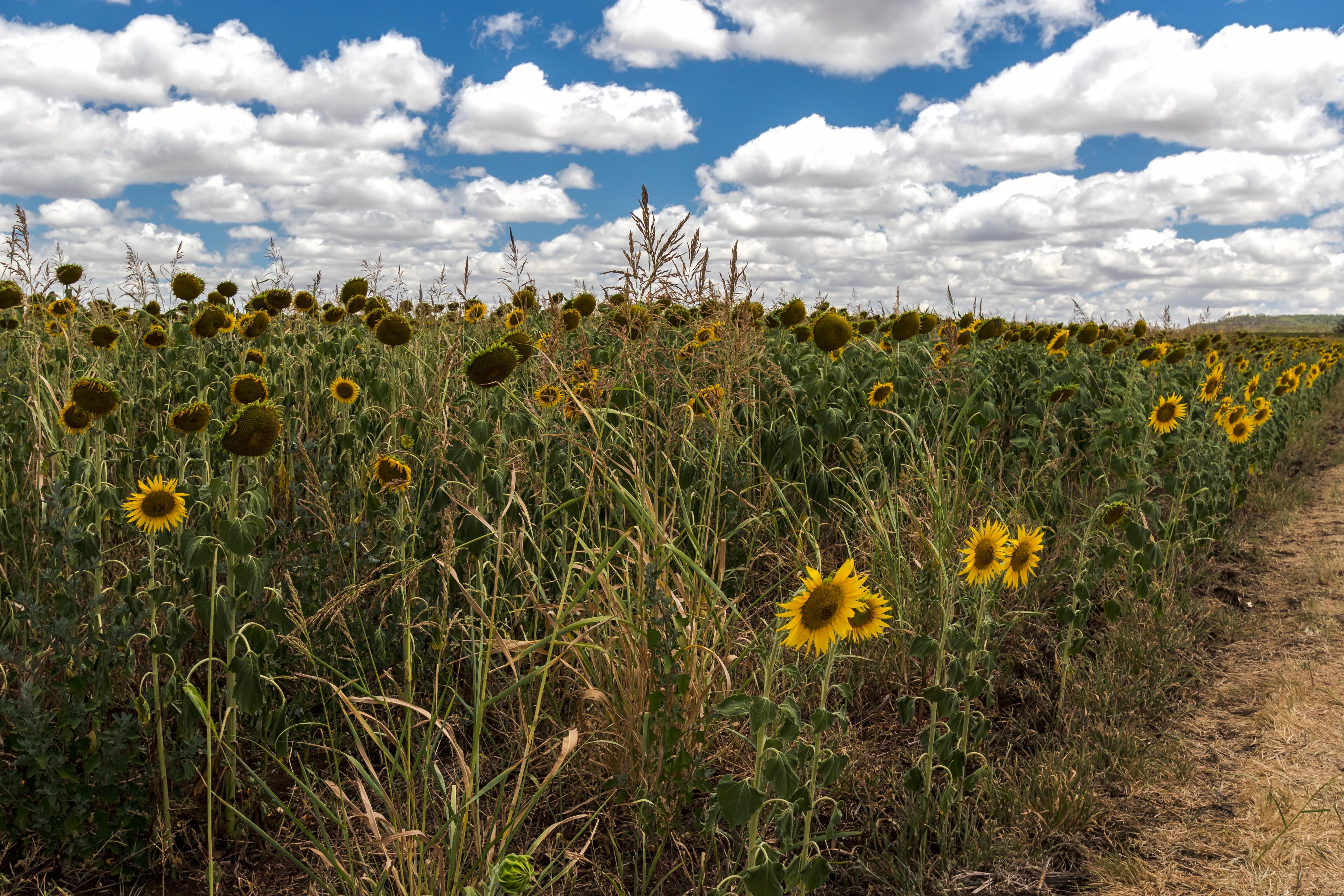
Colours of Australia.

Near Greenmount

Near Greenmount

Near Greenmount

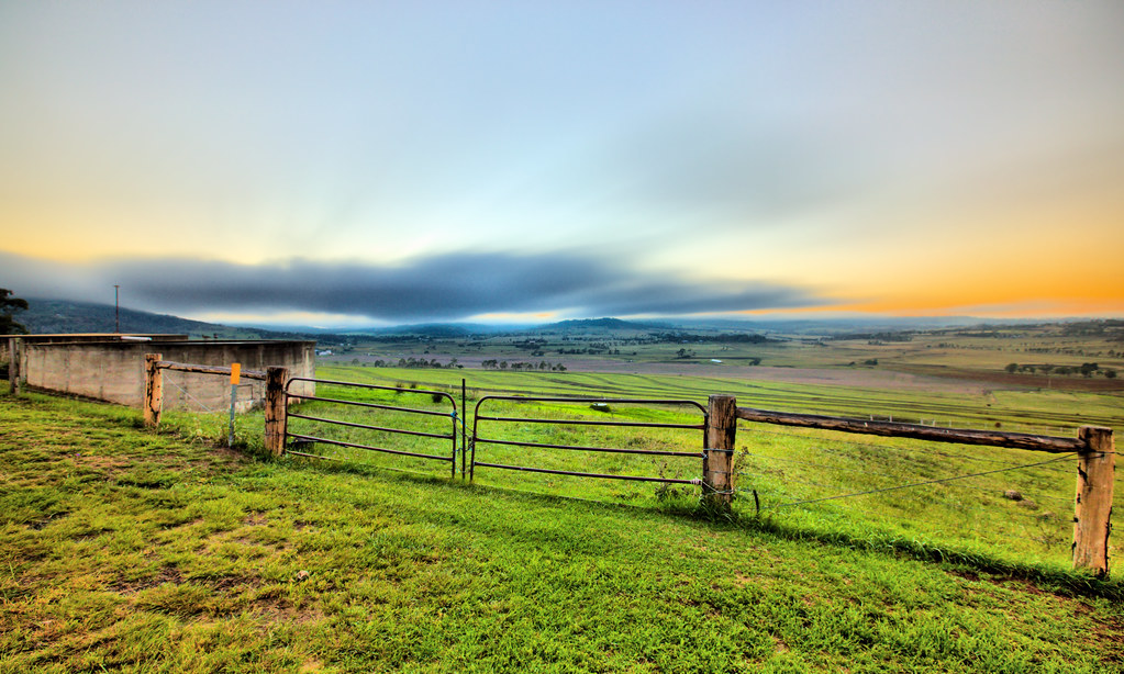
View over the Valley

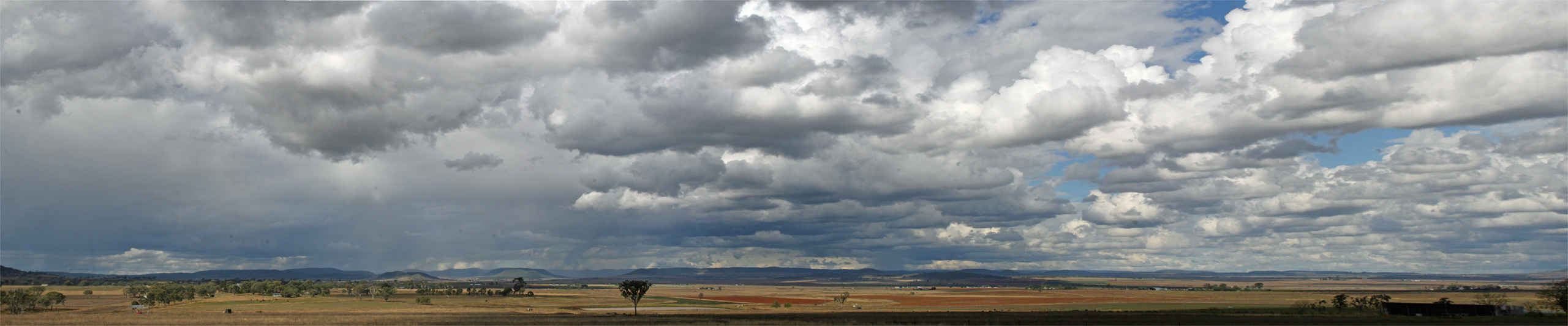
Panoramic View of the Valley

bridge between two worlds
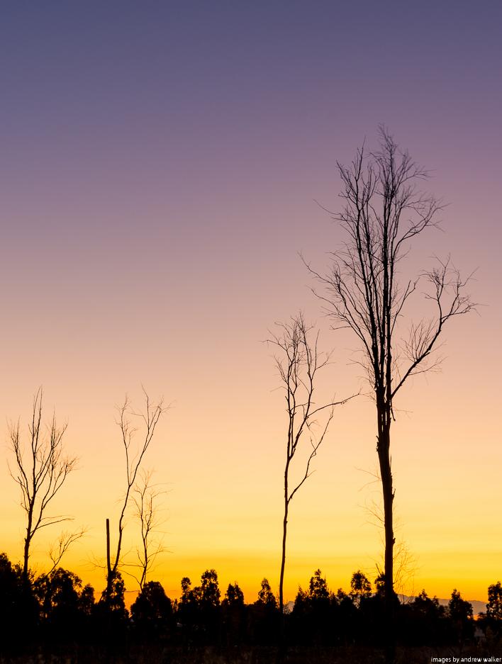
Cambooya Sunset

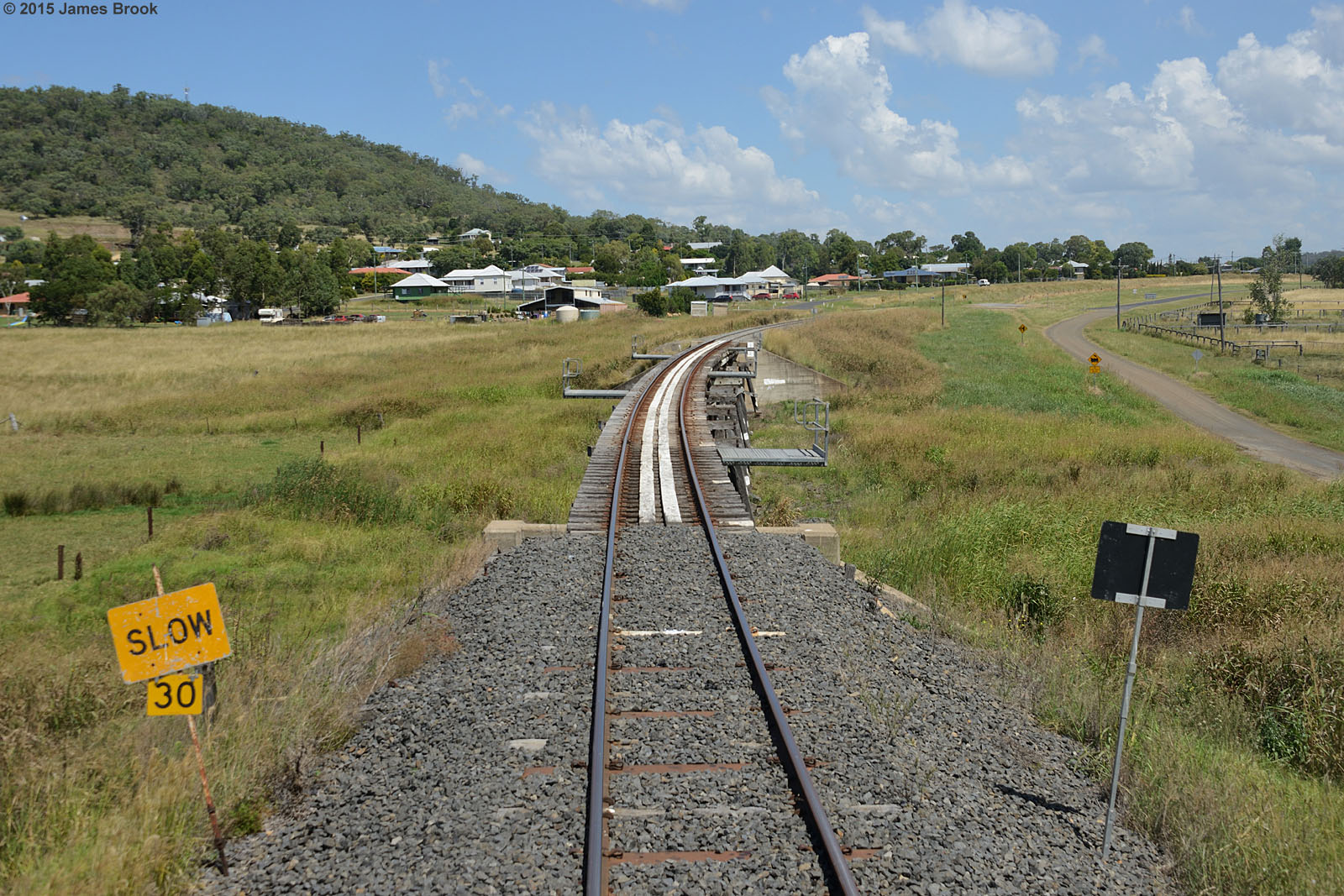
Trestle Bridge - Greenmount

Sunrise from Preston Peak

SUNRISE HODGSON VALE 17.03.2018
SUNRISE HODGSON VALE 17.03.2018

Preston Peak lookout winter panorama

Steele Rudd Hut

Darling Downs Scene
Storm on the move

Hodgson Vale, south of Toowoomba, Queensland

Qld wet weather

Gatton-Clifton Road

Gatton-Clifton Road
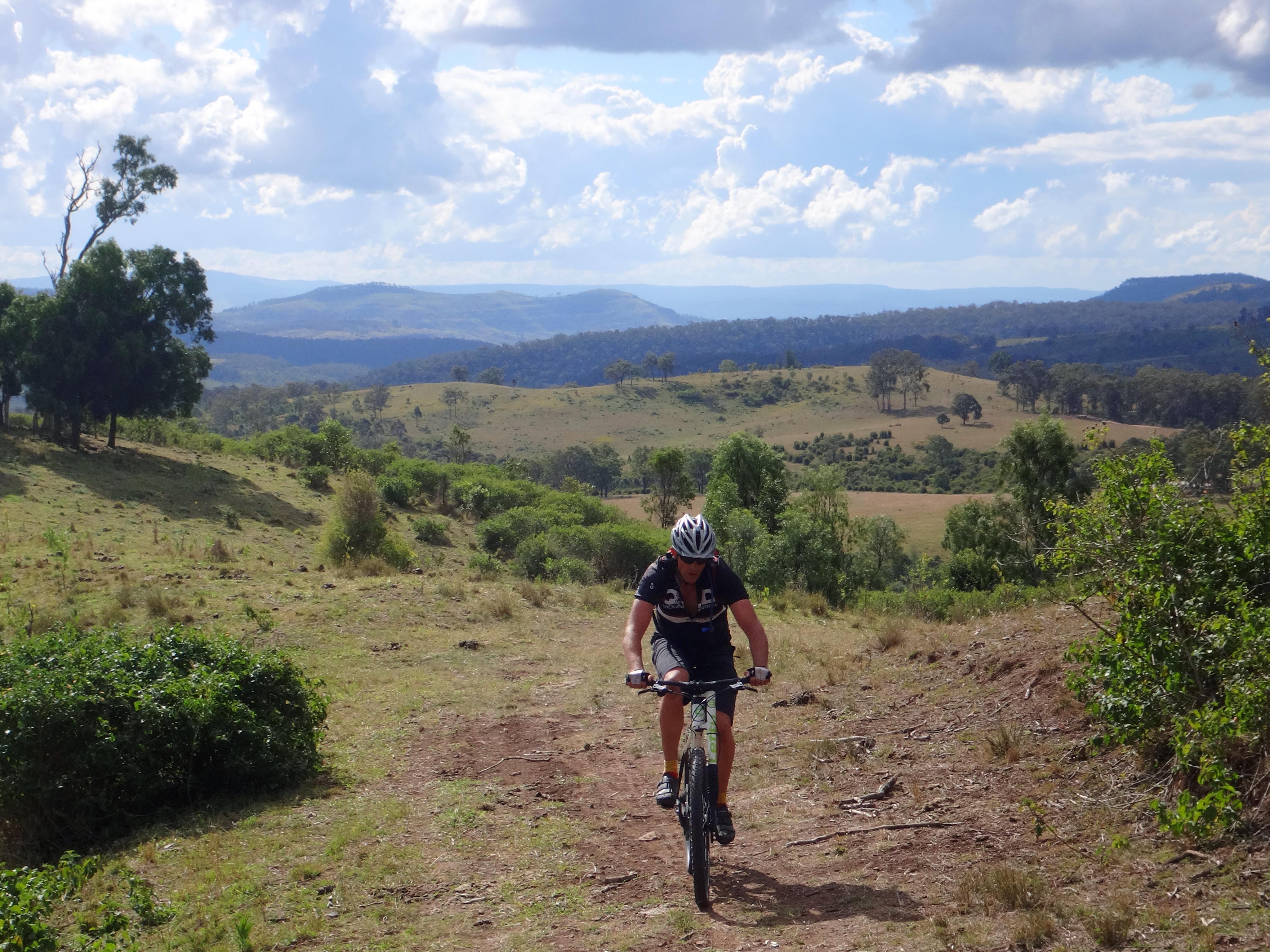
Paul on Razordback

CQ09 Ride #9 Day 9 Clifton to Toowoomba

CQ09 Ride #9 Day 9 Clifton to Toowoomba
Topographic Map of East Greenmount QLD, Australia
Find elevation by address:

Places in East Greenmount QLD, Australia:
Places near East Greenmount QLD, Australia:
Greenmount Connection Road
117 Greenmount Nobby Rd
14021 New England Hwy
Greenmount
16 Barton St
51 Woods Rd
205 Ramsay School Rd
Ramsay
34 Harrison Rd
150 Sawpit Rd
Armstrongs Road
93 Meynink Rd
Hodgson Vale
Preston
572 Rockmount Rd
Rockmount
Carroll Road
21 Baines Rd
22 Thyme Ct
Vale View
Recent Searches:
- Elevation of Corso Fratelli Cairoli, 35, Macerata MC, Italy
- Elevation of Tallevast Rd, Sarasota, FL, USA
- Elevation of 4th St E, Sonoma, CA, USA
- Elevation of Black Hollow Rd, Pennsdale, PA, USA
- Elevation of Oakland Ave, Williamsport, PA, USA
- Elevation of Pedrógão Grande, Portugal
- Elevation of Klee Dr, Martinsburg, WV, USA
- Elevation of Via Roma, Pieranica CR, Italy
- Elevation of Tavkvetili Mountain, Georgia
- Elevation of Hartfords Bluff Cir, Mt Pleasant, SC, USA