Elevation of East Fork Road, E Fork Rd, North Carolina, USA
Location: United States > North Carolina > Transylvania County > Brevard > Brevard >
Longitude: -82.765544
Latitude: 35.1283781
Elevation: 703m / 2306feet
Barometric Pressure: 93KPa
Elevation Map:
Satellite Map:
Related Photos:

Hooker Falls, Side View
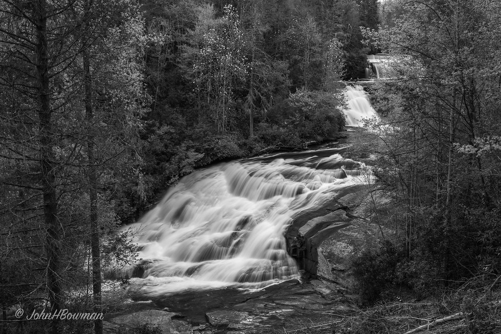
Triple Falls - Monochrome

Hooker Falls
Hooker Falls

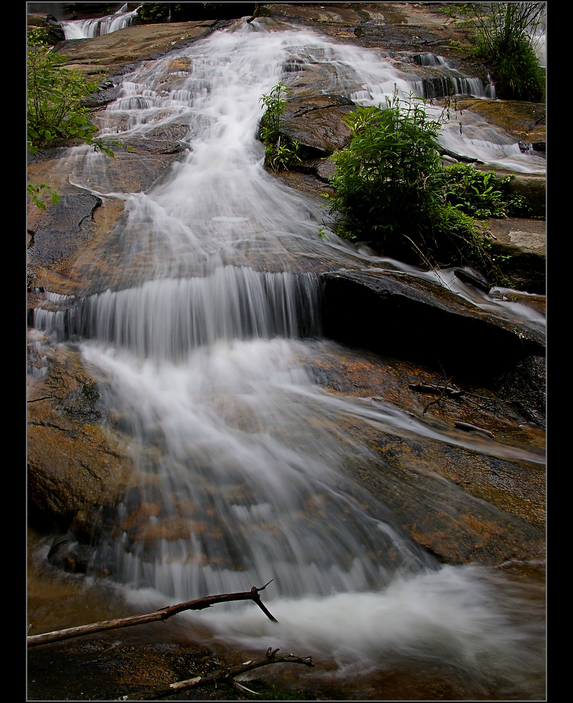
Strong Flow

Caesars Head Park_0775

North Carolina Blue Ridge Waterfall - Stillness and Movement
Caesars Head State Park_0762-0767

Pisgah Astronomical Research Institute Aerial View - PARI

Upstate SC Watertfall Photography - Flow

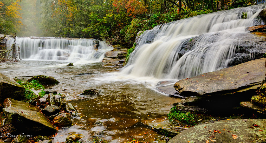
First Stop - Hooker Falls
Touch of Sunlight

Caesars Head Park_0760
Caesars Head Park_0770

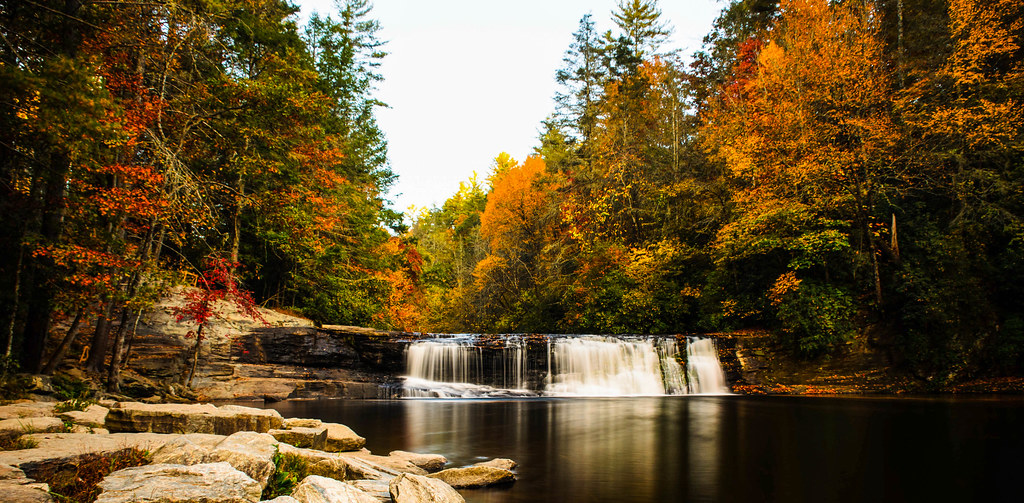
Hooker Falls in Autumn - Dupont State Forest NC

DuPont State Forest

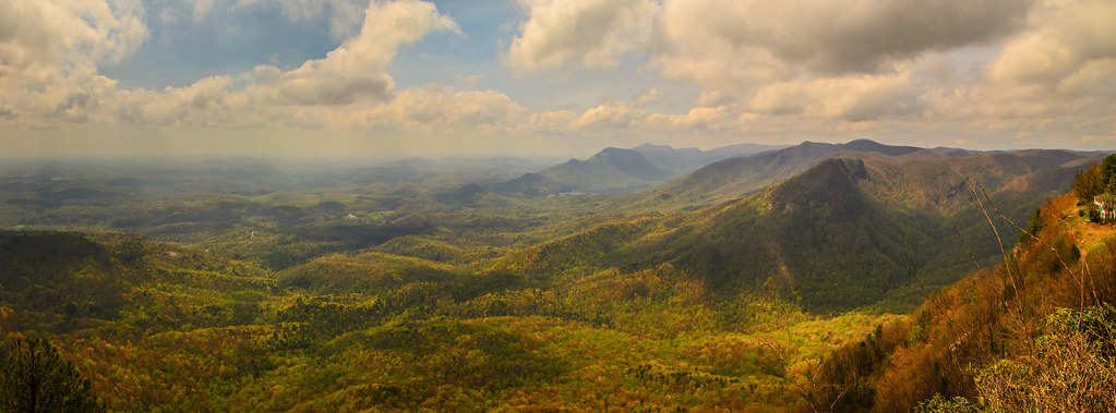
Table Rock View - Caesars Head State Park
Atop Caesars Head

The Great American Total Solar Eclipse 2017 - Eclipse Phases Composite

Eastatoe Falls - View from the bottom

flickr filtered (Explored)
Cascade on the North Branch French Broad River

Close-up of the Confluence of the North Branch of the French Broad River and Shoal Creek Falls in Balsam Grove, NC

Eastatoe Falls

Twin Falls, Left Side

Eastatoe Falls or The Old Name, Chapman Falls
Table Rock Lodge

Eastatoe Falls

Mountain Top Storm

Midway Through

Side Flow

Right side at Twin Fall, SC

Table Rock State Park....

Hooker Falls, Dupont State Forest, North Carolina
Don't Forget Me... In The Middle at Twin Falls, SC

Eastatoe Falls (Rosman, North Carolina)
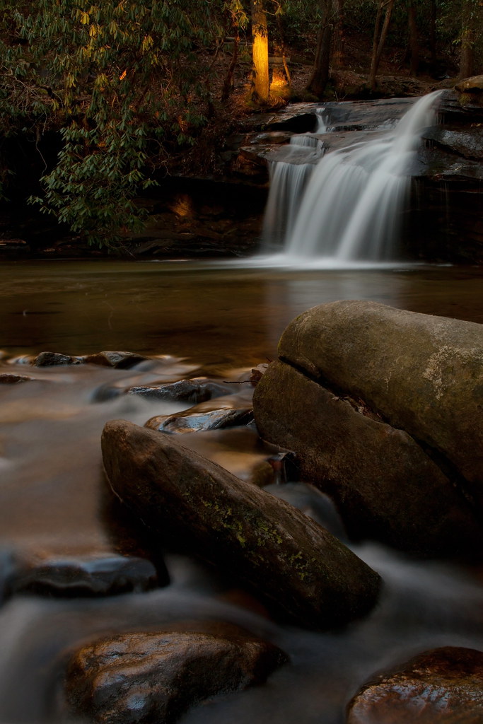
Falls at Living Waters
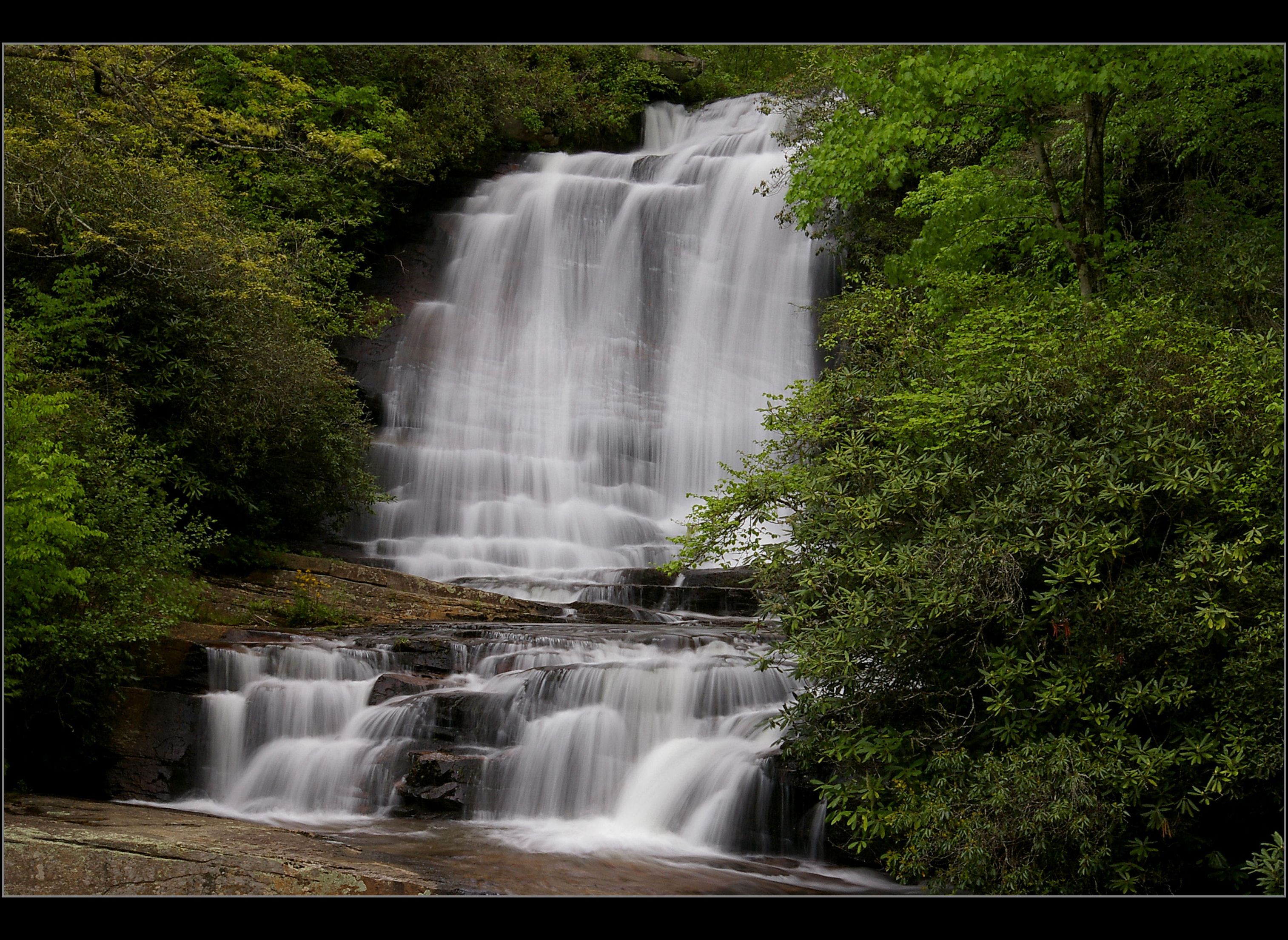
Main View of Connestee Falls

Table rock
Topographic Map of East Fork Road, E Fork Rd, North Carolina, USA
Find elevation by address:

Places near East Fork Road, E Fork Rd, North Carolina, USA:
East Fork Road
E Fork Rd, Brevard, NC, USA
8260 E Fork Rd
70 Walnut Cove Rd
Dvdegi Court
1375 Ugugu Dr
632 Dvdisdi Ct
1228 Ugugu Dr
428 Dvdisdi Ct
428 Dvdisdi Ct #30a
Ugugu Drive
23 Ugugu Dr
20 Dewa Ct
77 Pine Rd
Udoque Court
108 Unvdatlvi Ct
175 Notlvsi Ct
50 Ponderosa Trl
248 Rogers Rd
20 Tsiya Ct
Recent Searches:
- Elevation of Corso Fratelli Cairoli, 35, Macerata MC, Italy
- Elevation of Tallevast Rd, Sarasota, FL, USA
- Elevation of 4th St E, Sonoma, CA, USA
- Elevation of Black Hollow Rd, Pennsdale, PA, USA
- Elevation of Oakland Ave, Williamsport, PA, USA
- Elevation of Pedrógão Grande, Portugal
- Elevation of Klee Dr, Martinsburg, WV, USA
- Elevation of Via Roma, Pieranica CR, Italy
- Elevation of Tavkvetili Mountain, Georgia
- Elevation of Hartfords Bluff Cir, Mt Pleasant, SC, USA