Elevation of East Braintree, MB R0E, Canada
Location: Canada > Manitoba > Division No. 1 >
Longitude: -95.623333
Latitude: 49.619444
Elevation: 313m / 1027feet
Barometric Pressure: 98KPa
Elevation Map:
Satellite Map:
Related Photos:
My Photo Stream-116

Sundown plane trails drama
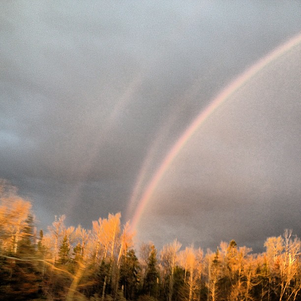
Multiple bows. #rainbow #viewfrommyofficewindow #rsa_nature #royalsnappingartists #infamous_family #drivemanitoba #manitoba #transcanadahighway #trucking
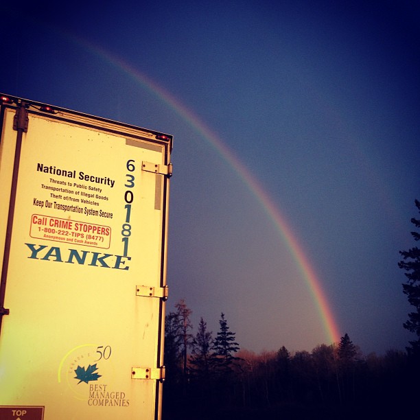
Glorious sunrise; westbound has a double bow in the sky. #rainbow #viewfrommyofficewindow #athousandglorioussunrises#rsa_nature #rsa_truckers #royalsnappingartists #infamous_family #rebel_scapes #transcanadahighway #trucking #truckerslife #sunrise
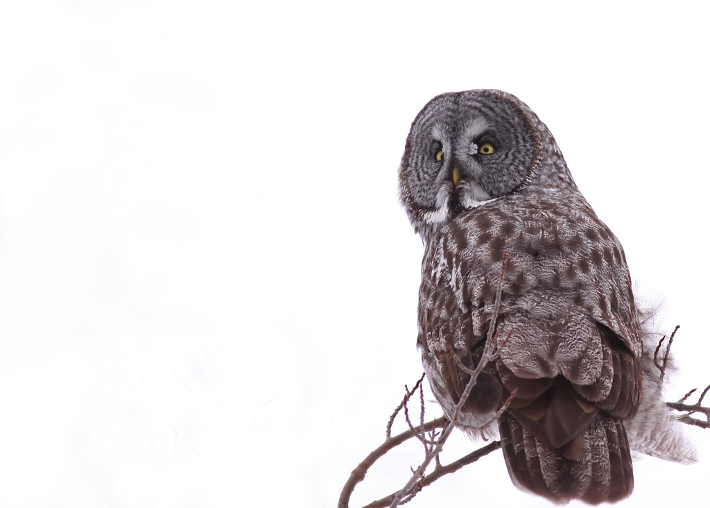
Prawda Great Gray Owl...#2
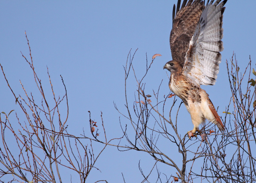
Red-tailed Hawk...#1
the road to honey
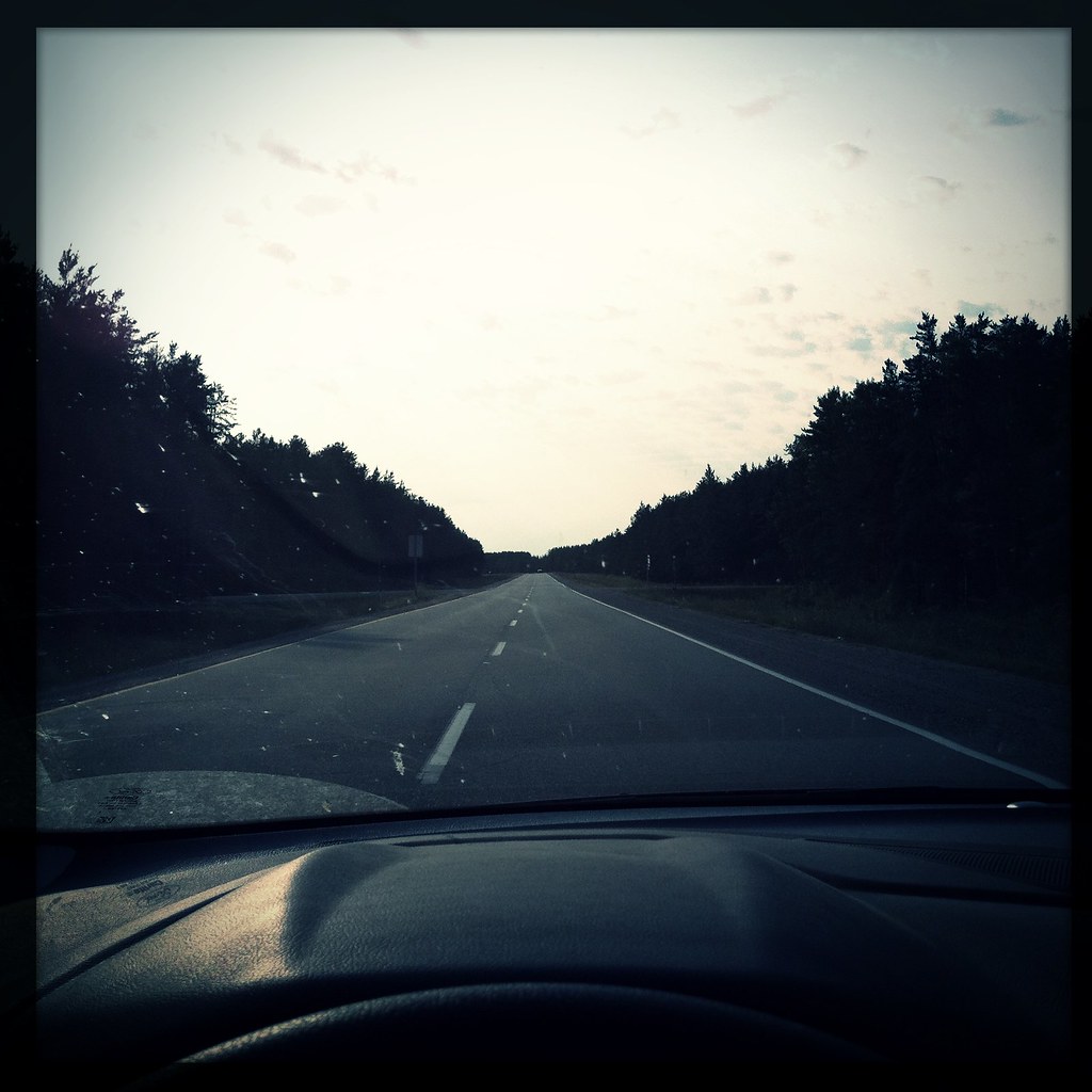
Cdn road trip. For best effect hold in front of face for 3hrs
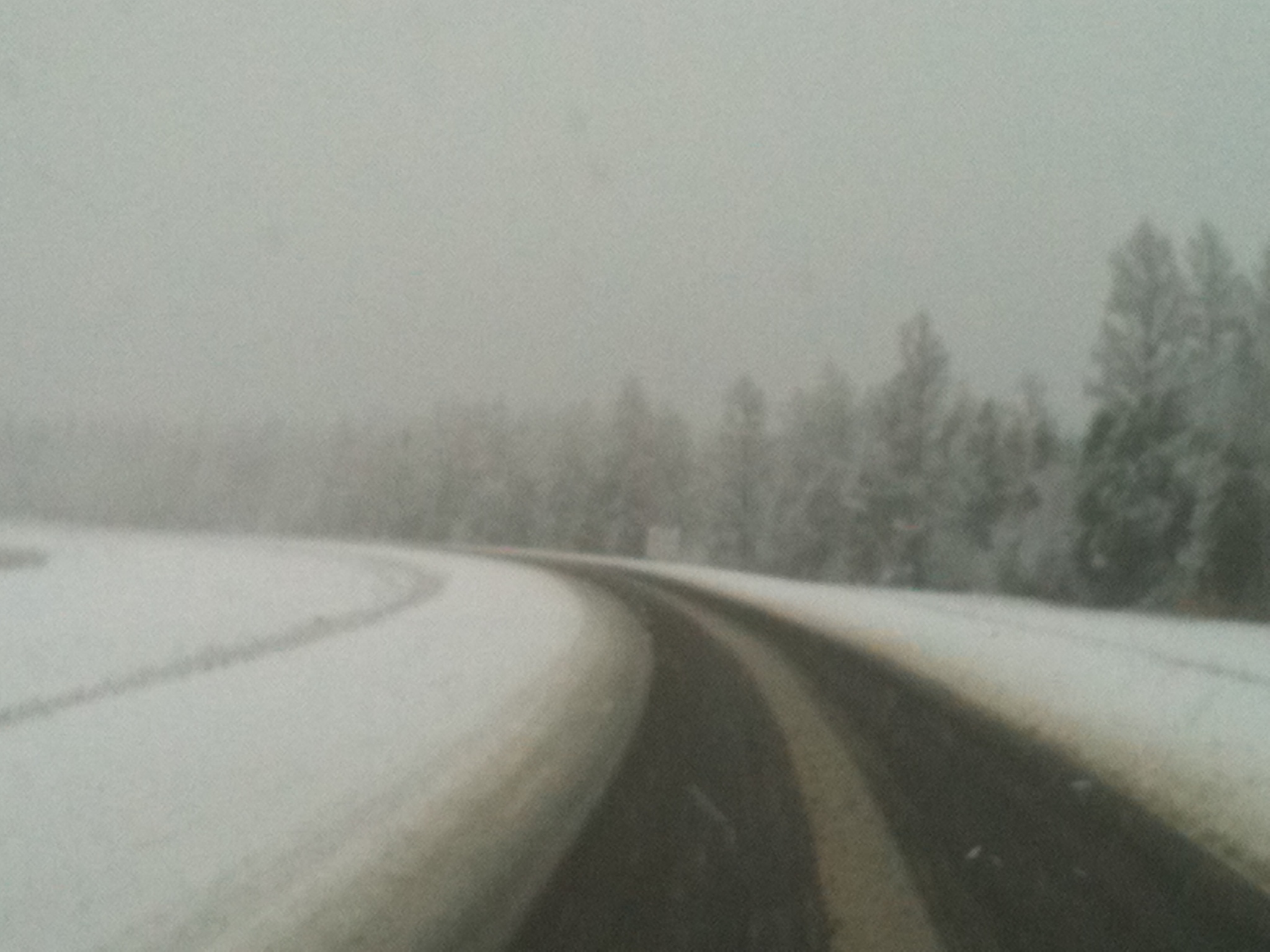
Wet Snow on the TransCanada Highway (2010)
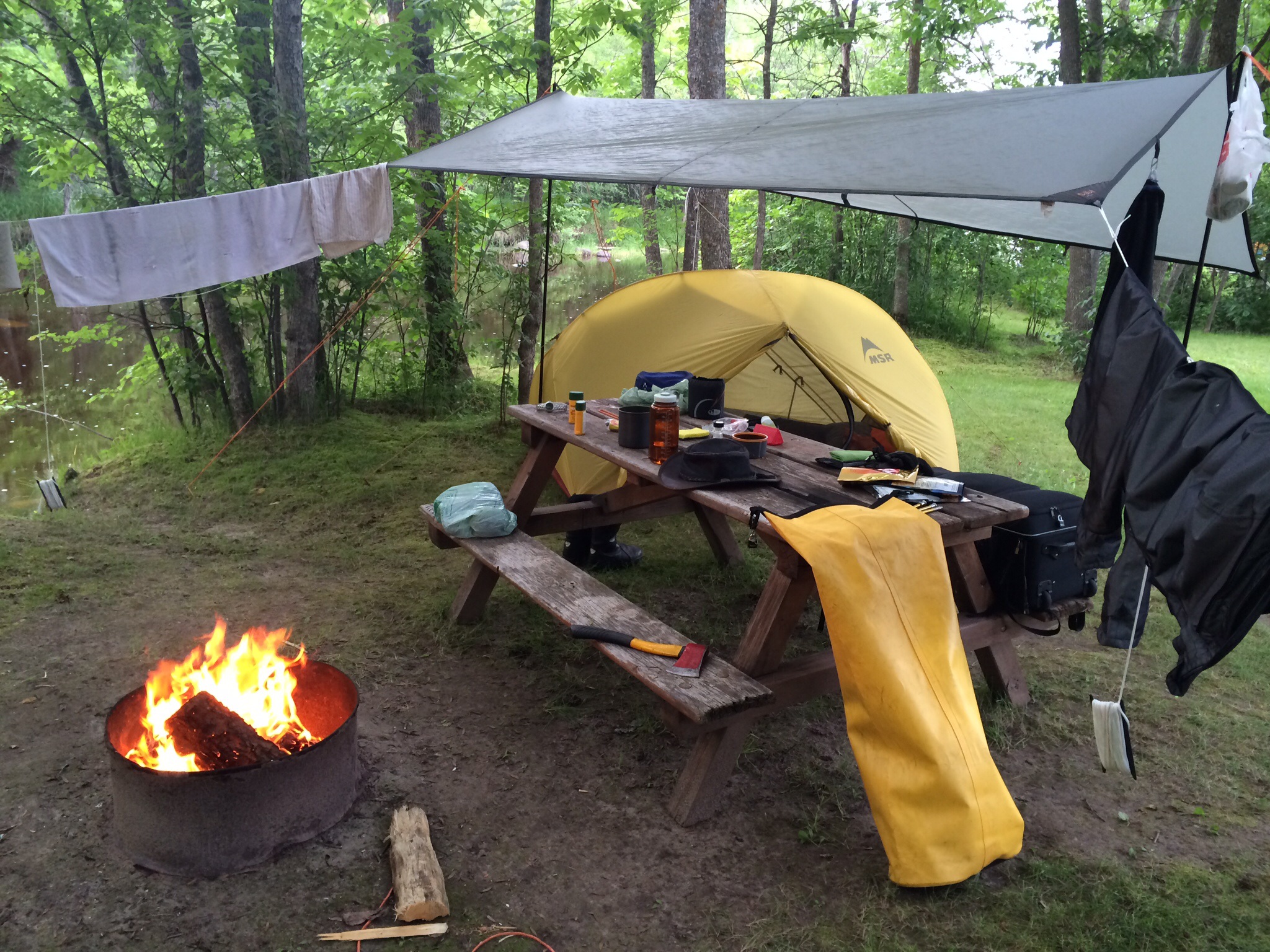
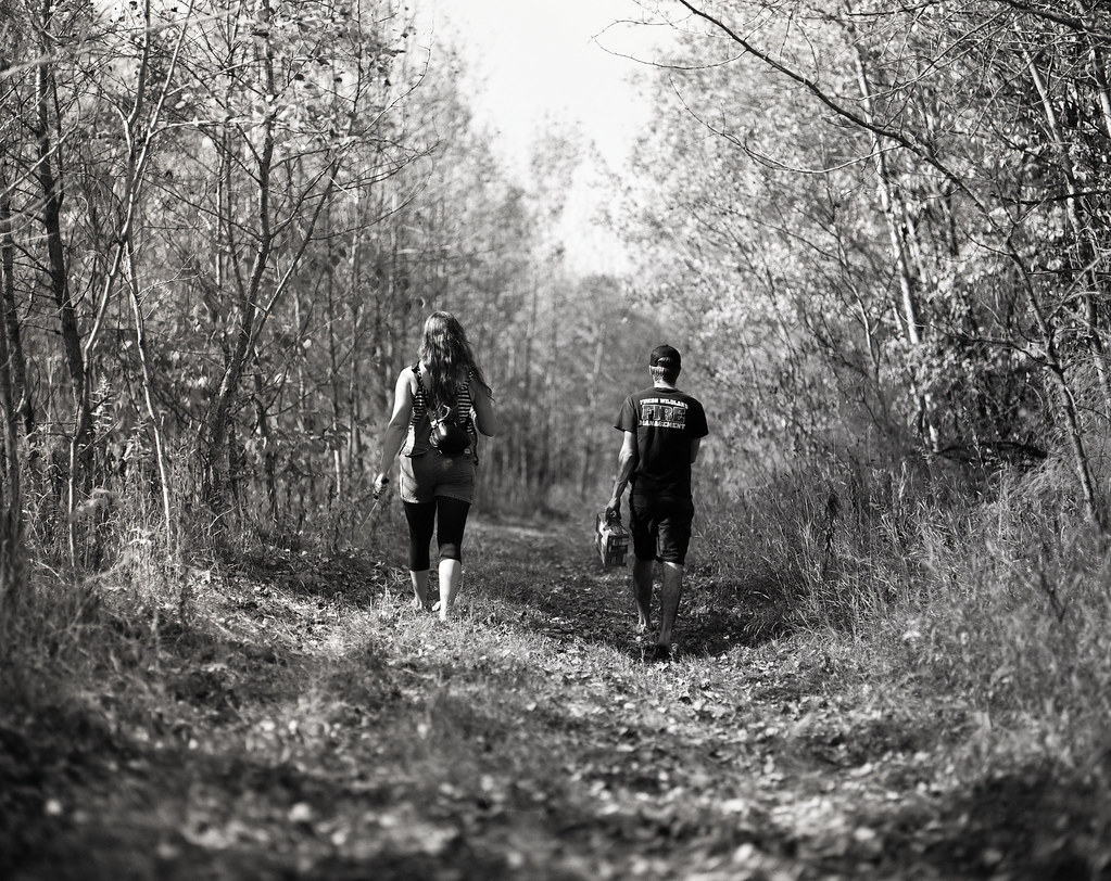
Off the beaten path
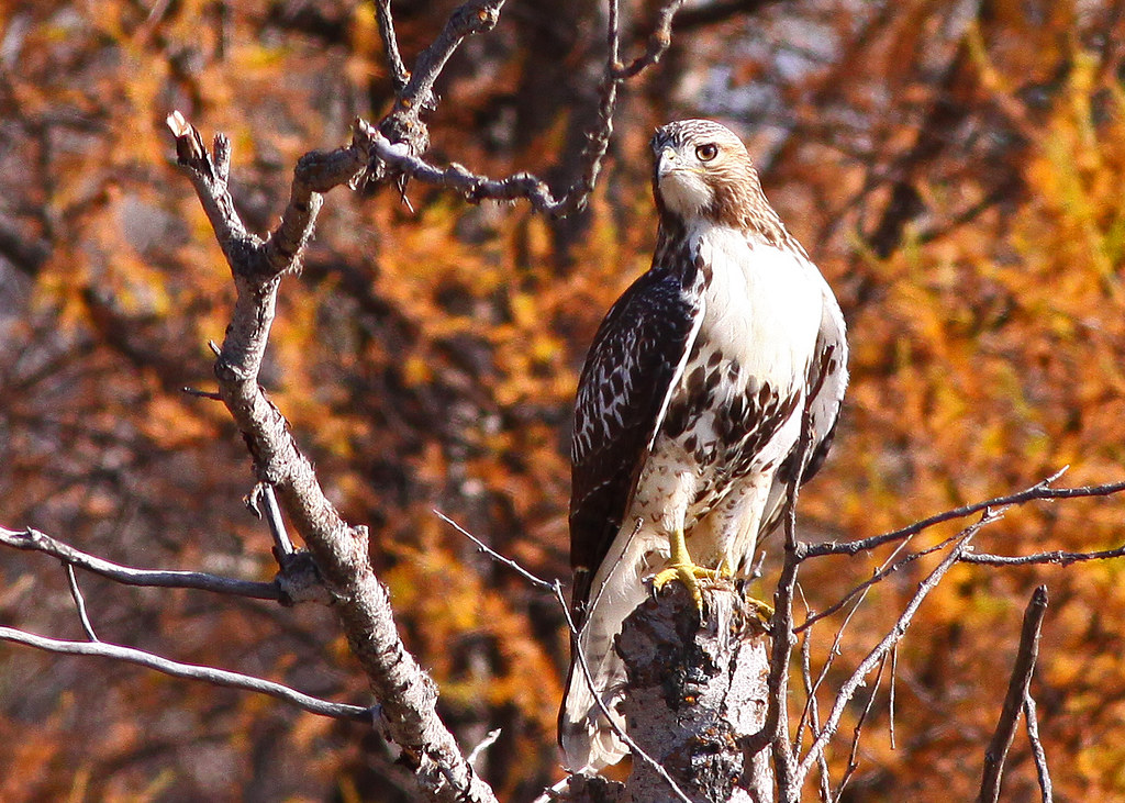
Red tailed Hawk
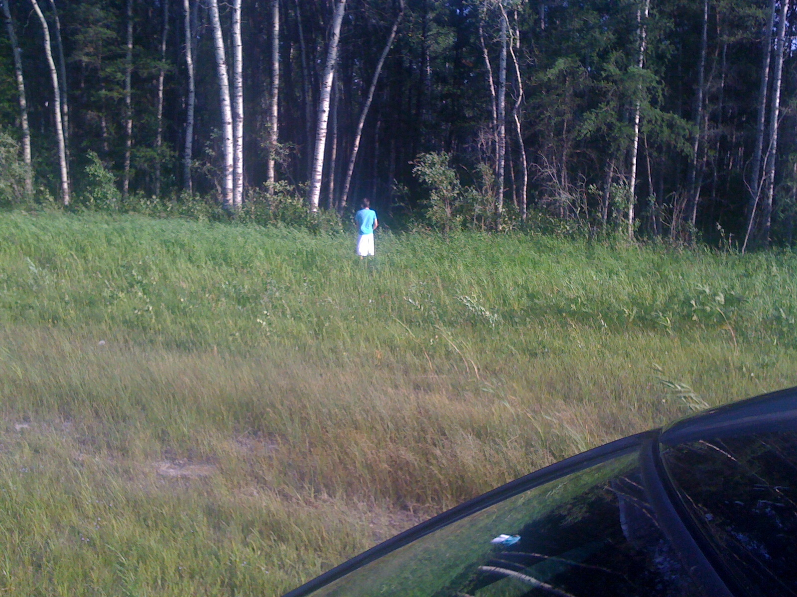
Bathroom break
Topographic Map of East Braintree, MB R0E, Canada
Find elevation by address:

Places near East Braintree, MB R0E, Canada:
Falcon Lake
16 Falcon Blvd, Falcon Beach, MB R0E 0N0, Canada
Falcon Beach
Division No. 1, Unorganized
Ridge Rd, Falcon Lake, MB R0E 0N0, Canada
High Lake
Shoal Lake
Ingolf Inn
Ingolf
Pointe Du Bois
Clearwater Bay
Kenora
6th Ave S, Kenora, ON P9N 2C5, Canada
Recent Searches:
- Elevation of Corso Fratelli Cairoli, 35, Macerata MC, Italy
- Elevation of Tallevast Rd, Sarasota, FL, USA
- Elevation of 4th St E, Sonoma, CA, USA
- Elevation of Black Hollow Rd, Pennsdale, PA, USA
- Elevation of Oakland Ave, Williamsport, PA, USA
- Elevation of Pedrógão Grande, Portugal
- Elevation of Klee Dr, Martinsburg, WV, USA
- Elevation of Via Roma, Pieranica CR, Italy
- Elevation of Tavkvetili Mountain, Georgia
- Elevation of Hartfords Bluff Cir, Mt Pleasant, SC, USA