Elevation of East 2nd Street, E 2nd St, Waverly, OH, USA
Location: United States > Ohio > Pike County > Pee Pee Township >

Longitude: -82.997513

Latitude: 39.1103925

Elevation: 173m / 568feet

Barometric Pressure: 99KPa

Elevation Map:

elevation map of East 2nd Street, E 2nd St, Waverly, OH, USA

Satellite Map:

Satellite map of East 2nd Street, E 2nd St, Waverly, OH, USA
Related Photos:

door bw white black abandoned window shop rural lost souvenirs store closed decay forgotten roadside tmwyt flickrchallengegroup thechallengefactory
Souvenirs (B&W)
1953 Lincoln Capri (2)
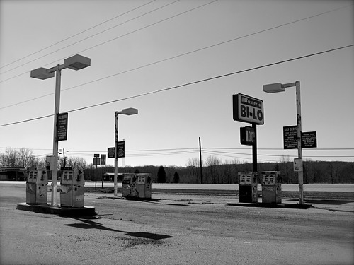
show old city ohio art abandoned robert station rural frank town closed gallery december decay small sunday center gas pump route utata americans salon 23 delaware seen waverly 2012 bilo 123bw thechallengefactory
Abandoned Gas Station
autumn leaves weeds october powerlines pikecountyohio dok1 ohiofoothills
View from Chenoweth Fork Valley
ford lincoln pikecountyohio hdr waverlyohio dok1 1953lincolncapri
1953 Lincoln Capri
abandoned decay historic pikecountyohio dok1
Decaying Dwelling (revisited)
pikecountyohio dok1 geotaggedohio
Jones-Cutler Historic House
house abandoned pikecountyohio dok1 ohiofoothills
Abandoned Abode
morning fog sunrise valley
Scioto Valley Morning
Long Driveway in Appalachia
ohio landscape geotagged geo:lat=392395163333332 geo:lon=829574732222223
Scioto Trail State Forest
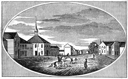
ohio print 1840s pikecounty piketon ohioartthrough1865 citylevelgeotagging
View in Piketon
ohio print pikecounty 1830s ohioartthrough1865 carrsrun
View of "Pomeroy's Coal Beds," at Carr's Run, Ohio
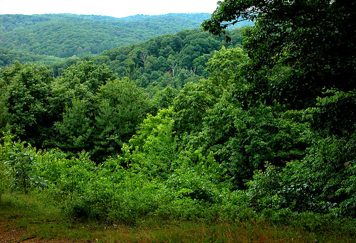
trees ohio green june dok1 sciototrail ohiostateforests
Green/Green
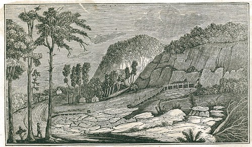
ohio print 1840s pikecounty piketon ohioartthrough1865 citylevelgeotagging
View of Graded Way Near Piketon, Ohio
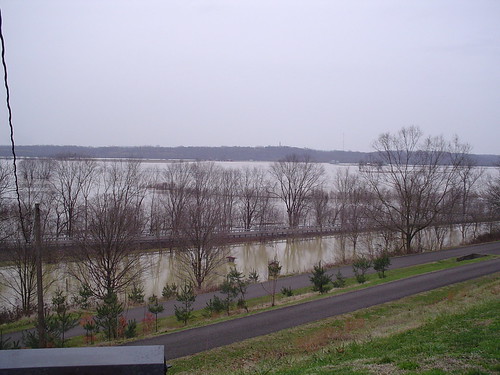
flood waverlyohio lakewhite
more flood
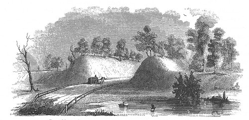
ohio print pikecounty 1830s piketon ohioartthrough1865 citylevelgeotagging
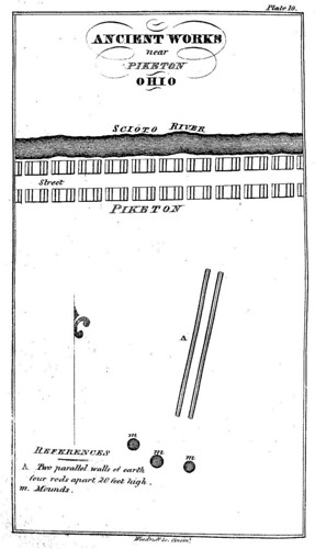
Ancient Works near Piketon, Ohio
waverlyohio craumer
the view
park trees ohio sky sun tower clouds forest fire ranger state horizon lookout route trail 23 scioto
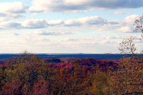
The View West
scioto trail state park ohio route 23 forest ranger fire tower lookout trees clouds sky sun horizon
The View South
park trees ohio sky sun tower clouds forest fire ranger state horizon lookout route trail 23 scioto
The View North
ohio landscape nikon sigma 1020mm d90 ruralohio
Nikon D90 Test 3
ohio nature lanscape
Scioto Trail State Forest
ohio lake water landscape fishing nikon d90 ruralohio sciototrailstqtepark
Quiet Day At The Lake
Q634 - MP 34
railroad train landscape tracks signal pikecounty
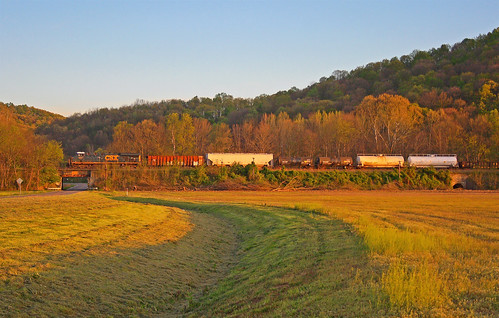
Piketon 2
autumn ohio fall pumpkin farm
Forest Glow
ohio landscape naure rosscounty sciototrail ruralohio
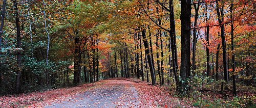
Scioto Trail Forest Road
railroad ohio train landscape tracks signal pikecounty piketon geotaggedohio
Piketon 3
railroad train landscape tracks signal pikecounty
Piketon 1
autumn ohio fall pumpkin landscape farm ruralohio e410 geotaggedohio
Pumpkin-O-Rama
sky tree 365 jacklynnprice jacklynnsphotography
Winter Sky 5~365
trees nature forest woods trail
Forest June 2009
geotagged geo:lat=3904479 geo:lon=8302626
Farm Near Piketon, Ohio
road county ohio house rural landscape farm scenic run farmland jackson historic hills dirt pike 1920 township
Farmland — Jackson Township, Pike County, Ohio
autumn ohio fall pumpkin farm
Ohio Farm
10.2007 033
hills
Appalachian Morning
hills
Appalachian Morning 2
park county trees ohio terrain film barn forest landscape franklin ross stream state scenic farmland historic hills relief trail pasture fields farms appalachia scioto township odot 1927 topography
Farmland — Franklin Township, Ross County, Ohio