Elevation of East 1st Street, E 1st St, Dell Rapids, SD, USA
Location: United States > South Dakota > Minnehaha County > Dell Rapids >
Longitude: -96.712016
Latitude: 43.8206001
Elevation: 451m / 1480feet
Barometric Pressure: 96KPa
Elevation Map:
Satellite Map:
Related Photos:
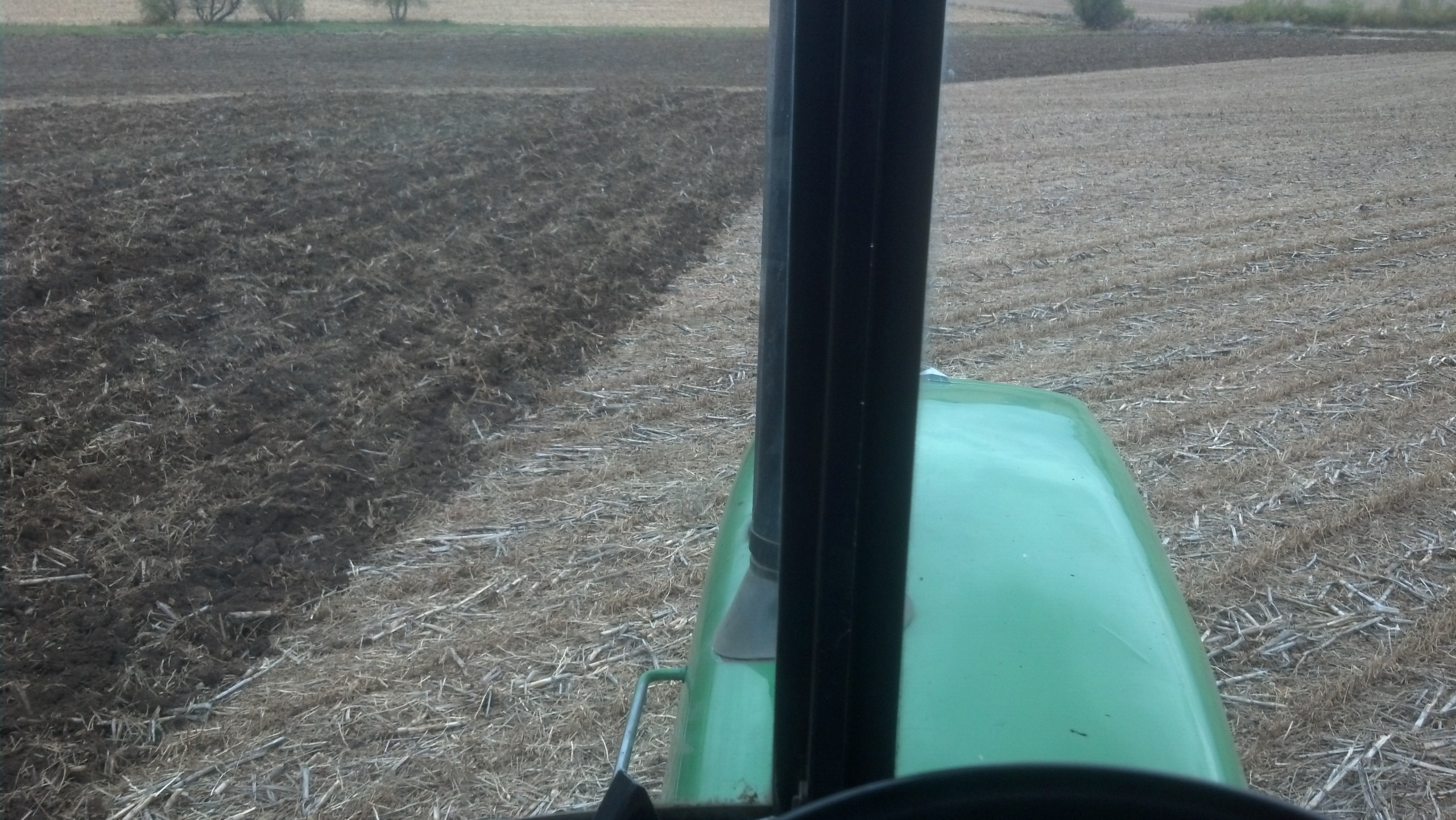
View from the 4440 while chisel plowing.
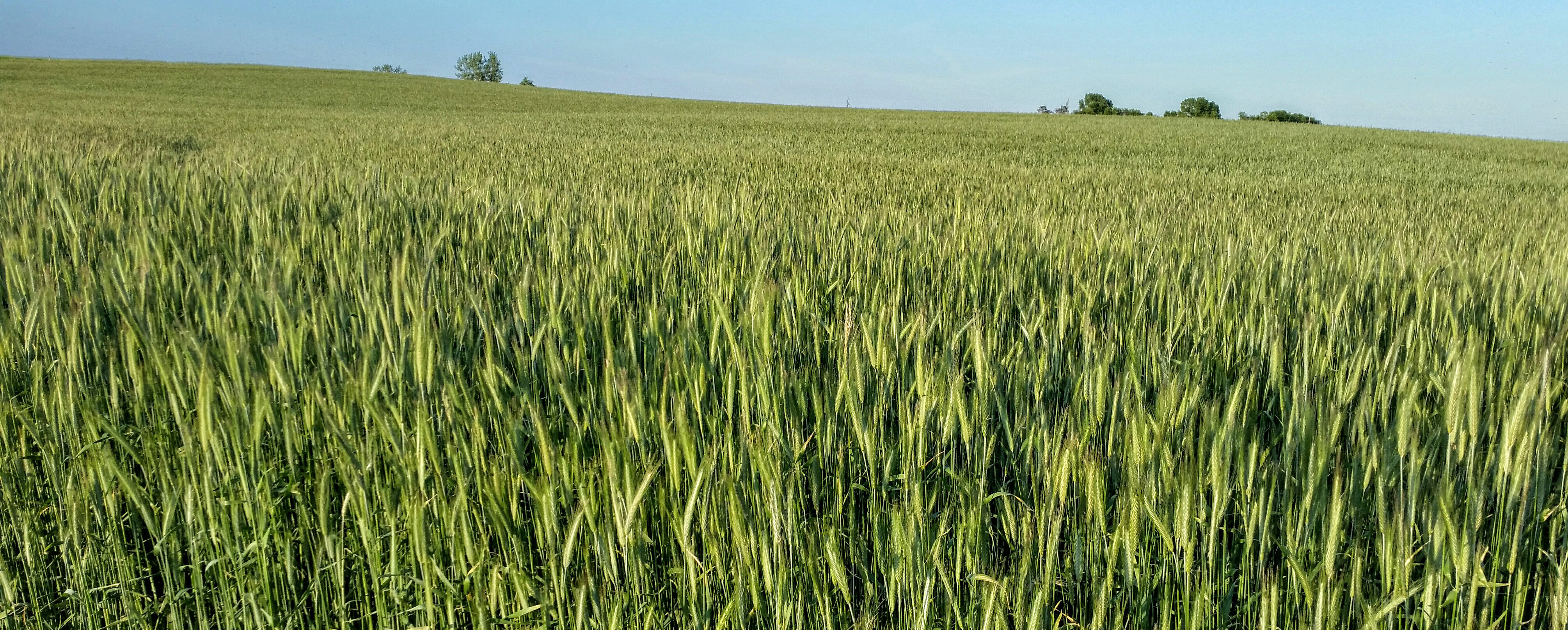
Rye Field Panorama
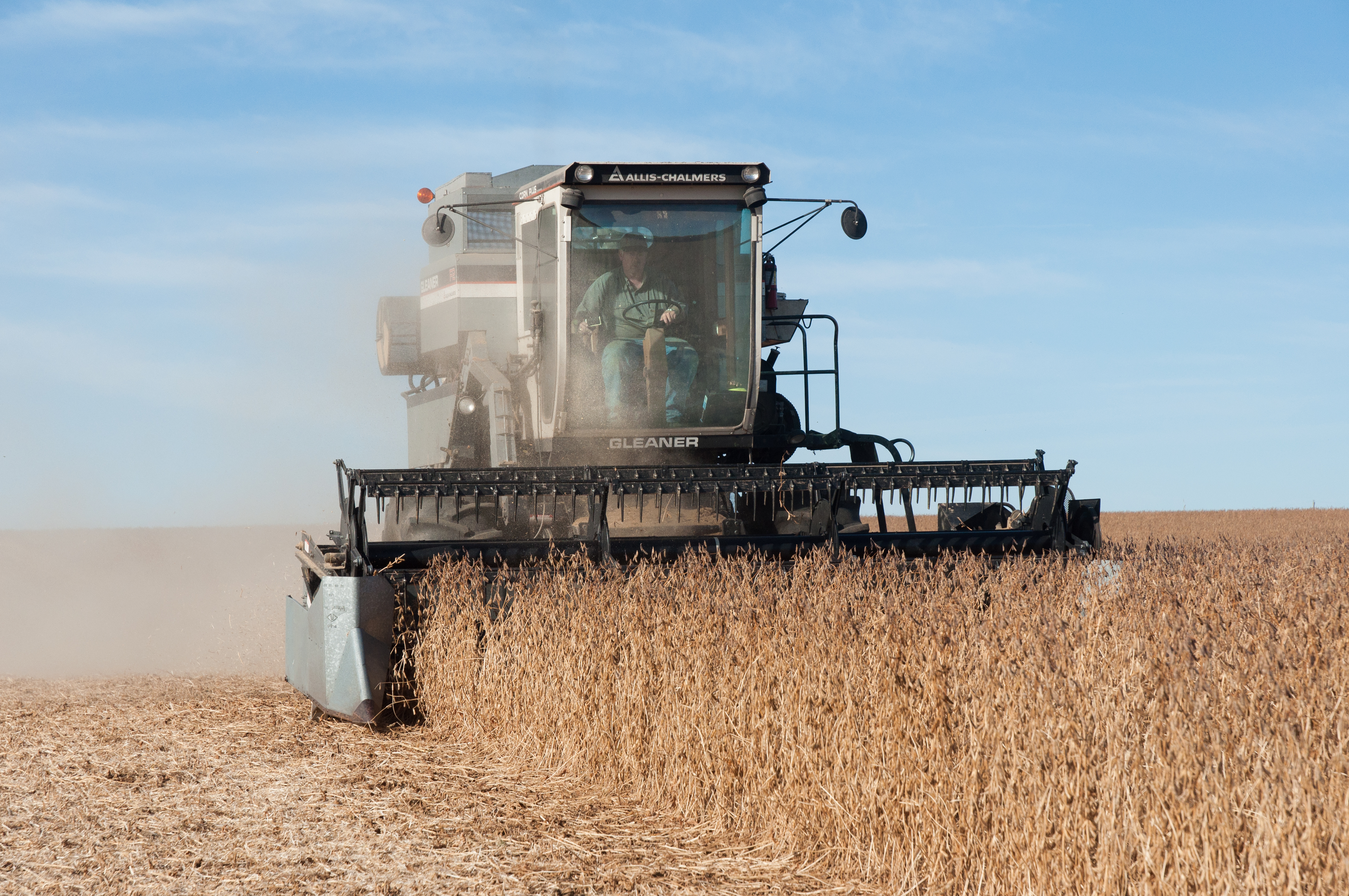
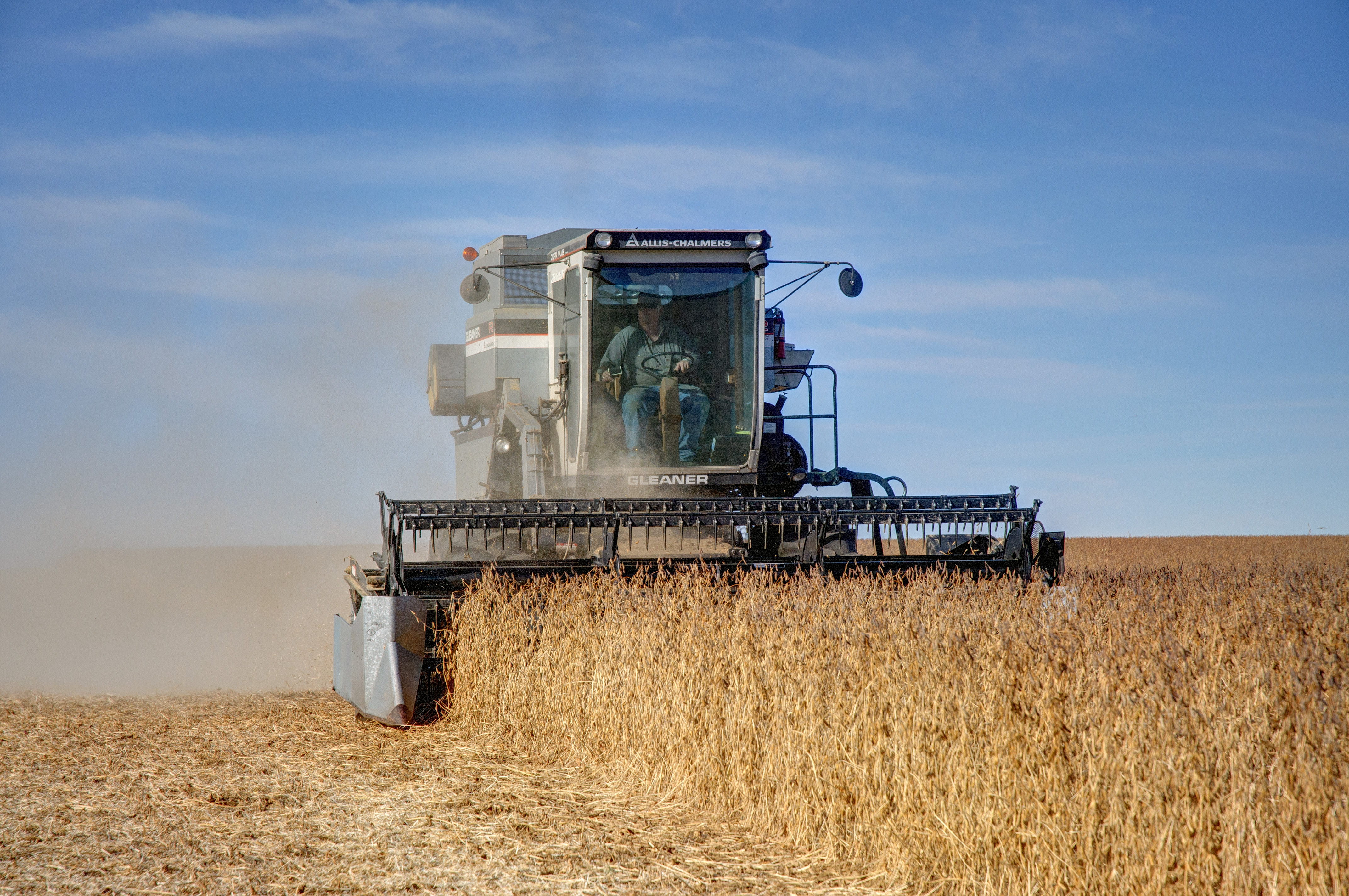
Gleaner F2 Combining Soybeans

Dell Rapids Scenic Overlook

IMG_2134.JPG

Soybean Harvest in South Dakota 2015
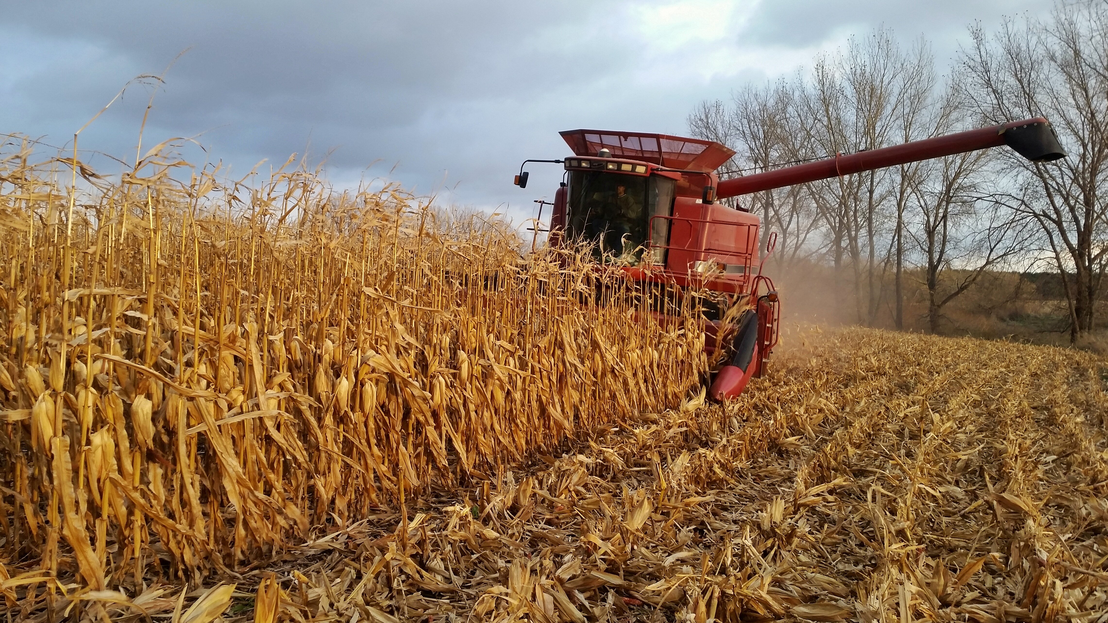
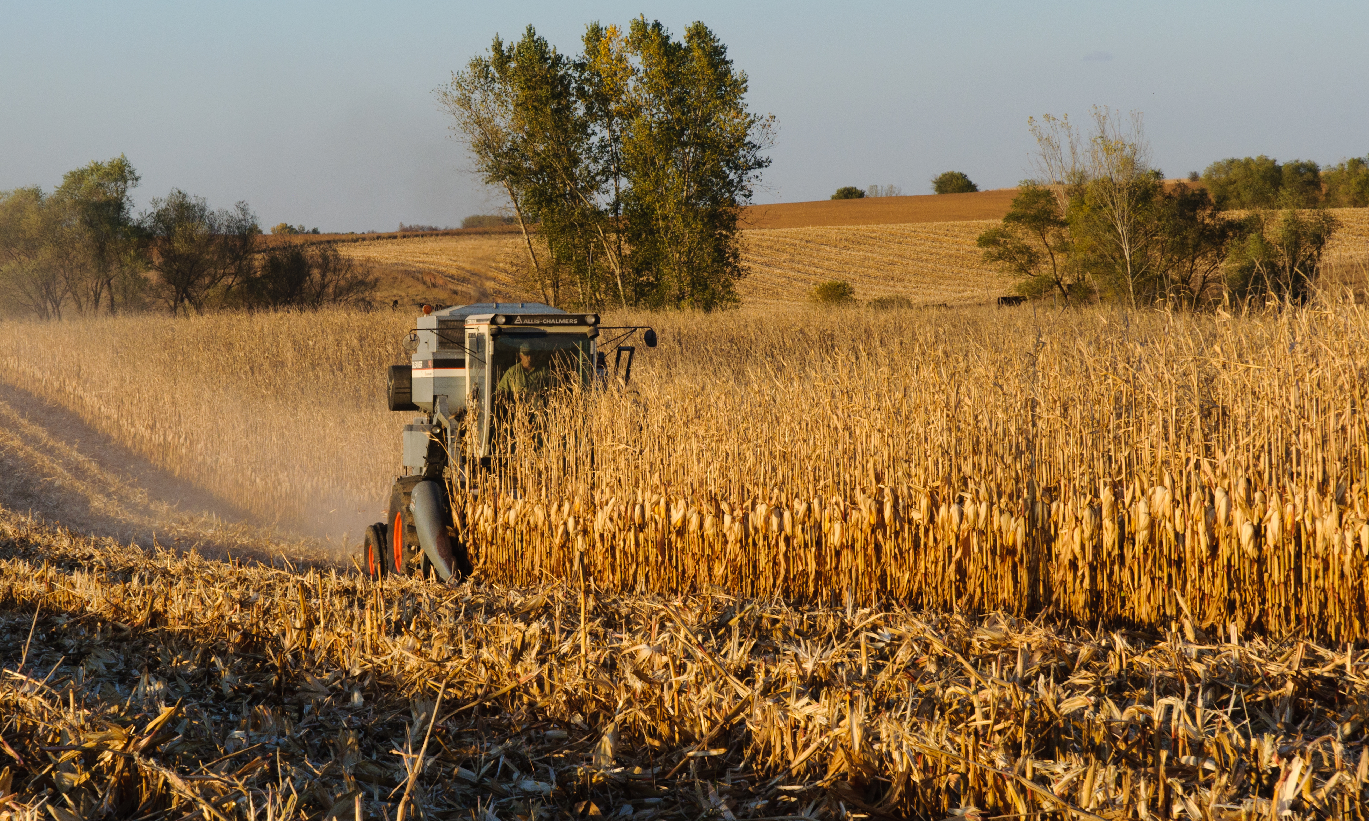
Corn Harvest in South Dakota
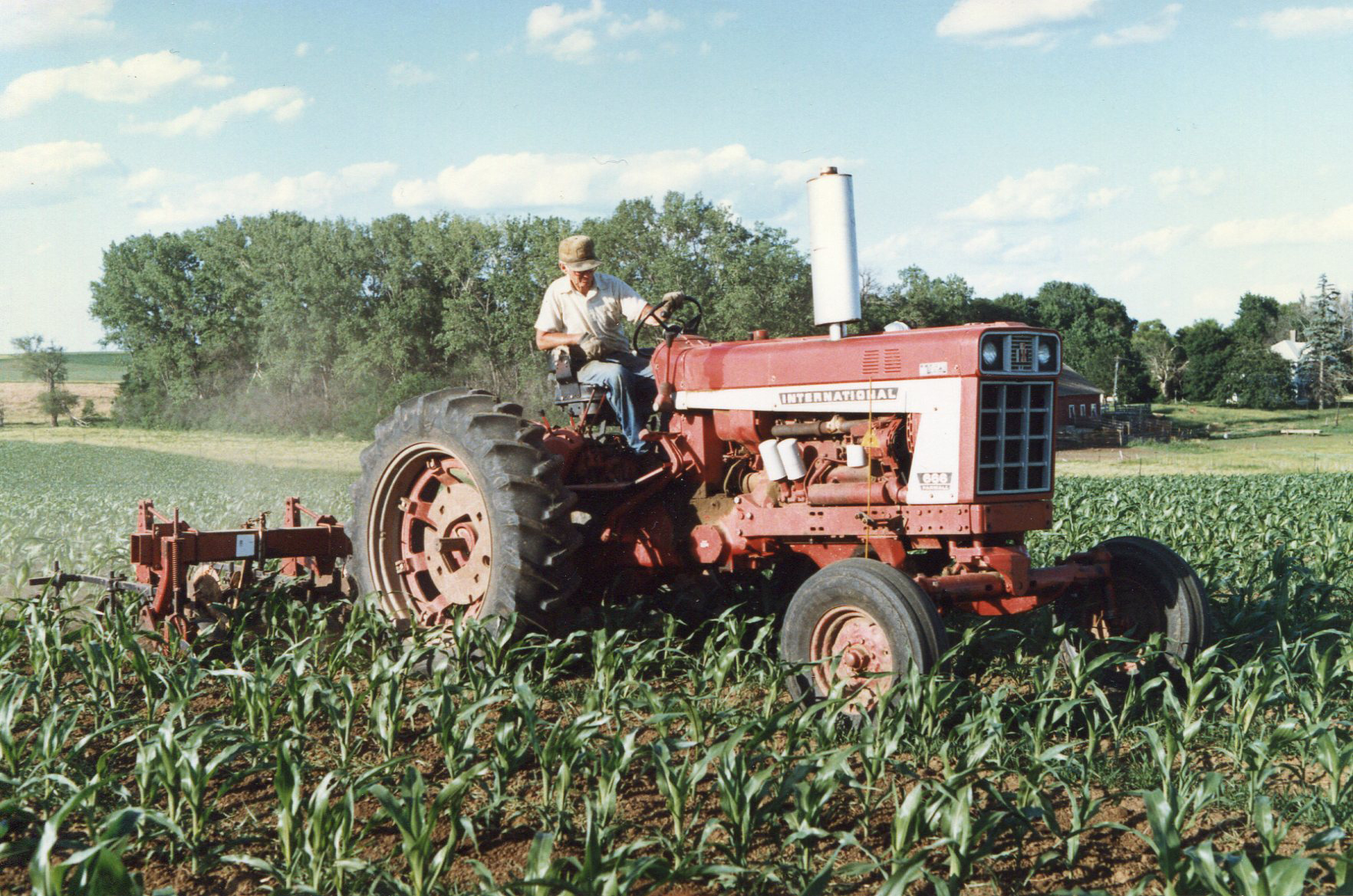
666 International Harvester Cultivating Corn
IMG_2130.JPG
South Dakota
Gleaner F2 Combine Harvesting Corn
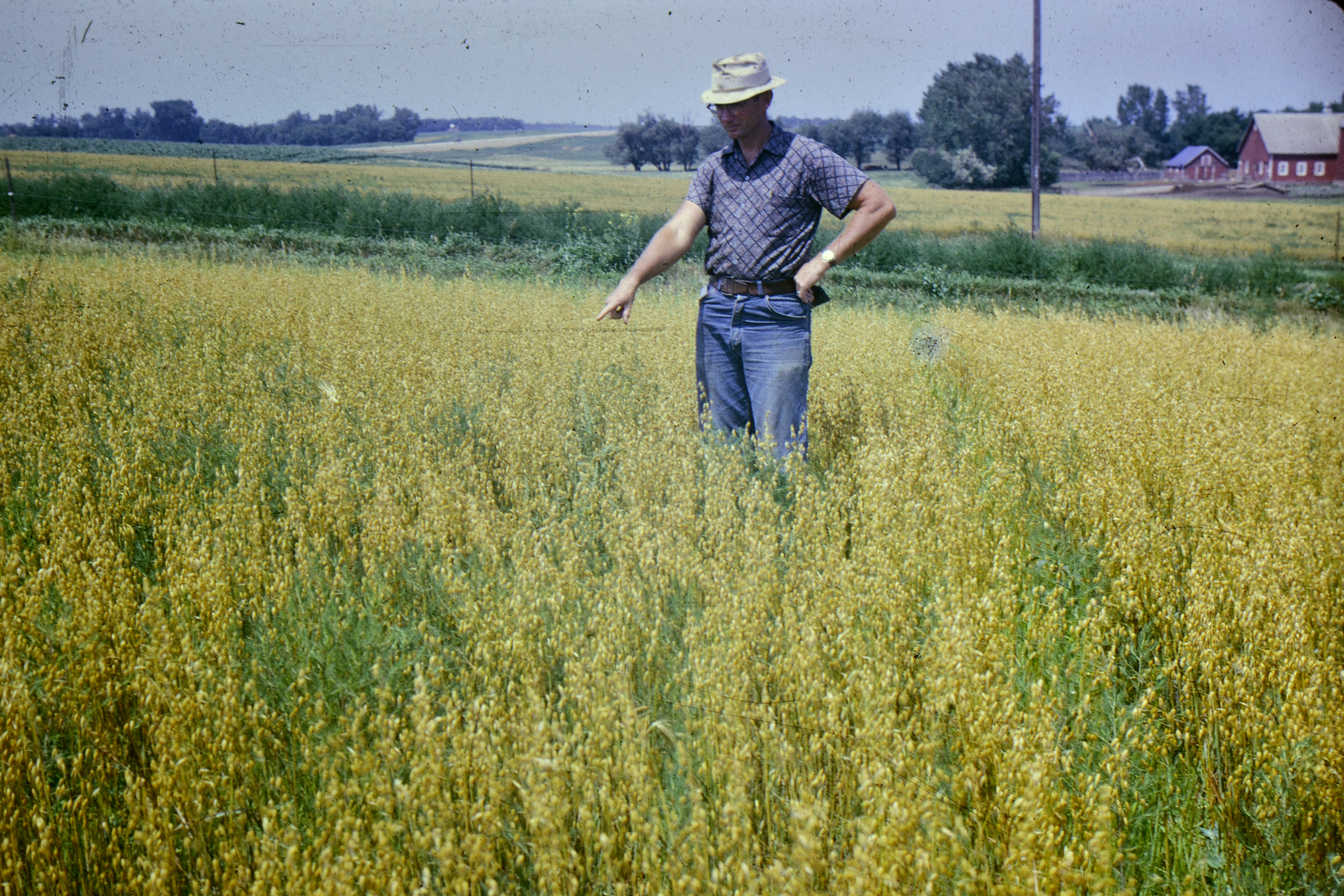
Oats Field

Corn Harvest Fall 2011
F2 Gleaner in HDR
South Dakota
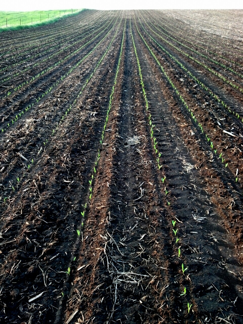
Corn Coming Up
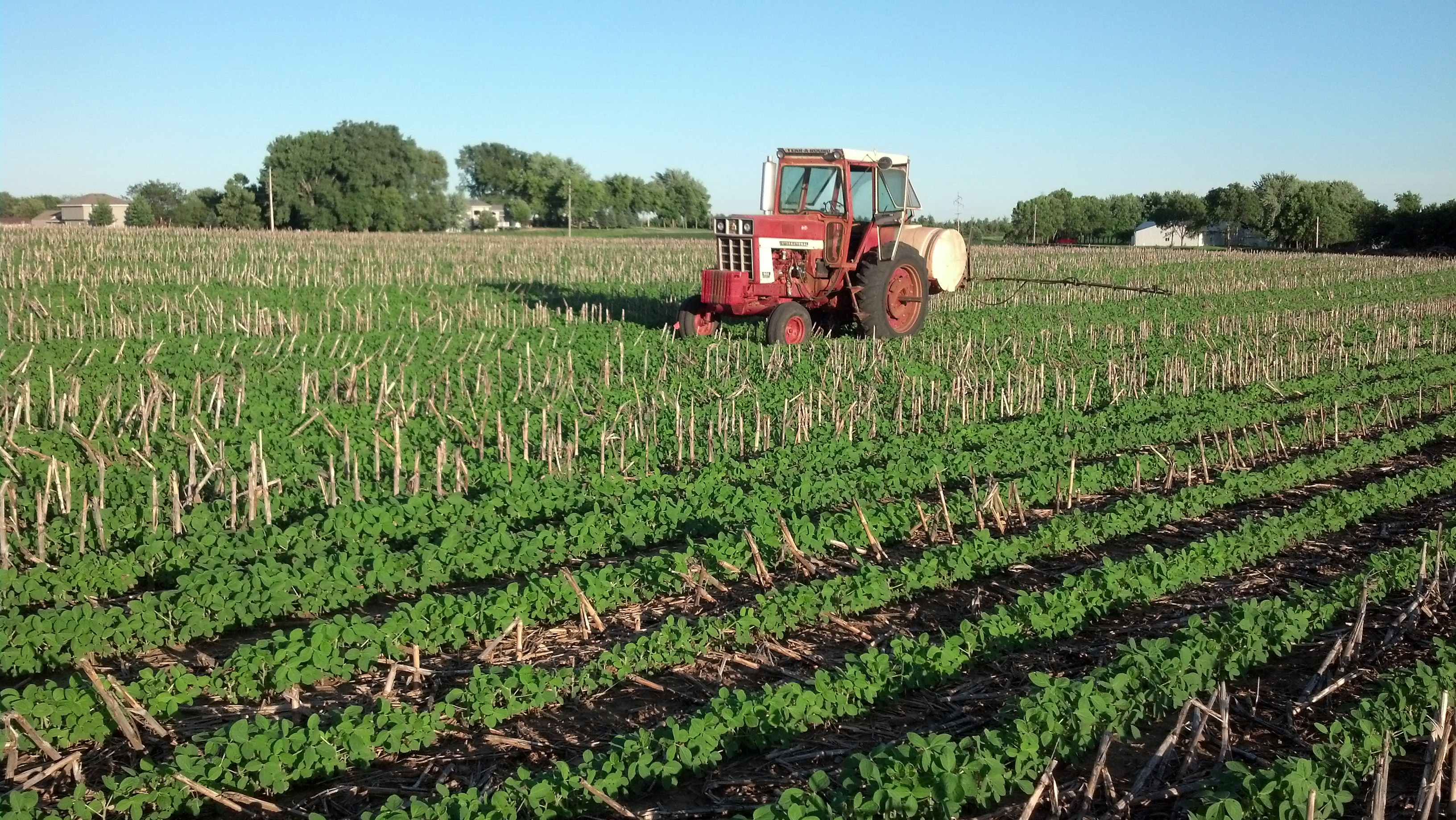
Spraying Soybeans

Big Sioux River near the Dell Rapids dam

Case IH 2388 in Corn

Rye Harvest with John Deere 9550 Combine
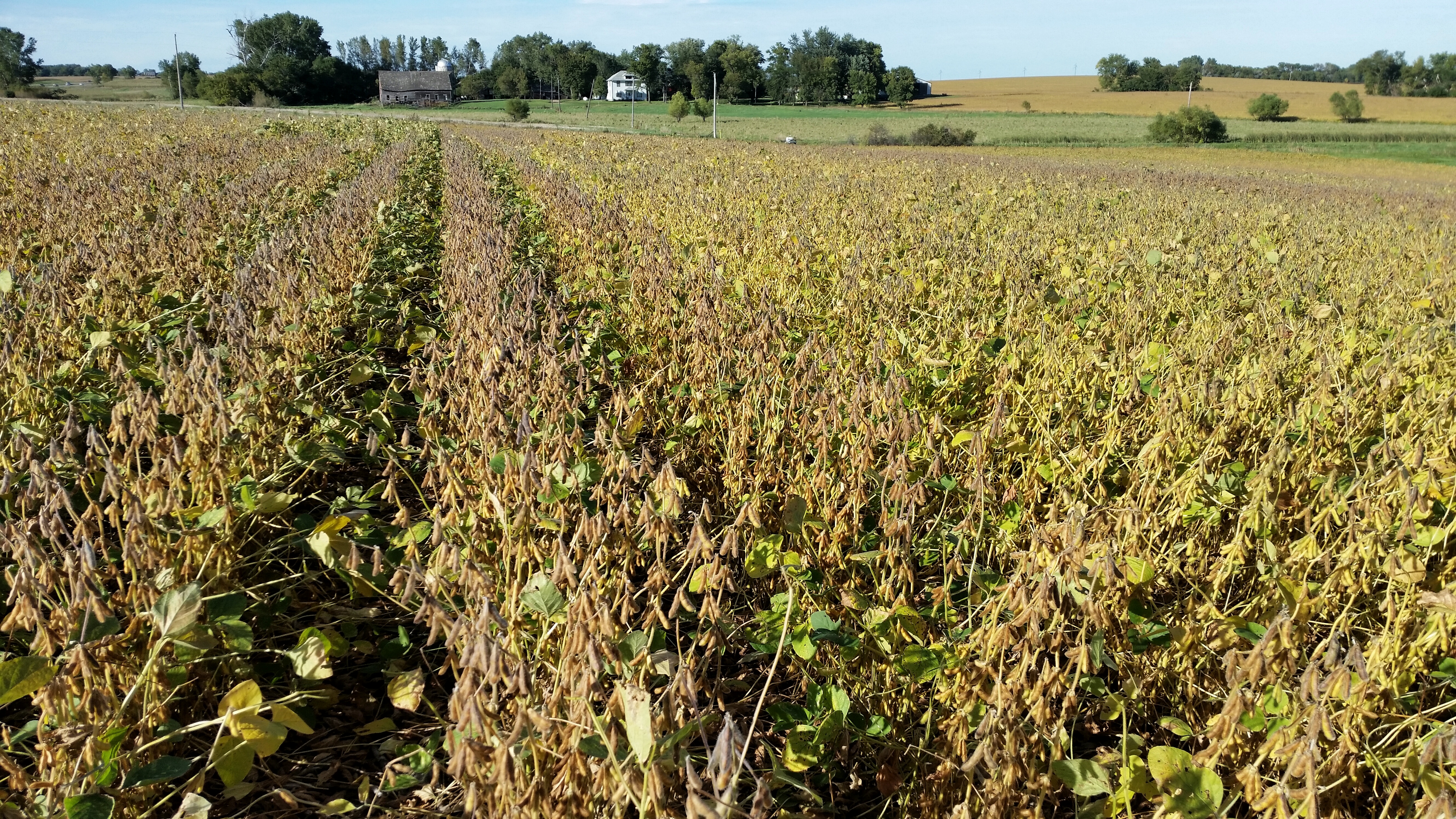
Soybean Field

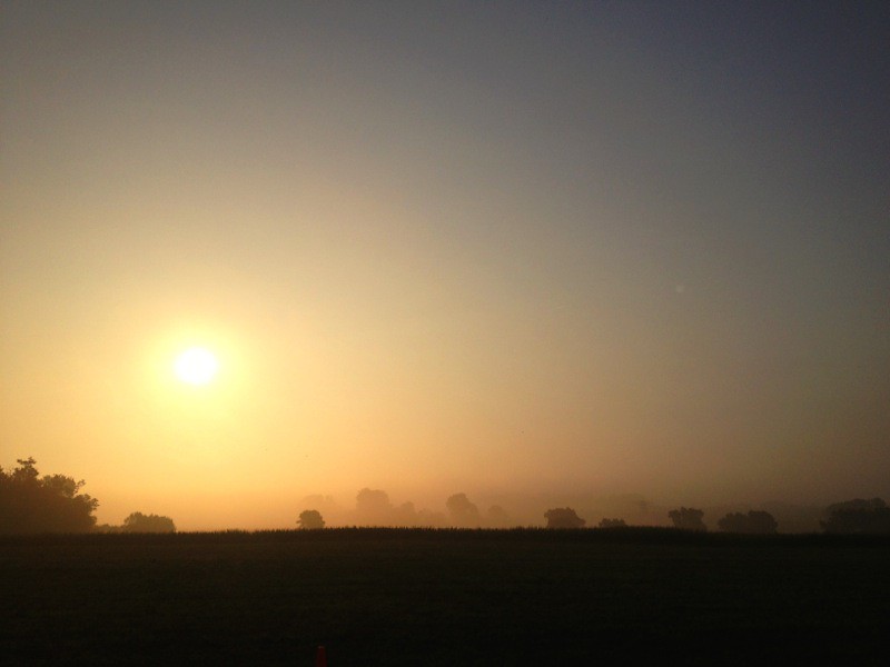
Sunset Through the Rye
Topographic Map of East 1st Street, E 1st St, Dell Rapids, SD, USA
Find elevation by address:

Places near East 1st Street, E 1st St, Dell Rapids, SD, USA:
207 E 2nd St
Dell Rapids
Moody County
Mapleton
1st Ave, Baltic, SD, USA
Crooks
Minnehaha County
Interstate 90
1401 E Robur Dr
200 East 60th St N
Colton
N Romar Dr, Sioux Falls, SD, USA
700 East 54th St N
4200 E Producer Ln
5440 54th St N
25827 484th Ave
Flandreau
Brandon
Pipestone St, Brandon, SD, USA
Taopi Township
Recent Searches:
- Elevation of Corso Fratelli Cairoli, 35, Macerata MC, Italy
- Elevation of Tallevast Rd, Sarasota, FL, USA
- Elevation of 4th St E, Sonoma, CA, USA
- Elevation of Black Hollow Rd, Pennsdale, PA, USA
- Elevation of Oakland Ave, Williamsport, PA, USA
- Elevation of Pedrógão Grande, Portugal
- Elevation of Klee Dr, Martinsburg, WV, USA
- Elevation of Via Roma, Pieranica CR, Italy
- Elevation of Tavkvetili Mountain, Georgia
- Elevation of Hartfords Bluff Cir, Mt Pleasant, SC, USA