Elevation of Eagles Nest Dr, Hermosa, SD, USA
Location: United States > South Dakota > Custer County > East Custer > Hermosa >
Longitude: -103.31106
Latitude: 43.7181617
Elevation: 1222m / 4009feet
Barometric Pressure: 87KPa
Elevation Map:
Satellite Map:
Related Photos:
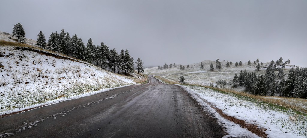
Groves of Trees Scattered Across the Rolling Hillsides of Custer State Park
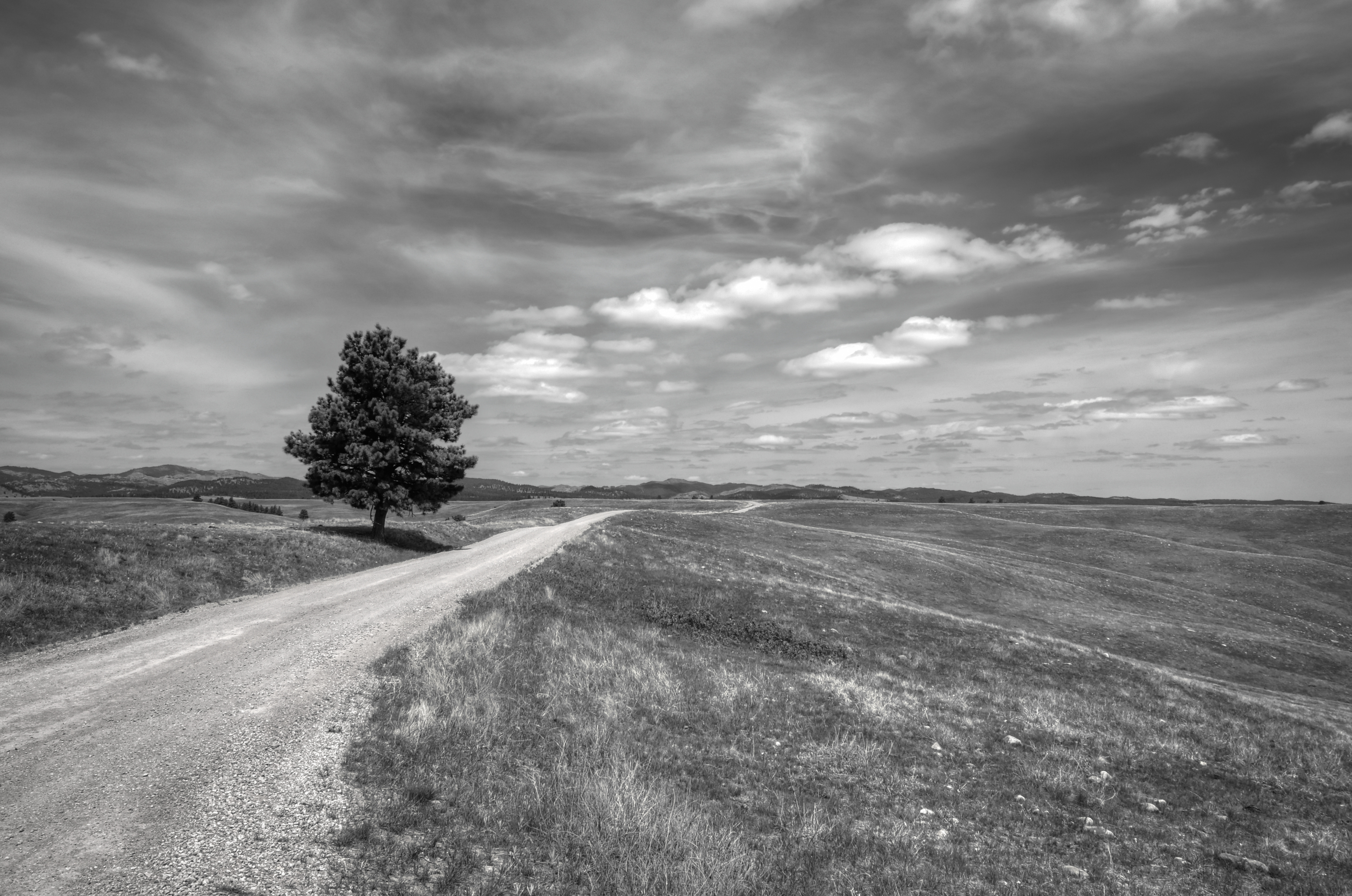
First Views Across the Prairie Landscape and Rolling Hills of Wind Cave National Park (Black & White)

So There I Was Driving Along... (Mount Rushmore National Memorial)
Through the tunnel to Mt Rushmore
A Grassy Meadow Leading to a Forest Edge (Wind Cave National Park)

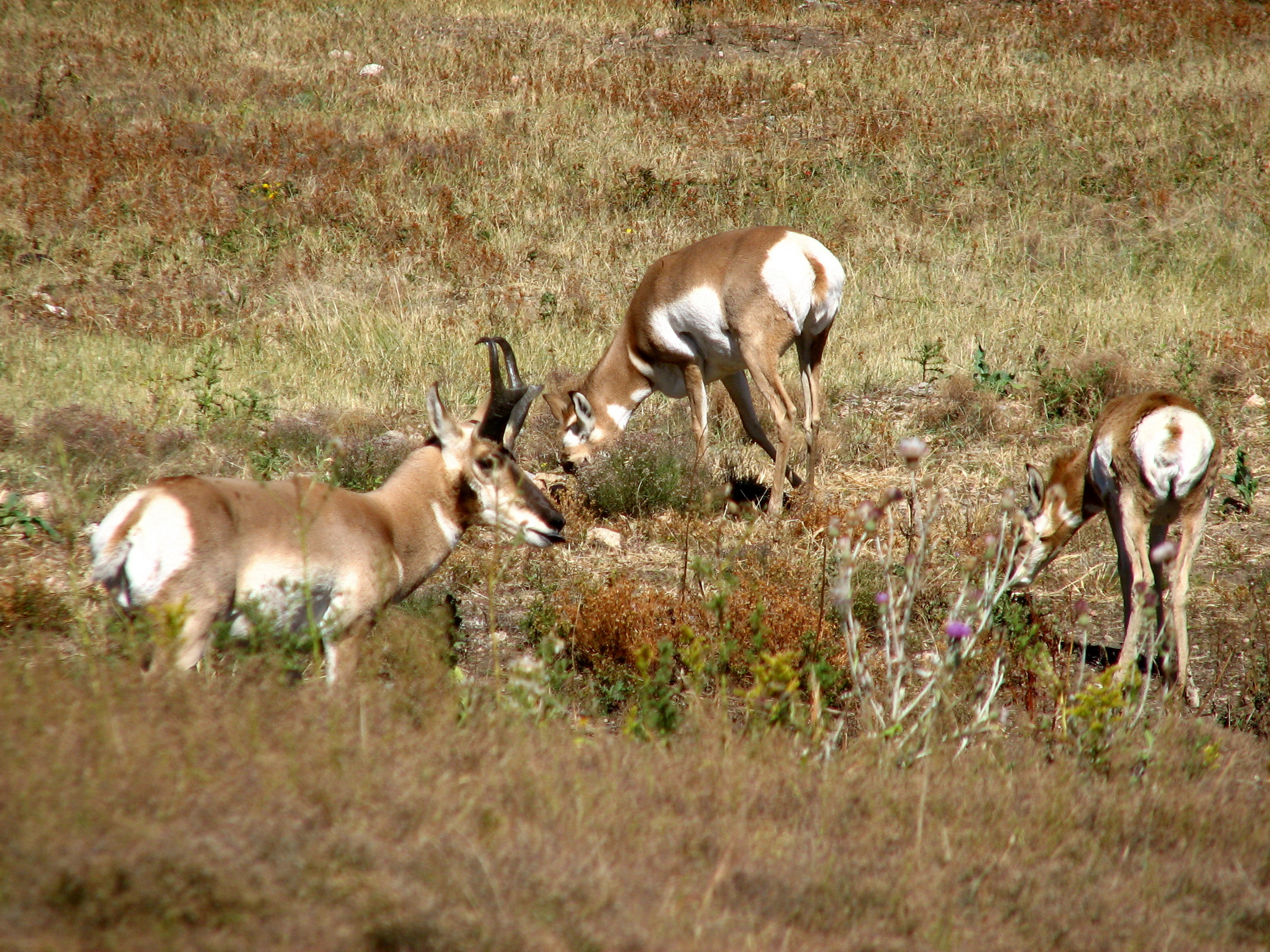
America's "Antelope"
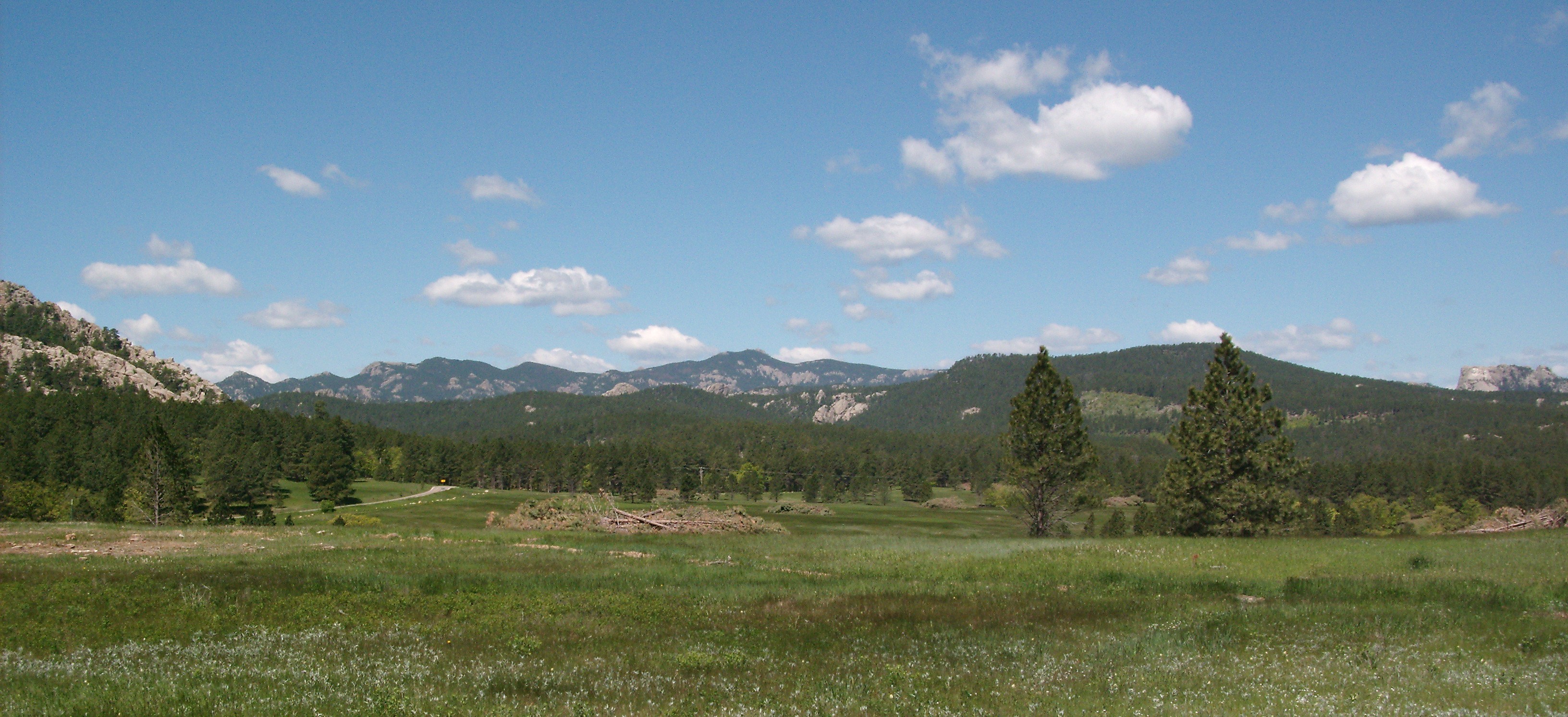
Black Hills Skyline

Custer State Park

Bird on a Dead Tree

Panoramic View off of Wildlife Loop Road (Custer State Park)
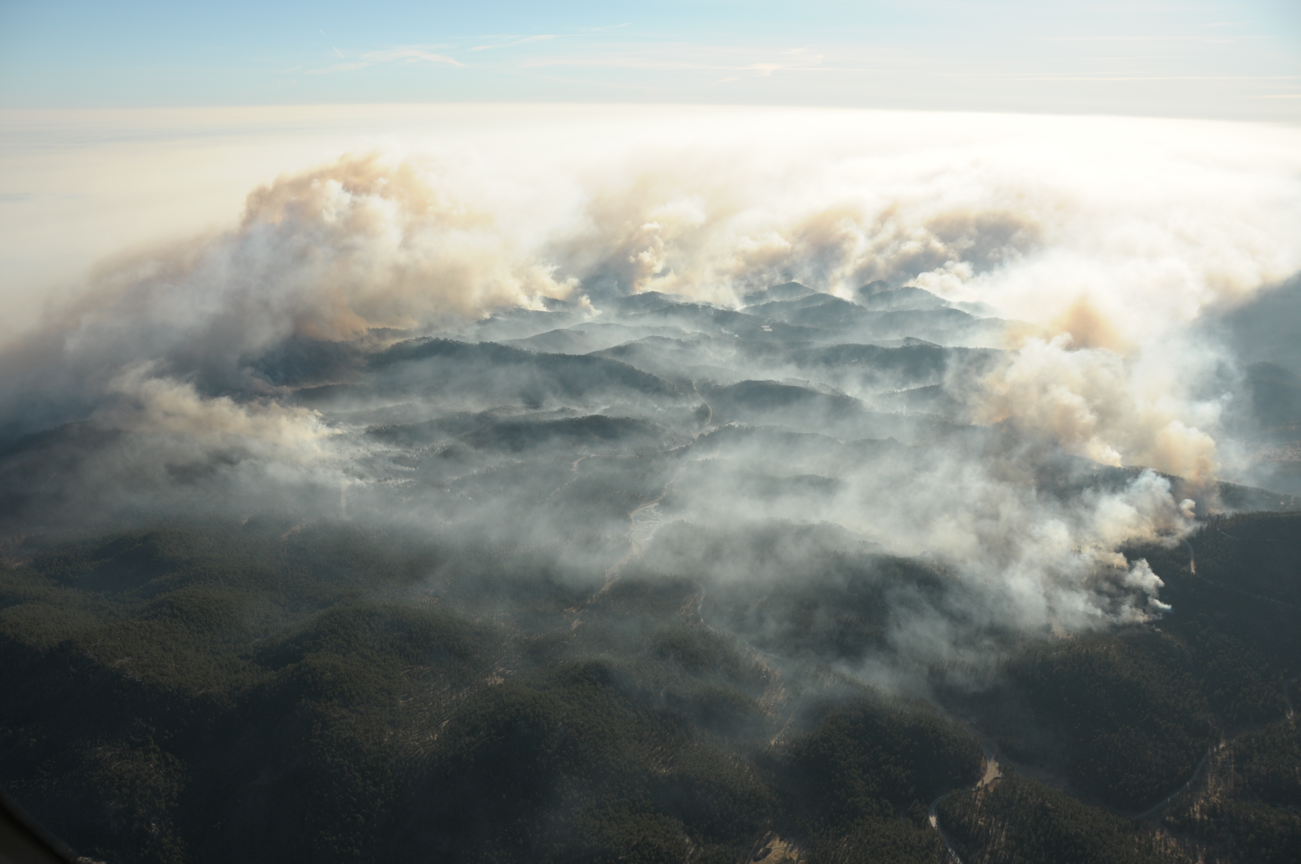
Aerial View Legion Lake Fire, Black Hills

Lover's Leap Trail - Custer SP

Custer State Park
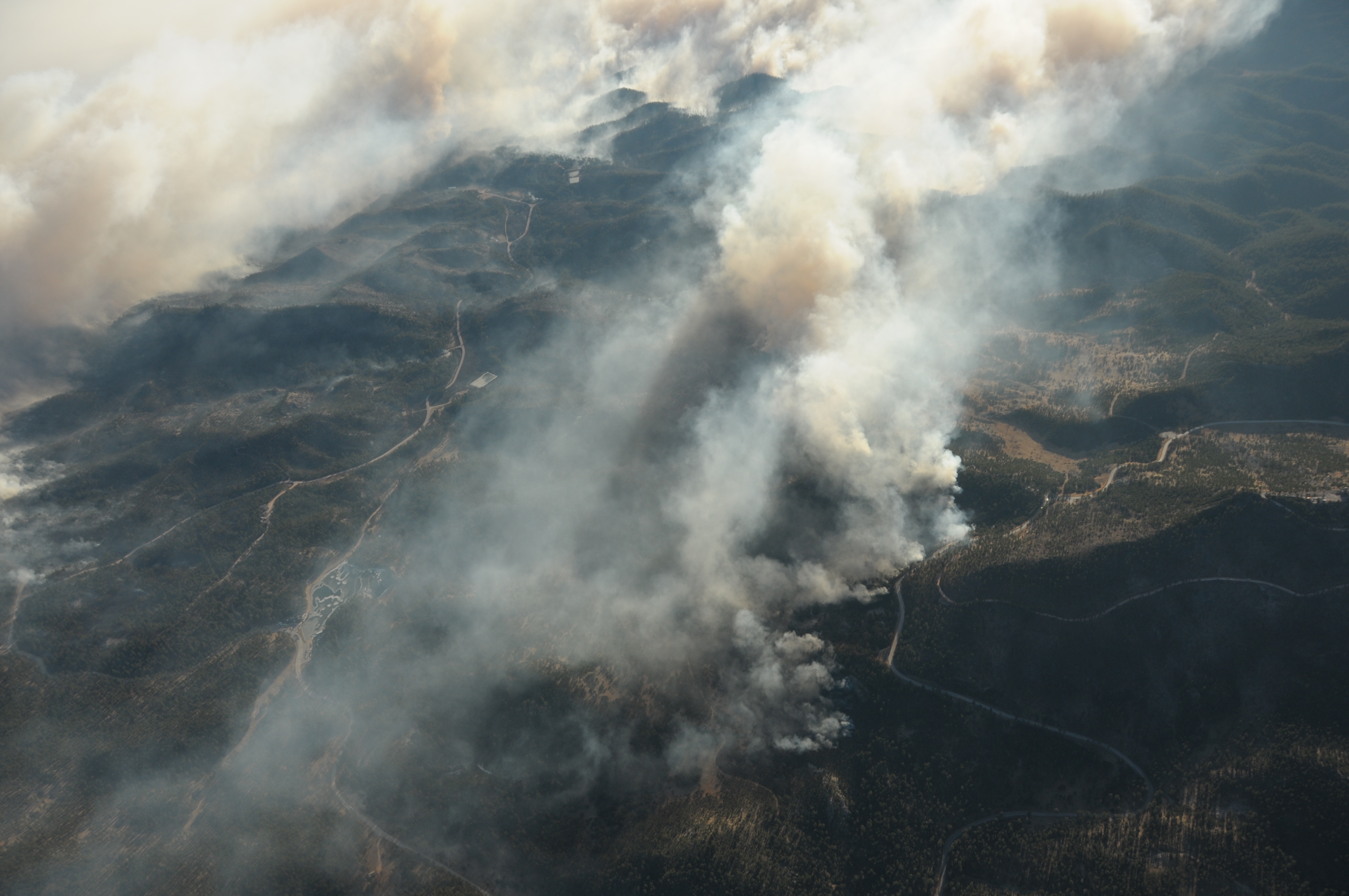
Aerial View Legion Lake Fire, Black Hills
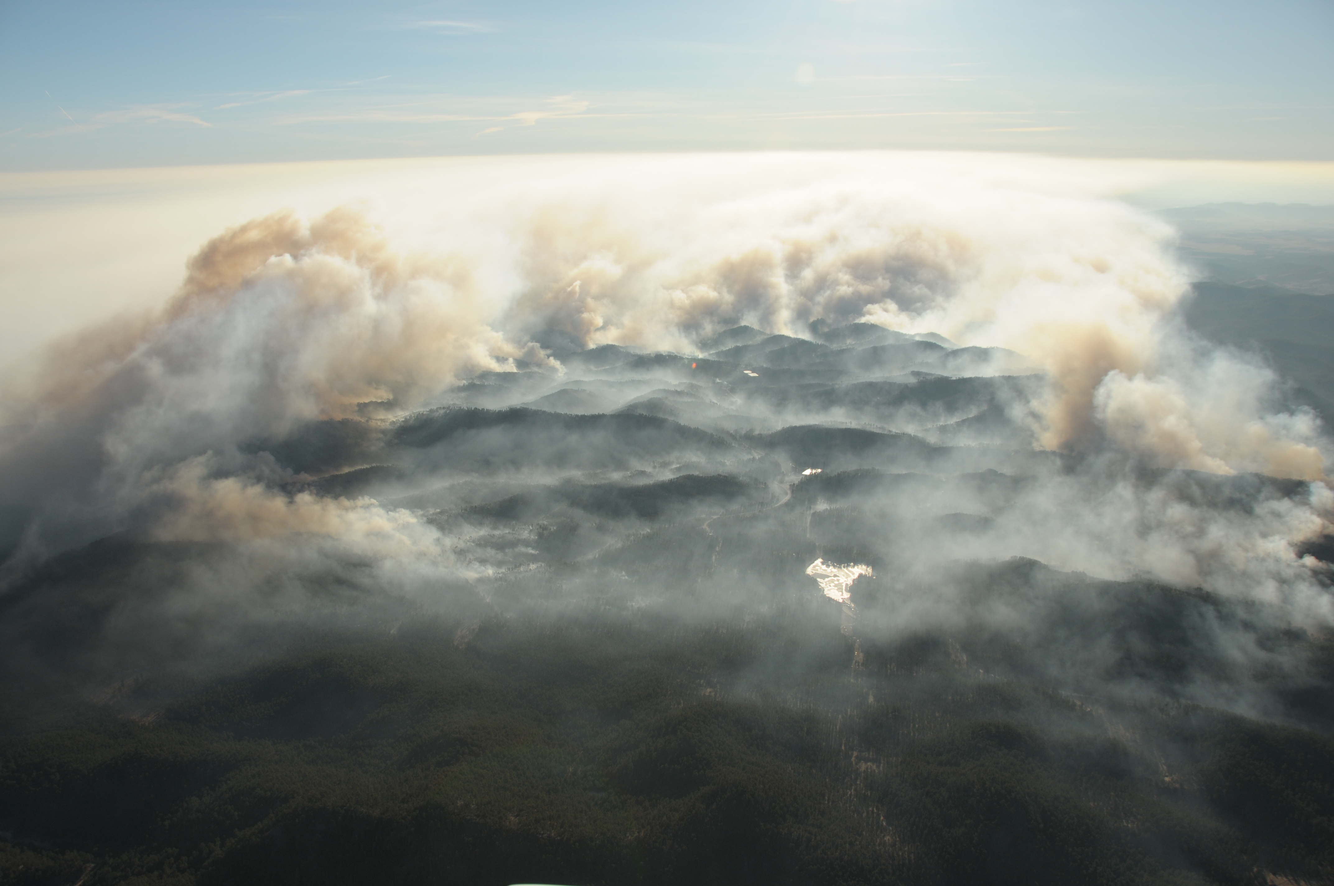
Aerial View Legion Lake Fire, Black Hills
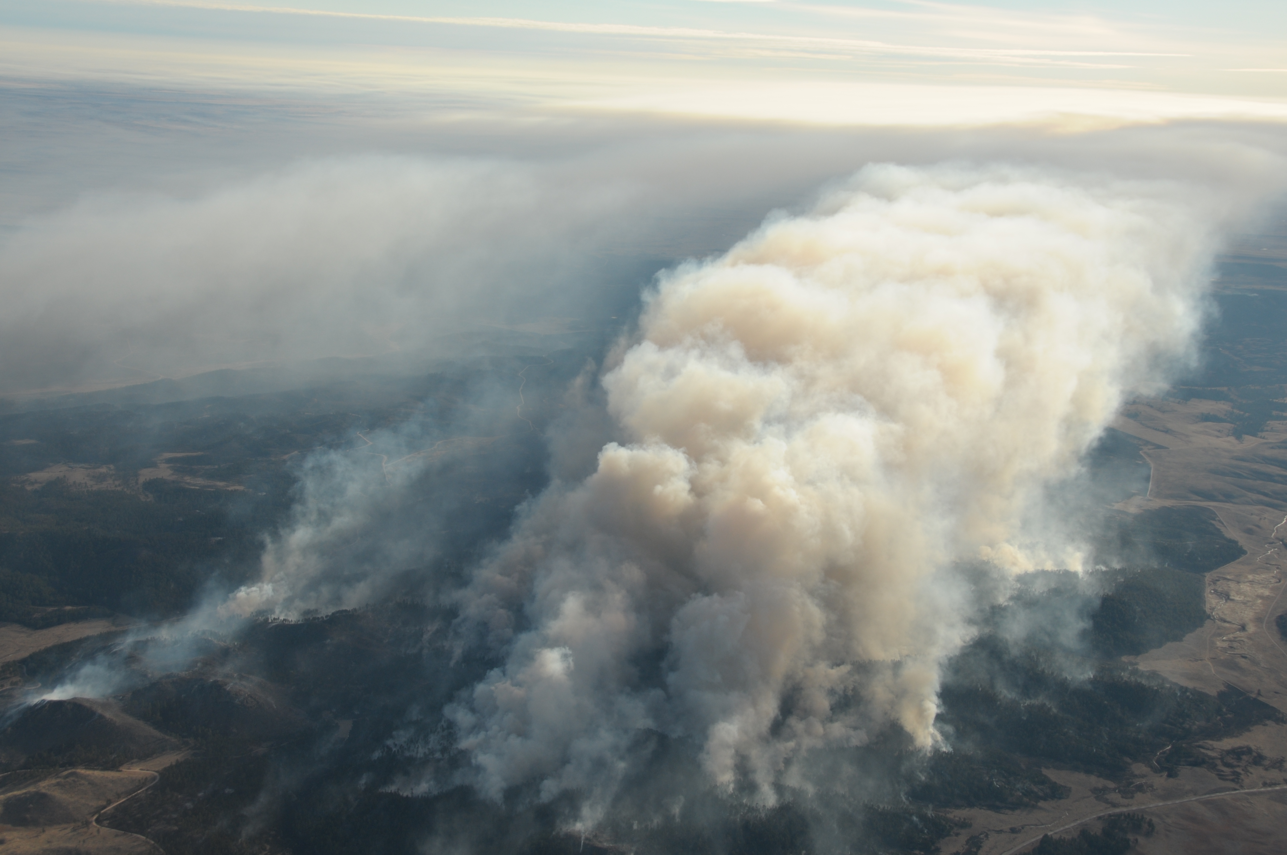
Aerial View Legion Lake Fire, Black Hills

Aerial View Legion Lake Fire, Black Hills
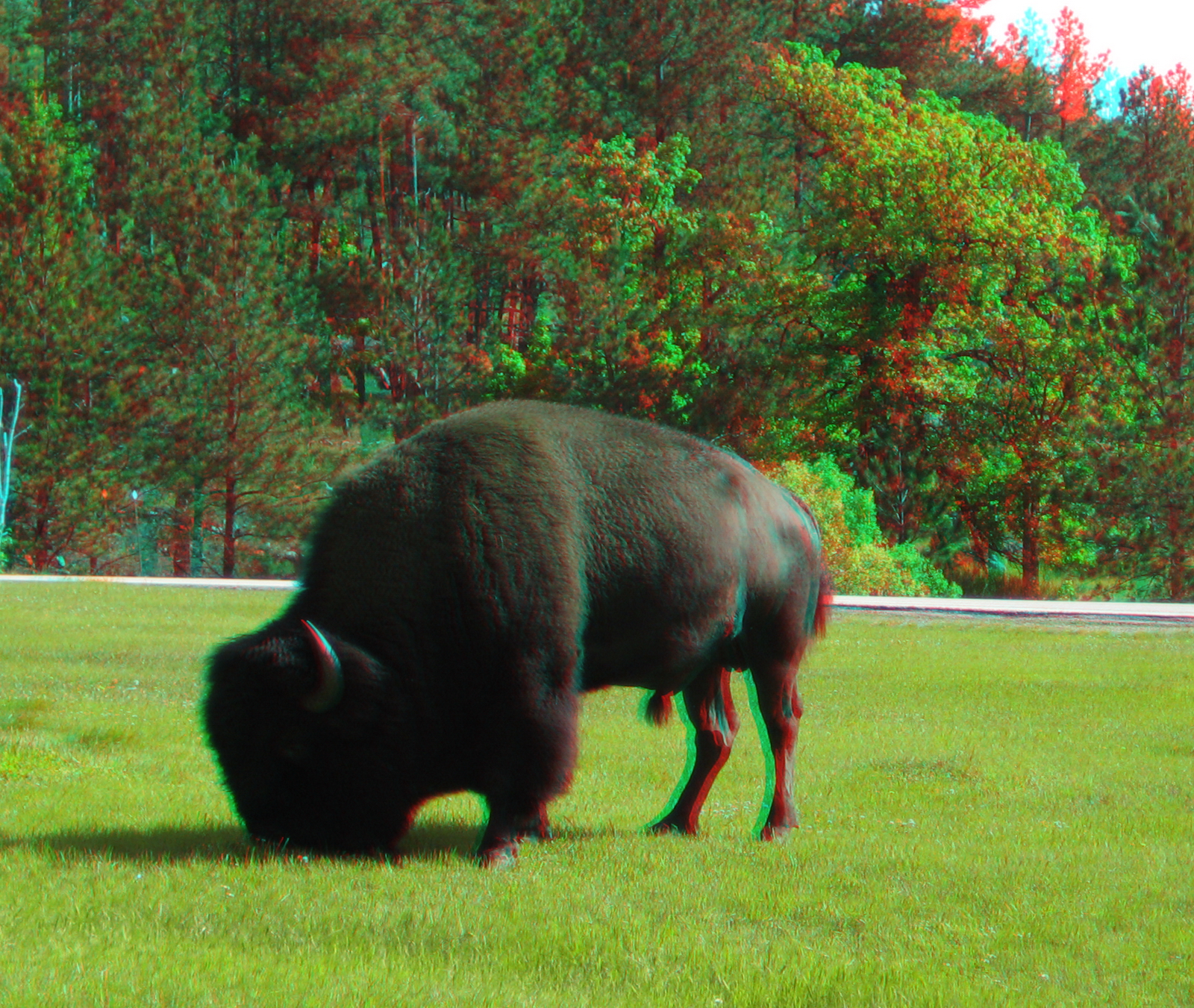
Grazing in the Campground (3D)
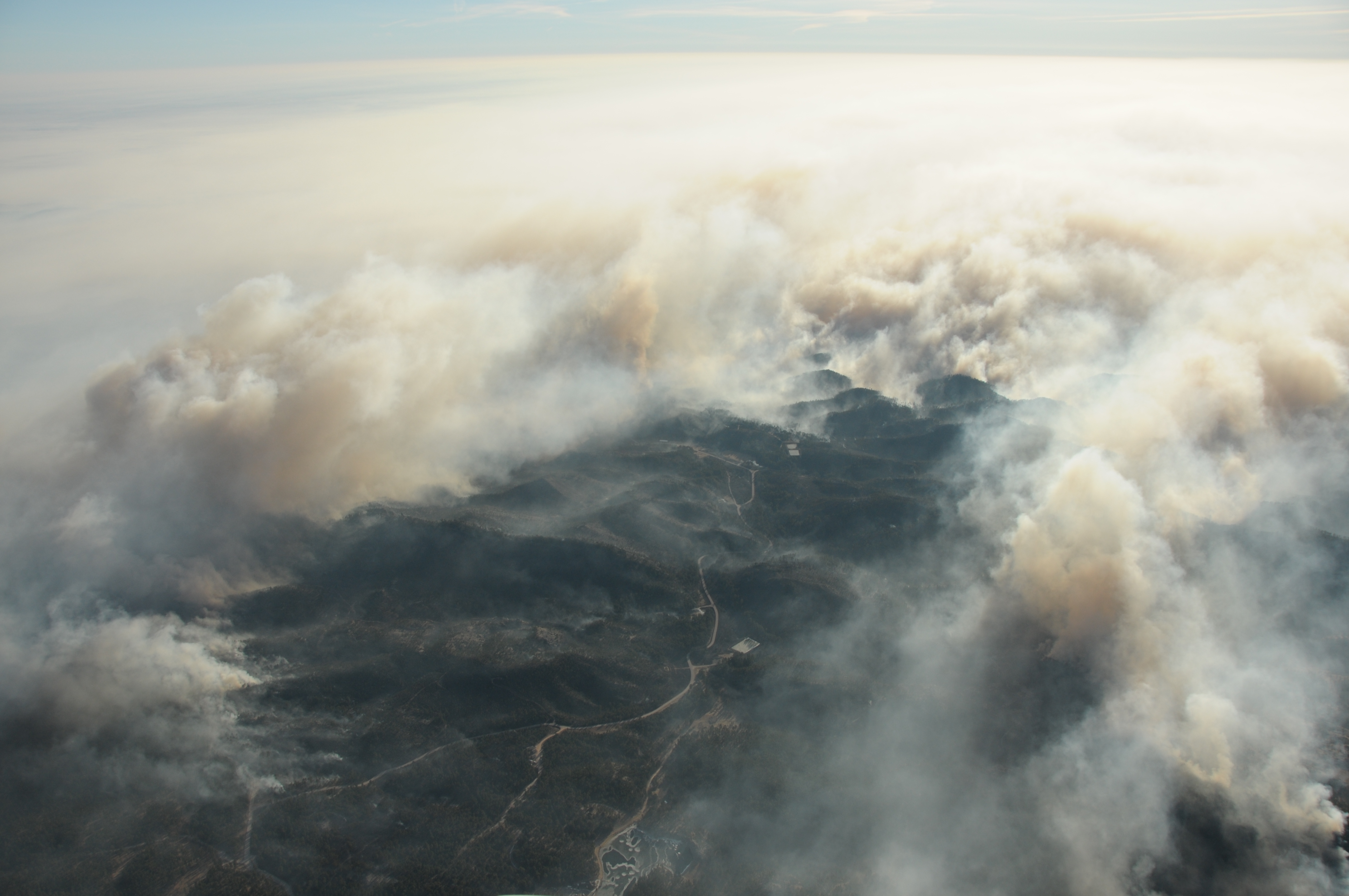
Aerial View Legion Lake Fire, Black Hills
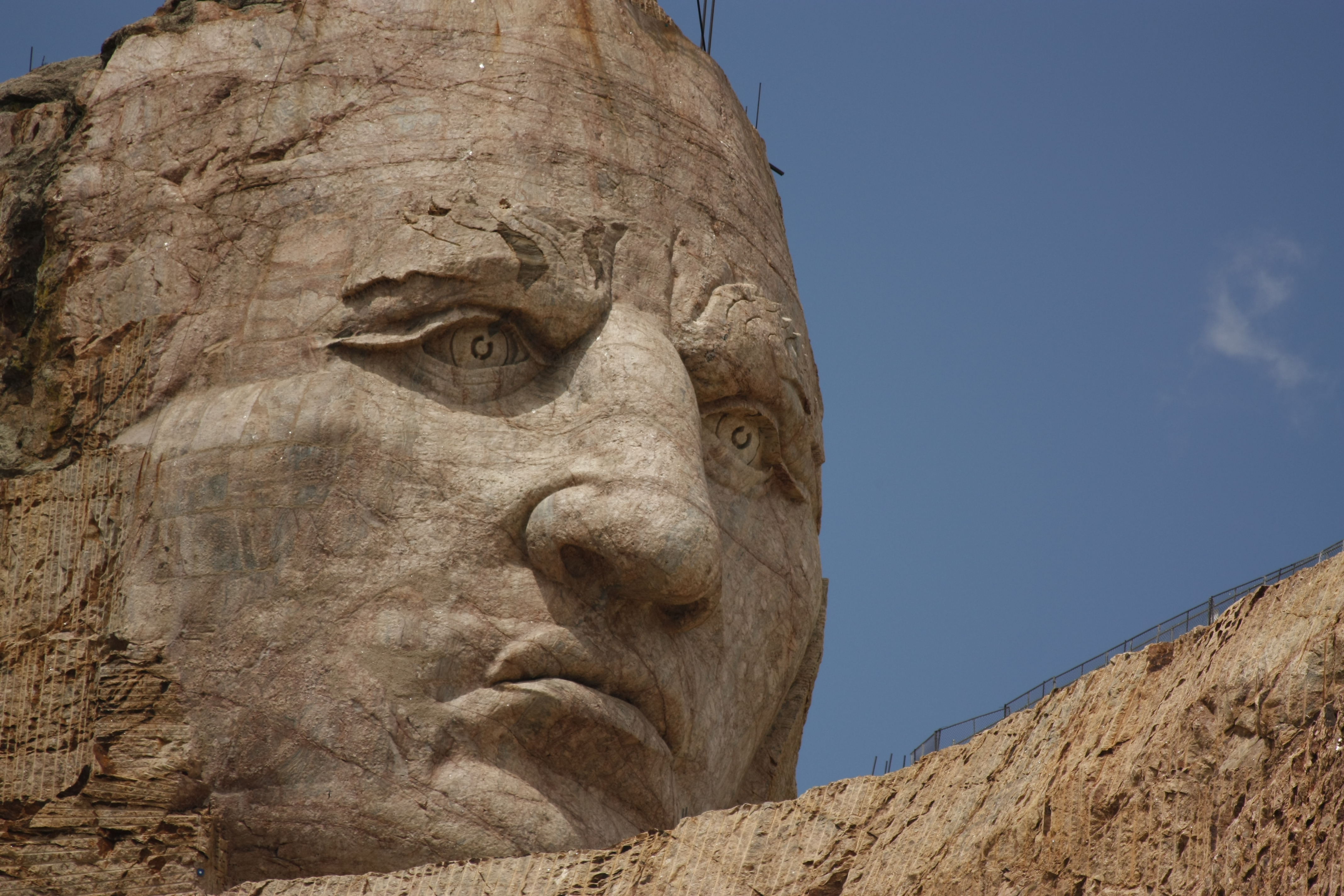
Crazy Horse

Aerial View Legion Lake Fire, Black Hills
Custer SP - Panorama
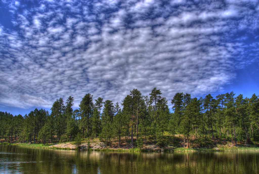
Wind Cave National Park HDR
Legion Lake (East Custer, South Dakota)
Custer State Park
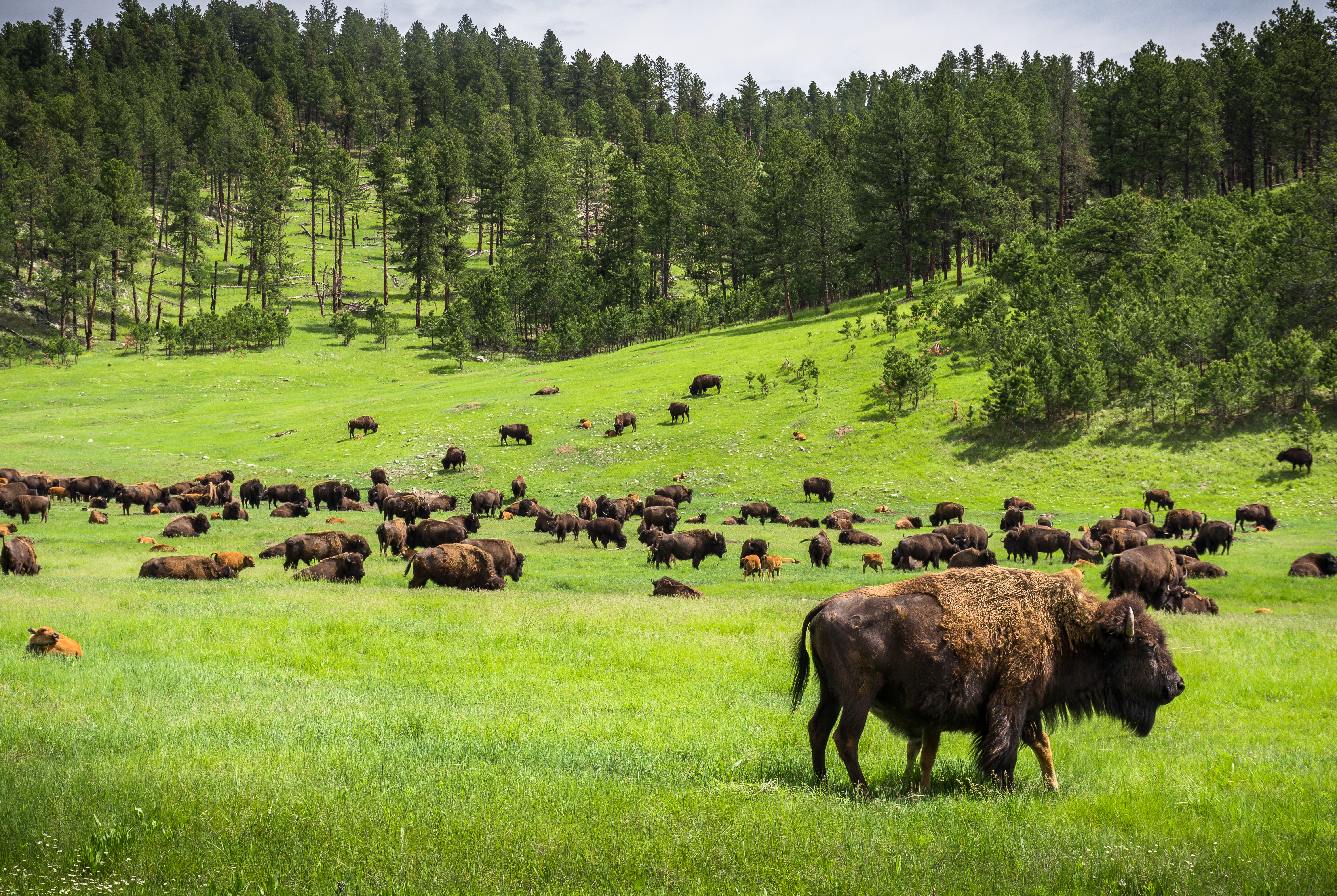
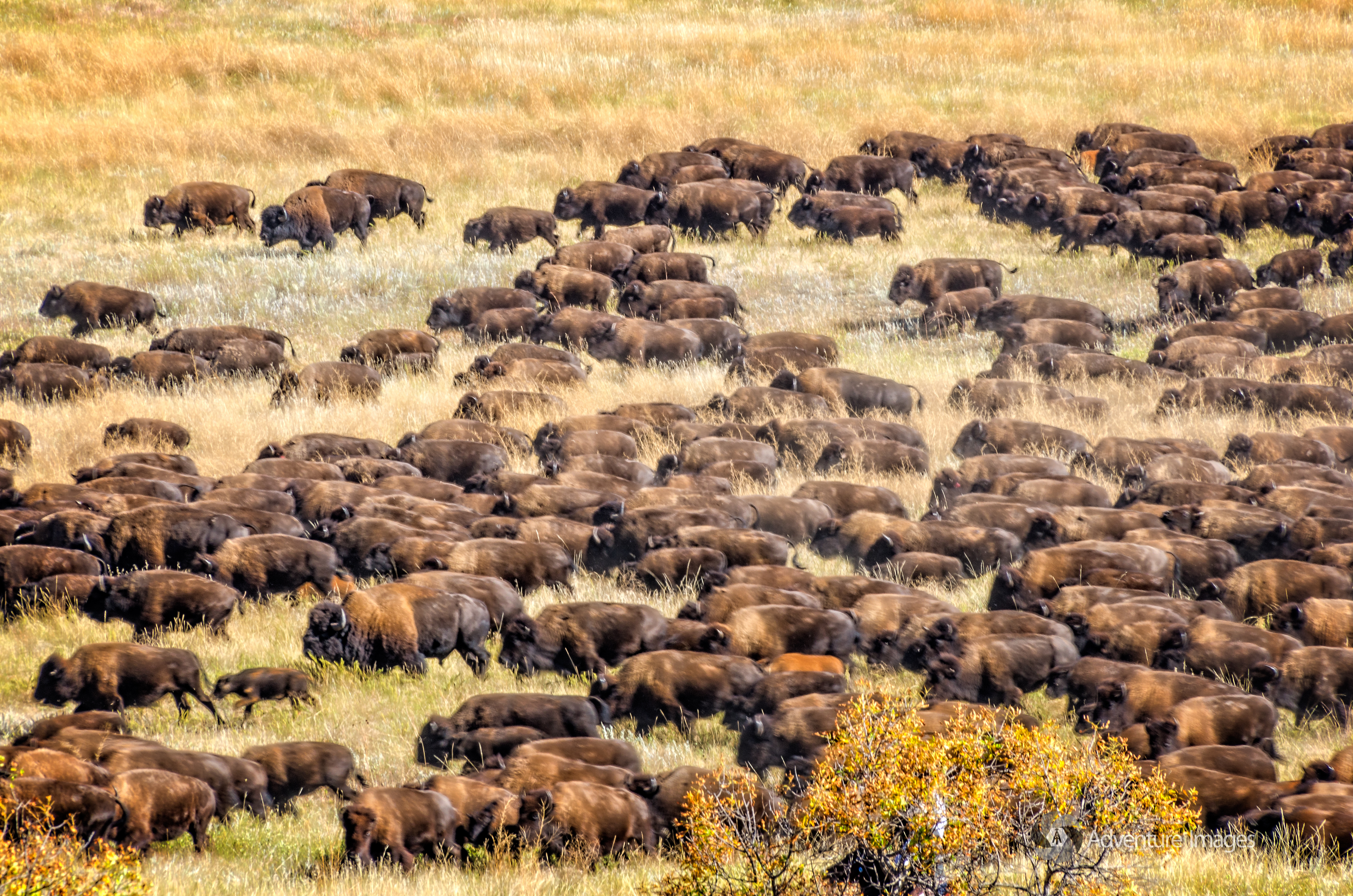
Bison herd at Custer Park
Custer State Park South Dakota

Custer State Park
Legion Lake
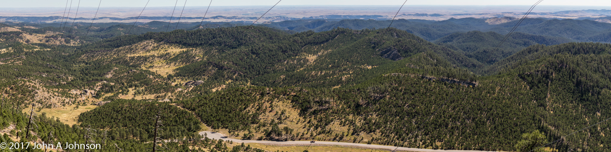
2017-09-20 Mt Coolidge 8 Gadlands in the distance
_RWB7389-Edit.jpg
Custer State Park
Tree At Sunrise POTD
Custer State Park

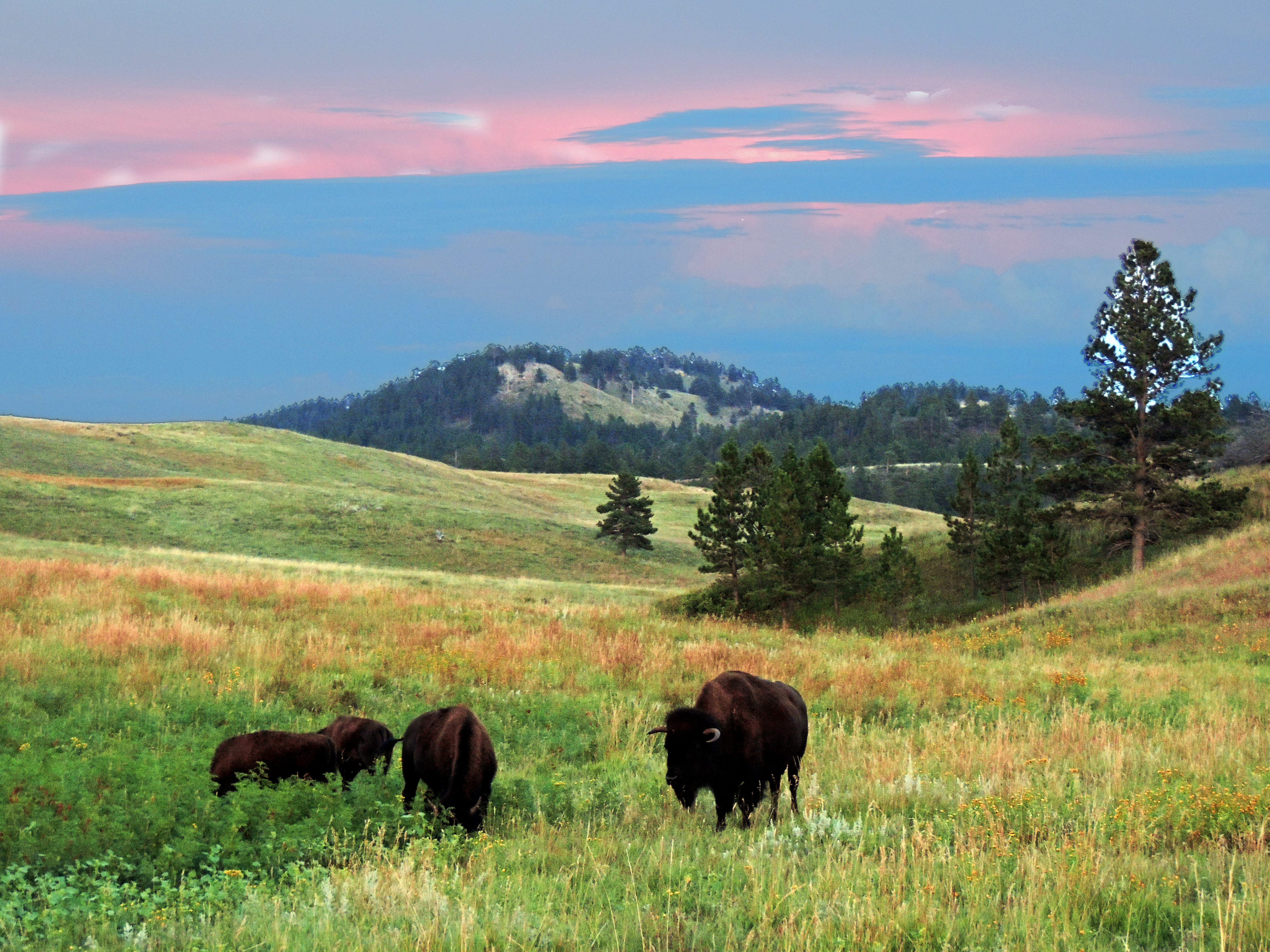
American Wild Buffalo
Topographic Map of Eagles Nest Dr, Hermosa, SD, USA
Find elevation by address:

Places near Eagles Nest Dr, Hermosa, SD, USA:
L H Road
13858 L H Rd
25941 Sd-79
Custer State Park Visitor Center
Custer State Park Game Lodge Campground
South Branch Drive Creek
State Game Lodge
State Game Lodge
Custer State Park
13781 Sage Brush Trail
13737 Latigo Rd
24631 Iron Mountain Rd
13790 Sd-40
Custer County
13661 Sd-40
24423 Granite Ct
Buffalo Rock Lodge
Legion Lake Lodge
Wind Cave National Park
South Dakota 40
Recent Searches:
- Elevation of Corso Fratelli Cairoli, 35, Macerata MC, Italy
- Elevation of Tallevast Rd, Sarasota, FL, USA
- Elevation of 4th St E, Sonoma, CA, USA
- Elevation of Black Hollow Rd, Pennsdale, PA, USA
- Elevation of Oakland Ave, Williamsport, PA, USA
- Elevation of Pedrógão Grande, Portugal
- Elevation of Klee Dr, Martinsburg, WV, USA
- Elevation of Via Roma, Pieranica CR, Italy
- Elevation of Tavkvetili Mountain, Georgia
- Elevation of Hartfords Bluff Cir, Mt Pleasant, SC, USA