Elevation of Eaglehead Mountain, Big Sky, MT, USA
Location: United States > Montana > Gallatin County > Big Sky >
Longitude: -111.12578
Latitude: 45.2240969
Elevation: 2971m / 9747feet
Barometric Pressure: 70KPa
Elevation Map:
Satellite Map:
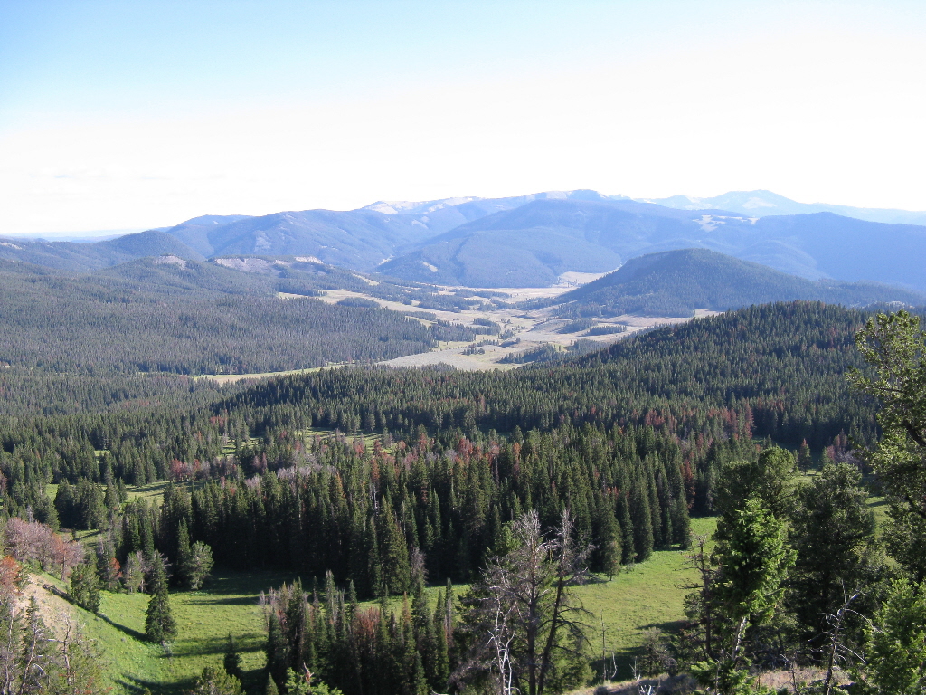
Related Photos:
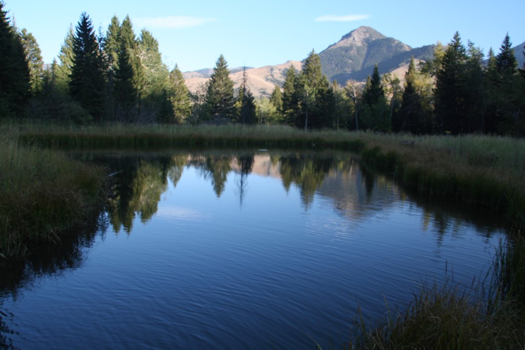
View at B Bar
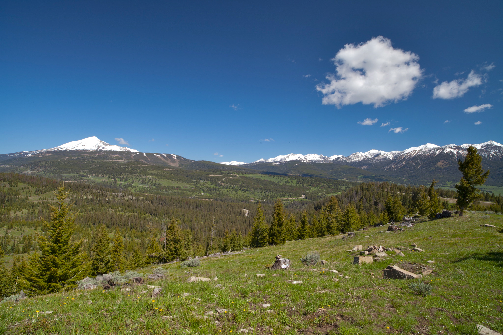
Mountain Meadows Guest Ranch view
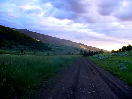
Tom Miner valley, 4th of July 2004
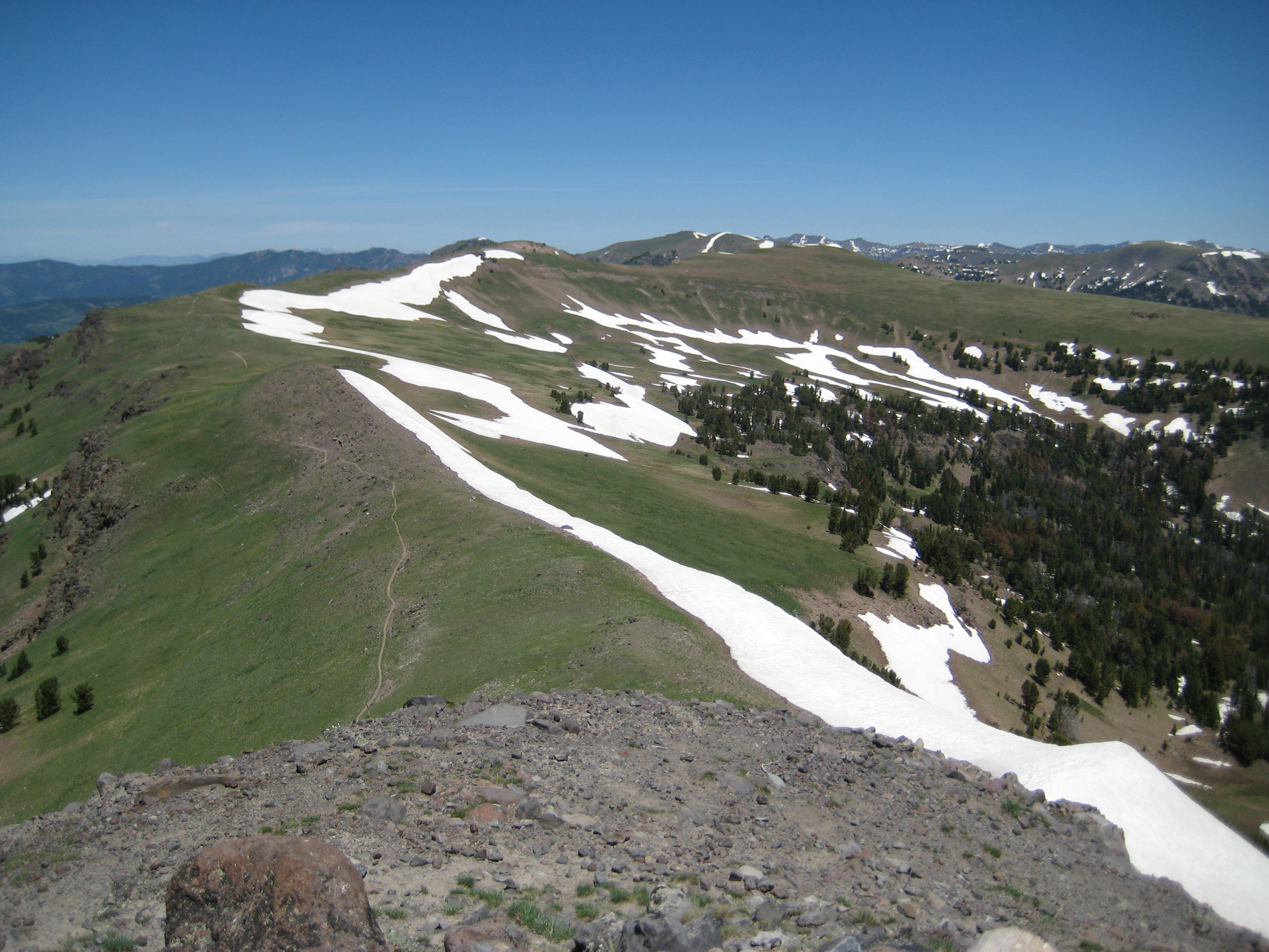
Course photo
Picture 584
Topographic Map of Eaglehead Mountain, Big Sky, MT, USA
Find elevation by address:

Places near Eaglehead Mountain, Big Sky, MT, USA:
Rainbow Ranch Lodge
Corral Bar, Steakhouse & Motel Big Sky, Mt
Buck's T-4 Lodge
Gallatin Rd, Gallatin Gateway, MT, USA
47214 Gallatin Rd
Big Sky Canyon Village
Big Sky, MT, USA
90 Lone Mountain Trail
Black Wolf Ridge
201 Trophy Bull Rd
1481 Towering Pines Rd
100 Lost Pond Rd
151 Center Ln
Black Otter Road
2 Gun White Calf Road
Big Sky Meadow Village
Residence Inn By Marriott Big Sky/the Wilson Hotel
32 Town Center Ave
Big Sky
Big Sky Town Center
Recent Searches:
- Elevation of Corso Fratelli Cairoli, 35, Macerata MC, Italy
- Elevation of Tallevast Rd, Sarasota, FL, USA
- Elevation of 4th St E, Sonoma, CA, USA
- Elevation of Black Hollow Rd, Pennsdale, PA, USA
- Elevation of Oakland Ave, Williamsport, PA, USA
- Elevation of Pedrógão Grande, Portugal
- Elevation of Klee Dr, Martinsburg, WV, USA
- Elevation of Via Roma, Pieranica CR, Italy
- Elevation of Tavkvetili Mountain, Georgia
- Elevation of Hartfords Bluff Cir, Mt Pleasant, SC, USA