Elevation of Eagle Grove, IA, USA
Location: United States > Iowa > Wright County >
Longitude: -93.926650
Latitude: 42.6991143
Elevation: 343m / 1125feet
Barometric Pressure: 97KPa
Elevation Map:
Satellite Map:
Related Photos:
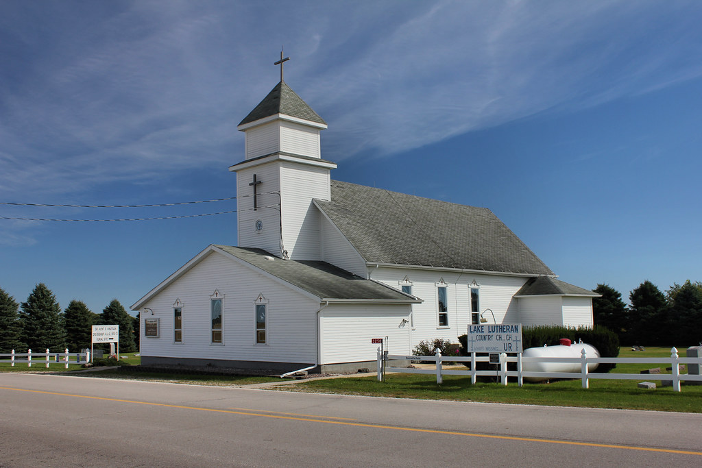
Lake Lutheran Church - rural Renwick, IA
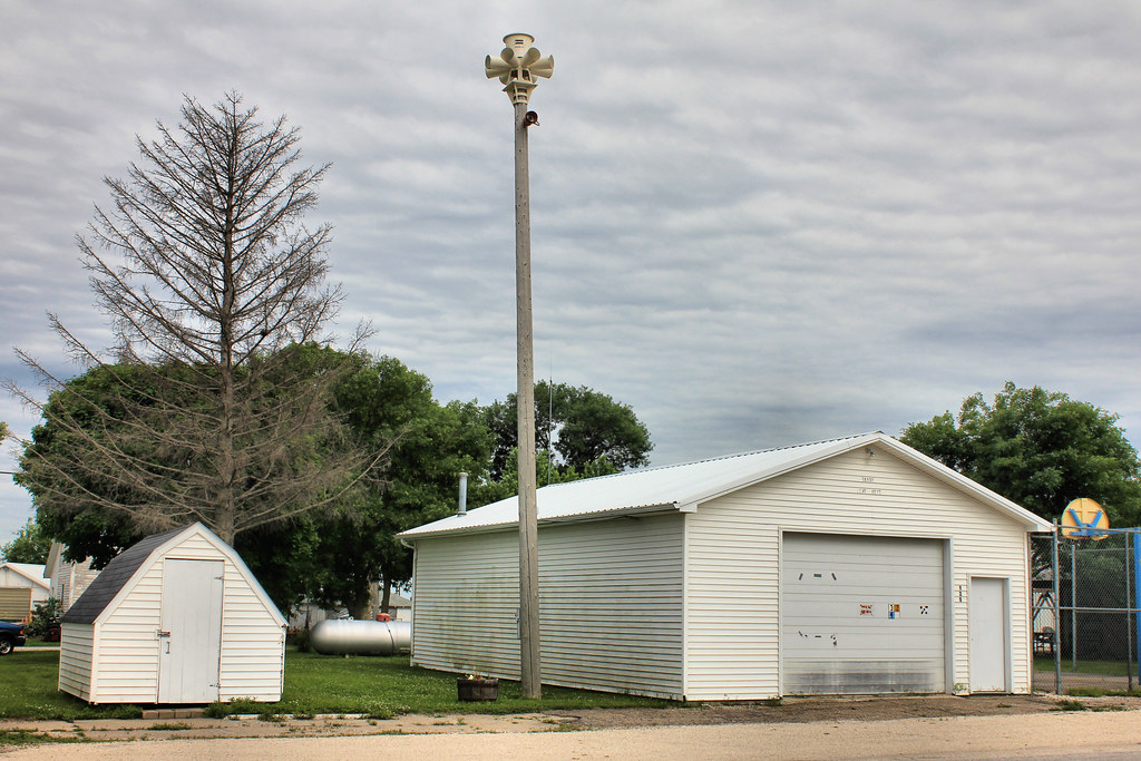
Fire Station - Hardy, IA
Gas Station - Hardy, IA
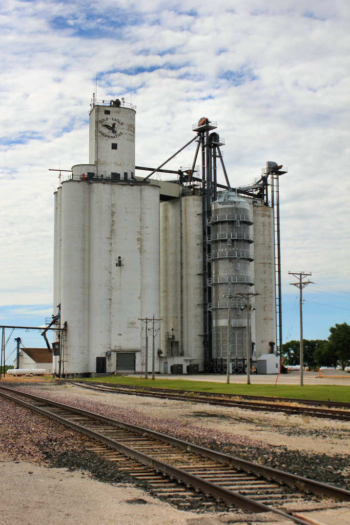
Gold-Eagle Cooperative Elevator - Hardy, IA
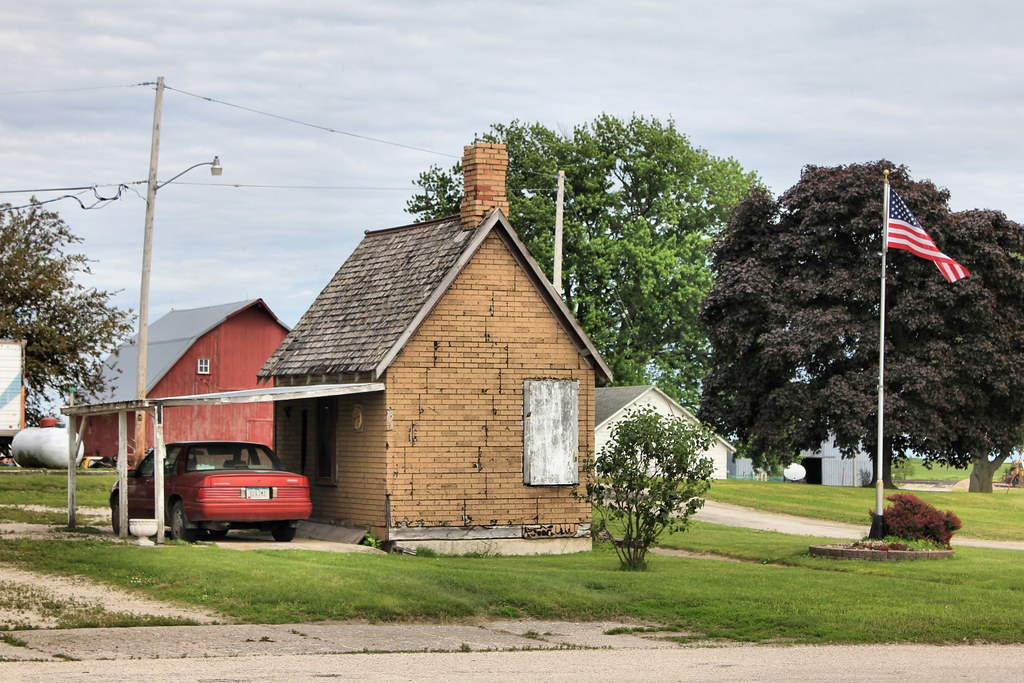
Post Office - Hardy, IA

Goldfield Bridge- Goldfield IA (1)
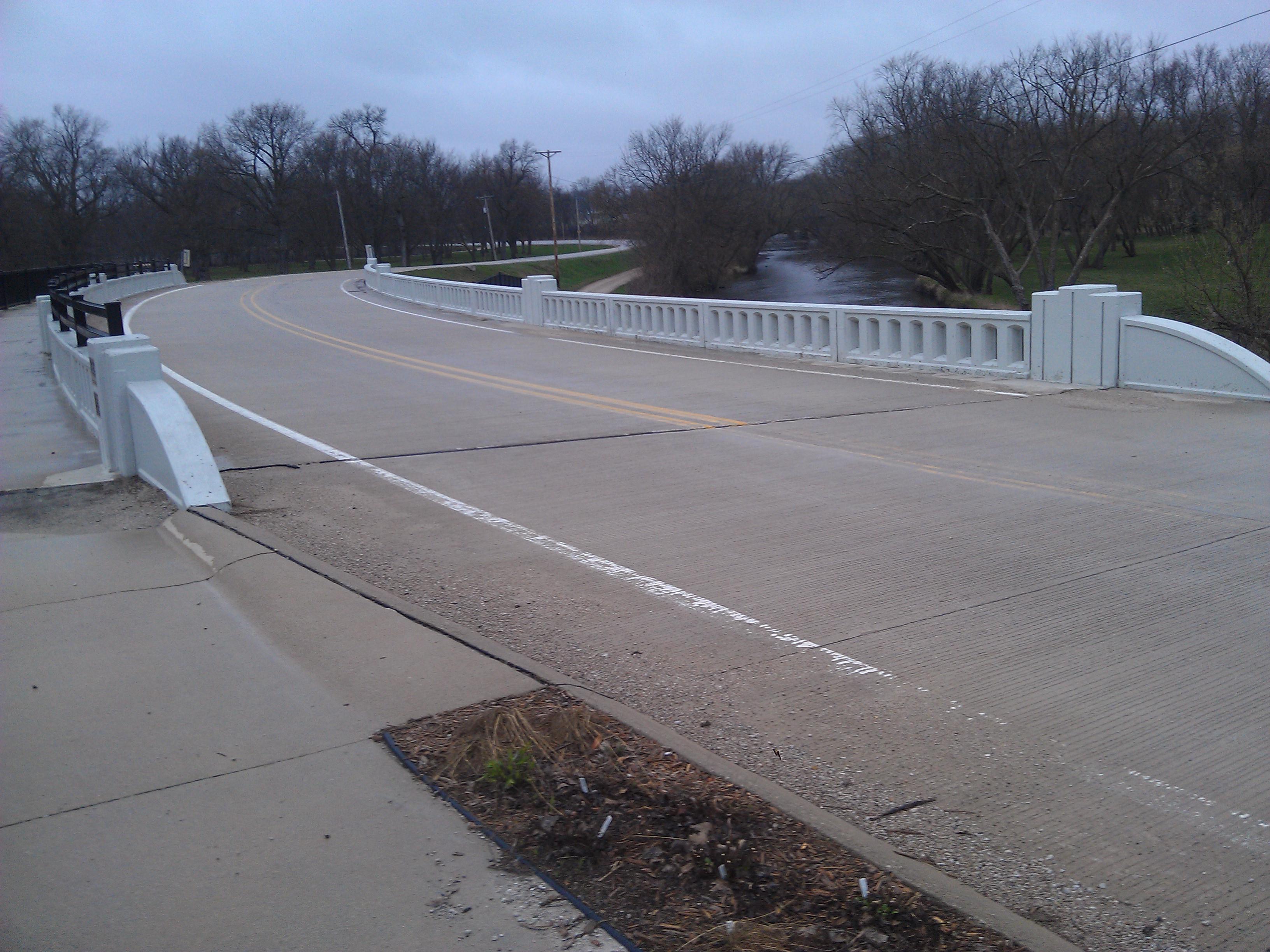
Goldfield Bridge- Goldfield IA (2)
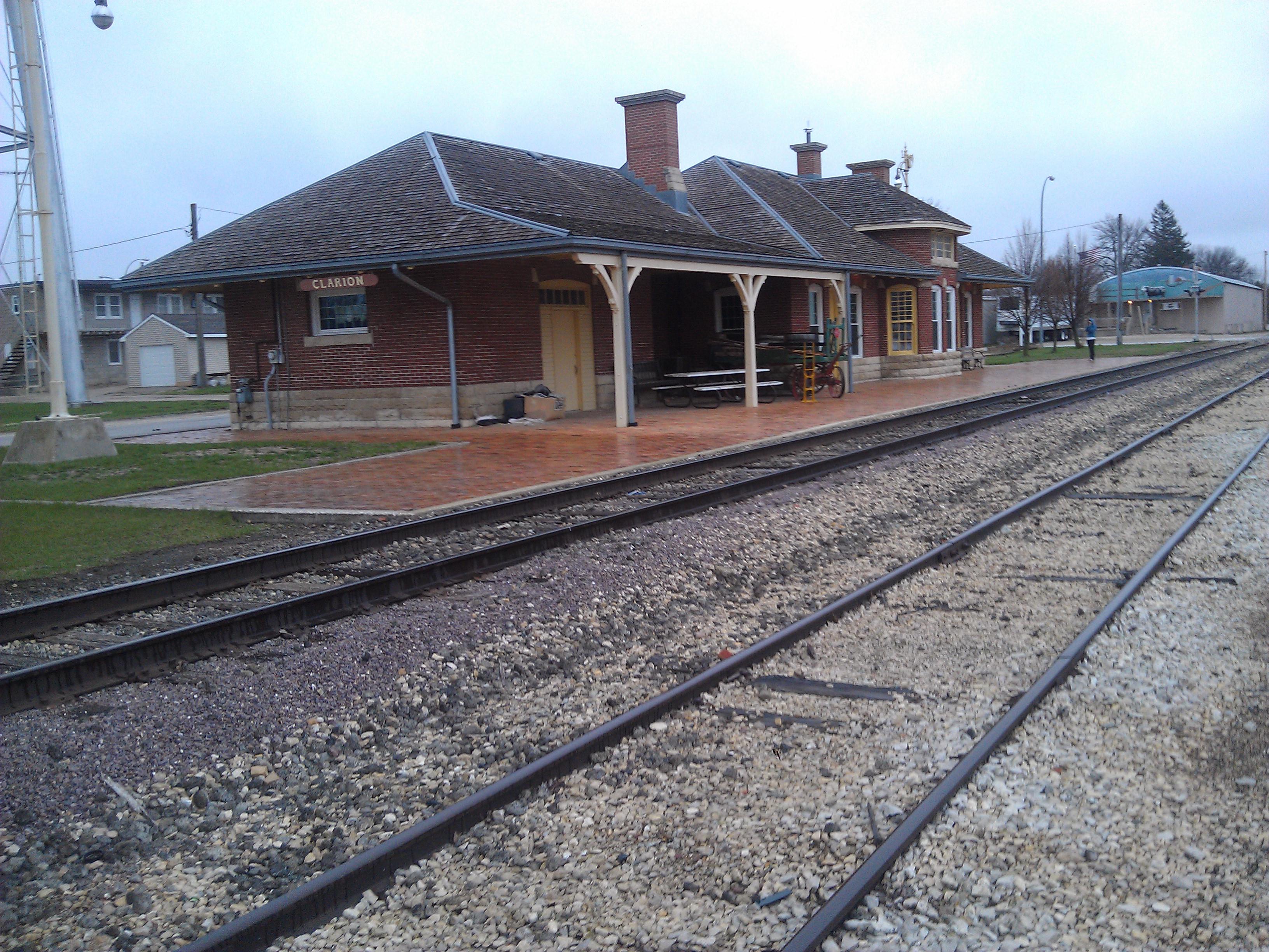
Burlington, Cedar Rapids and Northern Railroad Passenger Station- Clarion IA (3)
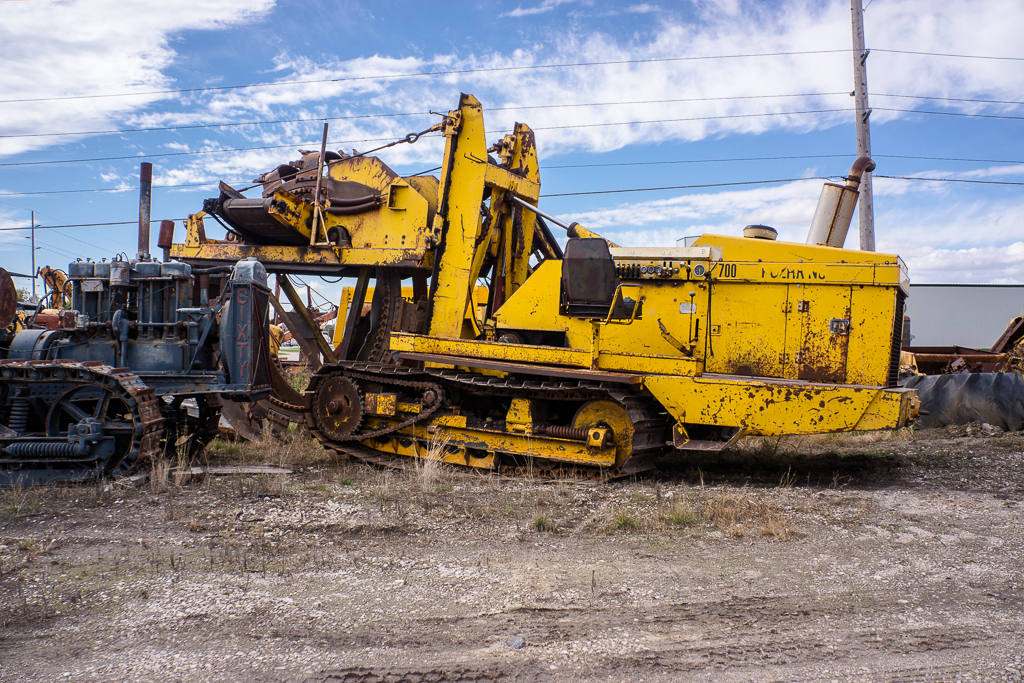
Koehring 700 Trencher
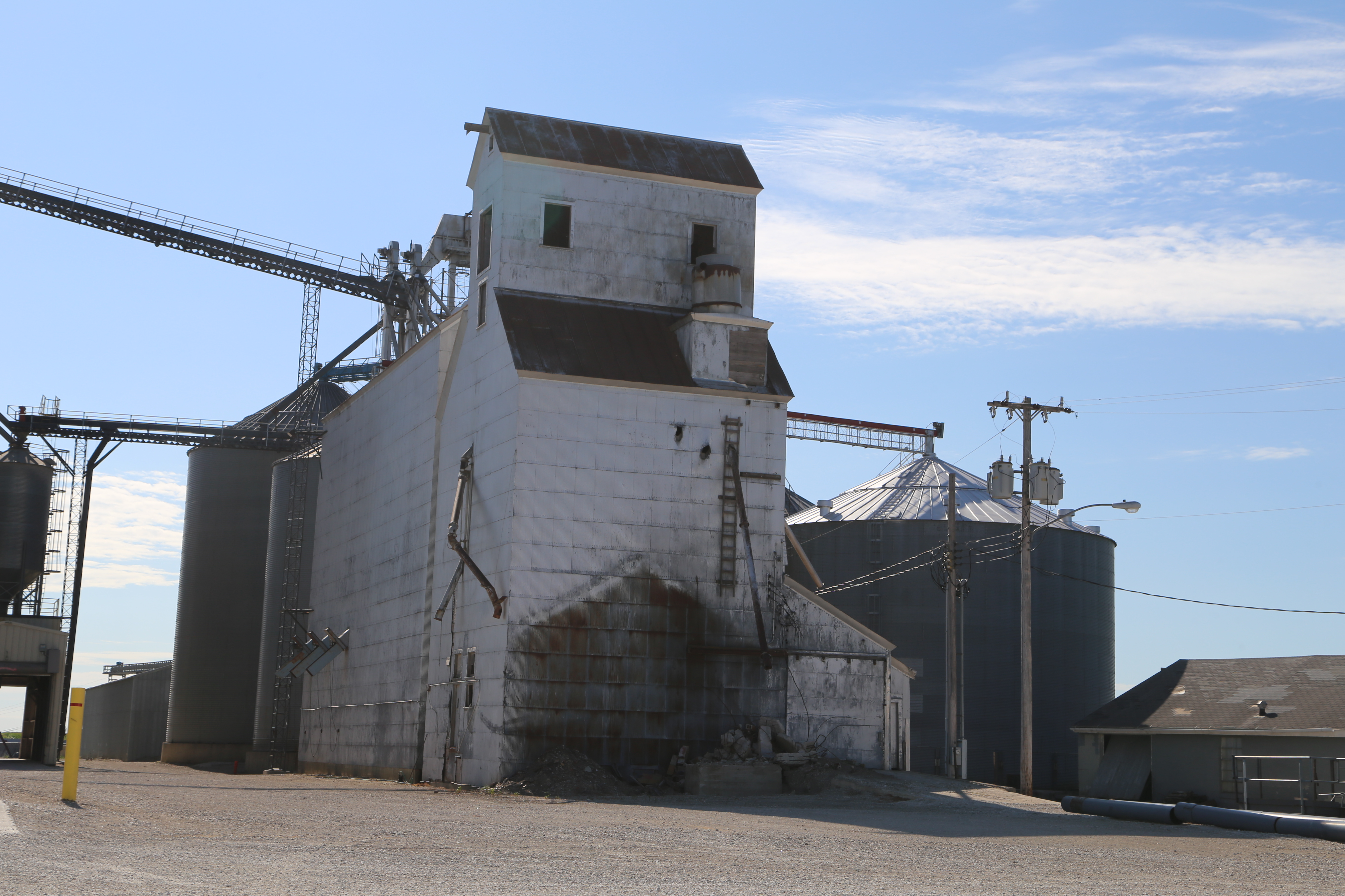
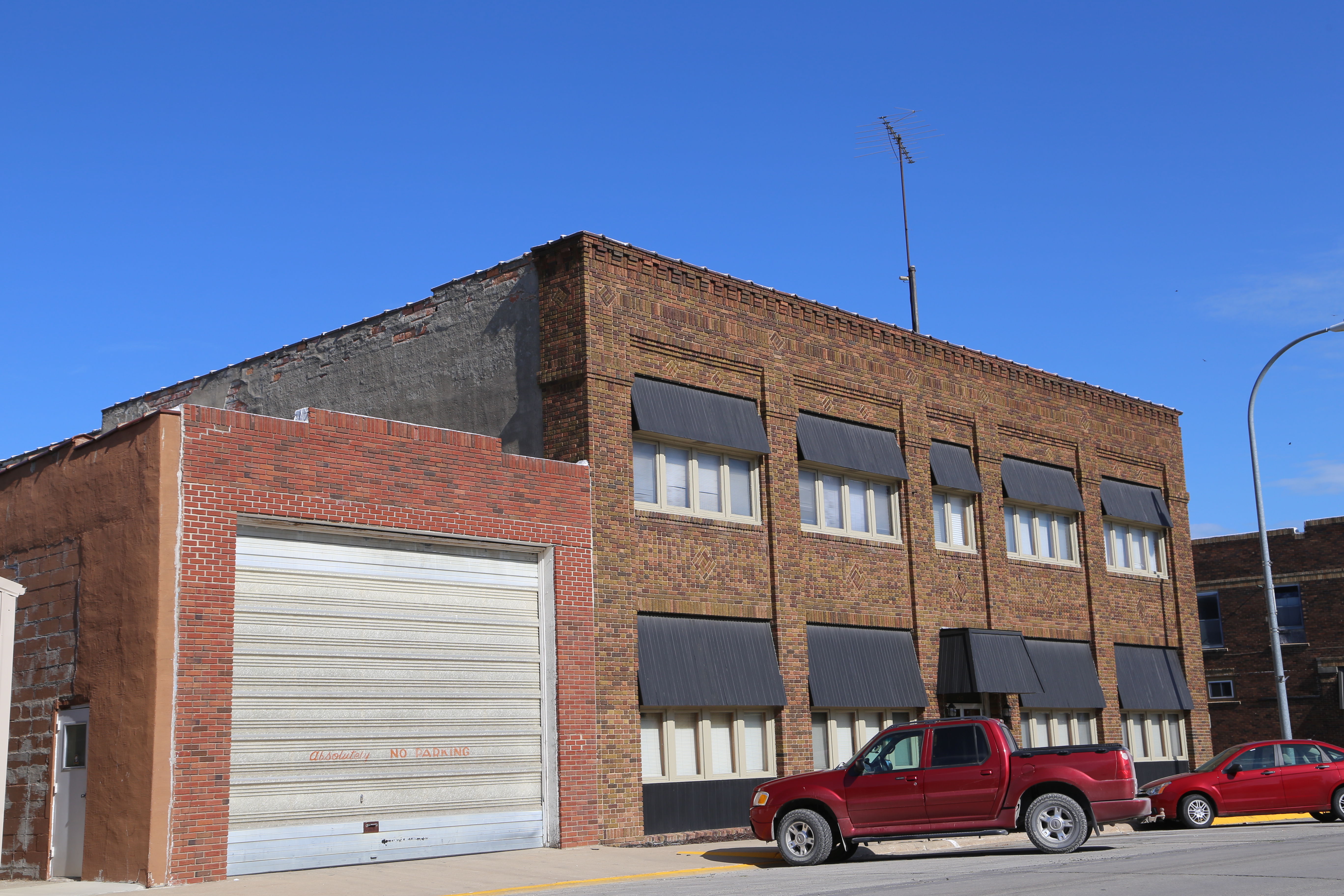
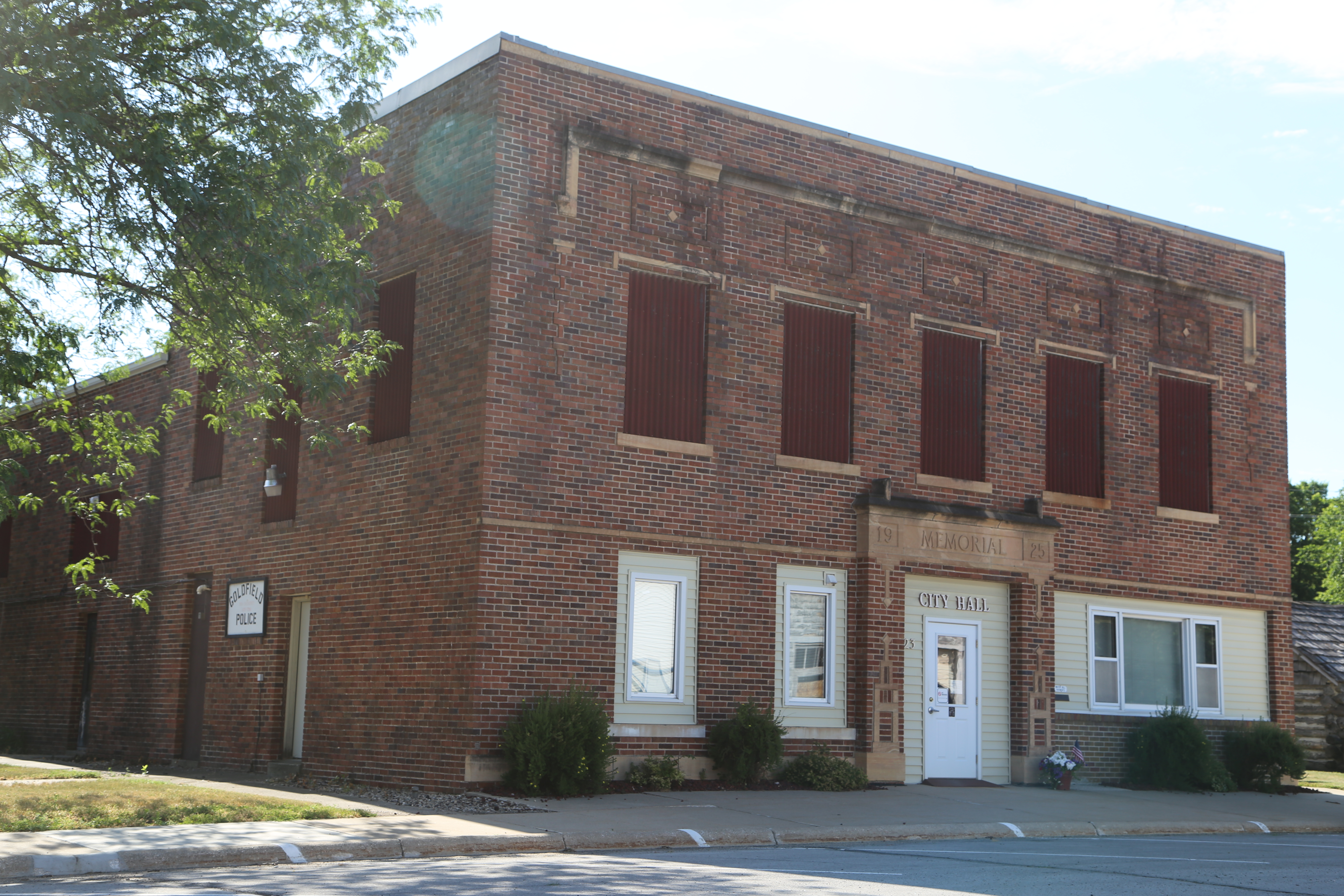
Goldfield Iowa, Wright County IA
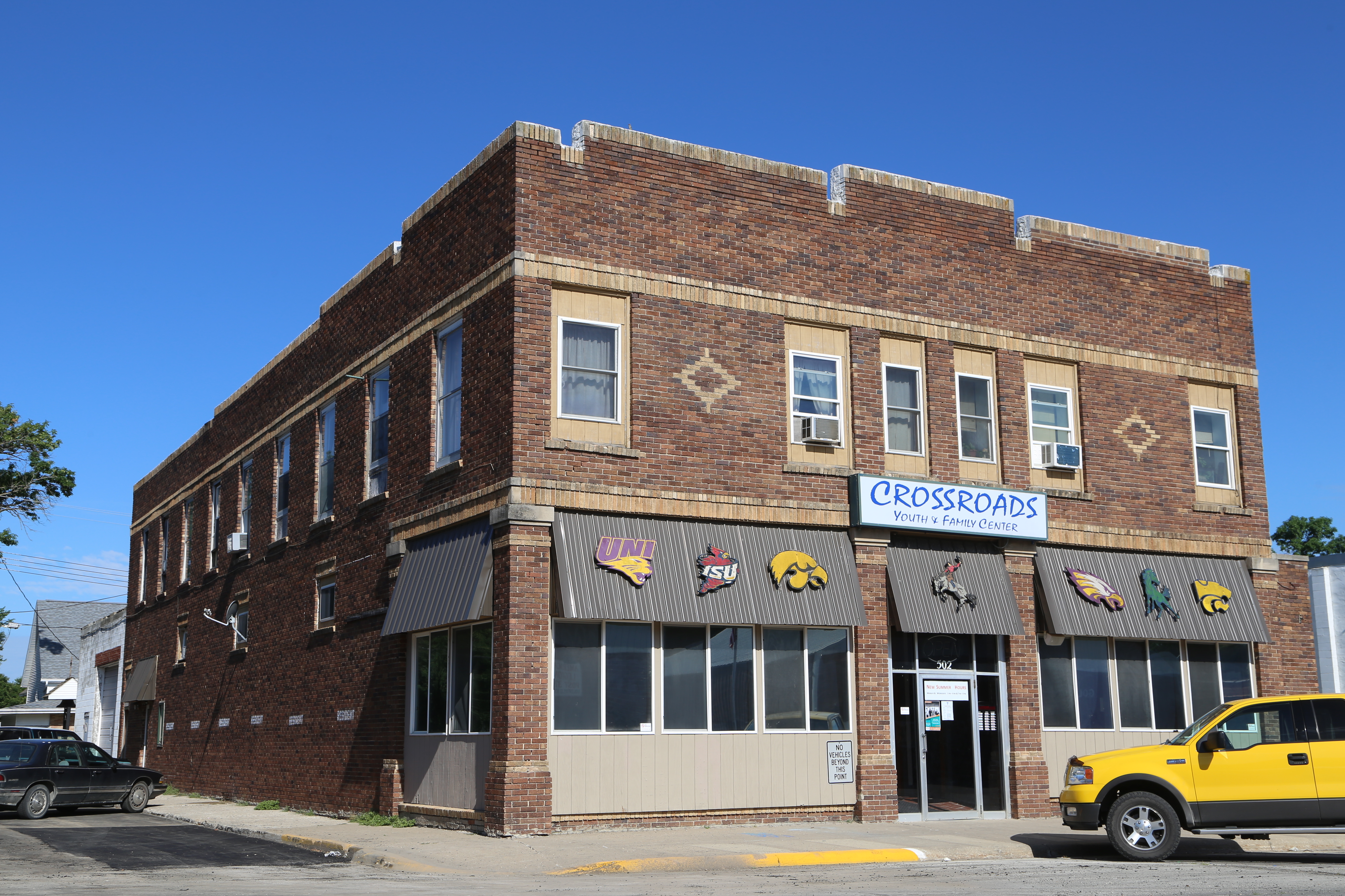
Goldfield Iowa, Wright County IA
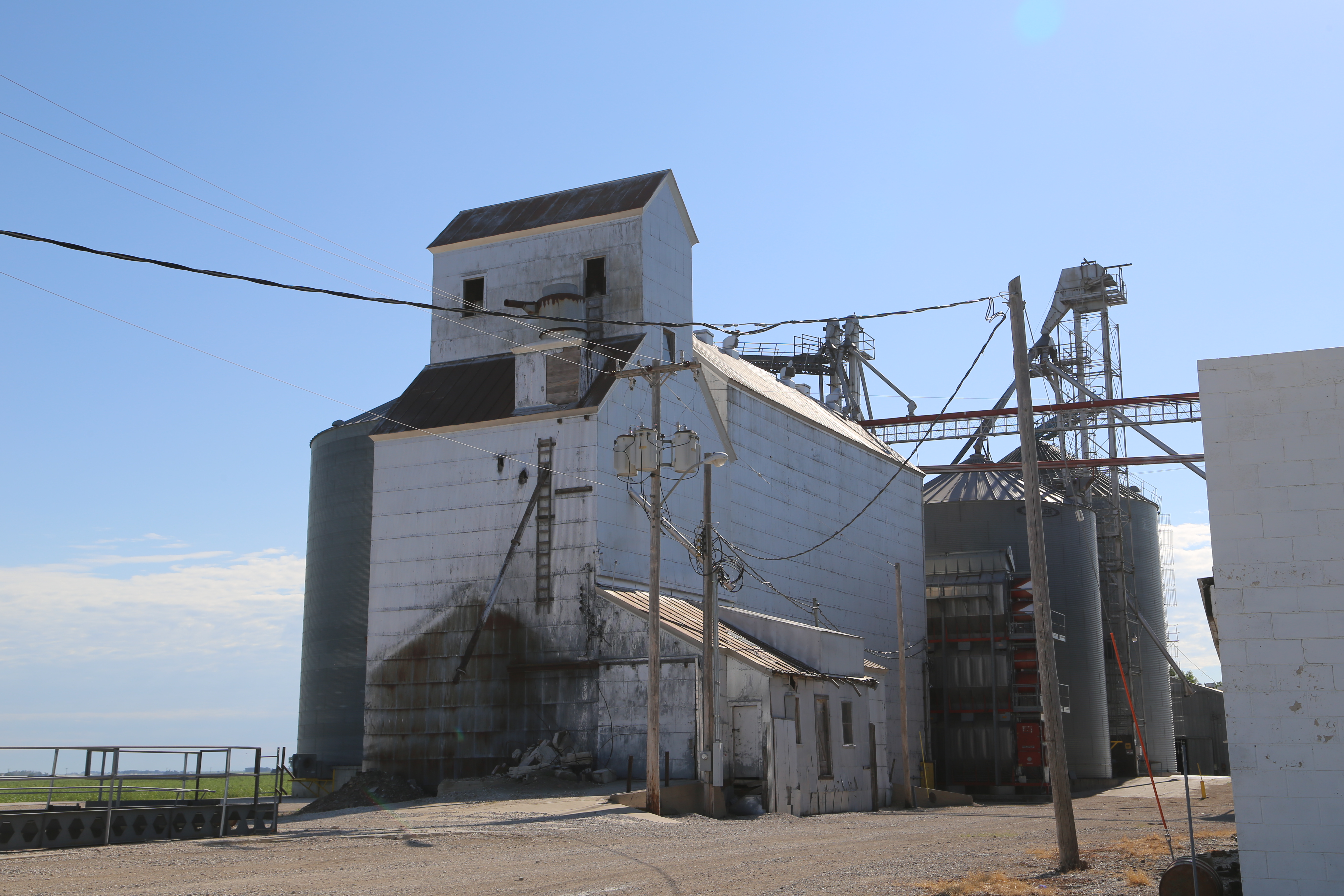
Goldfield Iowa, Wright County IA
Goldfield Iowa, Wright County IA
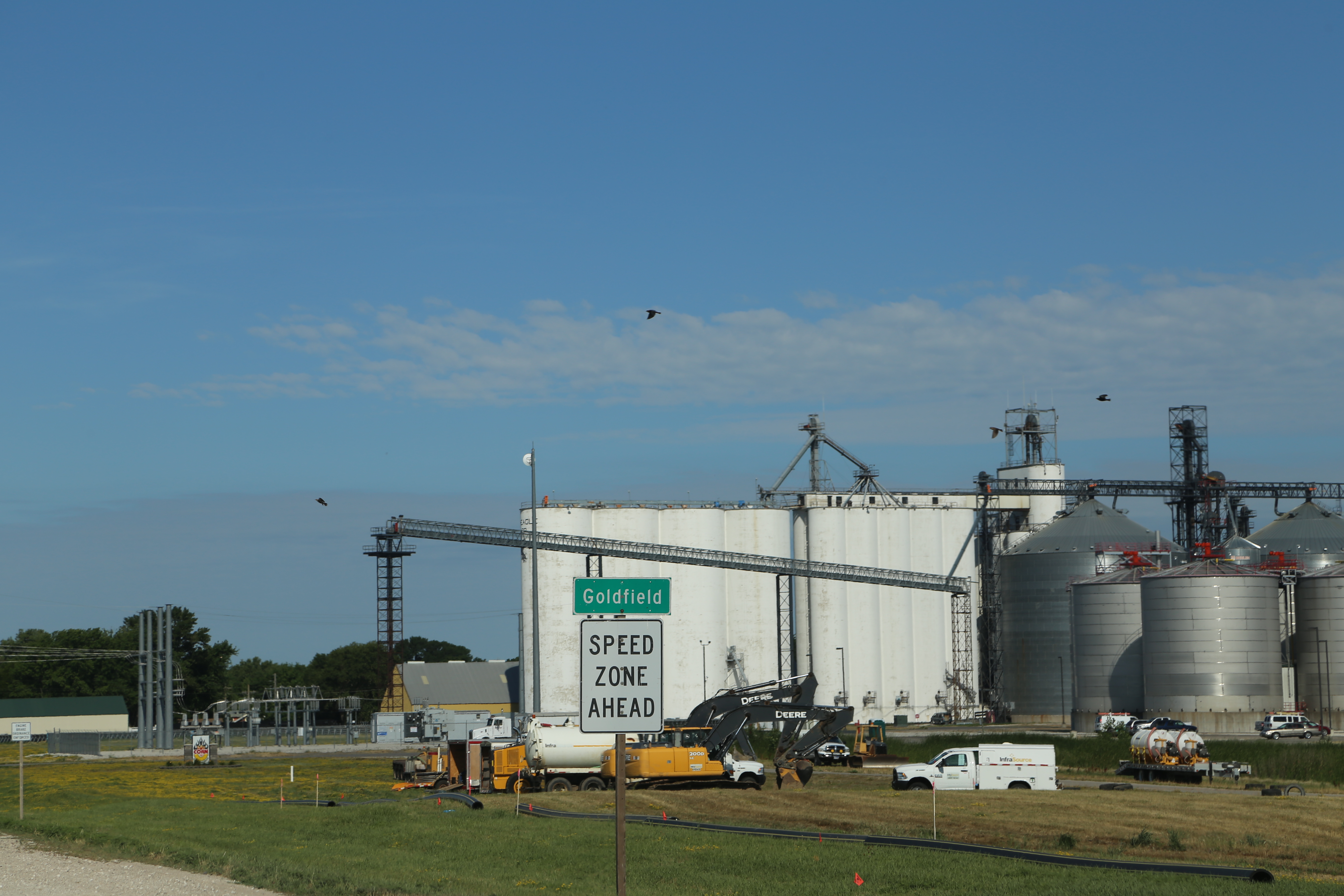
Goldfield Iowa, Wright County IA
Goldfield Iowa, Wright County IA

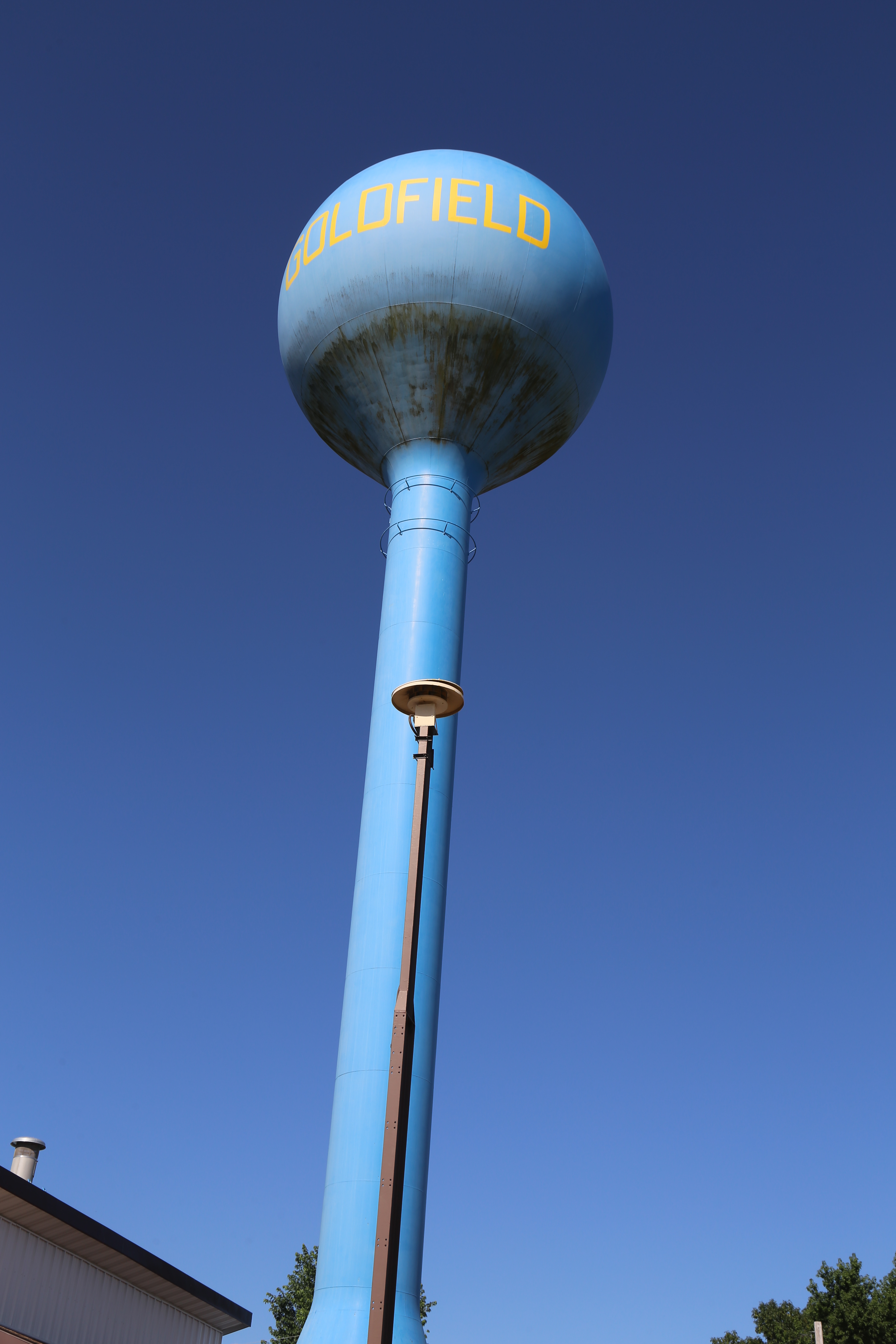
Goldfield Iowa, Wright County IA
Goldfield Iowa, Wright County IA
Goldfield Iowa, Wright County IA

Goldfield Iowa, Wright County IA

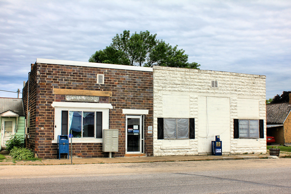
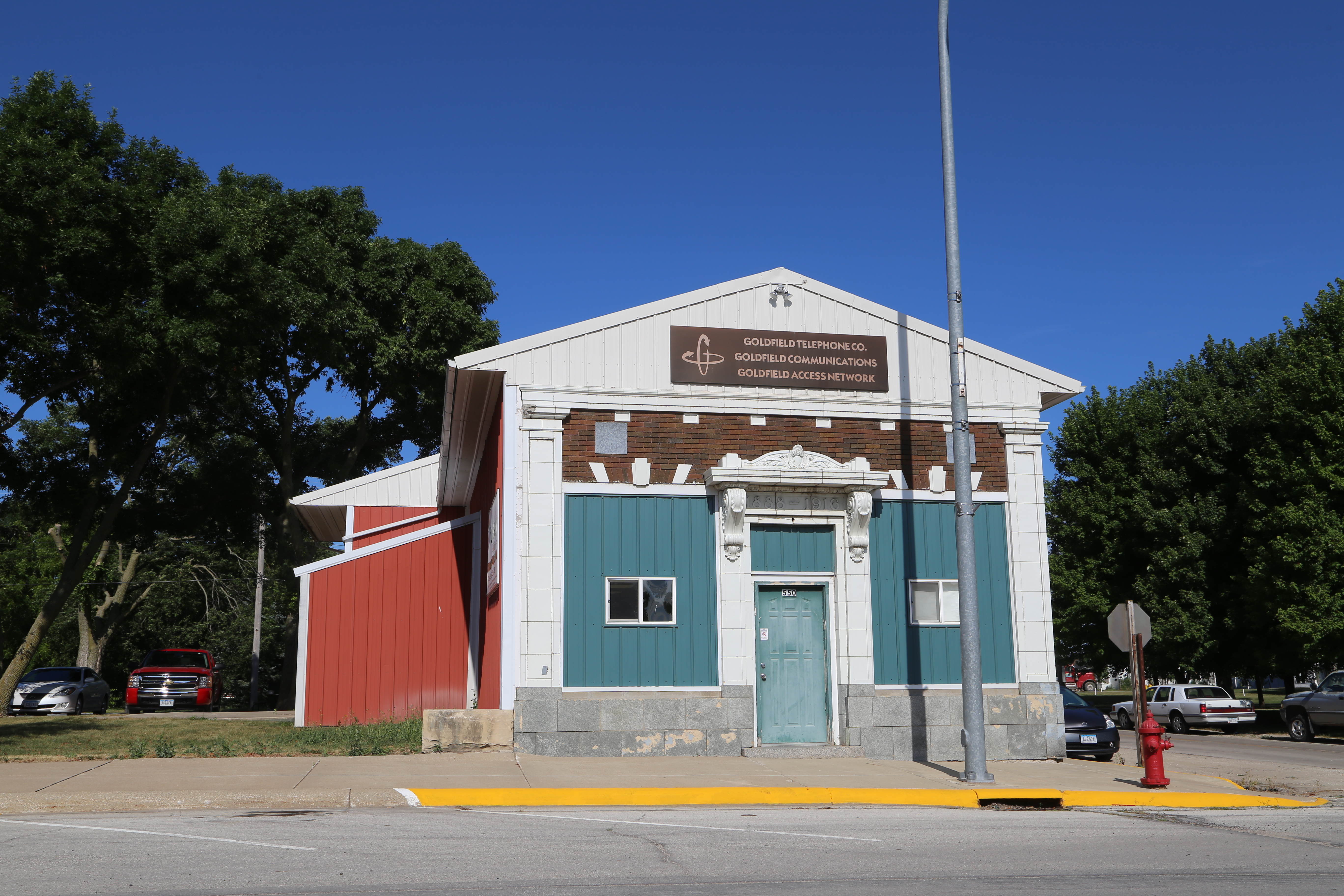
Goldfield Iowa, Post Office, 50542, Wright County IA
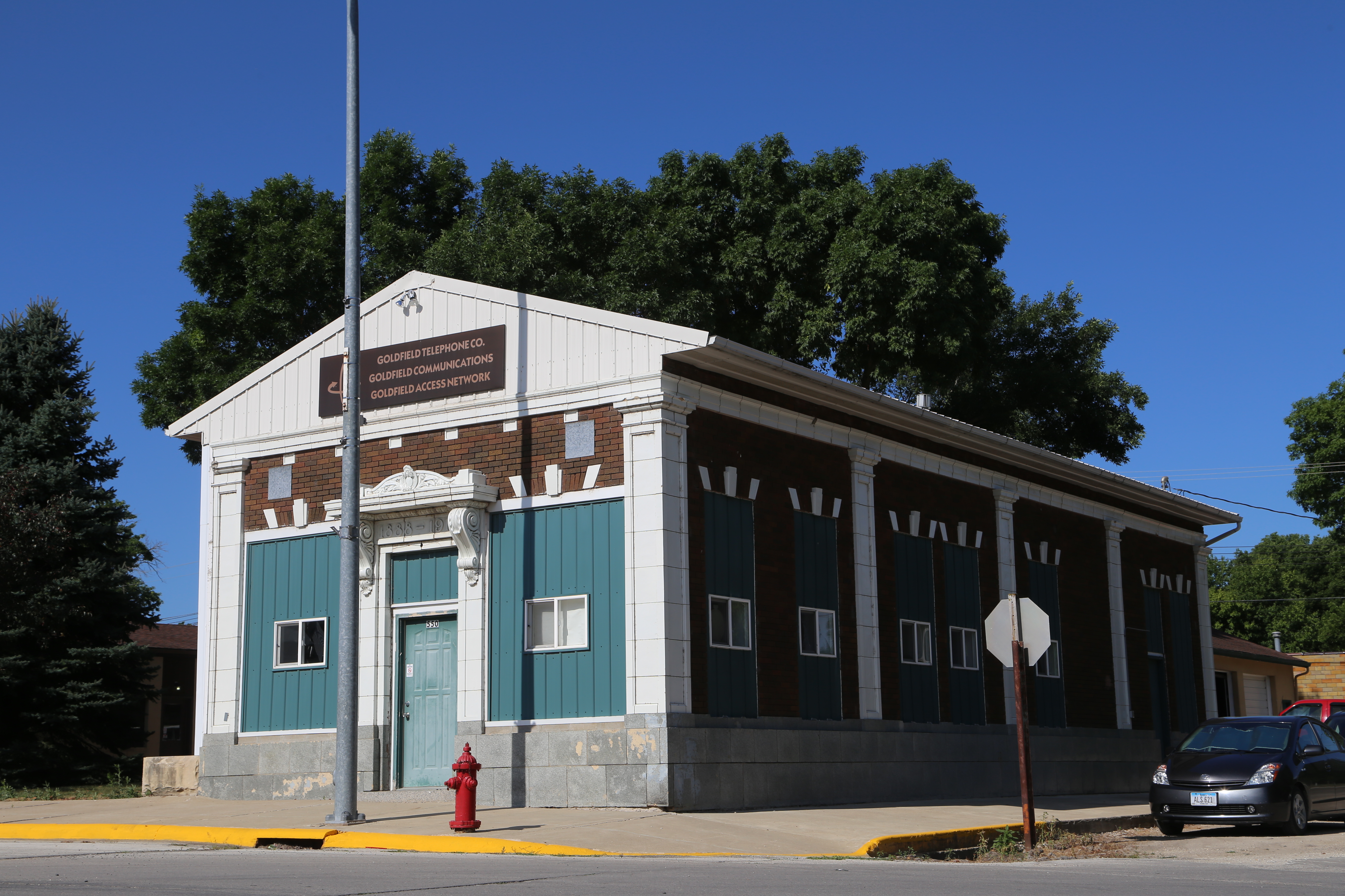
Goldfield Iowa, Wright County IA
Topographic Map of Eagle Grove, IA, USA
Find elevation by address:

Places in Eagle Grove, IA, USA:
Places near Eagle Grove, IA, USA:
N Main St, Goldfield, IA, USA
Goldfield
Eagle Grove
W Broadway St, Eagle Grove, IA, USA
Liberty
Norway
Thor
Ada St, Thor, IA, USA
Arthur St, Vincent, IA, USA
Clarion
2141 Penn Ave
1st Ave SE, Badger, IA, USA
Badger
Main St, Duncombe, IA, USA
Duncombe
1116 3rd St
Humboldt
Webster City
th St, Duncombe, IA, USA
Badger
Recent Searches:
- Elevation of Corso Fratelli Cairoli, 35, Macerata MC, Italy
- Elevation of Tallevast Rd, Sarasota, FL, USA
- Elevation of 4th St E, Sonoma, CA, USA
- Elevation of Black Hollow Rd, Pennsdale, PA, USA
- Elevation of Oakland Ave, Williamsport, PA, USA
- Elevation of Pedrógão Grande, Portugal
- Elevation of Klee Dr, Martinsburg, WV, USA
- Elevation of Via Roma, Pieranica CR, Italy
- Elevation of Tavkvetili Mountain, Georgia
- Elevation of Hartfords Bluff Cir, Mt Pleasant, SC, USA