Elevation of Eagle Creek Rd, Green Cove Springs, FL, USA
Location: United States > Florida > Clay County > Green Cove Springs >
Longitude: -81.593731
Latitude: 29.821232
Elevation: 1m / 3feet
Barometric Pressure: 101KPa
Elevation Map:
Satellite Map:
Related Photos:
Crossing the St. John's River just north of Palatka FL

Picolata (#0342)

Sunset on Saint John's River

Long Term Parking

Florida - St. Augustine - Mission - December 1970

State Road 207 1

Riverdale (#0347)

Sunset on the St John's River

To Federal Point

Sunset, St. Johns River

tranquil moment

Corn for days and daze. #igersjax #sykesfarm #cornmaze #nofilter

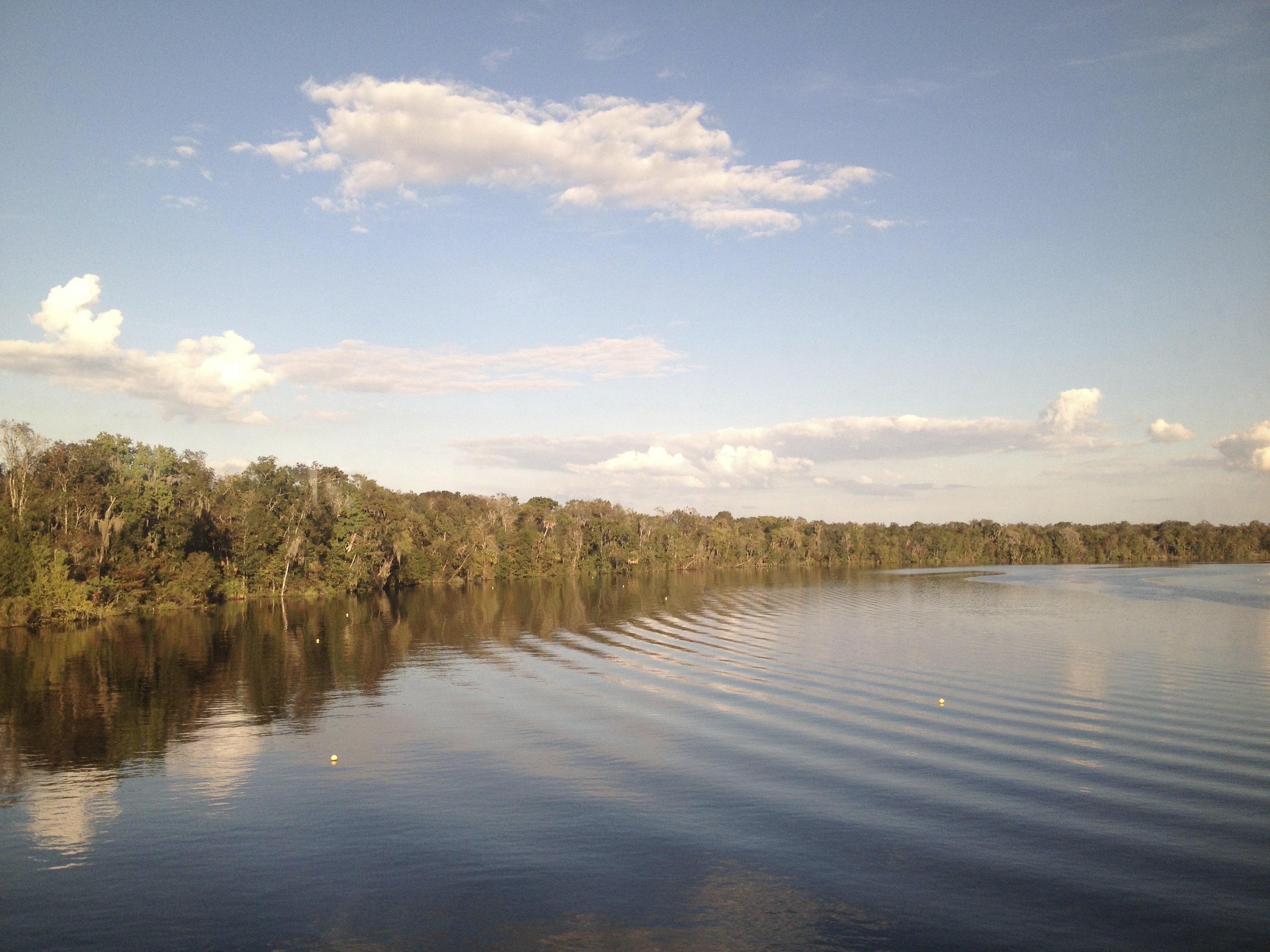
St Johns River
Topographic Map of Eagle Creek Rd, Green Cove Springs, FL, USA
Find elevation by address:

Places near Eagle Creek Rd, Green Cove Springs, FL, USA:
218 Eagle Creek Rd
218 Eagle Creek Rd
218 Eagle Creek Rd
146 Pioneer Trail
102 Creek Ln
109 Lenda Ln
160 Monterey Bay Ln
Decoy Road
County Rd S, Green Cove Springs, FL, USA
149 Cedar Creek Cutoff Rd
230 Cedar Creek Rd
169 Bostwick Cemetery Rd
5777 County Rd 209 S
130 Cedar Creek Rd
105 Se 2nd Ave
104 Sheperd Trail
US-17, Palatka, FL, USA
Songbird Road
2915 Co Rd 214
191 Johns Rd
Recent Searches:
- Elevation of Corso Fratelli Cairoli, 35, Macerata MC, Italy
- Elevation of Tallevast Rd, Sarasota, FL, USA
- Elevation of 4th St E, Sonoma, CA, USA
- Elevation of Black Hollow Rd, Pennsdale, PA, USA
- Elevation of Oakland Ave, Williamsport, PA, USA
- Elevation of Pedrógão Grande, Portugal
- Elevation of Klee Dr, Martinsburg, WV, USA
- Elevation of Via Roma, Pieranica CR, Italy
- Elevation of Tavkvetili Mountain, Georgia
- Elevation of Hartfords Bluff Cir, Mt Pleasant, SC, USA