Elevation of E Thornton Ave, Gilbert, AZ, USA
Location: United States > Arizona > Maricopa County > Gilbert > Coronado Ranch >
Longitude: -111.71392
Latitude: 33.2641289
Elevation: 403m / 1322feet
Barometric Pressure: 97KPa
Elevation Map:
Satellite Map:
Related Photos:

Chandler Arizona
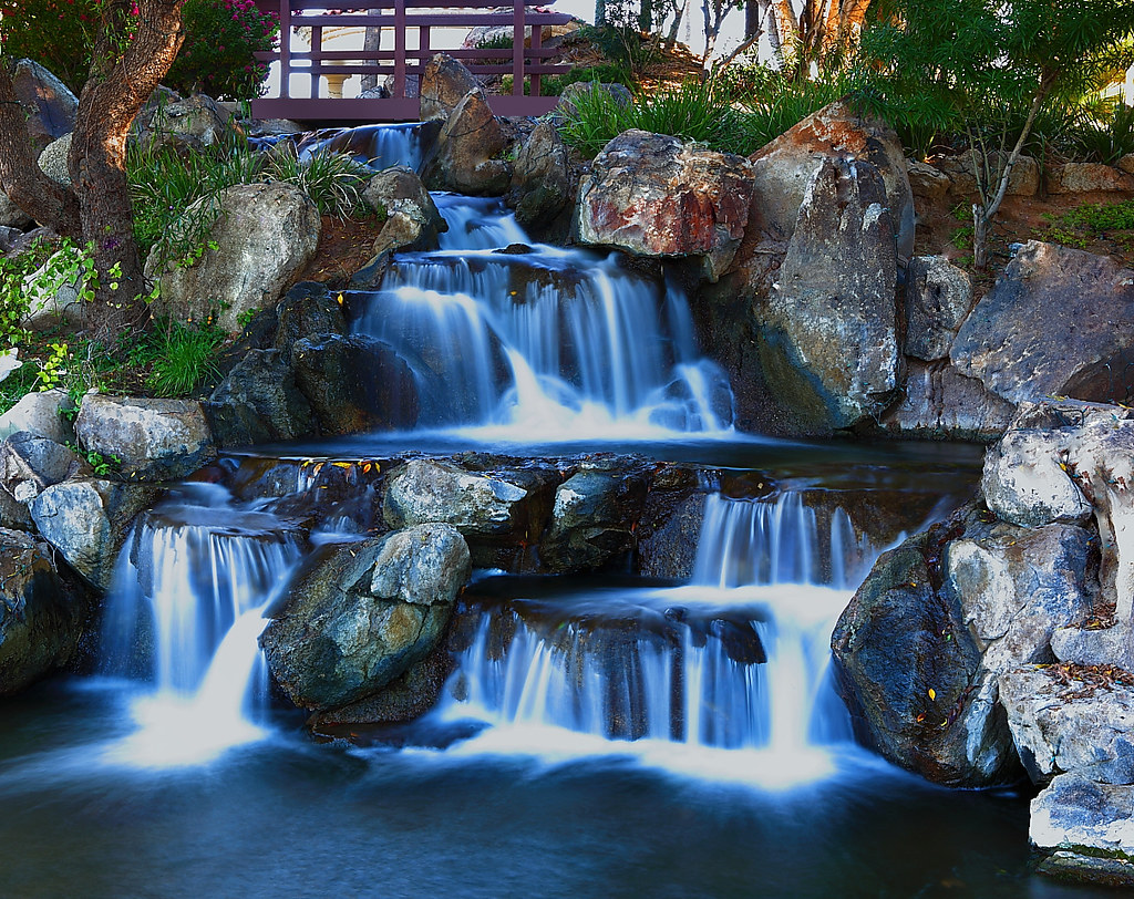
Val Vista Lakes Falls
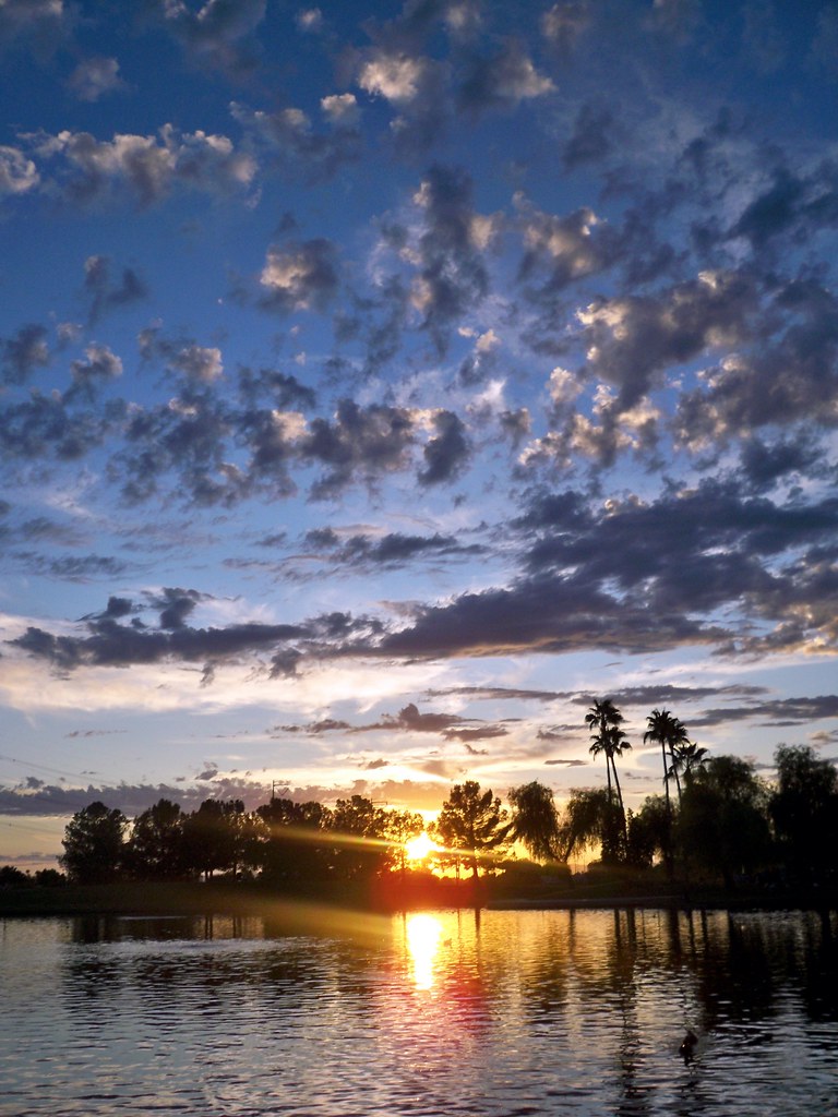
Freestone Park sunset
Fall Color at the Riparian Preserve

Good morning from Mesa AZ! #CoffeeKen #5k #running #visitmesa #skylust #sunrise #mountainquest #AZ365
#beautiful #sunset for my #birthday in #gilbert #az

Fire & Water
Abstract Blend

Golden Grackles 3 Photos

Burrowing Owl

San Tan trail #CoffeeKen #arizonahighways #AZC365 #trailriding #outdoors #CallistoMorgans

Veterans Oasis Memorial Park, Chandler Az.
The Malipus Mountain. #CoffeeKen #CallistoMorgans #desert #az365 #arizonahighways #azcentral #arizona #greatoutdoors #wildernessquest #mountains #mountainquest #morganhorses #nature

Veterans Oasis Memorial Park, Chandler Az.

Lake front property in Arizona
Riding up to the butte. A old volcano core. #CoffeeKen #CallistoMorgans #horses #greatoutdoors #outdoors #arizona #arizonahighways #mountains #morganhorses
Sunbeams at the Park
Land scape along the trail. #CoffeeKen #trails #hiking #outdoors #arizonahighways#azcentral #visitmesa

Loaded down!

Hey look! Another horrible wall of dust is coming our way!

Here Comes the Sun Doodumdoodoo
Topographic Map of E Thornton Ave, Gilbert, AZ, USA
Find elevation by address:

Places near E Thornton Ave, Gilbert, AZ, USA:
Coronado Ranch
4191 E Donato Dr
Power Ranch
4474 E Marshall Ave
Trilogy
4459 E Cloudburst Ct
4568 E Rakestraw Ln
3015 E Blue Ridge Way
Shamrock Estates
Seville
Brooks Farms
3842 E Alameda Ln
23517 S 182nd St
4566 E Meadowview Dr
5539 E Cedar Waxwing Dr
2522 E Hampton Ln
E Germann Rd, Queen Creek, AZ, USA
2555 S Market St
Ranchos Jardines
E Chandler Heights Rd, Queen Creek, AZ, USA
Recent Searches:
- Elevation of Corso Fratelli Cairoli, 35, Macerata MC, Italy
- Elevation of Tallevast Rd, Sarasota, FL, USA
- Elevation of 4th St E, Sonoma, CA, USA
- Elevation of Black Hollow Rd, Pennsdale, PA, USA
- Elevation of Oakland Ave, Williamsport, PA, USA
- Elevation of Pedrógão Grande, Portugal
- Elevation of Klee Dr, Martinsburg, WV, USA
- Elevation of Via Roma, Pieranica CR, Italy
- Elevation of Tavkvetili Mountain, Georgia
- Elevation of Hartfords Bluff Cir, Mt Pleasant, SC, USA