Elevation of E th St, Carbondale, KS, USA
Location: United States > Kansas > Osage County >
Longitude: -95.586251
Latitude: 38.832949
Elevation: 319m / 1047feet
Barometric Pressure: 98KPa
Elevation Map:
Satellite Map:
Related Photos:

EC-121 Electronic Countermeasures plane

F-4 Phantom Shot
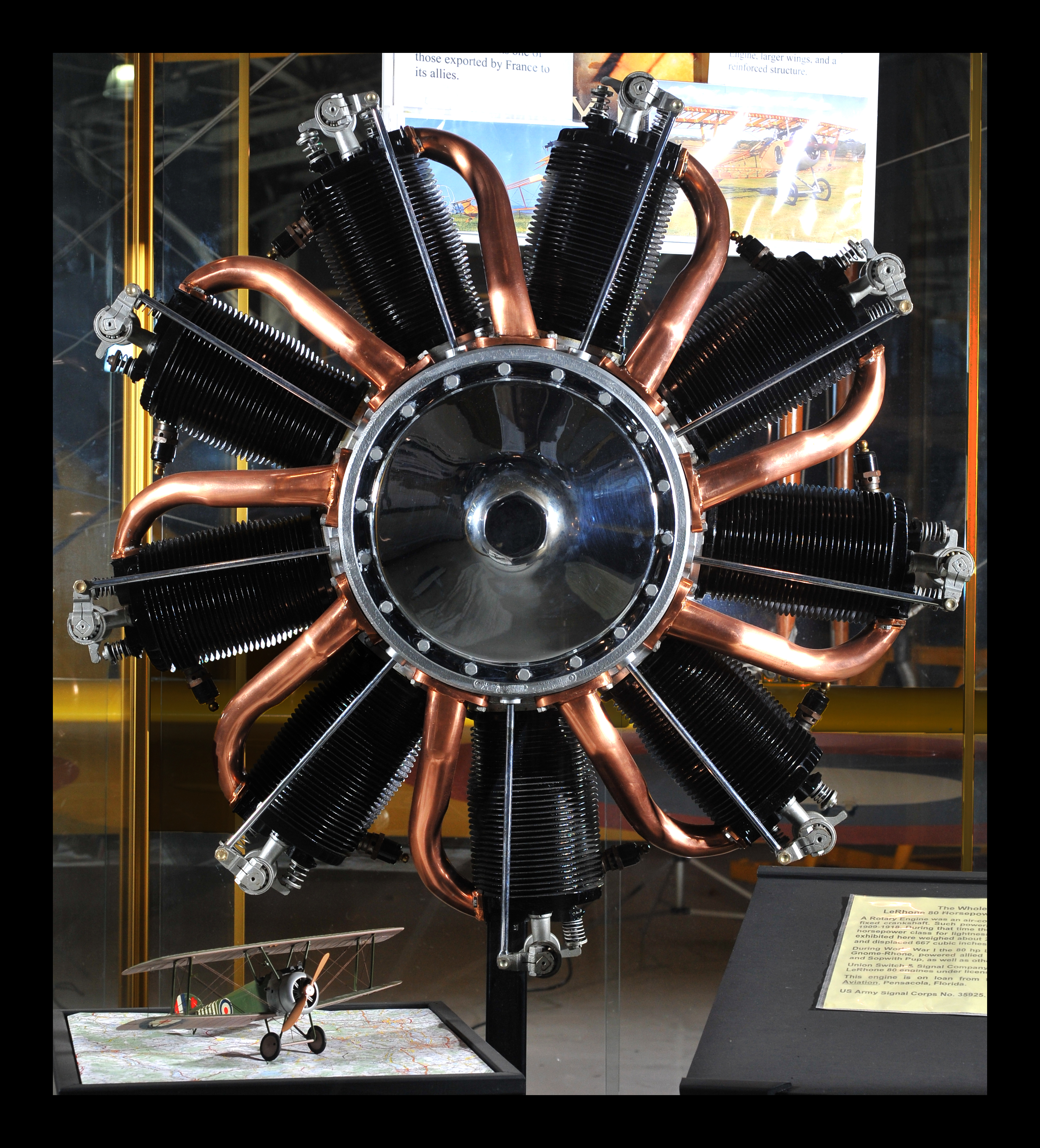
Beauty from the Past...WW I Rotary Le Rhone

The Control Tower...or "Island", of the Oriskany Carrier

Removing the protective frame...

Life Boat Racks

Ladder and Pole (Pladder?) Setup

Our view from the stands
Spring view
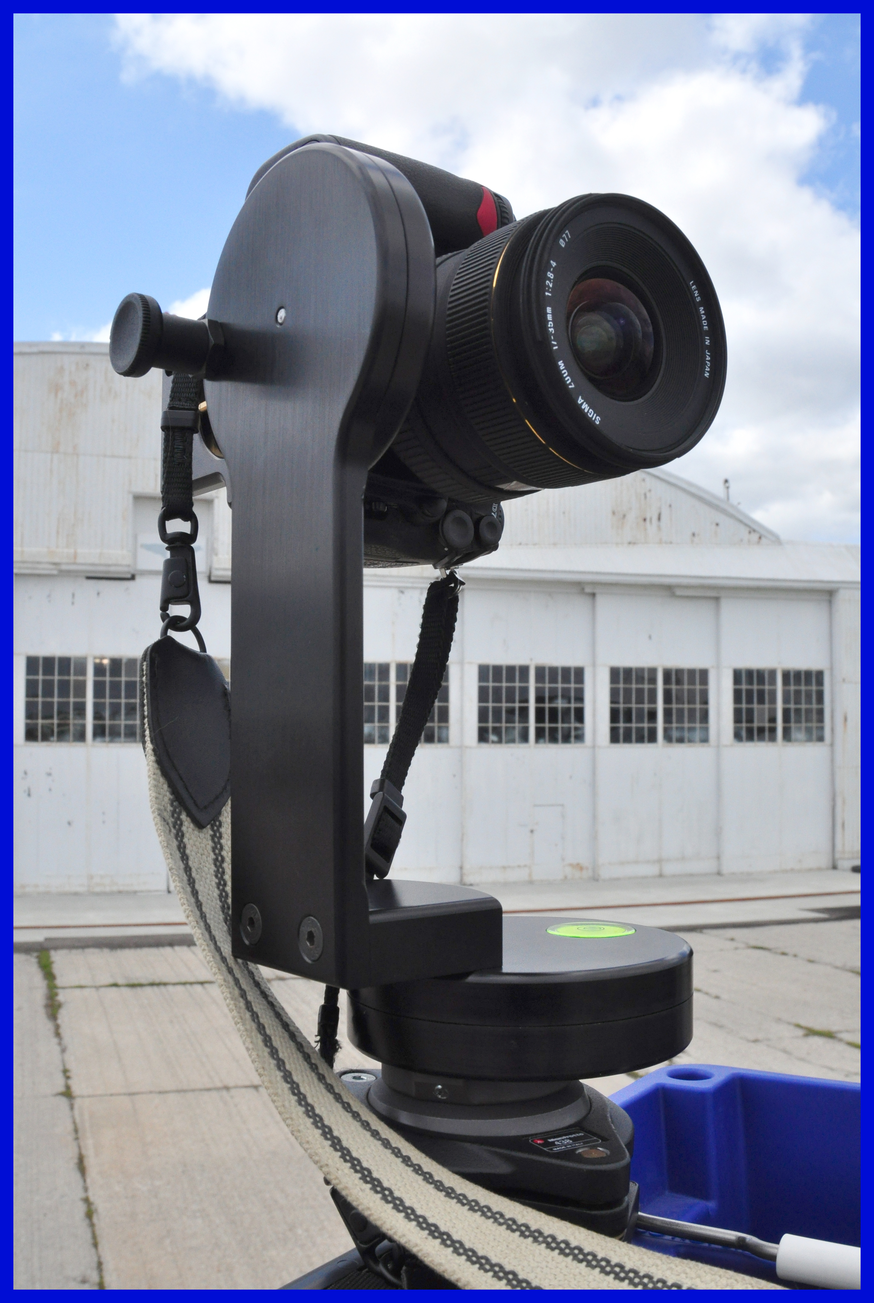
Another view of the Pano Setup..

MiG-21PF Combat Air Museum Topeka Kansas

Lumberjack/Goalie

View of Heartland Park
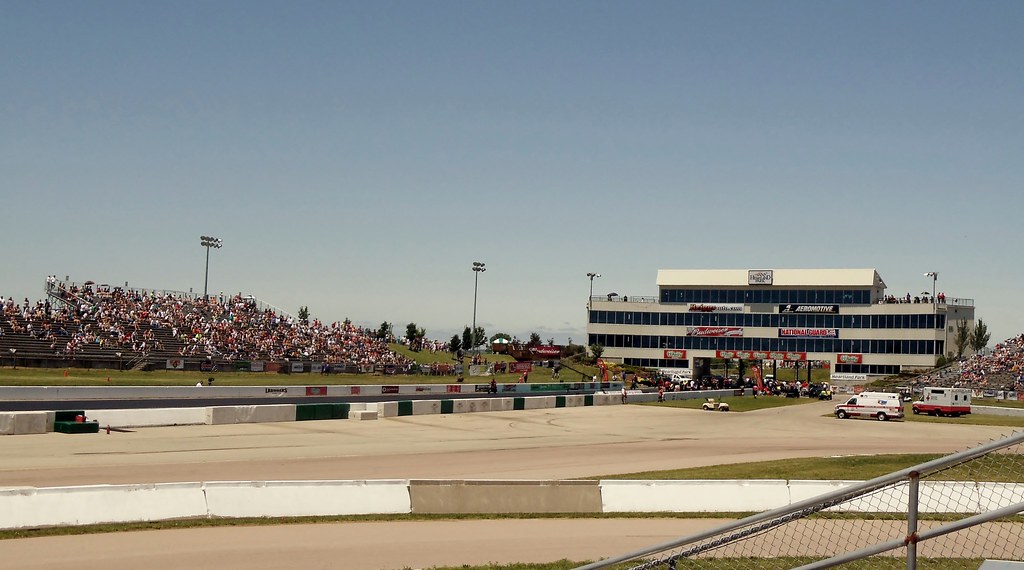
The view from the stands of the starting line.

B-17 in Topeka, cockpit, 21 Nov 2015
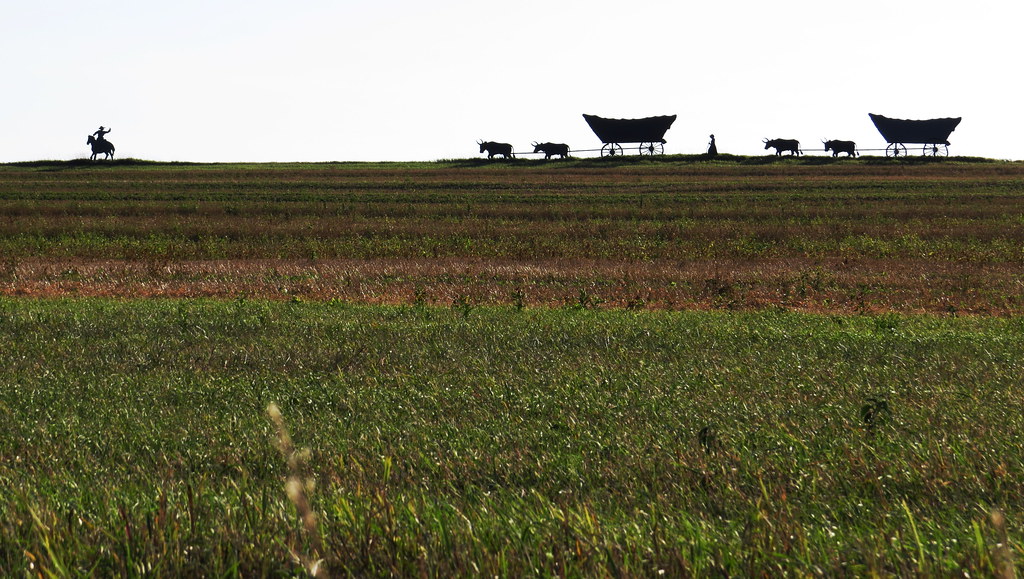
Overbrook, Kansas

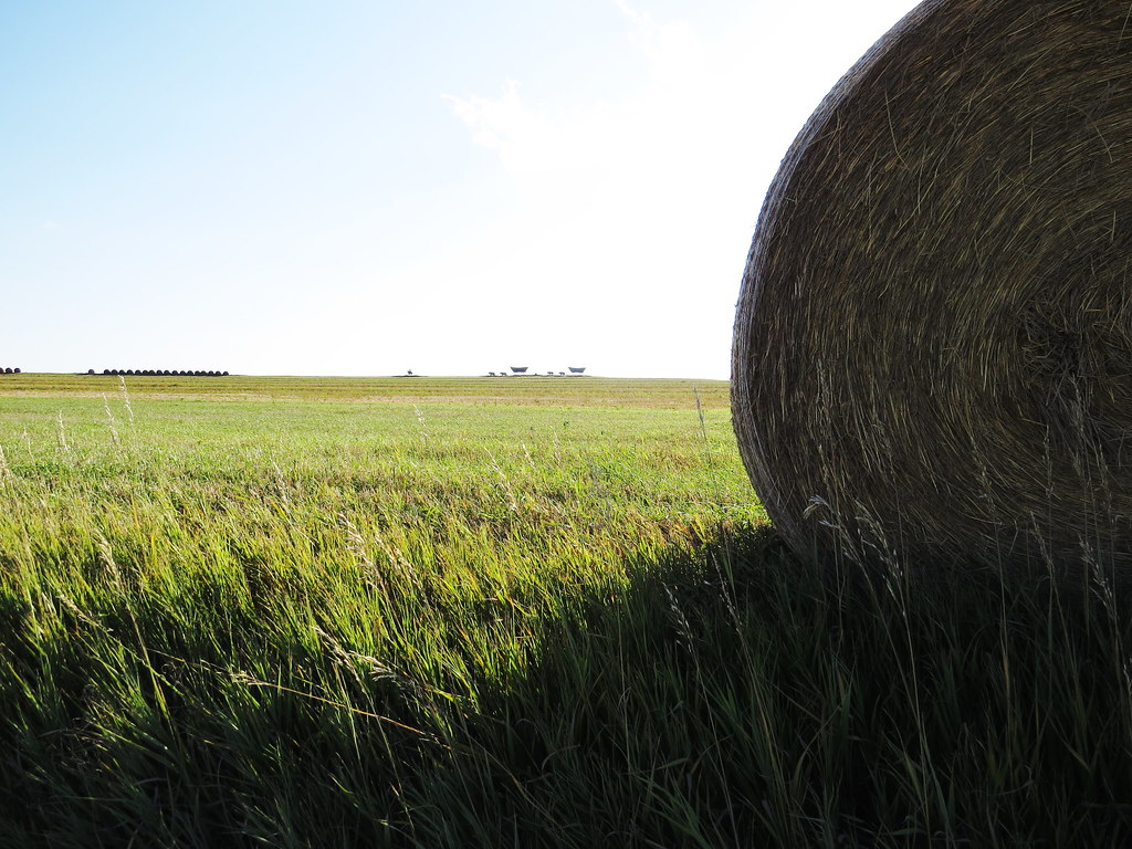
2013 Wheatfield - Berryton, KS

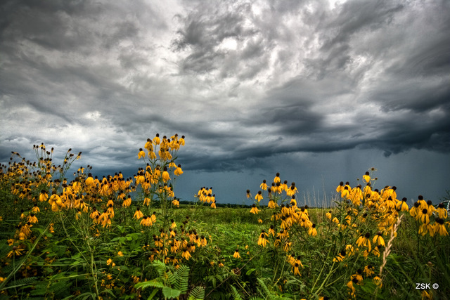
Montara Wild Flowers 076
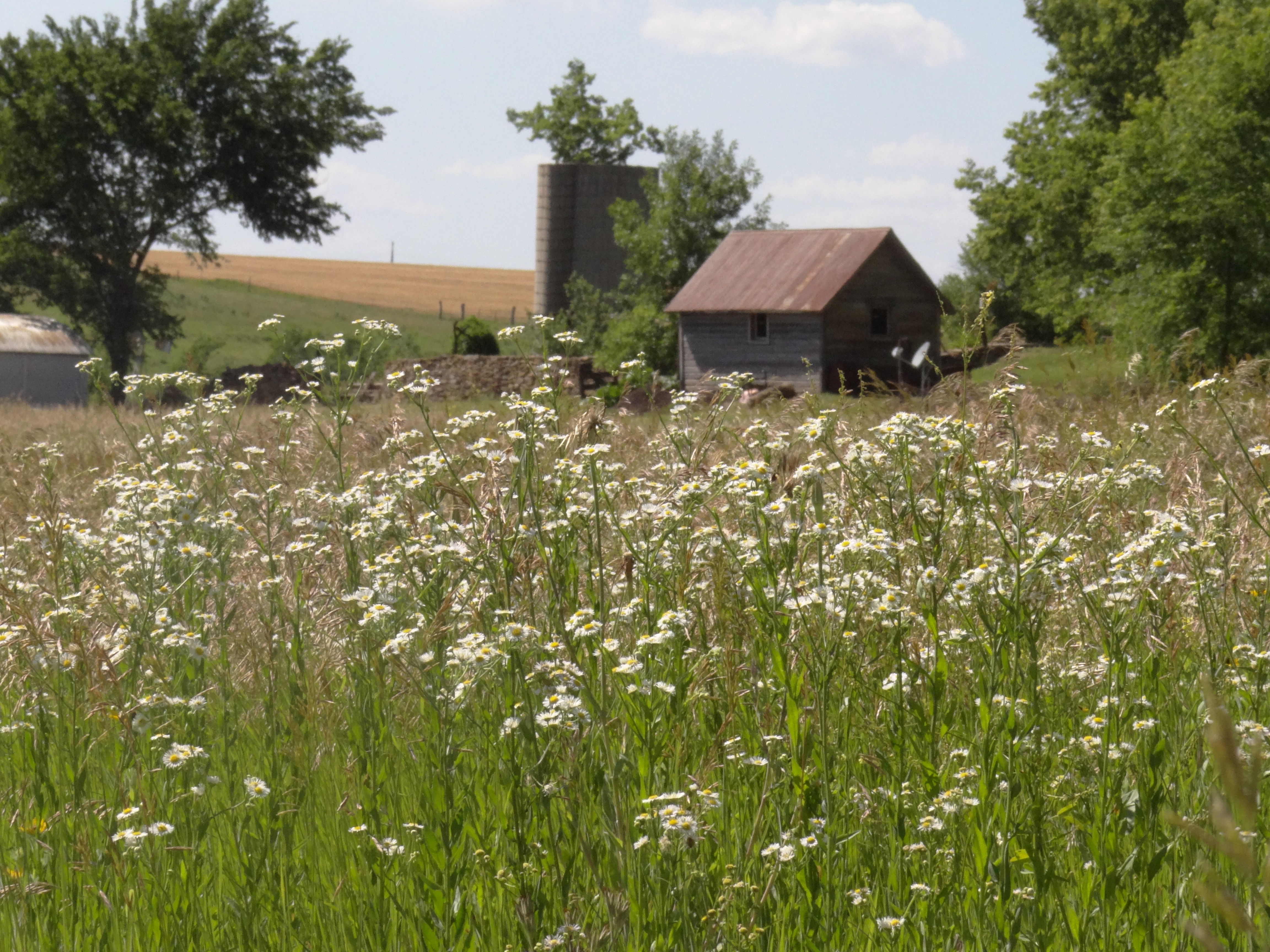
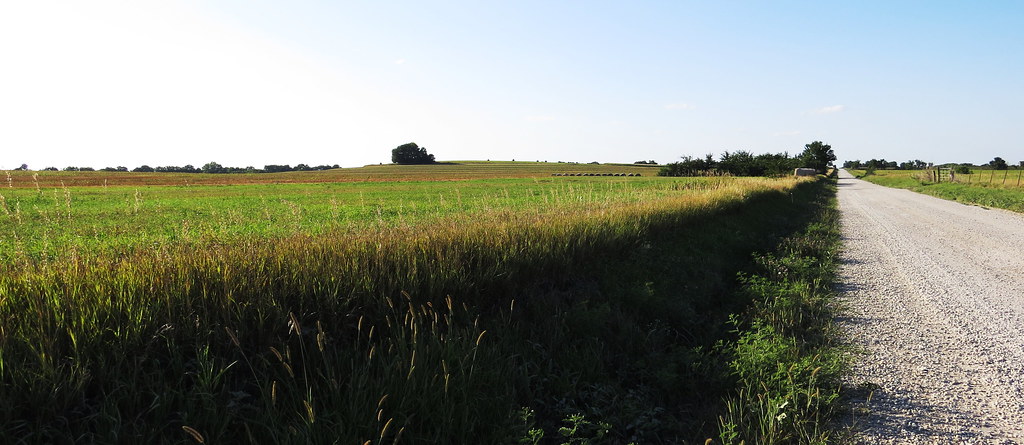
Overbrook, Kansas
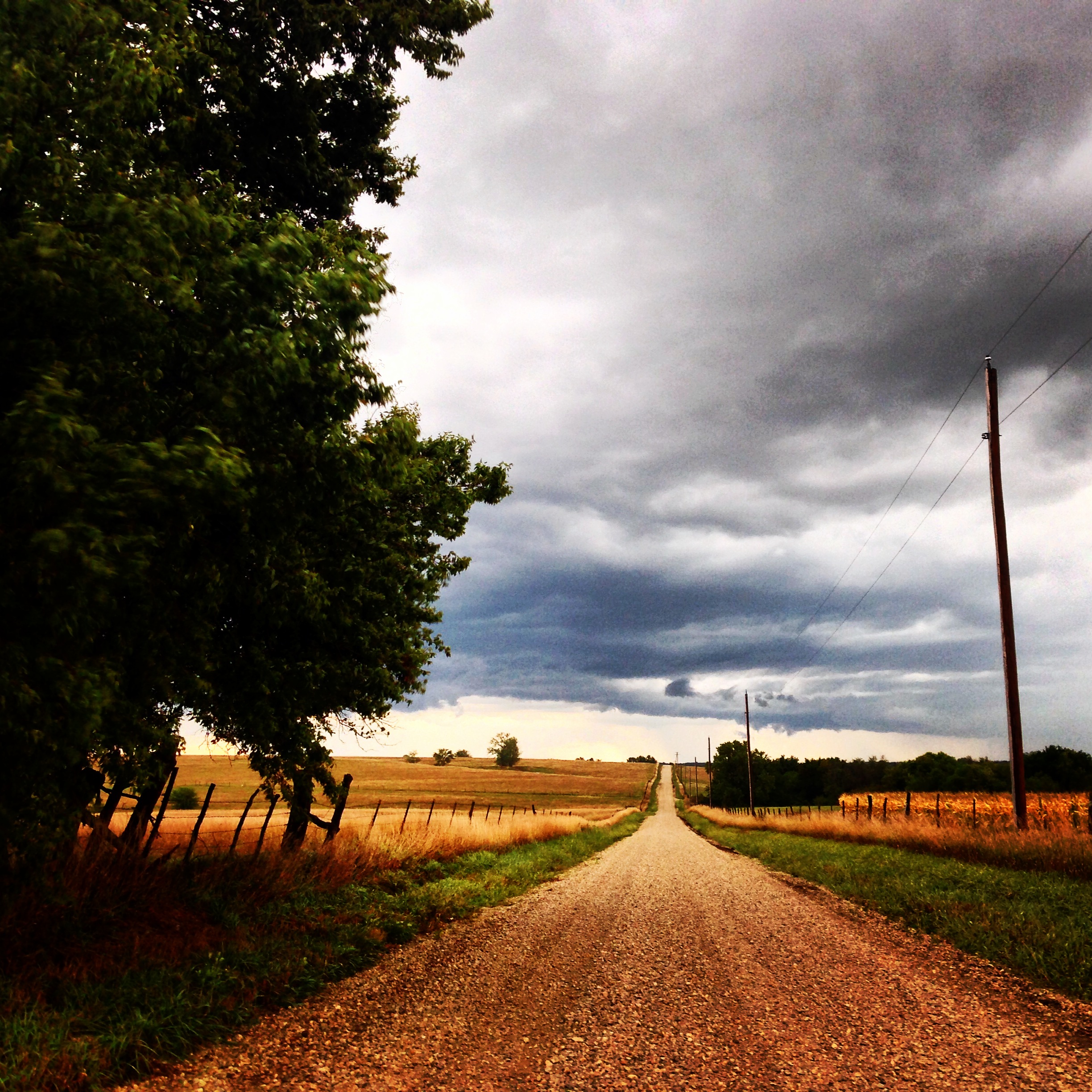
Storm Rolling In... II

2013 Wheatfield - Berryton, KS
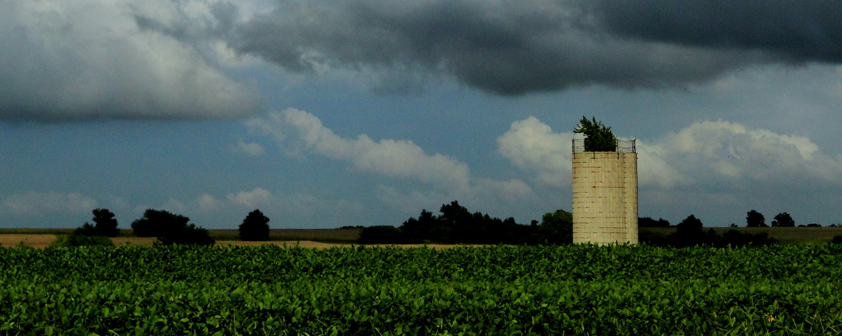
Silo with tree under storm clouds
Overbrook, Kansas

Sunset 12-14-2006

Fox with a Mouth Full of Rodent
Random Drive
Overbrook, Kansas

IMG_6977.JPG

Nature's Brush Strokes...
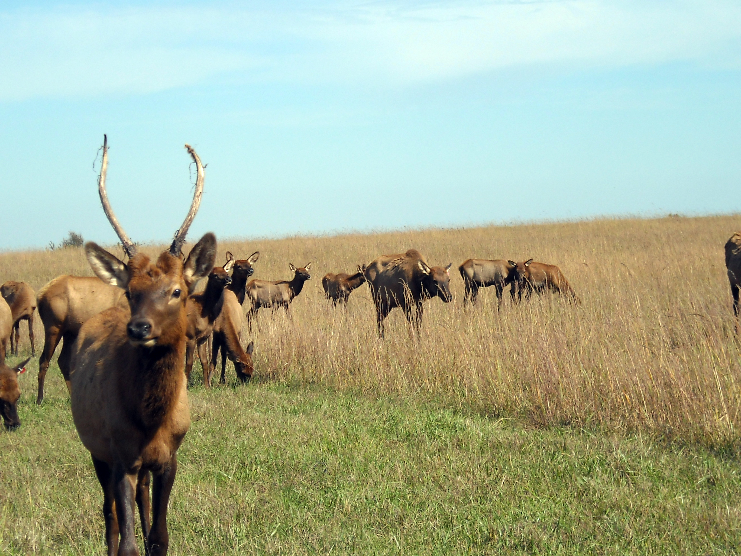
Elk - 10 October 2008
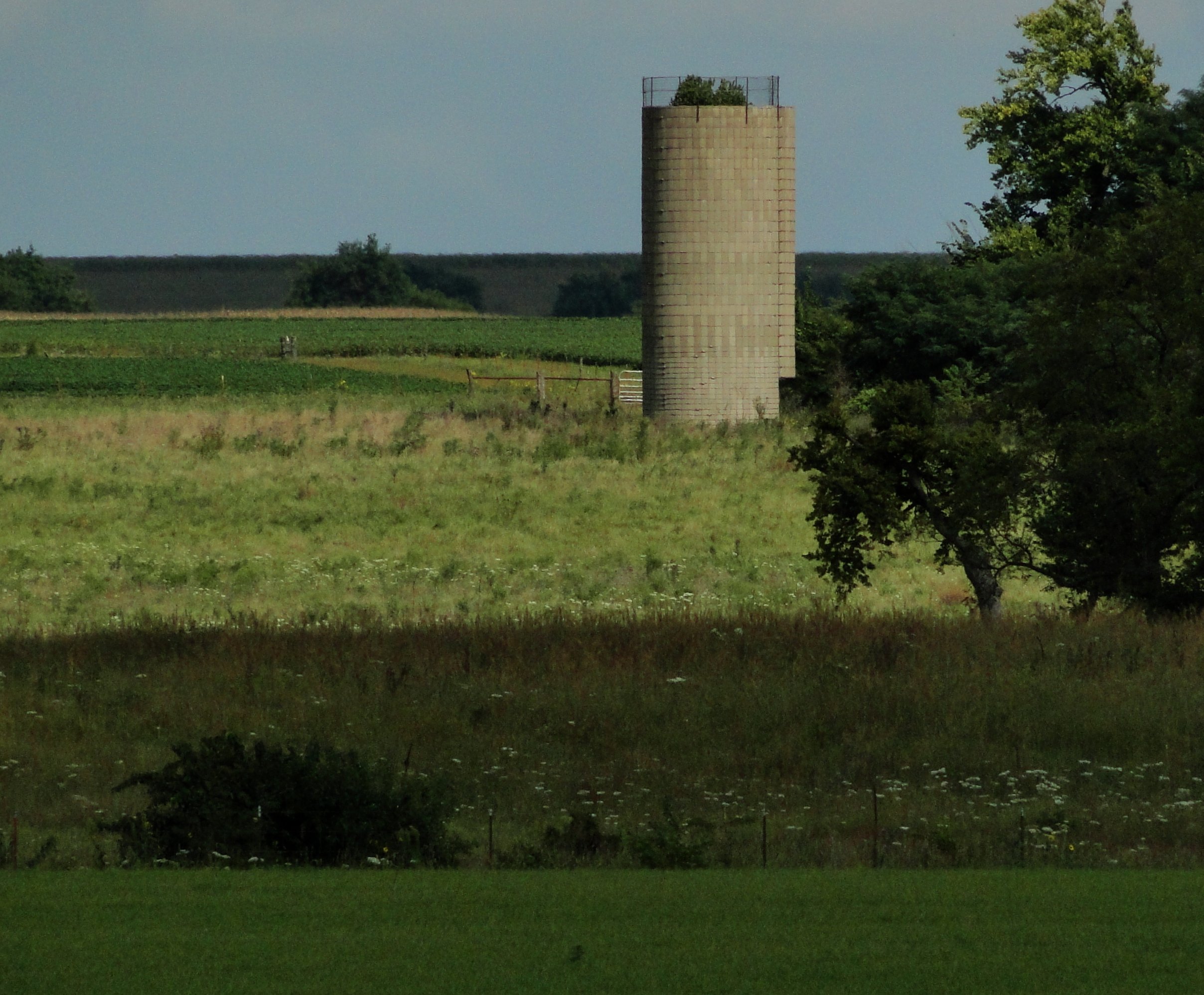
Silo with tree
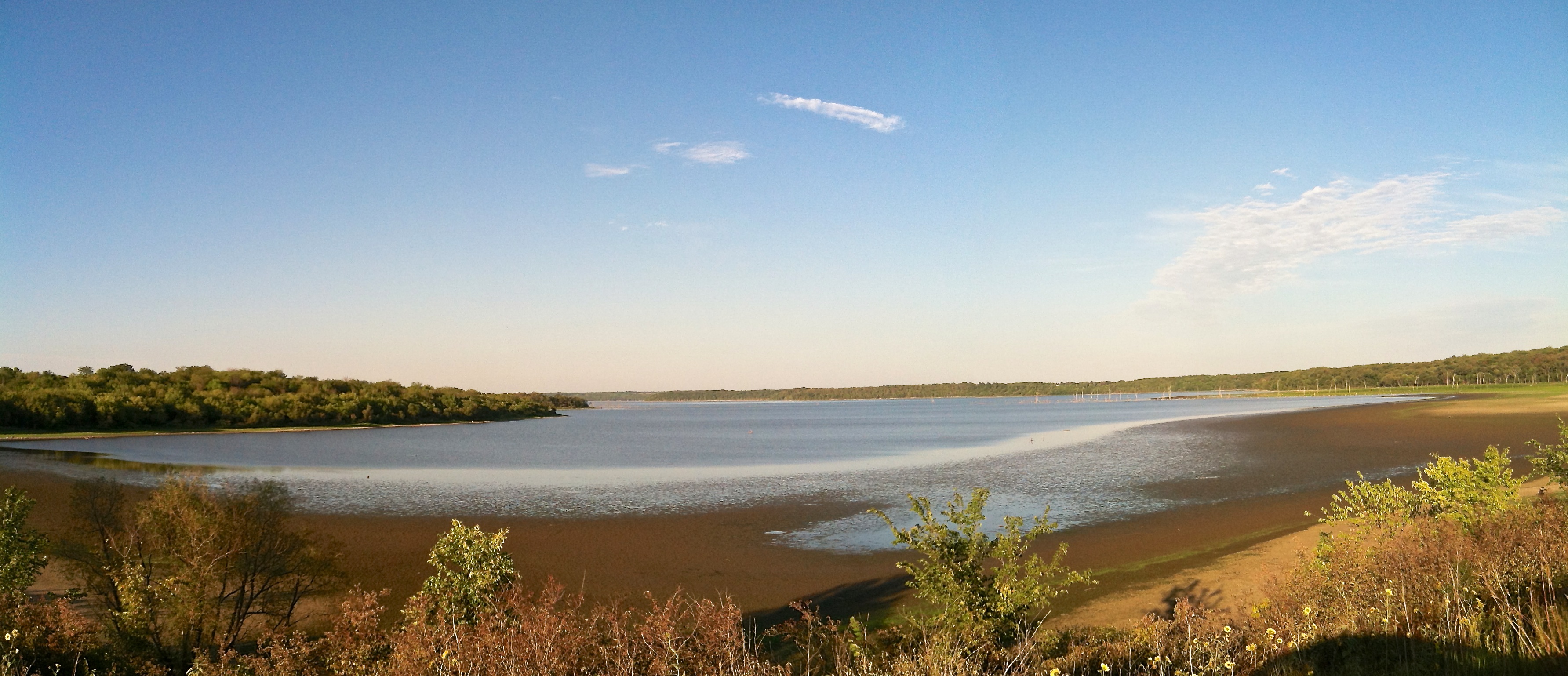
Clinton Lake--Wakarusa Causeway

Elk - 10 October 2008
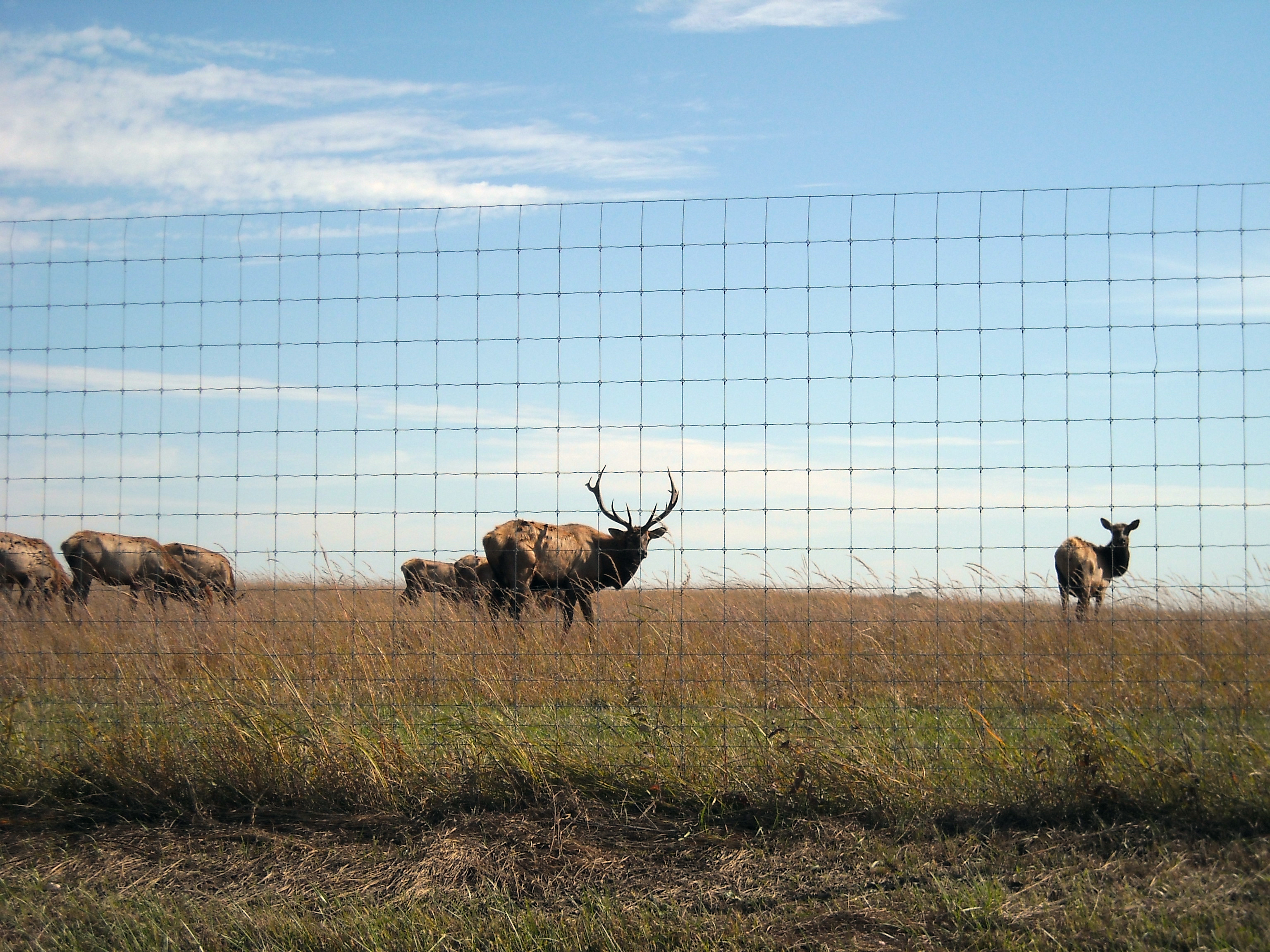
Elk - 10 October 2008

IMG_6742.JPG
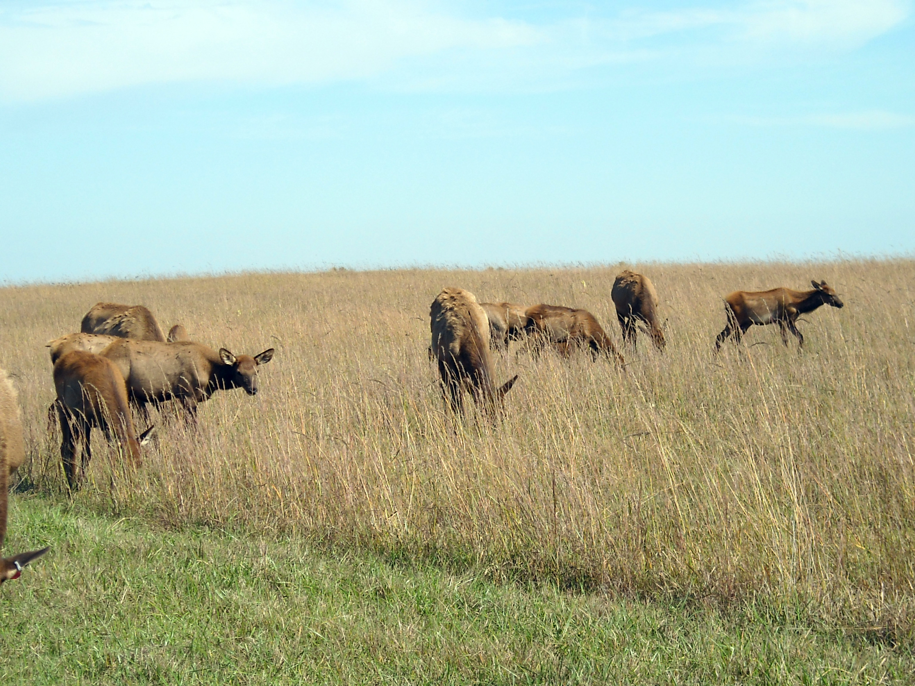
Elk - 10 October 2008
Topographic Map of E th St, Carbondale, KS, USA
Find elevation by address:

Places near E th St, Carbondale, KS, USA:
Overbrook
Elk
Monmouth
7935 Se Paulen Rd
3492 E 189th St
8 N 1150 Rd
Marion
SE 44th St, Tecumseh, KS, USA
E th St, Quenemo, KS, USA
Junction
3520 Se Tomahawk Ct
2688 Neill Pkwy
3836 Se 30th Park
7021 Se 29th St
N Rd, Lecompton, KS, USA
2423 Se Cuvier Dr
2423 Se Cuvier Dr
Tecumseh
2040 Se Croco Rd
90 US-40, Lecompton, KS, USA
Recent Searches:
- Elevation of Corso Fratelli Cairoli, 35, Macerata MC, Italy
- Elevation of Tallevast Rd, Sarasota, FL, USA
- Elevation of 4th St E, Sonoma, CA, USA
- Elevation of Black Hollow Rd, Pennsdale, PA, USA
- Elevation of Oakland Ave, Williamsport, PA, USA
- Elevation of Pedrógão Grande, Portugal
- Elevation of Klee Dr, Martinsburg, WV, USA
- Elevation of Via Roma, Pieranica CR, Italy
- Elevation of Tavkvetili Mountain, Georgia
- Elevation of Hartfords Bluff Cir, Mt Pleasant, SC, USA