Elevation of E River Rd, Nichols, NY, USA
Location: United States > New York > Tioga County > Nichols > Nichols >
Longitude: -76.335282
Latitude: 42.0595708
Elevation: 245m / 804feet
Barometric Pressure: 98KPa
Elevation Map:
Satellite Map:
Related Photos:

From Life to Death and Everything in Between

DJI_0113_View from a drone....toward evening..

DJI_0147-View from the drone...across the river

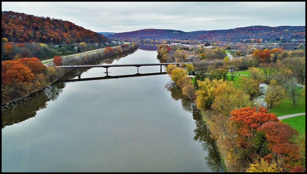
DJI_0407_View from the drone...Down river under blue skies and white clouds
DJI_0126_View from the drone....down river

DJI_0005_view from a drone..as Fall settles in. Practicing with a new drone.

View from the drone...Like an eye toward the sky.

View from the drone......Island in the stream.

DJI_0518_View from the drone. Sky above the earth below 2.
View from a drone...

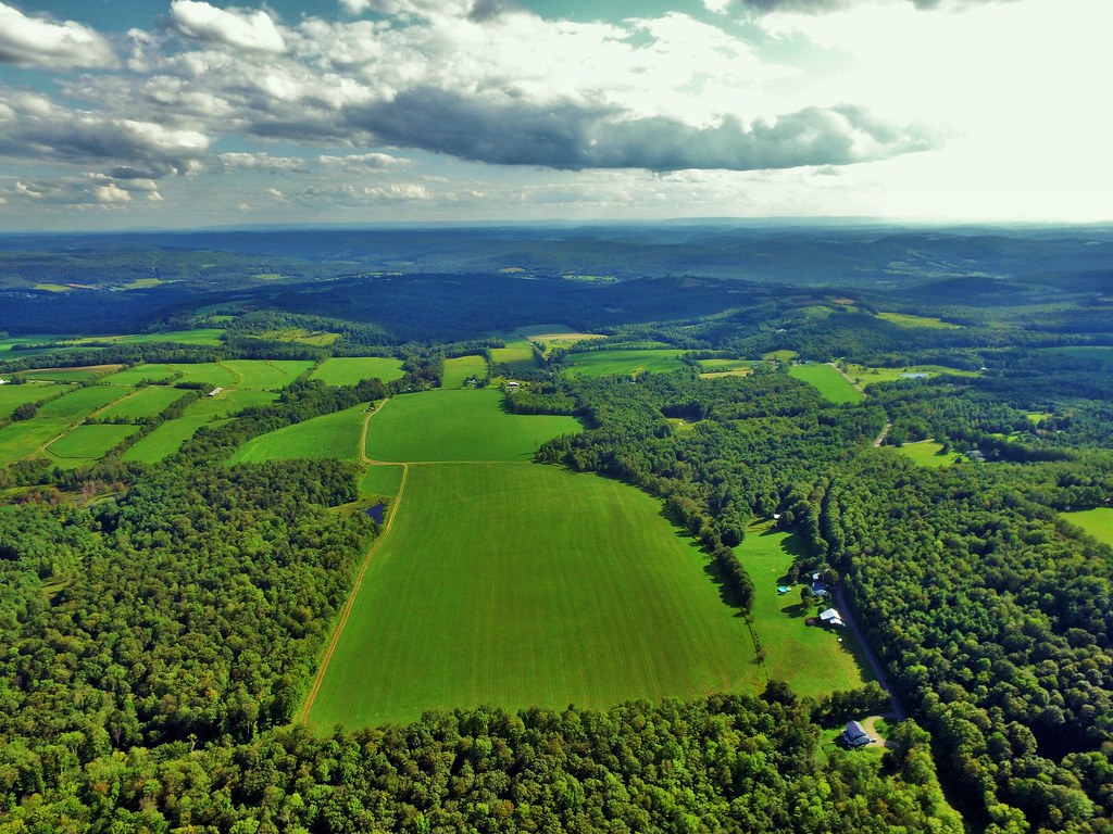
DJI_0037view from the drone.....out in the countryside in late October.
DJI_0010-View from the drone...over where the sun shines through.

DJI_0142-View from the drone. a working farm

DJI_0203_View from the drone...A working farm

View from the drone...chasing the sunlight with a cotton candy monster!

DJI_0526_Follow the Sun. Sky above earth below. View from a drone.

DJI_0163_View from the drone....a drone in a tree

DJI_0027_View from the drone.....Spectacular
Brick Pond In Autumn

Confluence Of Susquehanna River and Owego Creek

Impression Of Geese In Flight

Lehigh Valley 504 Waverly
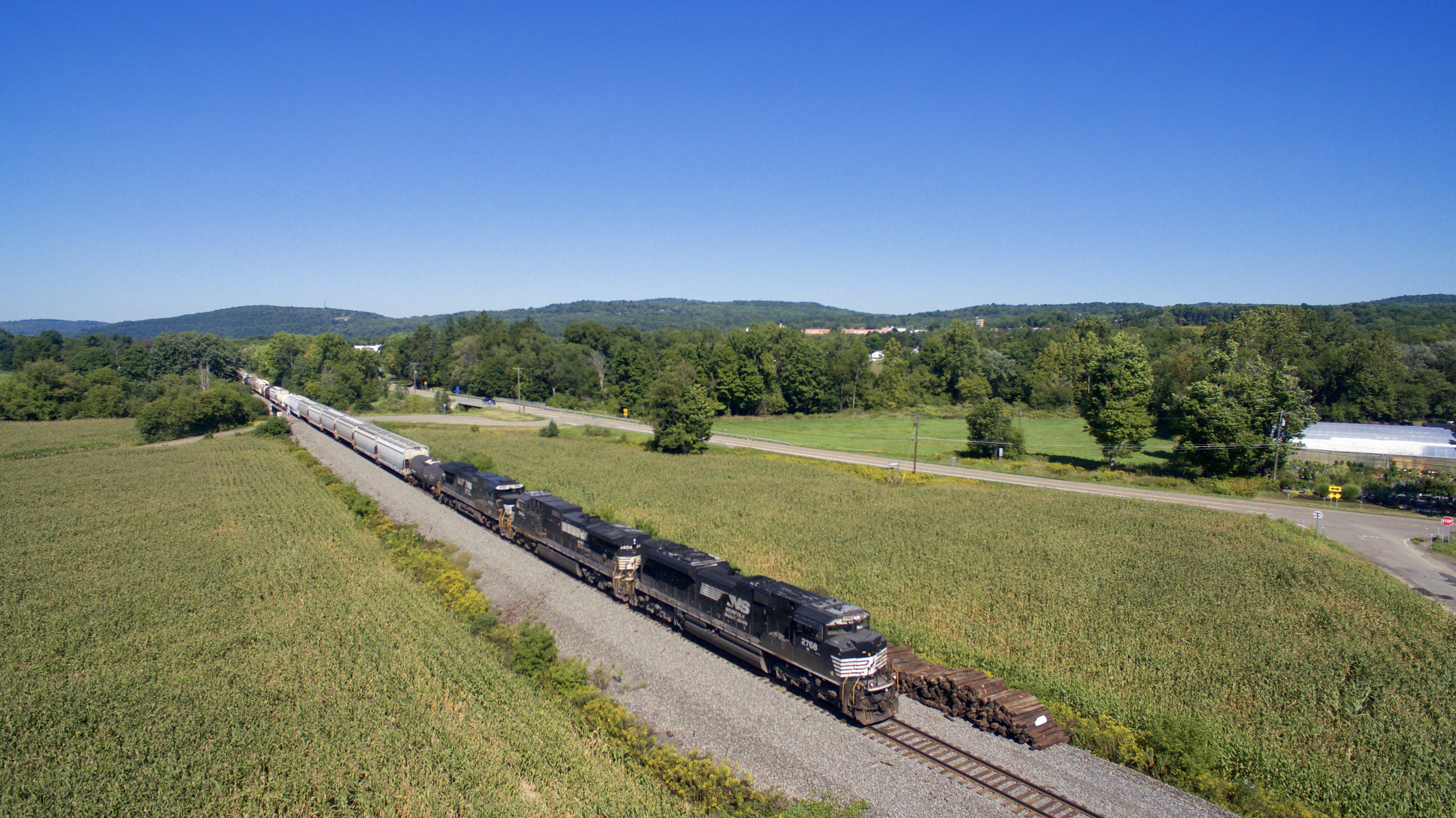
NS 2768

NS 9645

NS 7291

NS 6979

Snow And The River

Owego, NY, from Cemetery Hill, 1913

Sunset in NY with tractor

Late summer haze
Topographic Map of E River Rd, Nichols, NY, USA
Find elevation by address:

Places near E River Rd, Nichols, NY, USA:
NY-17C, Barton, NY, USA
Tioga Center
Nichols
Nichols
721 Main St
139 Roki Blvd
8 W Whitcomb Rd
38 Root Ln
41 Guiles Rd
NY-17C, Barton, NY, USA
Tioga
Tioga County
370 Frost Hollow Rd
421 W Whitcomb Rd
421 W Whitcomb Hill
295 Campbell Hill Rd
295 Campbell Hill Rd
290 Campbell Hill Rd
167 Perrine Rd
Barton
Recent Searches:
- Elevation of Corso Fratelli Cairoli, 35, Macerata MC, Italy
- Elevation of Tallevast Rd, Sarasota, FL, USA
- Elevation of 4th St E, Sonoma, CA, USA
- Elevation of Black Hollow Rd, Pennsdale, PA, USA
- Elevation of Oakland Ave, Williamsport, PA, USA
- Elevation of Pedrógão Grande, Portugal
- Elevation of Klee Dr, Martinsburg, WV, USA
- Elevation of Via Roma, Pieranica CR, Italy
- Elevation of Tavkvetili Mountain, Georgia
- Elevation of Hartfords Bluff Cir, Mt Pleasant, SC, USA