Elevation of E Pinto Dr, Mayer, AZ, USA
Location: United States > Arizona > Yavapai County > Mayer >
Longitude: -112.11245
Latitude: 34.3160878
Elevation: 1134m / 3720feet
Barometric Pressure: 88KPa
Elevation Map:
Satellite Map:
Related Photos:
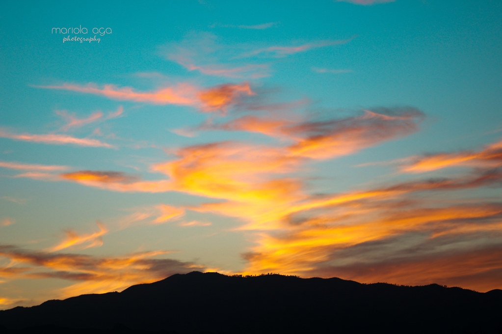
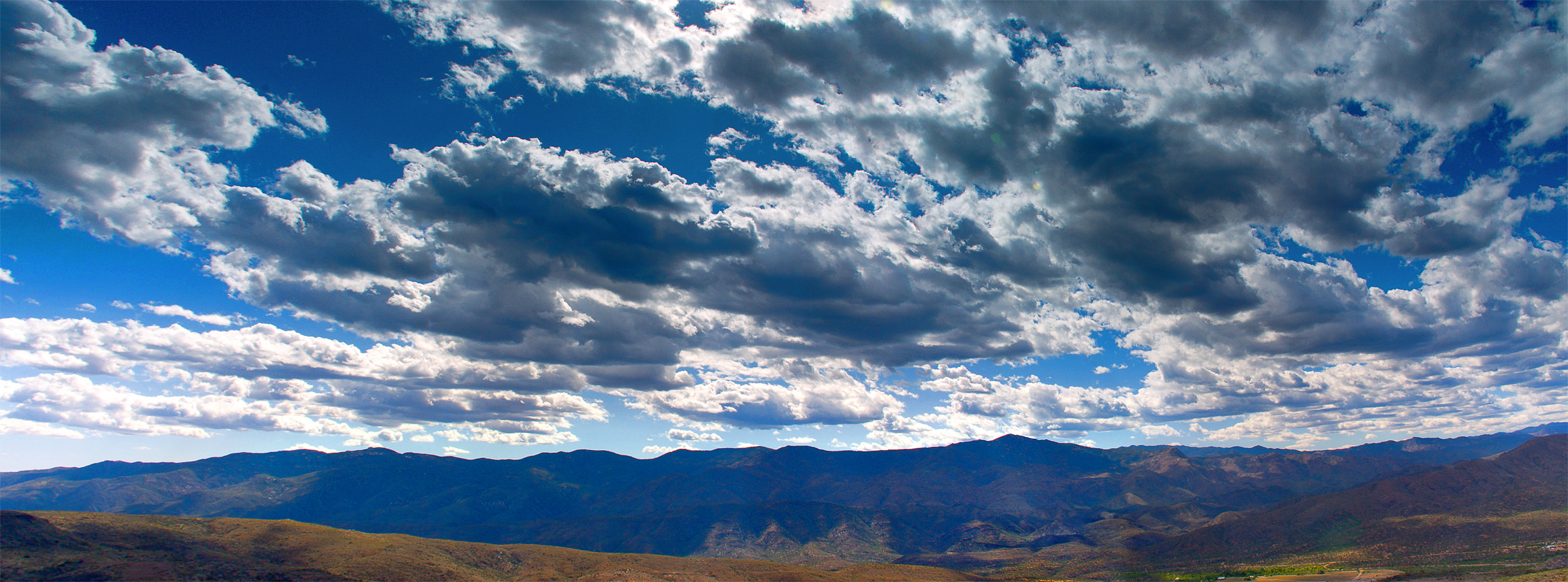
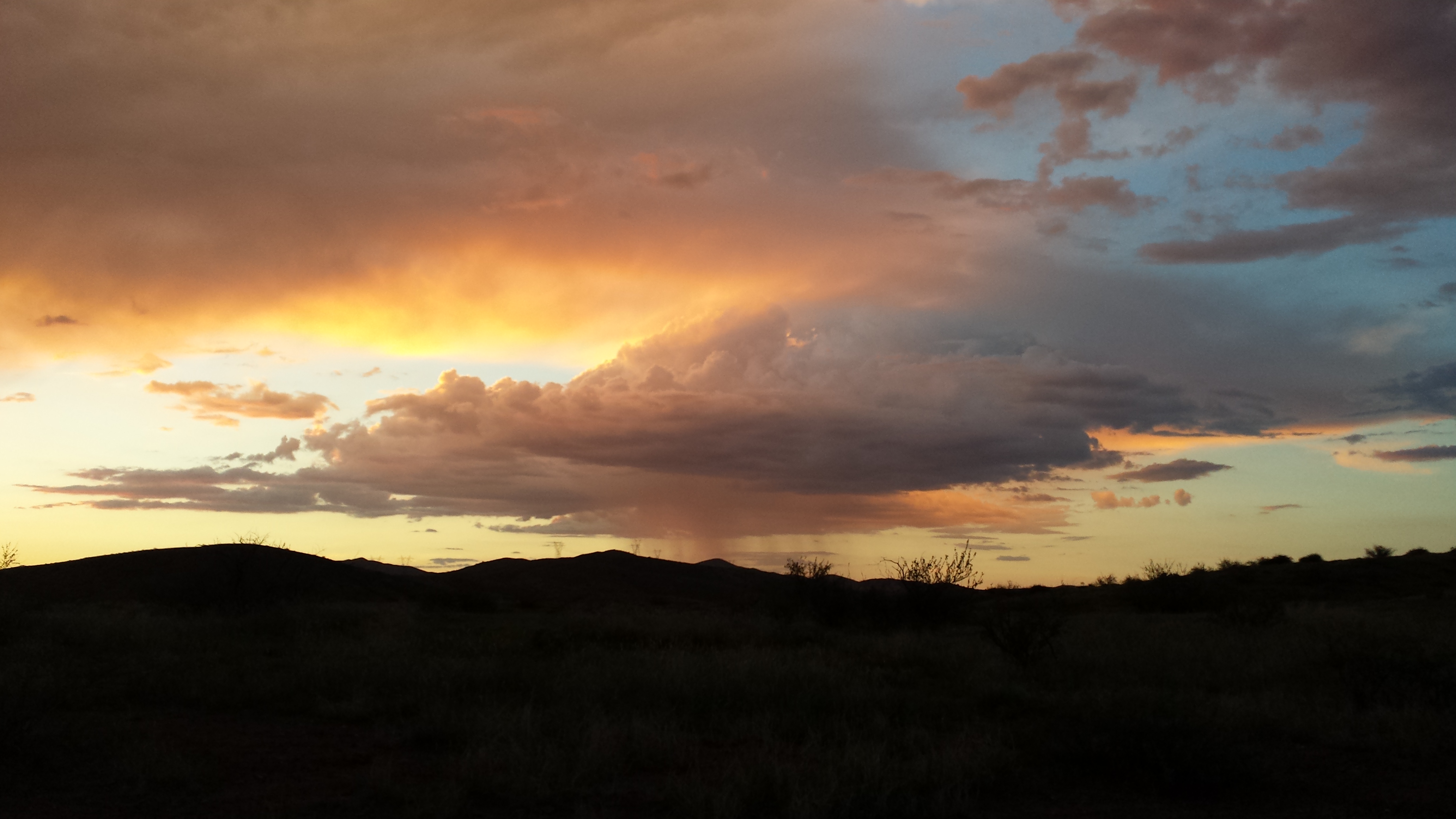
silent evening
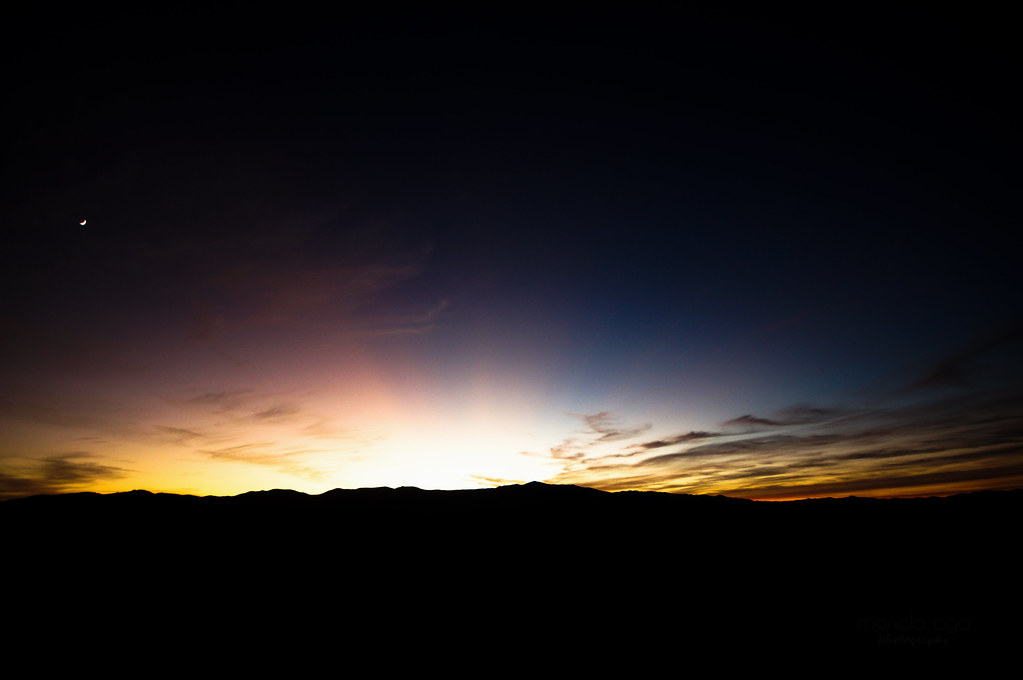
Sunset Point
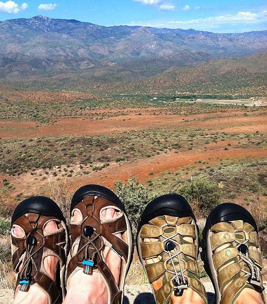
Our Traditional Vacation Feet Shot
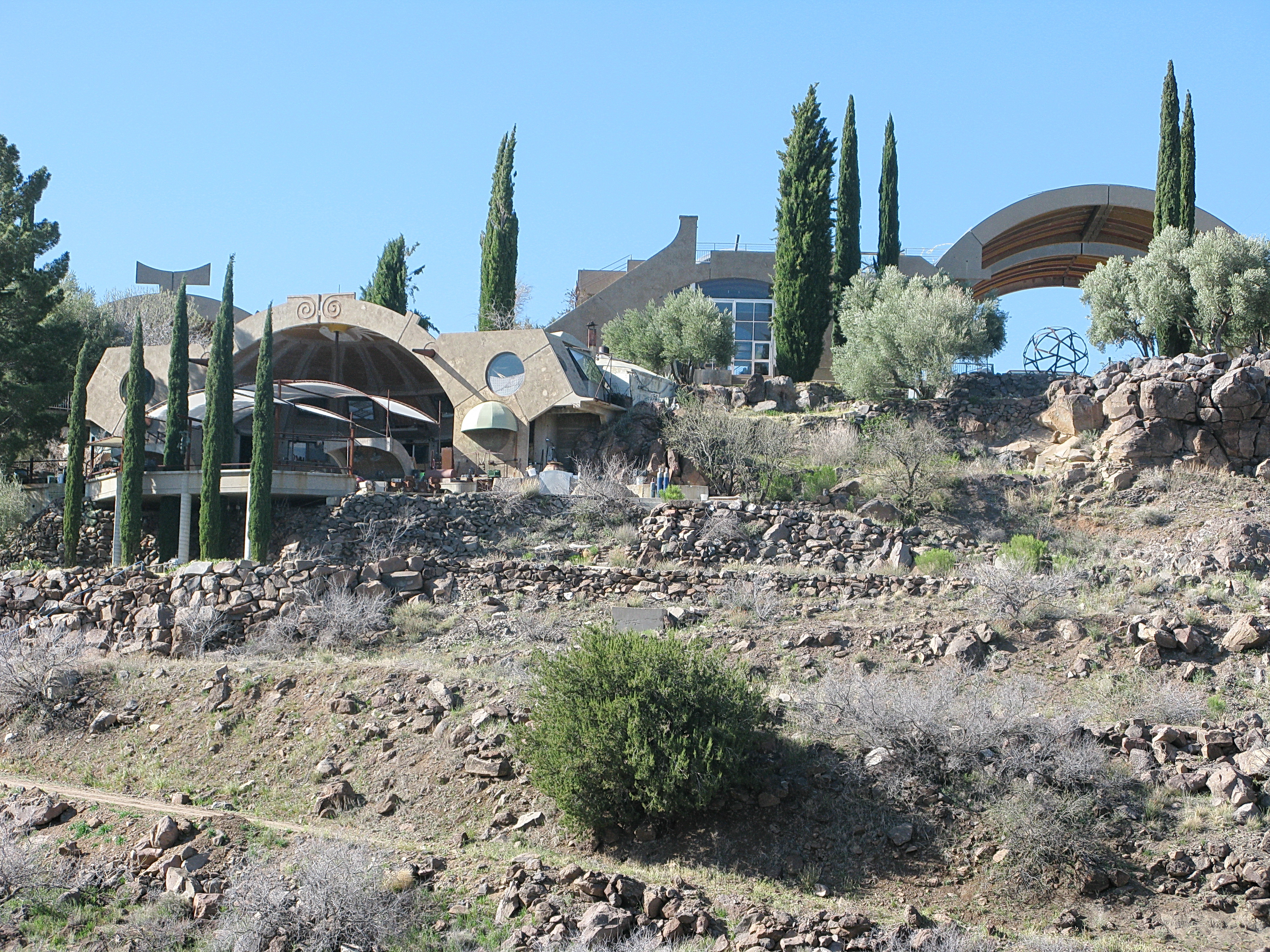
Arcosanti from the Visitor Trail
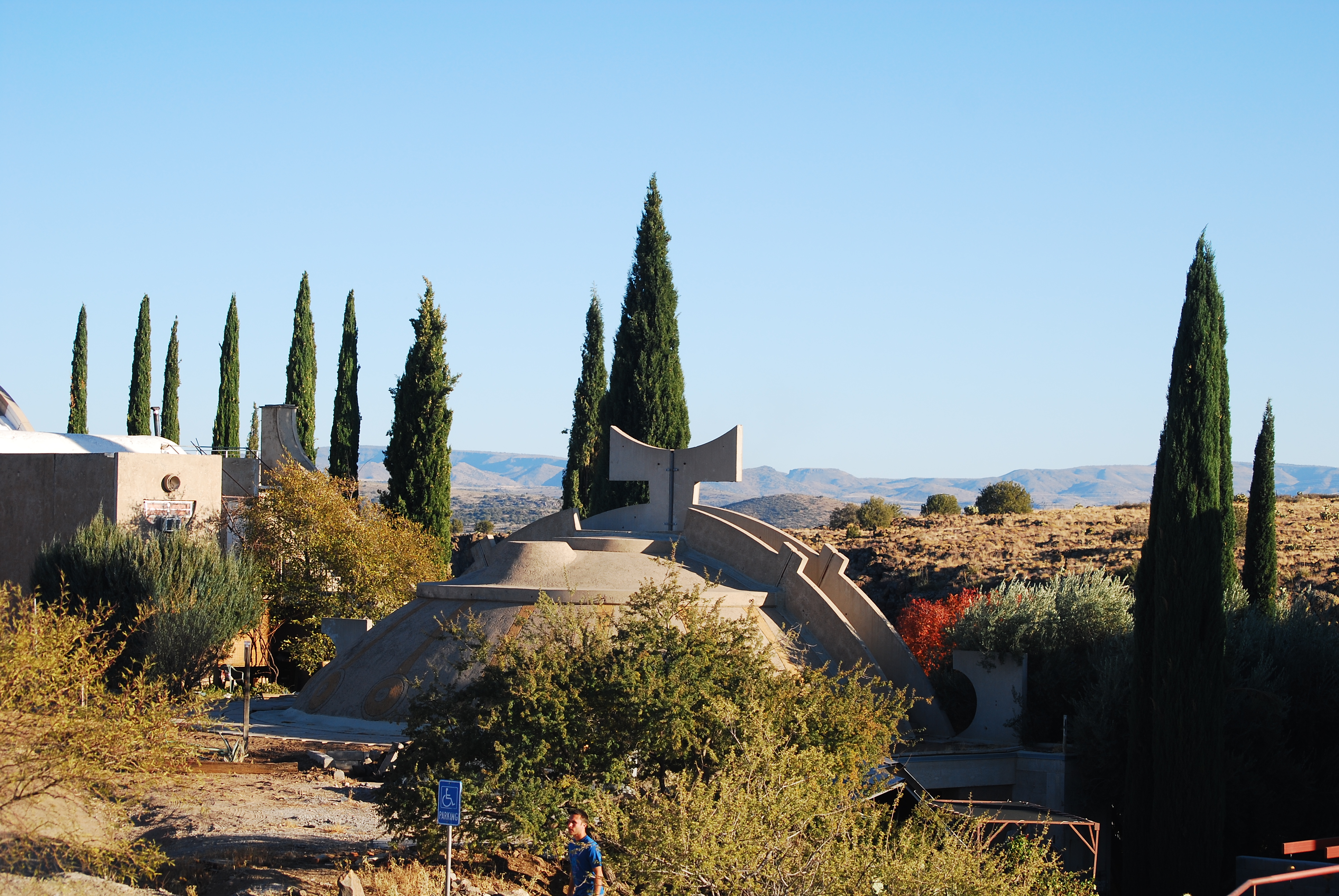
Arcosanti Views
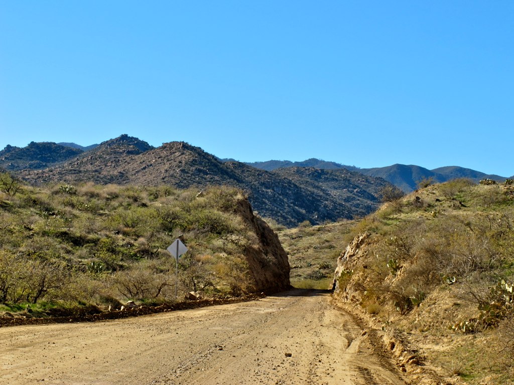
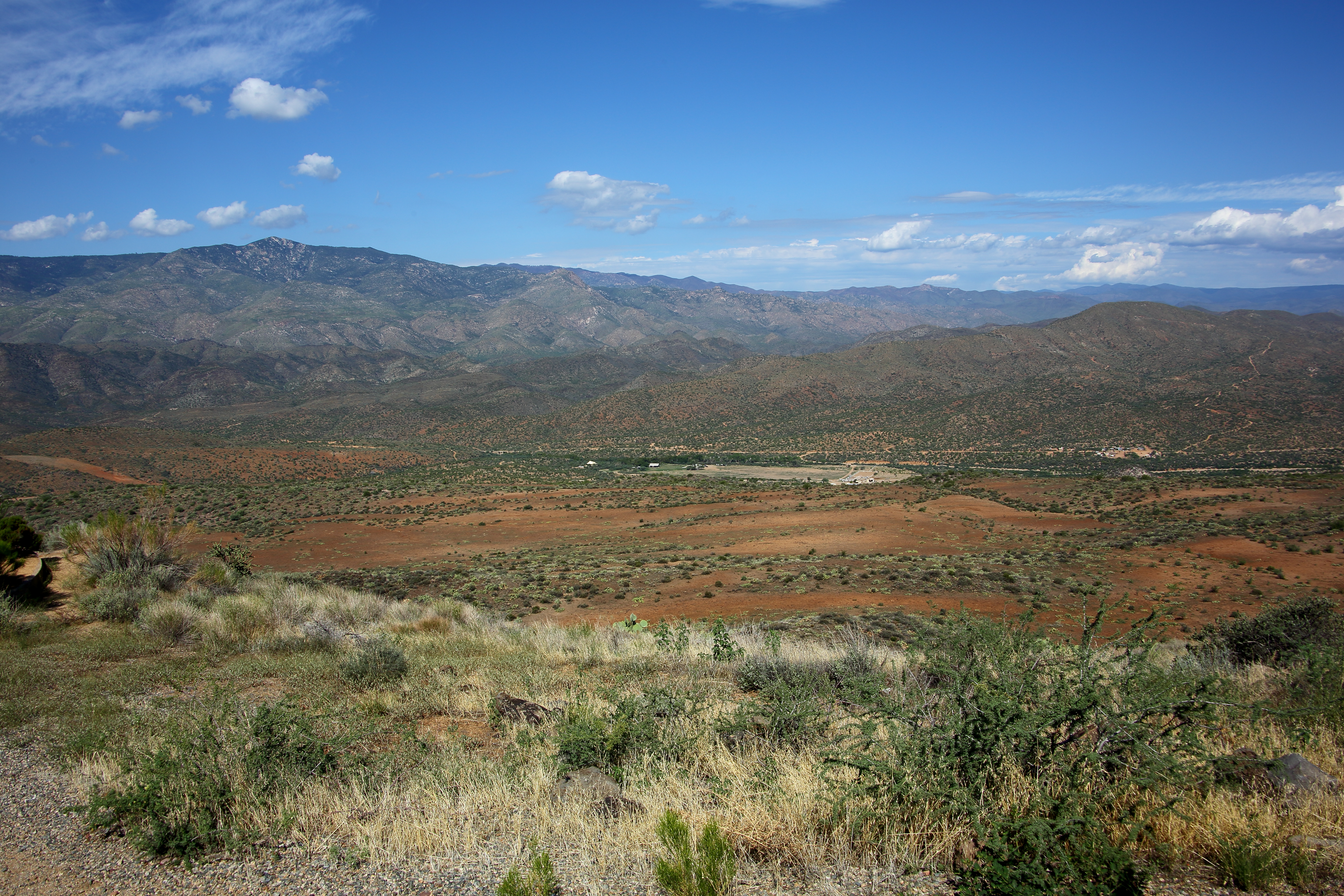
26. View from FR 259 heading up to Crown King
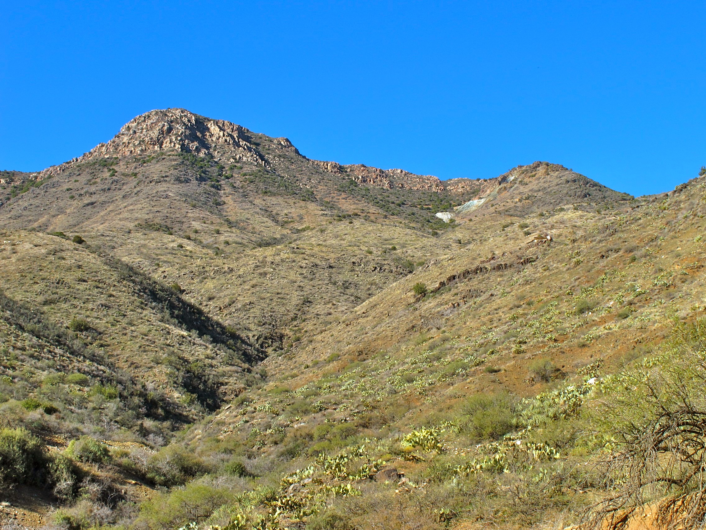
26. View from FR 259 heading up to Crown King

26. View from FR 259 heading up to Crown King

26. View from FR 259 heading up to Crown King
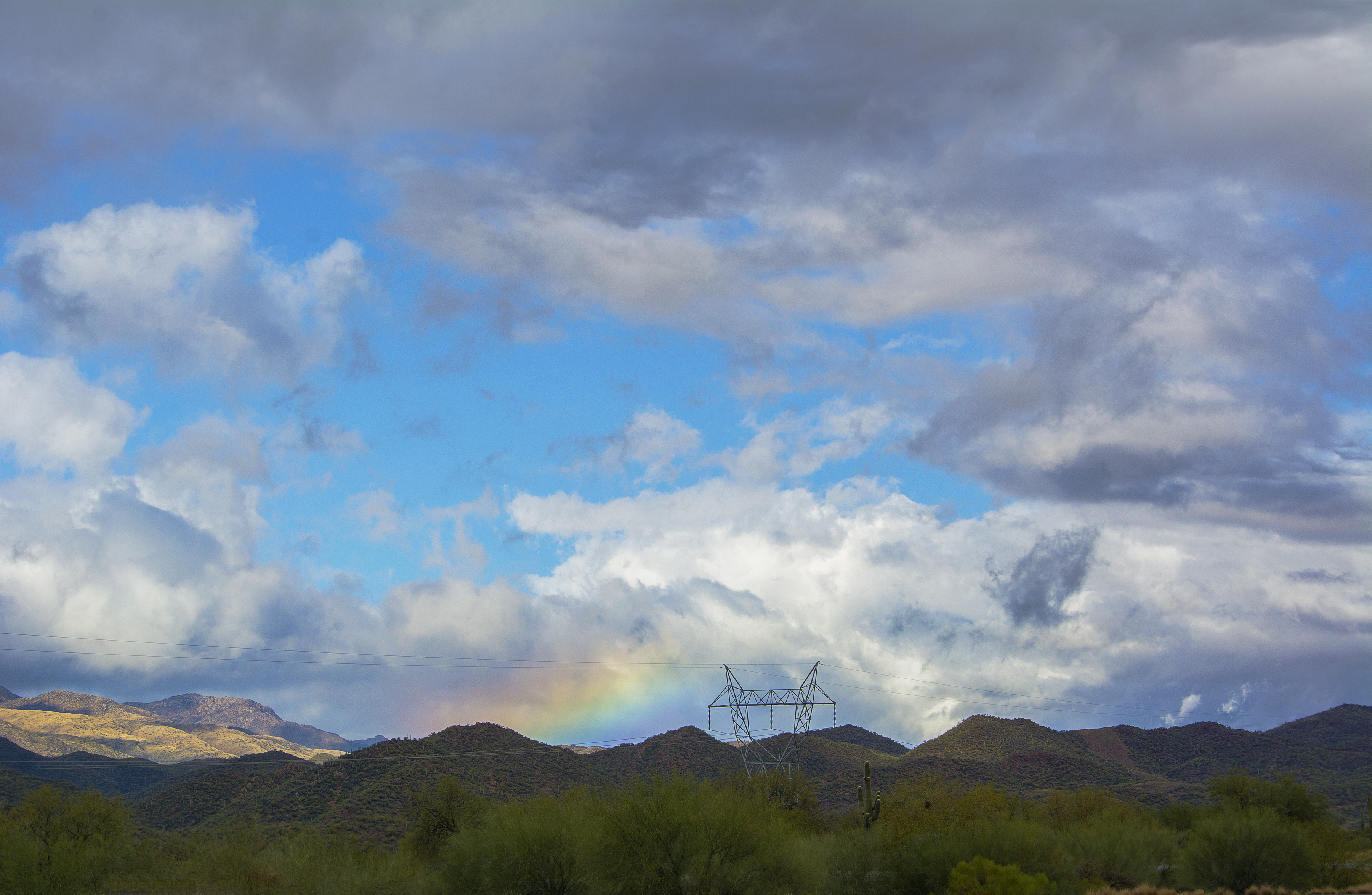
Flattened Rainbow
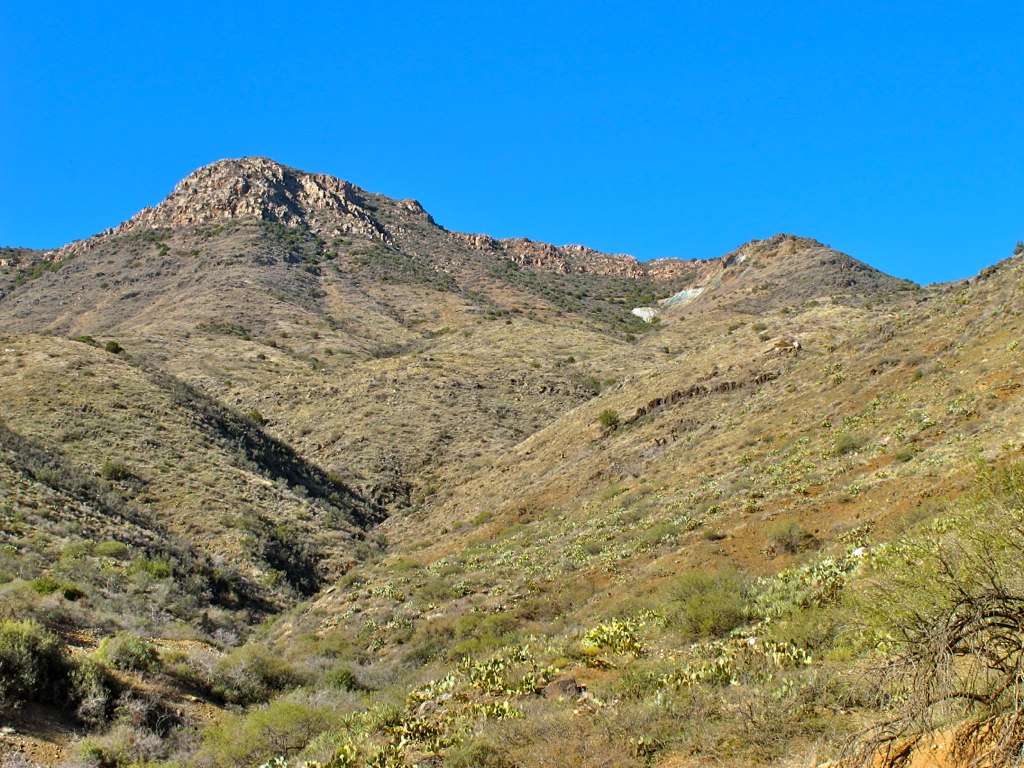
25. View from FR 259 heading up to Crown King just beyond Cleator

25. View from FR 259 heading up to Crown King just beyond Cleator

25. View from FR 259 heading up to Crown King just beyond Cleator
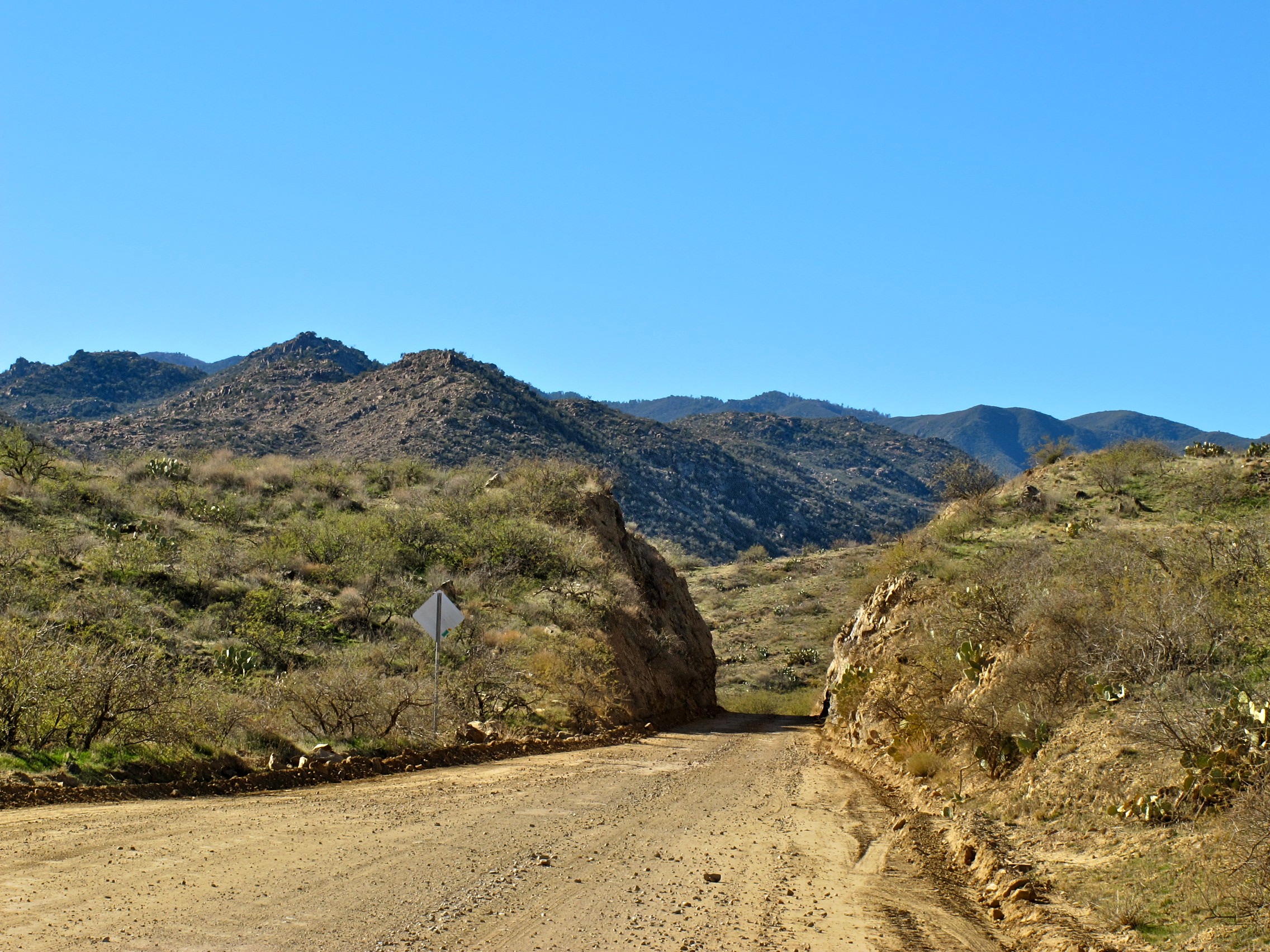
25. View from FR 259 heading up to Crown King just beyond Cleator
Desert Rain
Afternoons Of The Round Table
Sunset Point
Quarter View
95-View of dust storm in The Valley from north of Sunset Point 2_July 2012
Two Views of Bumble Bee, AZ
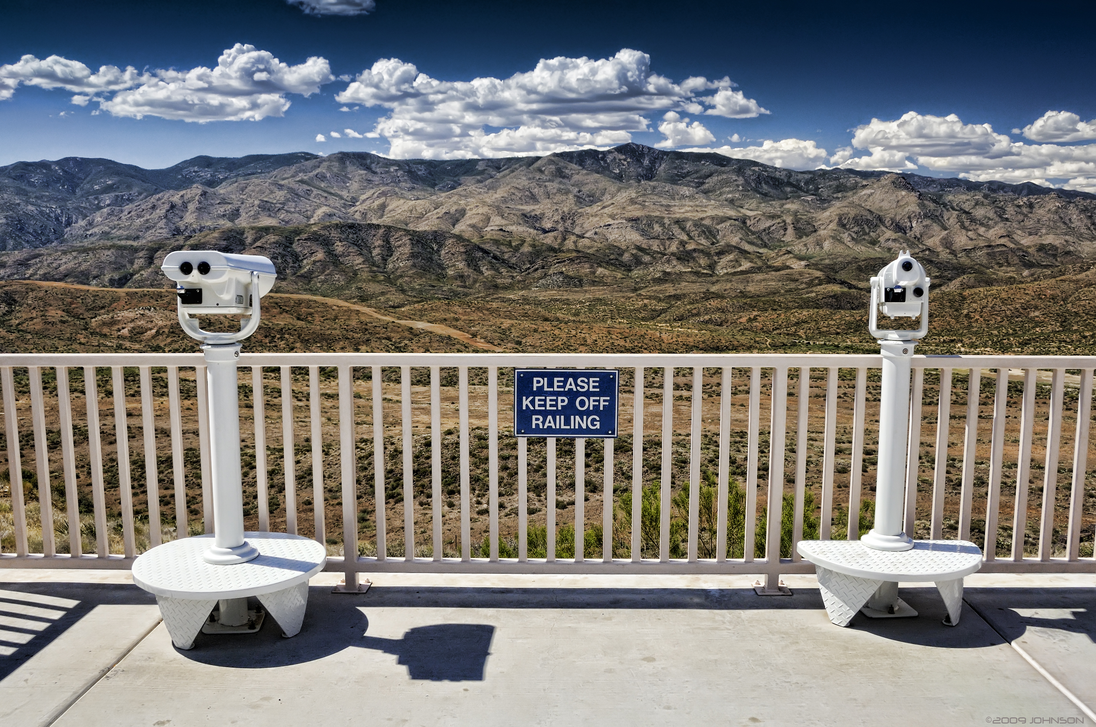
View from Sunset Point Rest Area
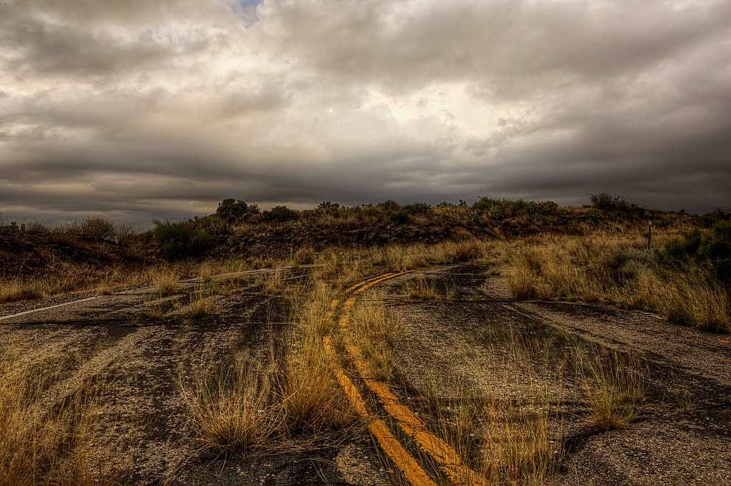
The Road
Sunset Point, I17
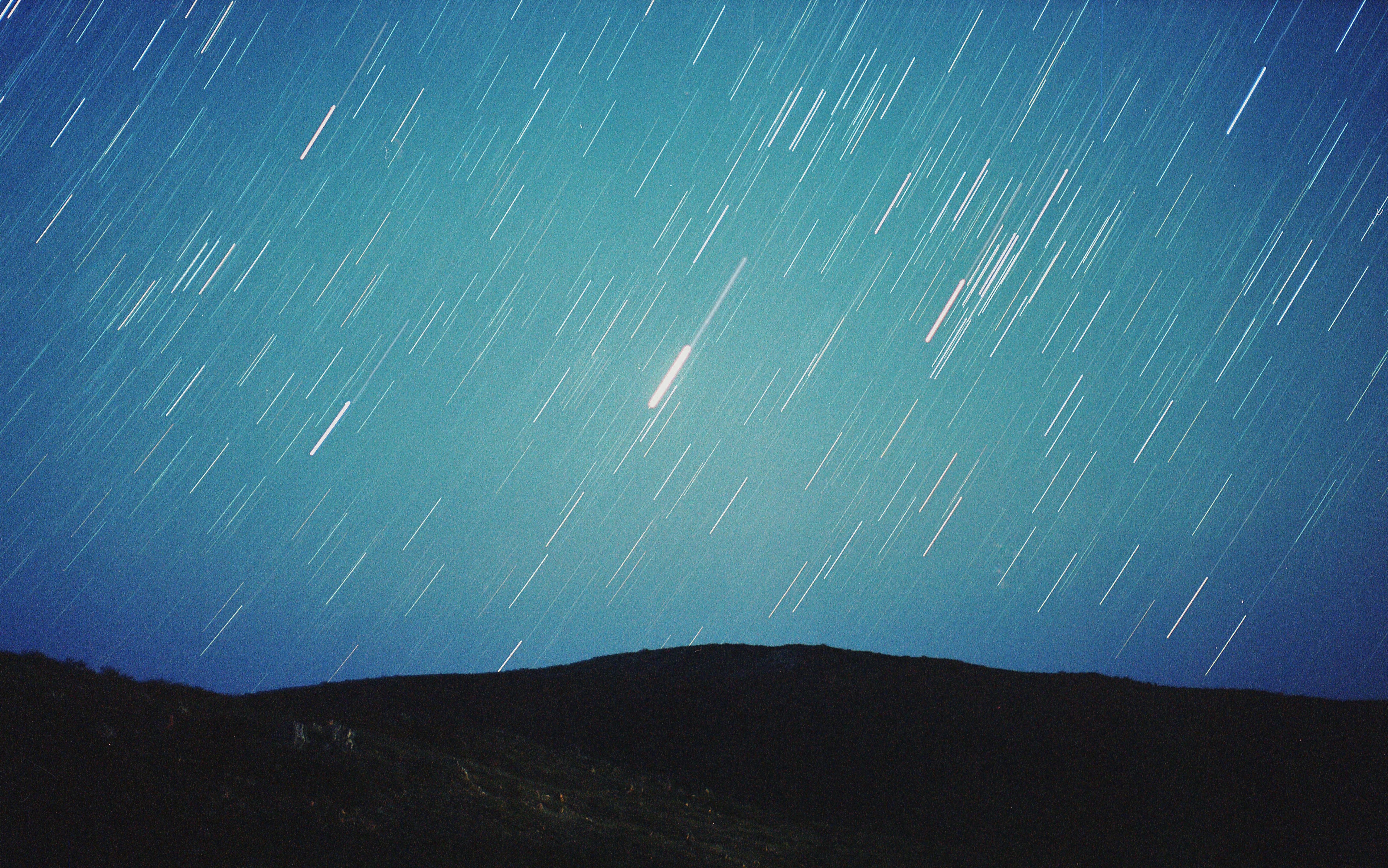
Star Trails
Living in Bumble Bee Arizona
AZ Highways Monsoon Clouds
West Facing Sunset Point
Panorama from the Sunset Point Rest Area
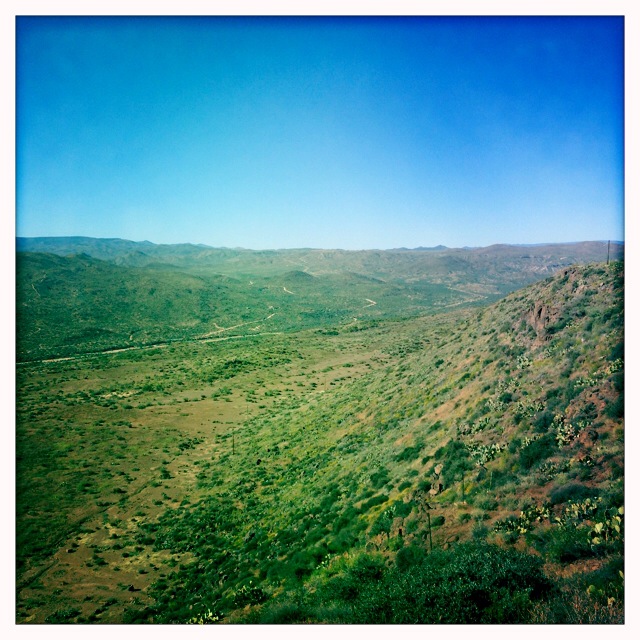
Agua Fria Grassland
We can only move forward ...
Recess Time
Sunset Point
47 / 365 - Pit Stop
Panorama from Sunset Point Rest Area
Time goes by

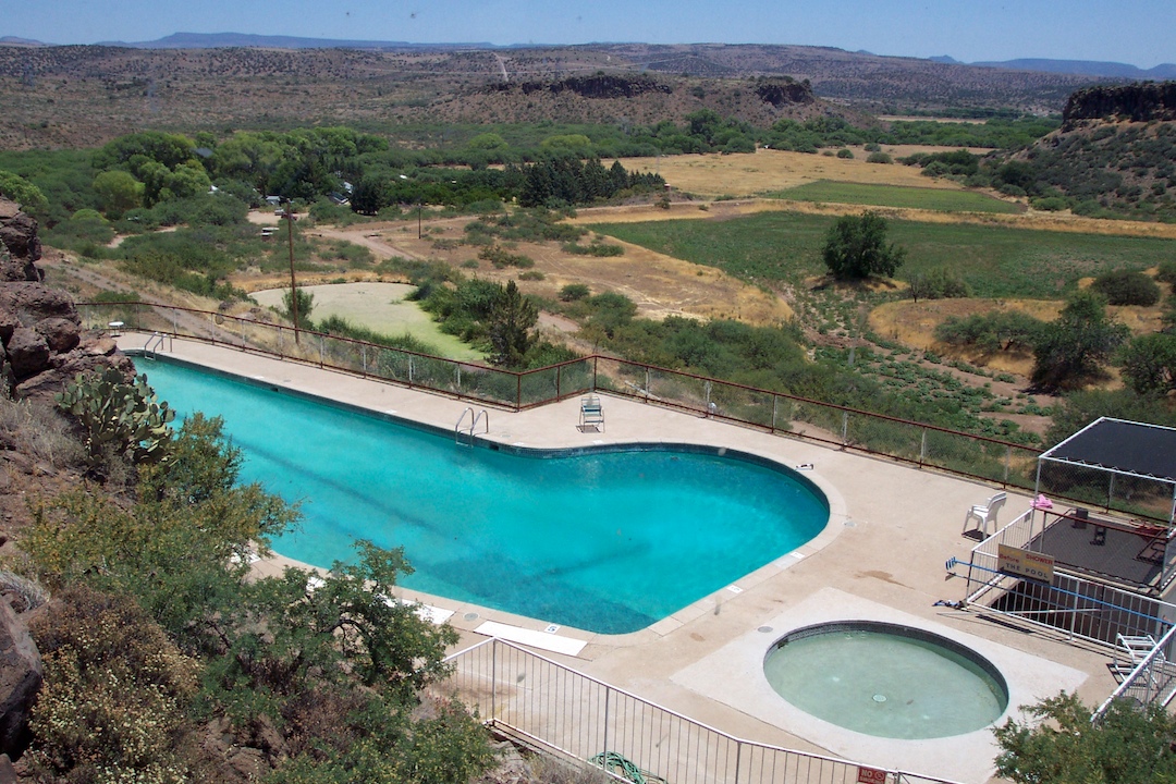
Arcosanti (425)
Adventure!

Welcome to #Arizona ! #sedona here we come. #landscape #elevation #desert #beautiful
Adventure!
Arcosanti Visit 2003 64
Topographic Map of E Pinto Dr, Mayer, AZ, USA
Find elevation by address:

Places near E Pinto Dr, Mayer, AZ, USA:
20216 E Conestoga Dr
20021 E Mingus Dr
Cordes Lakes
19601 Cordes Lakes Rd
E Cedar Canyon Dr, Mayer, AZ, USA
South Red Rock Lane
East Larry Lane
16501 S Red Rock Ln
Cordes Junction
20878 E Cedar Dr
Mayer, AZ, USA
Copper Star Road
17053 E Bob White Rd
Old Sycamore Road
15825 E Broken Bit Rd
S Old Black Canyon Hwy, Mayer, AZ, USA
Bumble Bee
11205 Az-69
Sunset Point
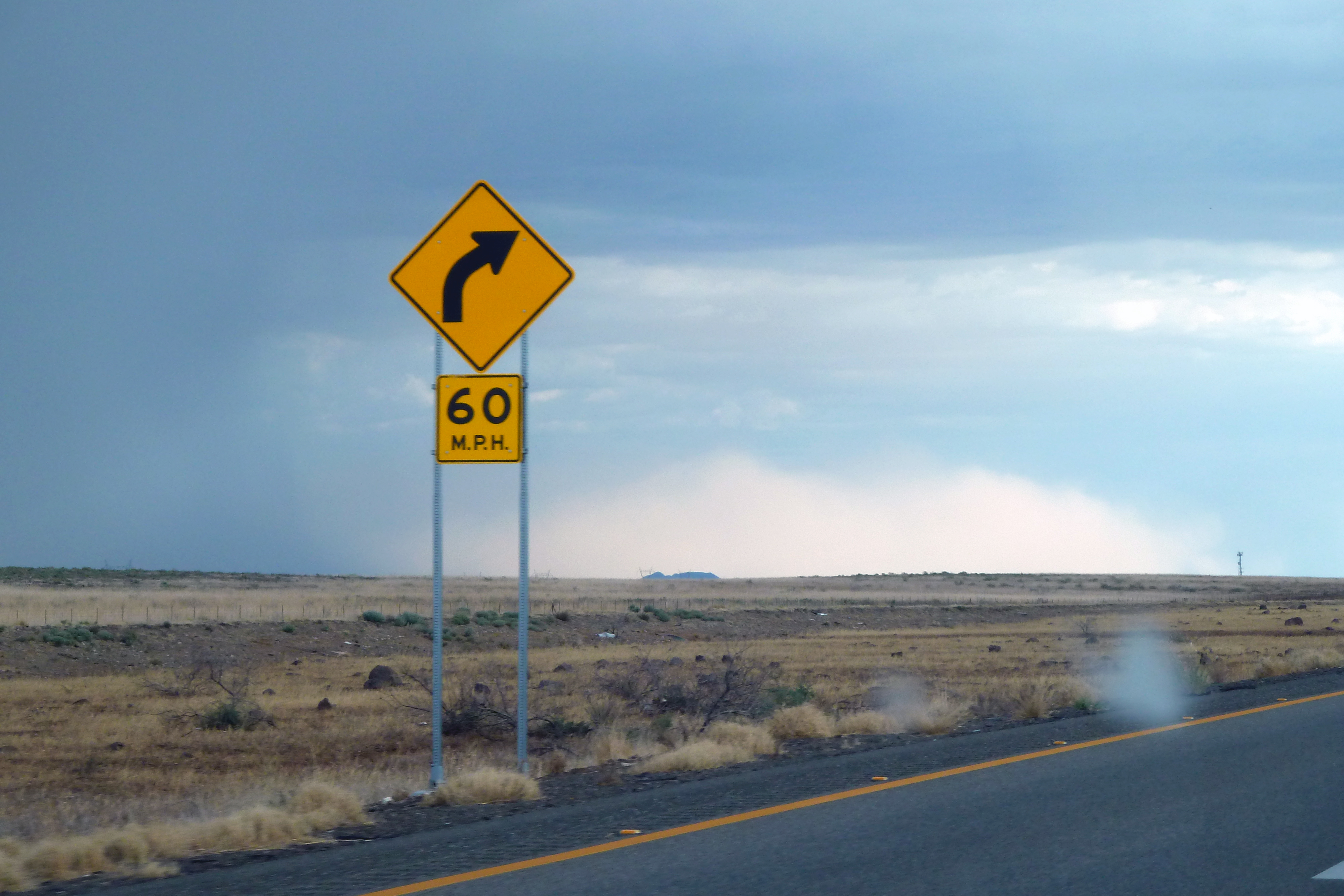
Interstate 17
Recent Searches:
- Elevation of Corso Fratelli Cairoli, 35, Macerata MC, Italy
- Elevation of Tallevast Rd, Sarasota, FL, USA
- Elevation of 4th St E, Sonoma, CA, USA
- Elevation of Black Hollow Rd, Pennsdale, PA, USA
- Elevation of Oakland Ave, Williamsport, PA, USA
- Elevation of Pedrógão Grande, Portugal
- Elevation of Klee Dr, Martinsburg, WV, USA
- Elevation of Via Roma, Pieranica CR, Italy
- Elevation of Tavkvetili Mountain, Georgia
- Elevation of Hartfords Bluff Cir, Mt Pleasant, SC, USA