Elevation of E Main St, Port Leyden, NY, USA
Location: United States > New York > Lewis County > Port Leyden >
Longitude: -75.334886
Latitude: 43.5823128
Elevation: 273m / 896feet
Barometric Pressure: 98KPa
Elevation Map:
Satellite Map:
Related Photos:
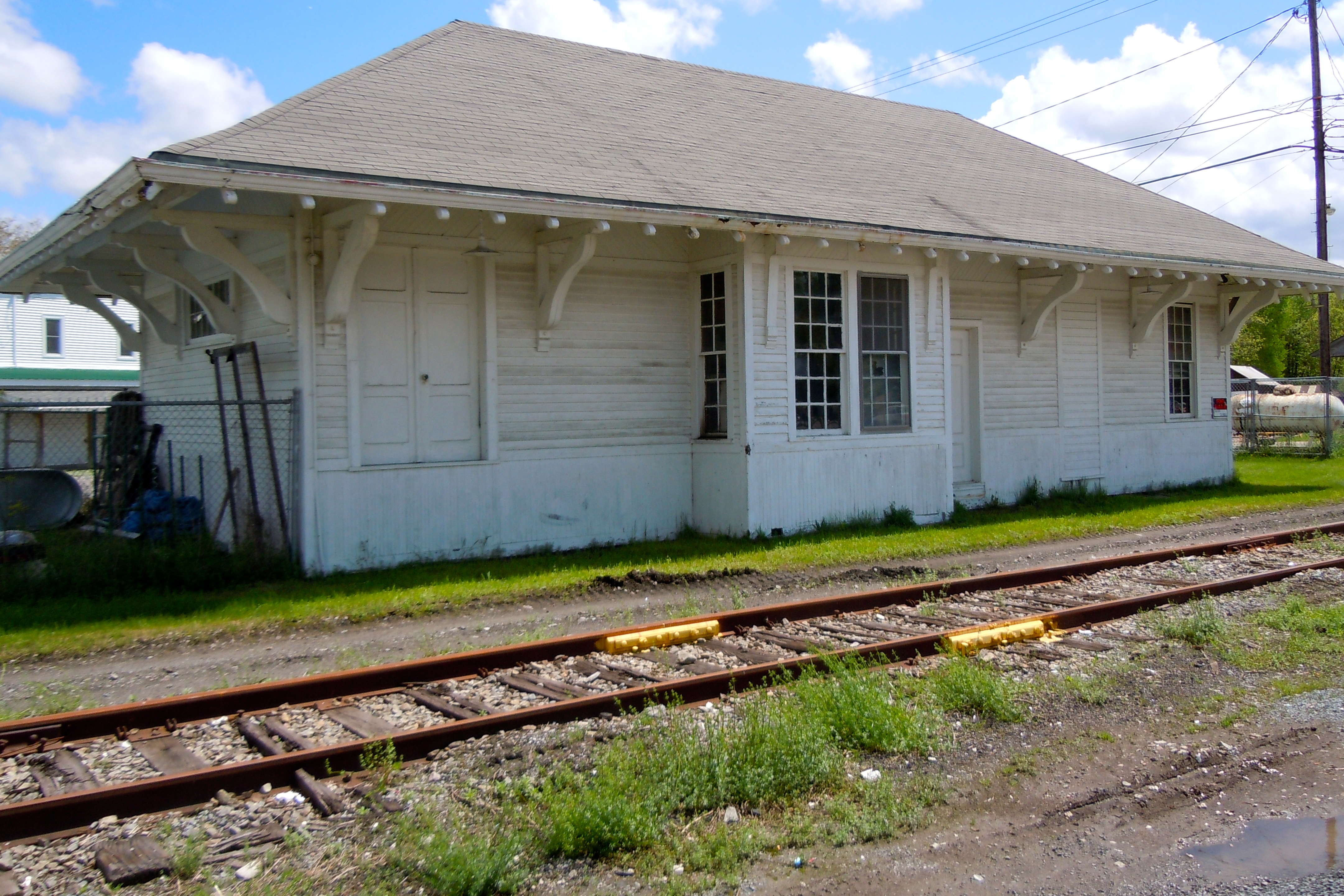
Lyons Falls Station

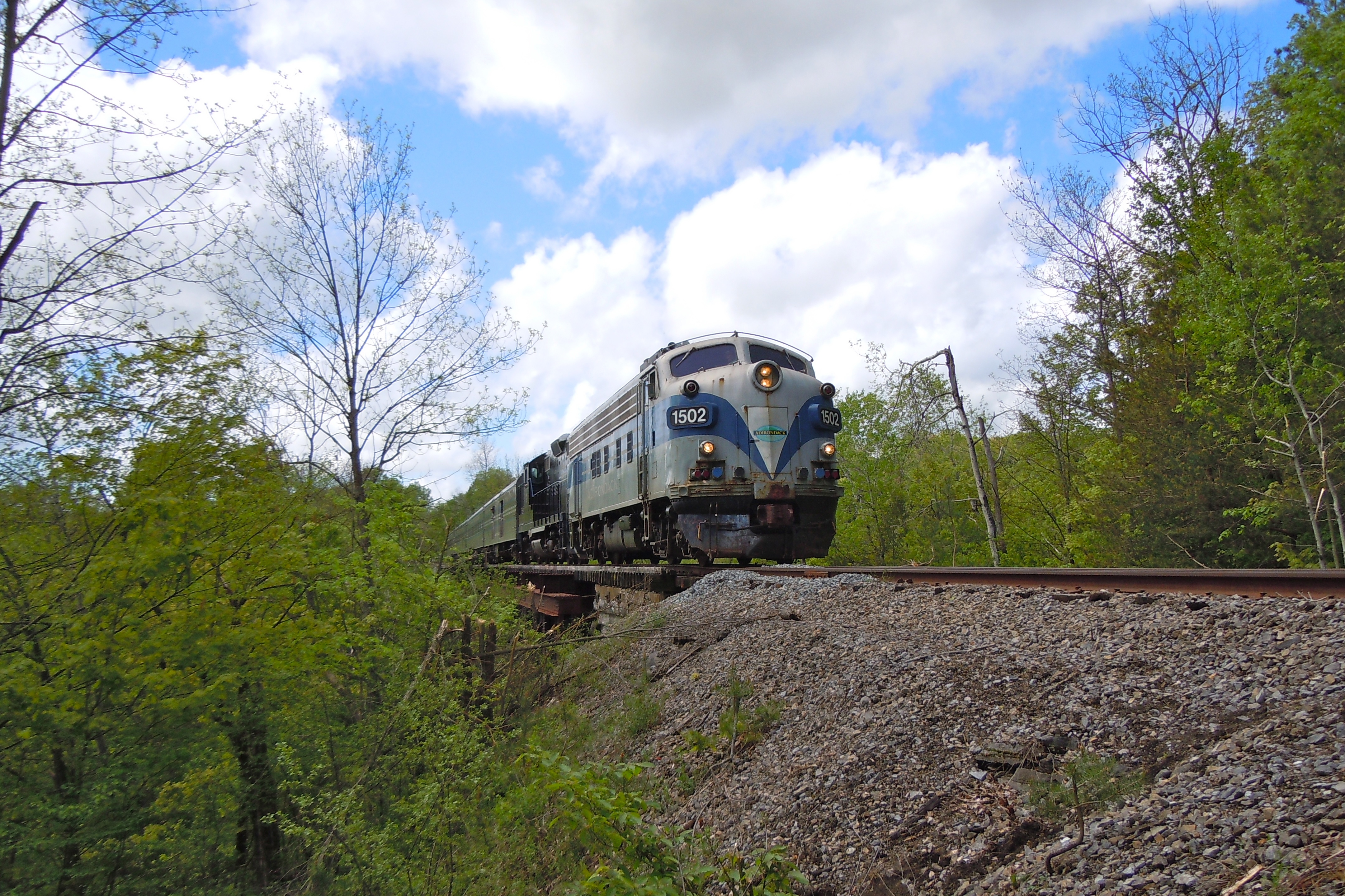
View from the Yo-Yo
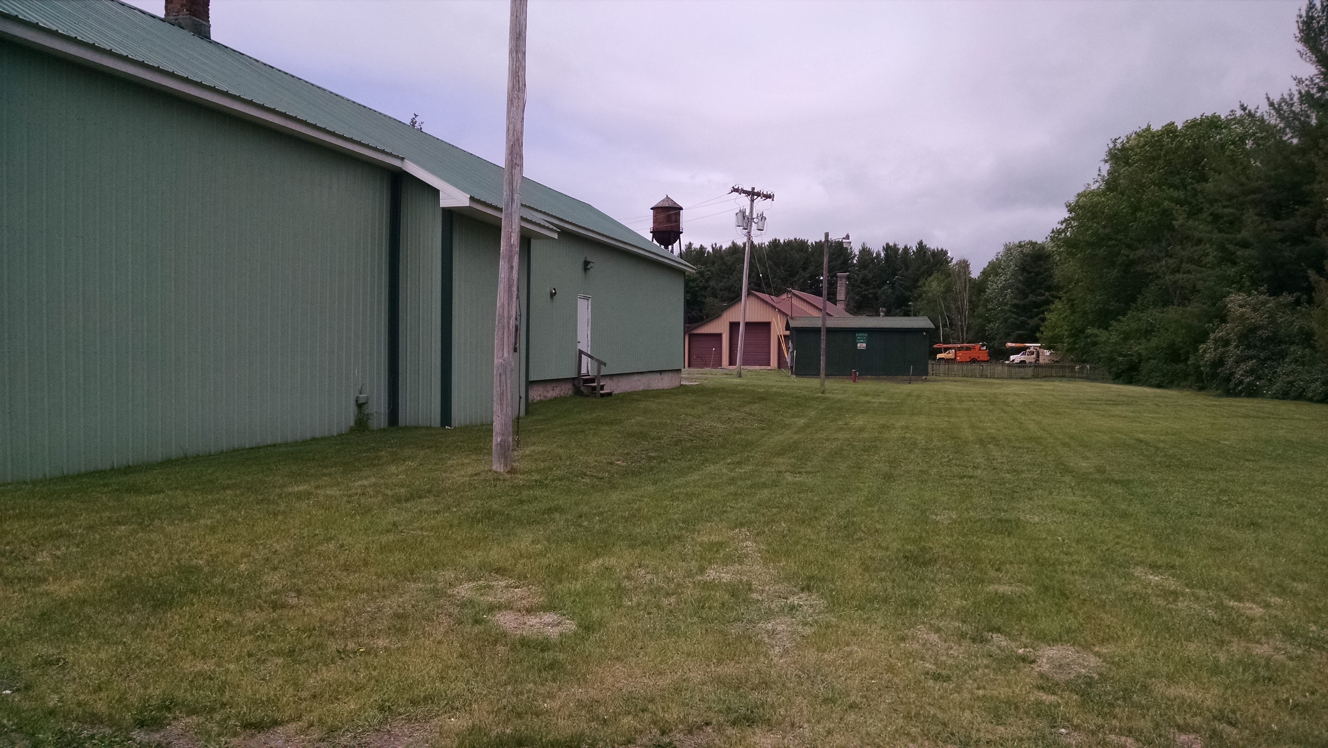
NYC (R, W & O) ROW, Glenfield, NY
Inside Lock 96

AFTER GLOW

The Bend

No Boats Until Next Month

Nobody Home but the Loons

Pixley Falls State Park
Sugar River Trestle

Camp Russel Island

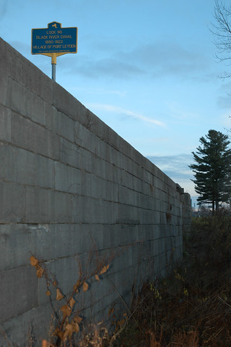
Remains of Black River Canal

Stopping to Look at Moose River
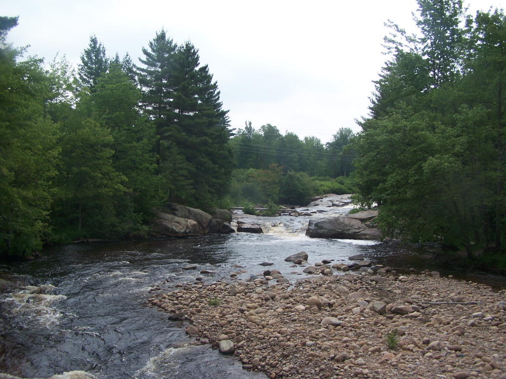
The Otter Creek Falls

Agers Falls - Lyons Falls, New York

Agers Falls - Lyons Falls, New York
Topographic Map of E Main St, Port Leyden, NY, USA
Find elevation by address:

Places near E Main St, Port Leyden, NY, USA:
Port Leyden
Leyden
NY-12D, Boonville, NY, USA
3133 W Rd
328 Riveredge Ln
3277 Hayes Rd W
8068 Moose River Rd
Constableville
Hayes Road
New York 12
Boonville
103 Feeder St
103 Feeder St
410 Post St
Boonville Fair Association
611 Post St
138 Woodgate Dr
109 Woodgate Dr
Village Of Boonville, Ny
2740 Lovers Ln
Recent Searches:
- Elevation of Corso Fratelli Cairoli, 35, Macerata MC, Italy
- Elevation of Tallevast Rd, Sarasota, FL, USA
- Elevation of 4th St E, Sonoma, CA, USA
- Elevation of Black Hollow Rd, Pennsdale, PA, USA
- Elevation of Oakland Ave, Williamsport, PA, USA
- Elevation of Pedrógão Grande, Portugal
- Elevation of Klee Dr, Martinsburg, WV, USA
- Elevation of Via Roma, Pieranica CR, Italy
- Elevation of Tavkvetili Mountain, Georgia
- Elevation of Hartfords Bluff Cir, Mt Pleasant, SC, USA