Elevation of E Lovell St, Crowley, LA, USA
Location: United States > Louisiana > Acadia Parish > >
Longitude: -92.365918
Latitude: 30.1977277
Elevation: 6m / 20feet
Barometric Pressure: 101KPa
Elevation Map:
Satellite Map:
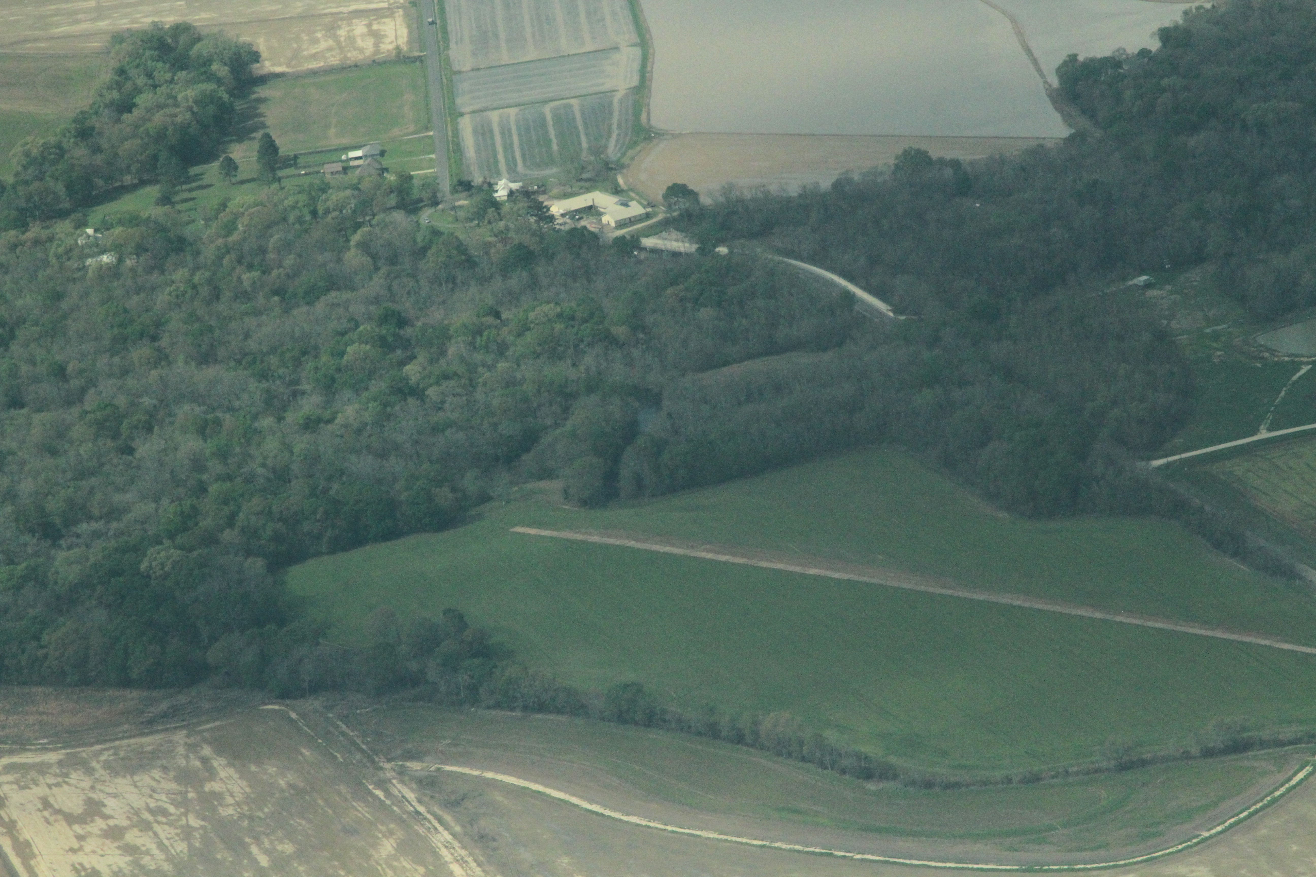
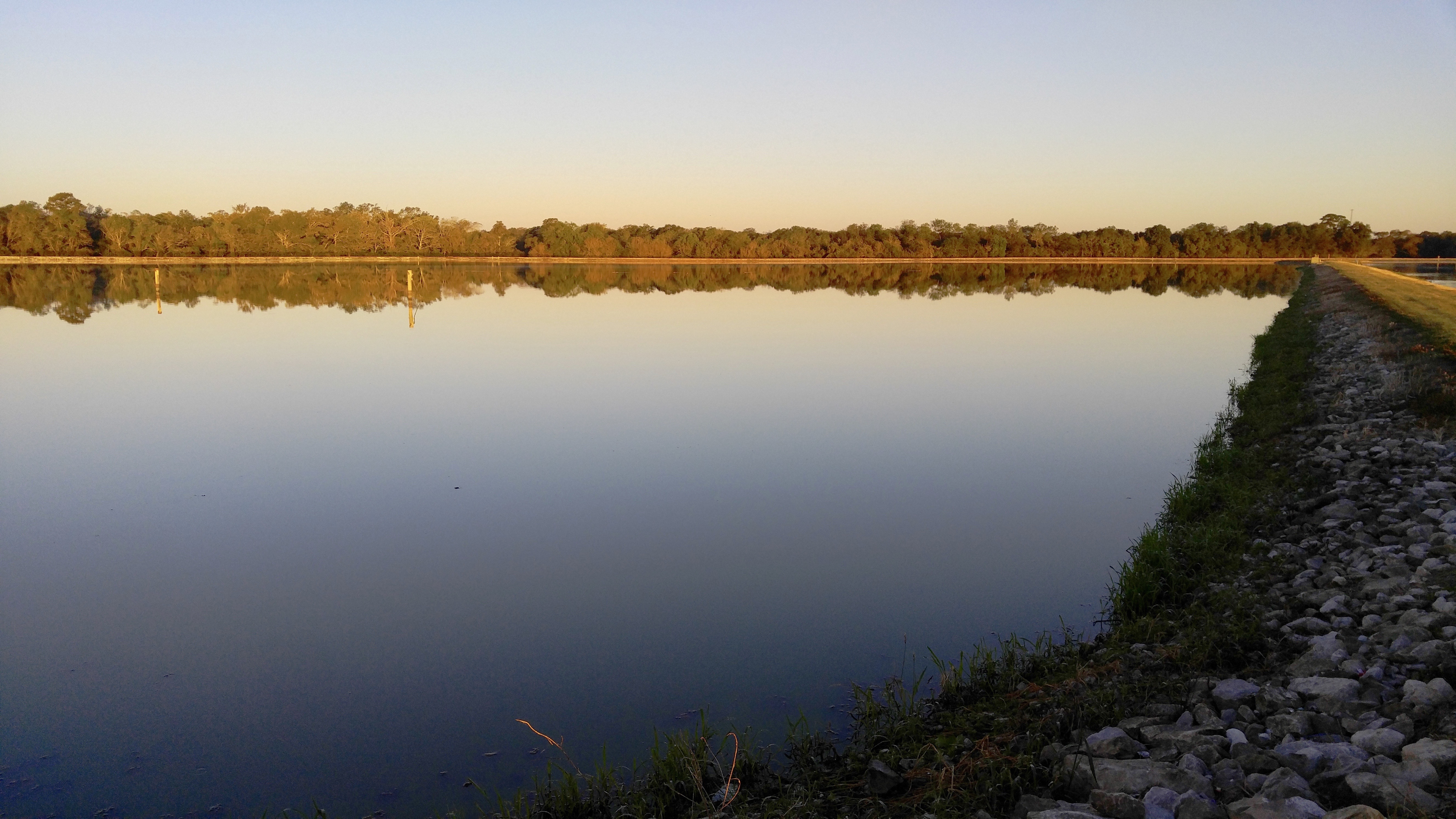
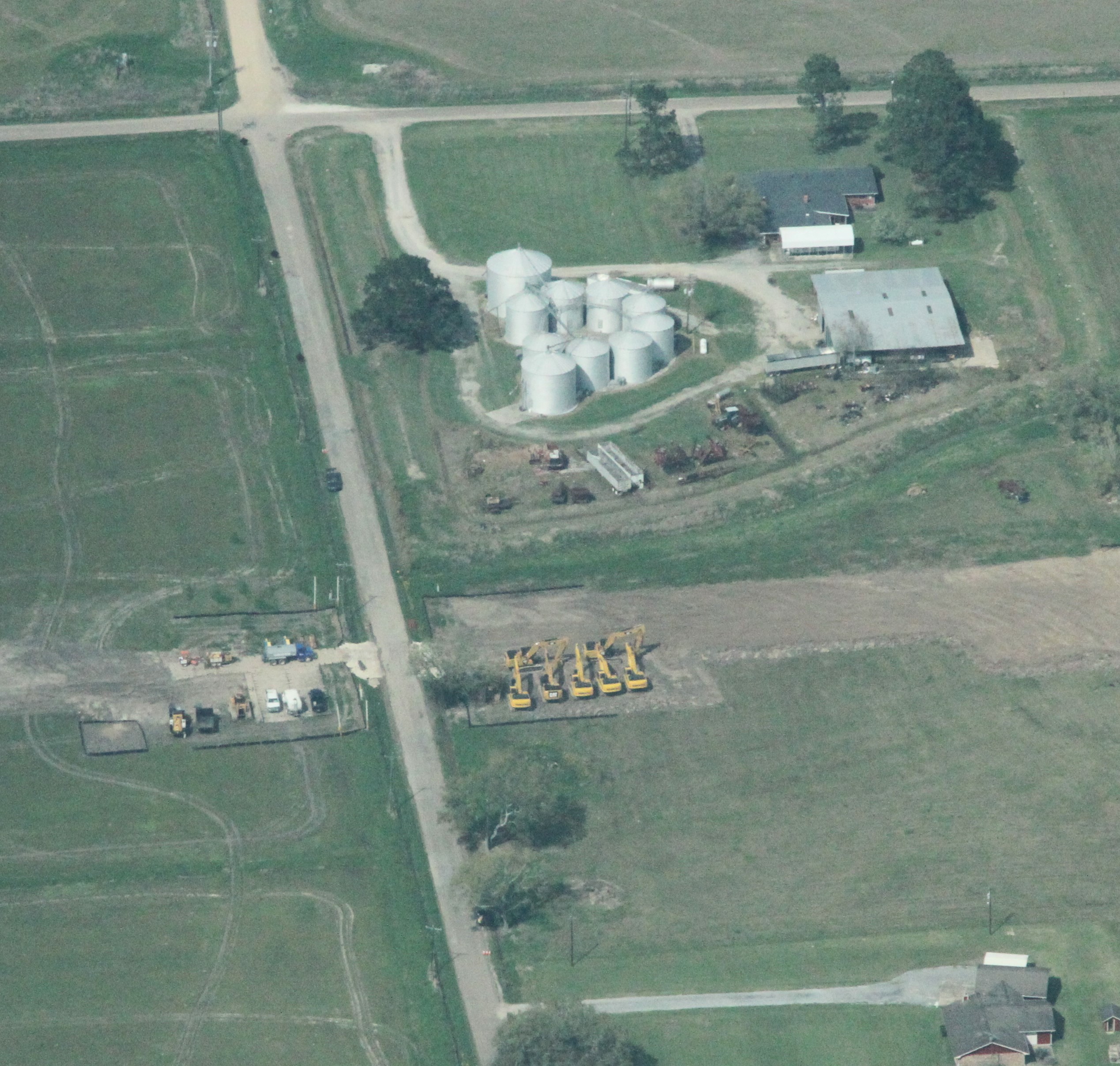
Related Photos:

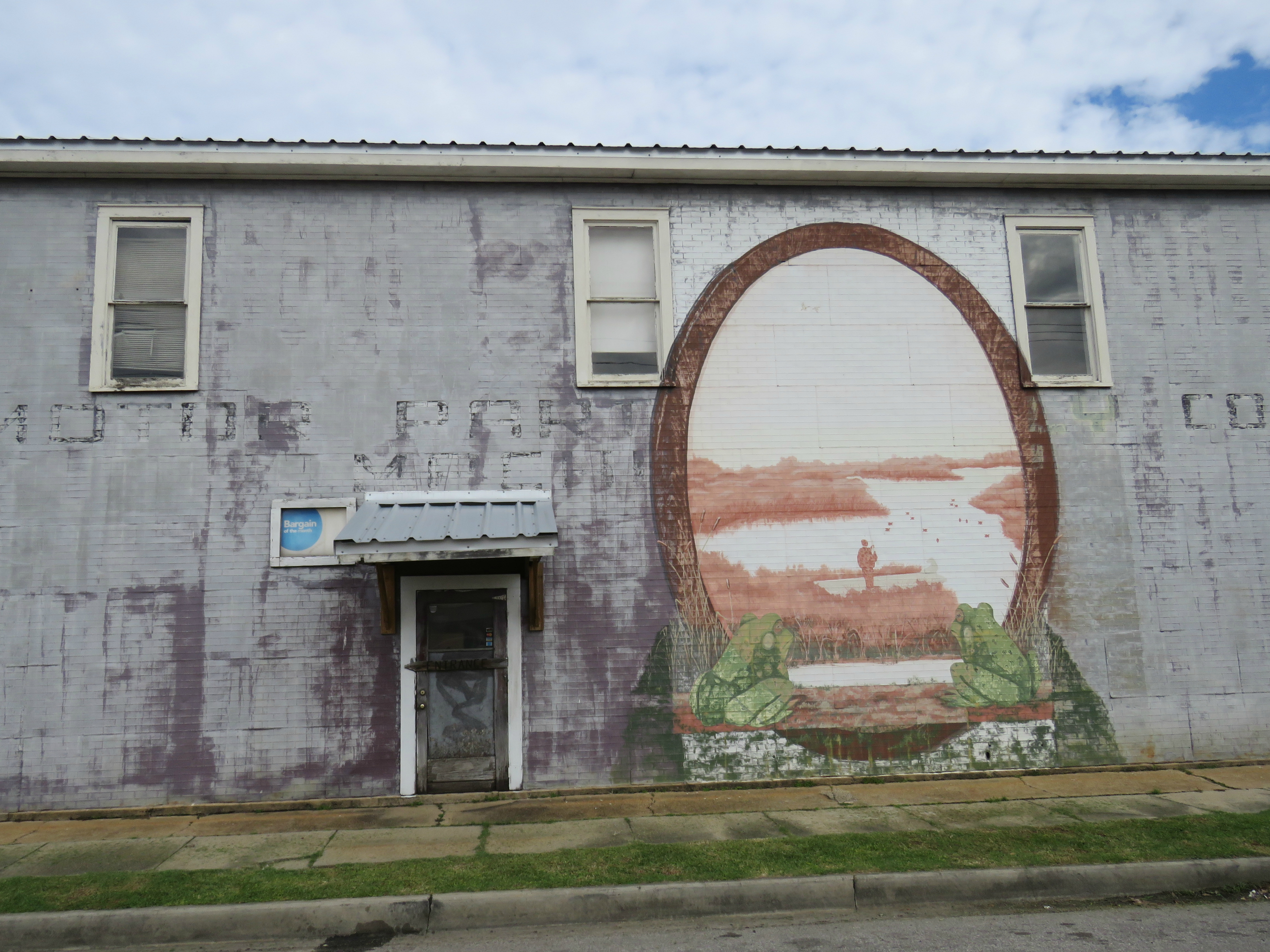
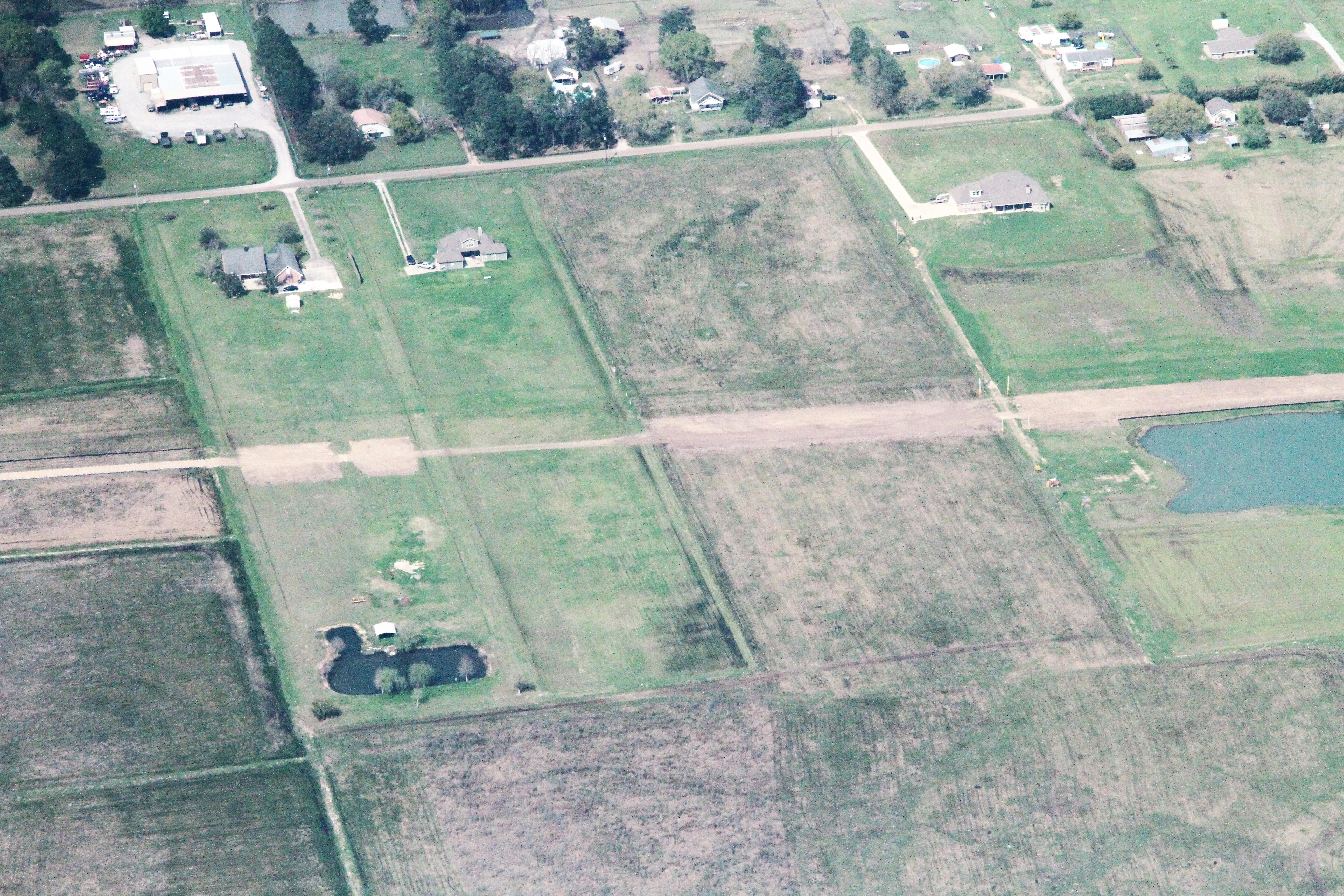
Up Front

Bug's Eye View
A frog's eye view
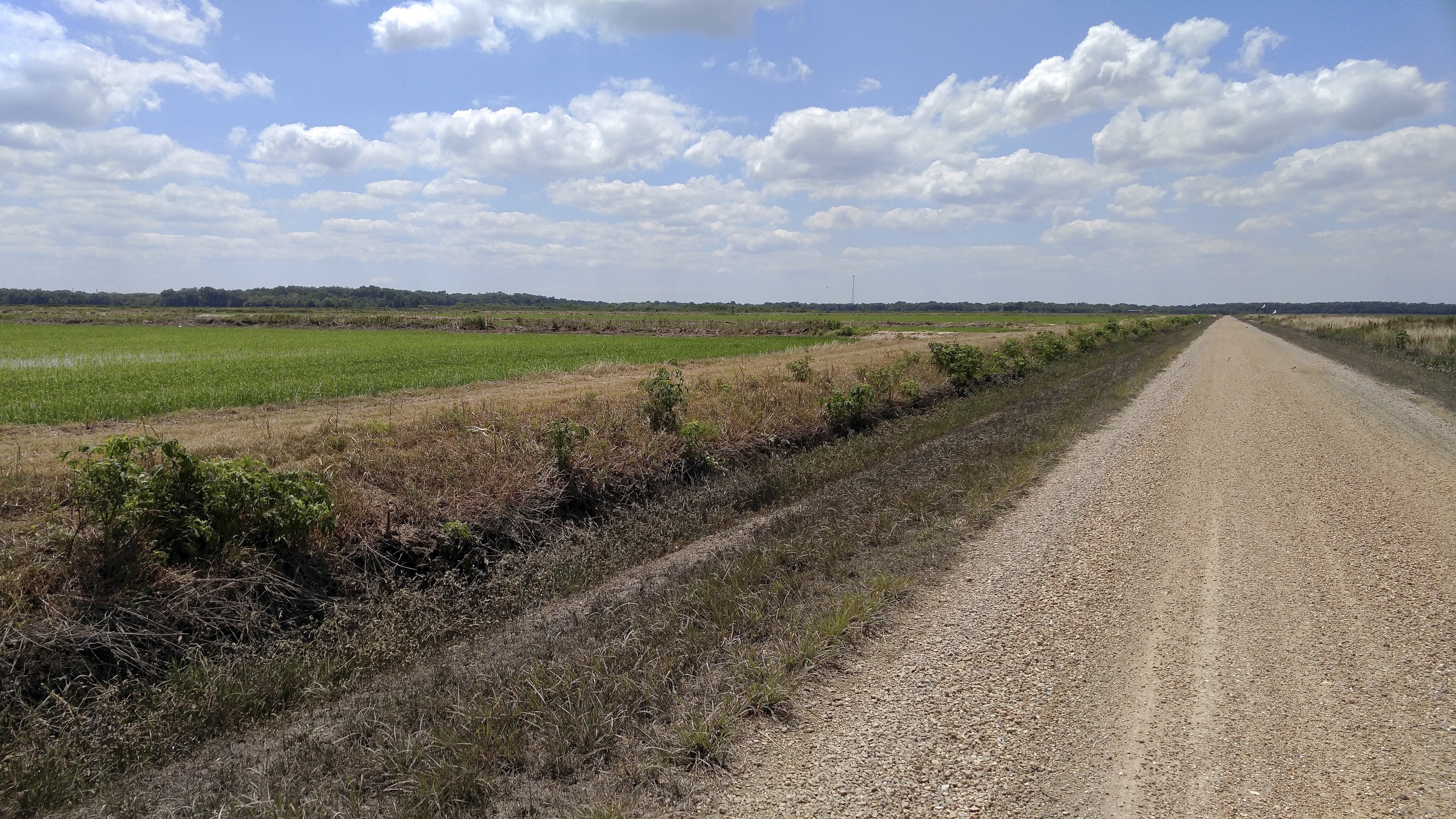
Toups Rd.
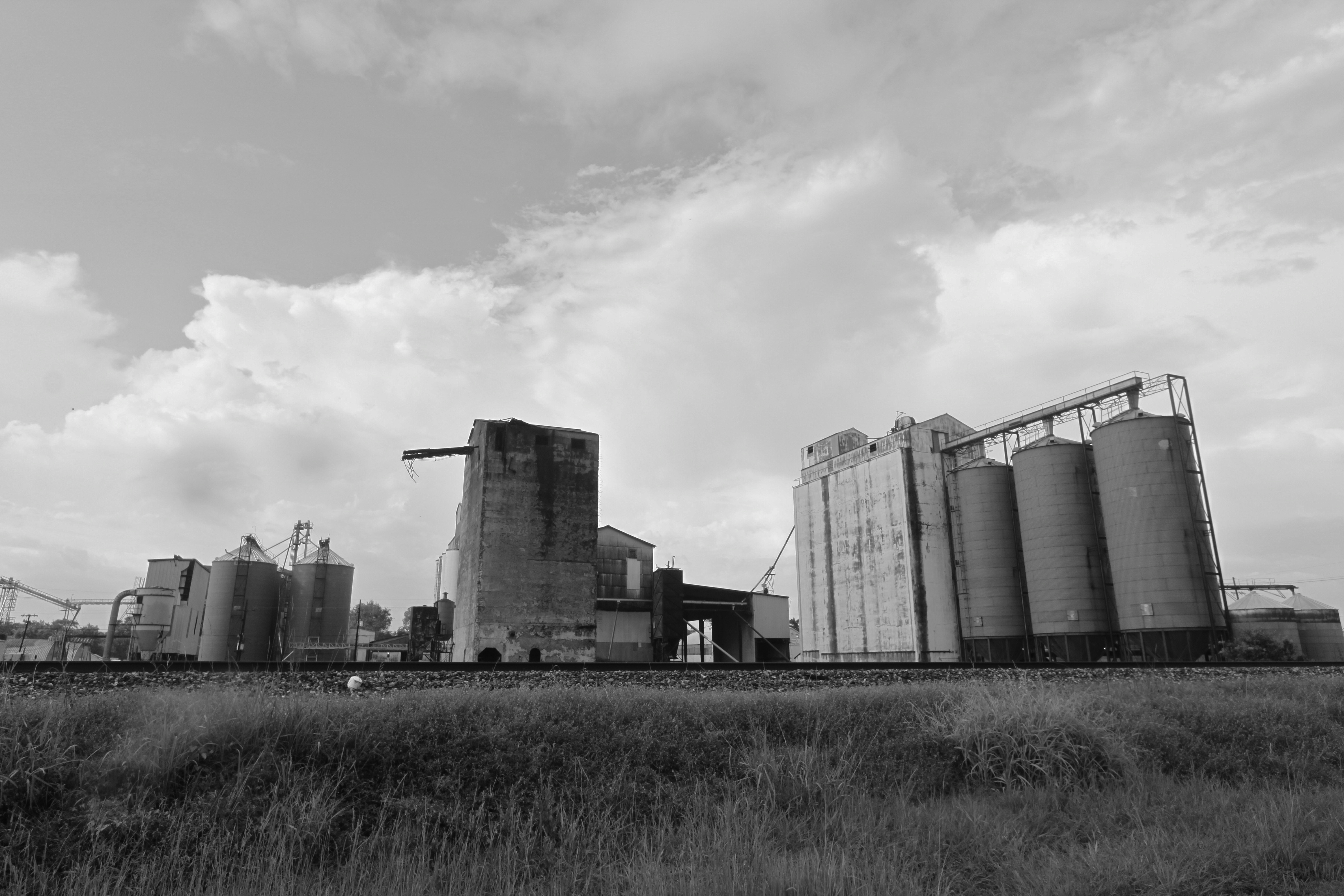
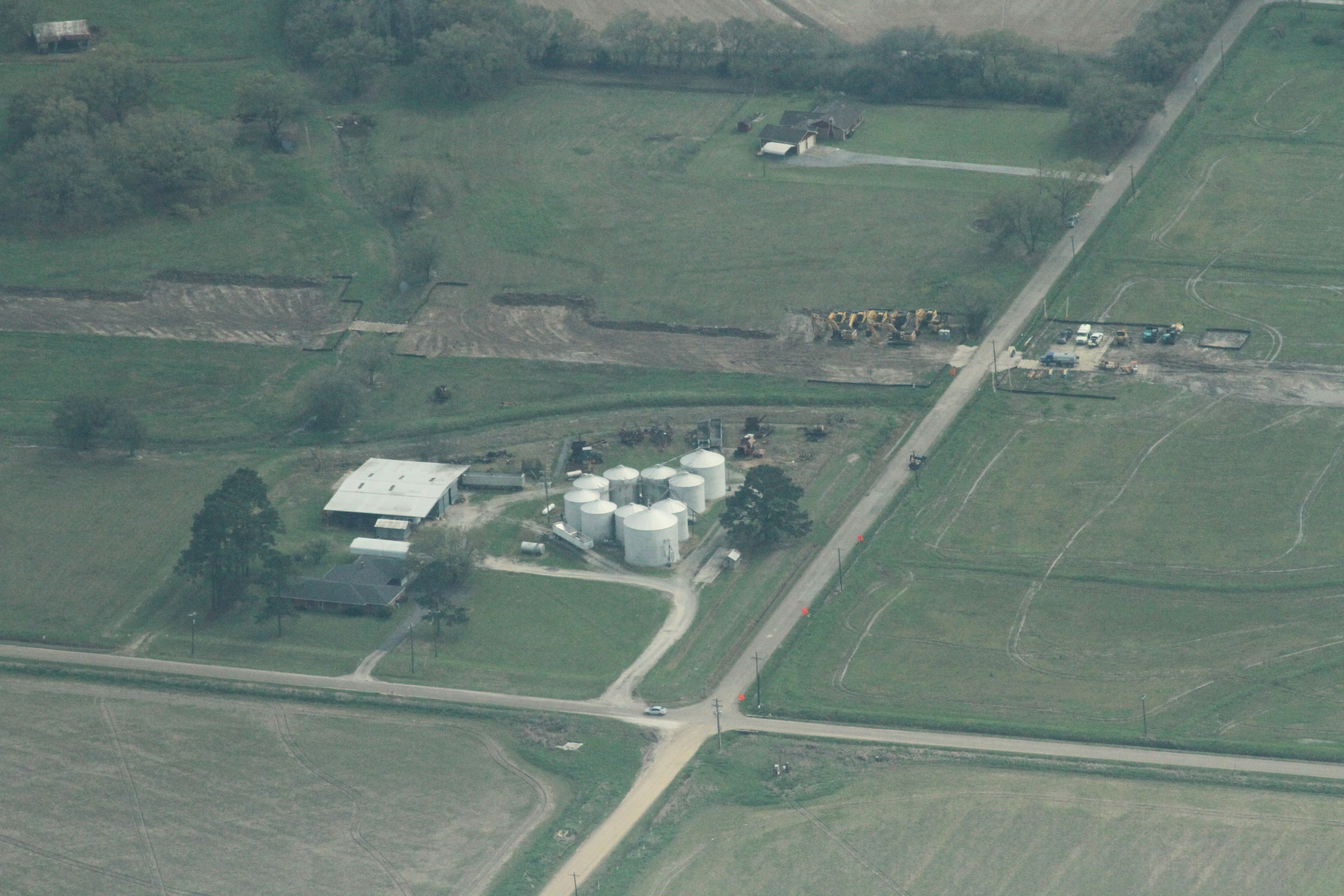
Rice elevators, Rayne LA
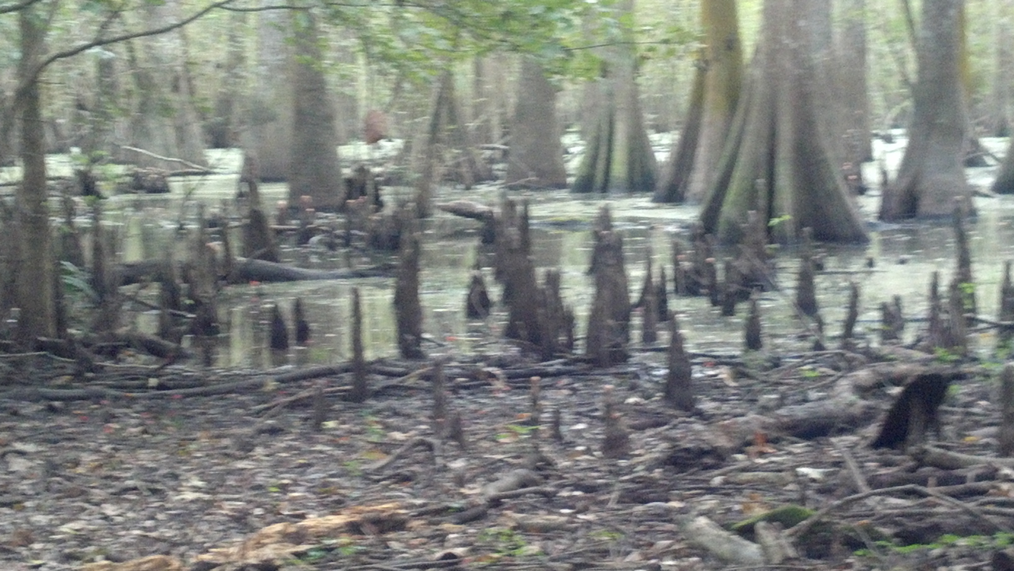
Cypress Forest
a IMG_4435 indian bayou
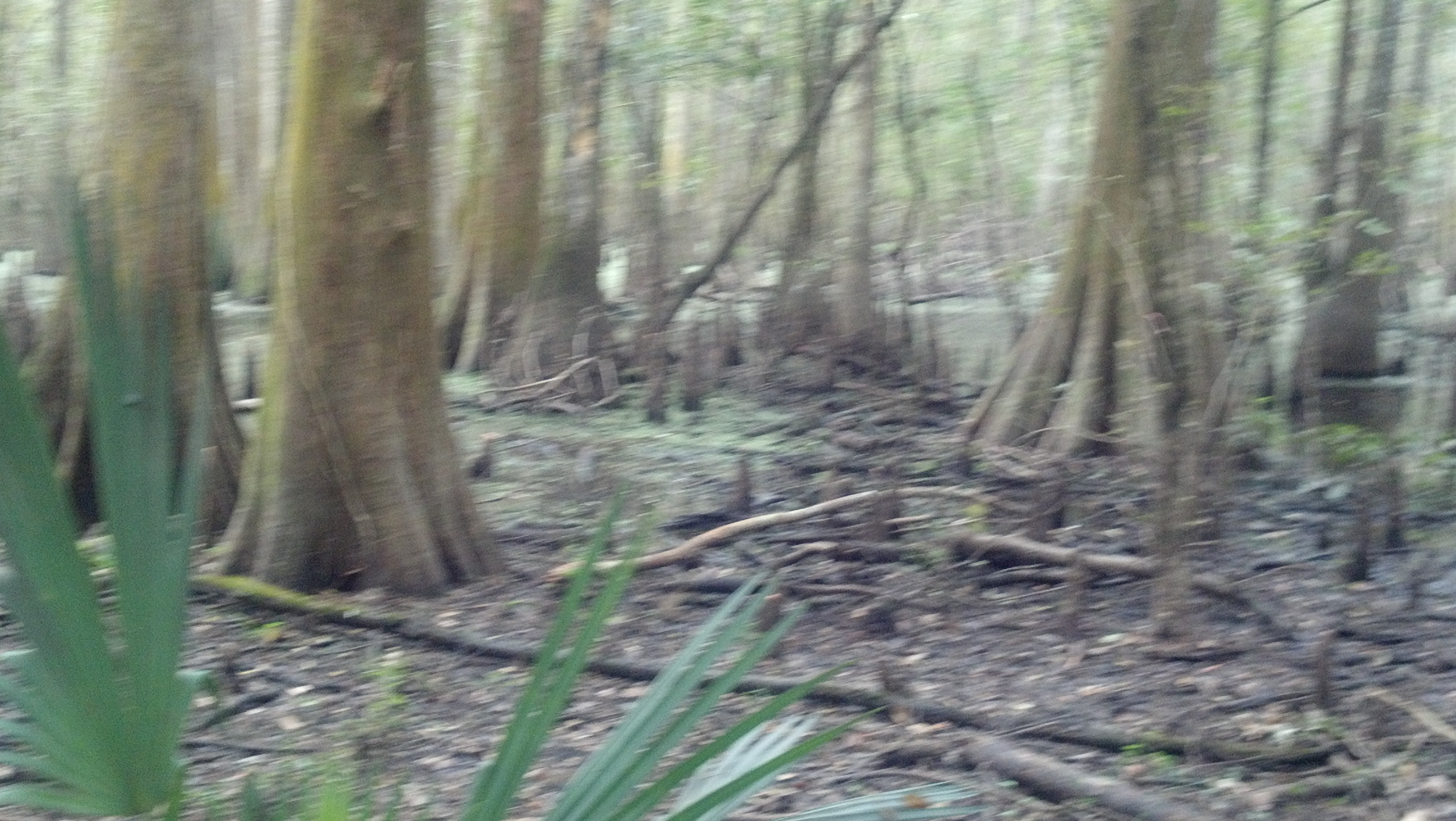
Cypress Forest
Crowley WTP
a IMG_4464 (2) crowley staging
a IMG_4452 (2)
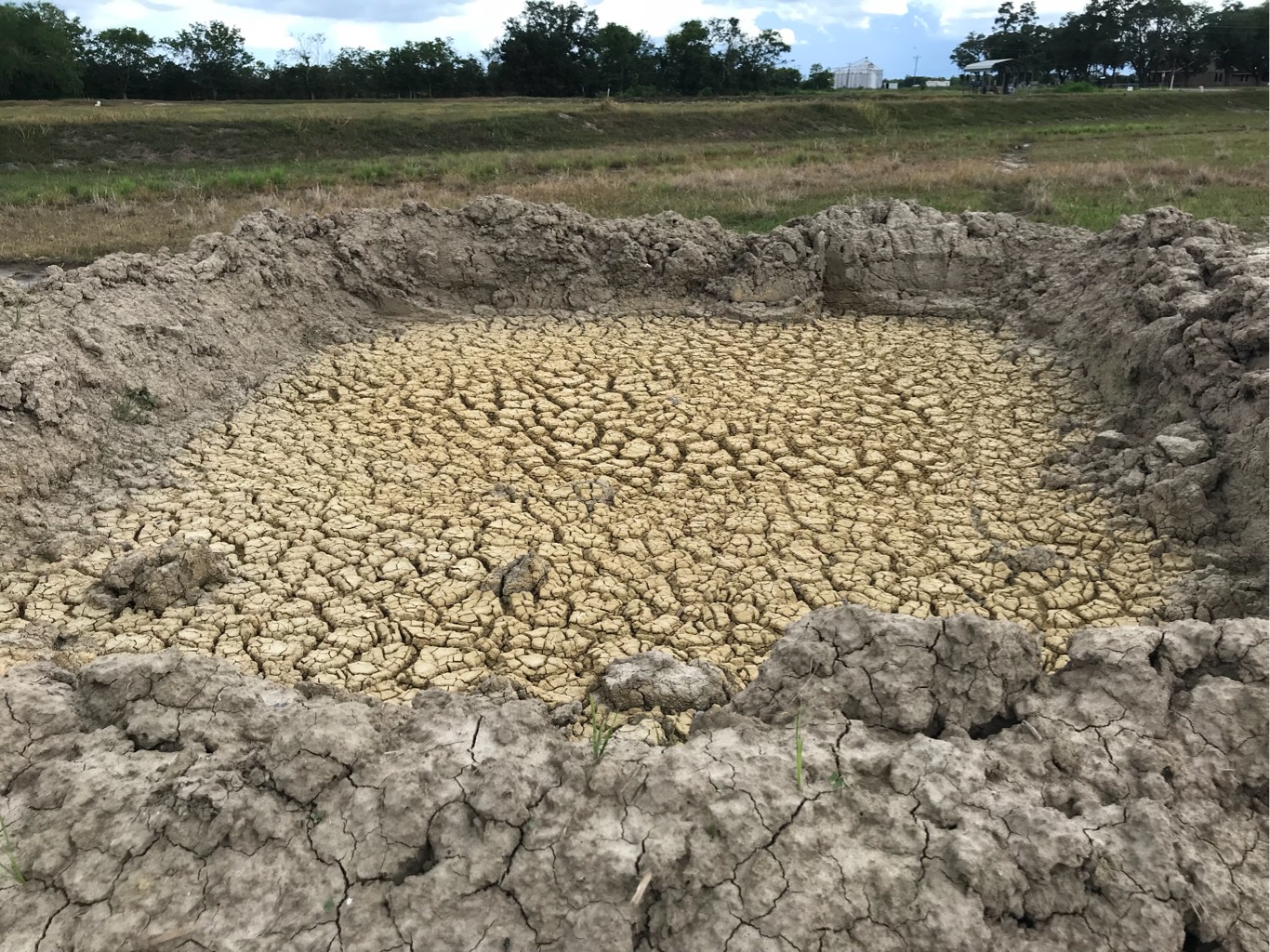
a IMG_4487 (2) crowley topsoil separation

Aspen Rd.
Crowley WTP
Roy Rd.
SP3VE080 Bore Pit MP 68.6 hwy 35 near Honey Man Rd
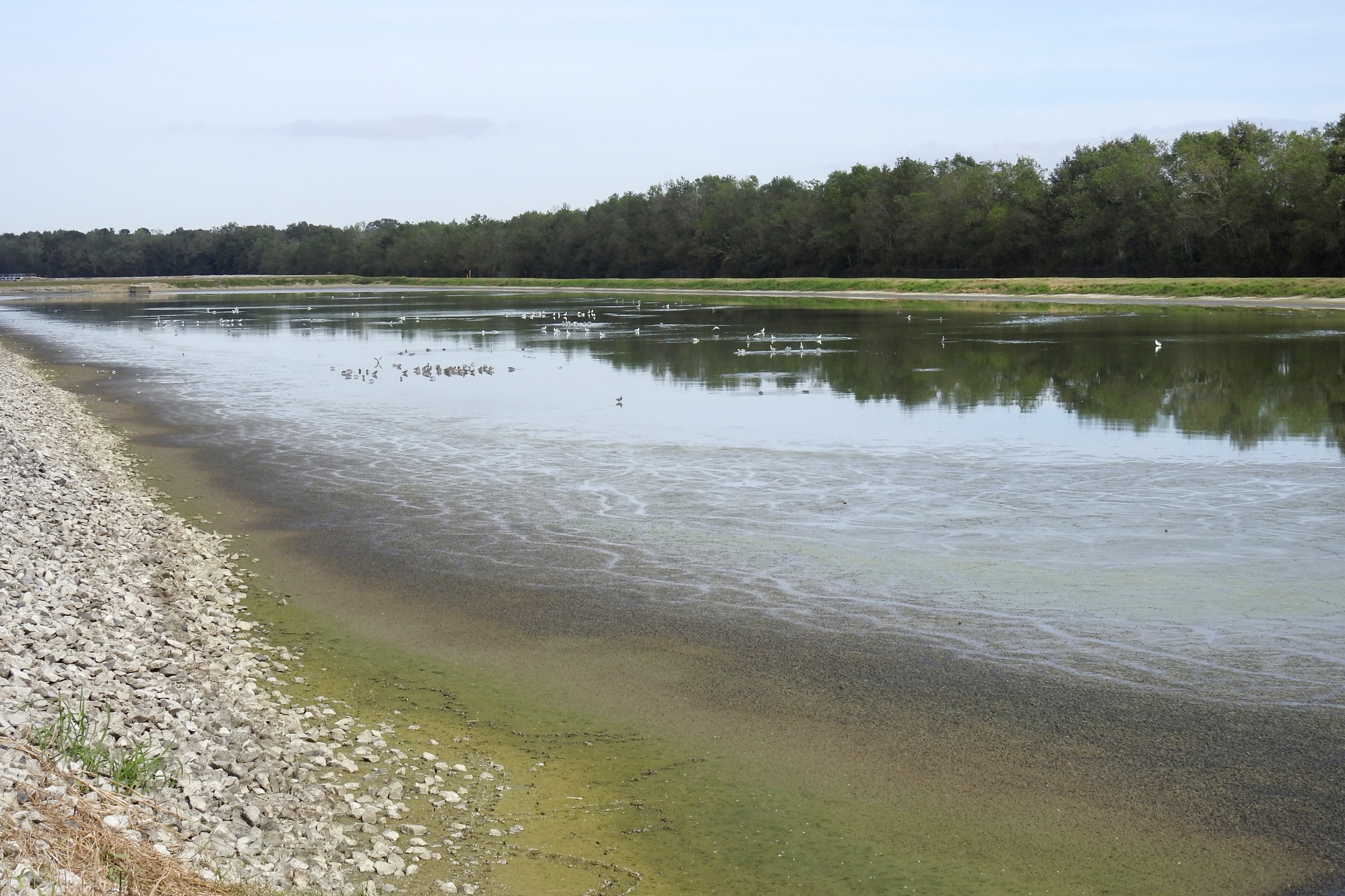
Rayne WTP
Fabacher Rd.
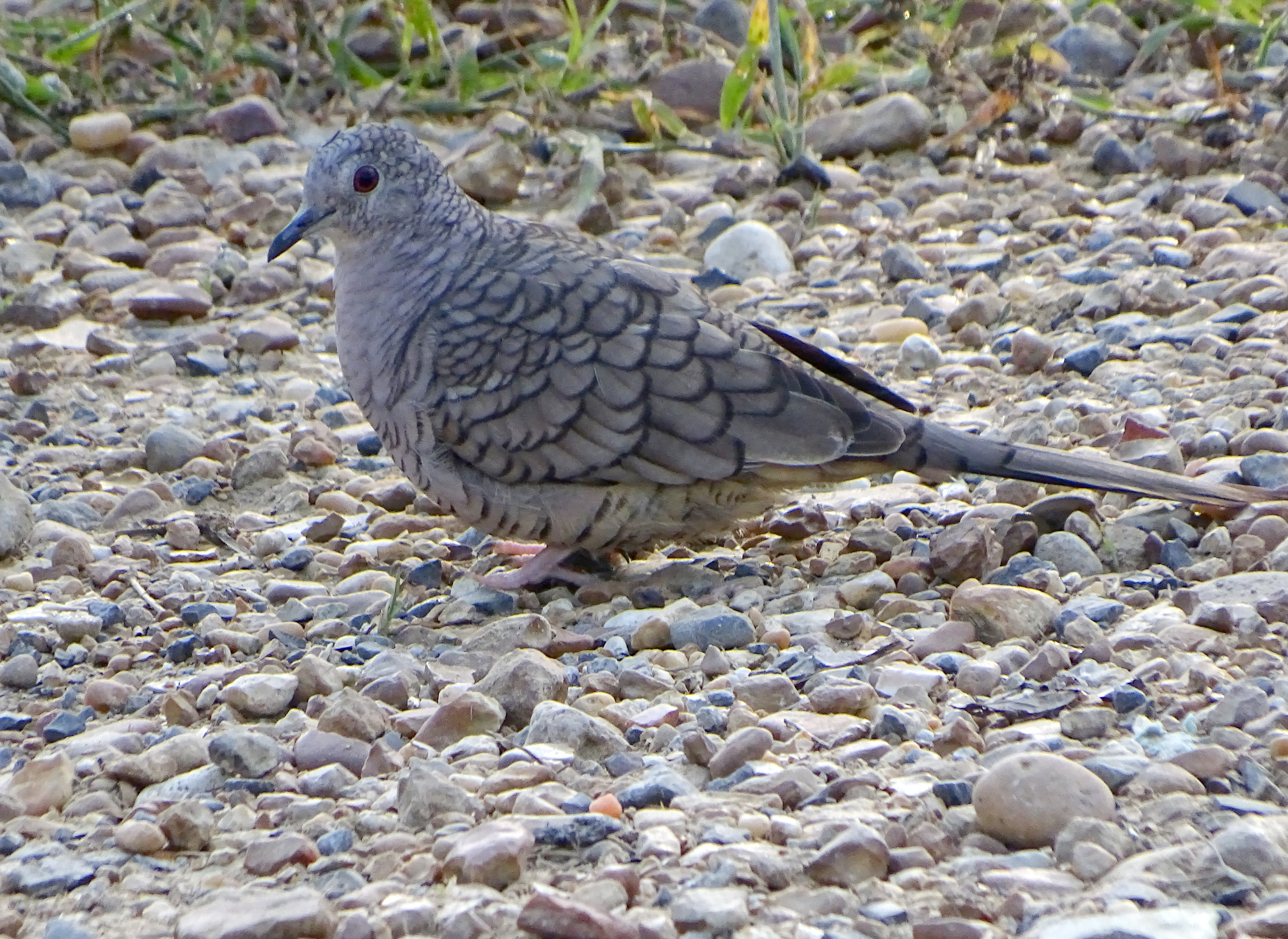
Columbina incaDFL la17
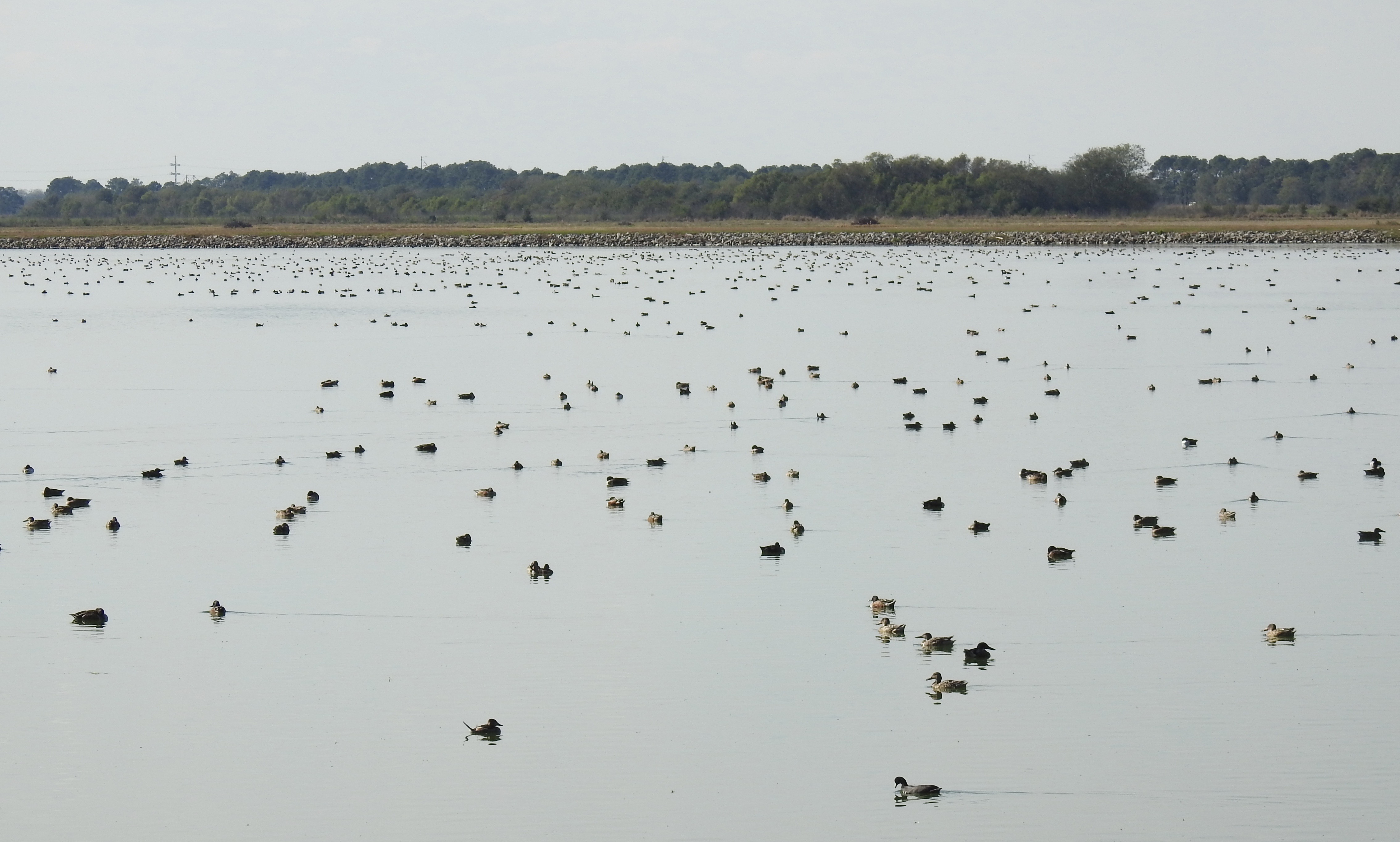
a IMG_4420 indian bayou
Crowley WTP
Pipeline takes a cut of the american dream
a IMG_4439 (2) crowley
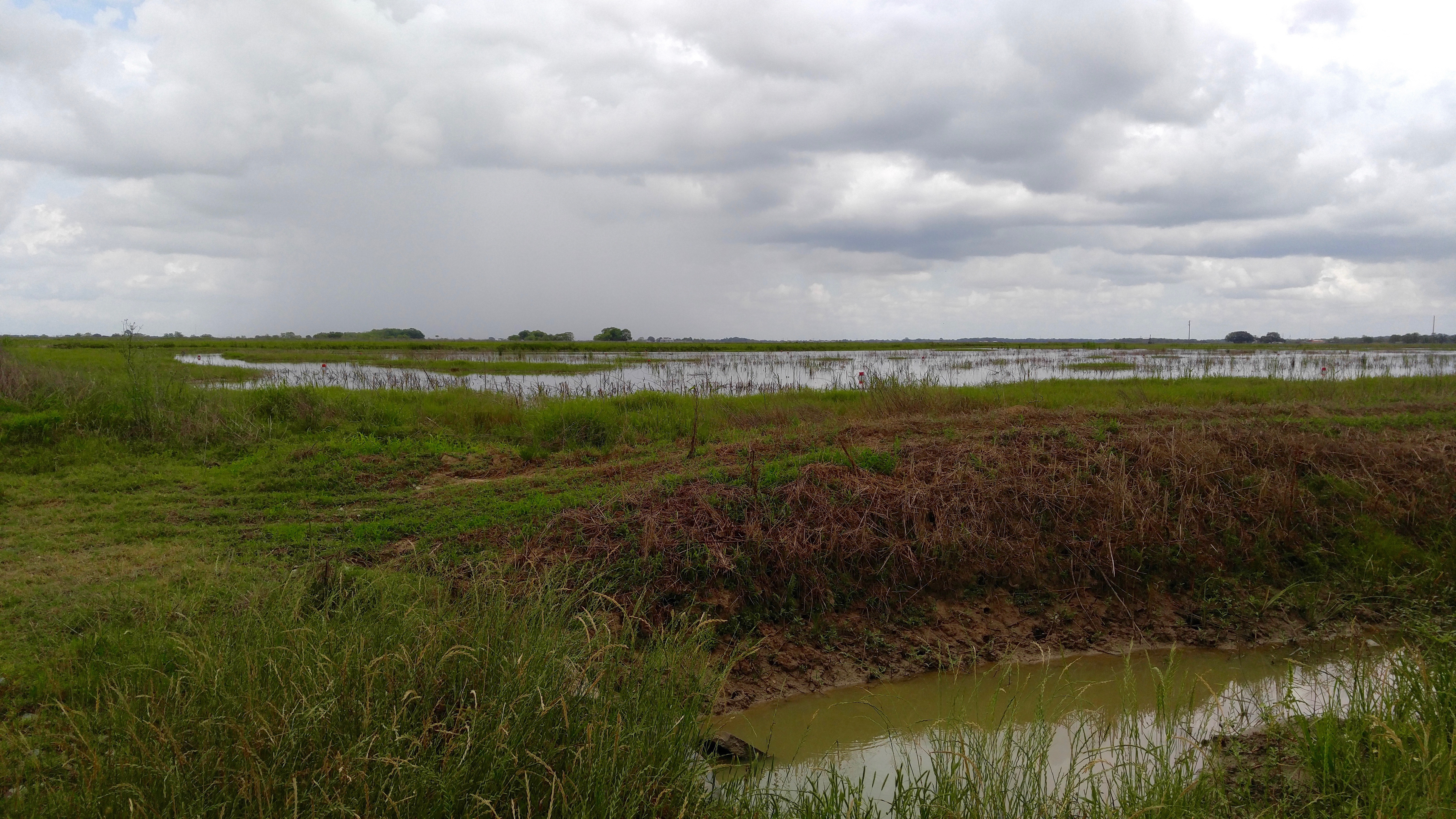
LSU Rice Research Station
Topographic Map of E Lovell St, Crowley, LA, USA
Find elevation by address:

Places near E Lovell St, Crowley, LA, USA:
627 E Ash St
1024 S Ave G
1024 S Ave G
1024 S Ave G
1019 S Parkerson Ave
Crowley, LA, USA
536 S Ave O
315 N Ave H
616 E 4th St
519 N Ave K
575 N Ave J
148 Gulf Rose Dr
253 Blue Bonnet Dr
717 E 6th St
1025 E 5th St
718 E 11th St
1124 Crawford Ave
1127 Wright Ave
2528 Lovell St
605 Odd Fellows Rd
Recent Searches:
- Elevation of Corso Fratelli Cairoli, 35, Macerata MC, Italy
- Elevation of Tallevast Rd, Sarasota, FL, USA
- Elevation of 4th St E, Sonoma, CA, USA
- Elevation of Black Hollow Rd, Pennsdale, PA, USA
- Elevation of Oakland Ave, Williamsport, PA, USA
- Elevation of Pedrógão Grande, Portugal
- Elevation of Klee Dr, Martinsburg, WV, USA
- Elevation of Via Roma, Pieranica CR, Italy
- Elevation of Tavkvetili Mountain, Georgia
- Elevation of Hartfords Bluff Cir, Mt Pleasant, SC, USA