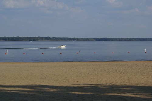
Elevation of E Lindell St, West Frankfort, IL, USA
Location: United States > Illinois > Franklin County > Denning Township > West Frankfort >
Longitude: -88.915003
Latitude: 37.9007407
Elevation: 127m / 417feet
Barometric Pressure: 100KPa
Related Photos:
Topographic Map of E Lindell St, West Frankfort, IL, USA
Find elevation by address:

Places near E Lindell St, West Frankfort, IL, USA:
West Frankfort
W Main St, West Frankfort, IL, USA
Deering Rd, West Frankfort, IL, USA
10775 Co Hwy 26
Jackson St, Orient, IL, USA
Orient
IL-, West Frankfort, IL, USA
401 W 12th St
Johnston City
Washington Ave, Johnston City, IL, USA
Lake Creek Precinct
Denning Township
6498 Union St
Logan
13818 Fowler School Rd
7520 Yellow Banks Rd
7500 Co Hwy 11
Herrin Precinct
12882 Il-37
E Mine B Rd, Herrin, IL, USA
Recent Searches:
- Elevation of Corso Fratelli Cairoli, 35, Macerata MC, Italy
- Elevation of Tallevast Rd, Sarasota, FL, USA
- Elevation of 4th St E, Sonoma, CA, USA
- Elevation of Black Hollow Rd, Pennsdale, PA, USA
- Elevation of Oakland Ave, Williamsport, PA, USA
- Elevation of Pedrógão Grande, Portugal
- Elevation of Klee Dr, Martinsburg, WV, USA
- Elevation of Via Roma, Pieranica CR, Italy
- Elevation of Tavkvetili Mountain, Georgia
- Elevation of Hartfords Bluff Cir, Mt Pleasant, SC, USA


