Elevation of E Justica St, Cave Creek, AZ, USA
Location: United States > Arizona > Maricopa County > Cave Creek > Desert View Village >
Longitude: -111.972999
Latitude: 33.7575096
Elevation: 586m / 1923feet
Barometric Pressure: 0KPa
Related Photos:

Dodge Challenger SRT, pulled over on the 101

View of Four Peaks with a #fourpeaks Kiltlifter. Lake life is the good life!

Beautific Street Art with Palo Verde Tree: Bronze Statue, Day Side of "Night and Day," View to South, Scottsdale, AZ
Another beautiful view from #pinnaclepeak hike this morning
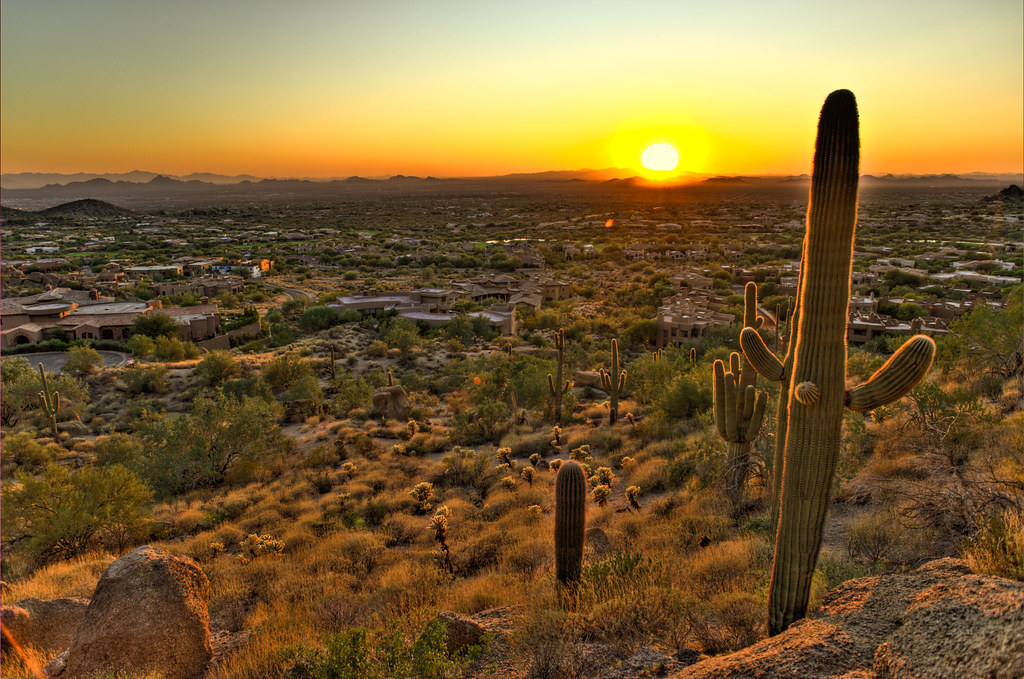
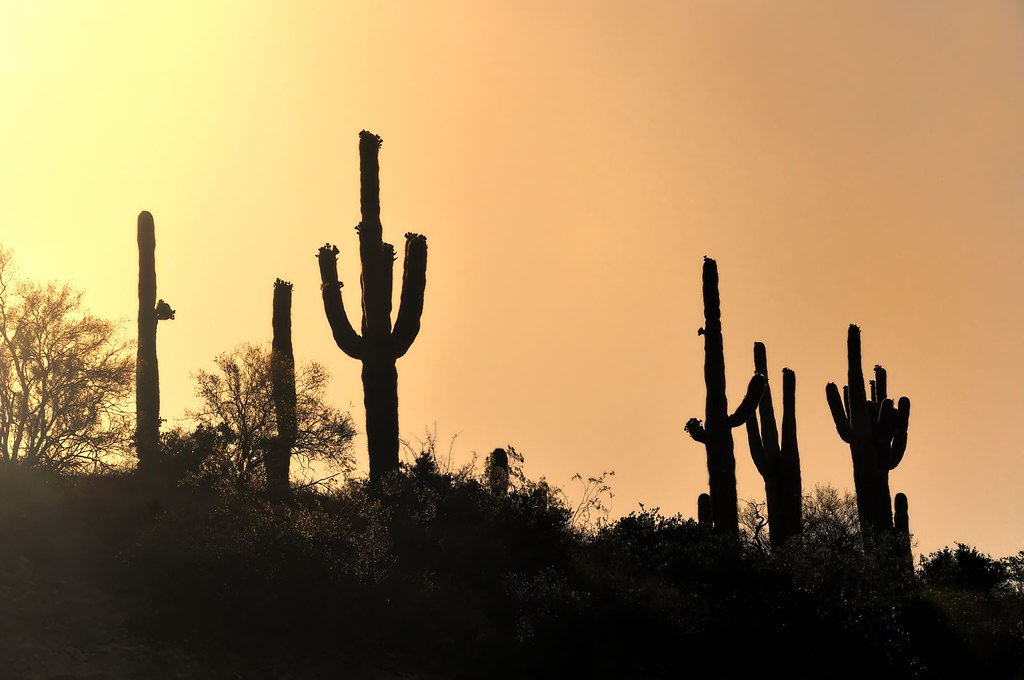
Cactus Sunset
Arizona Life
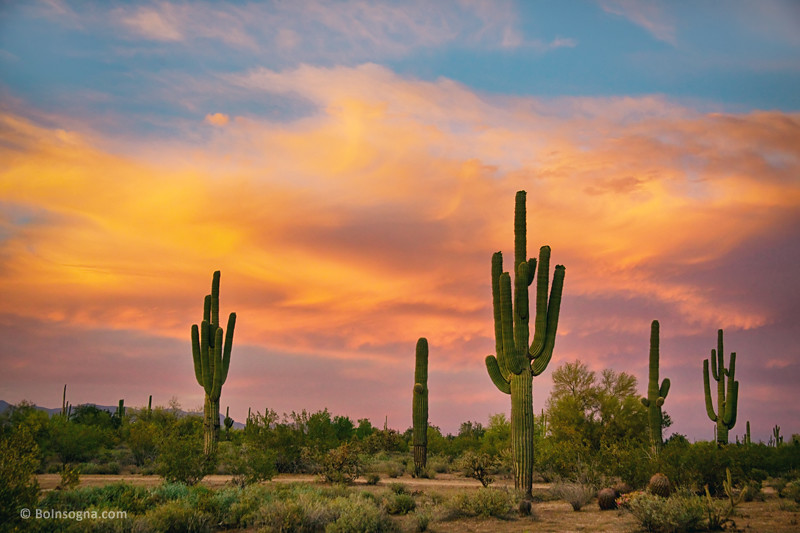
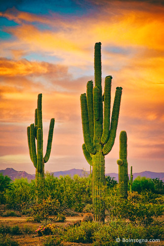
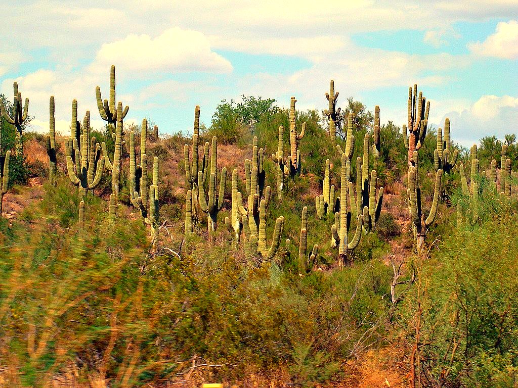
Saguaro Desert Life
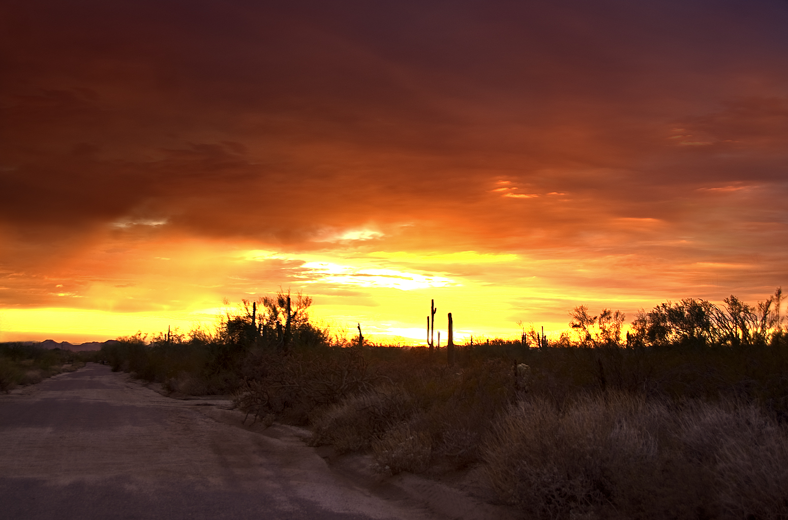
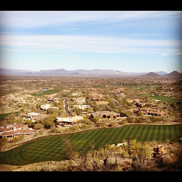
The Middle Of Nowhere Shows Its Good Side

May 2012 solar eclipse peak from Phoenix, Arizona, USA

Cool Retro Diner Arrow Sign: Big Earl's Greasy Eats, Cave Creek, Close-up, West View

"Saguaro You Here?"--pun by Paul Ewing and Tim Lefler

Elephant Mountain Sunrise
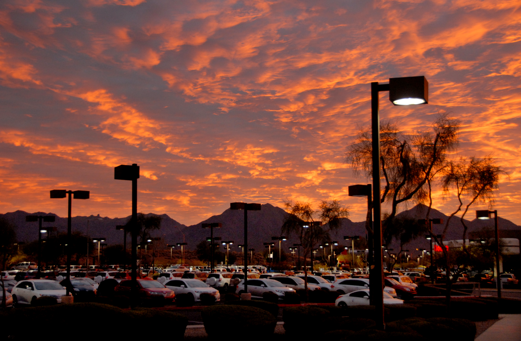
dealership daybreak _ scottsdale, arizona
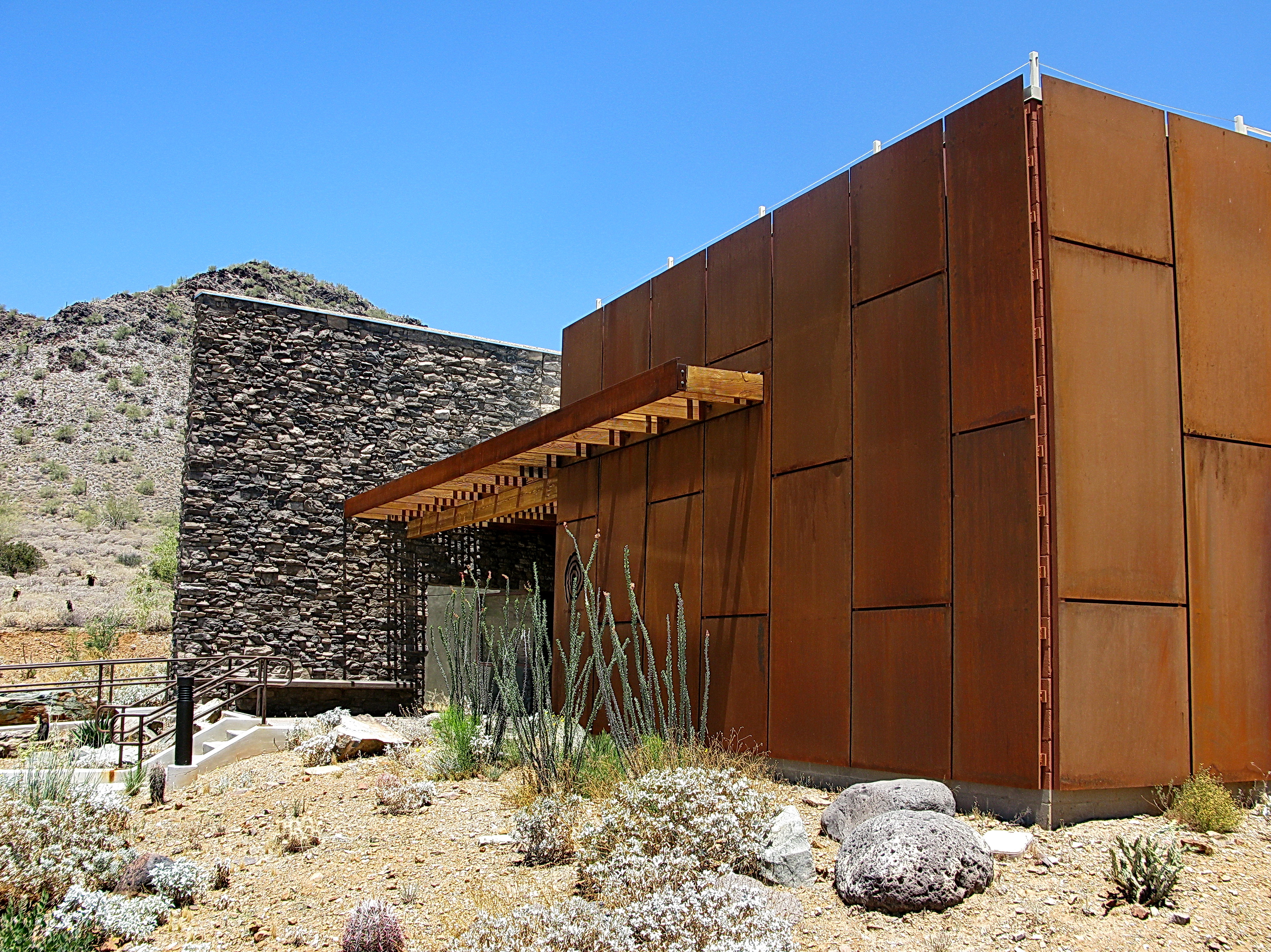
Cave Creek Recreation Area Nature Center

Cool Retro AZ Diner Sign: Big Earl's Greasy Eats, Cave Creek, View to the East
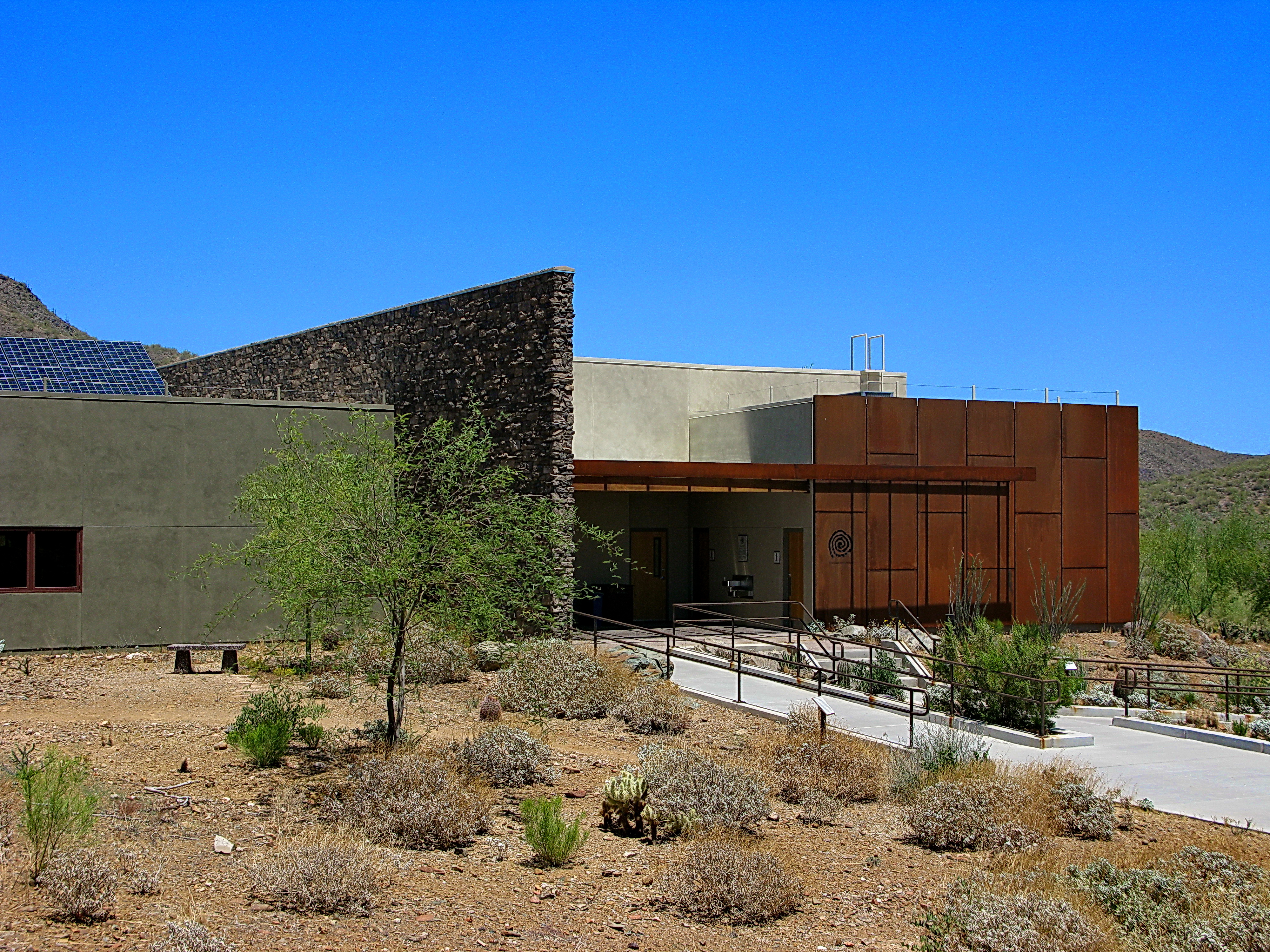
Cave Creek Recreation Area Nature Center
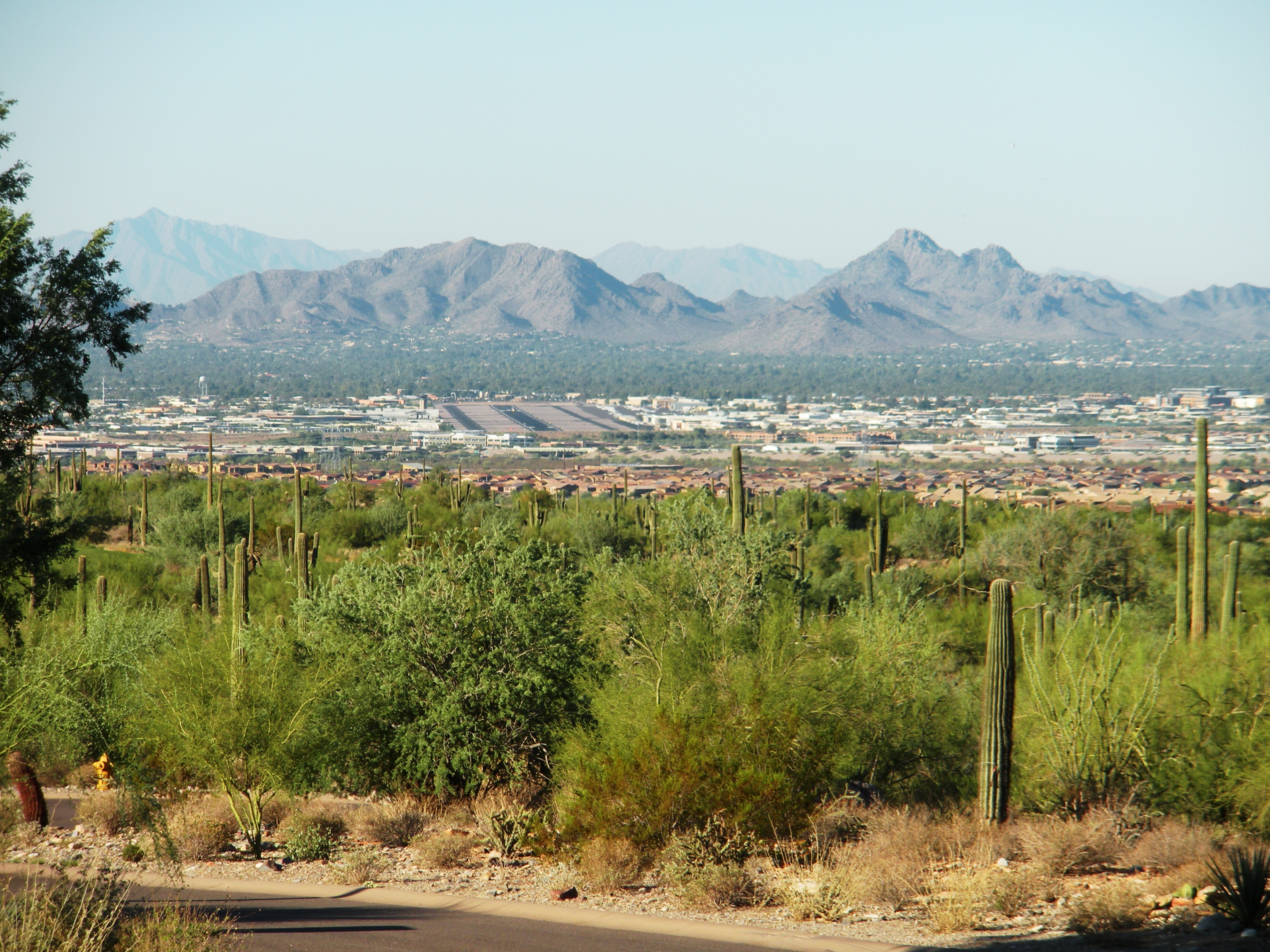
Neighborhood Overlooking the Scottsdale, AZ Airport

Harmony Hollow Ranch - whimsical fence - Cave Creek

Sugarloaf Mountain and Skull Mesa from Black Mesa Trail - Spur Cross
Desert Forest

Zebra-tailed Lizard

Westin Scottsdale Arizona Fireworks
Welcome to Arizona. Here's a (tone)Map of the Area!

McDowell Sonoran Preserve, Scotsdale Arizona
farewell cave creek
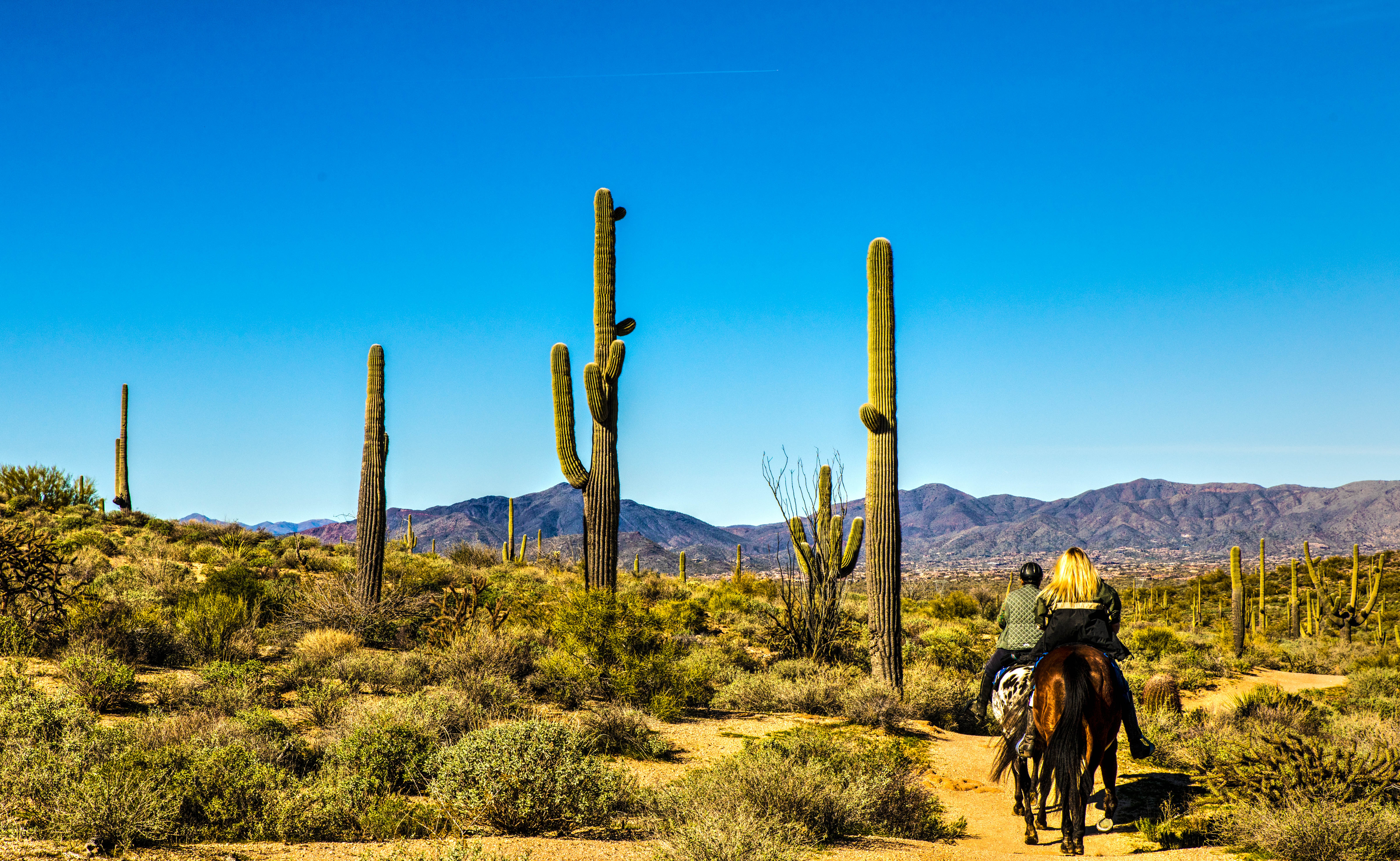
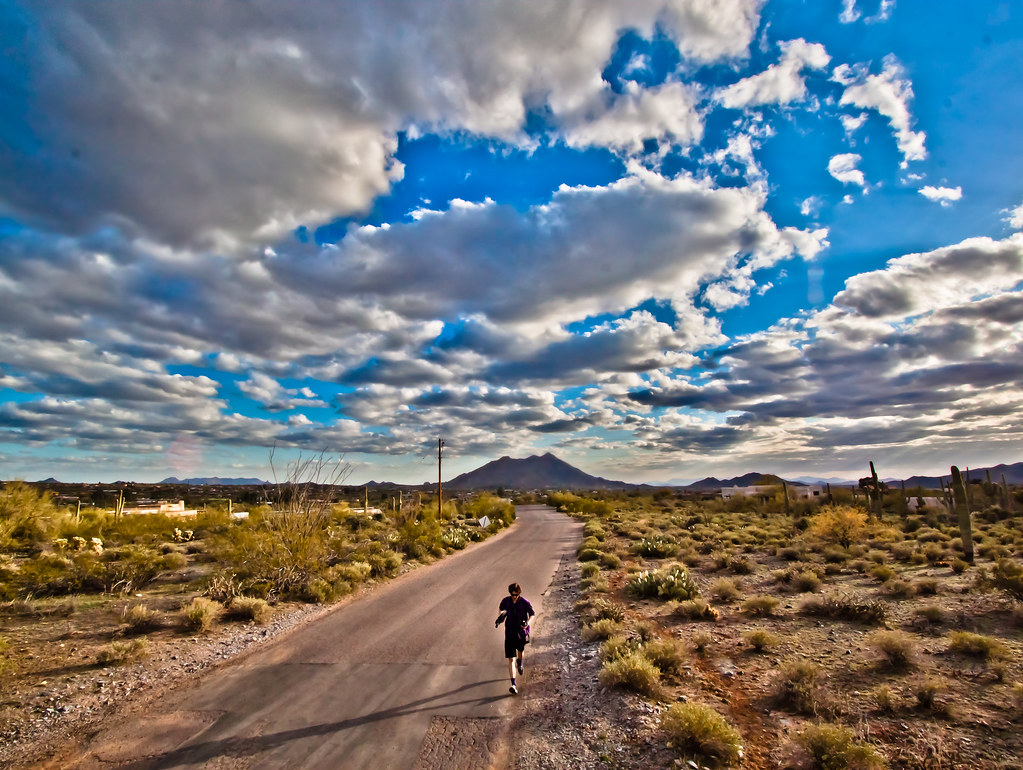
Hoofing It On A Sunday Afternoon
2018-07-28_08-12-47

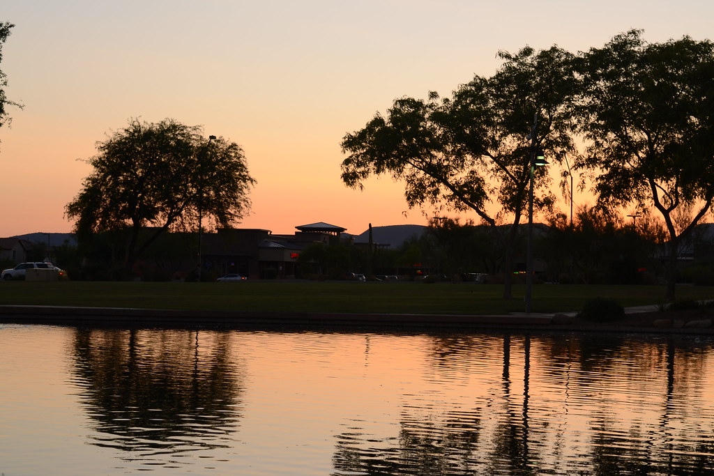
Arizona sunset

Pinnacle Peak from Greasewood Flats
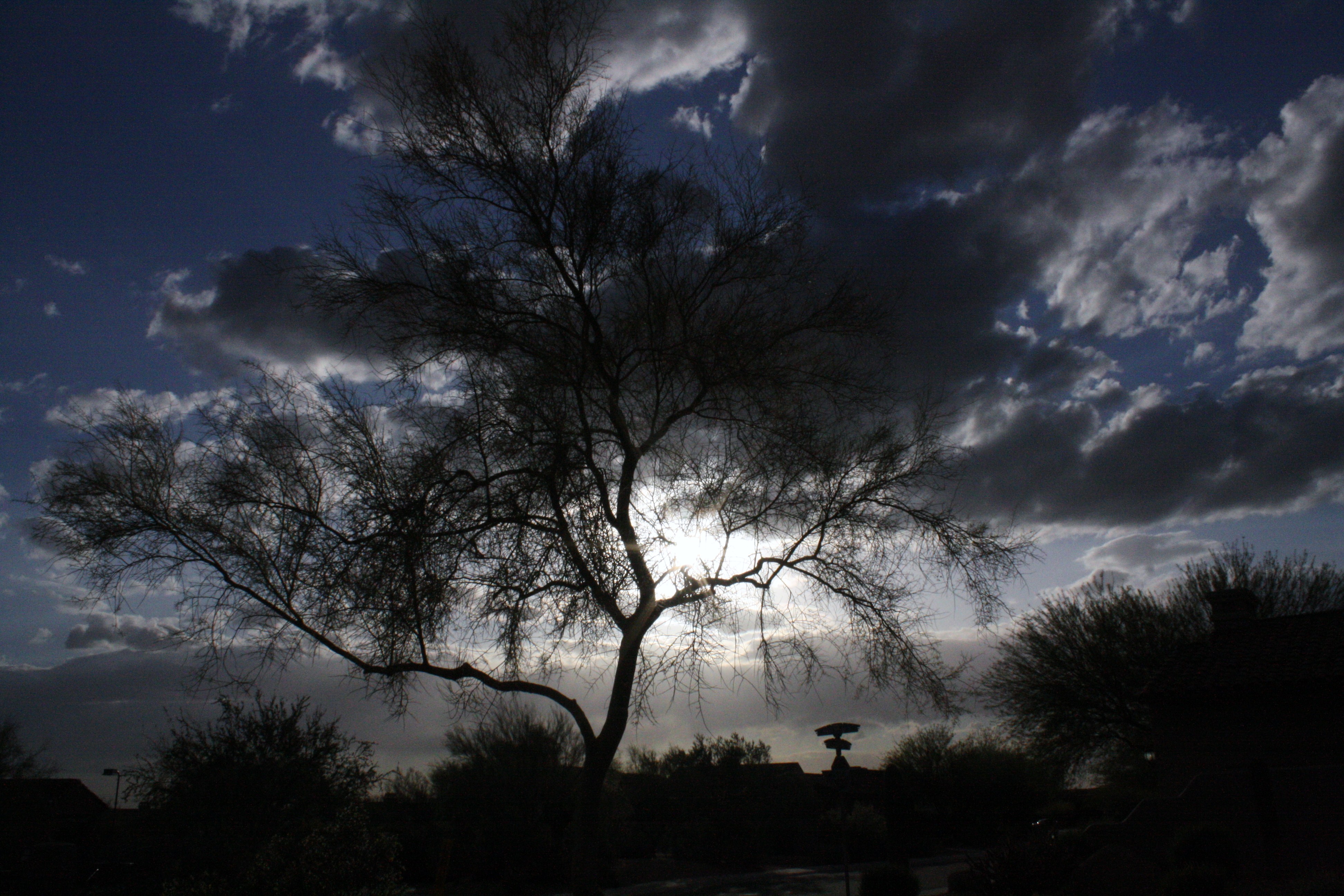
trees/ clouds

Pinnacle Peak

DSC_4813-Pano
Phoenix, Arizona

DSC_4827-Edit
Anthem Sunset
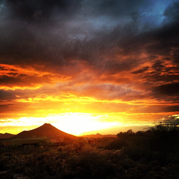
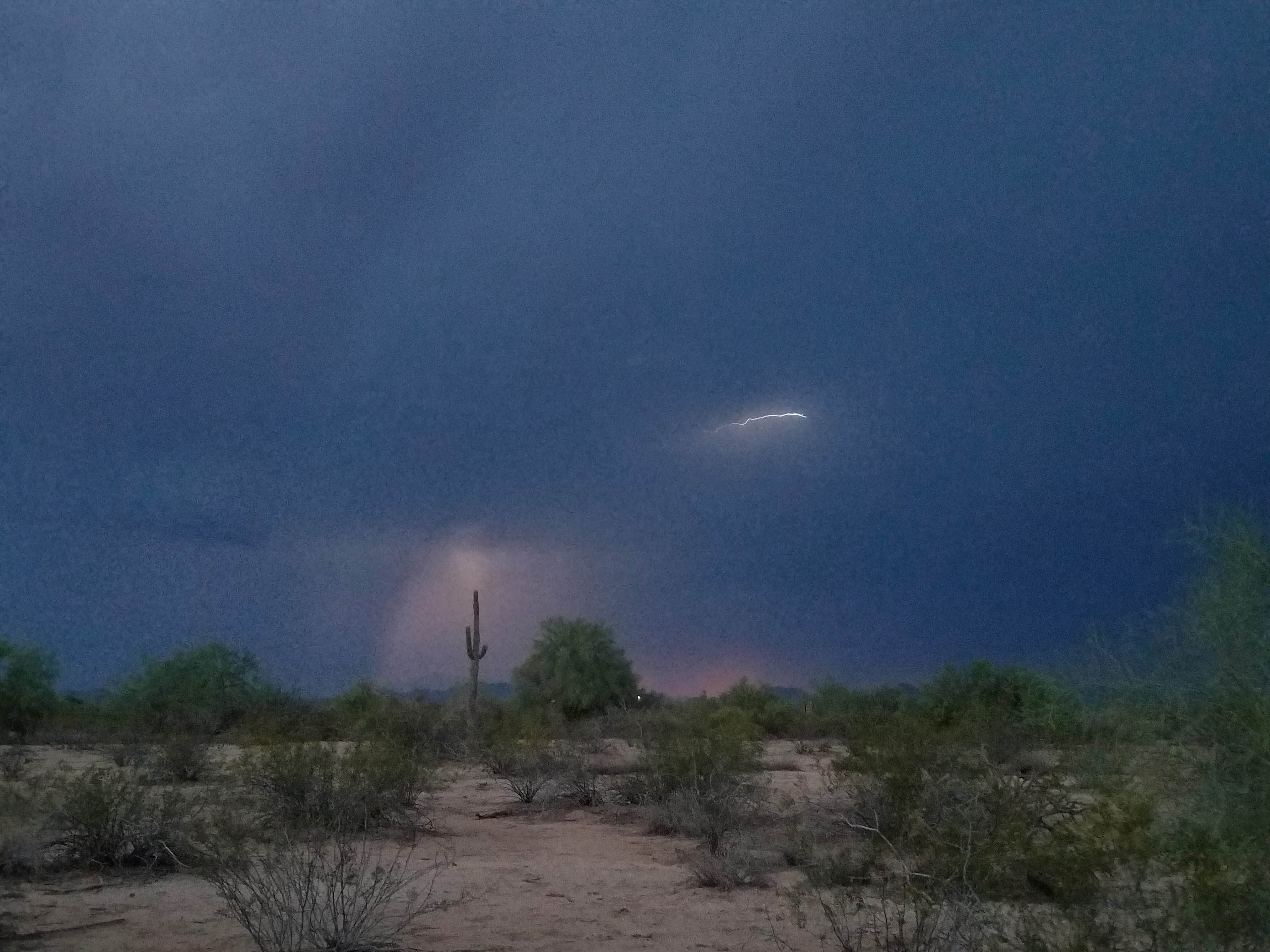
Sky on fire.

The evening view from Black Mountain.
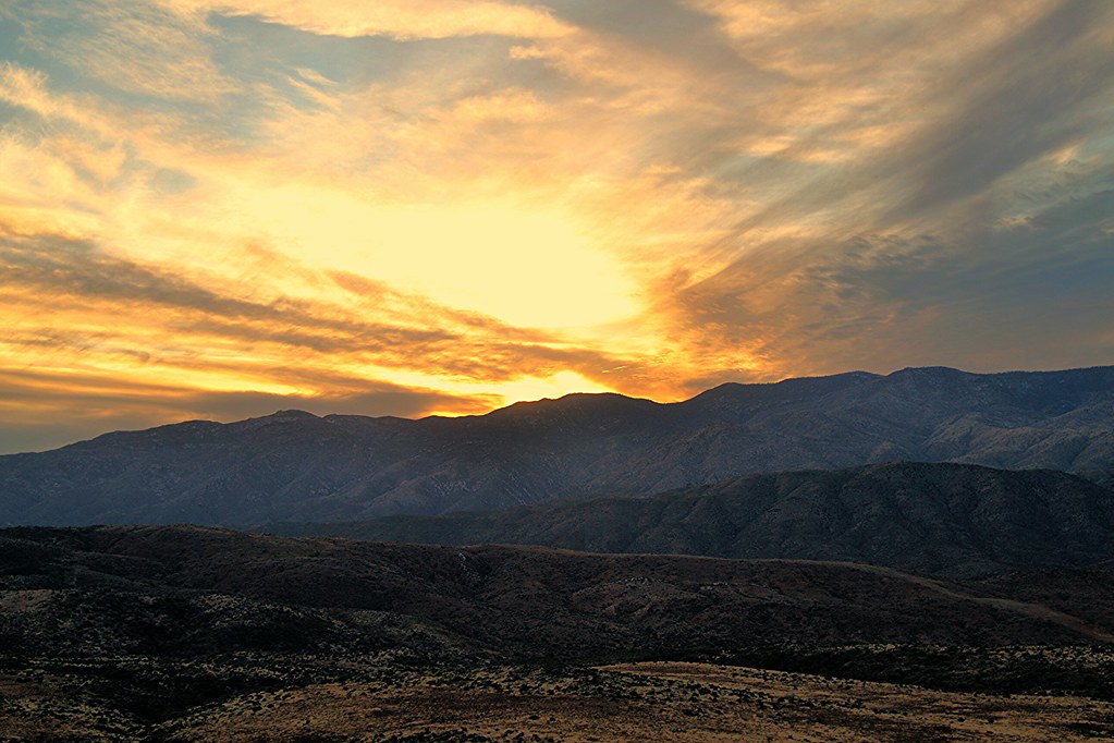
I 17 Sunset point

Sunrise from Lone Mountain

I'm the mayor! @foursquare @golfchannel @golfdigestmag @WMPhoenixopen #greatestshowongrass
Topographic Map of E Justica St, Cave Creek, AZ, USA
Find elevation by address:

Places near E Justica St, Cave Creek, AZ, USA:
E Baker Dr, Cave Creek, AZ, USA
4818 E Palo Brea Ln
4801 E Windstone Trail
29050 N 50th Pl
29507 N 53rd St
Desert Foothills North
4722 E Casey Ln
30834 N 47th Pl
4607 E Hunter Ct
Tatum Ranch
31241 N 49th St
29841 N 43rd Way
5646 E Dixileta Dr
16309 Calle De Los Flores
30411 N 43rd St
4214 E Rancho Tierra Dr
5525 E Calle Del Sol
4805 E Lonesome Trail
6032 E Duane Ln
5714 E Ashler Hills Dr
Recent Searches:
- Elevation map of Greenland, Greenland
- Elevation of Sullivan Hill, New York, New York, 10002, USA
- Elevation of Morehead Road, Withrow Downs, Charlotte, Mecklenburg County, North Carolina, 28262, USA
- Elevation of 2800, Morehead Road, Withrow Downs, Charlotte, Mecklenburg County, North Carolina, 28262, USA
- Elevation of Yangbi Yi Autonomous County, Yunnan, China
- Elevation of Pingpo, Yangbi Yi Autonomous County, Yunnan, China
- Elevation of Mount Malong, Pingpo, Yangbi Yi Autonomous County, Yunnan, China
- Elevation map of Yongping County, Yunnan, China
- Elevation of North 8th Street, Palatka, Putnam County, Florida, 32177, USA
- Elevation of 107, Big Apple Road, East Palatka, Putnam County, Florida, 32131, USA
- Elevation of Jiezi, Chongzhou City, Sichuan, China
- Elevation of Chongzhou City, Sichuan, China
- Elevation of Huaiyuan, Chongzhou City, Sichuan, China
- Elevation of Qingxia, Chengdu, Sichuan, China
- Elevation of Corso Fratelli Cairoli, 35, Macerata MC, Italy
- Elevation of Tallevast Rd, Sarasota, FL, USA
- Elevation of 4th St E, Sonoma, CA, USA
- Elevation of Black Hollow Rd, Pennsdale, PA, USA
- Elevation of Oakland Ave, Williamsport, PA, USA
- Elevation of Pedrógão Grande, Portugal