Elevation of E Hidden Valley Rd, Scottsdale, AZ, USA
Location: United States > Arizona > Maricopa County > Scottsdale > Desert Mountain, Phase I >
Longitude: -111.86642
Latitude: 33.832273
Elevation: 861m / 2825feet
Barometric Pressure: 91KPa
Elevation Map:
Satellite Map:
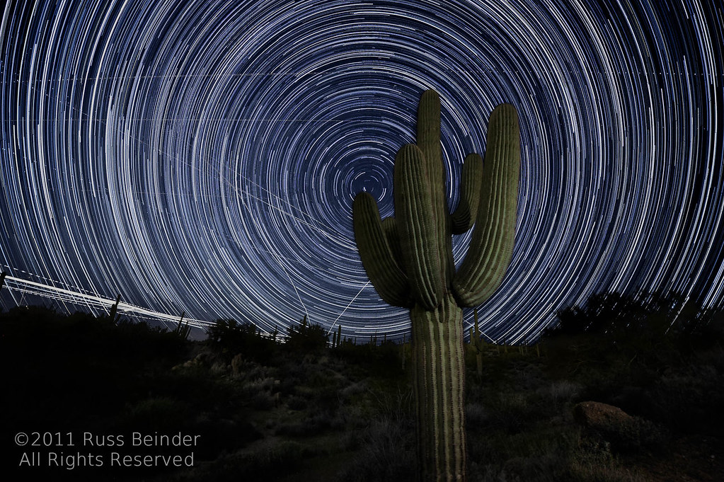
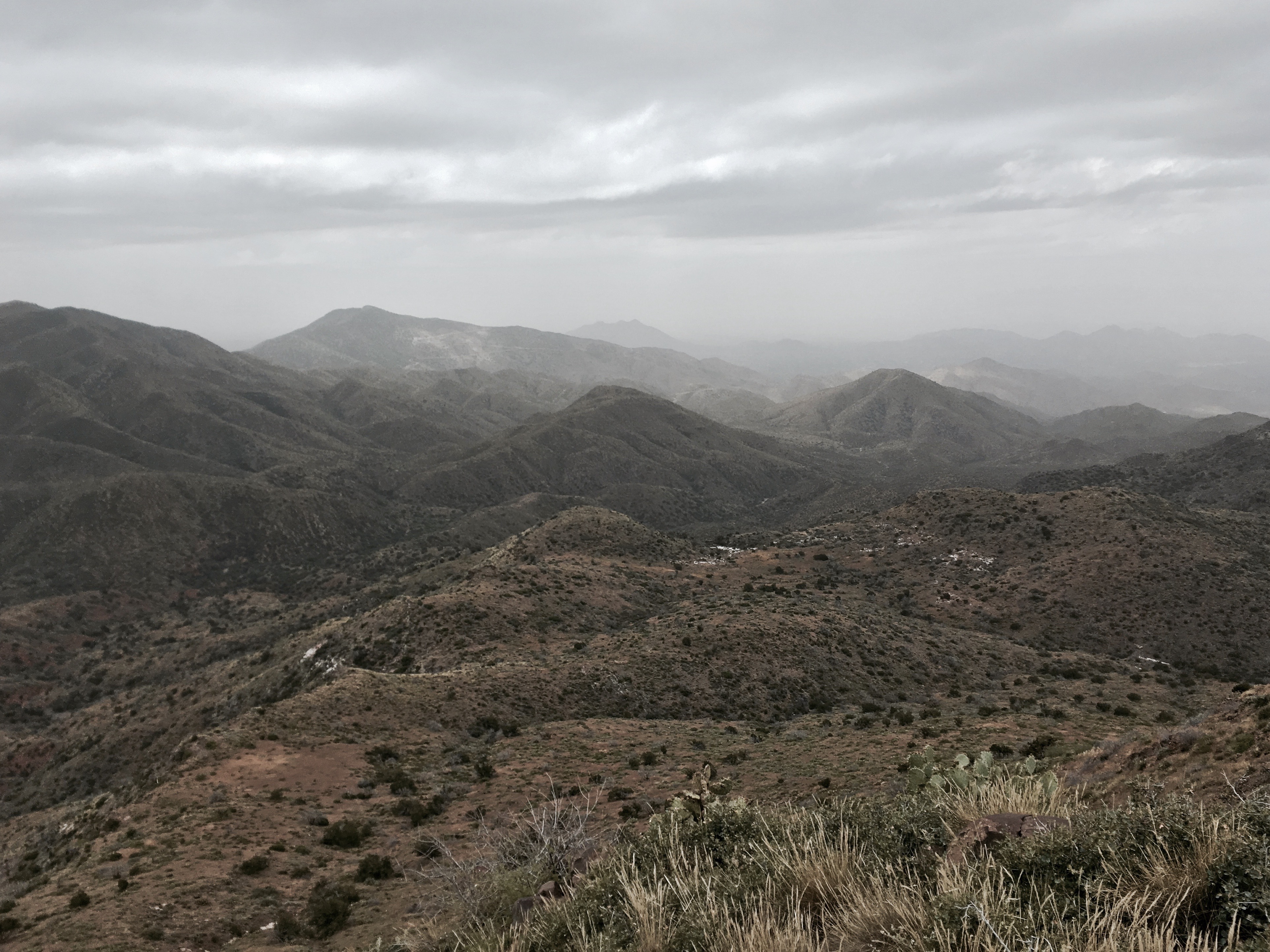
Related Photos:
Flight Path
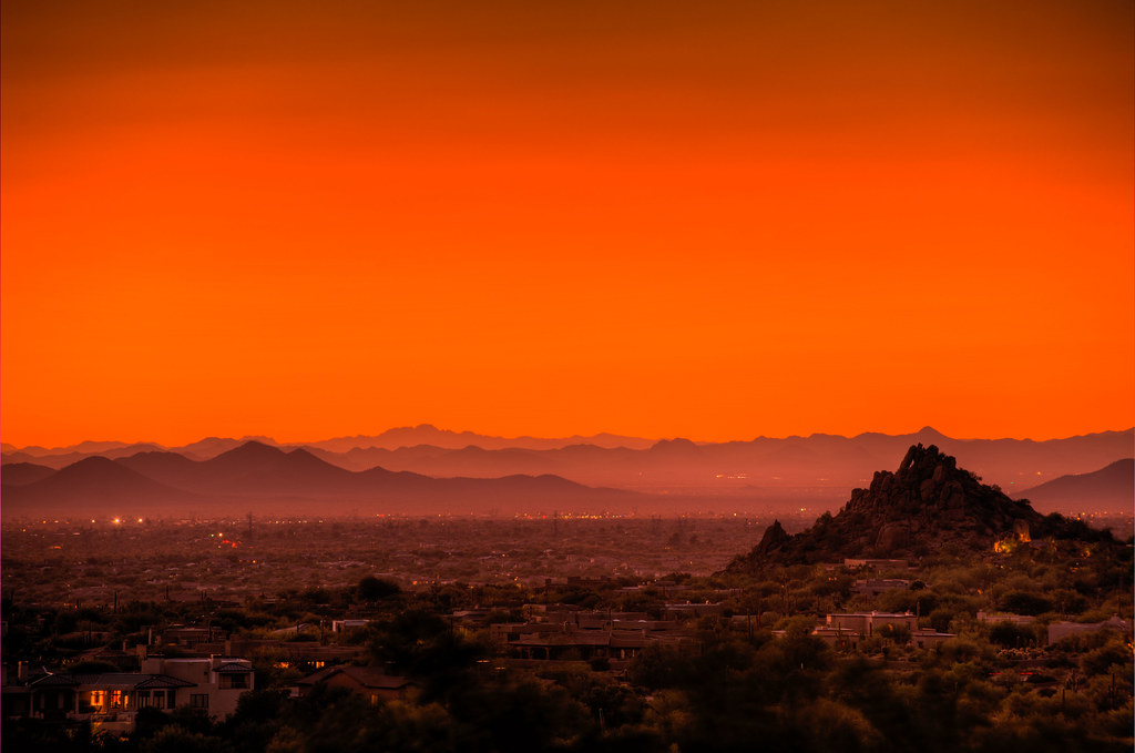
Scottsdale Sunset
371. View from atop Quien Sabe summit centered on Black Mountain in the distance

All I Asked Was, "Which Way?"
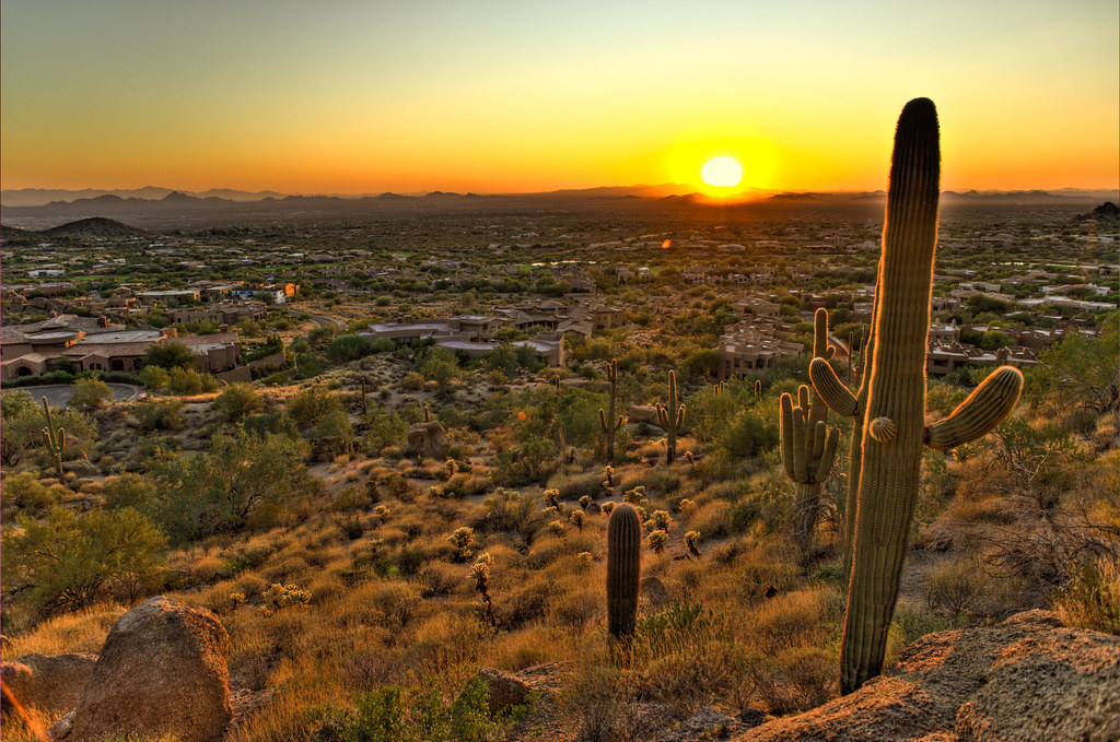
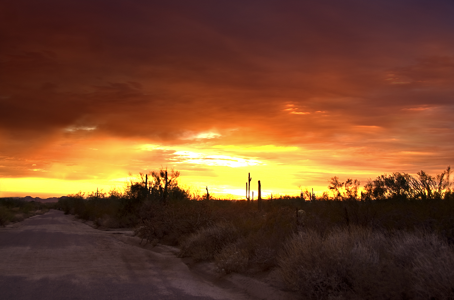
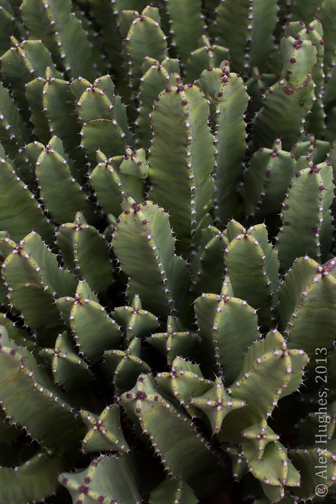
Cactus Sunset

Zebra-tailed Lizard

The evening view from Black Mountain.

Sunrise Cactus

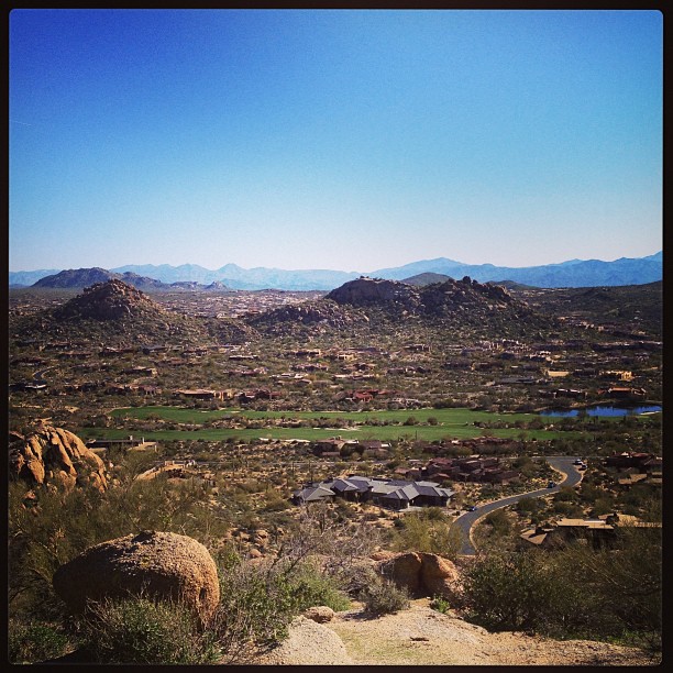
This view never gets old #troonnorth
The Middle Of Nowhere Shows Its Good Side

Cool Retro Diner Arrow Sign: Big Earl's Greasy Eats, Cave Creek, Close-up, West View

"Saguaro You Here?"--pun by Paul Ewing and Tim Lefler
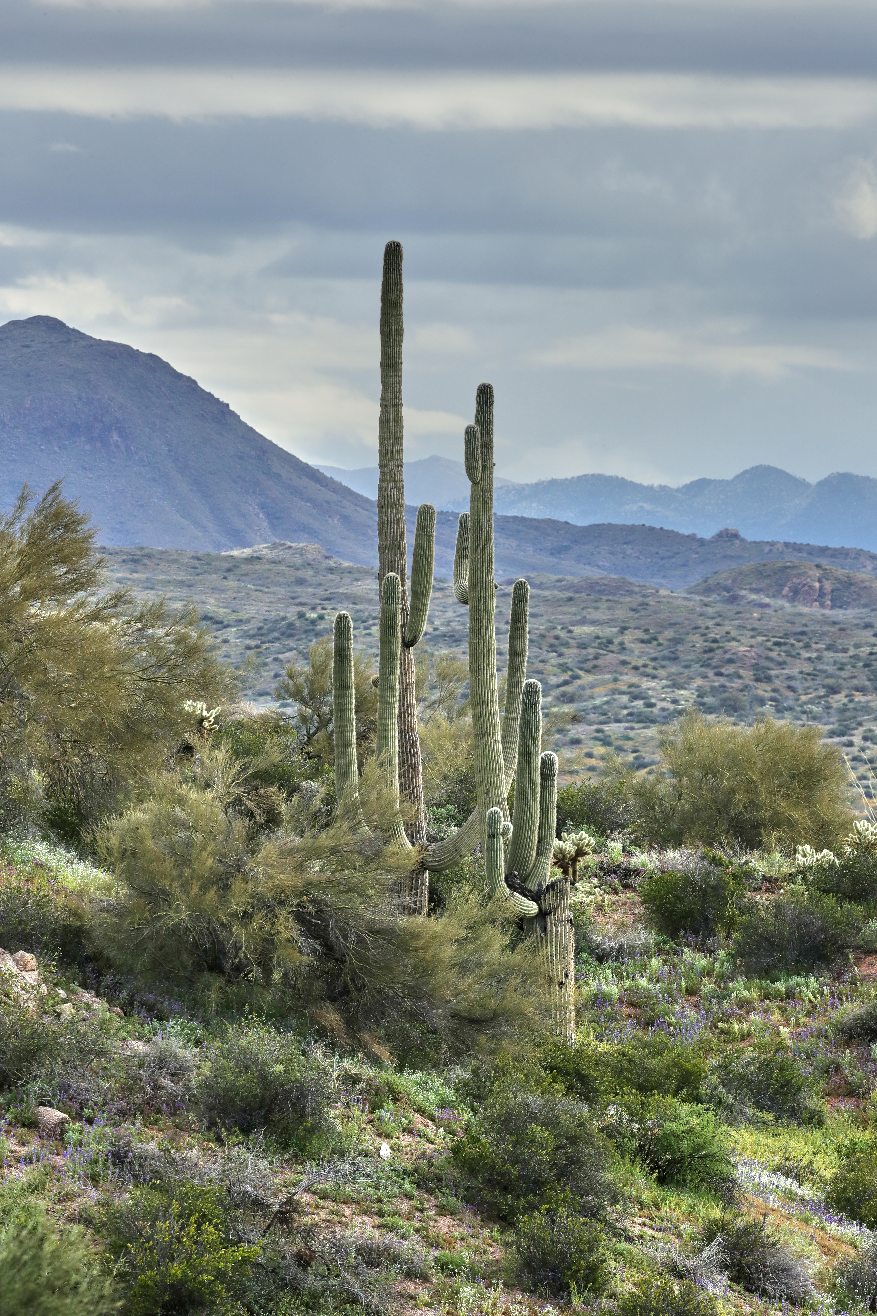
El Niño Desert
View from #pinnaclepeak highest point #scottsdale
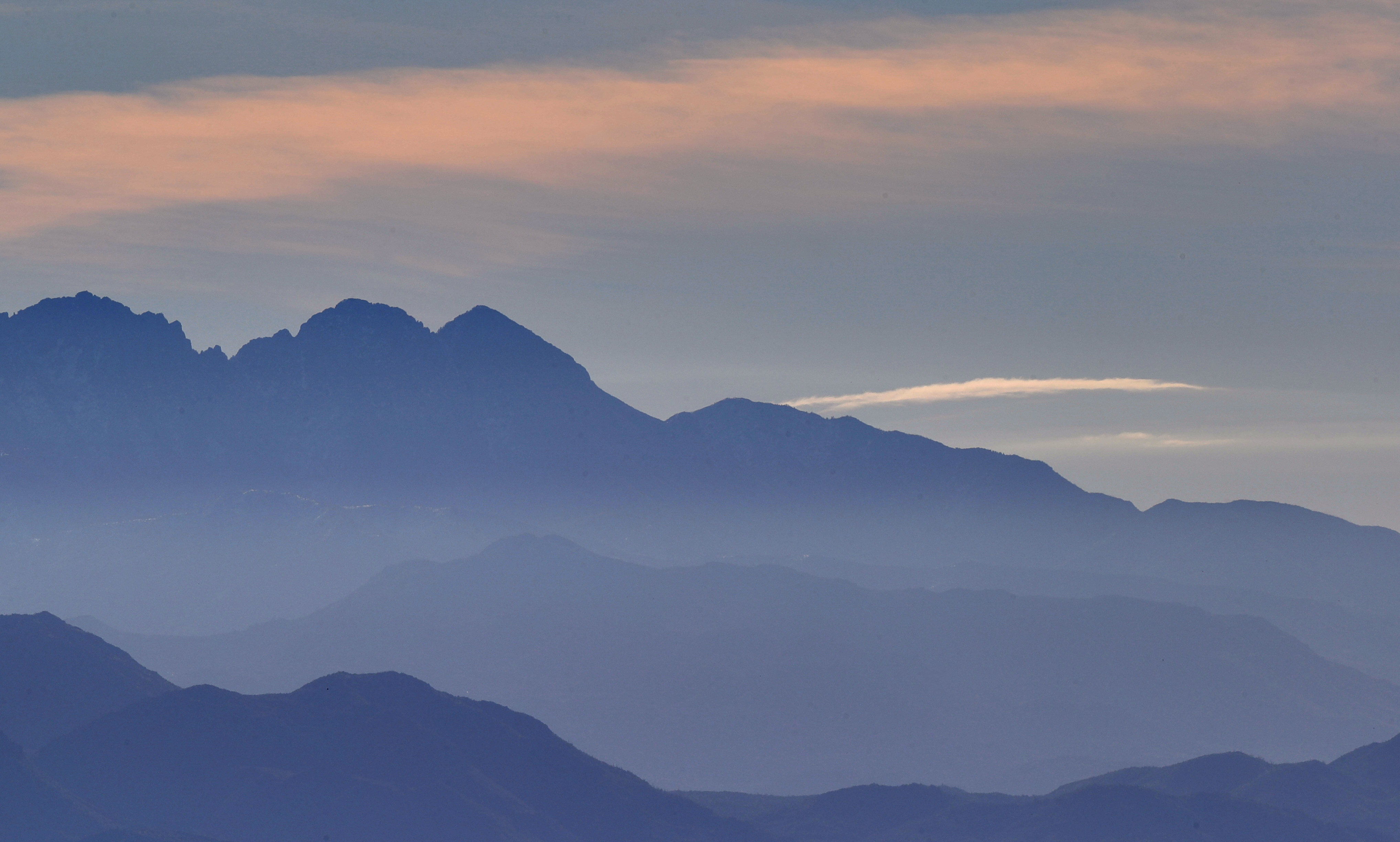
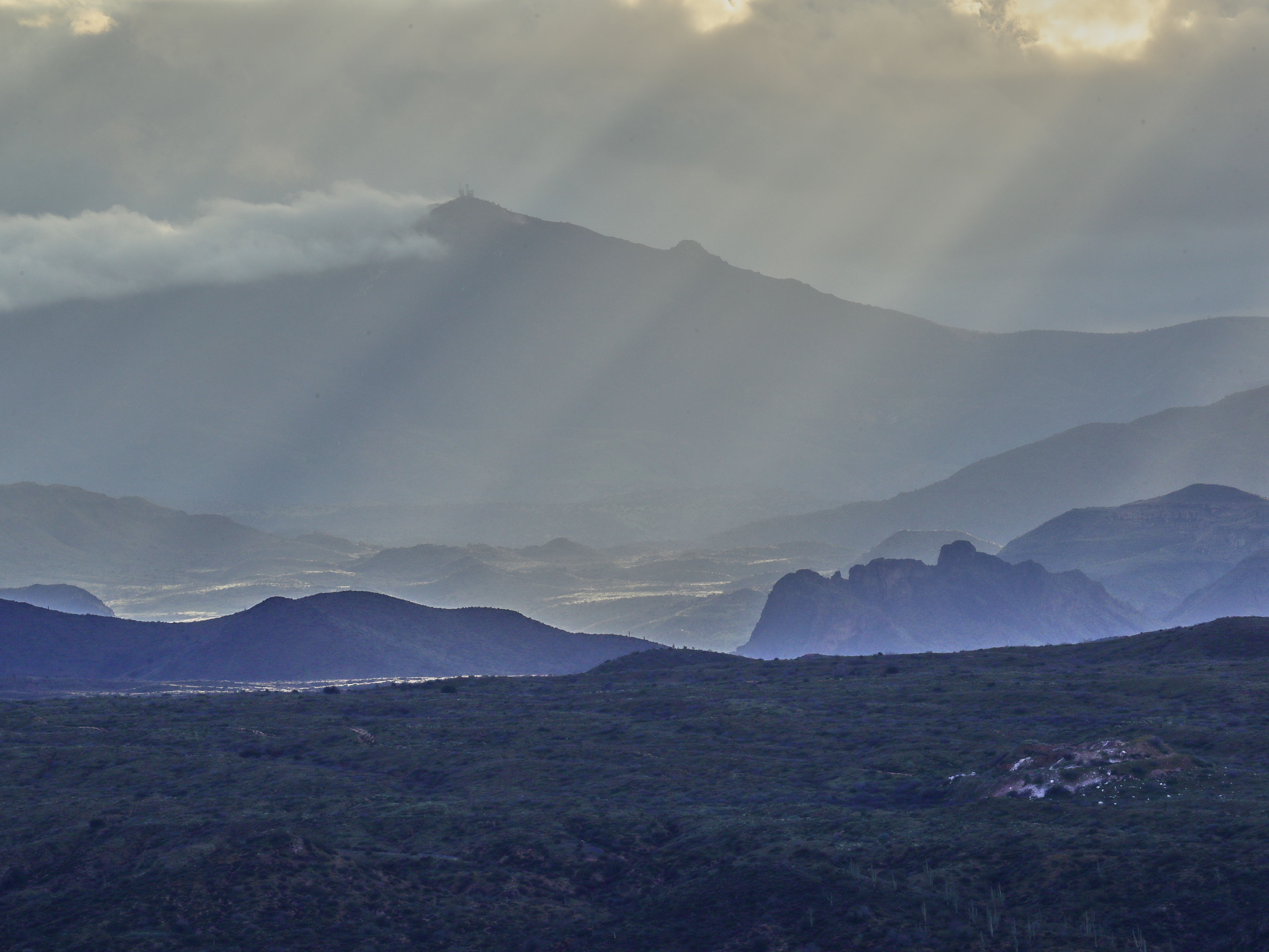
32. View along Bartlett Dam Road toward St. Clair Peak on a crisp New Year's Day

View from Onyx at The Four Seasons Scottsdsle

Elephant Mountain Sunrise

View to southwest approaching Black Mesa - Spur Cross
USA Surfaces and Textures

Cool Retro AZ Diner Sign: Big Earl's Greasy Eats, Cave Creek, View to the East

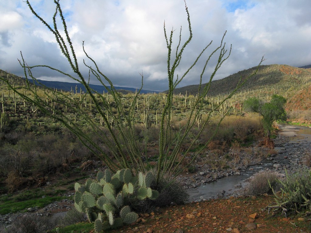
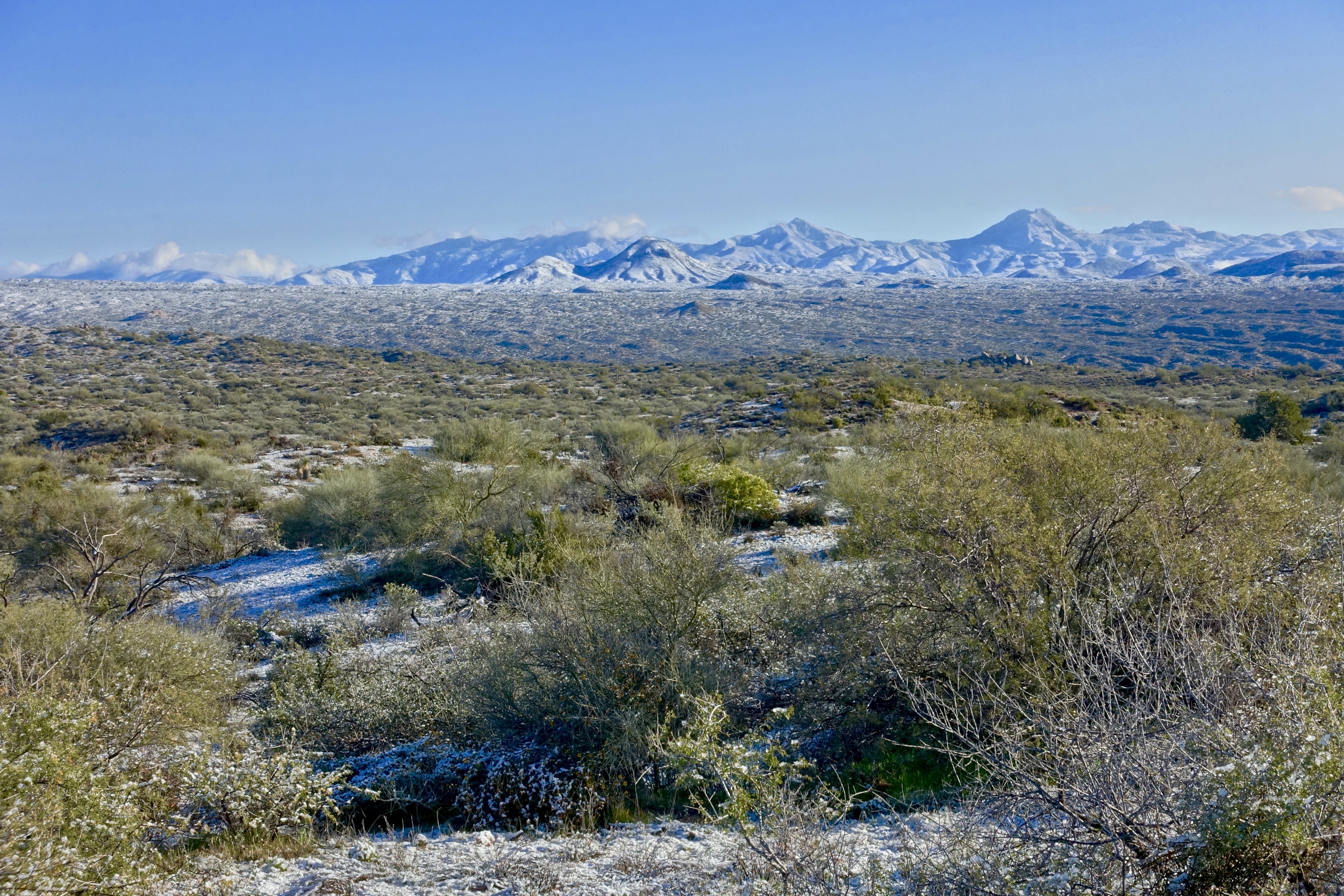
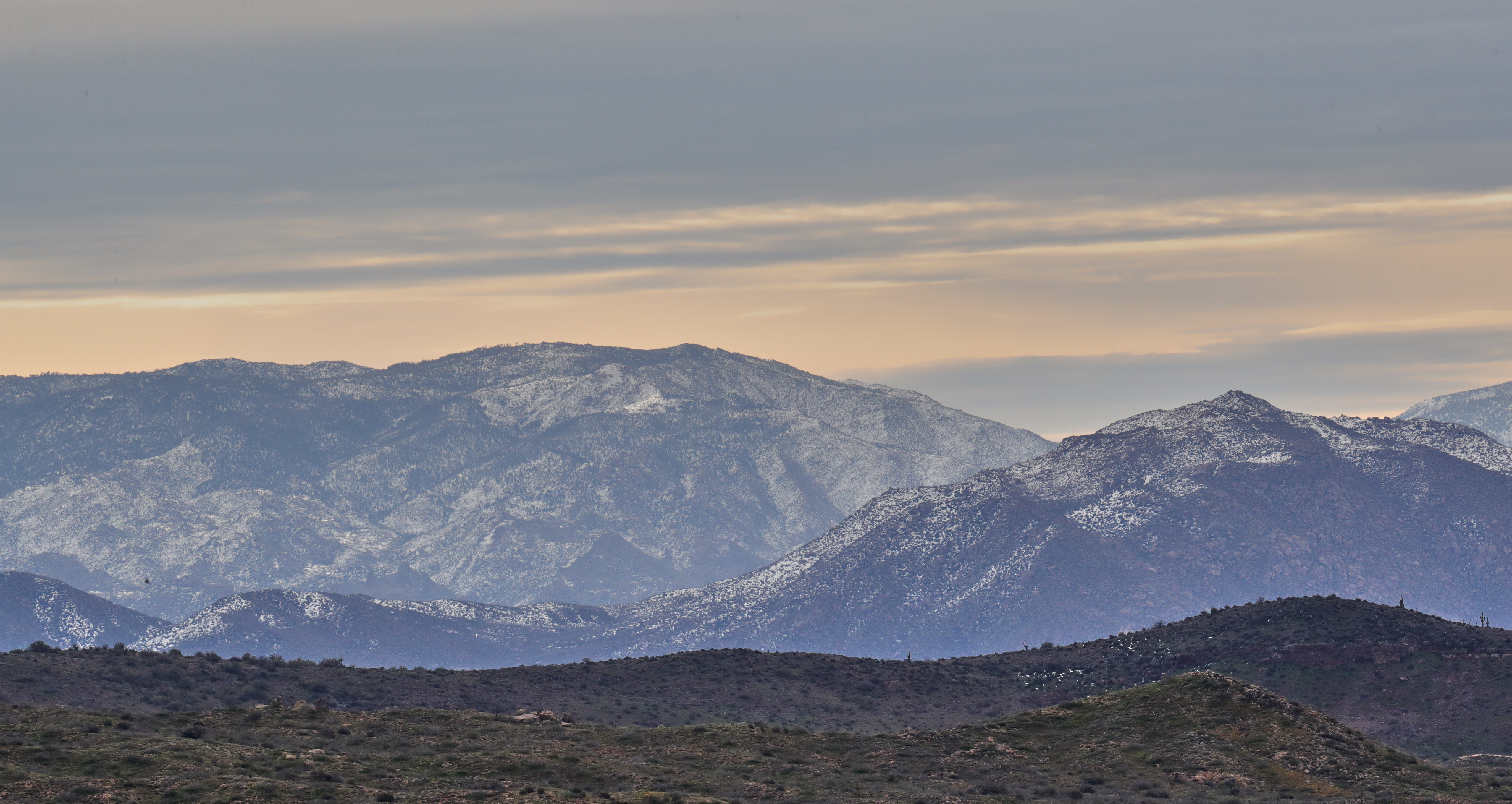
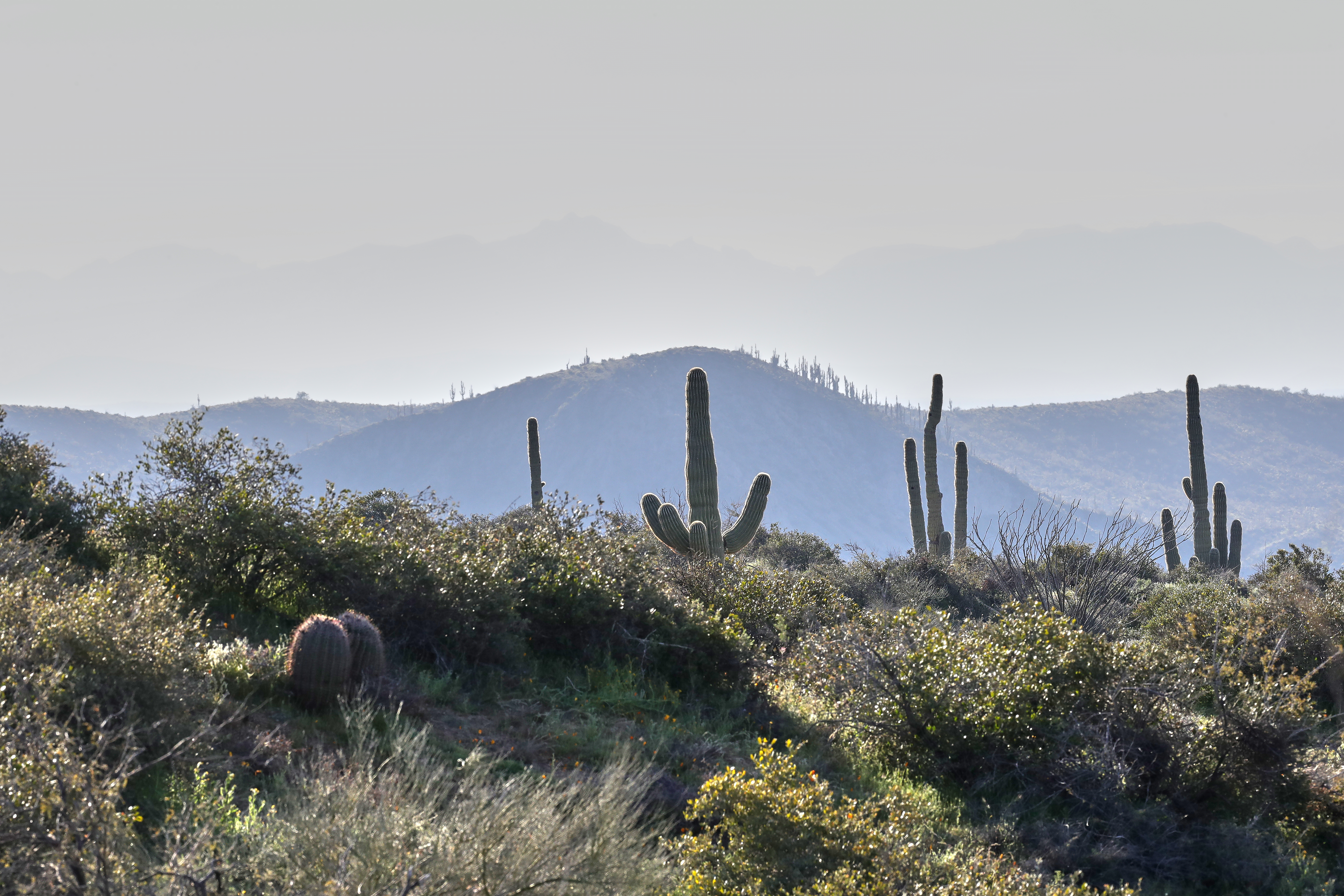
Winter in the Sonoran Desert

02-19-19-0048158 2
03-03-19-0049541
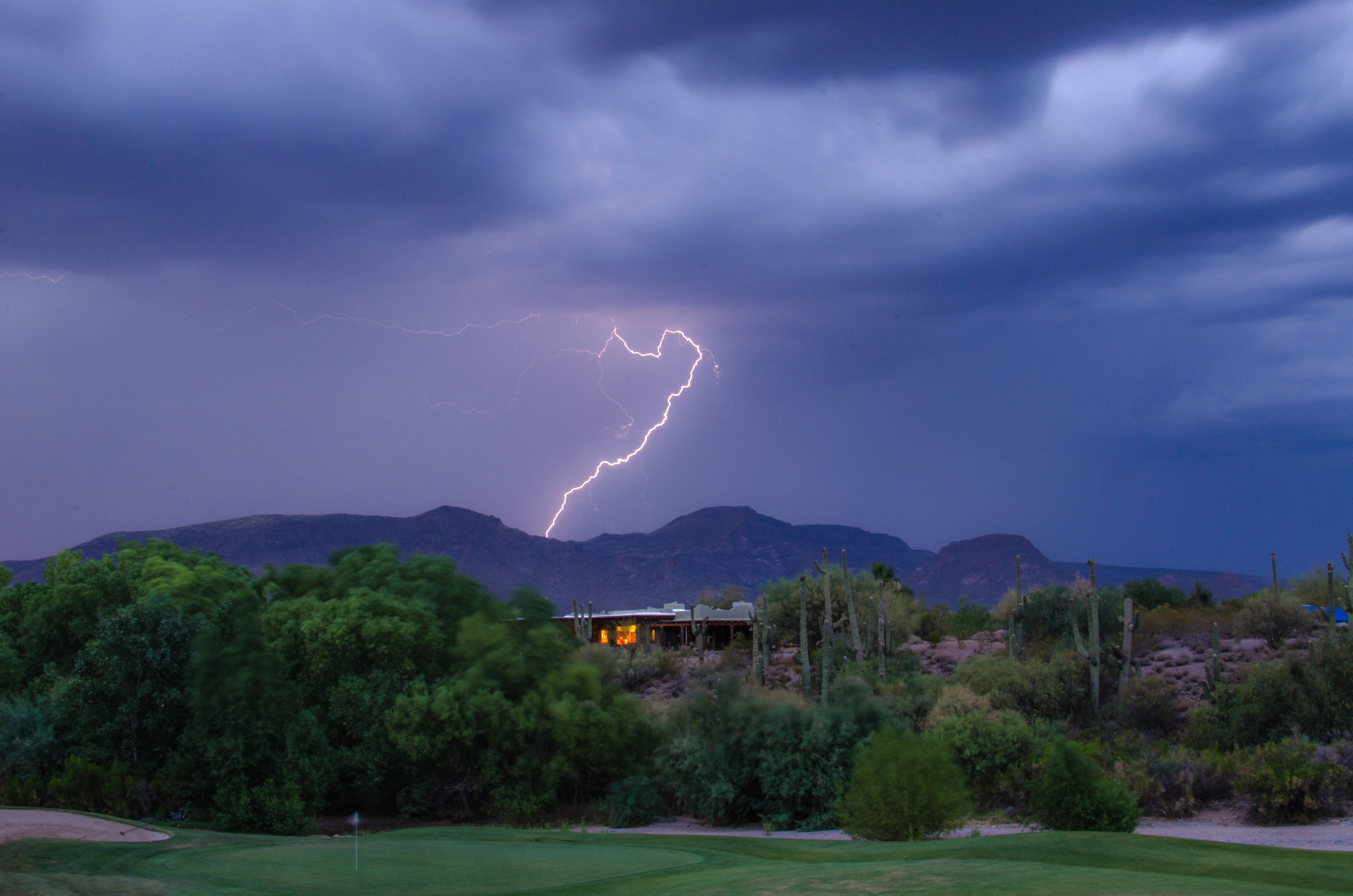
Lightning from Cave Creek
02-27-19-0049180
03-03-19-0049577

02-19-19-0048157
03-21-19-0052021
03-03-19-0049545

03-21-19-0052069
02-19-19-0048159 1

Pinnacle Peak from Greasewood Flats

03-03-19-0049543
02-19-19-0048202
03-21-19-0052065 1

01-23-19-0045399
Welcome to Arizona. Here's a (tone)Map of the Area!

03-21-19-0052028
03-21-19-0052102

03-21-19-0052082
03-21-19-0052073
Topographic Map of E Hidden Valley Rd, Scottsdale, AZ, USA
Find elevation by address:

Places near E Hidden Valley Rd, Scottsdale, AZ, USA:
Desert Mountain, Phase I
9821 E Sundance Trail
The Estates At Cave Creek
Desert Mountain Golf Course
37890 N 95th Way #86
37890 N 95th Way #86
10135 E Aniko Dr
37178 N 103rd St
Sierra Norte
38254 N 104th Pl
9328 E Covey Trail
36449 N 100th Way #272
9569 E Suncrest Rd
9569 E Suncrest Rd
9569 E Suncrest Rd
38138 N 108th St
Encellia
Mirabel Village
38373 N 107th Way
10871 E Santa Fe Trail
Recent Searches:
- Elevation of Corso Fratelli Cairoli, 35, Macerata MC, Italy
- Elevation of Tallevast Rd, Sarasota, FL, USA
- Elevation of 4th St E, Sonoma, CA, USA
- Elevation of Black Hollow Rd, Pennsdale, PA, USA
- Elevation of Oakland Ave, Williamsport, PA, USA
- Elevation of Pedrógão Grande, Portugal
- Elevation of Klee Dr, Martinsburg, WV, USA
- Elevation of Via Roma, Pieranica CR, Italy
- Elevation of Tavkvetili Mountain, Georgia
- Elevation of Hartfords Bluff Cir, Mt Pleasant, SC, USA