Elevation of E Hidden Springs Rd, Cave Creek, AZ, USA
Location: United States > Arizona > Maricopa County > Cave Creek > Red Dog Ranch >
Longitude: -111.95341
Latitude: 33.8631525
Elevation: 674m / 2211feet
Barometric Pressure: 93KPa
Elevation Map:
Satellite Map:
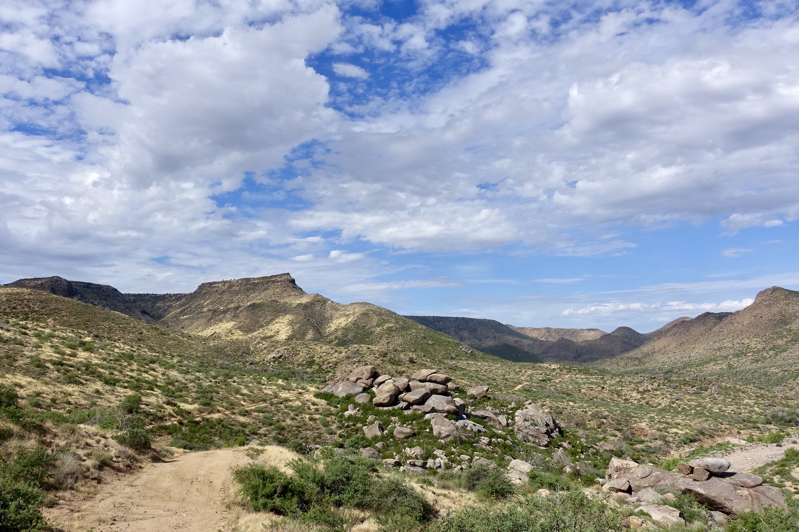
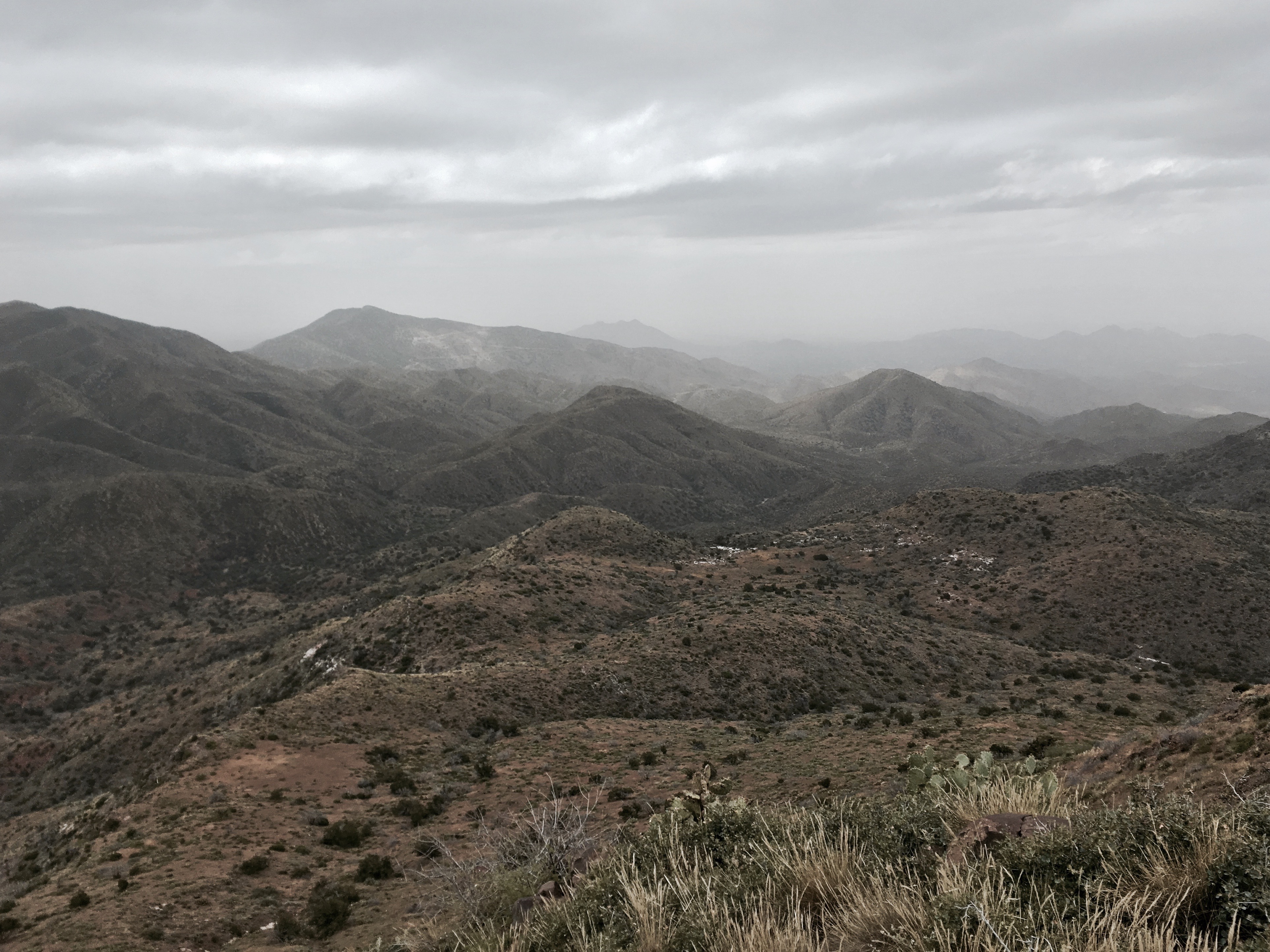
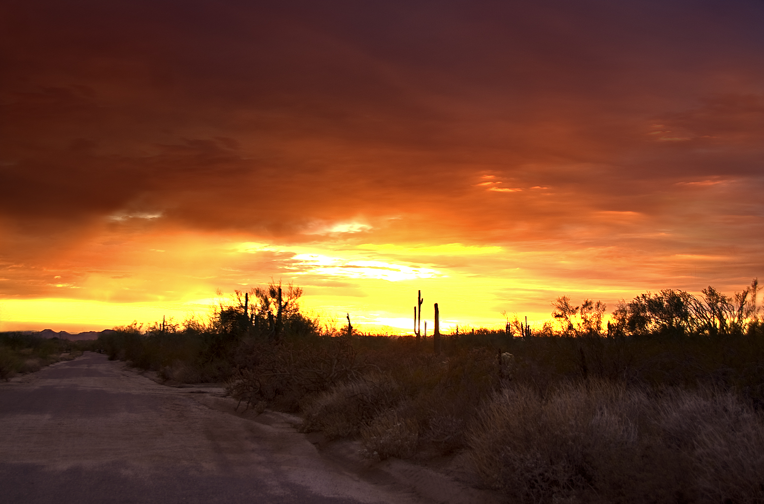
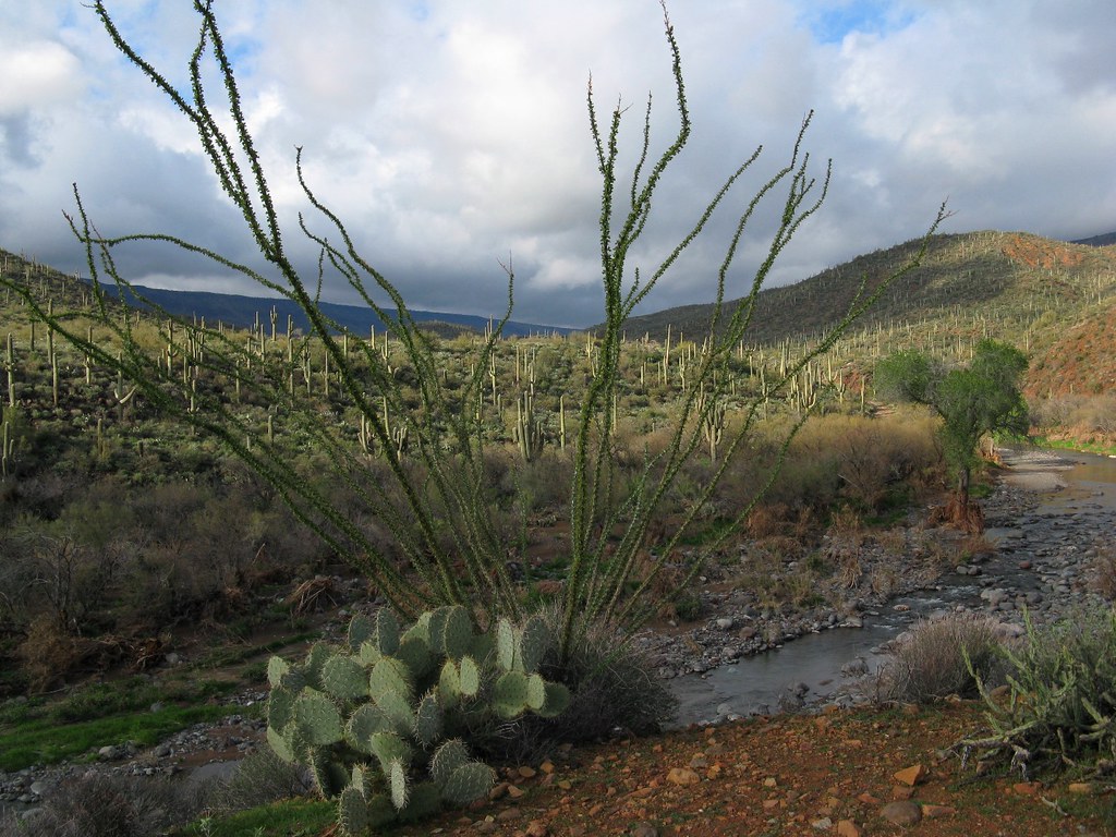
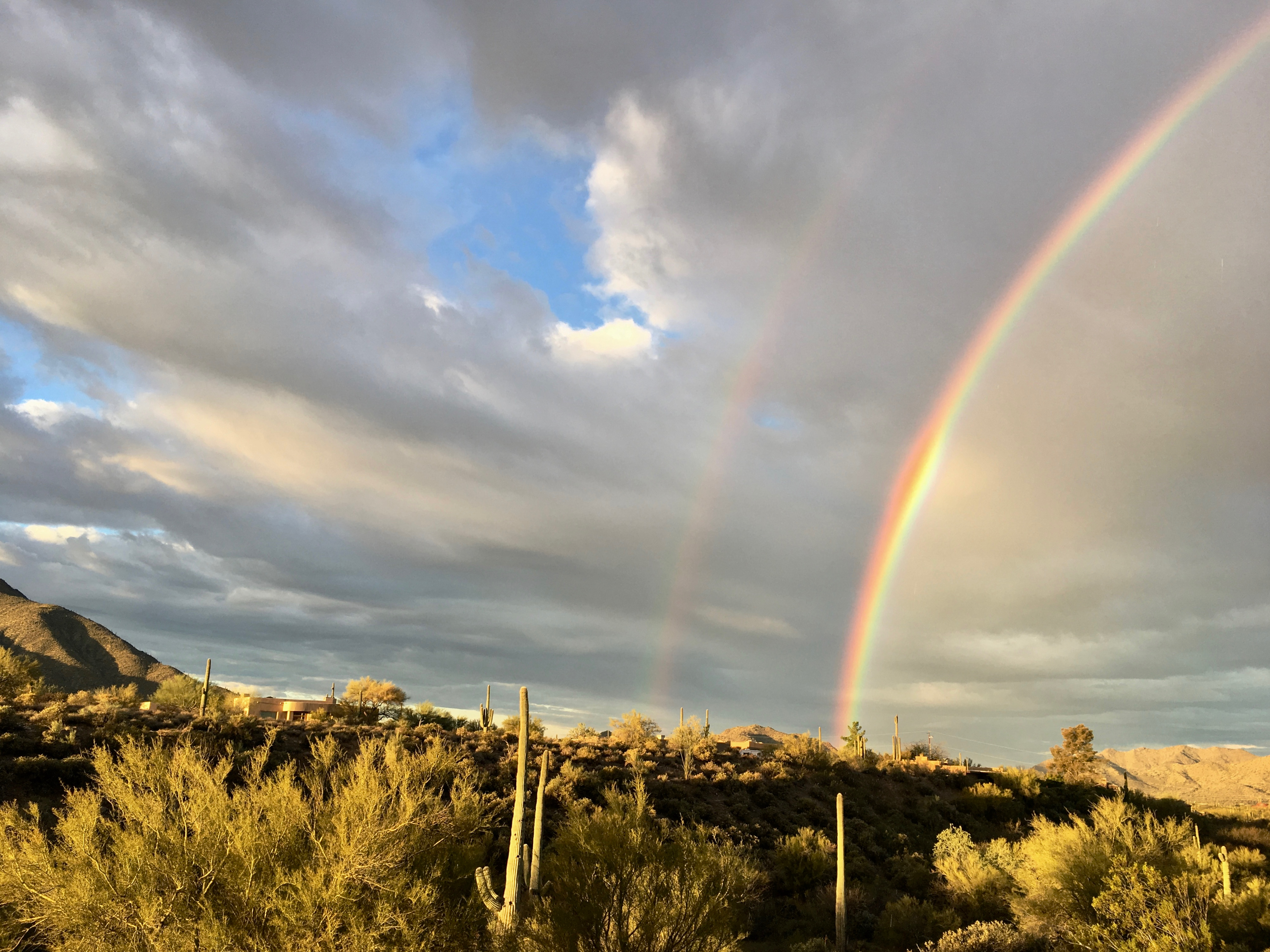
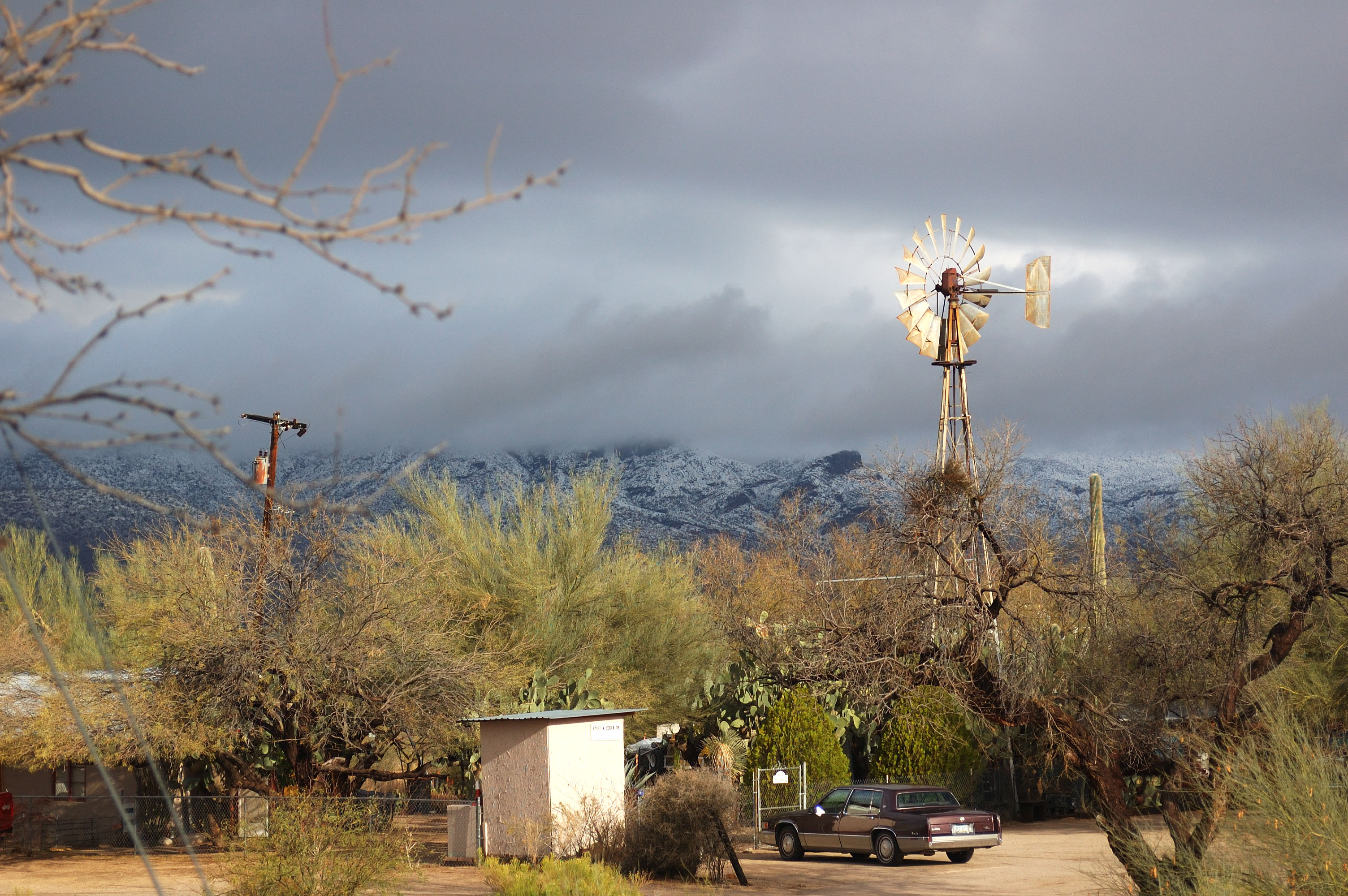
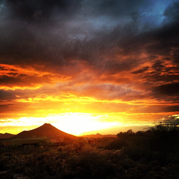
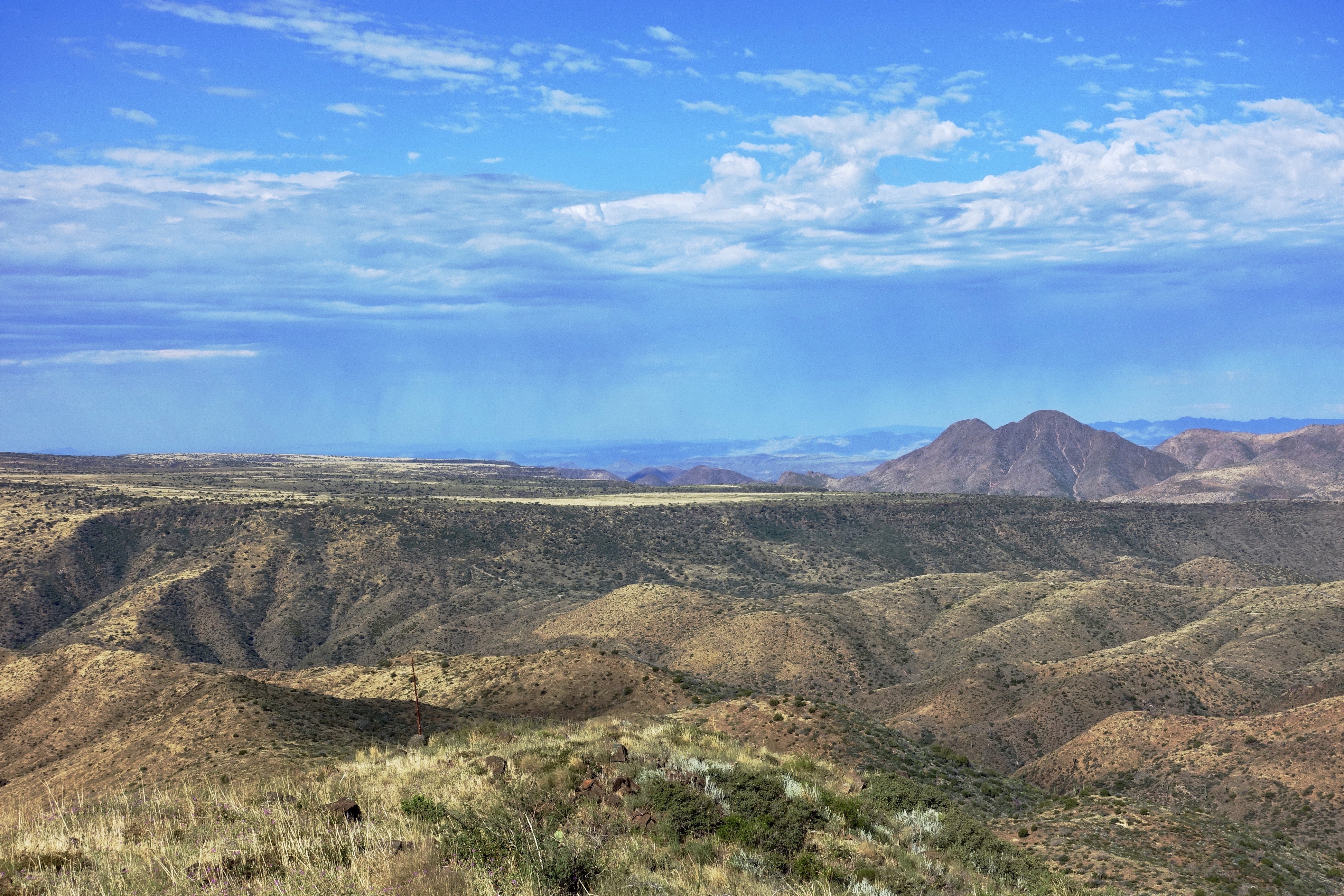
Related Photos:

Pink Snow Cactus

All I Asked Was, "Which Way?"

Cool Retro Diner Arrow Sign: Big Earl's Greasy Eats, Cave Creek, Close-up, West View

Cool Retro AZ Diner Sign: Big Earl's Greasy Eats, Cave Creek, View to the East
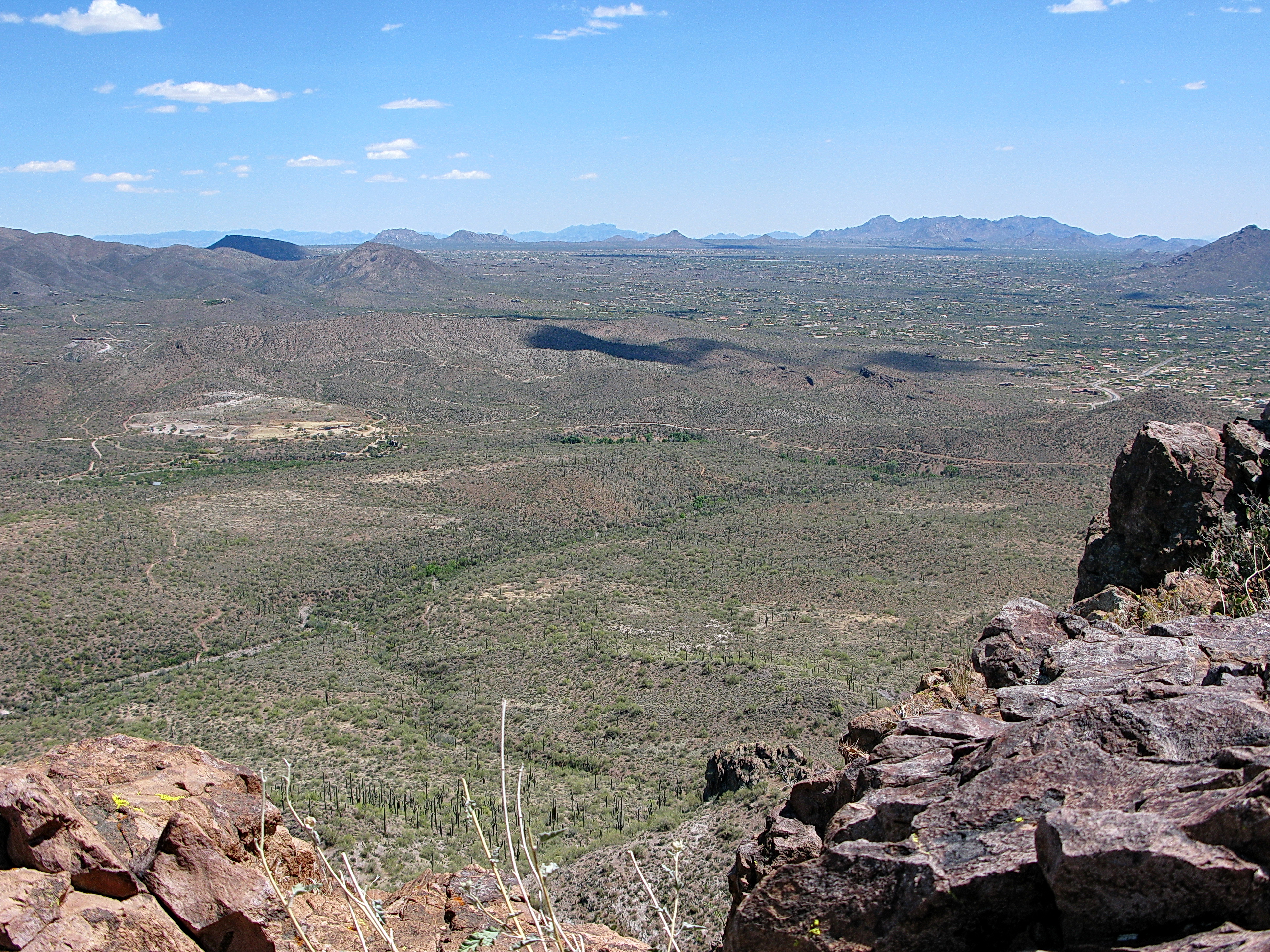
Elephant Mountain view to east south east
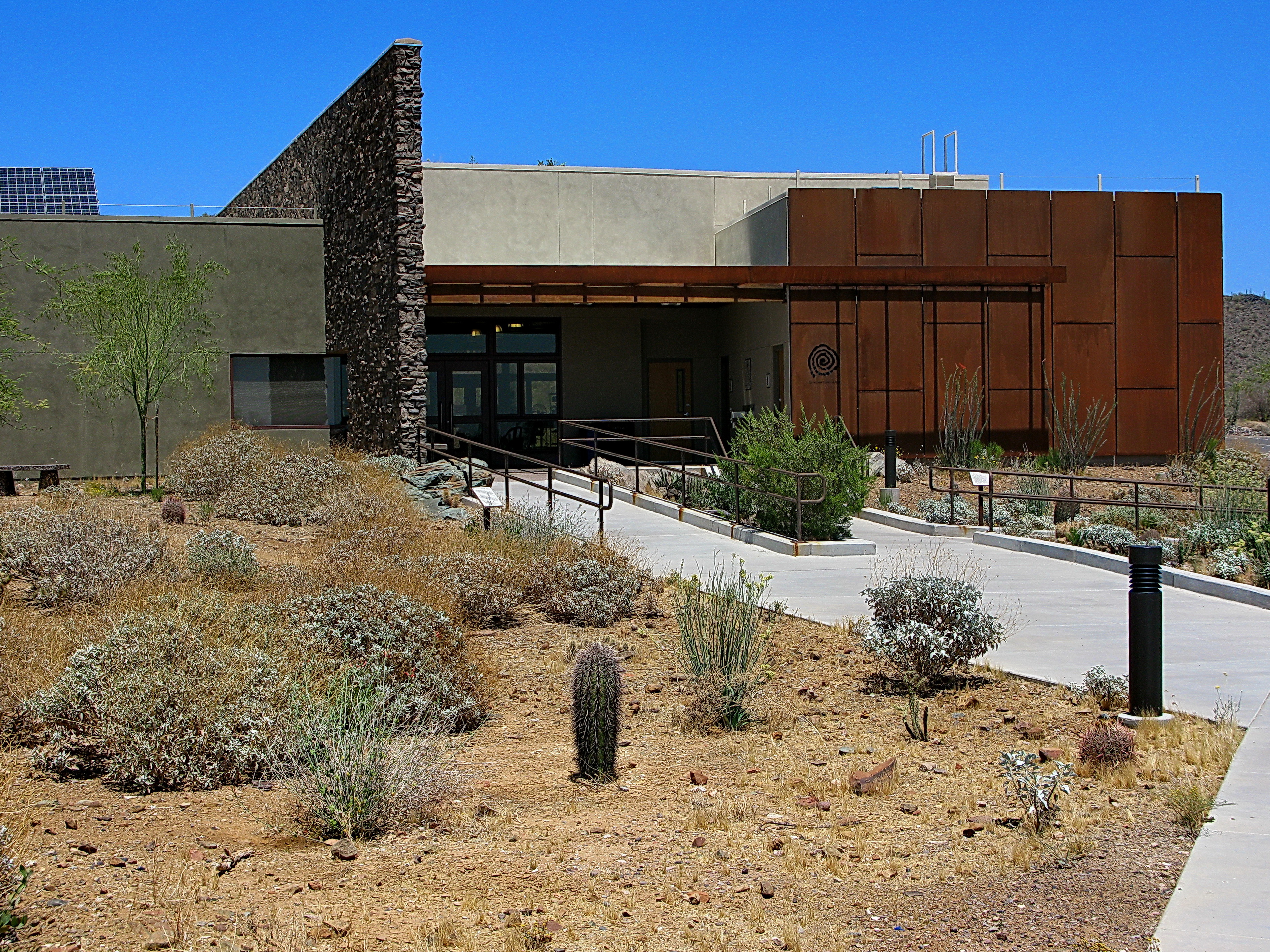
Cave Creek Recreation Area Nature Center

Sears-Kay Ruins - Tonto National Forest

Retro Diner, Red Arrow Sign: Big Earl's Greasy Eats, Cave Creek, Street View to West, Cave Creek, AZ
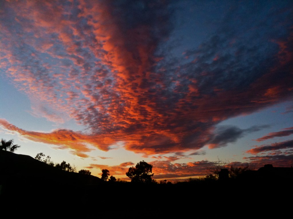
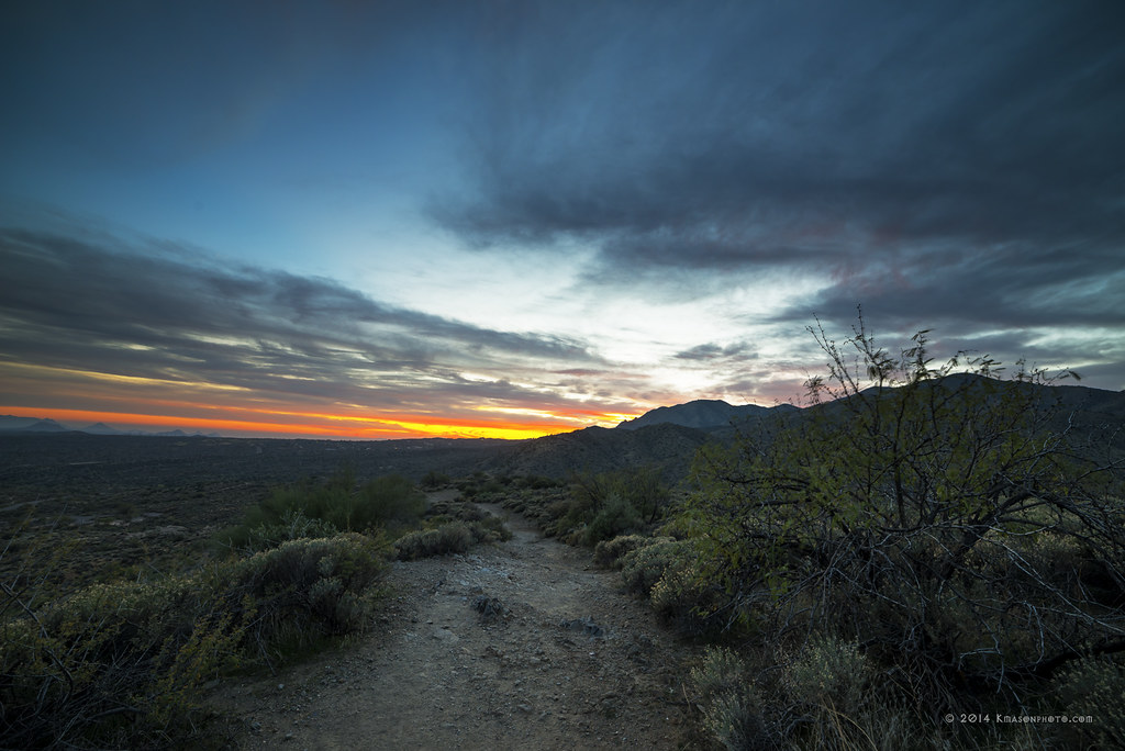
108. Sunset as viewed looking down Happy Hollow Drive

Sears-Kay Ruins Interpretive Sign - hawks eye view
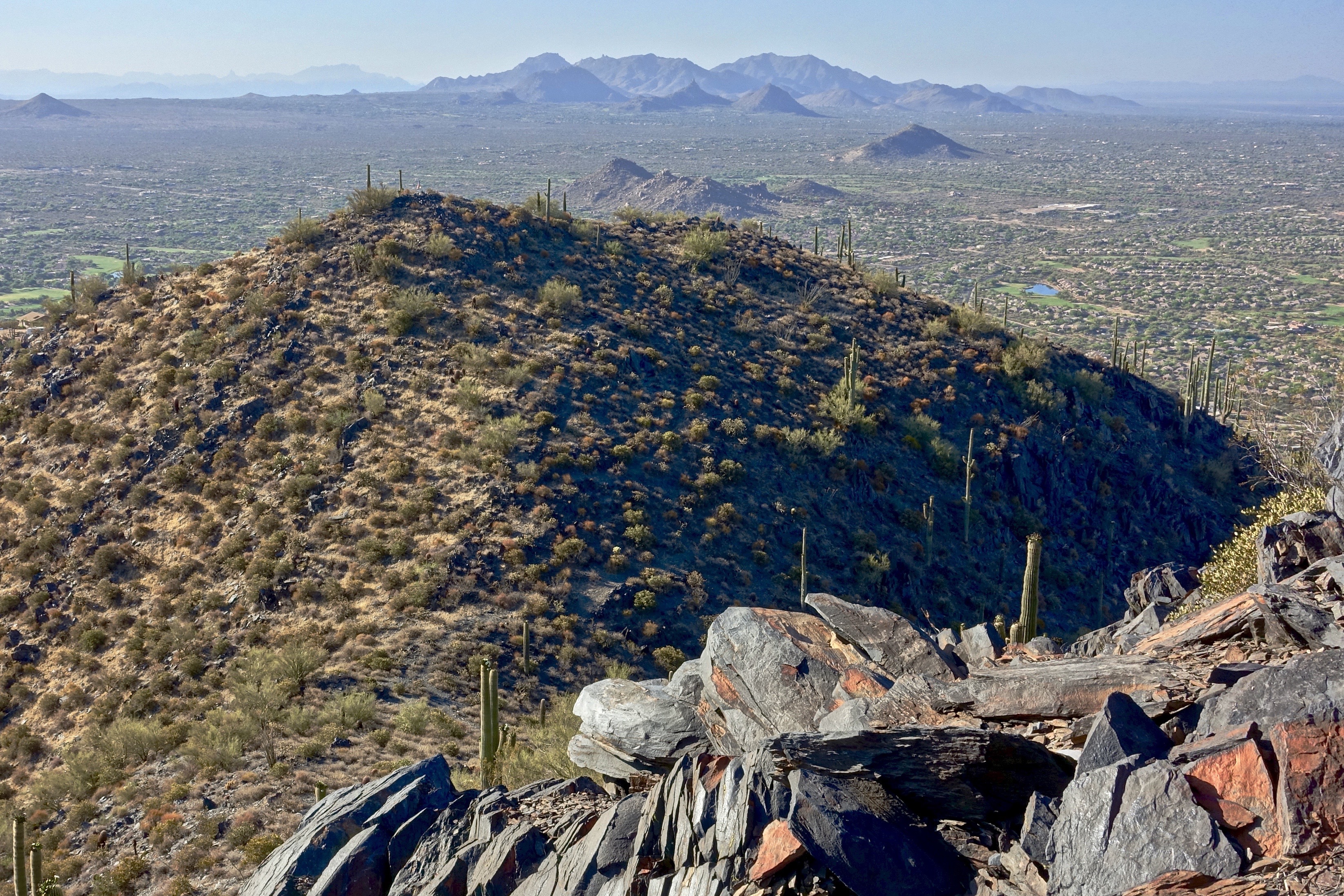
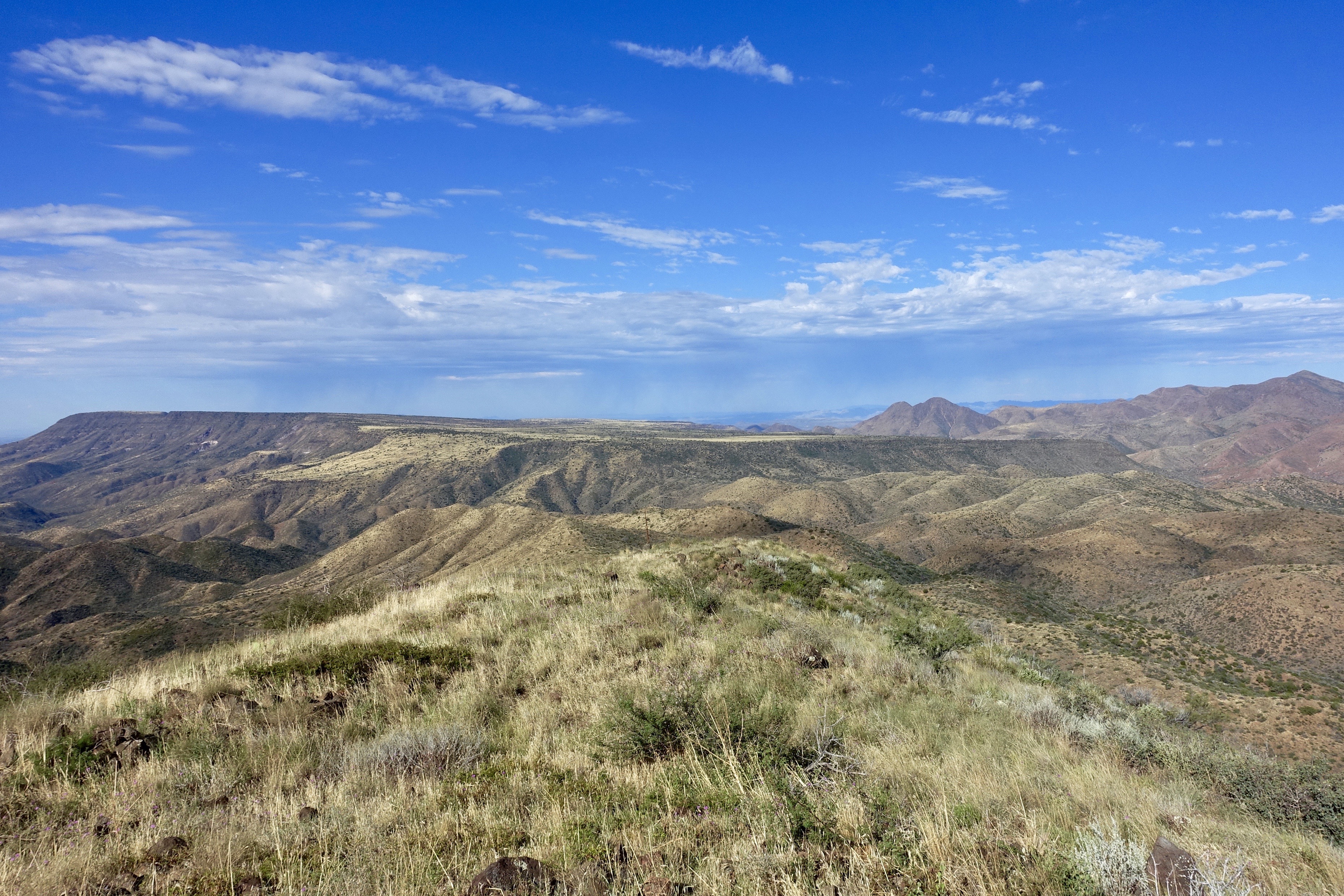
76. Landscape view from Black Mountain with Superstition Mountains as distant backdrop
385. View toward New River Mesa along FR 41 just west of Robbers Roost Canyon
371. View from atop Quien Sabe summit centered on Black Mountain in the distance

Zebra-tailed Lizard

The evening view from Black Mountain.

Sunrise Cactus

This view never gets old #troonnorth
The Middle Of Nowhere Shows Its Good Side

386. View toward New River Mesa along FR 41 further west of Robbers Roost Canyon

470. Panoramic view from hilltop west of old stone ruin along FR 468
El Niño Desert
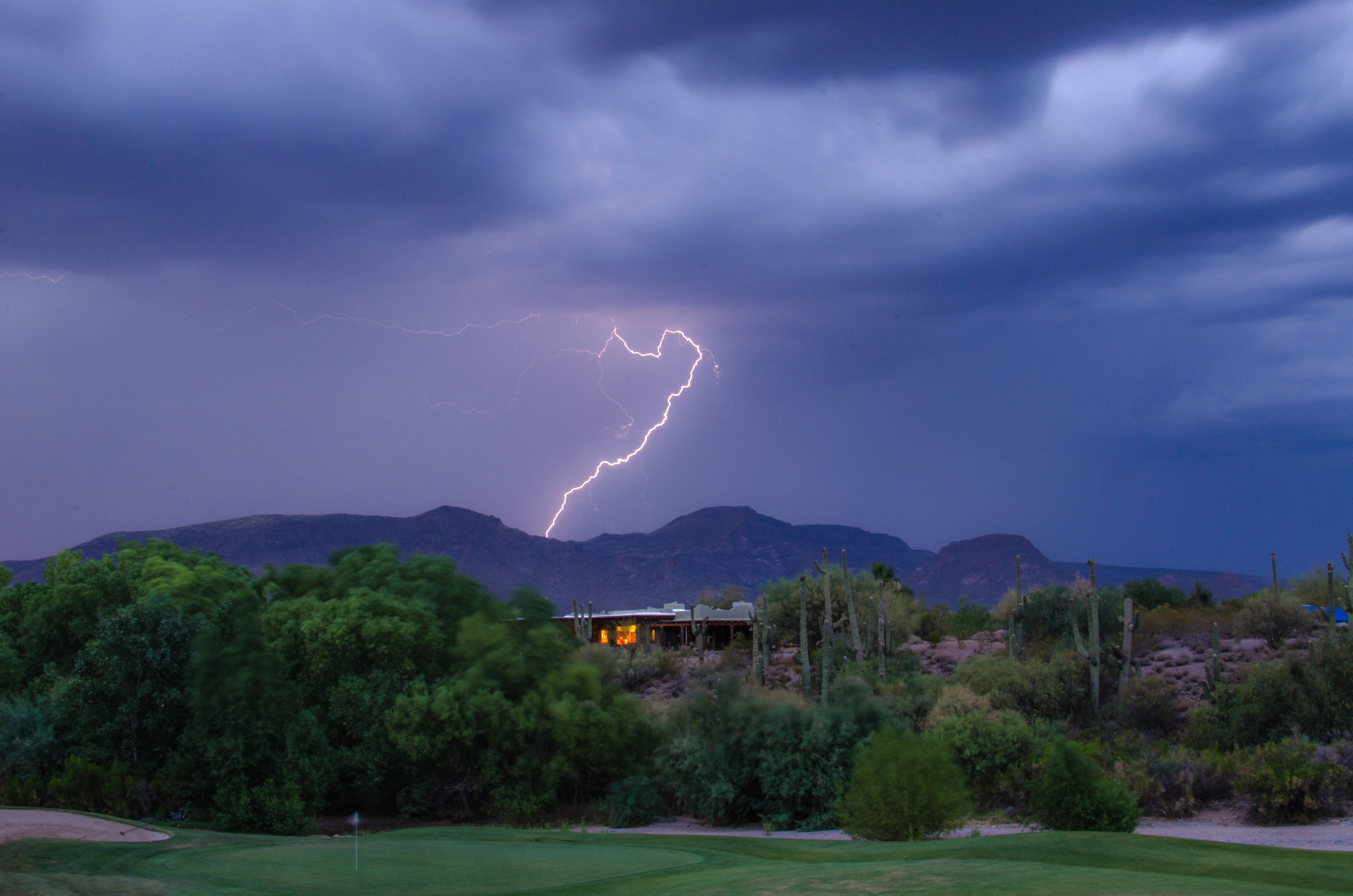
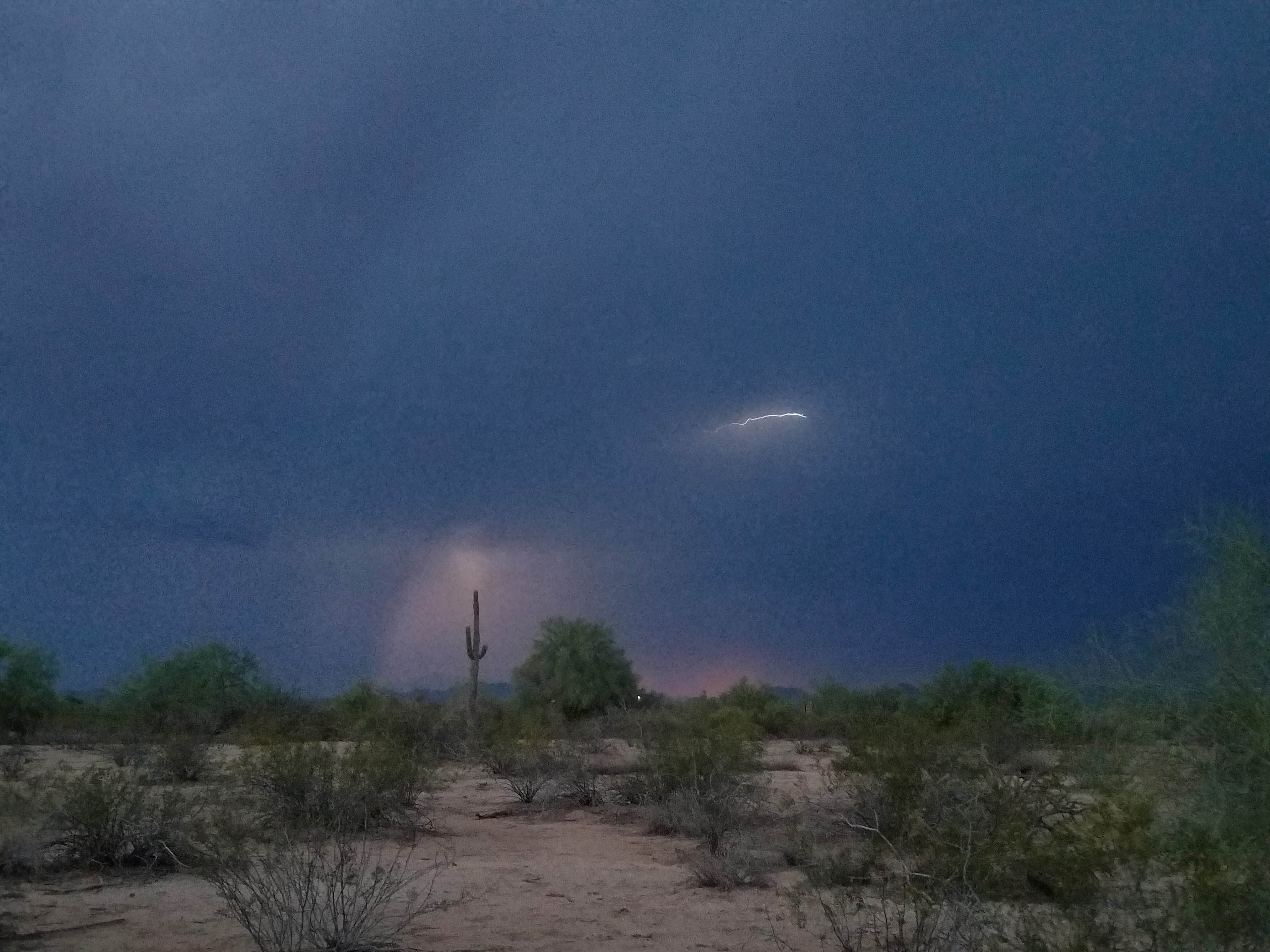
Lightning from Cave Creek

Sunrise from Lone Mountain

Sunset 4.7.13
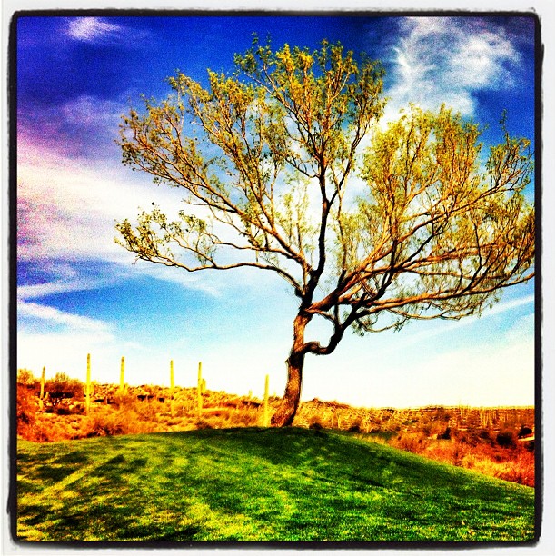
Geronimo Golf
Welcome to Arizona. Here's a (tone)Map of the Area!
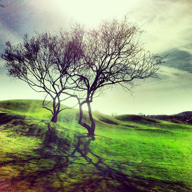
Tree on Geronimo

372. Panorama of distant mountaintop landmarks as seen from summit of Quien Sabe
farewell cave creek
Arizona country scene
Sky on fire.
417. New River Mesa and Red Mountain with a morning storm off in the distance
2018-07-28_08-12-47
418. New River Mesa and New River Mountains with a morning storm off in the distance

Arizona snow
following the path

476. Skull Mesa - Sugarloaf Mountain - Elephant Mountain - Black Mesa

IMG_3337.jpg

474. Looking back at my return hike along FR 468 from hilltop west of old stone ruin
Topographic Map of E Hidden Springs Rd, Cave Creek, AZ, USA
Find elevation by address:

Places near E Hidden Springs Rd, Cave Creek, AZ, USA:
Camino De La Cruz
5853 E Mountain Reserve Dr
Red Dog Ranch
North Spur Cross Road
North Spur Cross Road
41840 N Spur Cross Rd
North Desert Winds Drive
5425 E Morning Star Rd
5180 E Rockaway Hills Dr
Mesquite Ranch
North Schoolhouse Road
5670 E Ocotillo Rd
North 50th Street
42402 N Fleming Springs Rd
Cave Creek, AZ, USA
38446 N Spur Cross Rd
44200 N Cottonwood Canyon Rd
Mountain View
East Cahava Ranch Road
Rancho Manana
Recent Searches:
- Elevation of Corso Fratelli Cairoli, 35, Macerata MC, Italy
- Elevation of Tallevast Rd, Sarasota, FL, USA
- Elevation of 4th St E, Sonoma, CA, USA
- Elevation of Black Hollow Rd, Pennsdale, PA, USA
- Elevation of Oakland Ave, Williamsport, PA, USA
- Elevation of Pedrógão Grande, Portugal
- Elevation of Klee Dr, Martinsburg, WV, USA
- Elevation of Via Roma, Pieranica CR, Italy
- Elevation of Tavkvetili Mountain, Georgia
- Elevation of Hartfords Bluff Cir, Mt Pleasant, SC, USA