Elevation of E Grundy St, Tullahoma, TN, USA
Location: United States > Tennessee > Coffee County > Tullahoma >
Longitude: -86.203369
Latitude: 35.367423
Elevation: 331m / 1086feet
Barometric Pressure: 97KPa
Elevation Map:
Satellite Map:
Related Photos:

The Dismal Normandy Lake

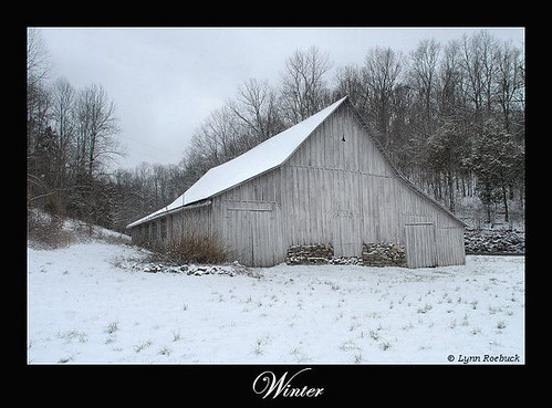
Winter Green
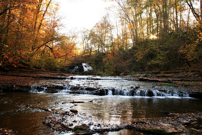
Machine Falls
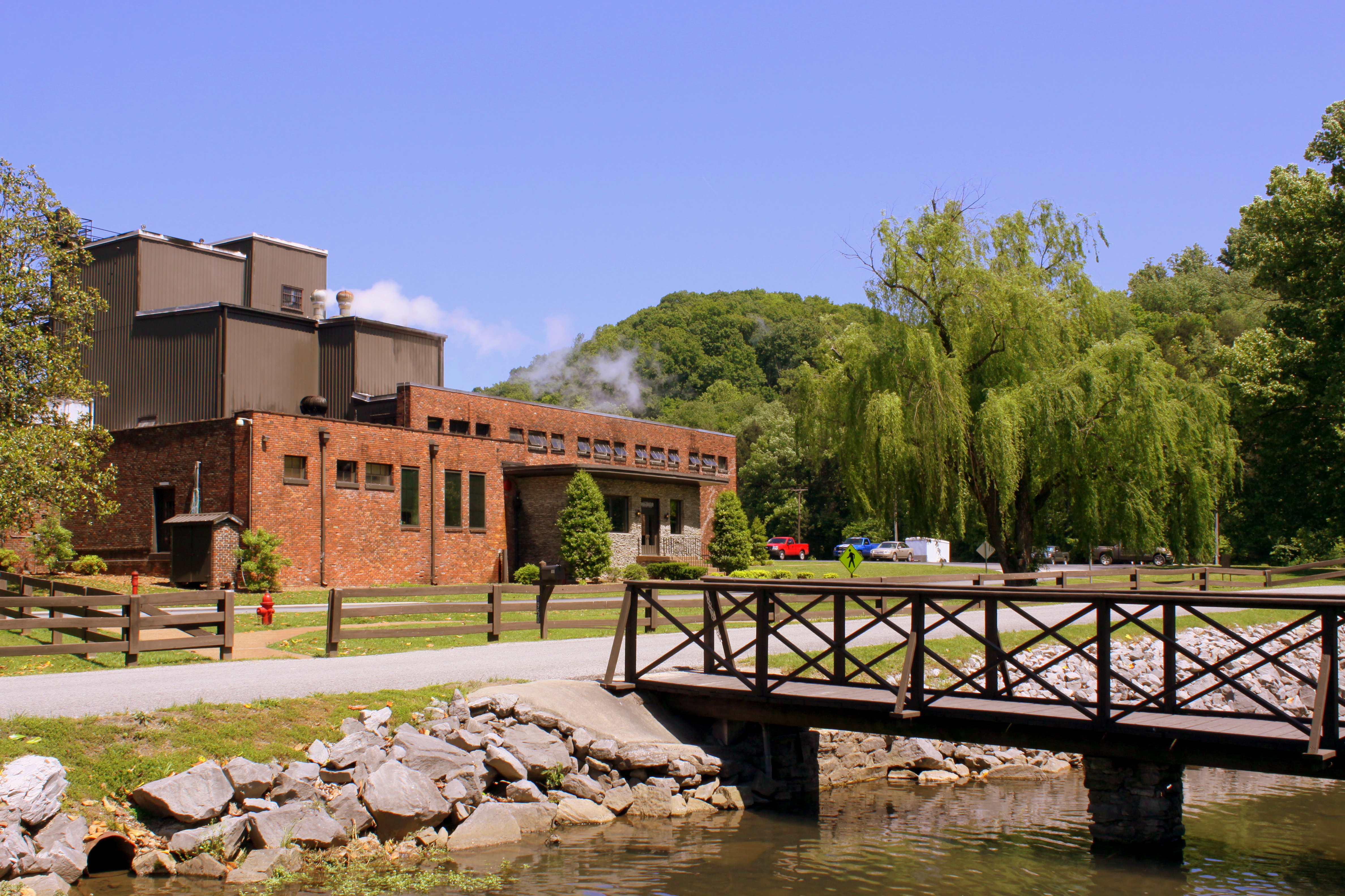
George Dickel Distillery - Cascade Hollow, TN
Arnold AFB, Tenn. wind tunnels
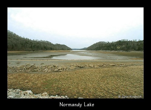
Normandy Lake View
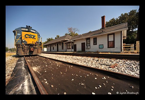
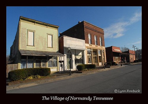
Tullahoma, Tennessee Railroad Depot by Lynn Roebuck
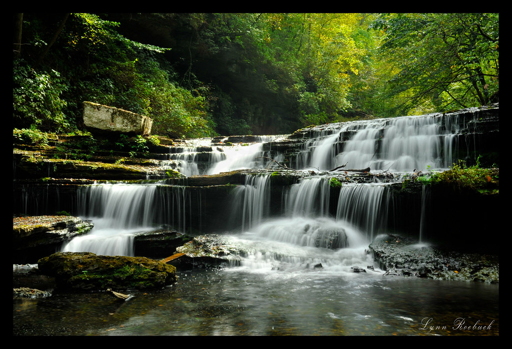
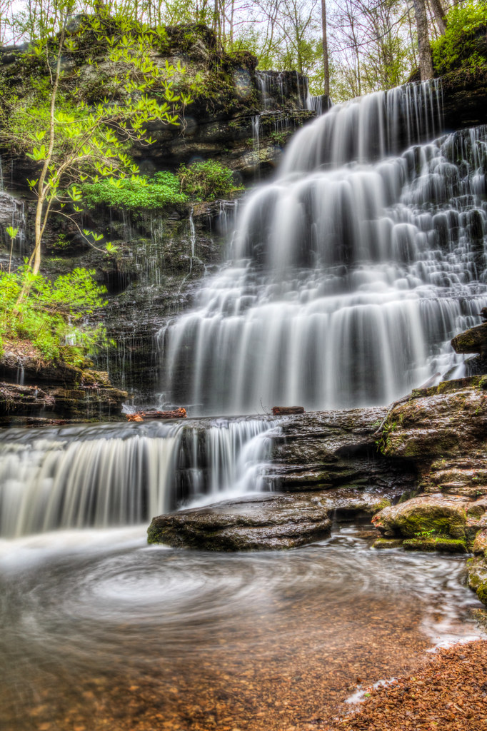
Capturing Lifes Flavor at Machine Falls, Short Springs Natural Area
Lower Busby Falls, Short Springs, Coffee County, Tennessee
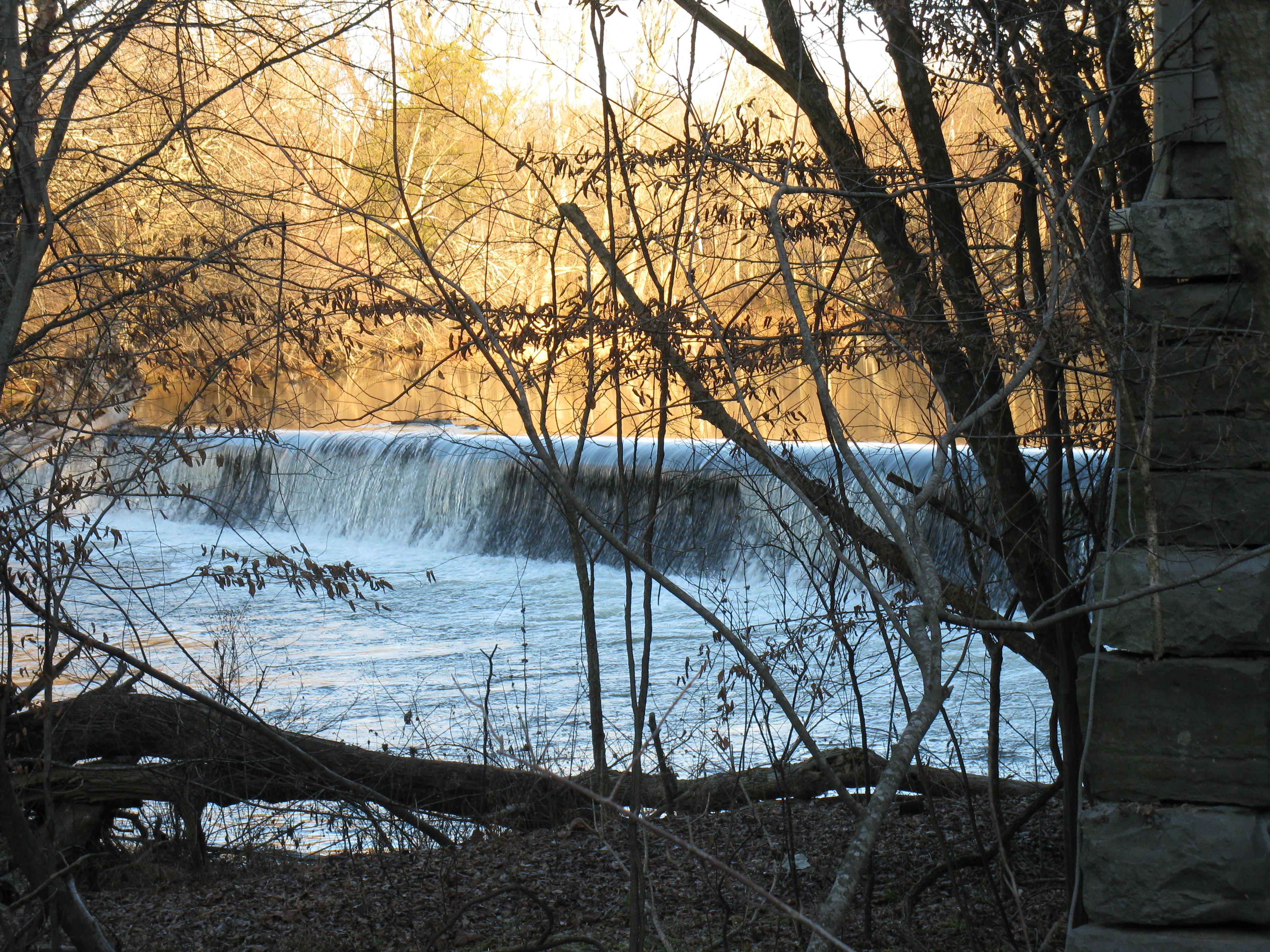
View looking downstream
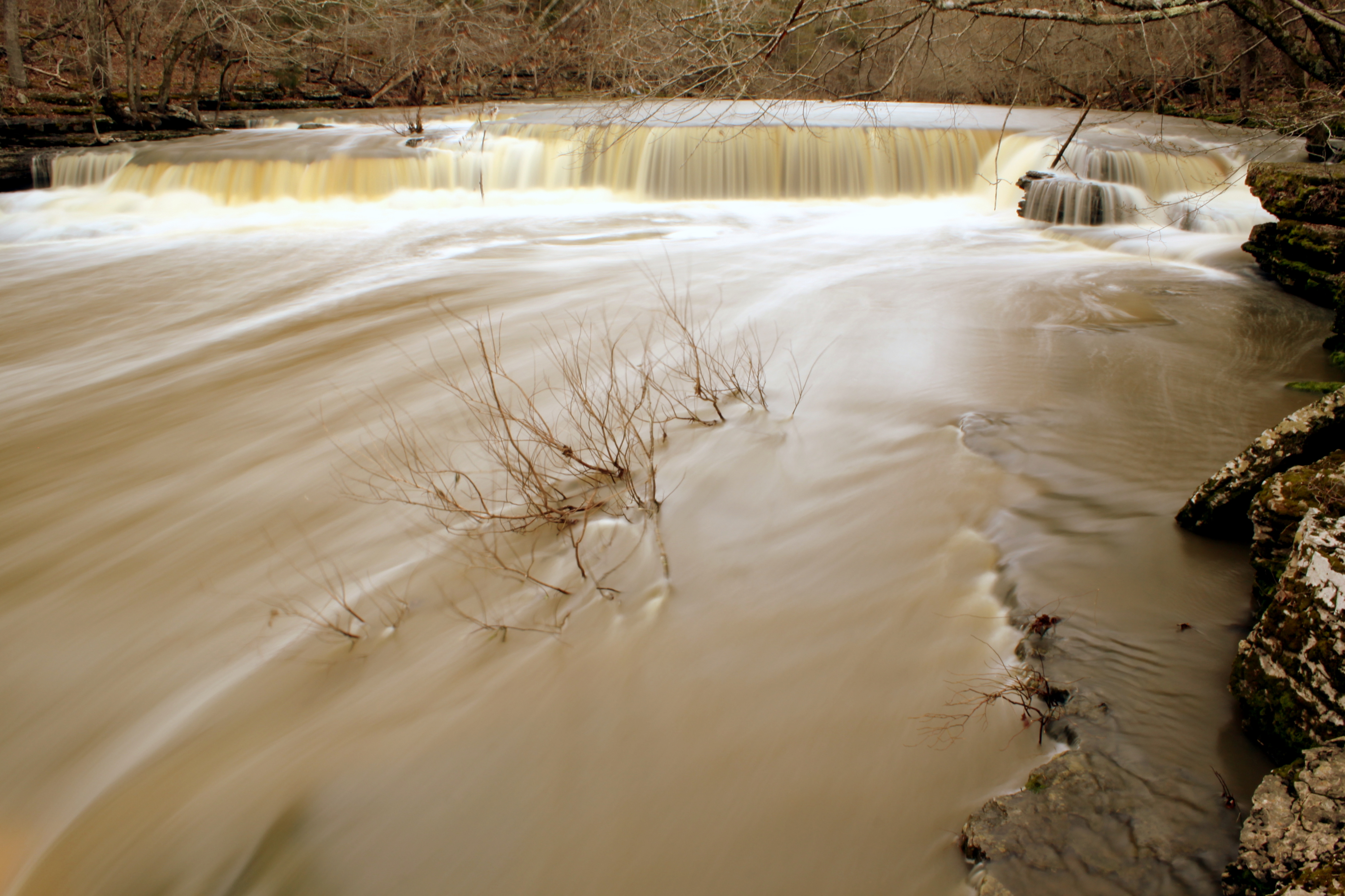
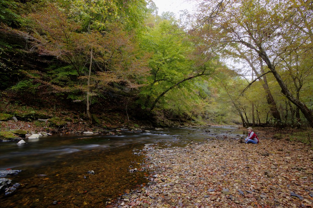
Low view from riverbed.
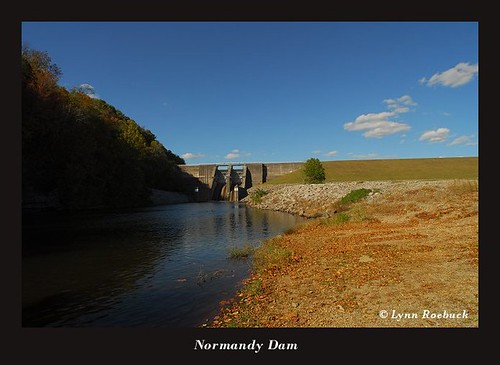
TVA: Normandy Dam 2007

Normandy Dam and the Duck River,Tennessee, May 3rd 2009

Through the Trees
Cortner's Mill afternoon view
Upper Big Falls - Old Stone Fort

Tullahoma Caboose
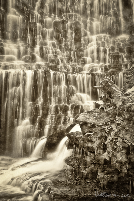
waterfall on rock ledge
Normandy, Bedford County, Tennessee, Population 141
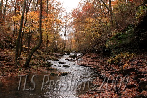
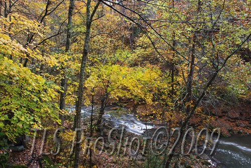
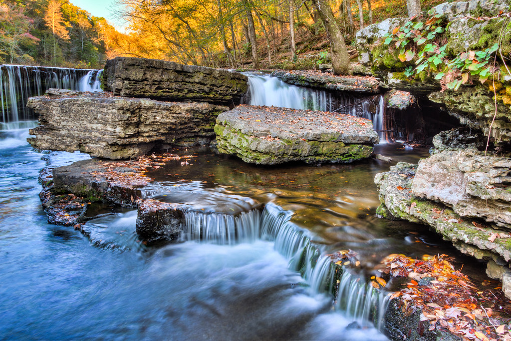
Flowing stream with fall colors in trees
Blue Hole Falls (2012, Zoomed View) - Old Stone Fork Park

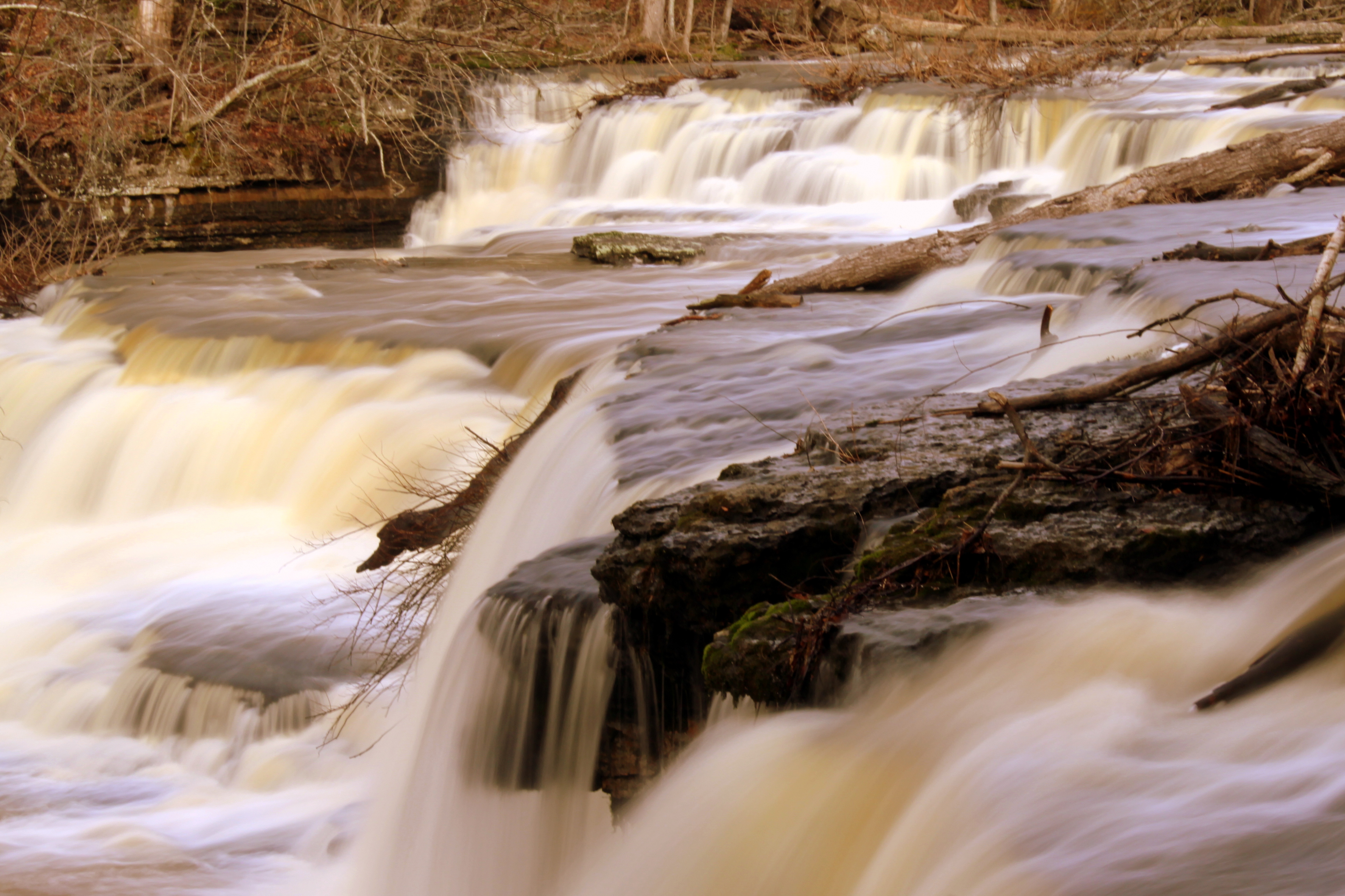
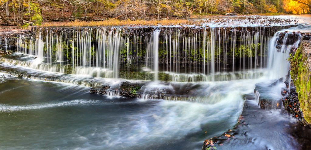
Tennessee Falls

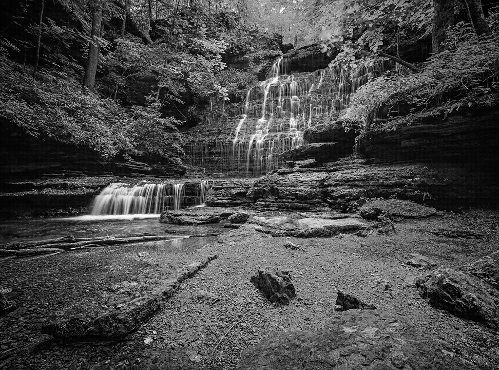
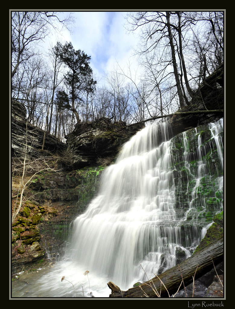
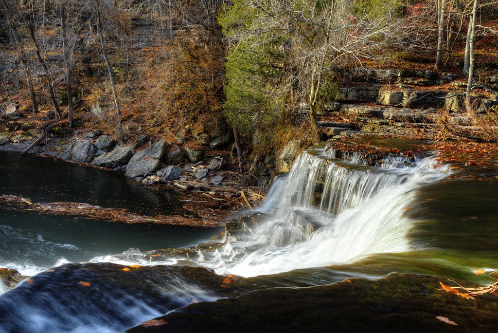
Machine Falls
Tennessee Falls

Falls on Shipman's Creek
The Barn at Ledford Mill, Wartrace, Tennessee
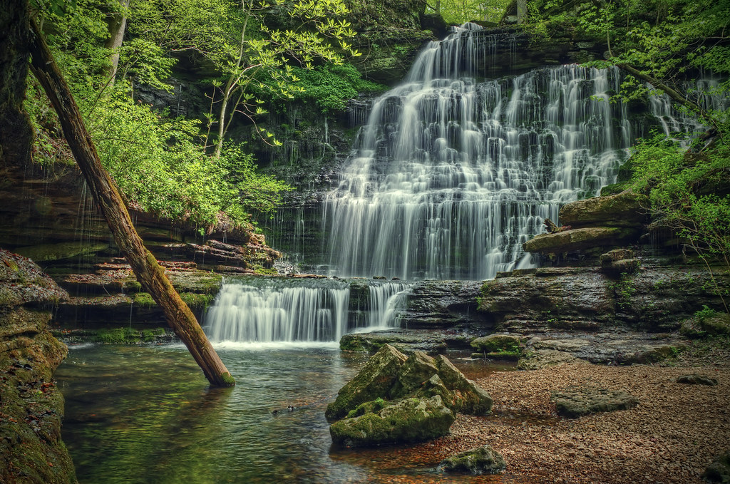
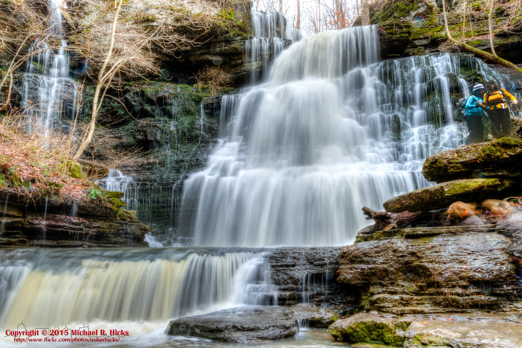
Machine Falls
Old Stone Fort State Park
Little Duck River

Chattanooga Shale, Mississippian and Devonian age, Little Falls, Little Duck River, Old Stone Fort State Archaeological Park, Coffee County, Tennessee 2

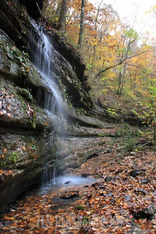
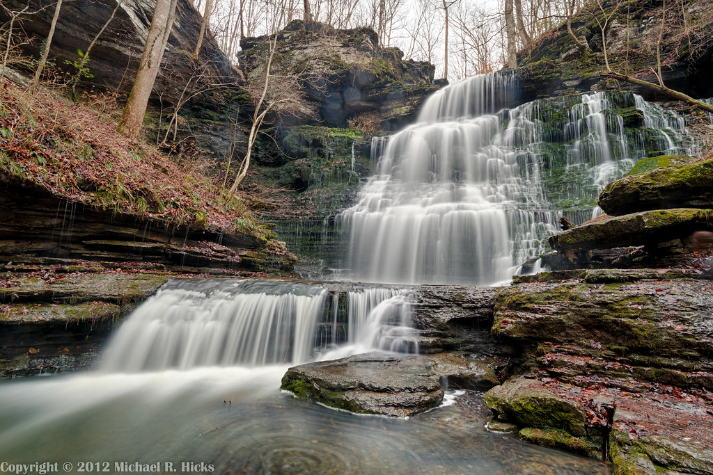
Short Springs State Natural Area - Machine Falls

Machine Falls
Machine Falls Detail

IMG_8472.jpg

Rudledge Falls

Above Rutledge Falls - Jan. 10, 2015

Machine Falls
Machine Falls
Old Stone Fork State Park 115º Panorama
Machine Falls
Short Springs State Natural Area - Jan. 2015
Topographic Map of E Grundy St, Tullahoma, TN, USA
Find elevation by address:

Places near E Grundy St, Tullahoma, TN, USA:
Tullahoma
12 Oaks Rd, Tullahoma, TN, USA
103 Hillcrest Dr
Hillcrest Dr, Tullahoma, TN, USA
113 Lake Hills Rd
109 Crosslake Dr
110 Lindsey Cir
207 Ashley Ct
N Jackson St, Tullahoma, TN, USA
55 Hunters Ridge Dr
105 N Garland Crest Ct
73 Fairview School Rd, Normandy, TN, USA
400 Cascade Hollow Rd
Bennett Rd, Tullahoma, TN, USA
Normandy Lake
35 Normandy Tullahoma Rd
Normandy
355 Rippy Ridge Rd
330 Rippy Ridge Rd
750 Normandy Rd
Recent Searches:
- Elevation of Corso Fratelli Cairoli, 35, Macerata MC, Italy
- Elevation of Tallevast Rd, Sarasota, FL, USA
- Elevation of 4th St E, Sonoma, CA, USA
- Elevation of Black Hollow Rd, Pennsdale, PA, USA
- Elevation of Oakland Ave, Williamsport, PA, USA
- Elevation of Pedrógão Grande, Portugal
- Elevation of Klee Dr, Martinsburg, WV, USA
- Elevation of Via Roma, Pieranica CR, Italy
- Elevation of Tavkvetili Mountain, Georgia
- Elevation of Hartfords Bluff Cir, Mt Pleasant, SC, USA