Elevation of E Grover St, Shelby, NC, USA

Location: United States > North Carolina > Cleveland County > 6, Shelby > Shelby >

Longitude: -81.536844

Latitude: 35.3020407

Elevation: 264m / 866feet

Barometric Pressure: 98KPa

Elevation Map:

elevation map of E Grover St, Shelby, NC, USA

Satellite Map:

Satellite map of E Grover St, Shelby, NC, USA

Related Photos:

shelbync 2t22 federalsignandsignal 2t22siren 2t22a federalsignsignal2t22
Federal Sign & Signal 2T22 - Shelby, NC
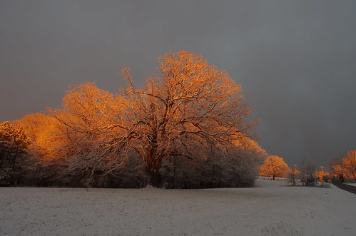
trees light sunset sunlight snow cold beautiful warm glow pentax near glowing f8 15mm k5ii
Last Light
fire
Happy Solstice
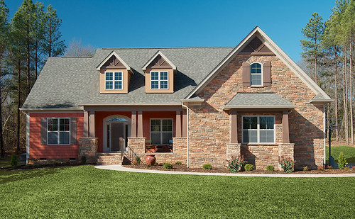
red house home stone fireplace exterior garage columns salmon porch blueprint shake gables craftsman lightpost angled floorplans 1220 dormers houseplans homeplans lisenby donaldgardner
Plan #1220 - The Lisenby - Builder Submitted Photos
published northcarolina bbq 500views 2008 cafesandrestaurants
Bridges BBQ - Shelby, NC
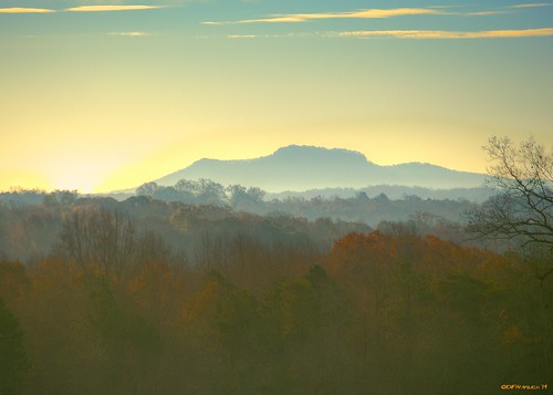
autumn fall unitedstates northcarolina vista hdr lightroom kingsmountain mountainroad photomatix cherryville
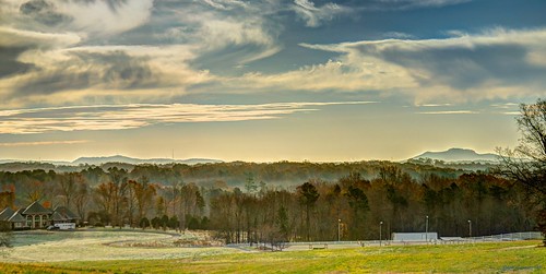
Kings Mountain from Miles Away
autumn fall unitedstates northcarolina vista hdr lightroom kingsmountain mountainroad photomatix cherryville
Kings Mountain from Miles Away
northcarolina shelby courthouse clevelandcounty
Side View, Old Cleveland County Courthouse
Triumph Side-View
autumn fall unitedstates northcarolina vista hdr lightroom kingsmountain mountainroad photomatix cherryville
Kings Mountain from Miles Away
nature flying geese nikon unitedstates northcarolina migration cherryville clevelandcountync mosslakenc
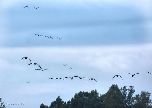
Flying South
valencia square squareformat iphoneography instagramapp uploaded:by=instagram foursquare:venue=4c6ec07dd5c3a1cd193cc92b
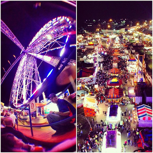
The gianormous ferris wheel with an awesome view tonight! #fair #fall #qualitytime #ferriswheel
augphotoimagery abandoned architecture building decay exterior old ruins texture weathered earl northcarolina unitedstates
Landscaped Beauty
mountain nature composite photoshop landscape nikon unitedstates northcarolina hdr kingsmountain photomatixpro shelbync cherryville clevelandcountync
King's Pinnacle at Sun Set
usa overgrown america geotagged wooden vines northcarolina vegetation thesouth kudzu standbyme abandonedtrestle shelbync southernrailwaybridge clevlandcounty offofnc226
Where Rails Once Ran
aireal airealphotography drone landscape nohdr snow winter cherryville northcarolina unitedstates us
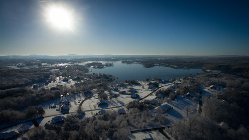
Winter Morning
clevelandcountync mosslakenc twinsprings aireal djiphantom3pro drone dronephotography cherryville northcarolina unitedstates us
Moss Lake after the Crash
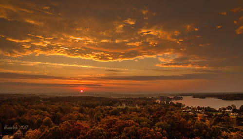
clevelandcountync dji dronephotography hdr mosslakenc naturenc twinsprings aireal clouds djiphantom3pro drone lightroom nature quadcopter sky sunset cherryville northcarolina unitedstates us
Sunset on Earth
aireal airealphotography drone landscape nohdr snow winter cherryville northcarolina unitedstates us
Winter Morning
nature cloud clouds
Cloud magic....
Right now: fishing the 1st Broad River
Ardea Spring Foraging Workshop
pink light sunset orange sunlight snow cold clouds fence lens landscape prime evening nice natural pentax snowy country f8 15mm snowscape k5 k5ii
Snowy Sunset
*FISHON
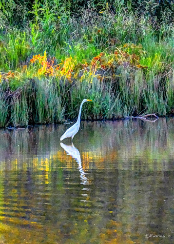
nature nikon unitedstates northcarolina waterbird telephoto waterfowl egret hdr greategret photomatixpro adobelightroom cherryville naturenc clevelandcountync mosslakenc
Great Egret in the Sunset
northcarolina drivein movies snackbar flickrandroidapp:filter=iguana thisismysouth thisfilmwith
The Last Picture Show
Kudzu, Near Shelby, North Carolina, U.S. 74
plants d50 2010
Pampas Grass
plants d50 2010
Pampas Grass
sunset sports football university 2010 g11 catamounts gardnerwebb westerncarolina jbtuohy spanglerstadium runninbulldogs
Spangler Stadium
Bradford Pear