Elevation of E Colonel Wright Rd, Shelton, WA, USA
Location: United States > Washington > Mason County > Shelton >
Longitude: -122.86986
Latitude: 47.241615
Elevation: 24m / 79feet
Barometric Pressure: 101KPa
Elevation Map:
Satellite Map:
Related Photos:

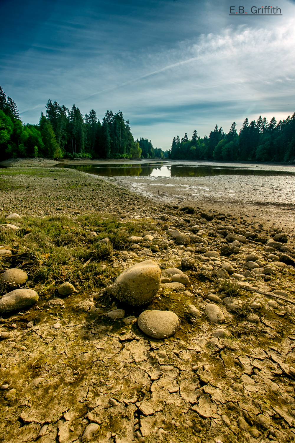
2010 Amanitas Muscaria taken from an ant's point of view
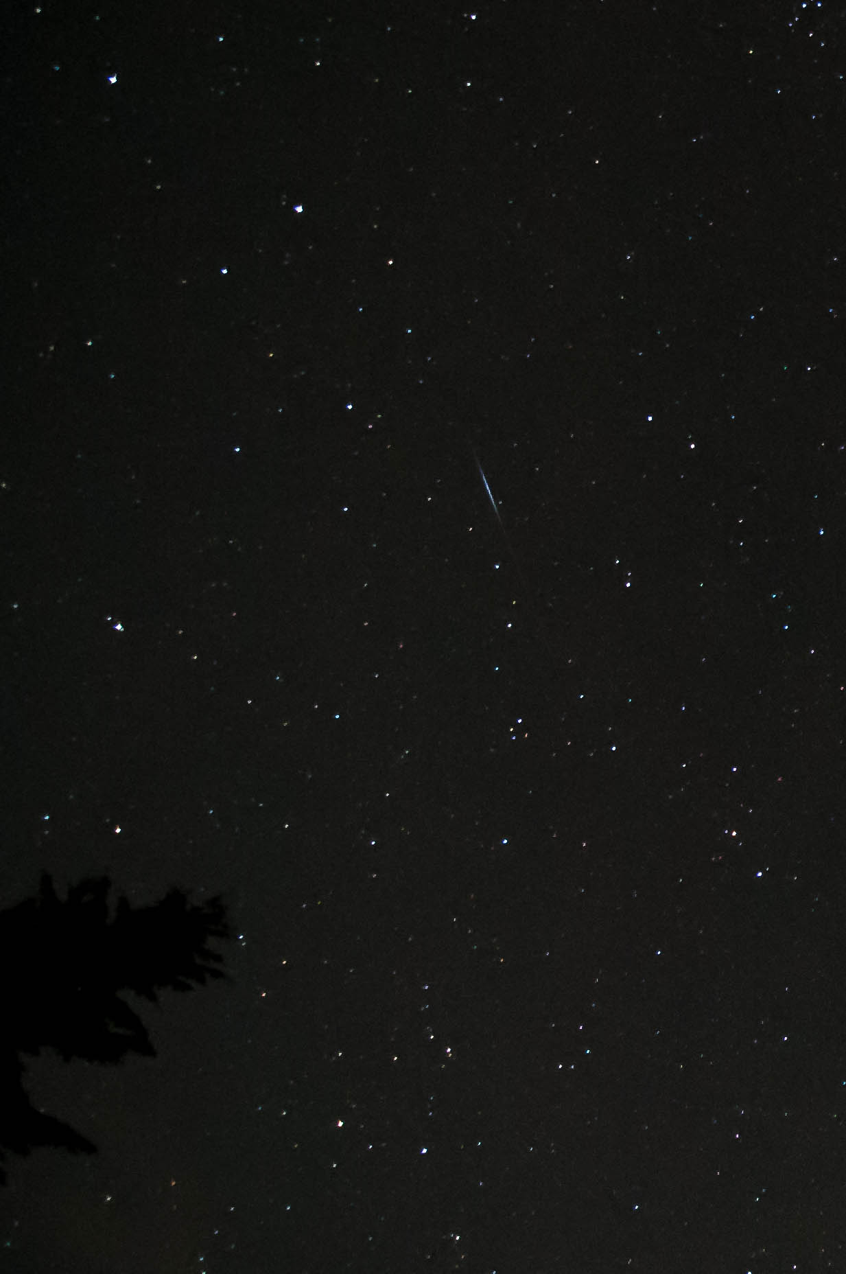
Camelopardalid Meteor
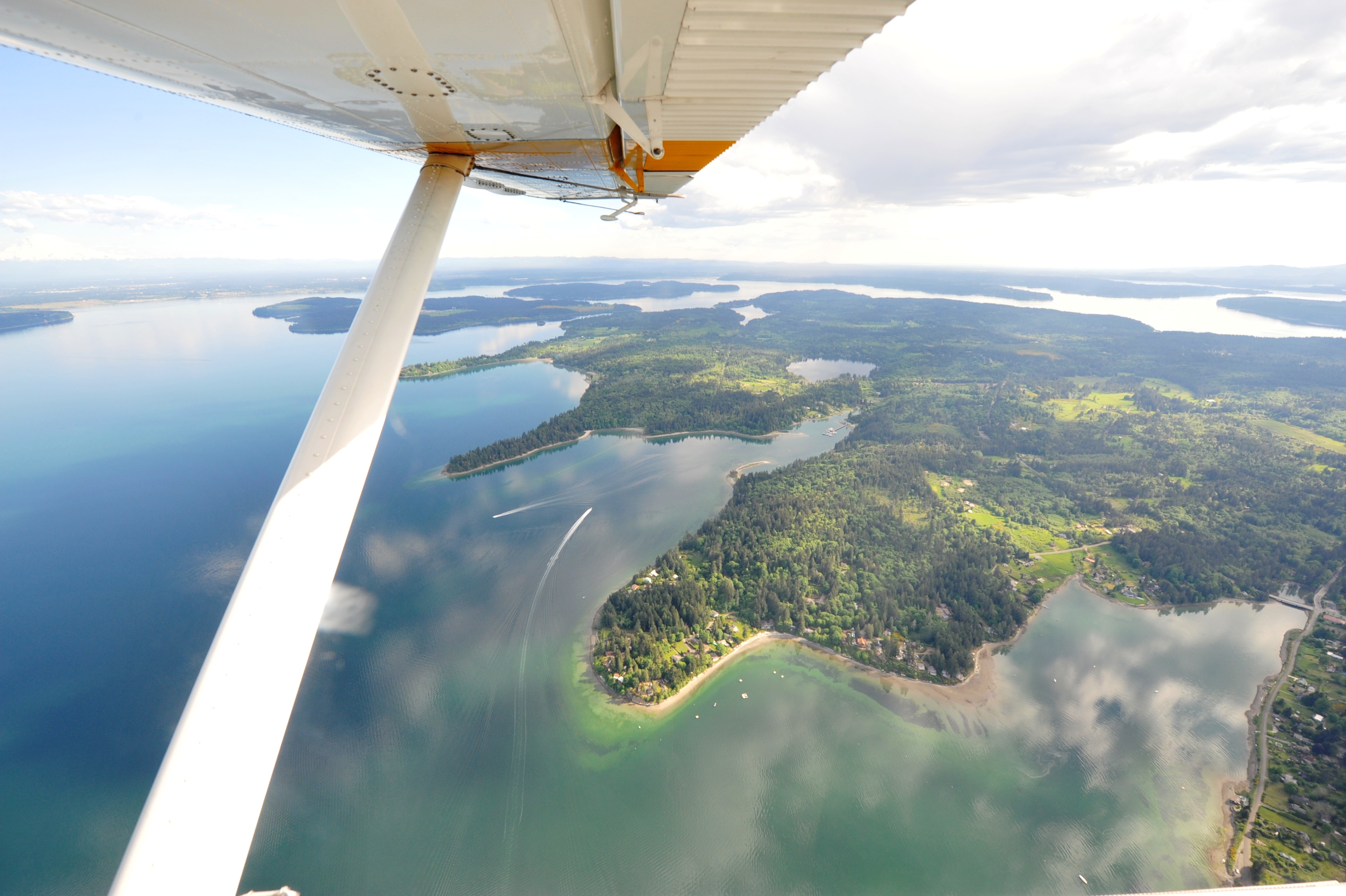
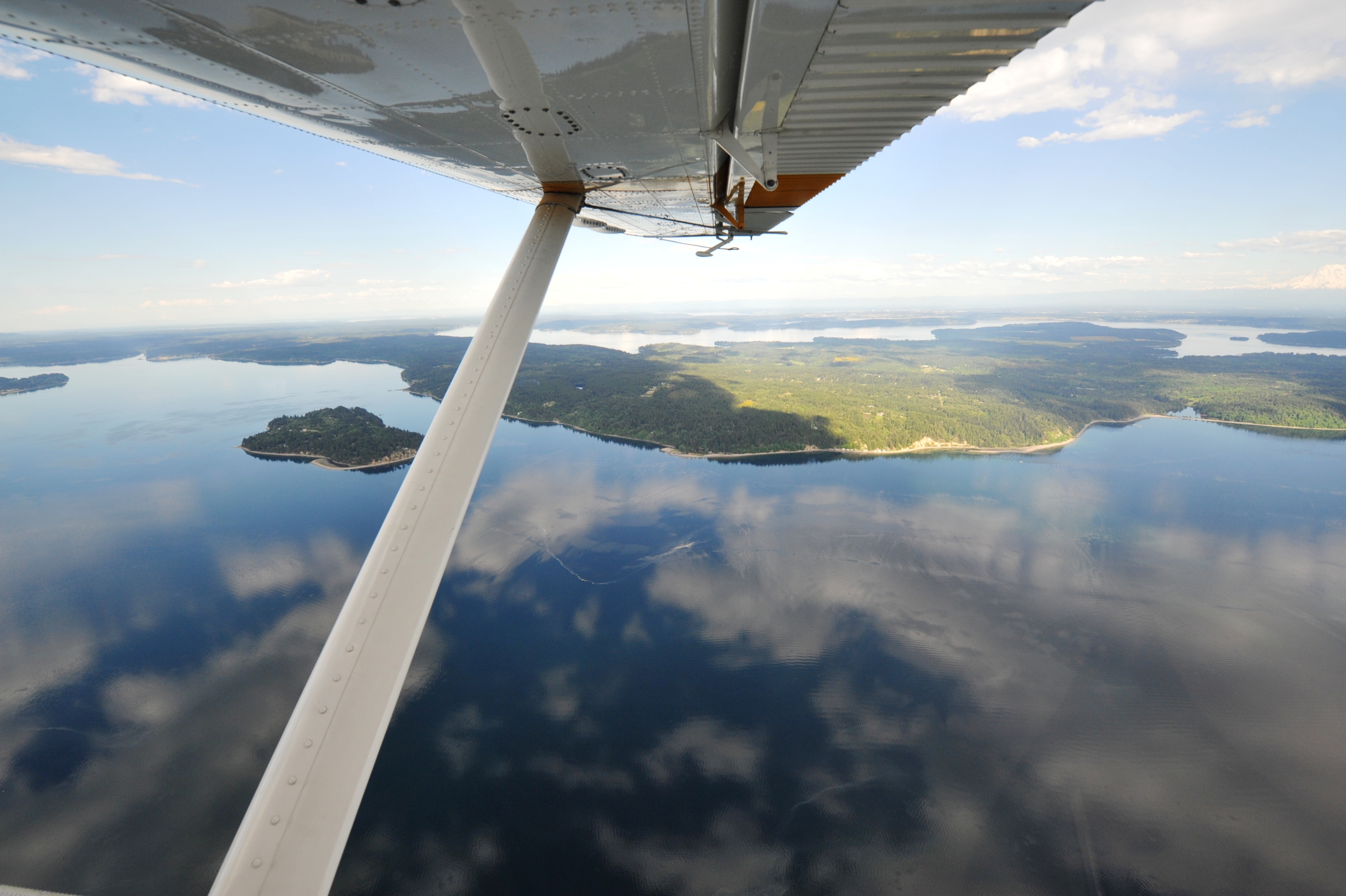
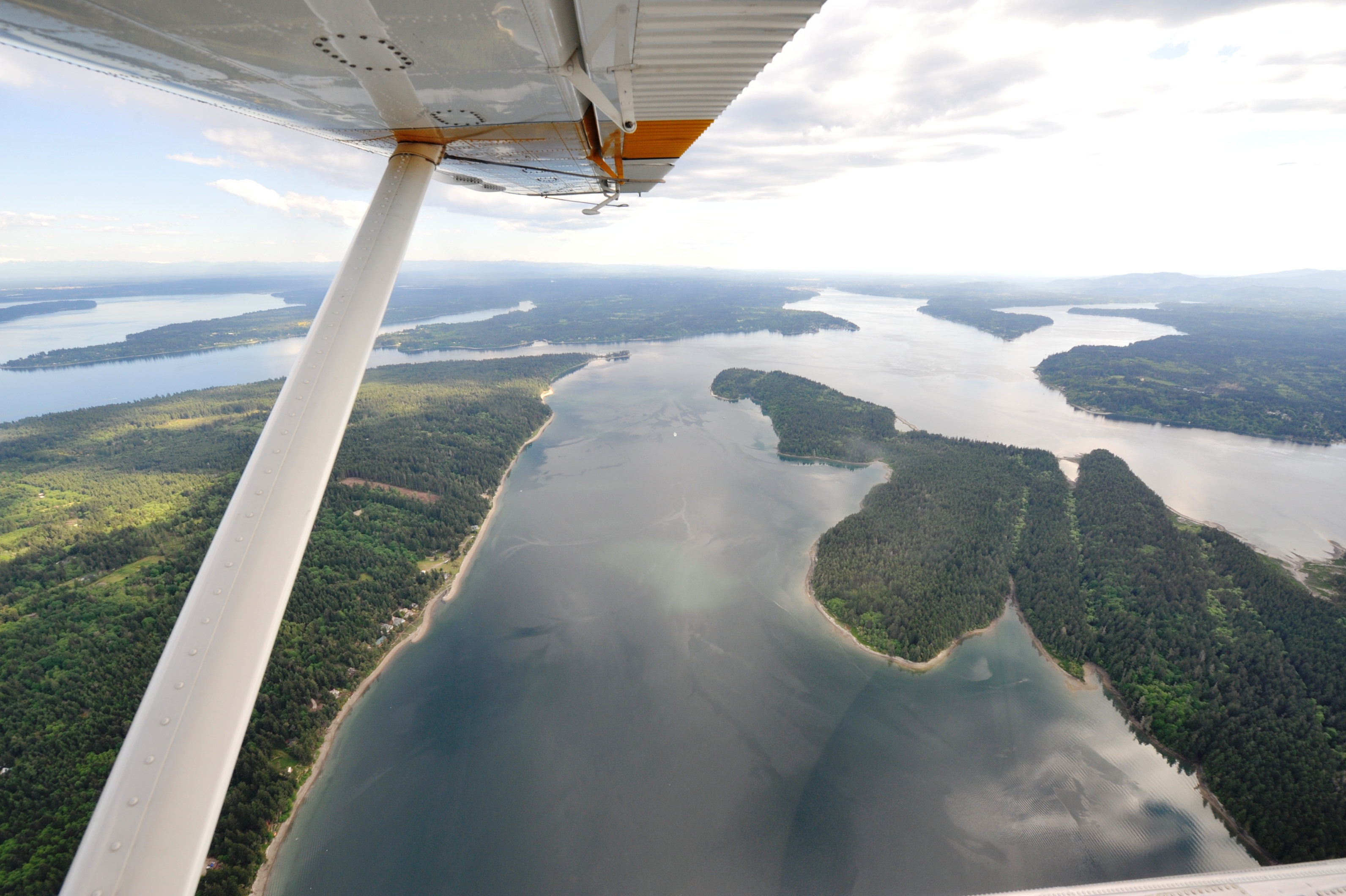
Eyes Over Puget Sound May 2016
Eyes Over Puget Sound May 2016

Eyes Over Puget Sound May 2016
Eyes Over Puget Sound May 2016
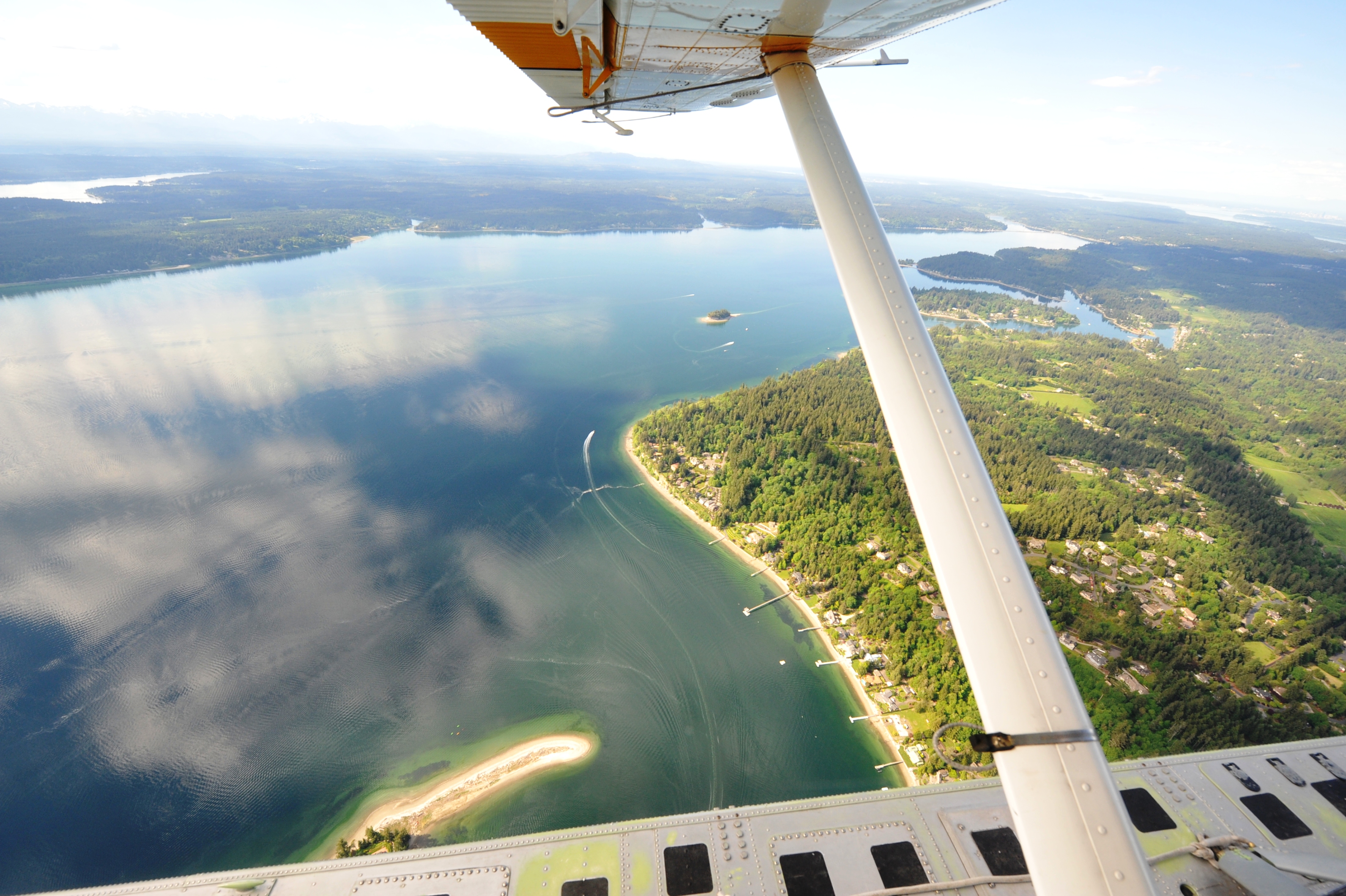
Eyes Over Puget Sound May 2016
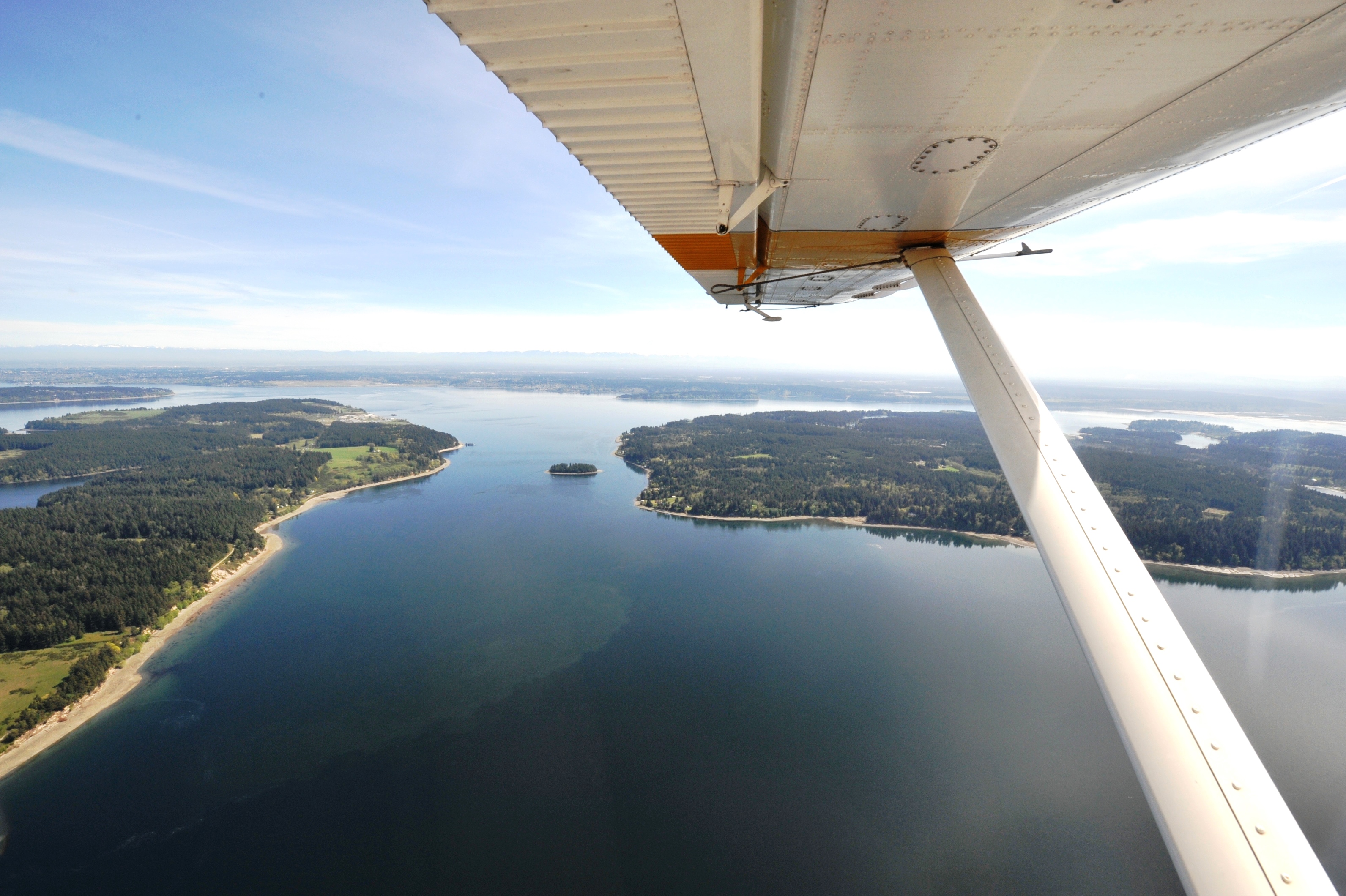
Eyes Over Puget Sound April 2016

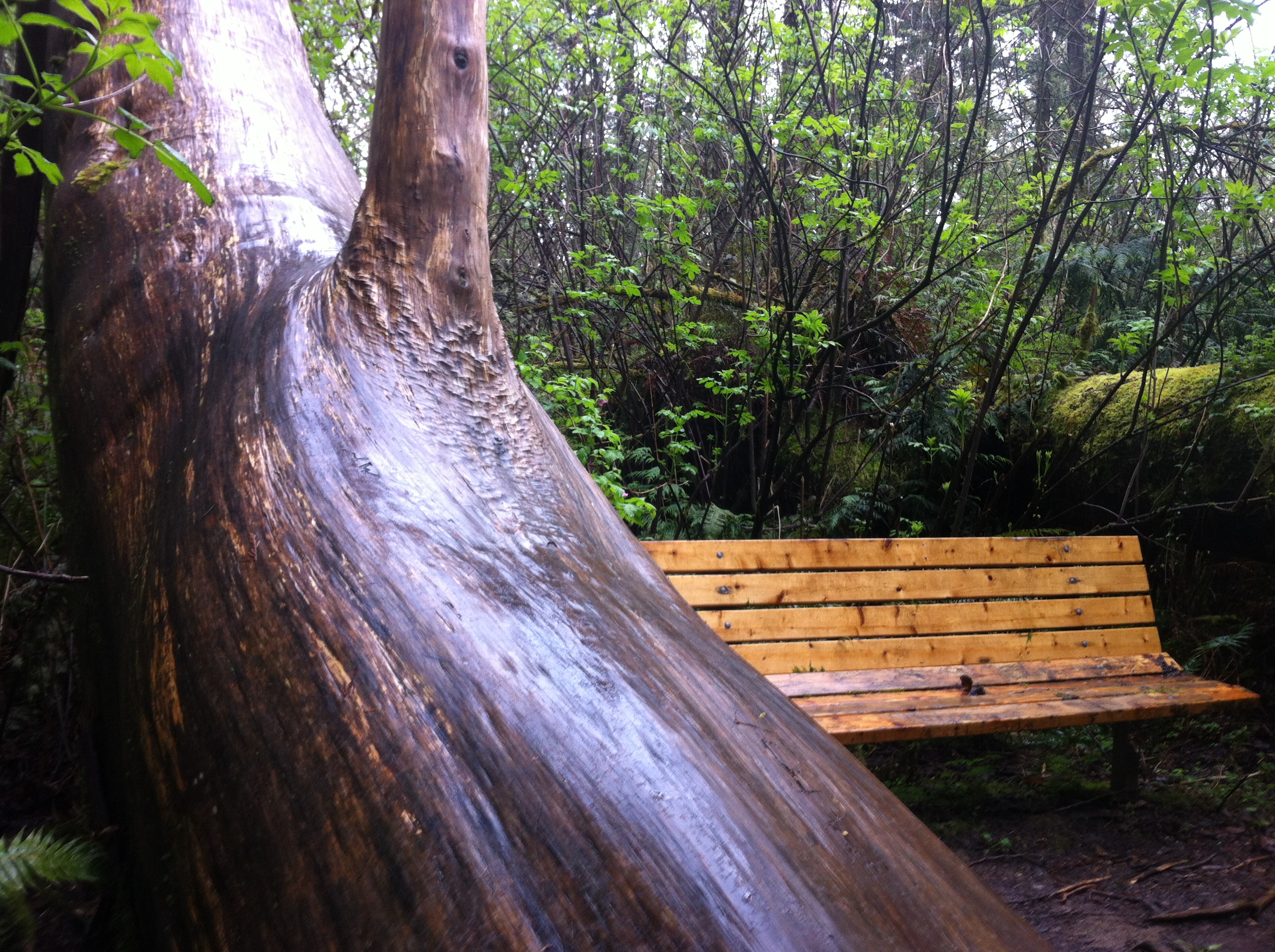
Reflecting...

DSC01394.JPG
Penrose Point

17226.jpg
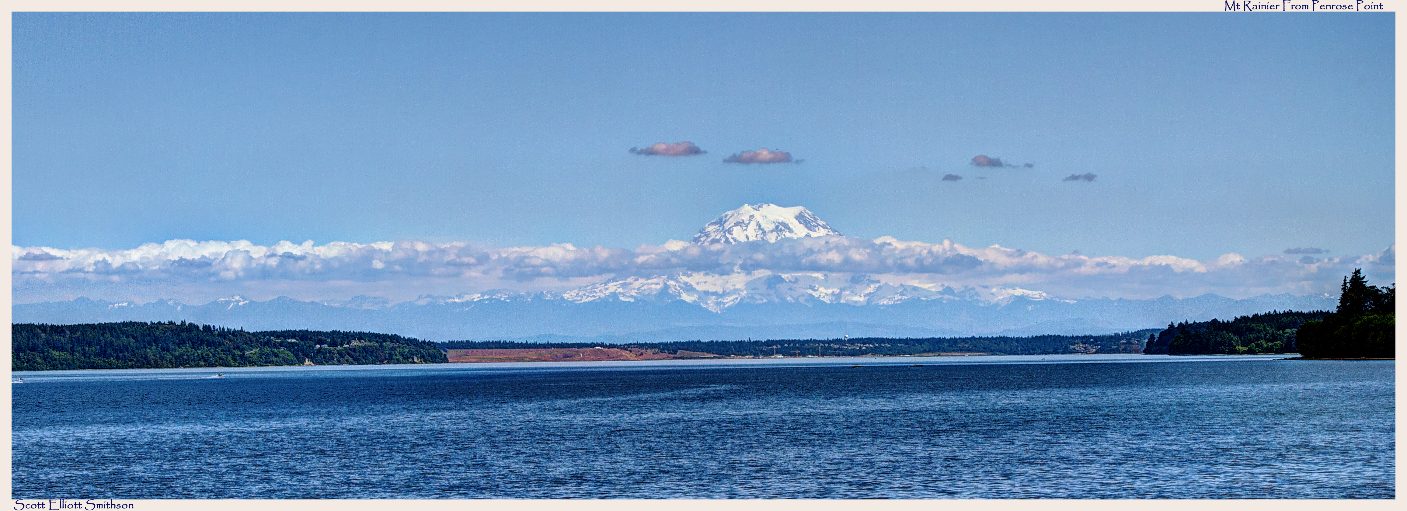
Mt Rainier from Penrose Point Pano

Table with a view
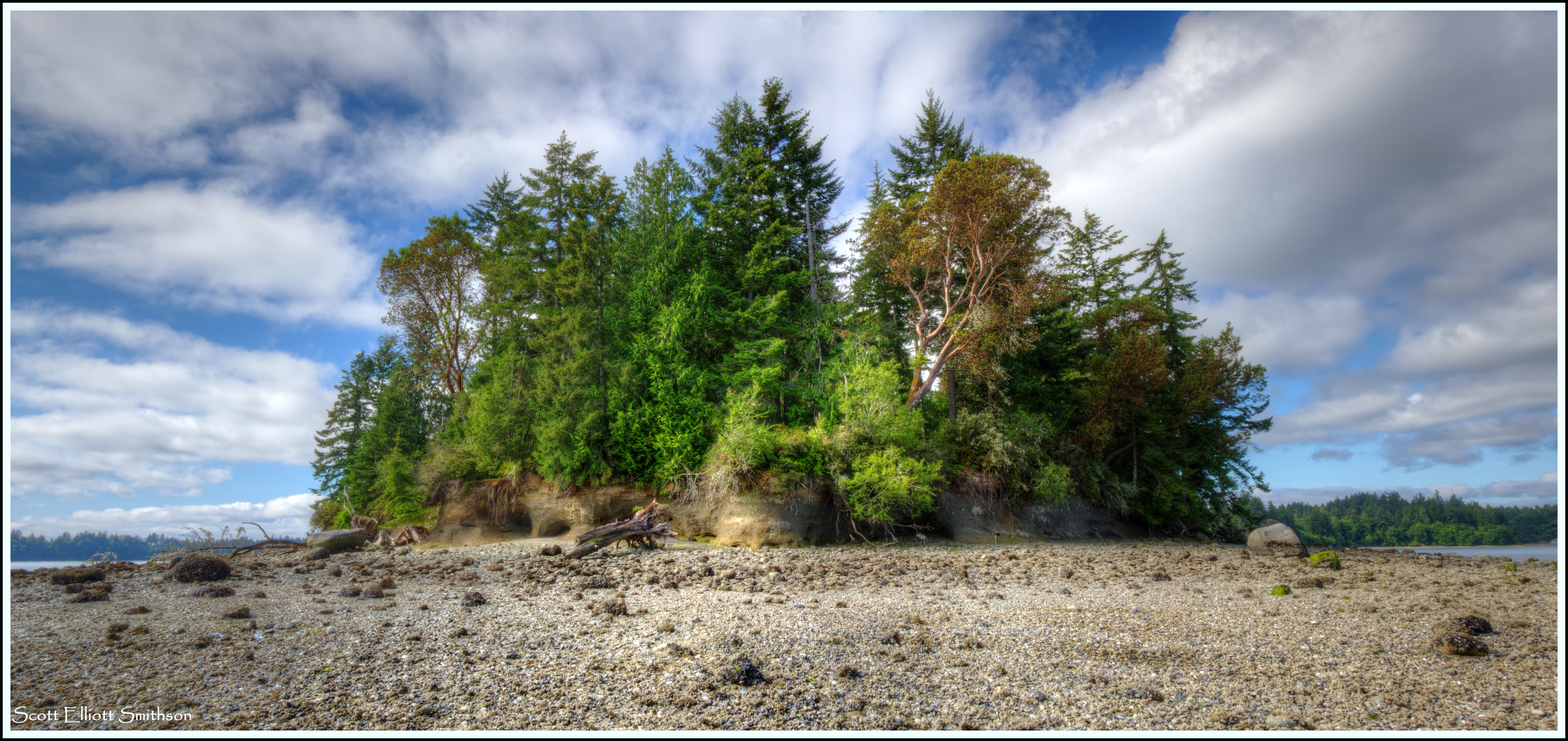
Hope Island State Park (Mason Co.)

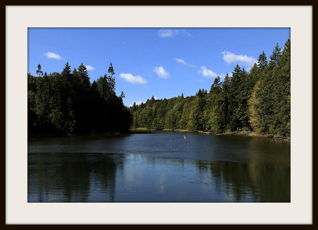
Hammersley Inlet; my morning view

Retriever @ Home

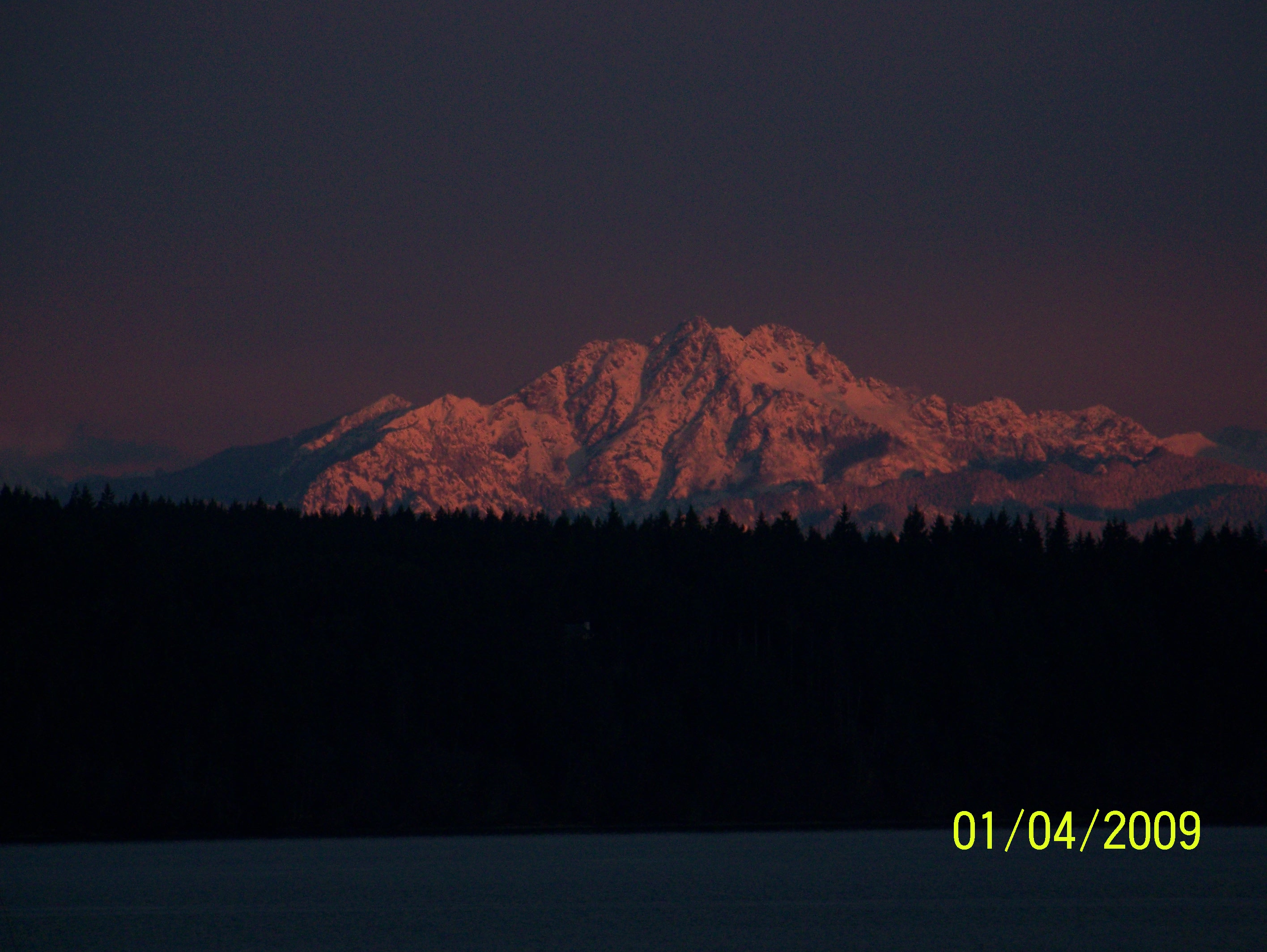
Awesome views of Rainier
Woodard Bay 01

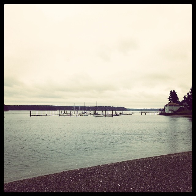
Im at the Beach

The View from the Beach
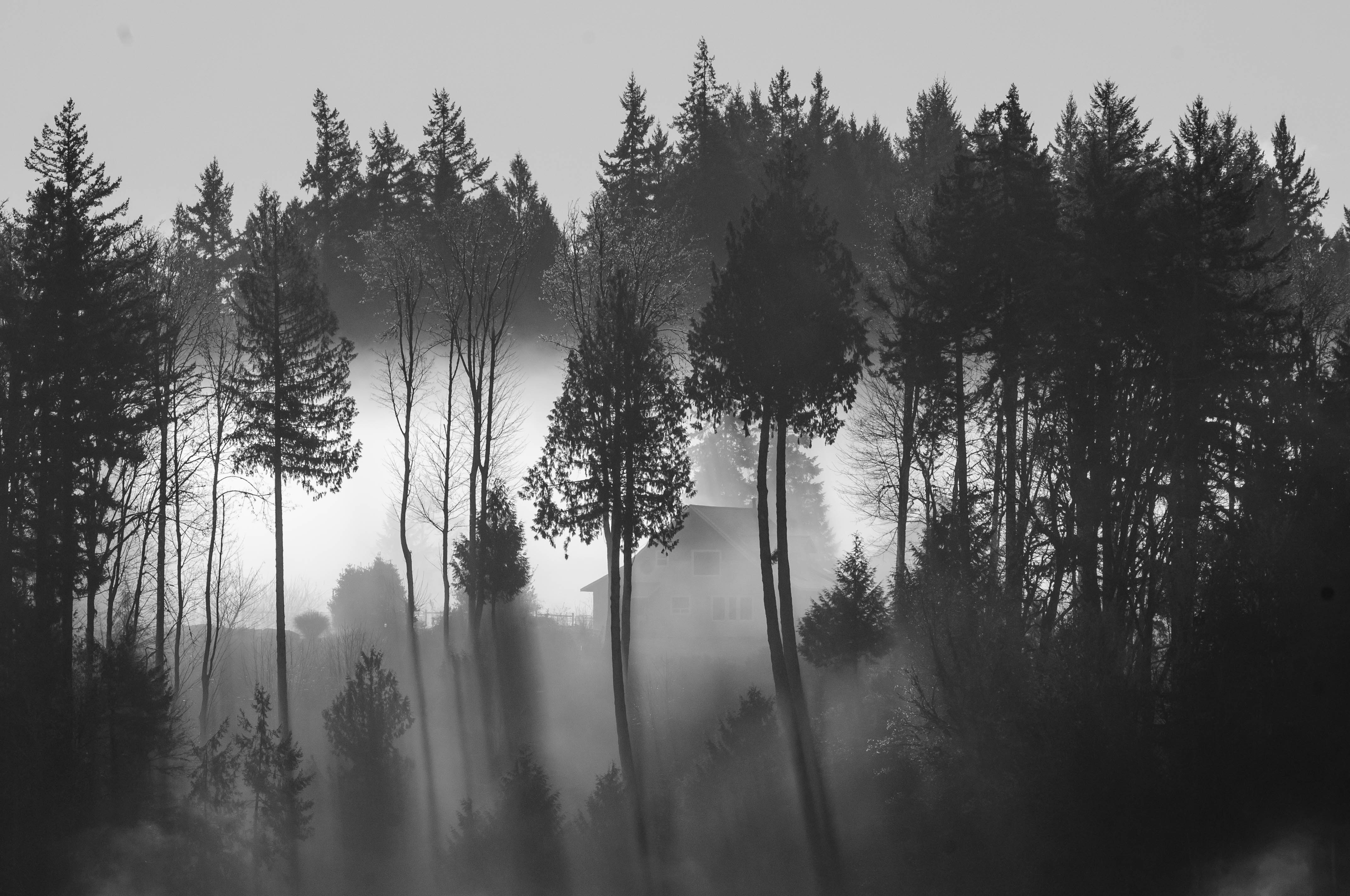
Foggy morning on the island

Morning Fogscape

iPhoneIMG-413
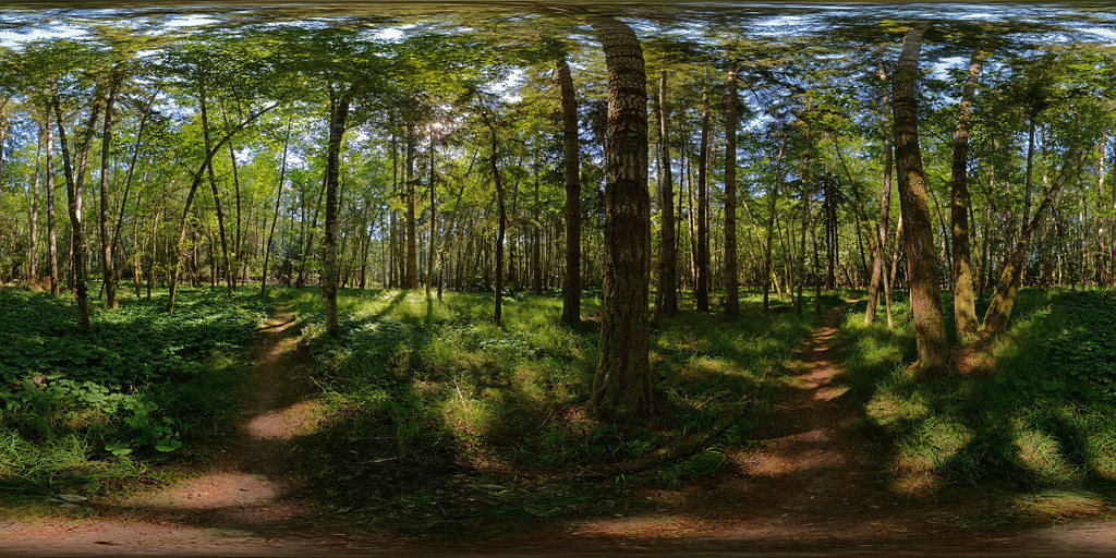
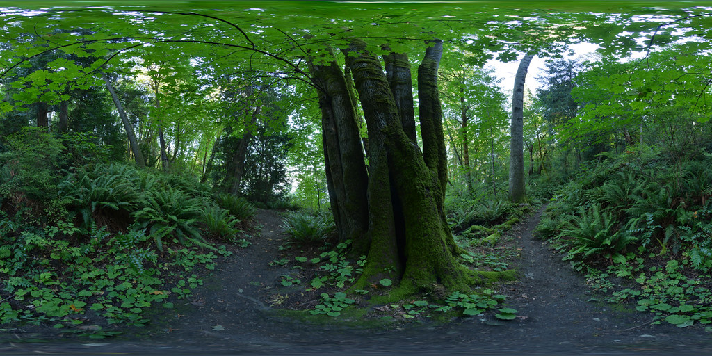
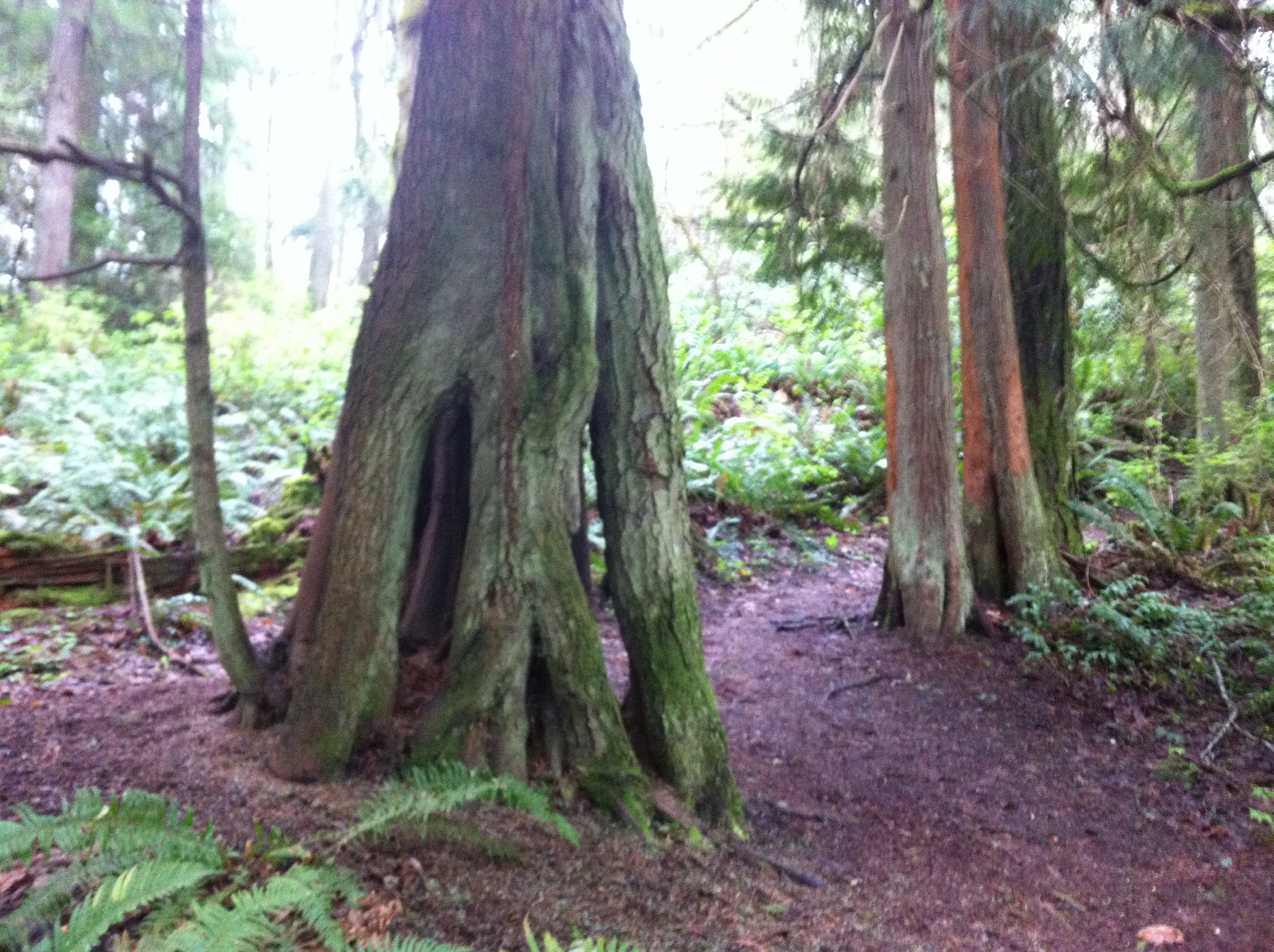
Forest, Tolmie State Park, Washington, January 2014

Song Sparrow
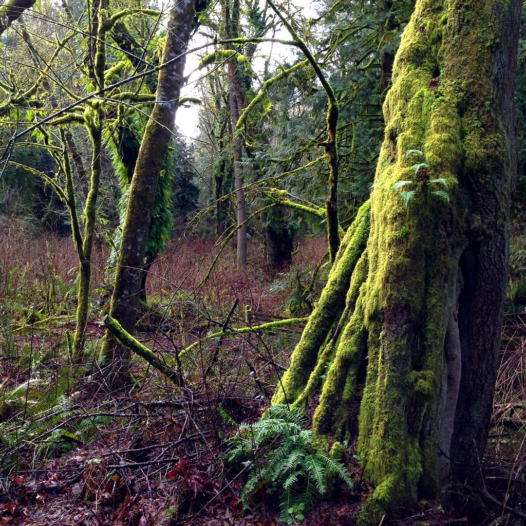
Woodard Bay

Cutout Canoe

Woodard Bay
Nisqually Valley
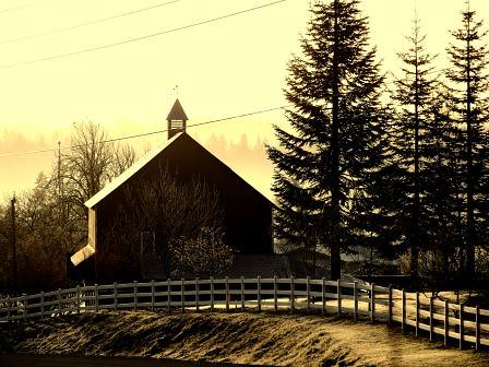
Batstone Farm
Kopachuck State Park
Nisqually Valley
Beautiful walk along the Sound.

Joemma Pier
Olympics from Henderson Inlet
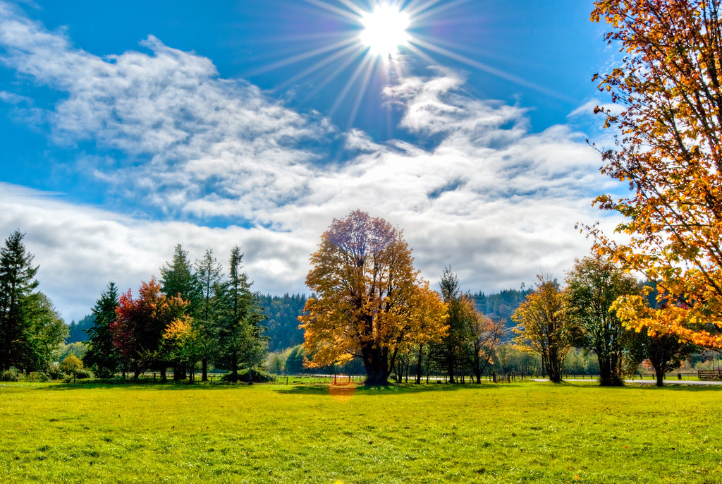
A Fall Tree

iPhoneIMG-409

wedding5019.jpg
Topographic Map of E Colonel Wright Rd, Shelton, WA, USA
Find elevation by address:

Places near E Colonel Wright Rd, Shelton, WA, USA:
3513 E North Island Dr
3513 E North Island Dr
1122 E Madrona Blvd Nw
Grant
E Krabbenhoft Rd, Grapeview, WA, USA
831 E Strong Rd
2014 Lake Dr Sw
271 E Wilchar Blvd
90 E Franjo Beach Rd
2807 Whiteman Rd Kp S
91 E Garden Pl
1130 E Phillips Lake Rd
216 Cornwall Rd Nw
216 Cornwall Rd Nw
18020 26th St Ct E
1381 E Phillips Lake Loop Rd
Steamboat Island Road Northwest, Olympia, WA, USA
9826 Whitecap Dr Nw
2528 Westwind Dr Nw
2523 Westwind Dr Nw
Recent Searches:
- Elevation of Corso Fratelli Cairoli, 35, Macerata MC, Italy
- Elevation of Tallevast Rd, Sarasota, FL, USA
- Elevation of 4th St E, Sonoma, CA, USA
- Elevation of Black Hollow Rd, Pennsdale, PA, USA
- Elevation of Oakland Ave, Williamsport, PA, USA
- Elevation of Pedrógão Grande, Portugal
- Elevation of Klee Dr, Martinsburg, WV, USA
- Elevation of Via Roma, Pieranica CR, Italy
- Elevation of Tavkvetili Mountain, Georgia
- Elevation of Hartfords Bluff Cir, Mt Pleasant, SC, USA