Elevation of E Burns St, Walnut, KS, USA

Location: United States > Kansas > Crawford County > Walnut > Walnut >

Longitude: -95.076970

Latitude: 37.6006749

Elevation: 283m / 928feet

Barometric Pressure: 98KPa

Elevation Map:

elevation map of E Burns St, Walnut, KS, USA

Satellite Map:

Satellite map of E Burns St, Walnut, KS, USA

Related Photos:

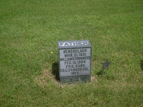
civilwarveteran easthillcemetery tombstonephoto rensselaerbutler coe34thmainfantry eriekansas
Rensselaur Butler1
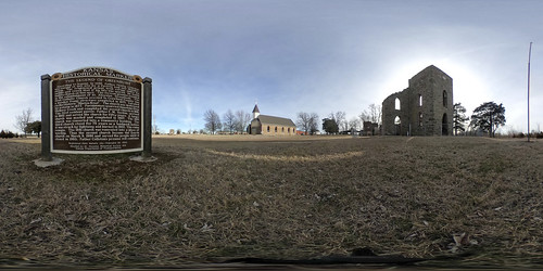
church kansas vr greenberg equirectangular staloysius googlecardboard ricohthetas
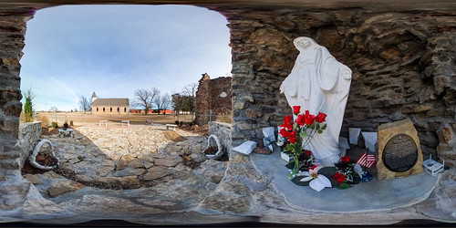
St. Aloysius Church Historic Site #theta360
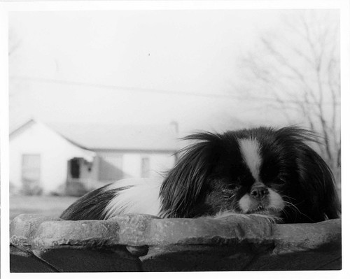
Princess Sophie
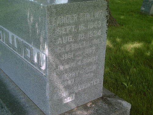
hobby biography civilwarveteran easthillcemetery tombstonephoto leanderstillwell cod61stillinfantry borninjerseycountysept161843 eriekansas
Leander Stillwell
blackandwhite dog film wormseyeview
worm's eye view: Princess Sophie
hobby civilwarveteran easthillcemetery tombstonephoto rensselaerbutler coe34thmainfantry bornatwilliamstownmaonmarch211831 eriekansas
Rensselaer Butler
church kansas vr greenberg equirectangular staloysius photomatix googlecardboard ricohthetas
St. Aloysius Church #Theta360
blue houses sky sun white tree windmill clouds corn cattle wheat barns silos roads sheds oilwells sonysal18135 sonyilca77m2
Rural Crawford County Kansas
blue houses sky sun white tree windmill clouds corn cattle wheat barns silos roads sheds oilwells sonysal18135 sonyilca77m2
Rural Crawford County Kansas
blue houses sky sun white tree windmill clouds corn cattle wheat barns silos roads sheds oilwells sonysal18135 sonyilca77m2
Rural Crawford County Kansas
blue trees houses sky white green clouds haze corn wheat barns hills farms sheds ruralroad sonyslt18135 sonyalpha77mii
Rural Bourbon County Kansas
blue houses sky sun white tree windmill clouds corn cattle wheat barns silos roads sheds oilwells sonysal18135 sonyilca77m2
Rural Crawford County Kansas
blue trees houses sky white green clouds haze corn wheat barns hills farms sheds ruralroad sonyslt18135 sonyalpha77mii
Rural Bourbon County Kansas
blue houses sky sun white tree windmill clouds corn cattle wheat barns silos roads sheds oilwells sonysal18135 sonyilca77m2
Rural Crawford County Kansas
blue houses sky sun white tree windmill clouds corn cattle wheat barns silos roads sheds oilwells sonysal18135 sonyilca77m2
Rural Crawford County Kansas
blue houses sky sun white tree windmill clouds corn cattle wheat barns silos roads sheds oilwells sonysal18135 sonyilca77m2
Rural Crawford County Kansas
blue houses sky sun white tree windmill clouds corn cattle wheat barns silos roads sheds oilwells sonysal18135 sonyilca77m2
Rural Crawford County Kansas
blue houses sky sun white tree windmill clouds corn cattle wheat barns silos roads sheds oilwells sonysal18135 sonyilca77m2
Rural Crawford County Kansas
blue houses sky sun white tree windmill clouds corn cattle wheat barns silos roads sheds oilwells sonysal18135 sonyilca77m2
Rural Crawford County Kansas
church statues stainedglass stfrancisdehieronymochurch stpaulks
St. Francis de Hieronymo Church
church religious statues stainedglass stfrancisdehieronymochurch stpaulks
St. Francis de Hieronymo Church
park street church buildings postoffice schoolmemorial sonysal18135 crawfordcountykansas sonyilca77m2 heplerkansas
Hepler Kansas
blue houses sky sun white tree windmill clouds corn cattle wheat barns silos roads sheds oilwells sonysal18135 sonyilca77m2
Rural Crawford County Kansas
blue trees houses sky white green clouds haze corn wheat barns hills farms sheds ruralroad sonyslt18135 sonyalpha77mii
Rural Bourbon County Kansas